Agricultural Land with
251st Street lot 6, Mc Louth, KS 66054
For Sale
New
$180,000
Land, McLouth, KS
Property SizeContact for details
Lot Size9.90 Acres
Days on Market4
Property Features for 251st Street lot 6
General Information
Property type
Property subtype
Zoning
Elementary school district
Middle school district
High school district
Directions
Subdivision
Standard status
APN
Lot size
Taxes and HOA fees
Tax Description
Tax Annual Amount
Legal Description
Listing Agency:
United Real Estate Kansas City
(816) 629-4494
Listed By:
Lindsay Meddaugh
(913) 609-0387
Added: Nov 10
Last Checked: Nov 13 at 5:06AM
MLS# 2650273
Copyright © 2026 Heartland Multiple Listing Service. All rights reserved. All information provided by the listing agent/broker is deemed reliable but is not guaranteed and should be independently verified.

Ask AI about this property
Review the available facts, identify missing information and prepare questions for the agent.
Investment Insights
Based on property information with market context.
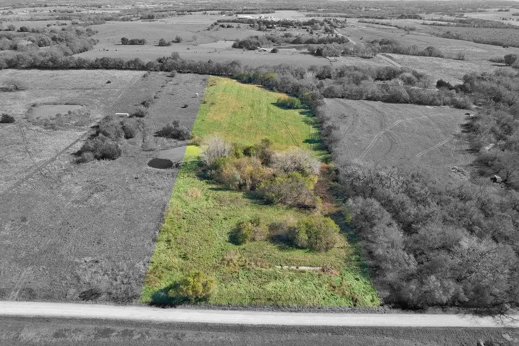
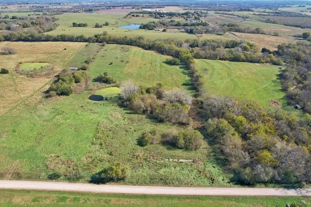
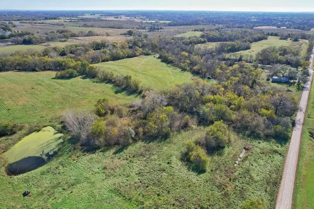
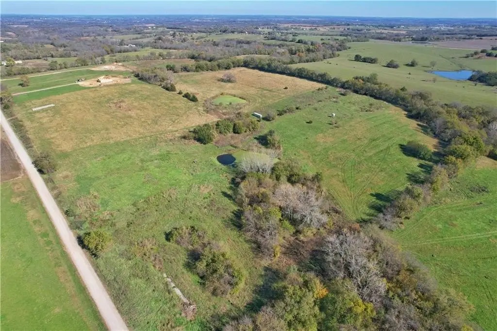
This 9.9-acre agricultural parcel includes rolling pasture, mature tree lines, and a private pond. AG zoning supports its agricultural land classification.
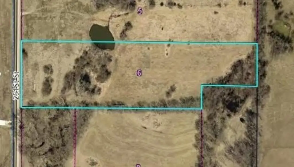
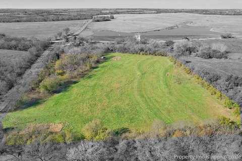
The property borders 251st Street in McLouth, Kansas. An aerial plat map depicts the parcel boundaries.
The property borders 251st Street in McLouth, Kansas. An aerial plat map depicts the parcel boundaries.
Key Highlights
- 9.9 acres of agricultural land
- AG zoning
- Private pond on the property
Property Analytics
Who owns this building?
See the owner, sales and loan history
Open Analytics
Location Intelligence
Trade Area within ½ mile
3
Businesses Nearby
Explore this area
Business Placement
Demographics for 66054, KS
2,774
Population
1,226
Households
2.3
Avg Household Size
42
Median Age
28%
College-Educated
96%
High-School Grad
77.6 sq mi
ZIP Area
36
Density / Sq Mi
$103,333
Median Household Income
$50,637
Median Earnings
$1,071
Median Rent
$240,500
Median Home Value
Check the figures for this property
Cap Rate, Value Estimation, Potential NOI and more
View Realmo Analytics




Frequently Asked Questions
What type of property is this?
Agricultural land / Farmland - AG-zoned acreage combines open pasture, mature tree lines, and a private pond.
Where is this agricultural land / farmland located?
The property is located at 251st Street lot 6 Mc Louth, KS.
What is the asking price?
The asking price for this property is $180,000.
What are key features of this property?
This property features: 9.9 acres of agricultural land; AG zoning; Private pond on the property