Mining Land with Mineral
New
For Sale
$61,000
Trace Fork DB 229 DP 267, Gunlock, KY 41632
Land, Gunlock, KY
Property SizeContact for details
Lot Size45.20 Acres
Days on Market5
Property Features for Trace Fork DB 229 DP 267
General Information
Property type
Land
Property subtype
Other
Lot features
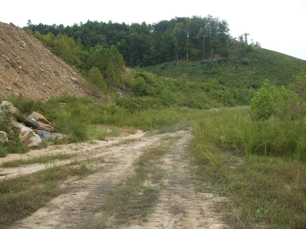
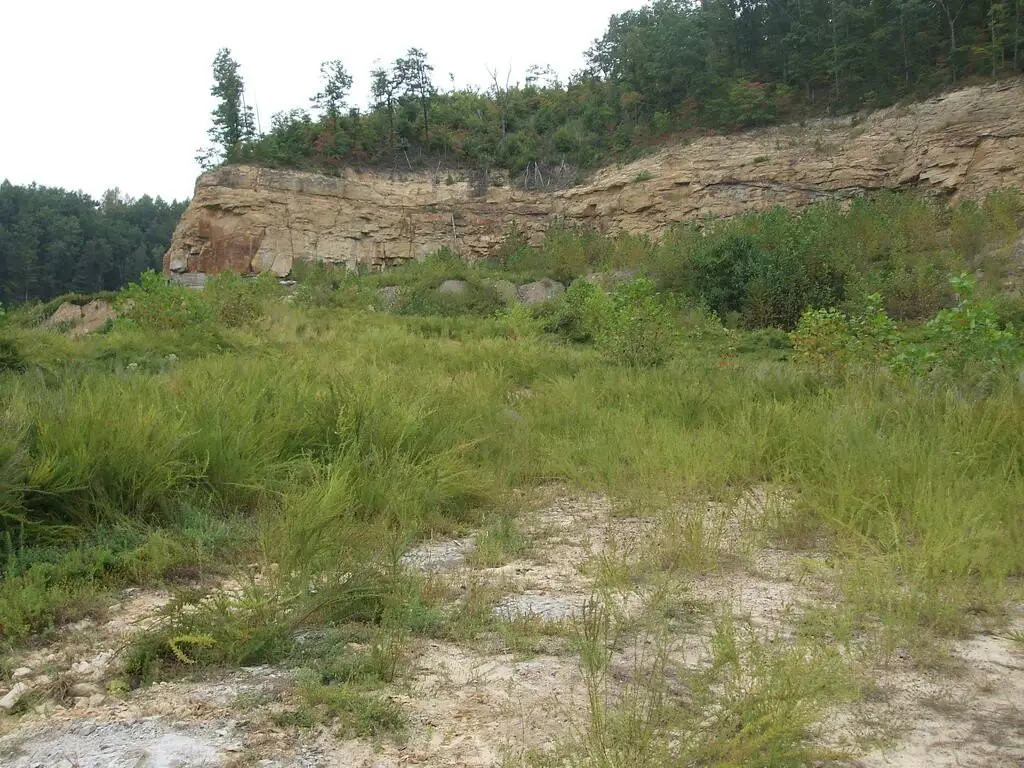
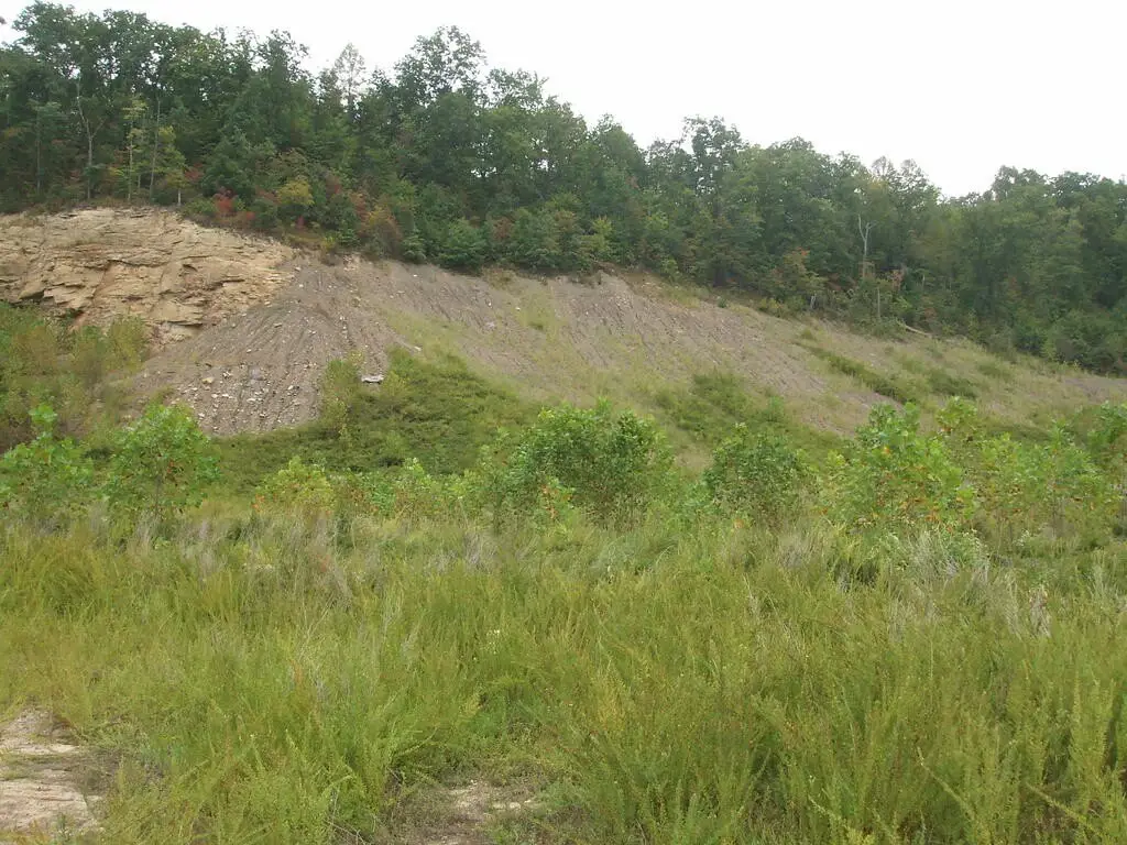
Undeveloped Land, Hillside Acreage Included
Elementary school
South Magoffin
Middle school
Herald Whitaker
High school
Magoffin County
Directions
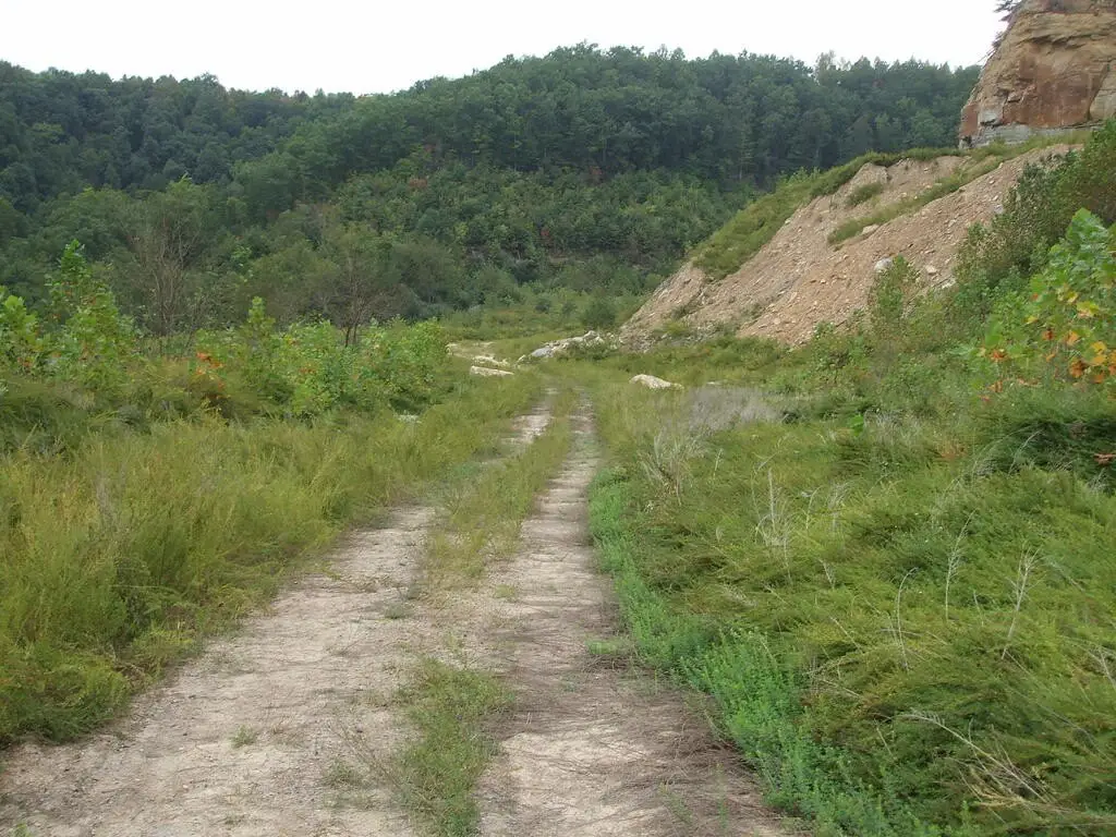
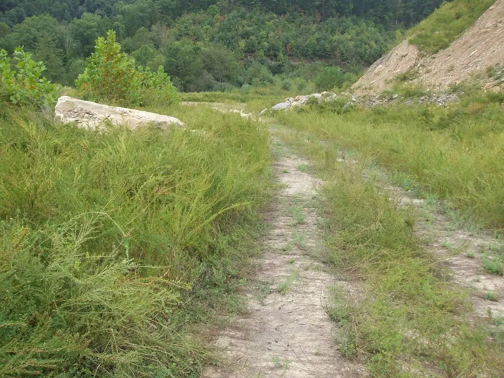
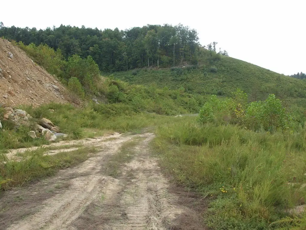
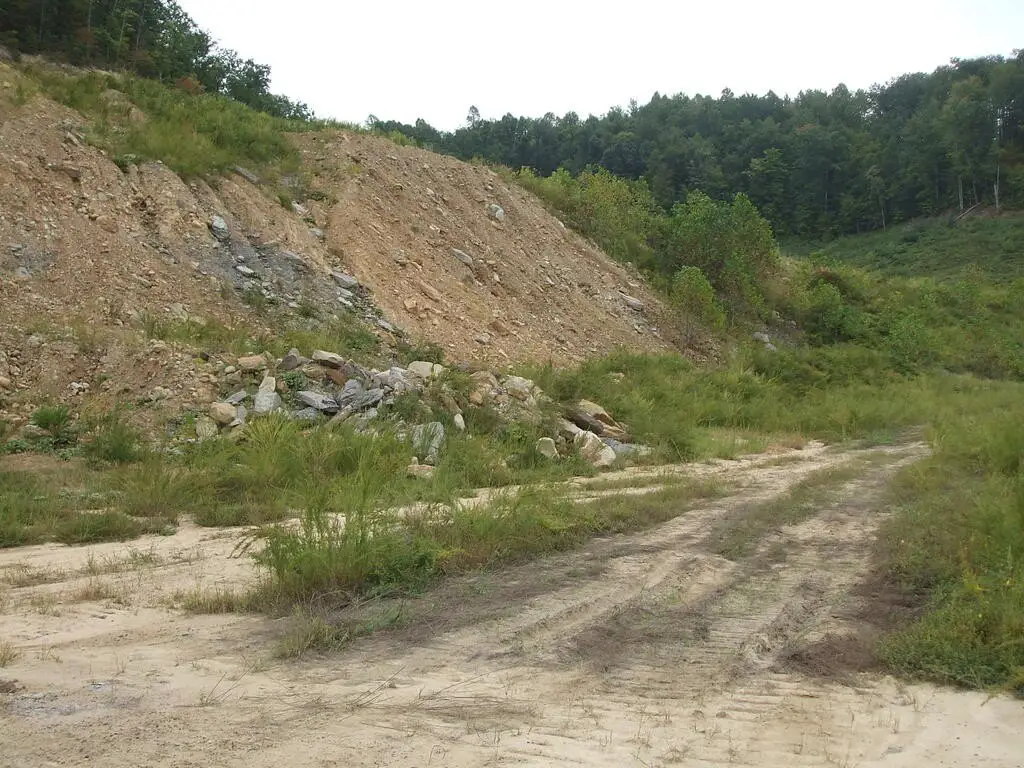
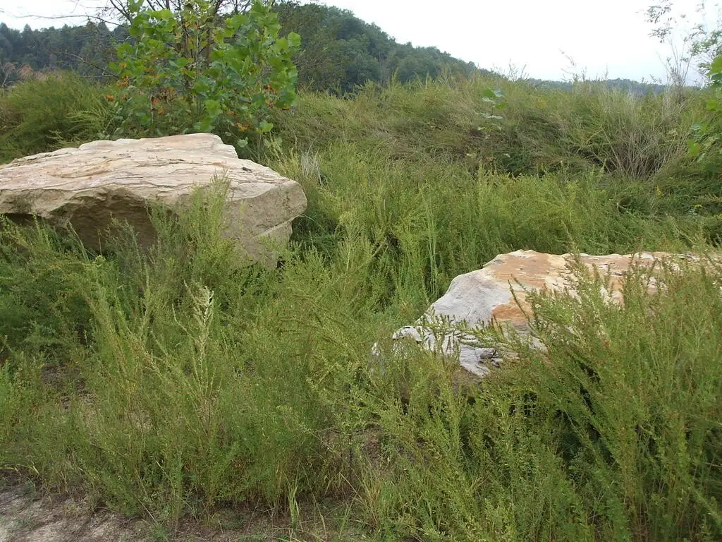
From the intersection of RT 460/114, travel RT 114 west for 2.9 miles to Exit 75. At bottom of ramp turn left. Travel RT 7 south for 14.6 miles. Turn right onto RT 542. Go 3.0 miles and turn left onto RT 1502 south. Travel 1/2 mile and turn left onto Jake Wireman Road. Go 1/2 mile and turn left up hill. Follow coal road 6/10 mile and turn left over hill. Travel 2/10 mile and take the road that goes right. When you come to two big piles of boulders, there is a crevice (ditch) just beyond the rocks. The property begins just beyond that ditch.
Subdivision
Magoffin
Standard status
Active
Lot size
45.20 Acres
Listing Agency:
First Choice Realty & Assoc.
(606) 788-9002
Listed By:
Doug Wireman
(606) 205-6630
Added: Sep 22
Changed: Sep 23
Last Checked: Sep 26 at 7:06AM
MLS# 129383
Copyright © 2026 Eastern Kentucky Association of Realtors. All rights reserved. All information provided by the listing agent/broker is deemed reliable but is not guaranteed and should be independently verified.
Investment Insights
Based on property information with market context.
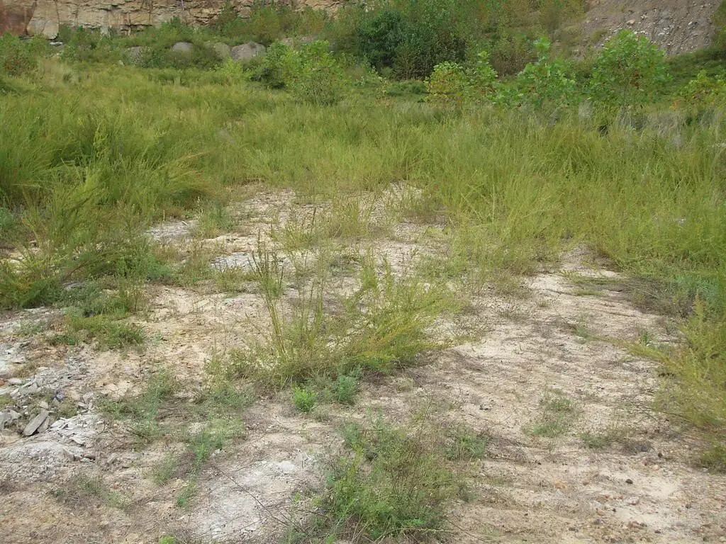
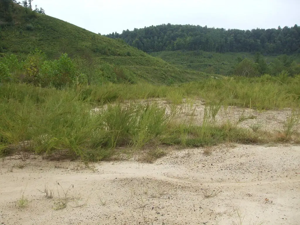
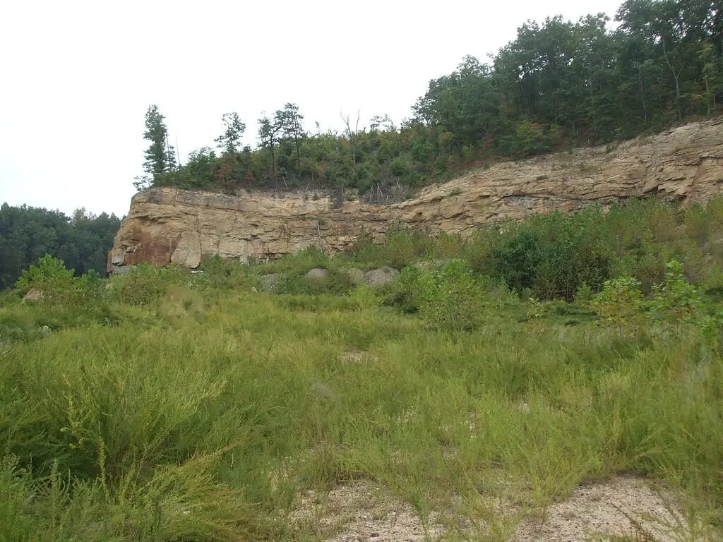
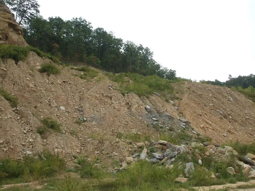
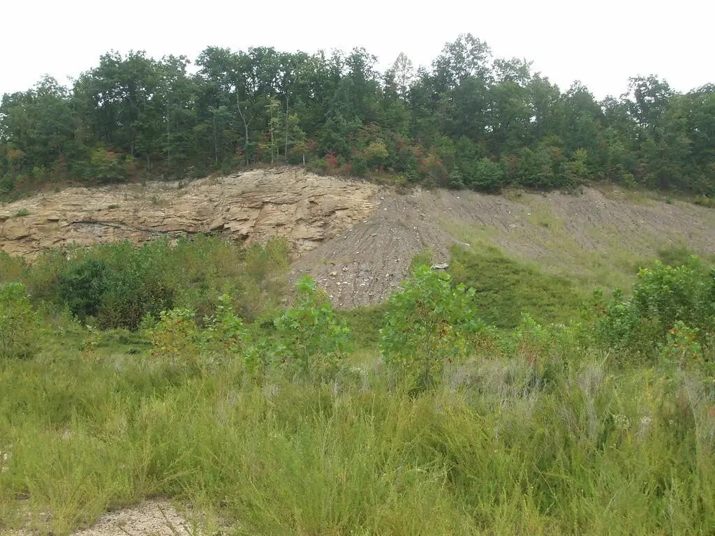
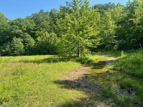
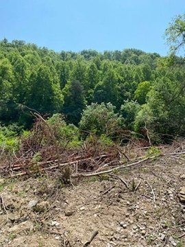
This 45.2-acre tract in Southern Magoffin County is undeveloped and includes forested land alongside areas previously strip mined for coal. The property conveys all mineral rights identified in the listing, including coal and gas.
Recreational activities noted for the tract include four-wheeling, hiking, hunting, and camping. Deer, turkey, rabbit, and squirrel are identified as available game. The property is approximately 1/2 mile from the nearest residence with water and electric. It is located at Trace Fork in Gunlock, Kentucky 41632, near coordinates 37.56415, -82.95750.
Recreational activities noted for the tract include four-wheeling, hiking, hunting, and camping. Deer, turkey, rabbit, and squirrel are identified as available game. The property is approximately 1/2 mile from the nearest residence with water and electric. It is located at Trace Fork in Gunlock, Kentucky 41632, near coordinates 37.56415, -82.95750.
Key Highlights
- 45.2 acres of undeveloped mining land
- All mineral rights convey, including coal and gas
- Forested areas remain on the property
Property Analytics
Unlock full access to Insights
Subscribe to Realmo Intelligence
Open Analytics
Current Use
Location Intelligence
Demographics for 41632, KY
400
Population
265
Households
1.5
Avg Household Size
49
Median Age
2%
College-Educated
68%
High-School Grad
32.7 sq mi
ZIP Area
12
Density / Sq Mi
$25,455
Median Household Income
$50,700
Median Home Value
Check the figures for this property
Cap Rate, Value Estimation, Potential NOI and more
View Realmo Analytics
Market
Vacancy Rate% for Industrial in South region

Questions? Ask Rey
Realmo’s AI knows this listing — price, zoning, demand, history. Ask anything.
Frequently Asked Questions
What type of property is this?
Mining land & claim - Undeveloped acreage with forested areas, recreational use potential, and coal and gas mineral rights.
Where is this mining land & claim located?
The property is located at Trace Fork DB 229 DP 267 Gunlock, KY.
What is the asking price?
The asking price for this property is $61,000.
What are key features of this property?
This property features: 45.2 acres of undeveloped mining land; All mineral rights convey, including coal and gas; Forested areas remain on the property