Tillable Farmland with Utility
22110 Highway S56, Eldora, IA 50627
For Sale
Contact for pricing
Land, Eldora, IA
Property SizeContact for details
Lot Size31.09 Acres
Days on Market20
Property Features for 22110 Highway S56
General Information
Property type
Property subtype
Directions
Standard status
APN
Lot size
Taxes and HOA fees
Tax Year
Tax Description
Tax Annual Amount
Legal Description
Building Details
Architectural style
Listing Agency:
Whitaker Marketing Group
Listed By:
David Whitaker · License IA B61078
(515) 460-8585
Added: Oct 23
Changed: Nov 4
Last Checked: Nov 11 at 10:06AM
MLS# 6344283
Copyright © 2026 NoCoast MLS. All rights reserved. All information provided by the listing agent/broker is deemed reliable but is not guaranteed and should be independently verified.

Ask AI about this property
Review the available facts, identify missing information and prepare questions for the agent.
Investment Insights
Based on property information with market context.
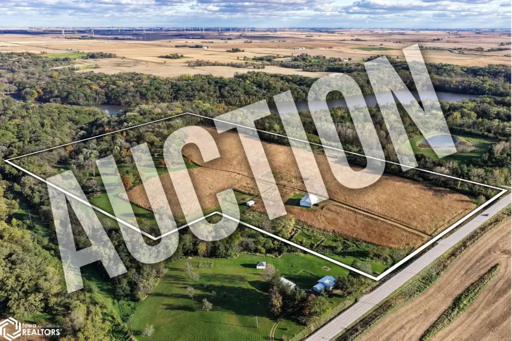
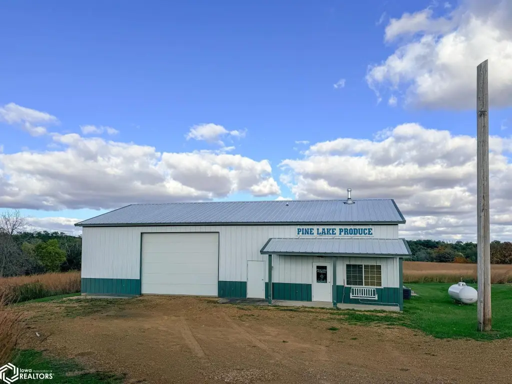
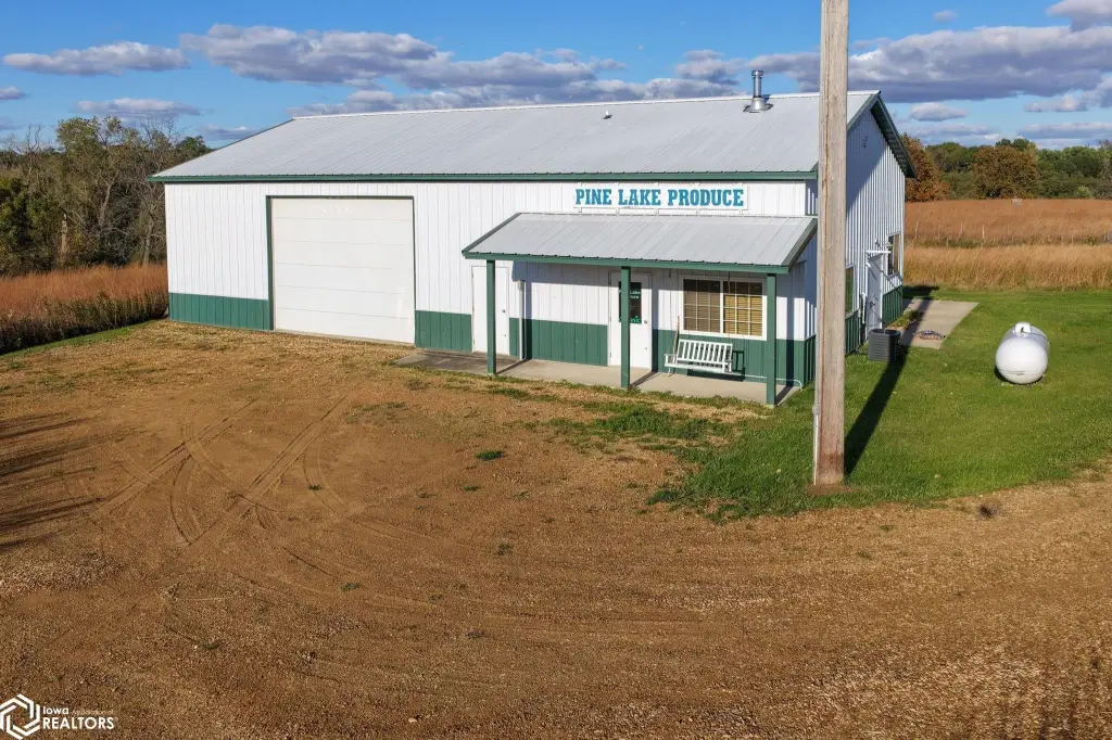
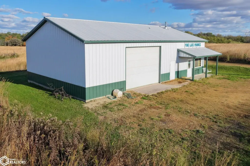
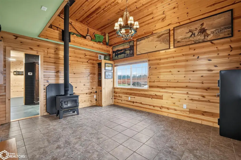
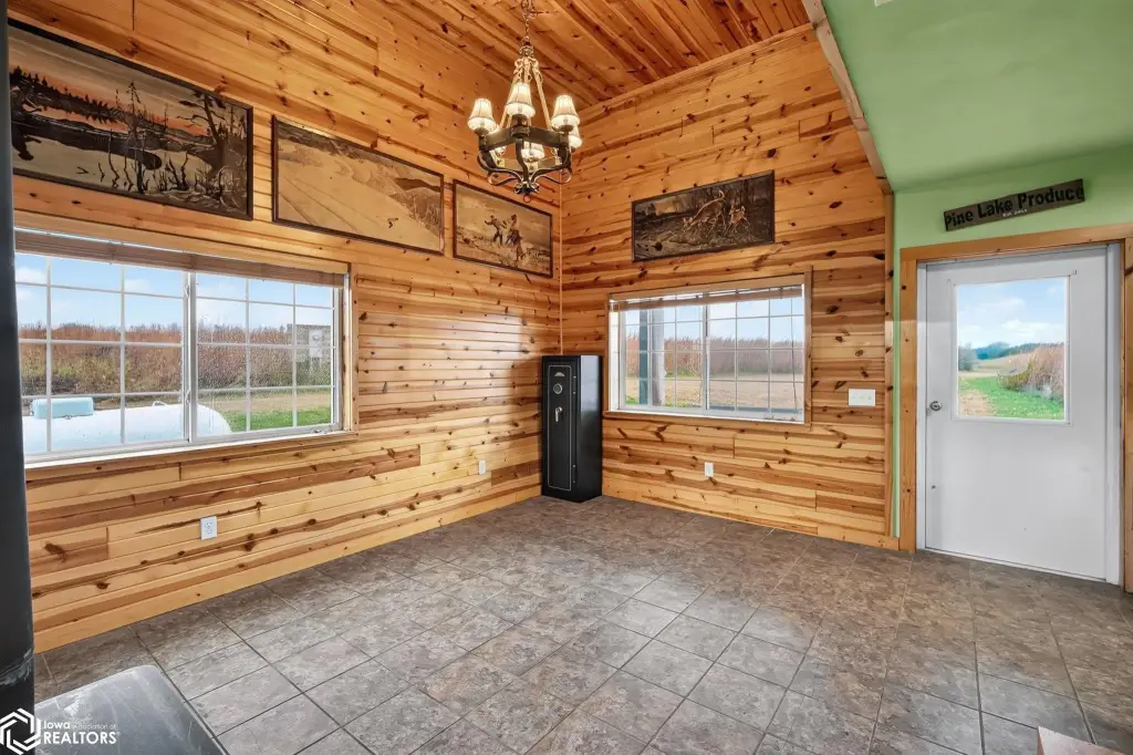
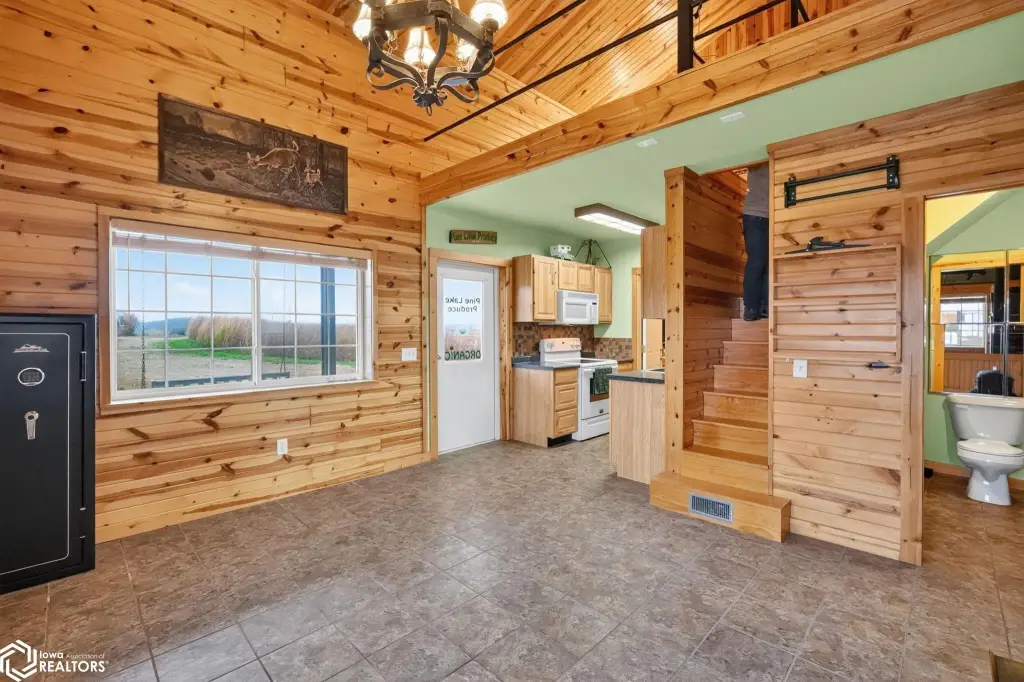
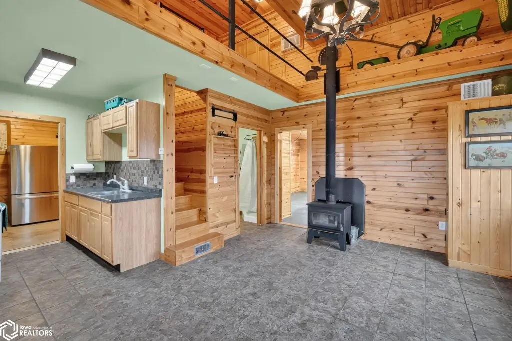
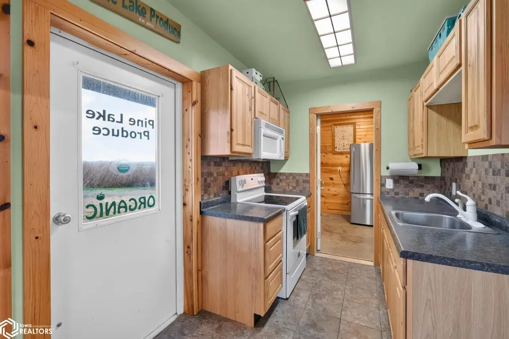
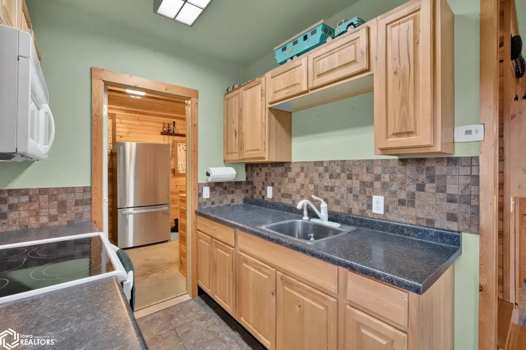
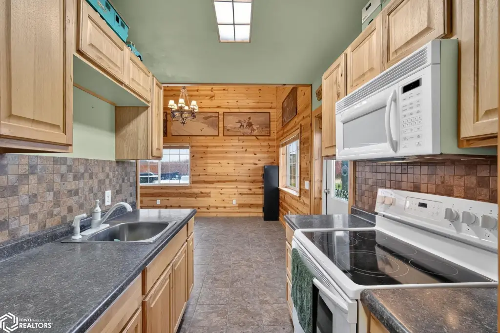
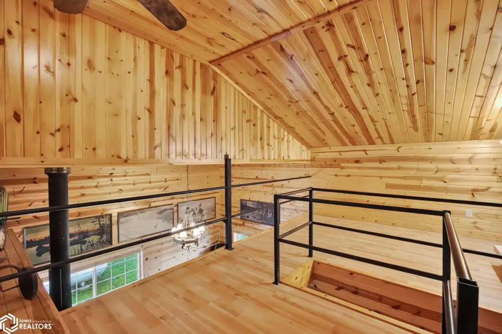
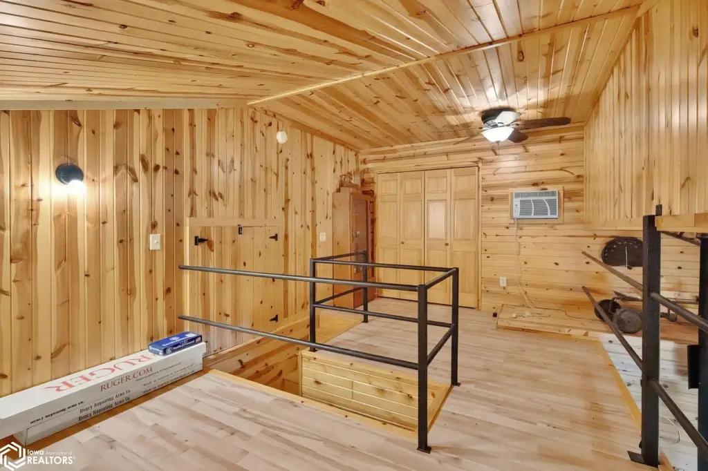
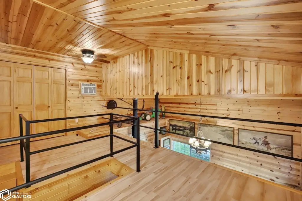
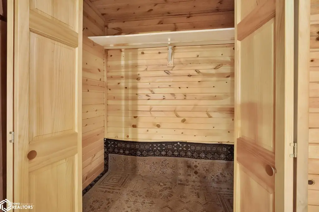
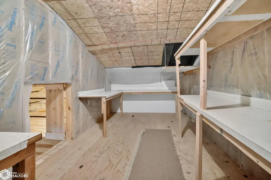
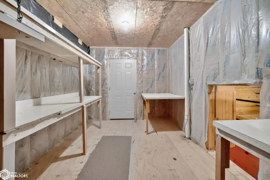
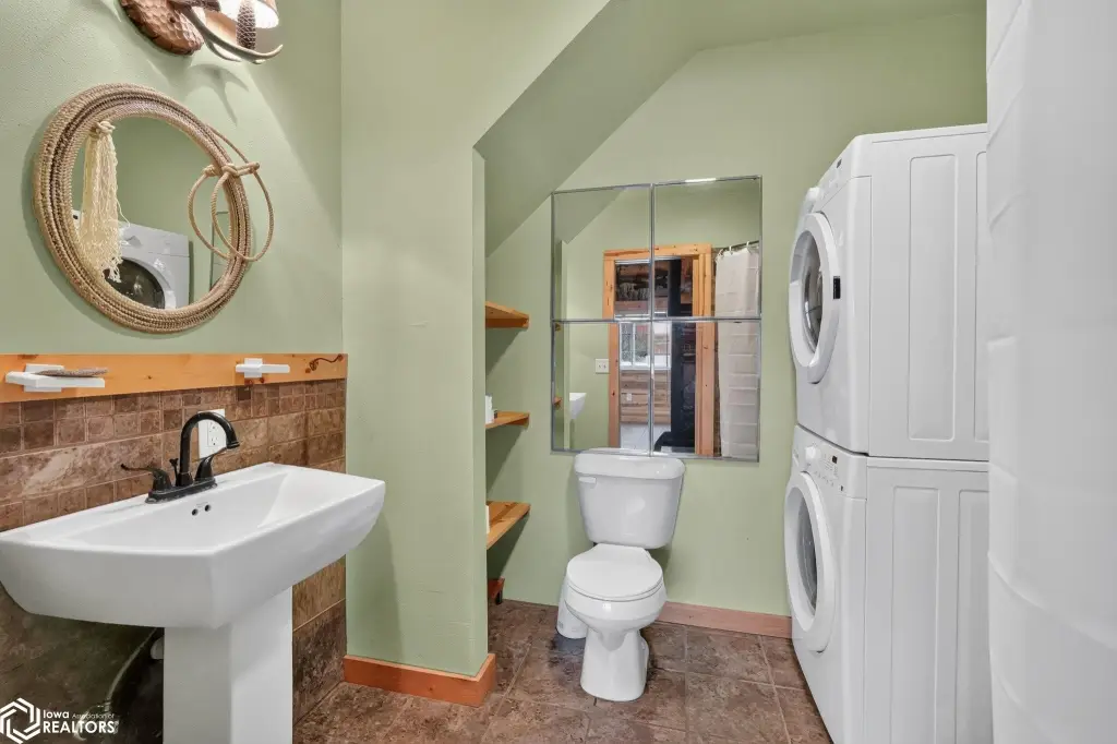
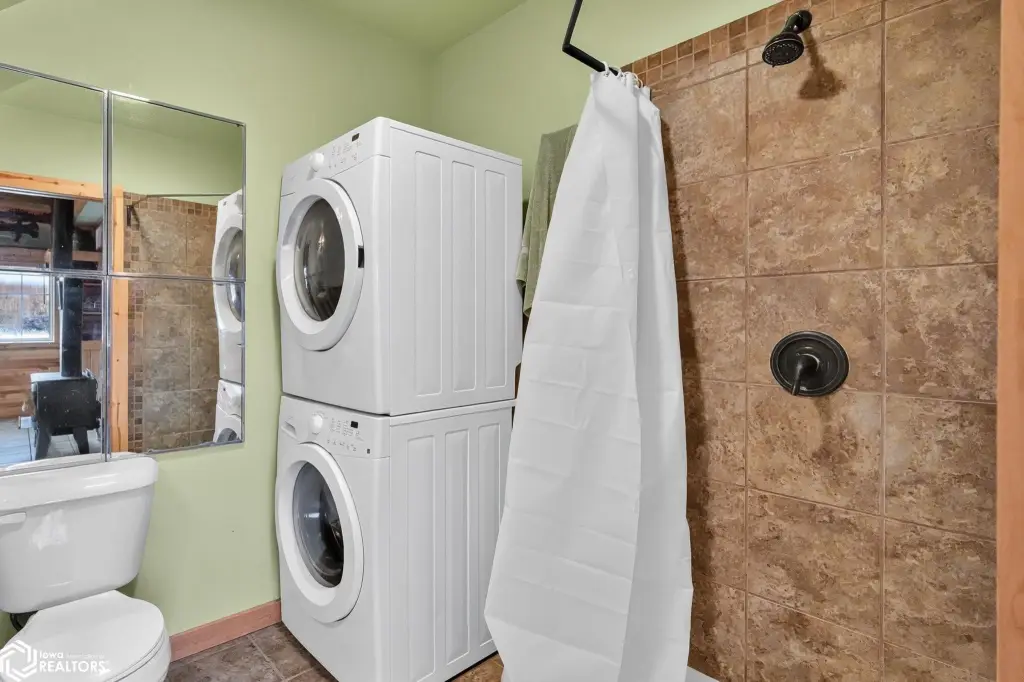
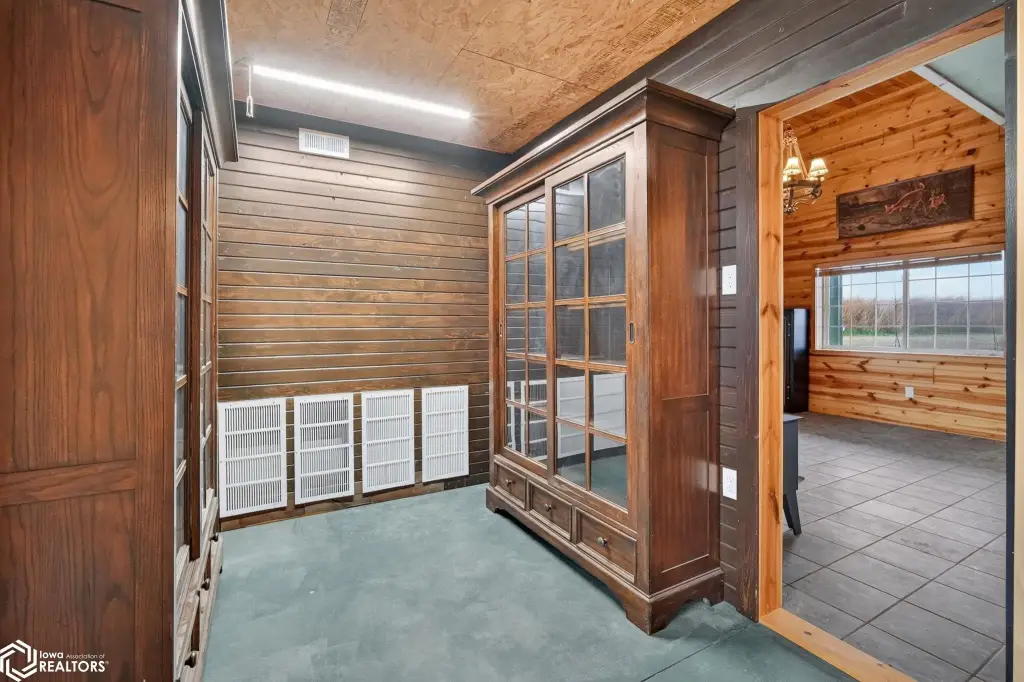
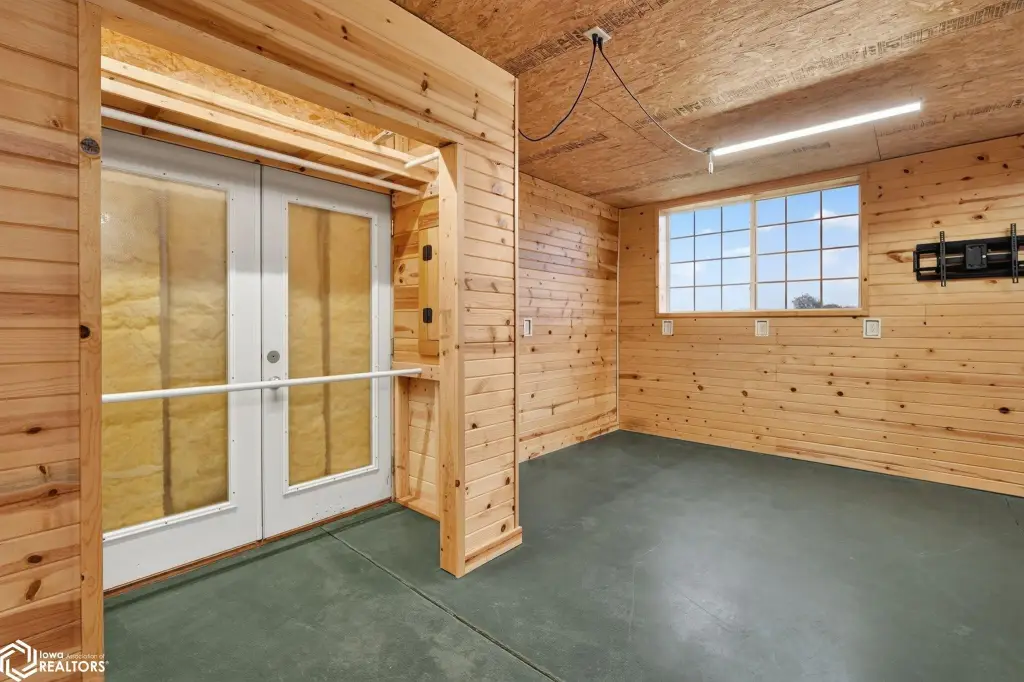
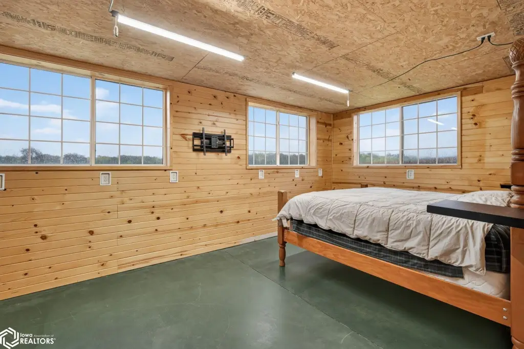
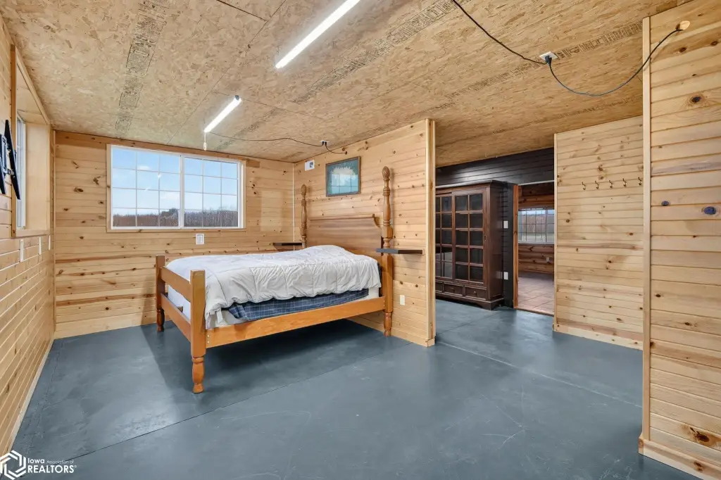
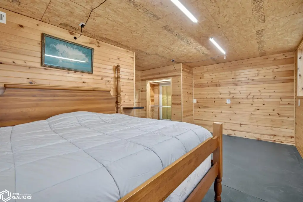
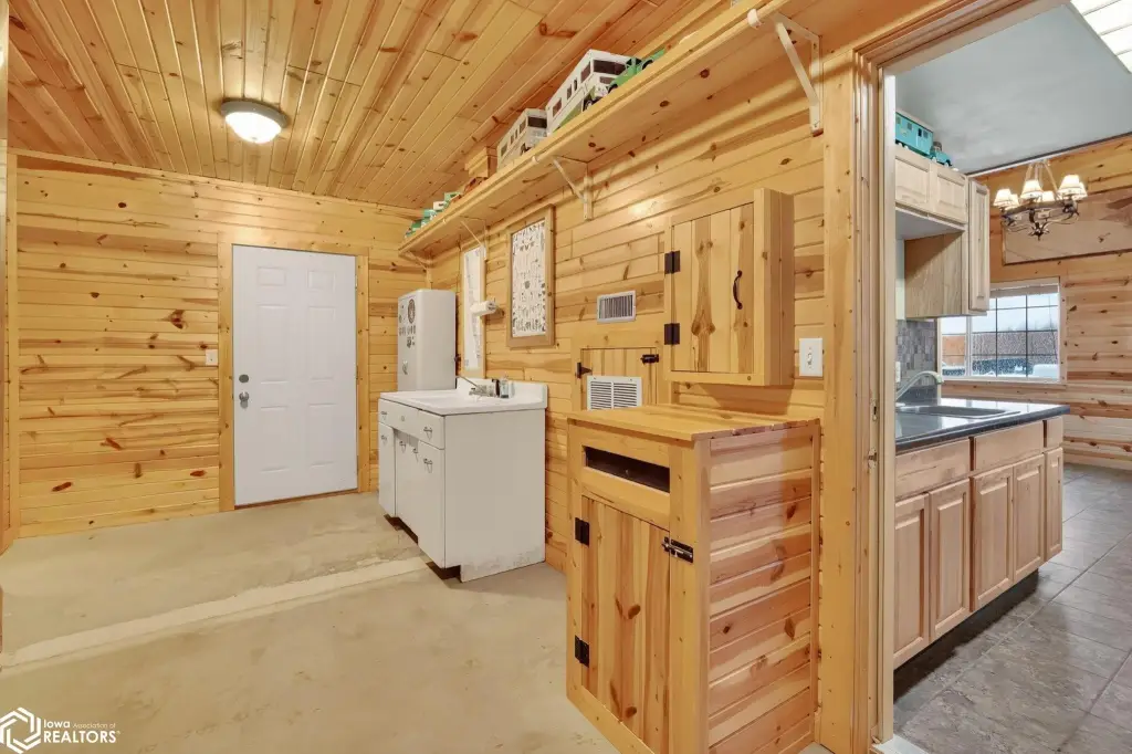
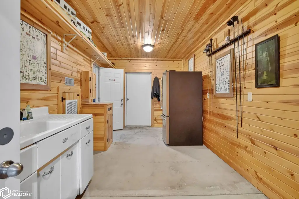
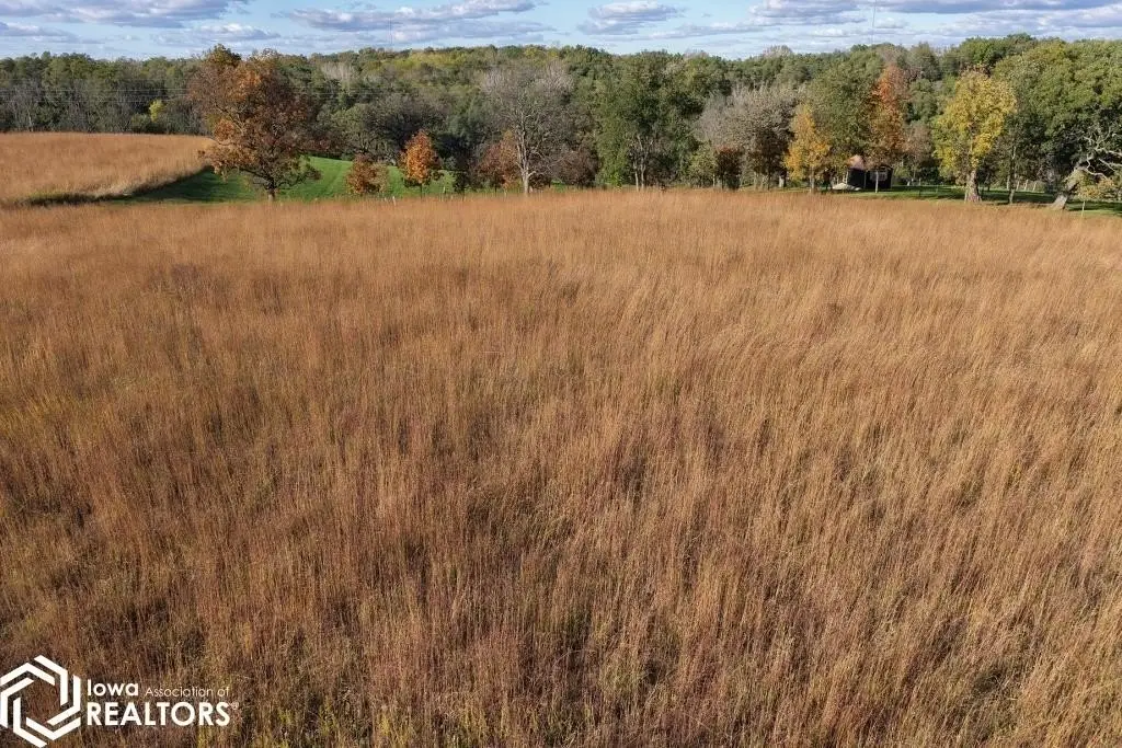
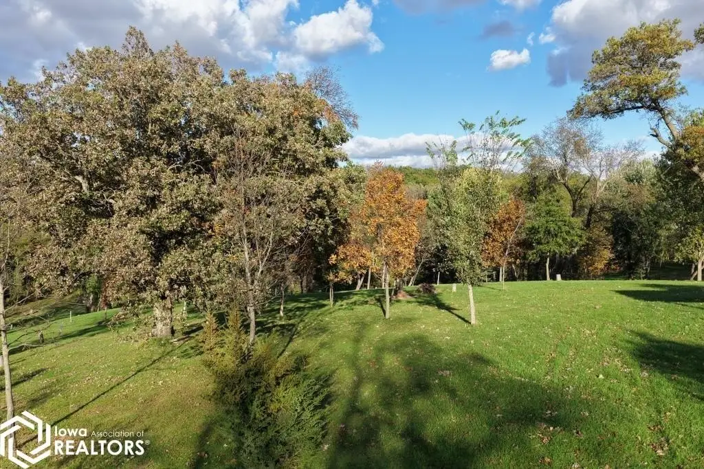
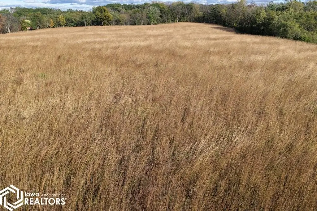
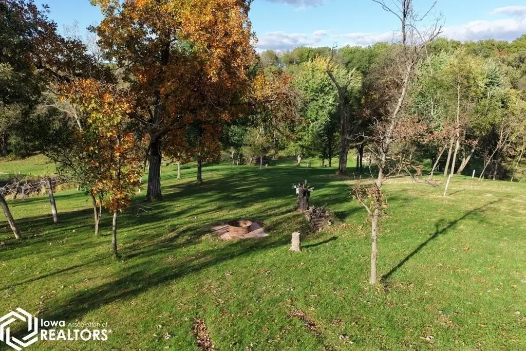
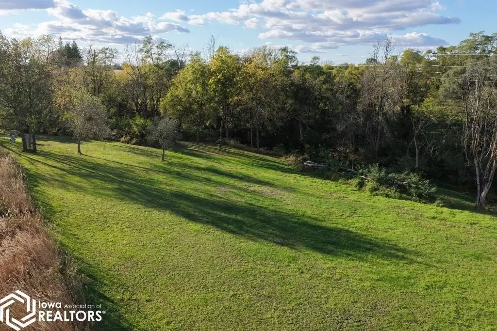
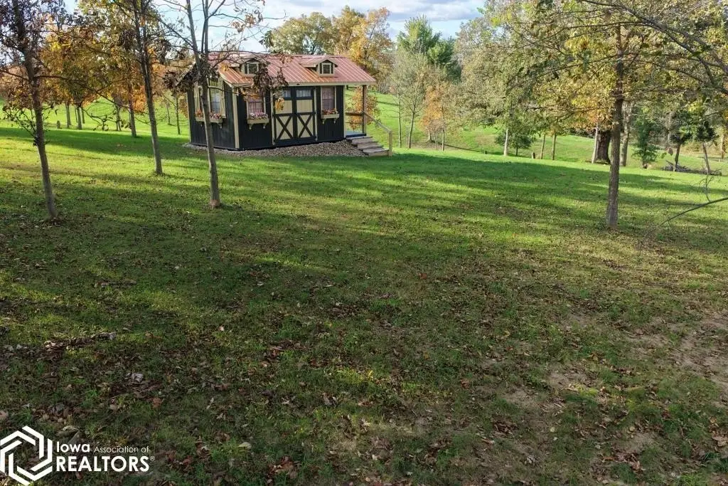
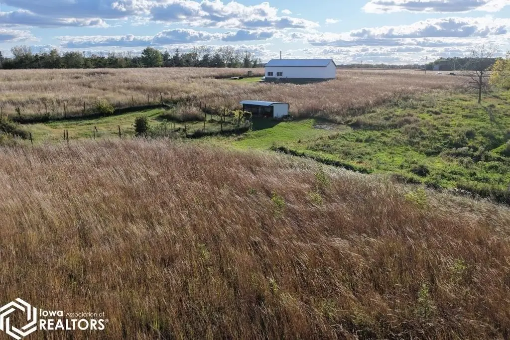
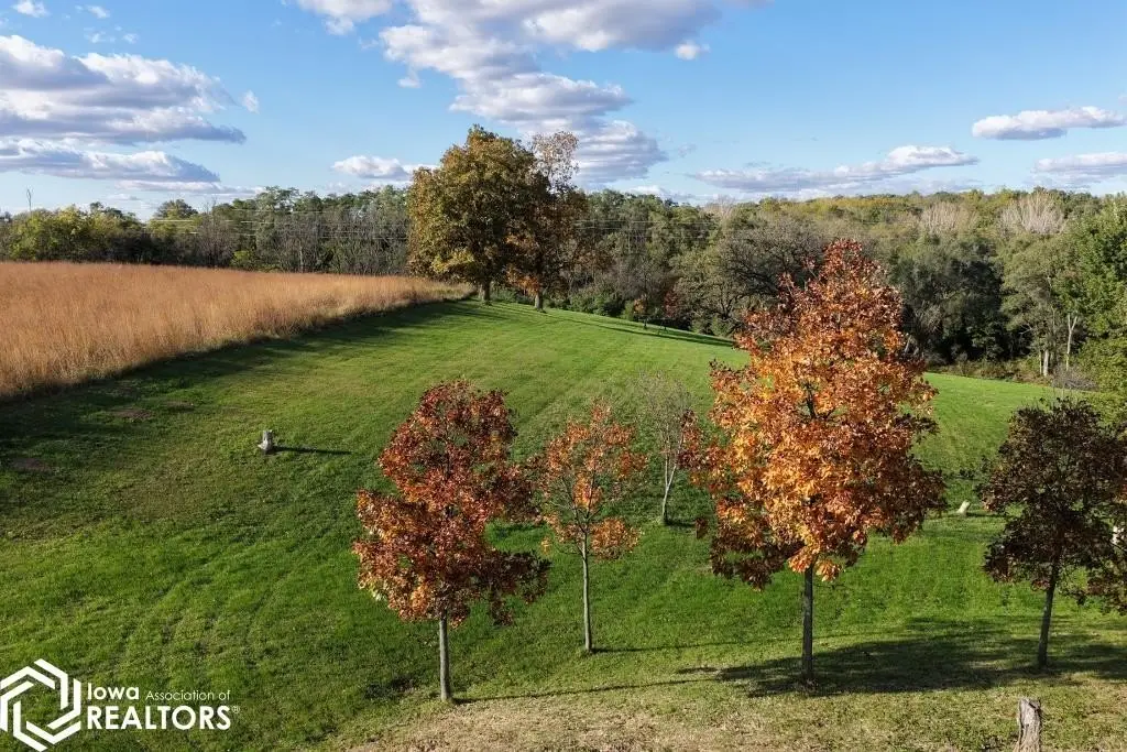
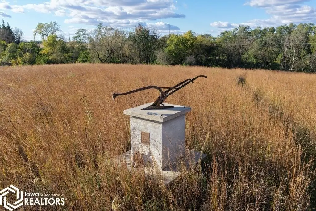
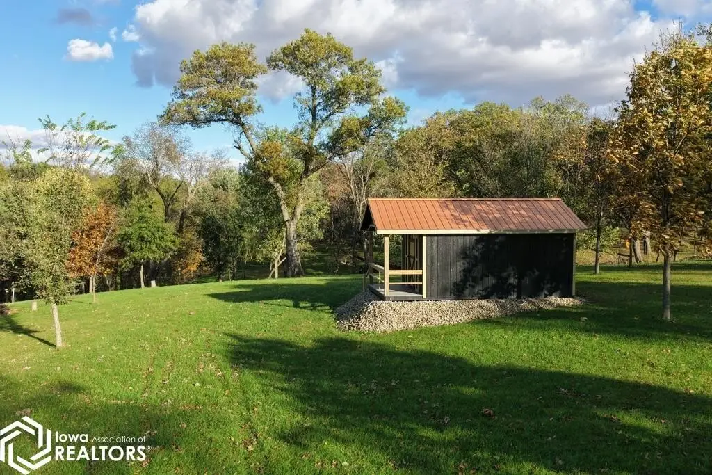
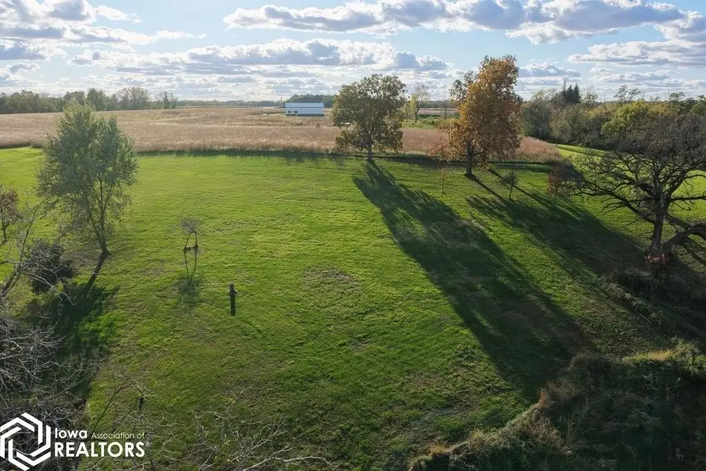
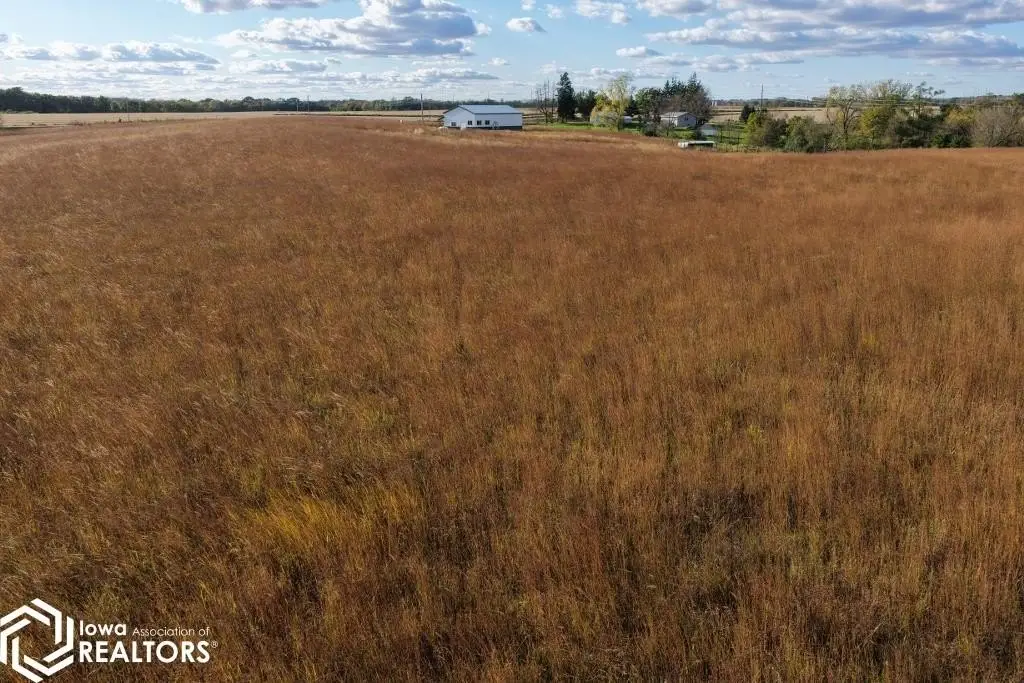
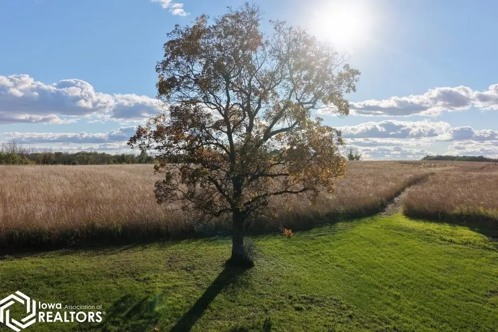
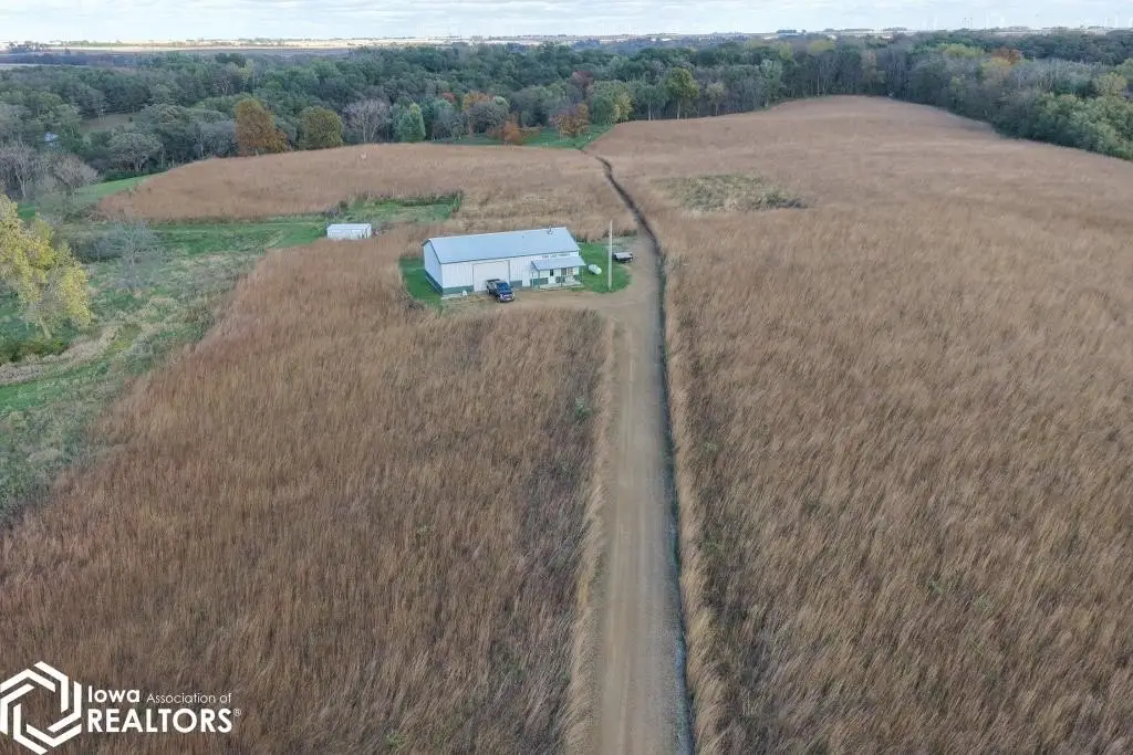
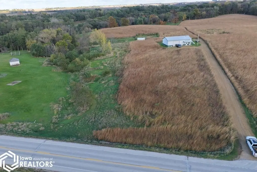
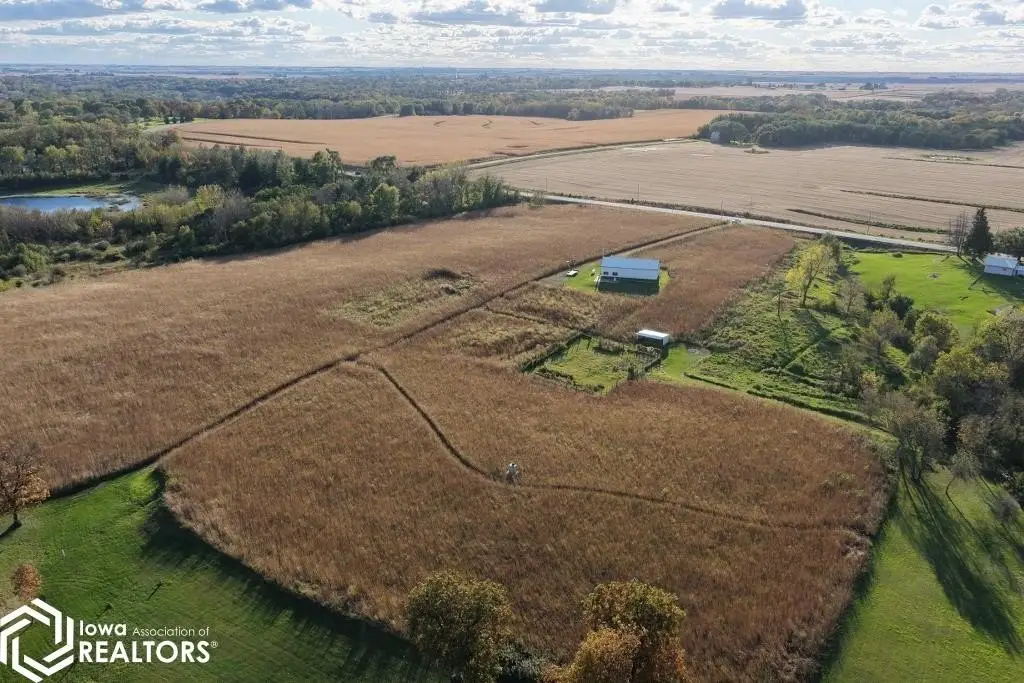
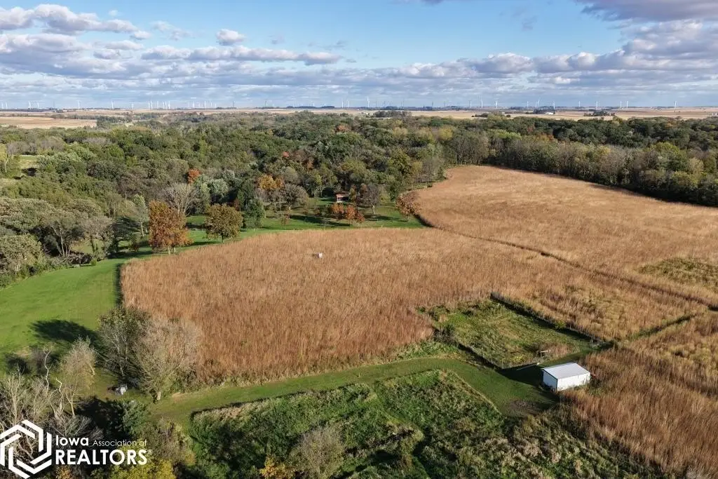
This 31.09-acre agricultural property includes 18.07 tillable acres with a CSR2 rating of 83.4 for the tillable ground. Improvements consist of a 36-by-60-foot steel utility building constructed in 2012 and an 8-by-16-foot cabin built in 2023.
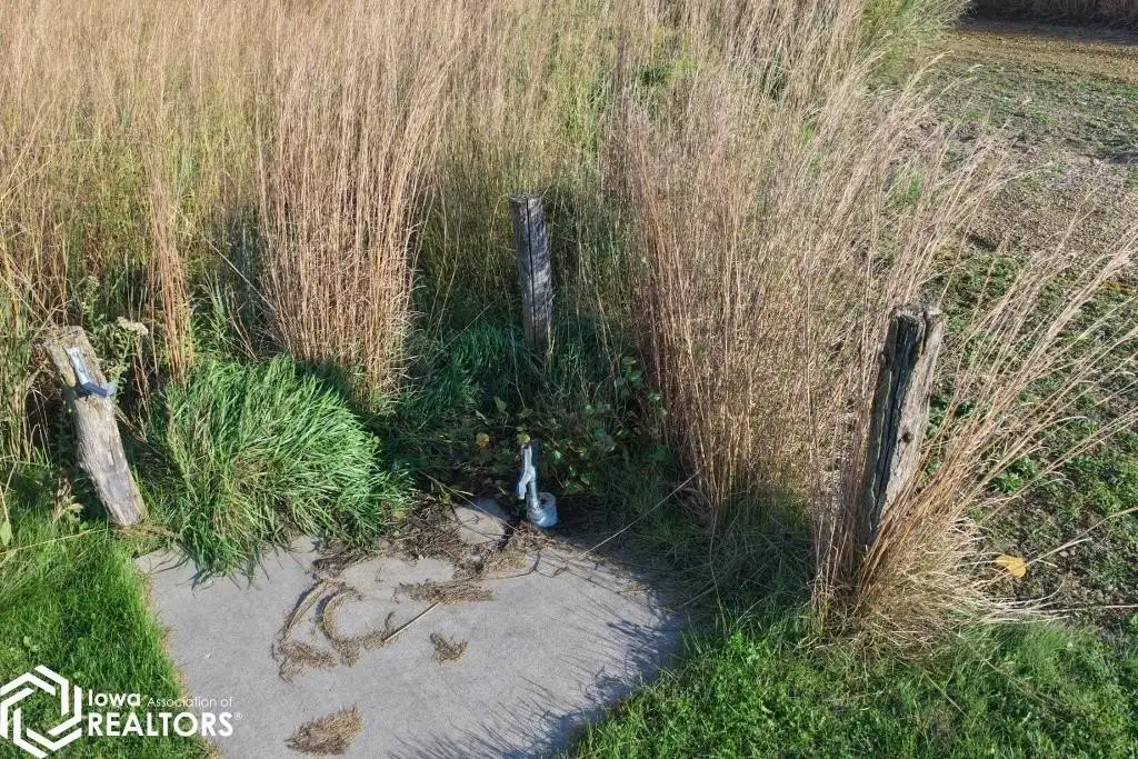
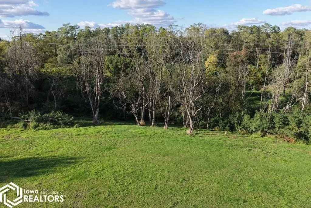
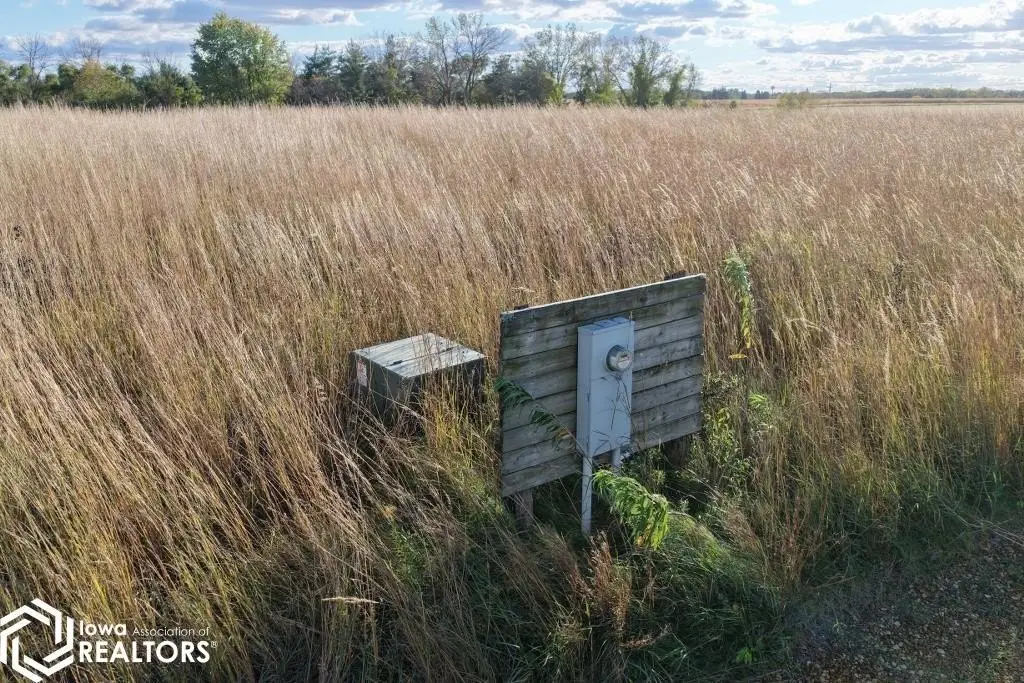
The property is on County Highway S56, 2 miles northeast of Eldora, and lies beside Upper Pine Lake State Park. Electric service is provided by Alliant Energy, water by Iowa Regional Utility, and LP gas by IAS. The estimated zoning is agricultural.
The property is on County Highway S56, 2 miles northeast of Eldora, and lies beside Upper Pine Lake State Park. Electric service is provided by Alliant Energy, water by Iowa Regional Utility, and LP gas by IAS. The estimated zoning is agricultural.
Key Highlights
- 31.09 gross acres, including 18.07 tillable acres
- Tillable land carries a CSR2 rating of 83.4
- 36‑by‑60‑foot steel utility building built in 2012
Property Analytics
Who owns this building?
See the owner, sales and loan history
Open Analytics
Location Intelligence
Trade Area within ½ mile
8
Businesses Nearby
Explore this area
Business Placement
Demographics for 50627, IA
3,367
Population
1,598
Households
2.1
Avg Household Size
44
Median Age
19%
College-Educated
91%
High-School Grad
105.5 sq mi
ZIP Area
32
Density / Sq Mi
$71,357
Median Household Income
$41,635
Median Earnings
$730
Median Rent
$122,400
Median Home Value
Check the figures for this property
Cap Rate, Value Estimation, Potential NOI and more
View Realmo Analytics


Frequently Asked Questions
What type of property is this?
Agricultural land / Farmland - Agricultural acreage includes tillable ground, a steel utility building, a cabin, and electric service.
Where is this agricultural land / farmland located?
The property is located at 22110 Highway S56 Eldora, IA.
What are key features of this property?
This property features: 31.09 gross acres, including 18.07 tillable acres; Tillable land carries a CSR2 rating of 83.4; 36‑by‑60‑foot steel utility building built in 2012