Agricultural Land with Building
TDB 220th ST, Ashton, IA 51232
For Sale
Contact for pricing
Land, Ashton, IA
Property SizeContact for details
Lot Size80.00 Acres
Days on Market9
Property Features for TDB 220th ST
General Information
Property type
Property subtype
Directions
Standard status
Lot size
Taxes and HOA fees
Tax Annual Amount
Listing Agency:
Zomer Company
Listed By:
Mark Zomer
(712) 476-9443
Added: Nov 2
Changed: Nov 3
Last Checked: Nov 10 at 6:06PM
MLS# 12052565
Copyright © 2026 My State MLS. All rights reserved. All information provided by the listing agent/broker is deemed reliable but is not guaranteed and should be independently verified.

Ask AI about this property
Review the available facts, identify missing information and prepare questions for the agent.
Investment Insights
Based on property information with market context.
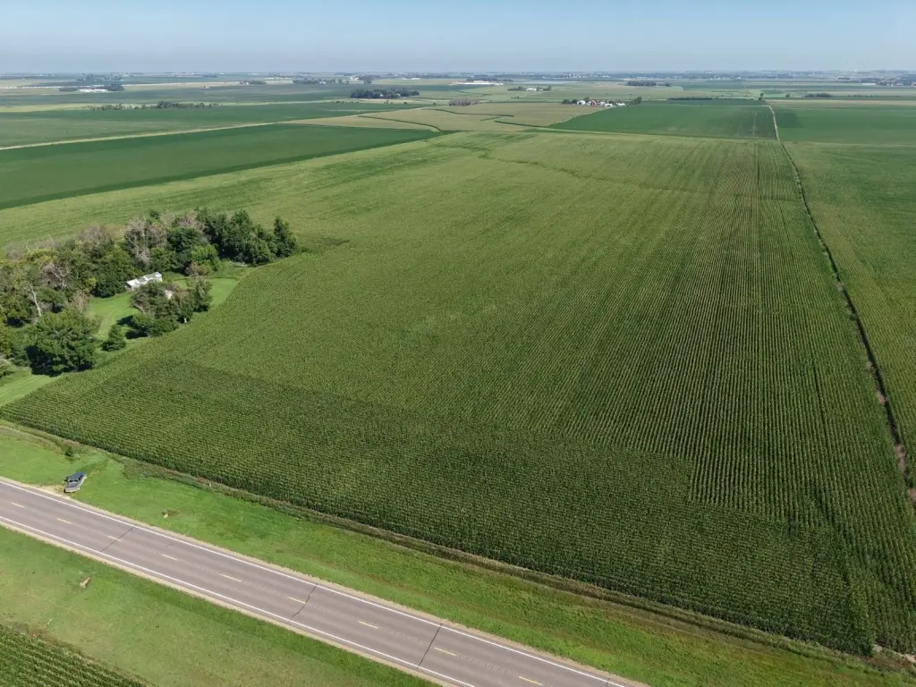
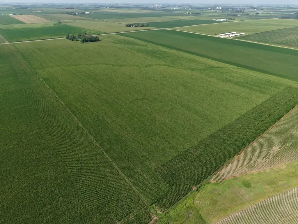
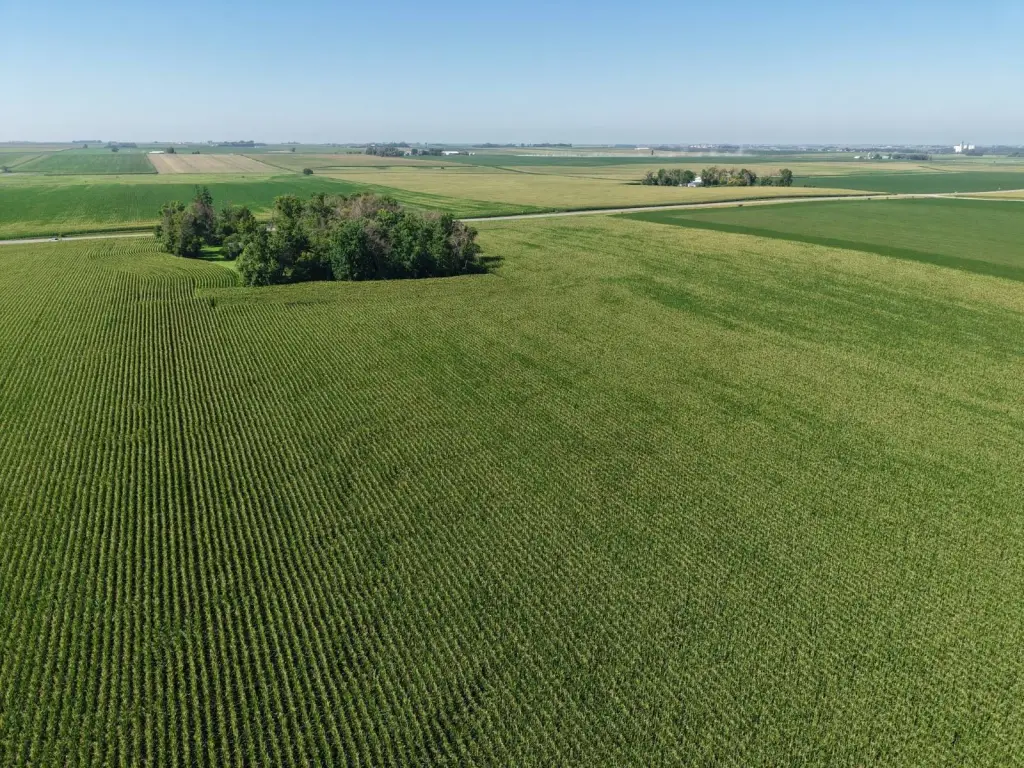
This Osceola County farm comprises approximately 80 gross acres, including about 76.13 tillable acres and a 2.84-acre former building site with older structures and an established grove. The land is classified NHEL, and its average CSR2 is 95.5; average CSR1 is 78.4. Predominant soil types include Sac, Primghar, Marcus, and Spicer. FSA records show a 31.98-acre soybean base with a PLC yield of 49 and a 44.08-acre corn base with a PLC yield of 160 bushels.
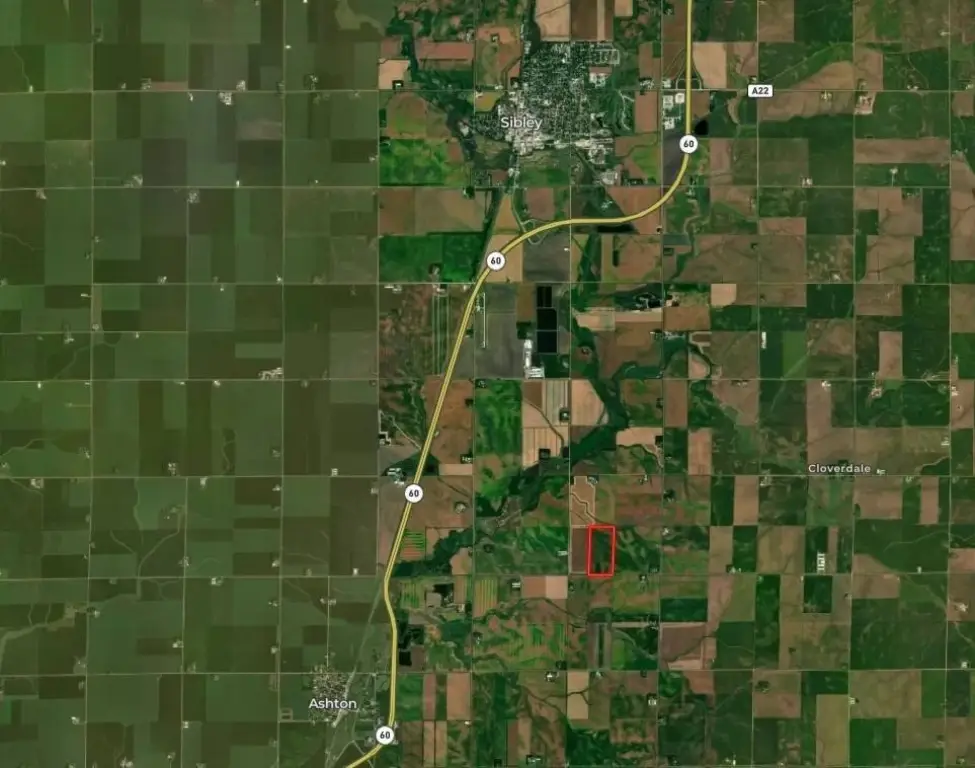
The property is in western Osceola County, south of Sibley and northeast of Ashton, with Highway 60 a short distance away. The legal description places the tract in the east half of the southwest quarter of Section 6, Township 98N, Range 41W; the property is to be surveyed. The sale is subject to recorded easements and public road rights-of-way.
The property is in western Osceola County, south of Sibley and northeast of Ashton, with Highway 60 a short distance away. The legal description places the tract in the east half of the southwest quarter of Section 6, Township 98N, Range 41W; the property is to be surveyed. The sale is subject to recorded easements and public road rights-of-way.
Key Highlights
- Approximately 80+/- gross acres in Osceola County
- Approximately 76.13+/- tillable acres; 2.84+/- acres in the building site
- Average CSR2 of 95.5 and average CSR1 of 78.4
Location Intelligence
Trade Area within ½ mile
Explore this area
Business Placement
Demographics for 51232, IA
781
Population
334
Households
2.3
Avg Household Size
43
Median Age
12%
College-Educated
89%
High-School Grad
61.0 sq mi
ZIP Area
13
Density / Sq Mi
$79,250
Median Household Income
$40,833
Median Earnings
$1,075
Median Rent
$97,700
Median Home Value
Frequently Asked Questions
What type of property is this?
Agricultural land / Farmland - The tract combines predominantly tillable ground with a grove and older buildings.
Where is this agricultural land / farmland located?
The property is located at TDB 220th ST Ashton, IA.
What are key features of this property?
This property features: Approximately 80+/- gross acres in Osceola County; Approximately 76.13+/- tillable acres; 2.84+/- acres in the building site; Average CSR2 of 95.5 and average CSR1 of 78.4