Commercial Land with
For Sale
$205,000
V/L 220th Avenue, Big Rapids, MI 49307
Land, Big Rapids, MI
Property SizeContact for details
Lot Size22.73 Acres
Days on Market140
Property Features for V/L 220th Avenue
General Information
Property type
Land
Property subtype
Other
Elementary school district
Big Rapids
Middle school district
Big Rapids
High school district
Big Rapids
Standard status
Active
APN
5401-032-001-200
Lot size
22.73 Acres
Taxes and HOA fees
Tax Year
2025
Tax Description
SEC 32 T16N R10W COM AT NE COR NE 1/4 TH S 1 DEG 24 M W ALG E SEC LINE 433 FT TO POB TH CONT S 1 DEG24 M W 614.13 FT TH N 88 DEG 47 M W 433 FT TH S 1 DEG 24 M W 303.43 FT TH N 88 DEG 45 M W 887.31 FT TH N 1 DEG 17 M E 27.20 FT TH N 1 DEG 46 M E 413.7 0 FT TO SELY R/W HWY US 131 TH N 50 DEG 12 M E 302.41 FT TH N 25 DEG 34 M E 356.38 FT TH N 0 DEG 57 M E 186.23 FT TH N 46 DEG 35 M E 88.38 FT TH S 1
Tax Annual Amount
3062
Legal Description
SEC 32 T16N R10W COM AT NE COR NE 1/4 TH S 1 DEG 24 M W ALG E SEC LINE 433 FT TO POB TH CONT S 1 DEG24 M W 614.13 FT TH N 88 DEG 47 M W 433 FT TH S 1 DEG 24 M W 303.43 FT TH N 88 DEG 45 M W 887.31 FT TH N 1 DEG 17 M E 27.20 FT TH N 1 DEG 46 M E 413.7 0 FT TO SELY R/W HWY US 131 TH N 50 DEG 12 M E 302.41 FT TH N 25 DEG 34 M E 356.38 FT TH N 0 DEG 57 M E 186.23 FT TH N 46 DEG 35 M E 88.38 FT TH S 1
Utilities
Water front features
Creek
Water front
1
Listing Agency:
RE/MAX TOGETHER
(231) 629-4100
Listed By:
Joseph McNally · License #6502393305
(616) 307-3026
Added: May 29
Changed: Aug 29
Last Checked: Oct 15 at 4:06AM
MLS# 26025834
Copyright © 2026 Michigan Regional Information Center, LLC. All rights reserved. All information provided by the listing agent/broker is deemed reliable but is not guaranteed and should be independently verified.
Investment Insights
Based on property information with market context.
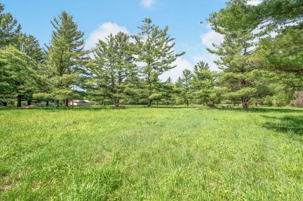
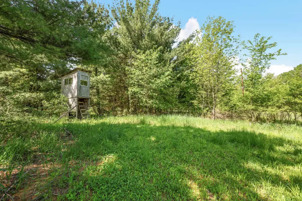
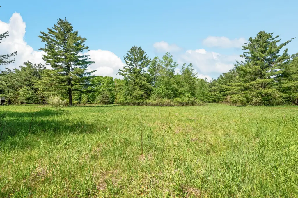
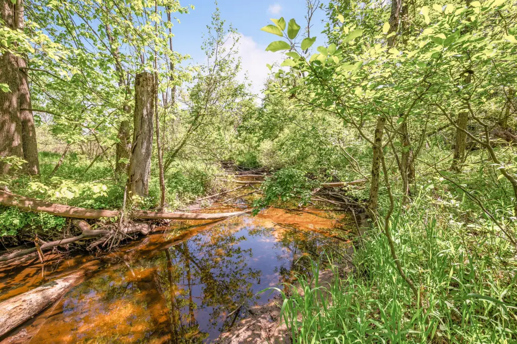
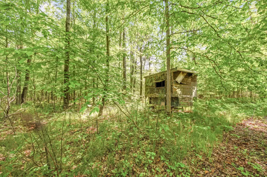
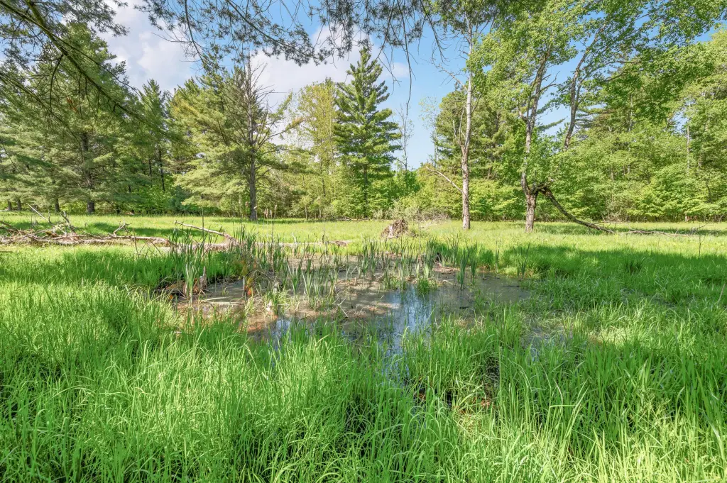
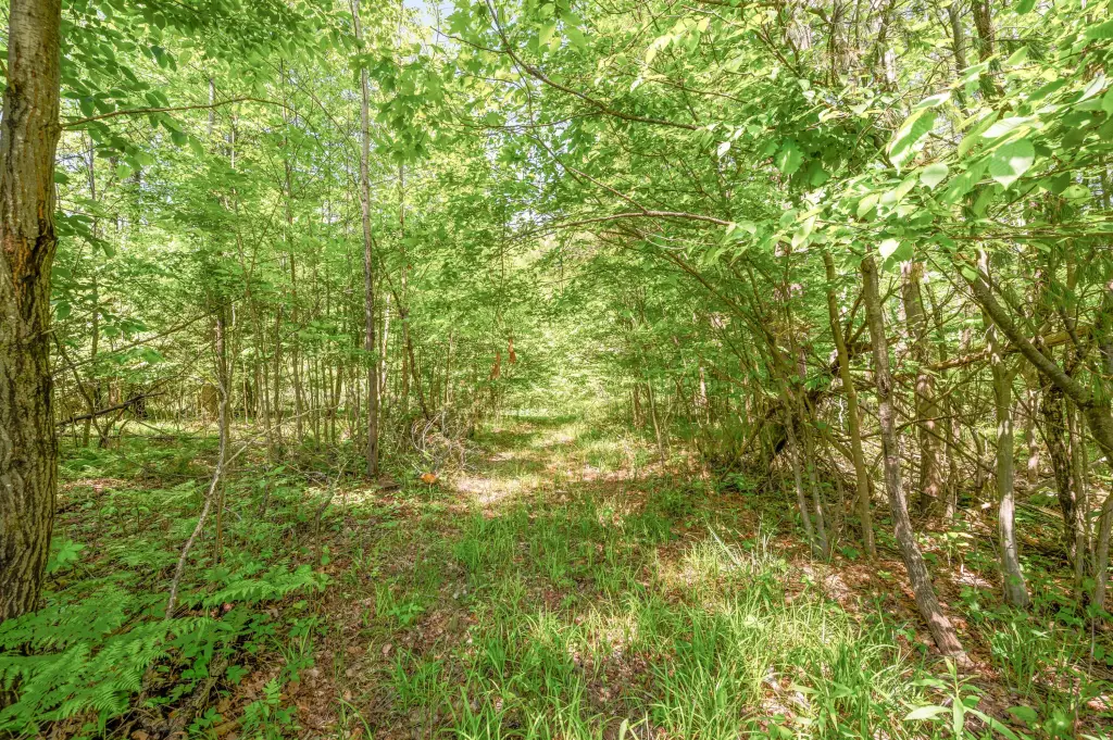
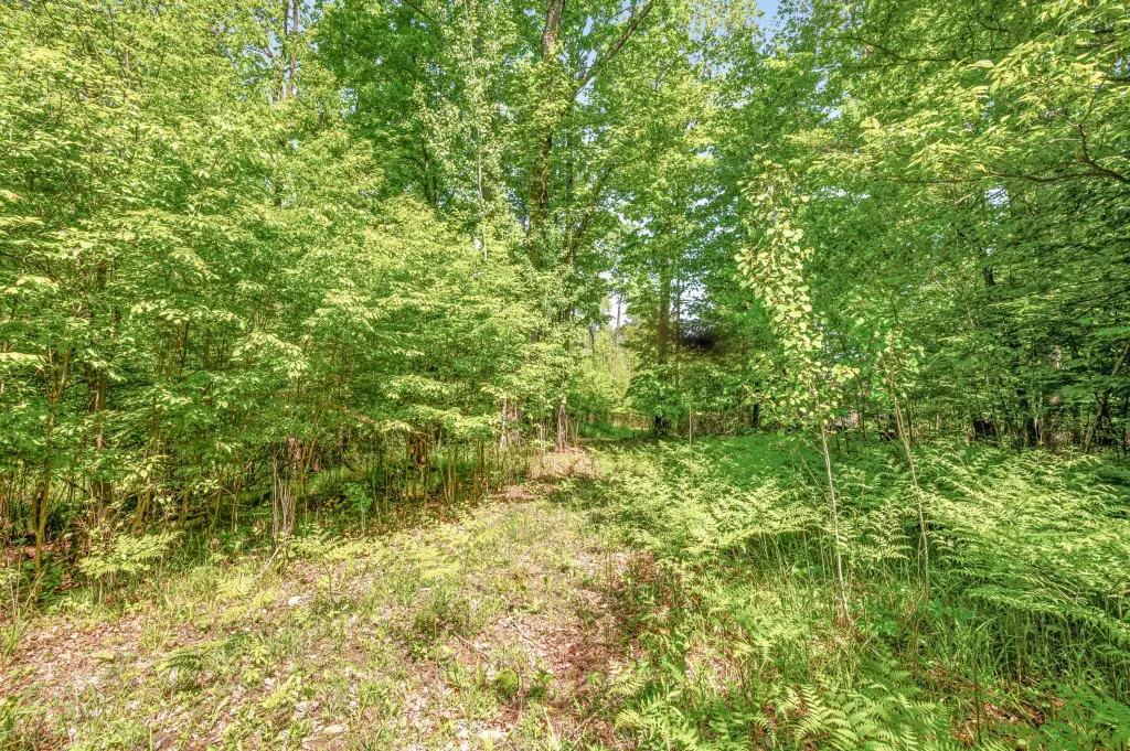
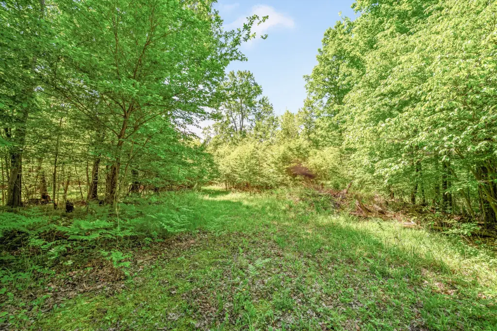
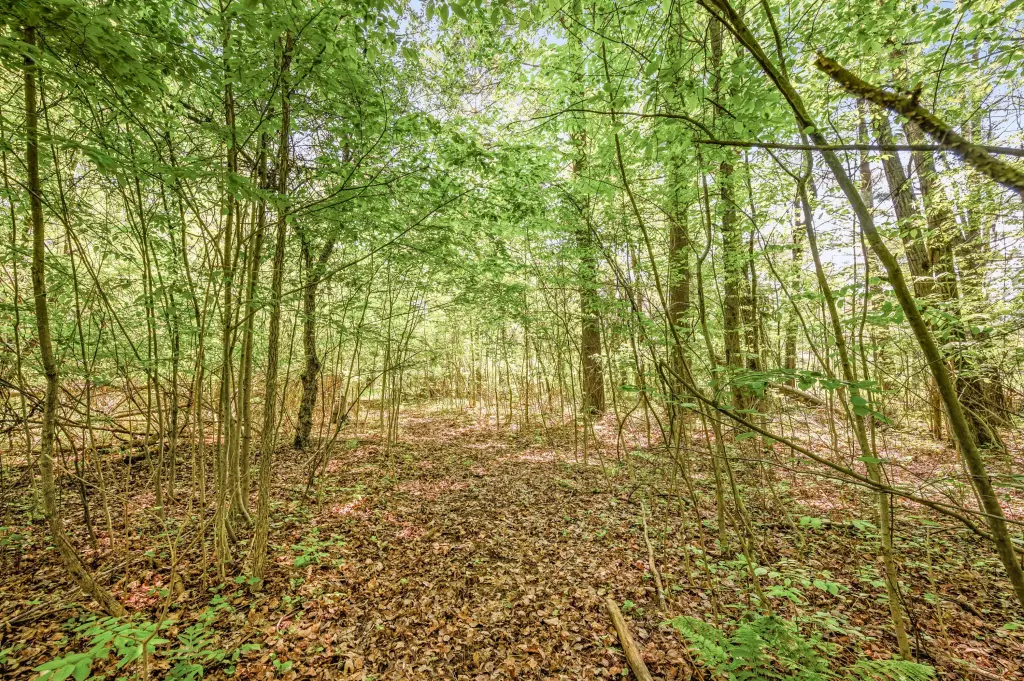
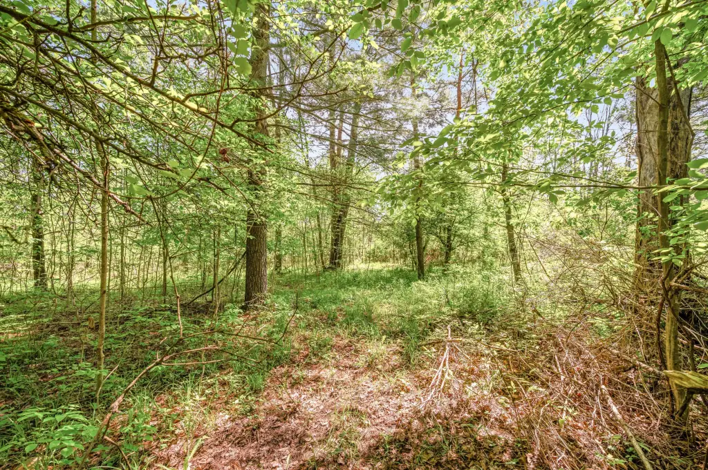
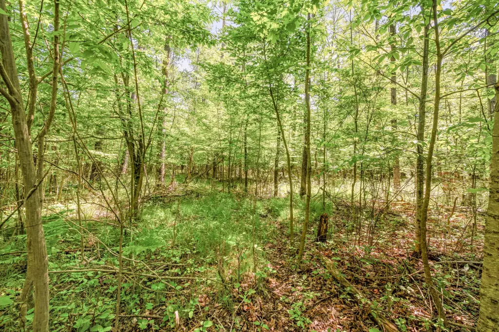
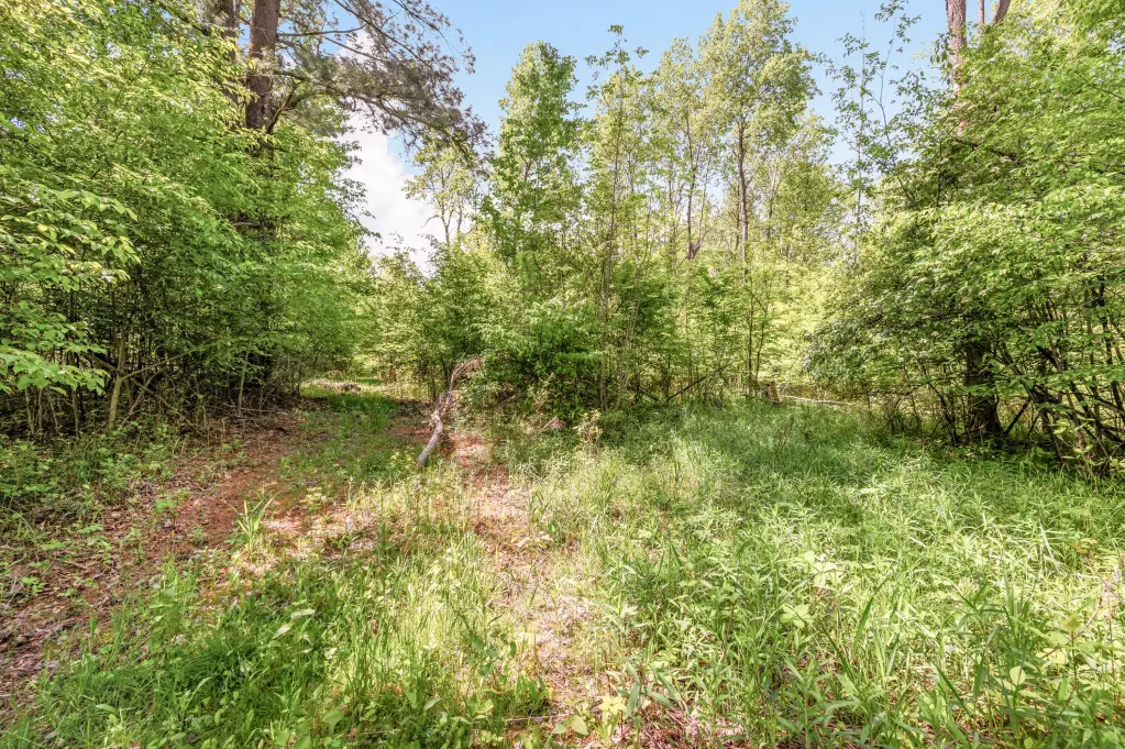
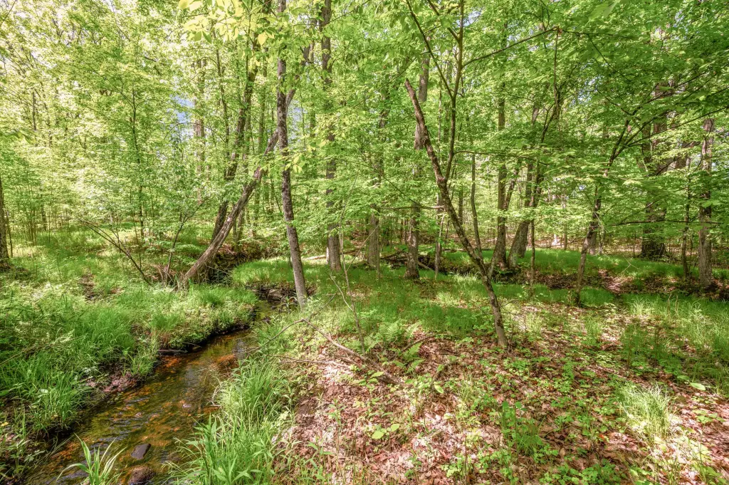
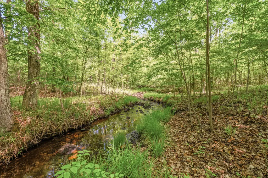
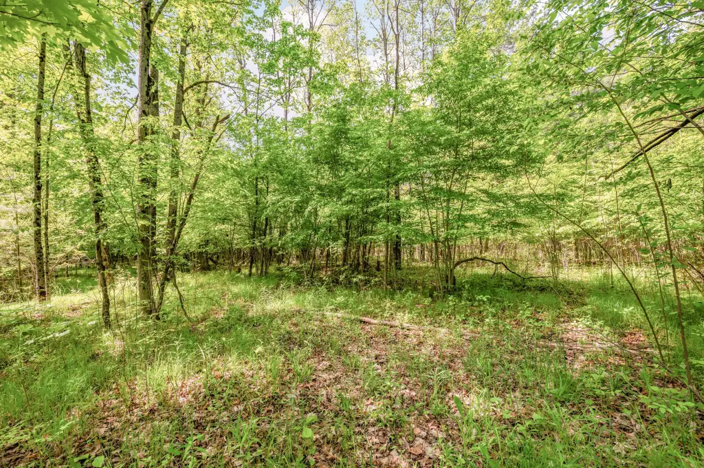
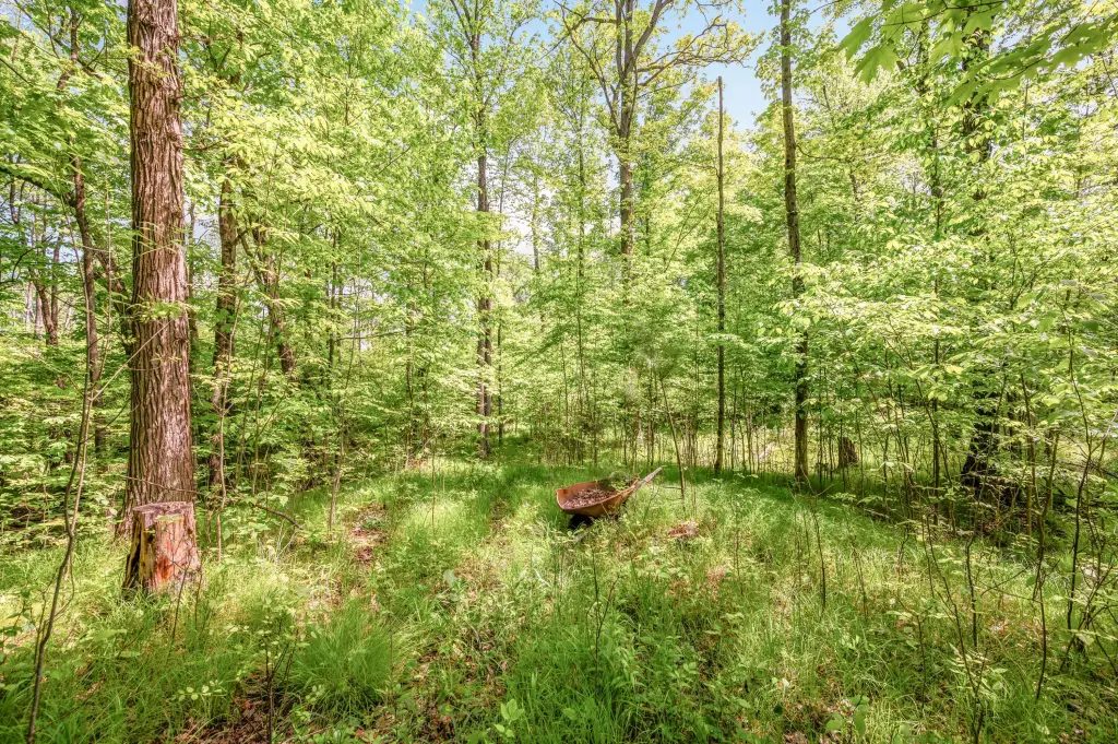
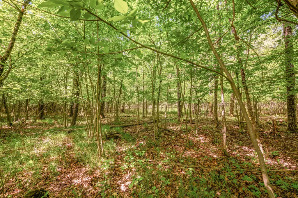
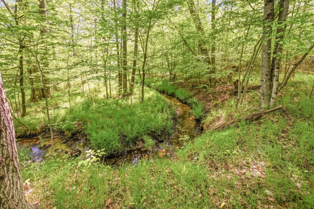
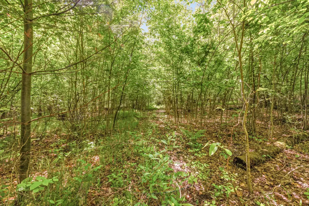
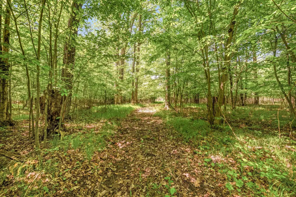
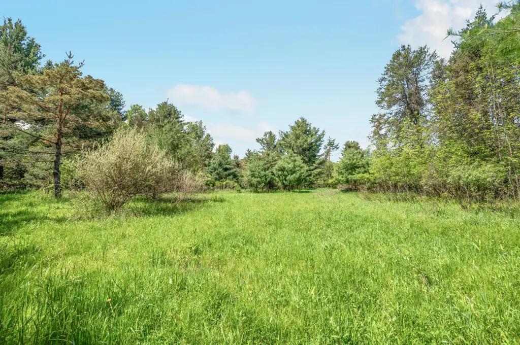
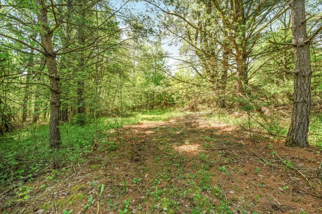
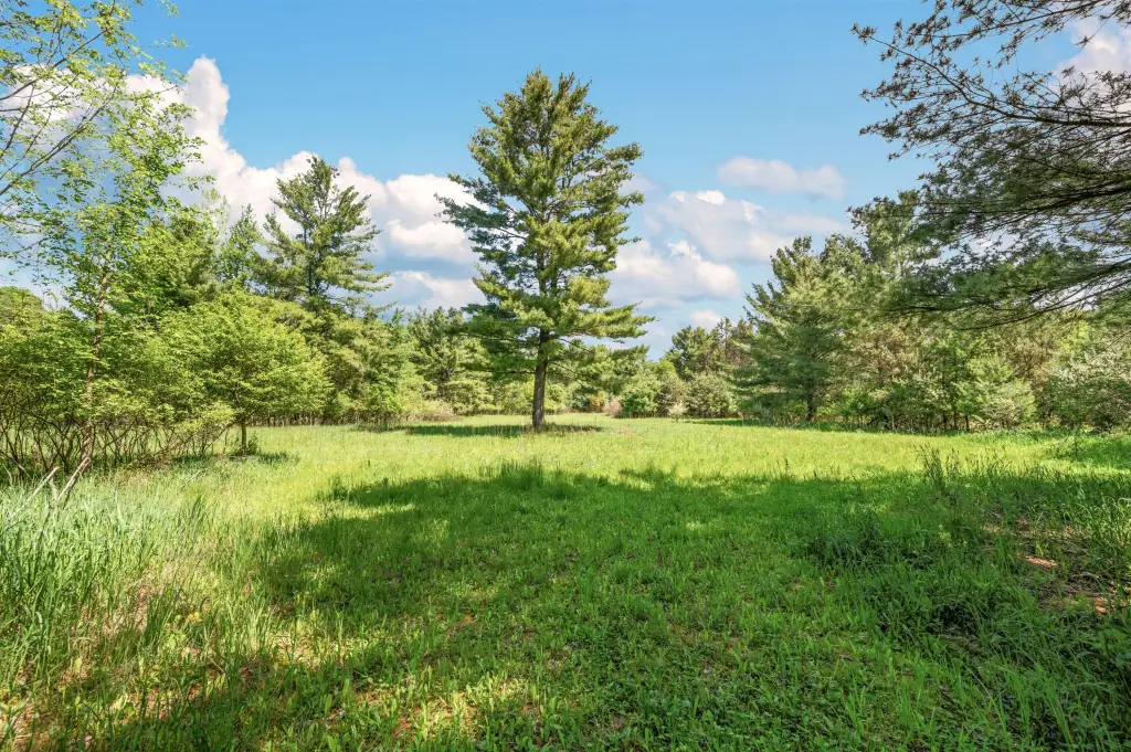
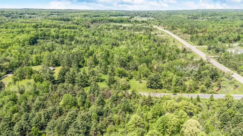
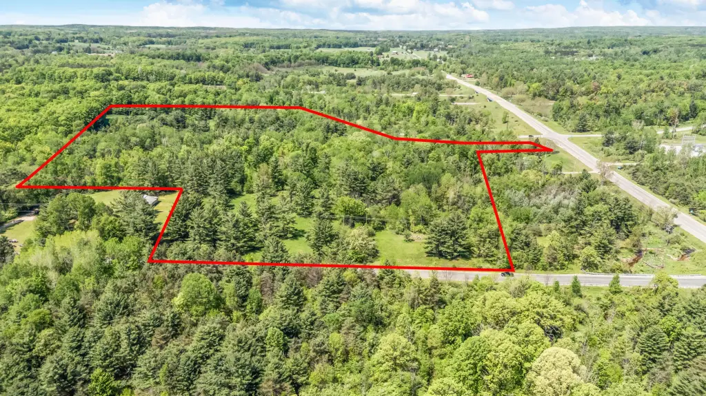
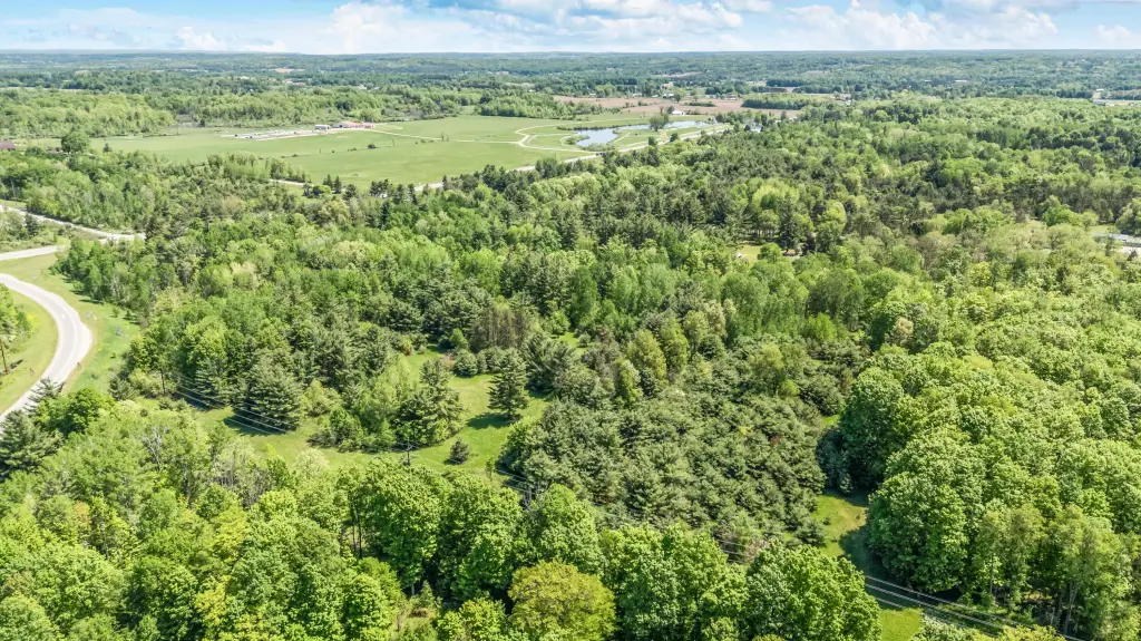
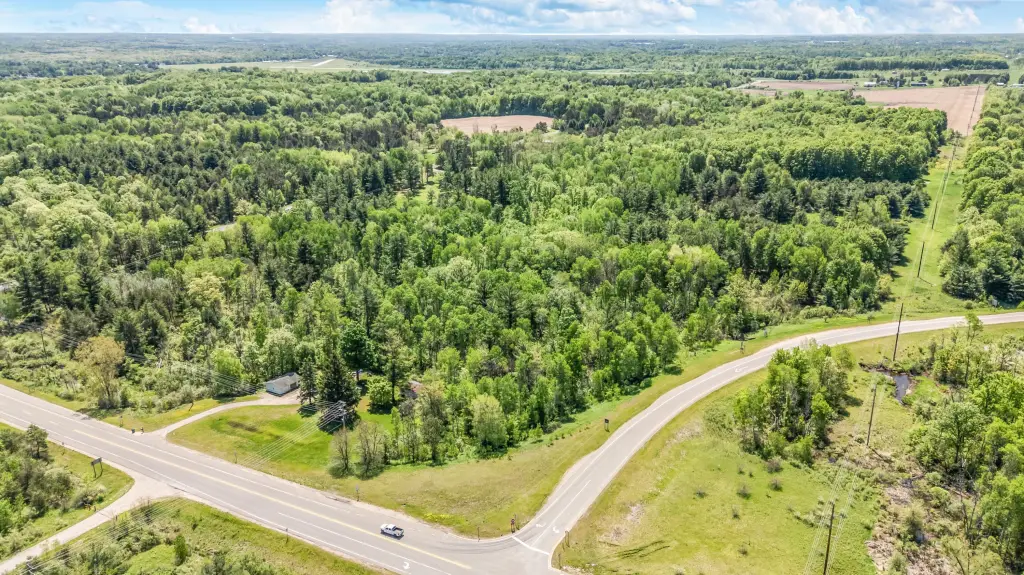
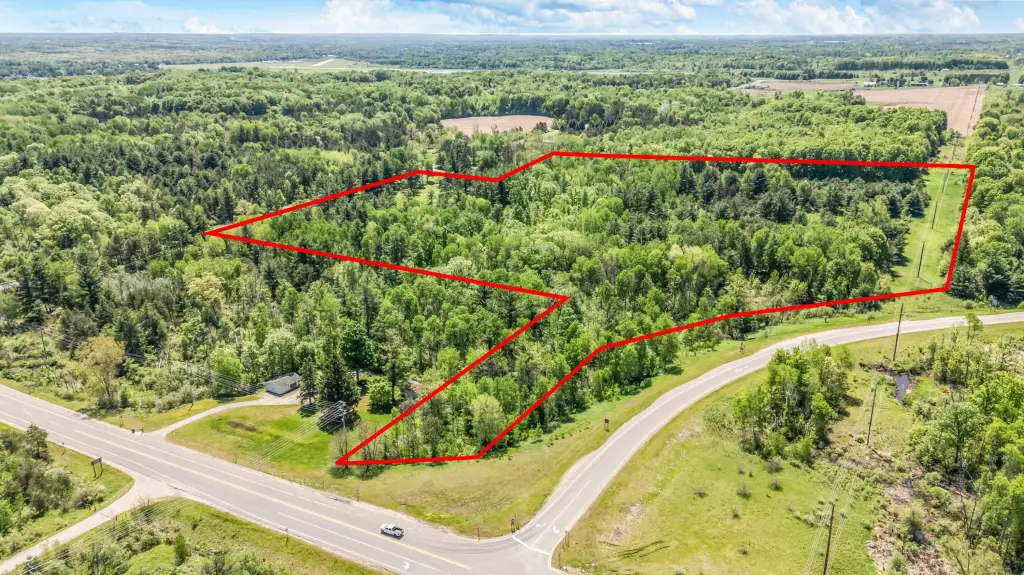
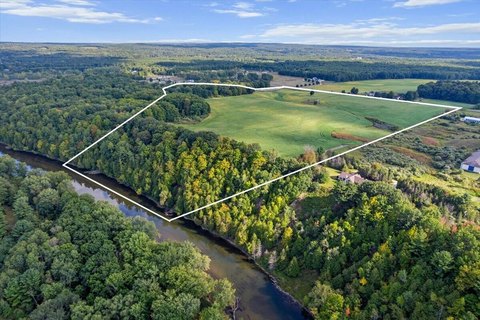
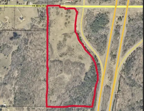
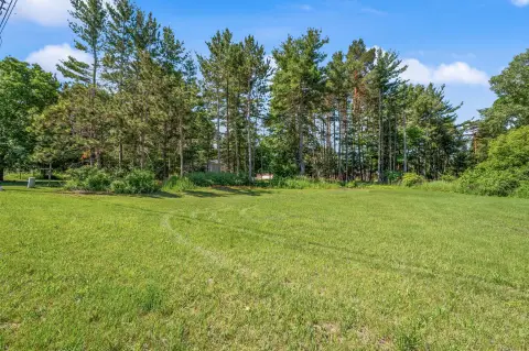
This 22.73-acre commercial land tract combines rolling hills, open fields, and a creek running through the center. Dalziel Creek provides a defined natural feature within the property, while the acreage offers a combination of developed and recreational land characteristics.
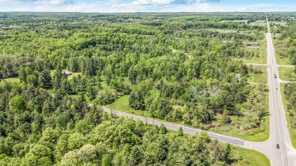
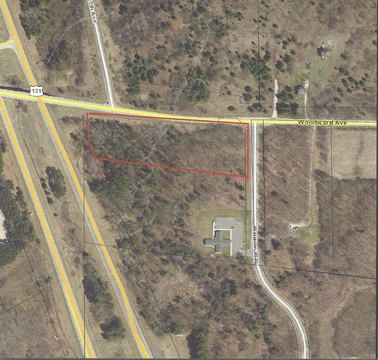
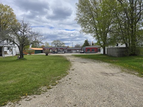
The property is positioned along the northbound off-ramp at exit 142 of HWY 131. It has hundreds of feet of frontage along HWY 131 on the west and 220th Ave on the east, creating access from two roadways. The tract lies within the HWY Commercial Zoning Corridor and is located near Big Rapids in Mecosta County, Michigan.
The property is positioned along the northbound off-ramp at exit 142 of HWY 131. It has hundreds of feet of frontage along HWY 131 on the west and 220th Ave on the east, creating access from two roadways. The tract lies within the HWY Commercial Zoning Corridor and is located near Big Rapids in Mecosta County, Michigan.
Key Highlights
- 22.73‑acre commercial land parcel
- Dalziel Creek runs through the middle of the property
- Hundreds of feet of frontage on HWY 131
Property Analytics
Unlock full access to Insights
Subscribe to Realmo Intelligence
Open Analytics
Current Use
Location Intelligence
Trade Area within ½ mile
3
Businesses Nearby
Explore this area
Business Placement
Demographics for 49307, MI
16,914
Population
7,997
Households
2.1
Avg Household Size
31
Median Age
31%
College-Educated
94%
High-School Grad
134.5 sq mi
ZIP Area
126
Density / Sq Mi
$54,803
Median Household Income
$24,736
Median Earnings
$877
Median Rent
$179,600
Median Home Value
Check the figures for this property
Cap Rate, Value Estimation, Potential NOI and more
View Realmo Analytics

Questions? Ask Rey
Realmo’s AI knows this listing — price, zoning, demand, history. Ask anything.




Frequently Asked Questions
What type of property is this?
Commercial land - Commercial zoning corridor acreage with roadway exposure, rolling terrain, and Dalziel Creek crossing the property.
Where is this commercial land located?
The property is located at V/L 220th Avenue Big Rapids, MI.
What is the asking price?
The asking price for this property is $205,000.
What are key features of this property?
This property features: 22.73‑acre commercial land parcel; Dalziel Creek runs through the middle of the property; Hundreds of feet of frontage on HWY 131


