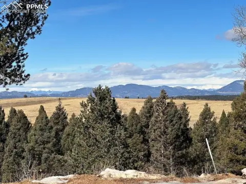
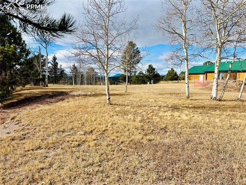
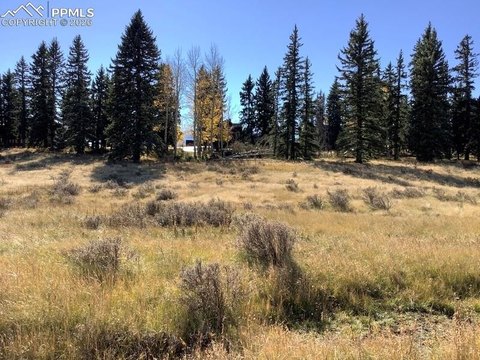
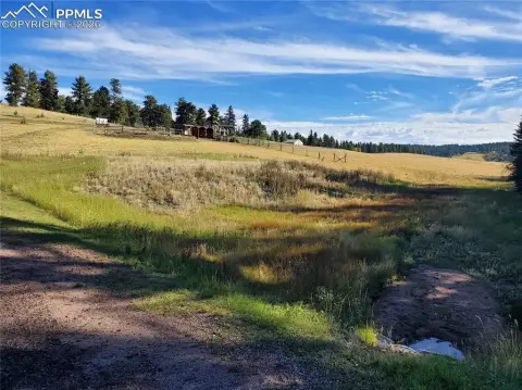
Adjoining Fenced Farmland
216 Will Scarlet Drive Divide, CO 80814
For Sale
$65,000
Two adjoining, fenced parcels offering a straightforward landholding with direct access from Highway 24.
Lot Size1.38 Acres
Days on Market83
Property Features for 216 Will Scarlet Drive
General Information
- Standard status
- Active
- Lot size
- 1.38 Acres
- Property subtype
- Land
Listing Agency:
Your Neighborhood Realty, Inc.
(719) 660-0207
Listed By:
Christy Lowe
(719) 660-0207
Source:
Compass
Added: May 4
Changed: Jul 10
Last Checked: Jul 25 at 10:44AM
Displayed information is deemed reliable but is not guaranteed and should be independently verified. All listing content including descriptions, pricing, images are the copyrighted material of Your Neighborhood Realty, Inc.
Investment Insights
Based on property information with market context.
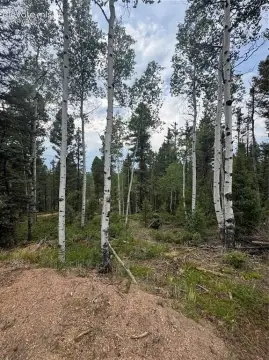
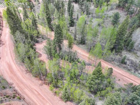
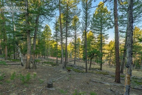
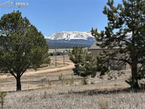
This offering includes two adjoining fenced parcels totaling 1.38 acres, presented as two separate lots with two separate addresses. The property configuration is agricultural land/farmland, with perimeter fencing already in place to support day-to-day use.
The parcels are situated near Divide, Colorado. A turn lane off Highway 24 heading west provides access to the entrance of Sherwood Forest from Divide, and Highway 24 is described as four lanes from Divide all the way to Colorado Springs, with repaving noted along that route. The surrounding area is characterized by outdoor recreation and wildlife, and the remarks reference proximity to Mueller State Park, reservoirs, and the Platte River.
For buyers seeking a manageable, fenced landholding in the Divide area, the combination of two adjoining parcels can be useful for maintaining separate addressable spaces while keeping the overall property contiguous. The fact that the lots are already fenced and offered as two adjoining components may appeal to prospective owners looking to support agricultural or land-use plans while retaining flexible parcel identity for each address.
Key Highlights
- Two adjoining fenced parcels totaling 1.38 acres
- Direct access from Highway 24, including a turn lane off Highway 24 heading west to Sherwood Forest
- Two separate addresses included: 216 Will Scarlet and 169 Sir Richard Drive
Property Analytics
Property Profile
Location Intelligence
Current Use by Public Records
Agricultural land / Farmland


FAQs
What type of property is this?
Agricultural land / Farmland - Two adjoining, fenced parcels offering a straightforward landholding with direct access from Highway 24.
Where is this agricultural land / farmland located?
The property is located at 216 Will Scarlet Drive Divide, CO.
What is the asking price?
The asking price for this property is $65,000.
What are key features of this property?
This property features: Two adjoining fenced parcels totaling 1.38 acres; Direct access from Highway 24, including a turn lane off Highway 24 heading west to Sherwood Forest; Two separate addresses included: 216 Will Scarlet and 169 Sir Richard Drive


