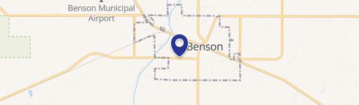
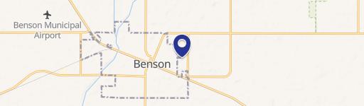
20th Ave NE/Co 57, Benson, MN 56215

- Added:
- Jul 13, 2024
- Days on Market:
- 722
- Last Refresh:
- Jul 4 at 10:06 am
Property Features for 20th Ave NE/Co 57
General Information
- Property type
- Commercial Sale
- Property subtype
- Other
- Standard status
- Active
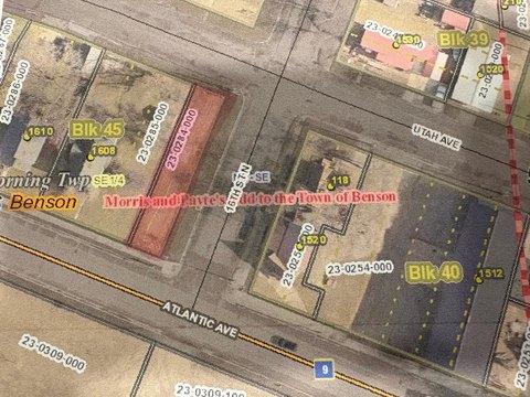
- Lot size
- 26.12 Acres
Listing agent Terri Jensen (855) 384-5263
Listing office National Land Realty, Minneapolis, MN 1005 Superior Drive, Northfield, MN (855) 384-5263
Listing date Jul 13, 2024
Copyright © 2026 My State MLS. All rights reserved. All information provided by the listing agent/broker is deemed reliable but is not guaranteed and should be independently verified.
HighLights
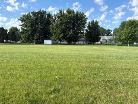
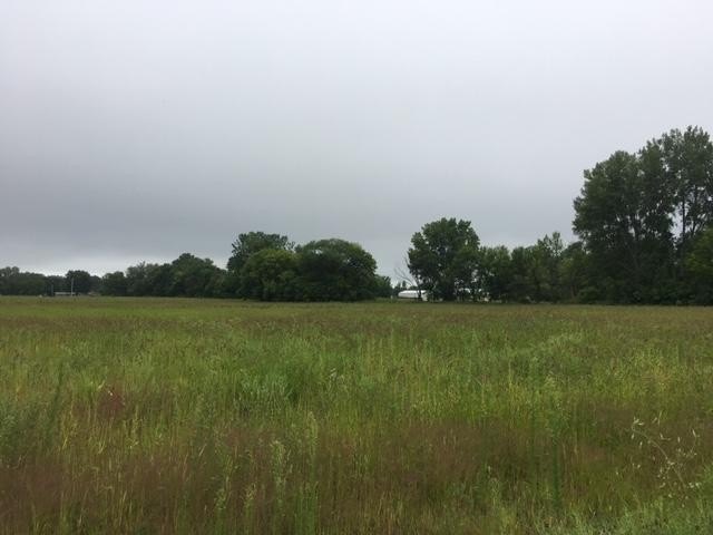
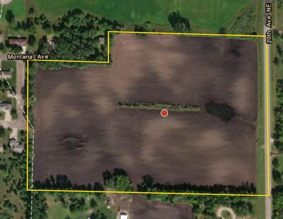
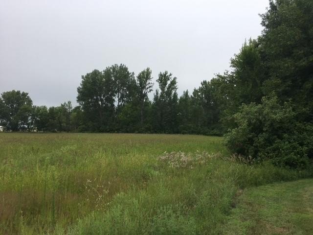
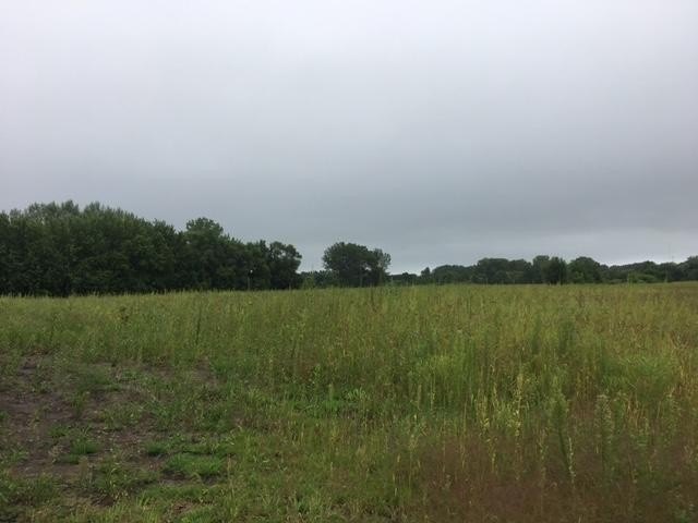
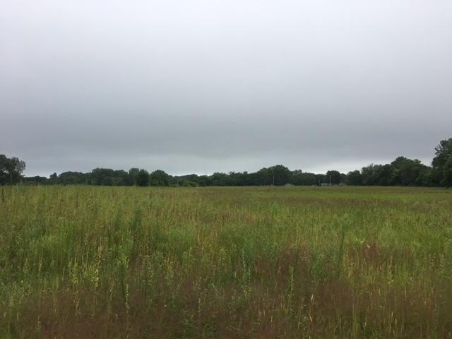
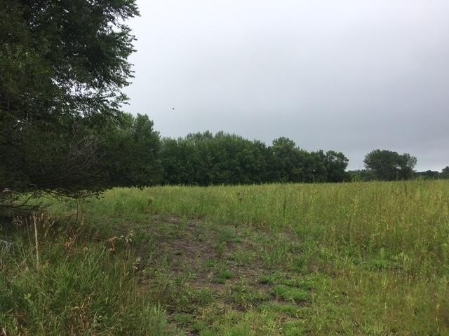
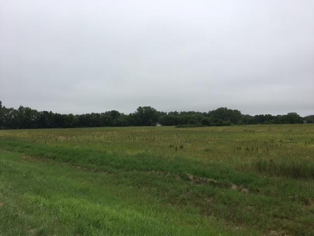
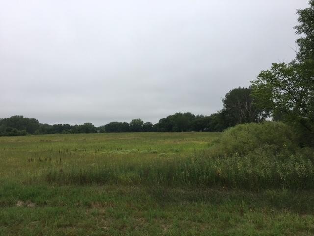
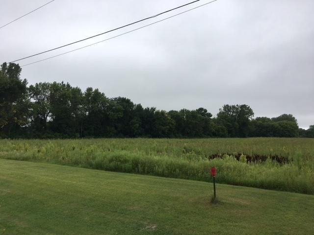
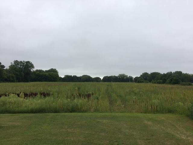
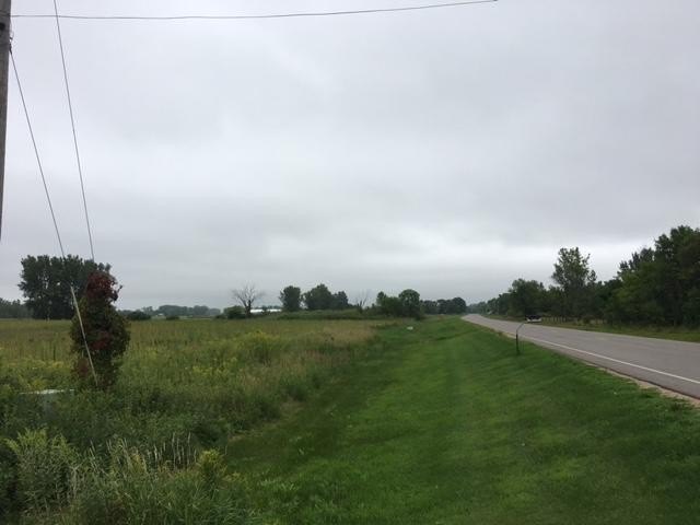
- Primarily level farm tract with west boundary along the City of Benson
- West side has planned future street extensions of Montana Avenue and Oregon Avenue through the parcel (per the city transportation plan)
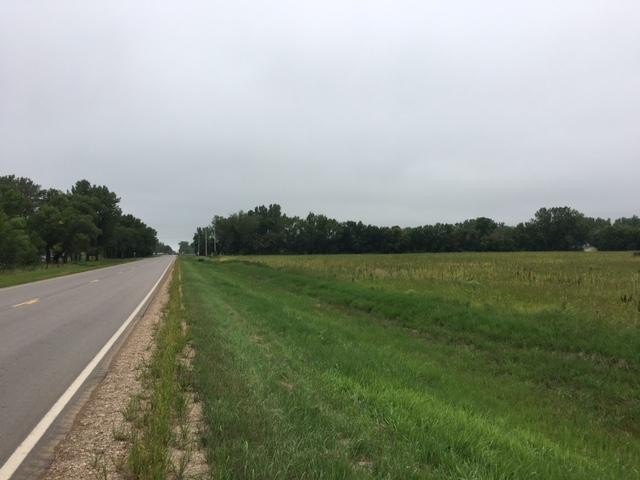
- East boundary fronts 20th Ave NE / County Road 57, just off U.S. Highway 12
- Urban Development zoning: permitted uses include agricultural activities, home occupations, and automobile dealerships
- Urban Development conditional uses include non‑farm dwellings, motels, truck rest stops, gas stations, restaurants, and commercial/industrial buildings
- Regional access includes nearby MN State Highway 9 and MN State Highway 29, plus Benson Municipal Airport and Lorenz Airport with runways for regional aviation needs
Overview
The land is positioned with frontage on 20th Ave NE / County Road 57 at the east boundary. That road is noted as being located just off U.S. Highway 12, providing transportation access. The City of Benson is described as bordering the property along its west boundary, where Montana Avenue and Oregon Avenue are planned for future extension through the parcel, according to the City’s transportation plan.
For buyers and developers, the combination of level terrain and Urban Development zoning supports both continued agricultural activity and a wider mix of commercial, service, and other conditional uses as plans evolve. With regional connectivity described via nearby Minnesota State Highway 9 and Minnesota State Highway 29, the parcel is also positioned to serve local and regional demand for appropriate permitted and conditional uses.
Current Use by Public Records
Map
- City
- Benson
- County
- Swift
- State
- Minnesota
- Longitude
- -95.585042
- Latitude
- 45.316237