20127 N Highway 23, Ozark, AR 72949
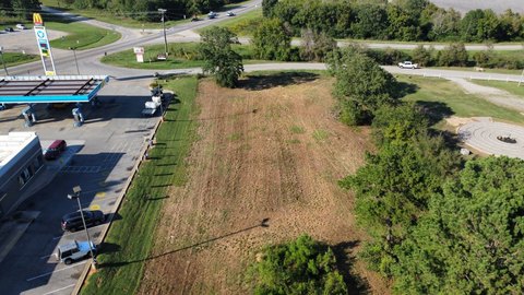
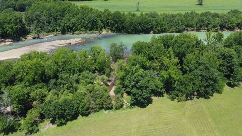
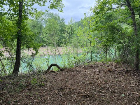
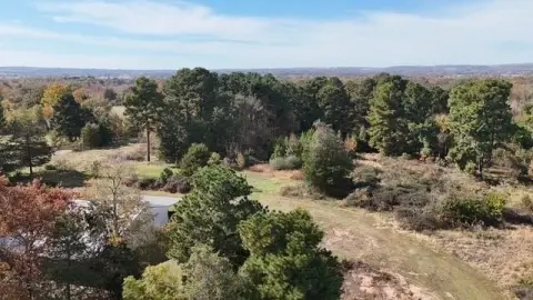
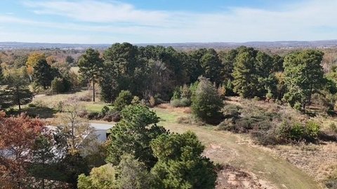
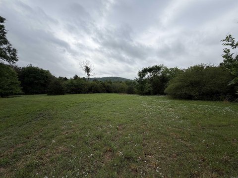
Level, usable riverfront land on the Mulberry River with utilities available and boundary extending to the opposite bank.
- Added:
- Jun 21, 2026
- Days on Market:
- 18
- Last Refresh:
- Jul 8 at 3:52 am
Property Features for 20127 N Highway 23
General Information
- Standard status
- Active
- Property subtype
- Vacant Land
Listing office Riverbend Properties (479) 667-2159
Listing date Jun 21, 2026
Source Doyle-realty
Displayed information is deemed reliable but is not guaranteed and should be independently verified.
All listing content including descriptions, pricing, images are the copyrighted material of Riverbend Properties
HighLights
- Level, usable land directly on the Mulberry River at Historic Turner Bend
- Property boundary extends to the opposite riverbank across the Mulberry River
- Utilities available: water, electricity, and high‑speed fiber internet
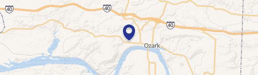
- Easy year‑round access with a location about 11 miles north of I‑40 near Ozark
- About 30 minutes south of Fayetteville
- Near Turner Bend outfitter/general store and close to fishing, canoeing, kayaking, rafting, and hiking recreation
Overview
The land is located at Historic Turner Bend, approximately 11 miles north of I-40 near Ozark, and about 30 minutes south of Fayetteville. The immediate area includes access to recreation on and around the Mulberry River, with nearby outfitter and general store services referenced for rentals, food, supplies, and other necessities. The setting also supports outdoor activity such as canoeing, kayaking, rafting, fishing, swimming, hiking, and ATV riding, with additional exploration described throughout the surrounding Ozark National Forest region.
For buyers looking for river-oriented property in the Ozarks, the combination of level terrain, direct Mulberry River frontage, and availability of water, electric, and fiber can reduce uncertainty when planning a residential or recreational build. The extended ownership to the opposite riverbank may also appeal to those seeking a quieter experience and more direct enjoyment of the waterway, within the limits of the stated covenants.
Current Use by Public Records
Location Insight
- Map
- Local Demand
- City
- Ozark
- County
- Franklin
- State
- Arkansas
- Longitude
- -93.828929
- Latitude
- 35.668996