Wooded Residential Building
Parcel 2 Markridge Drive Grand Rapids, MI 49534
Parcel 2 Markridge Drive, Grand Rapids, MI, 49534
$167,400
For Sale
$167,400
LAND - Grand Rapids, MI
Lot Size2.72 Acres
Days on Market223
Property Features for Parcel 2 Markridge Drive
General Information
- Property type
- Land
- Property subtype
- Other
- Standard status
- Active
- APN
- 70-10-28-100-054
- Lot size
- 2.72 Acres
Taxes and HOA fees
- Tax Year
- 2025
- Tax Description
- Lengthy legal description, see documents.
- Tax Annual Amount
- 3016
Utilities
- Utilities
- Cable Available
Listing Agency
Five Star Real Estate (Tallmadge)
(616) 901-9632
O-250 Lake Michigan Drive, Jenison, MI
Listed by
Charles M Stafford
(616) 446-9288
Added: Dec 9, 2025 Updated: Jun 3 at 12:57 pm Checked: Jul 20 at 7:06 pm
MLS# 25061313
Listing URL
Copyright © 2026 Michigan Regional Information Center, LLC. All rights reserved. All information provided by the listing agent/broker is deemed reliable but is not guaranteed and should be independently verified.
Investment Insights
Based on property information with market context.
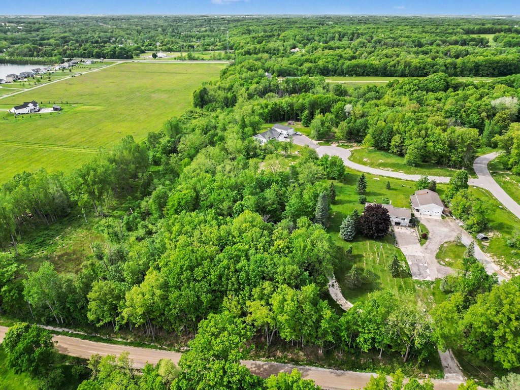
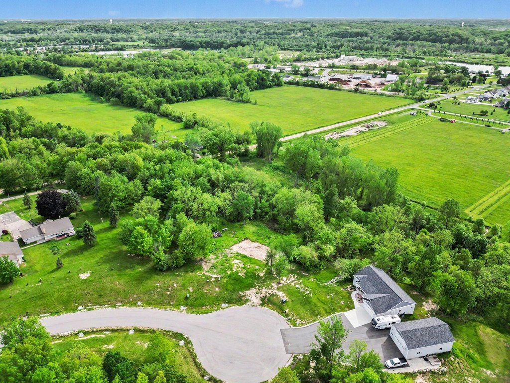
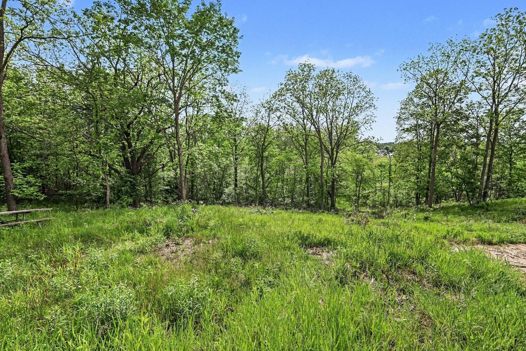
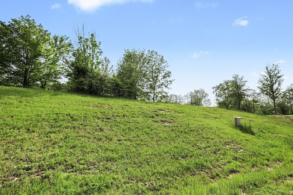
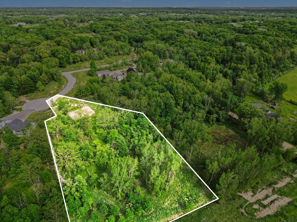
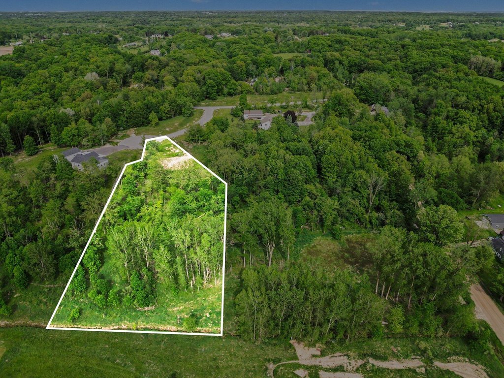
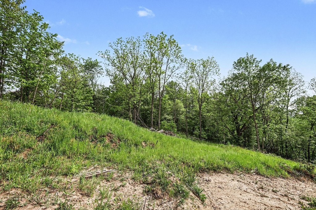
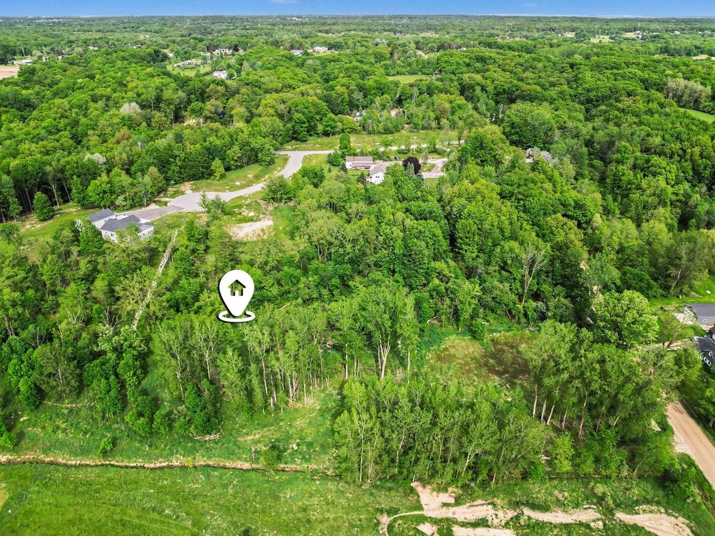
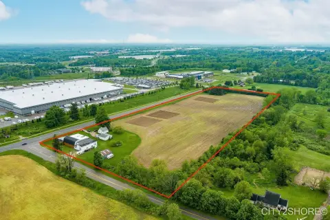
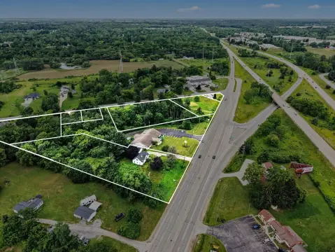
Parcel 2 on Markridge is a 2.72-acre building site in Tallmadge Township, offered as a cleared and prepared homesite. The property is rolling and wooded, and it has had a perc test completed, with clearing and scraping already done. Utilities available include natural gas, underground electric, and Spectrum high-speed internet. The terrain is described as well-suited for a walkout basement, and pole barns are permitted. Minimum home size requirements are 1,450 square feet for ranch-style homes and 2,000 square feet for multi-story homes, with parcel layout and covenants available in the MLS attachment.
The lot is located on a newly paved cul-de-sac within the Grandville School District. The listing also notes that the property can be walked, and provides a navigation reference of 2769 Winans, Grand Rapids, MI 49534.
This is a practical fit for buyers looking to build on a private, wooded parcel with key site work already completed, including the perc test and site clearing. With the builder option stated and the walkout-basement-ready terrain, it supports a range of residential plans that meet the published minimum square footage requirements.
Key Highlights
- Parcel 2 on Markridge in Tallmadge Township within Grandville School District
- Building site on a newly paved cul‑de‑sac with cleared/scraped grounds and completed perc test
- Utilities available: natural gas, underground electric, and Spectrum high‑speed internet (cable available)
Property Analytics
Property Profile
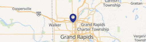
Location Intelligence
Current Use by Public Records
Residential land & home ...
Similar For Sale Nearby

FAQs
What type of property is this?
Residential land & home lot - Rolling, wooded lot on a paved cul-de-sac with utilities available and perc test completed for new home builds.
Where is this residential land & home lot located?
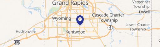
The property is located at Parcel 2 Markridge Drive Grand Rapids, MI.
What is the asking price?
The asking price for this property is $167,400.
What are key features of this property?
This property features: Parcel 2 on Markridge in Tallmadge Township within Grandville School District; Building site on a newly paved cul‑de‑sac with cleared/scraped grounds and completed perc test; Utilities available: natural gas, underground electric, and Spectrum high‑speed internet (cable available)


