1968 E Millers Cove Rd, Walland, TN 37886
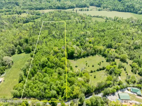
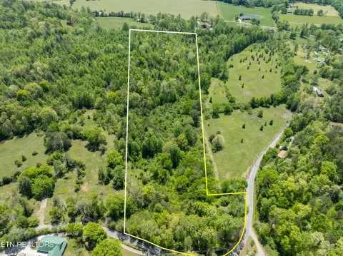
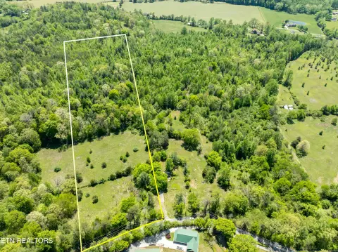
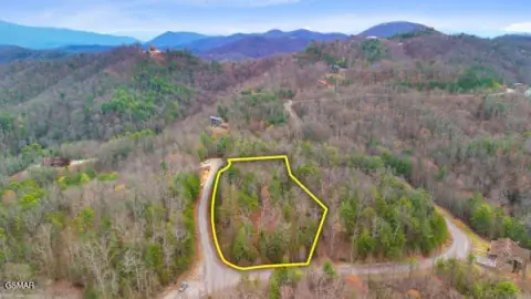
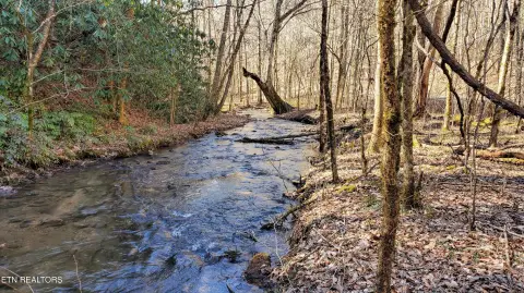
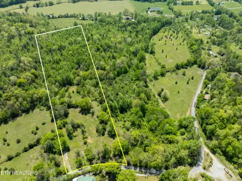
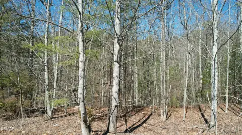
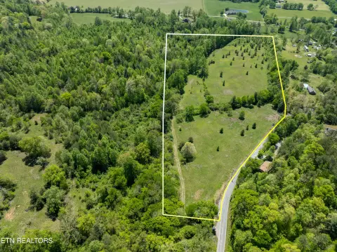
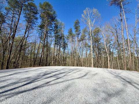
332 wooded acres with extensive internal roads, mountain streams, and a spring-fed pond for recreational and residential development use.
- Added:
- Jun 30, 2026
- Days on Market:
- 8
- Last Refresh:
- Jul 1 at 2:07 am
Property Features for 1968 E Millers Cove Rd
General Information
- Standard status
- Active
- Lot size
- 332.00 Acres
- Property subtype
- Lots & Acreage
Listing office (865) 366-4600
Listing date Jun 30, 2026
Source Mtnhomerealty.idxbroker
Displayed information is deemed reliable but is not guaranteed and should be independently verified.
All listing content including descriptions, pricing, images are the copyrighted material of Mountain Home Realty
HighLights
- 332‑acre wooded tract with a mix of rolling, level, steep, and partially cleared topography (surveyed).
- Spring‑fed pond on‑site with a professionally installed earthen dam and overflow pipe system.
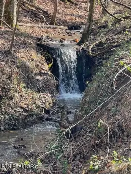
- Mountain streams with several springs and tributary streams; creek and wooded/rolling lot features.
- Extensive internal roads plus 3,500+ ft of road frontage on E Millers Cove Rd; 1/2‑mile border with the Foothills Parkway.
- Blount County R‑2 low density residential zoning: one single‑family dwelling of any size for every five acres of land.
- Strictly controlled access—appointment required to enter; guided tours for qualified buyers.
Overview
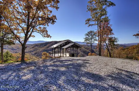
The land is located across from Blackberry Mountain Resort. It provides approximately 3,500 feet of road frontage on the north side along E Millers Cove Rd, plus about a half-mile border with the Foothills Parkway on the south side. Zoning is Blount County R-2 low density residential, which allows one single-family dwelling of any size for every five acres. The property also includes cleared areas identified for wildlife food plots, and views described include ridge top views of the Smoky Mountains and views toward the Blackberry/Three Sister’s Mountain range.
For buyers seeking a private, amenity-rich tract with established access routes, the internal road and trail network, abundant water features, and wildlife-oriented improvements may support recreational use and planning for low-density residential development under the stated R-2 requirements. Access is strictly controlled and available by appointment only, with guided tours provided to qualified buyers.
Current Use by Public Records
Location Insight
- Map
- Local Demand
- City
- Walland
- County
- Blount
- State
- Tennessee
- Longitude
- -83.7354215
- Latitude
- 35.7425688