Freeport Land Near Clyde
For Sale
$4,250,000
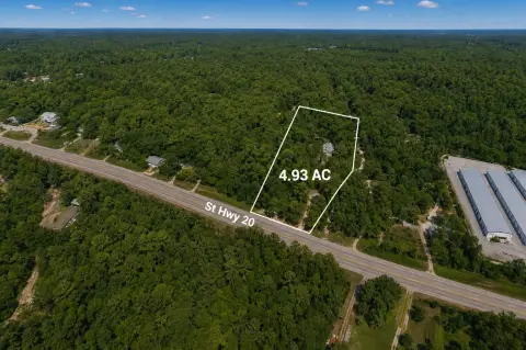
19494 Us Highway 331, Freeport, FL 32439
LAND - Freeport, FL
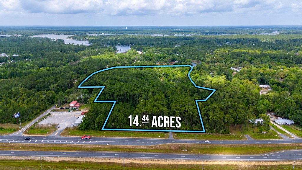
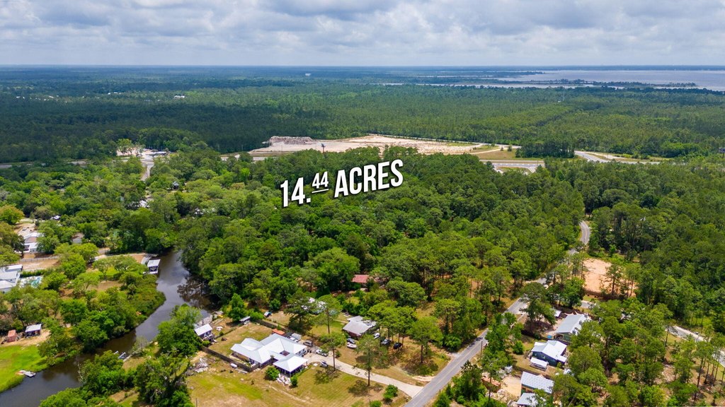
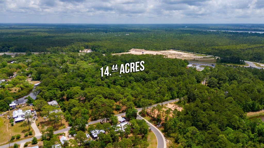
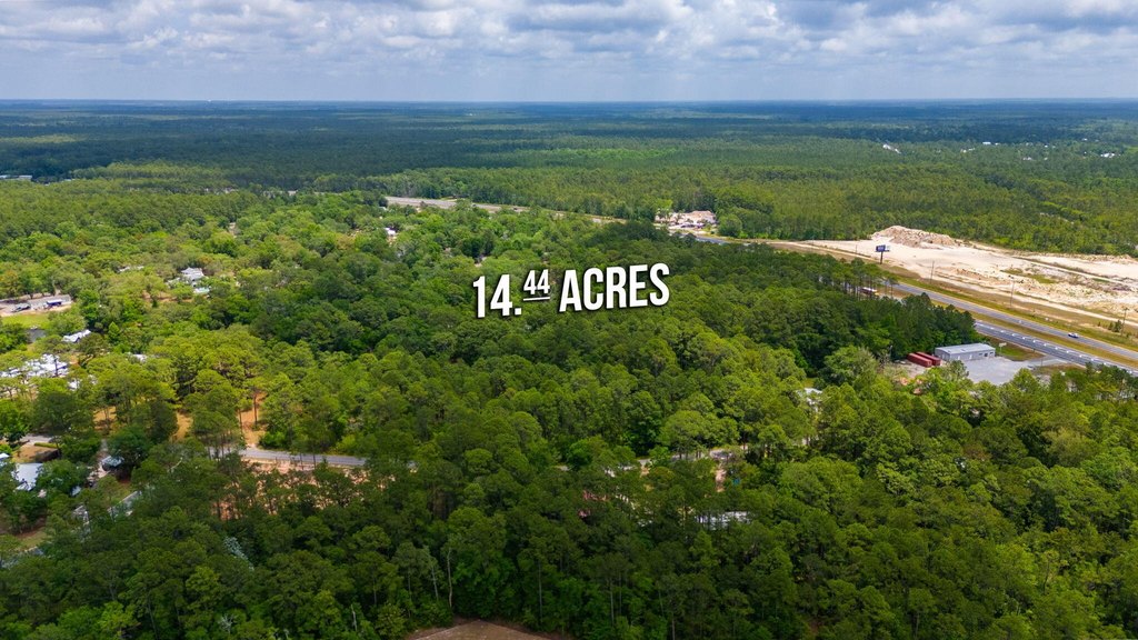
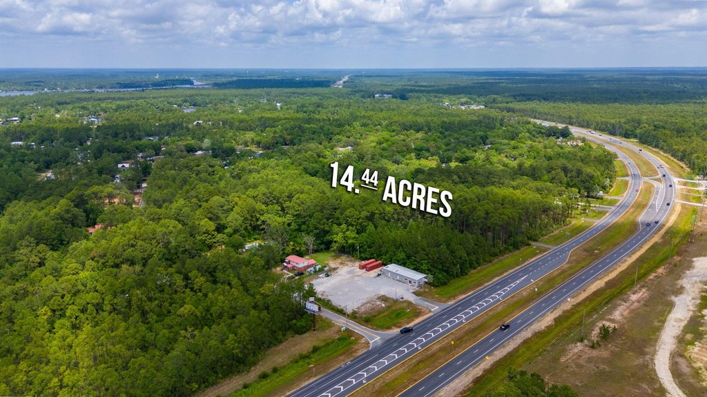
Lot Size14.44 Acres
Days on Market809
Property Features for 19494 Us Highway 331
General Information
Property type
Land
Property subtype
Other
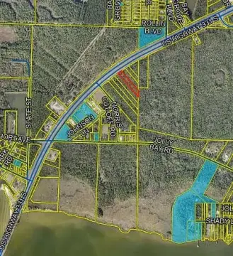
Zoning
Commercial, County, Resid
Subdivision
METES & BOUNDS
Lot features
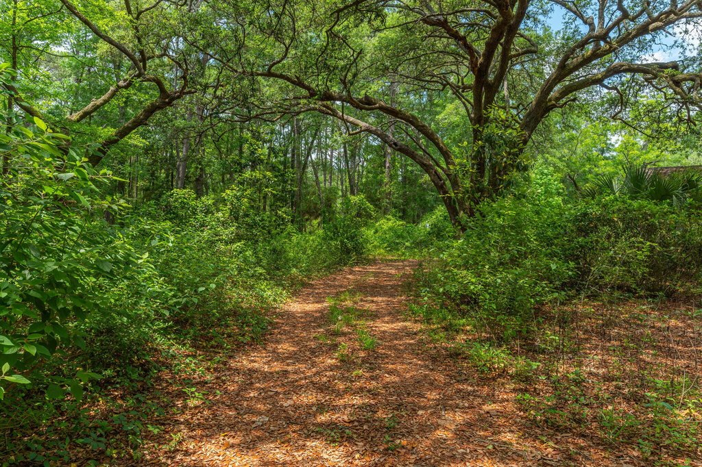
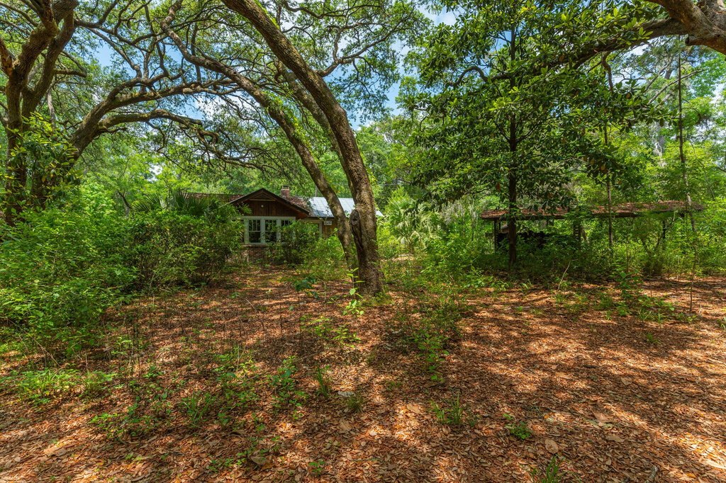
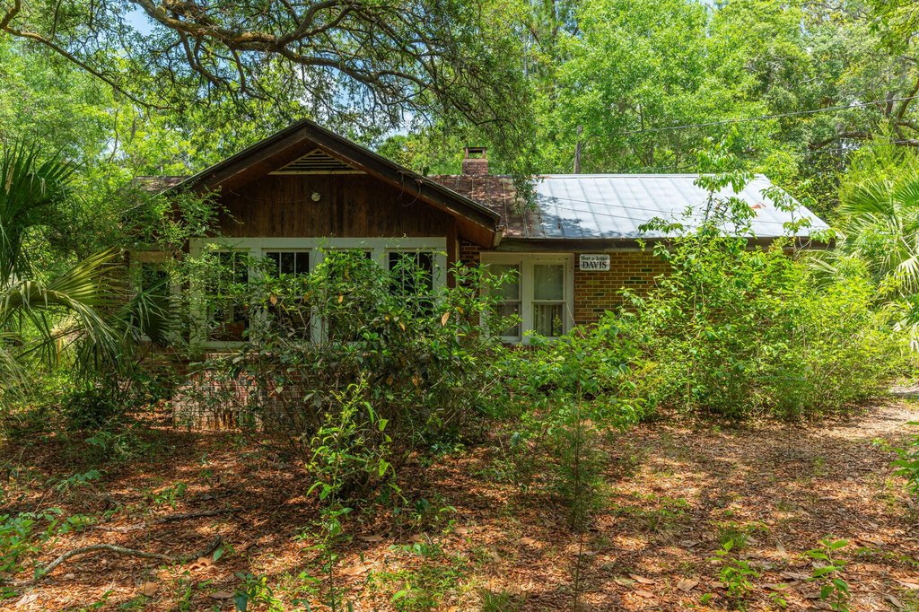
Interior, Wetlands, Wooded
Elementary school
Freeport
Middle school
Freeport
High school
Freeport
Directions
Property is located just North of Laird Dr on the West side of US Hwy 331. Please note, Rodney Dr does NOT border this property.
Standard status
Active
APN
34-1S-19-23000-014-0000
Lot size
14.44 Acres
Taxes and HOA fees
Tax Year
2023
Tax Description
COM AT THE SW/C OF SEC 34-1S- 19W THENCE N 87 DEG 35'E ALONG THE S BDY OF SEC 34 A DISTANCE OF 551.67FT TO IT'S INTER- SECTION WITH THE NW ROW LINE OF FLORIDA STATE HWY #83 (AKA US HWY 331) THENCE N 59 DEG 27'E ALONG SAID ROW LINE A DISTANCE OF 471.04FT TO A CONCRETE MONUMENT THENCE N 01 DEG 41'W 343.70FT TO A CONCRETE MONUMENT THENCE N 59 DEG 28'E 695.15FT TO POB OF THE FOLLOWING DESC TRACT OF L
Tax Annual Amount
2981
Legal Description
COM AT THE SW/C OF SEC 34-1S- 19W THENCE N 87 DEG 35'E ALONG THE S BDY OF SEC 34 A DISTANCE OF 551.67FT TO IT'S INTER- SECTION WITH THE NW ROW LINE OF FLORIDA STATE HWY #83 (AKA US HWY 331) THENCE N 59 DEG 27'E ALONG SAID ROW LINE A DISTANCE OF 471.04FT TO A CONCRETE MONUMENT THENCE N 01 DEG 41'W 343.70FT TO A CONCRETE MONUMENT THENCE N 59 DEG 28'E 695.15FT TO POB OF THE FOLLOWING DESC TRACT OF L
Utilities
Sewer type
Septic Tank
Water source
Well
Water front features
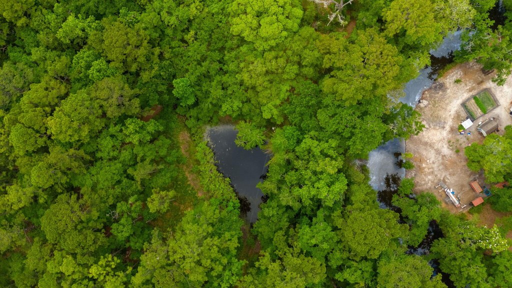
Pond
Water front
1
Listing Agency:
Merrifield & Pilcher Realty
(850) 892-9650
Listed By:
Sally R Merrifield · License #492292
(850) 865-0640
Added: May 13, 2024
Changed: Apr 27
Last Checked: Jul 30 at 5:06PM
MLS# 949762
Copyright © 2026 Emerald Coast Association of Realtors. All rights reserved. All information provided by the listing agent/broker is deemed reliable but is not guaranteed and should be independently verified.
Investment Insights
Based on property information with market context.
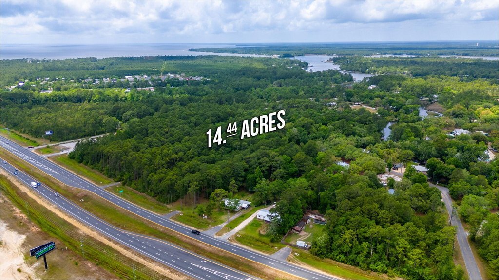
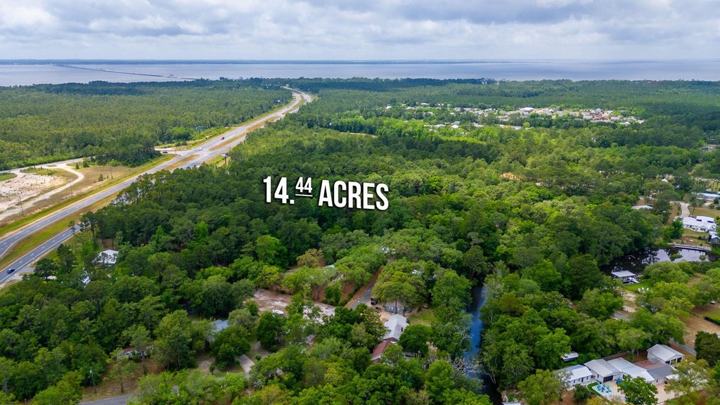
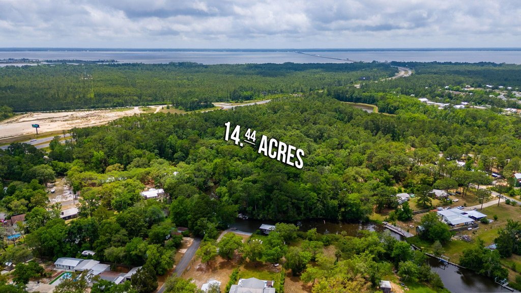
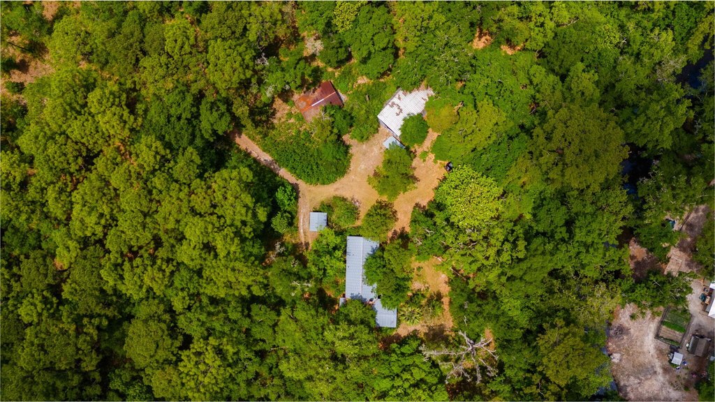
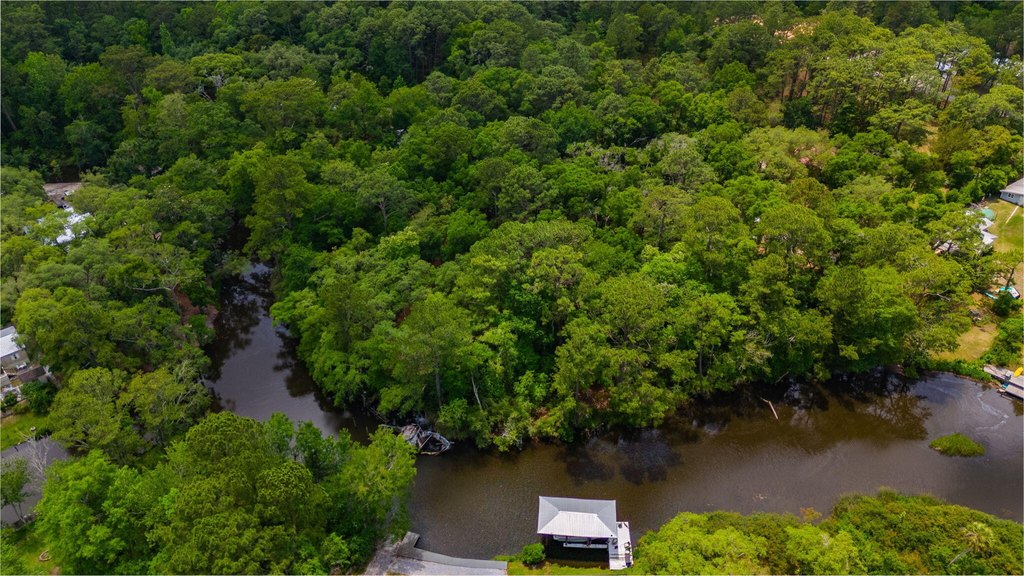
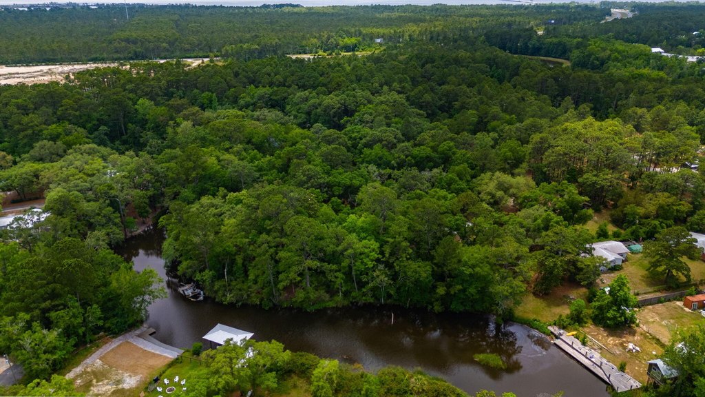
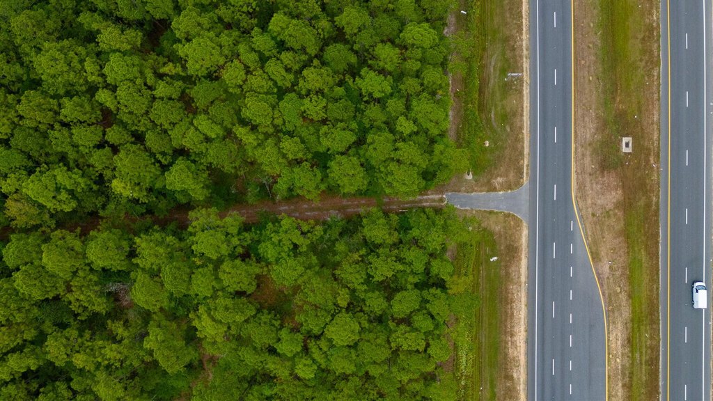
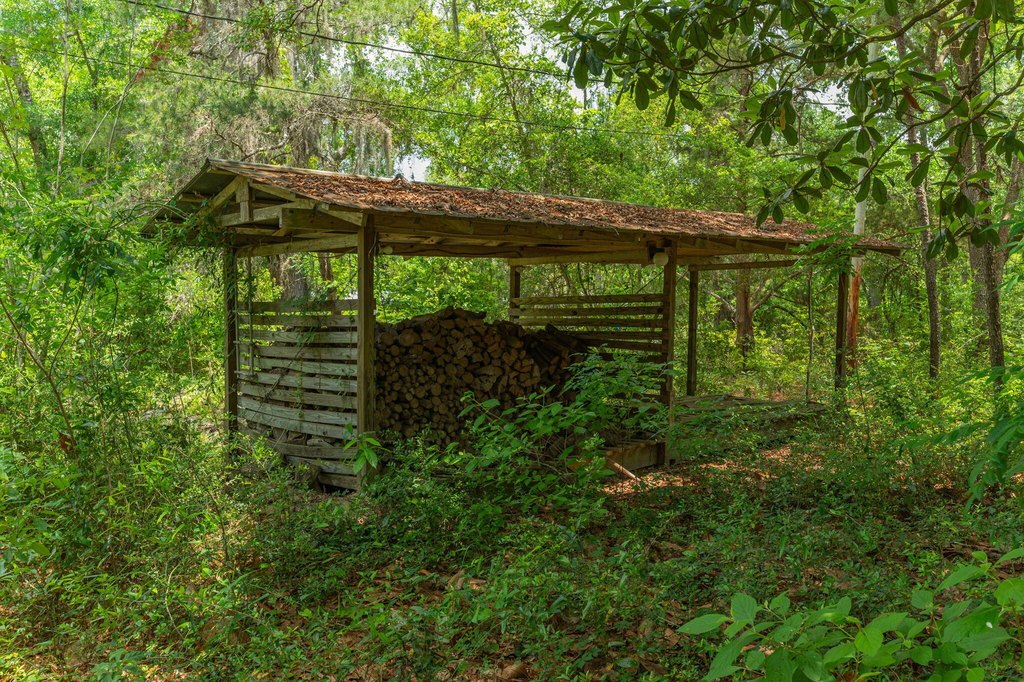
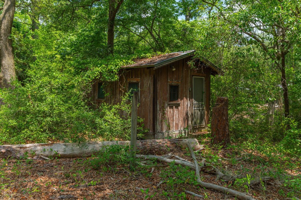
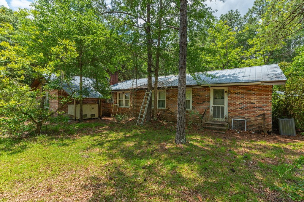
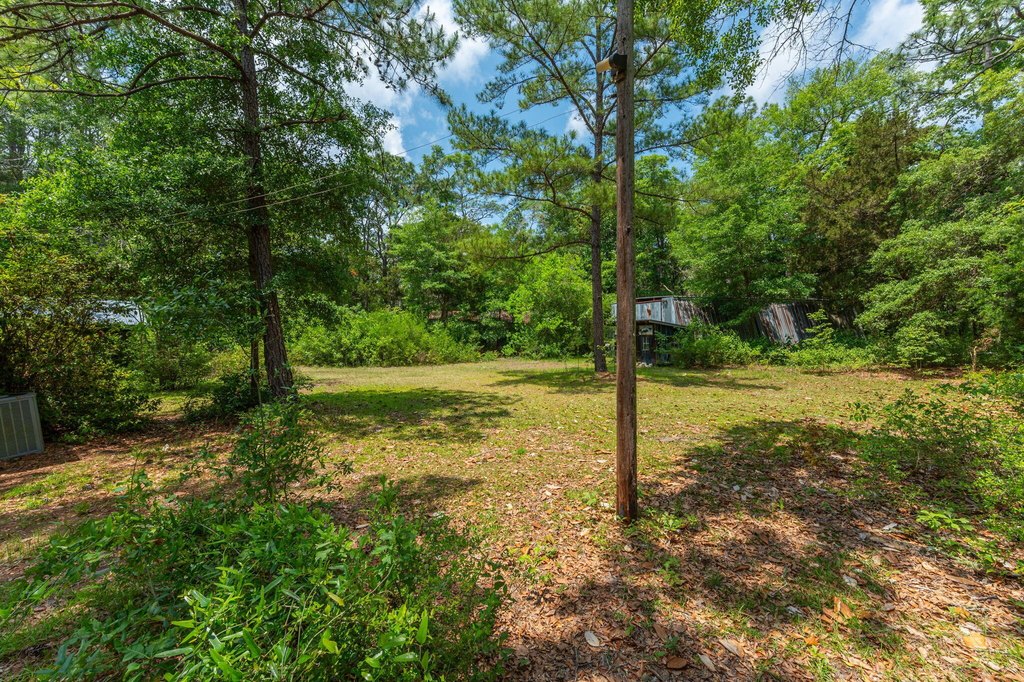
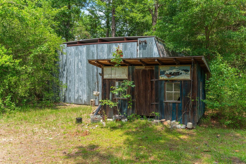
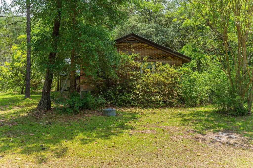
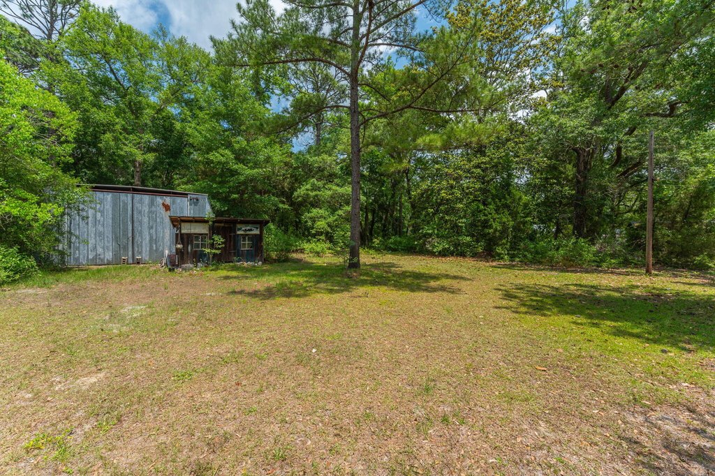
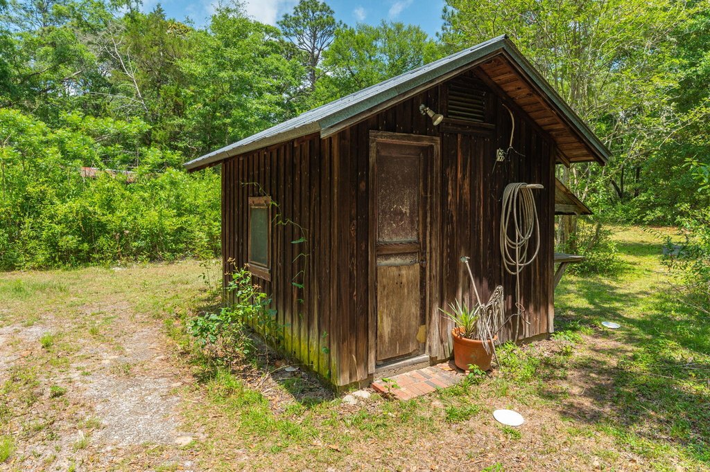
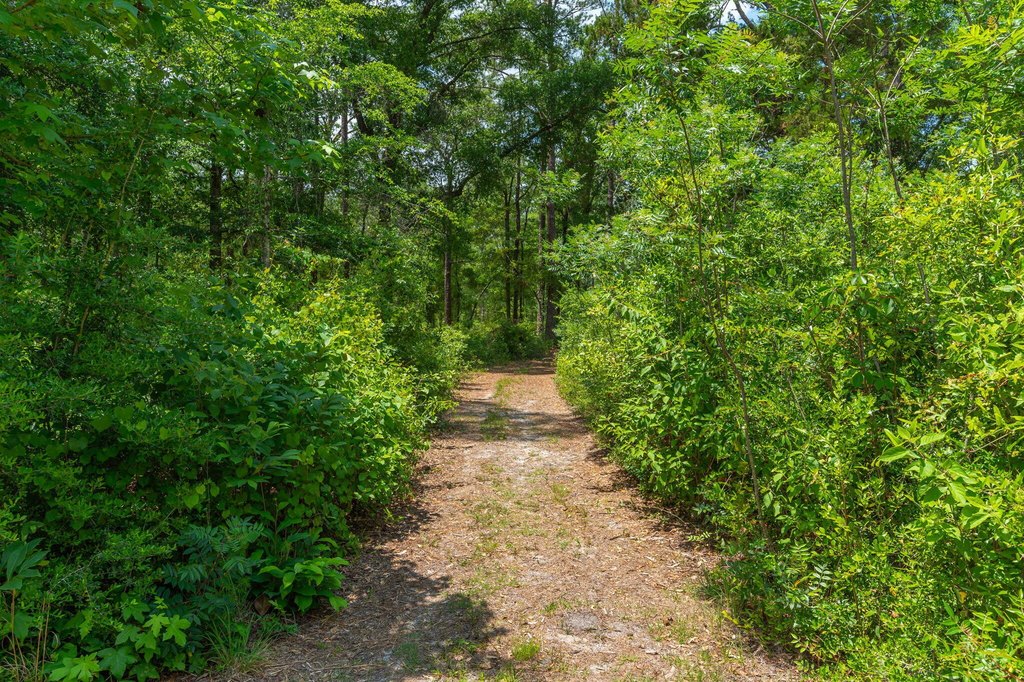
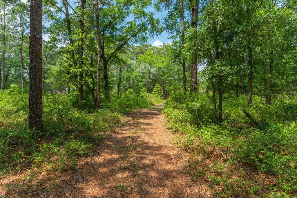
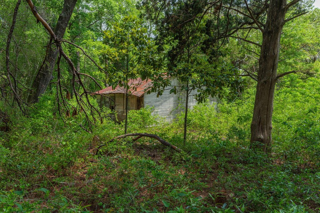
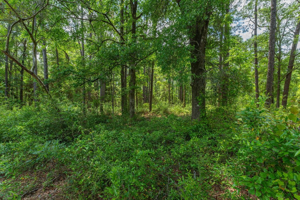
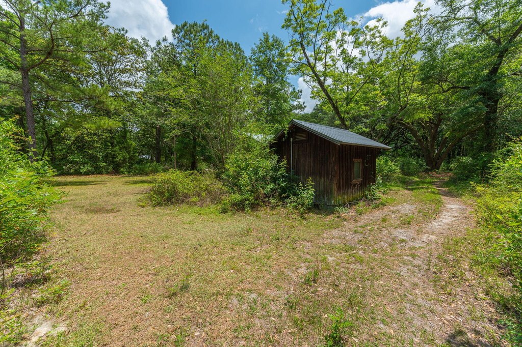
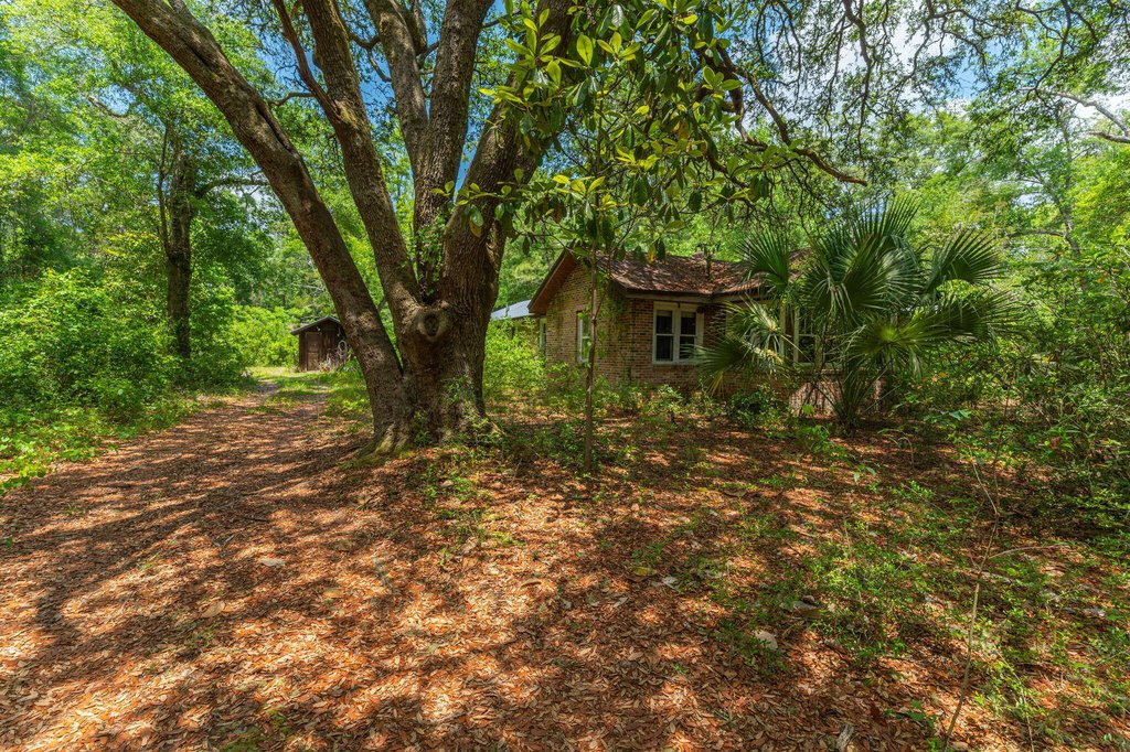
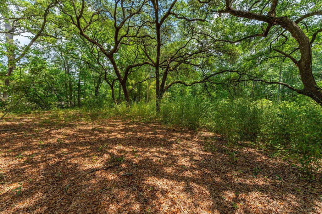
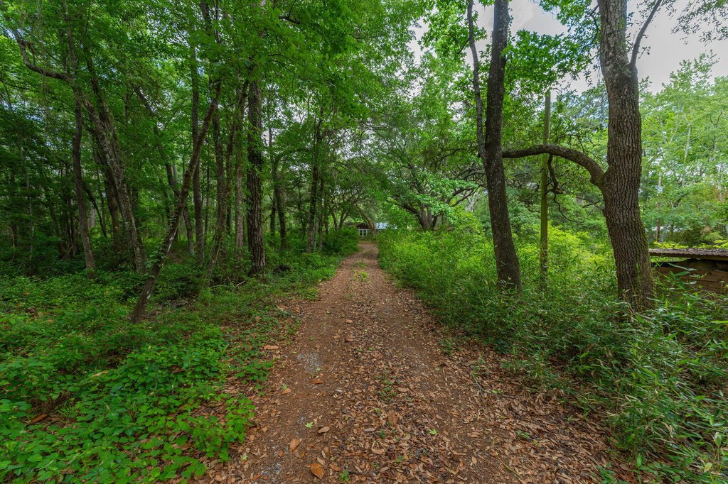
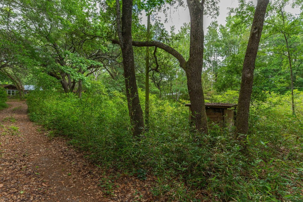
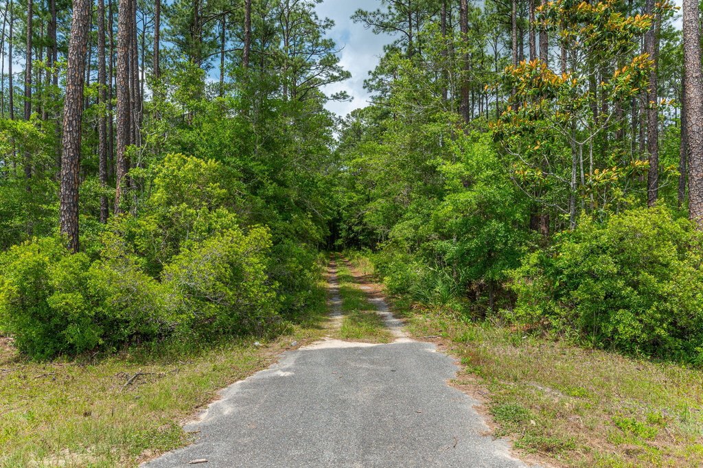
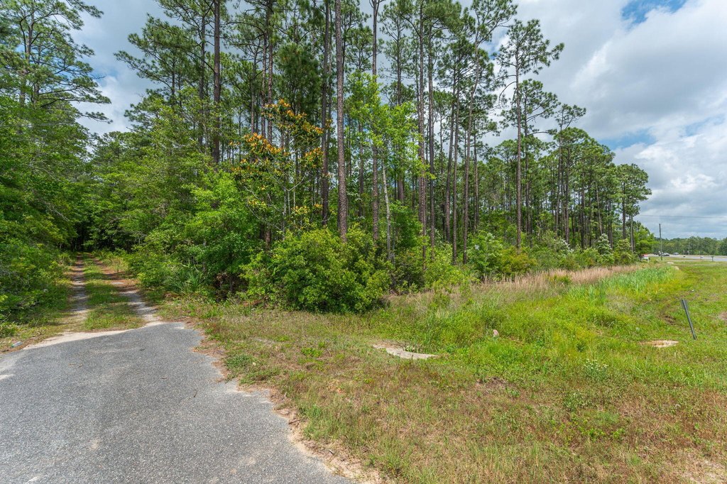
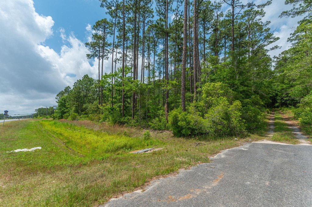
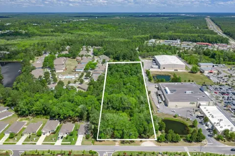
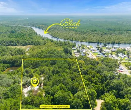
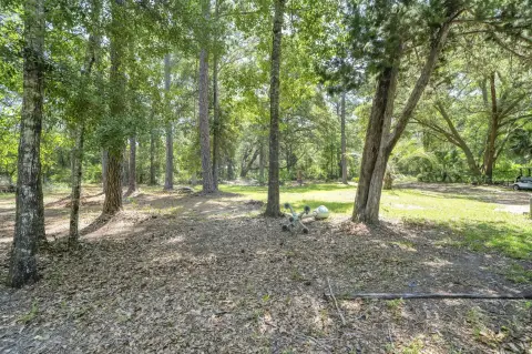
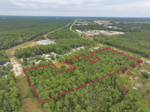
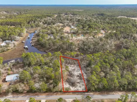
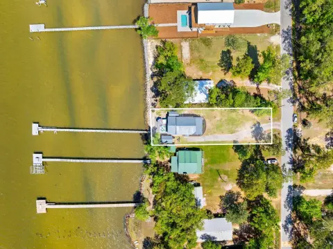
This 14.4-acre property is located just north of the Clyde Wells Bridge, providing convenient access to South Walton and the beach. The front portion of the property is designated for commercial use, while the remaining area is zoned as rural residential, according to the Walton County Land Use Map. Approximately 68% of the property is located in Zone X, according to the NWFWMD Flood Map. The property borders Mallet Bayou, which flows into Choctawhatchee Bay, and features a small pond with a dam. It has approximately 300 feet of frontage on US Highway 331 and approximately 550 feet on Laird Dr. Davis Rd, a private drive into the property, is referenced in several maps and the legal description. The land remains untouched, showcasing mature oak trees. The property is located in the County, offering various possibilities for development.
Key Highlights
- 14.4 acres with commercial and rural residential land use.
- Easy access to South Walton and the Beach via Clyde Wells Bridge.
- Approximately 300 ft of frontage on US Hwy 331 and 550 ft on Laird Dr.
Property Analytics
Property Profile
Current Use
Location Intelligence
Trade Area within ½ mile
40
Businesses Nearby
Explore this area
Business Placement
Demographics for 32439, FL
12,943
Population
6,772
Households
1.9
Avg Household Size
41
Median Age
30%
College-Educated
92%
High-School Grad
96.5 sq mi
ZIP Area
134
Density / Sq Mi
$77,500
Median Household Income
$40,358
Median Earnings
$1,657
Median Rent
$343,900
Median Home Value

Questions? Ask Rey
Realmo’s AI knows this listing — price, zoning, demand, history. Ask anything.


Frequently Asked Questions
What type of property is this?
Commercial land - 14.4 acres in Freeport, FL with commercial and residential zoning.
Where is this commercial land located?
The property is located at 19494 Us Highway 331 Freeport, FL.
What is the asking price?
The asking price for this property is $4,250,000.
What are key features of this property?
This property features: 14.4 acres with commercial and rural residential land use.; Easy access to South Walton and the Beach via Clyde Wells Bridge.; Approximately 300 ft of frontage on US Hwy 331 and 550 ft on Laird Dr.


