Fenced Agricultural
For Sale
$1,650,000
Highway 191 and Double Adobe Road, McNeal, AZ 85607
Land, Mc Neal, AZ
Property SizeContact for details
Lot Size275.00 Acres
Days on Market262
Property Features for Highway 191 and Double Adobe Road
General Information
Property type
Land
Property subtype
Other
Fencing
Fenced
Directions
AZ State Highway 191 South toward Douglas to Double Adobe Road.
Standard status
Active
Lot size
275.00 Acres
Taxes and HOA fees
Tax Year
2025
Tax Annual Amount
1152
Listing Agency:
STOCKMEN'S REALTY, LLC
Listed By:
Nancy Belt
(520) 455-0633
Added: Jan 17
Changed: Sep 4
Last Checked: Oct 6 at 8:06PM
MLS# 11636563
Copyright © 2026 My State MLS. All rights reserved. All information provided by the listing agent/broker is deemed reliable but is not guaranteed and should be independently verified.
Investment Insights
Based on property information with market context.
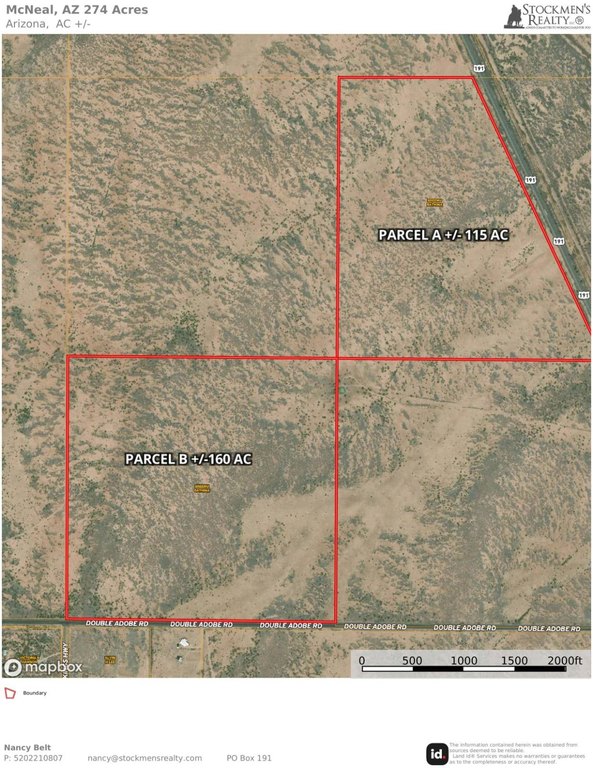
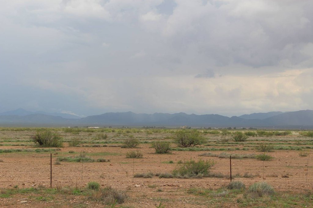
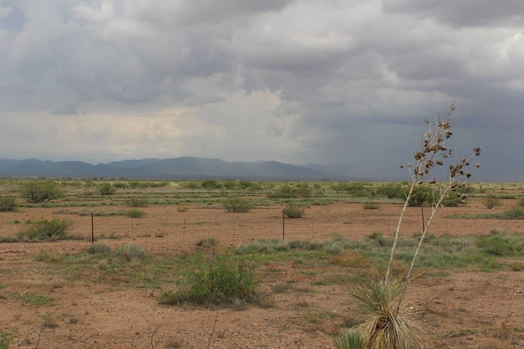
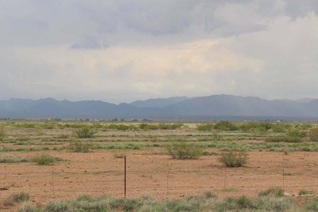
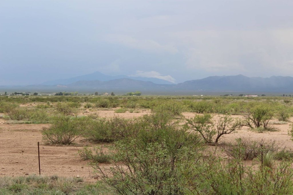
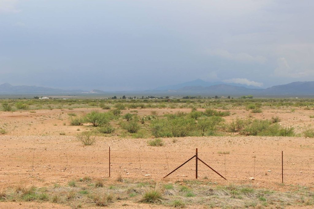
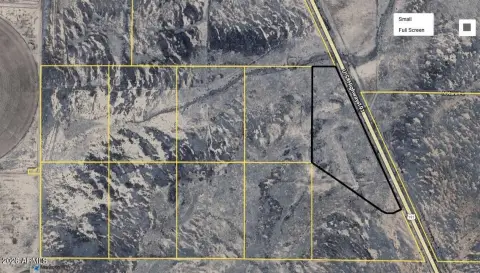
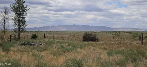
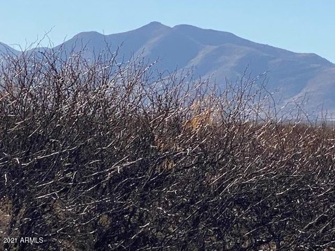
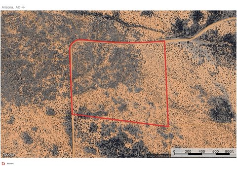
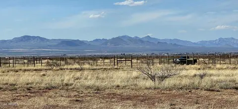
This approximately 275-acre agricultural land holding consists of two contiguous parcels: about 115 acres along U.S. Highway 191 and approximately 160 acres fronting Double Adobe Road. The property is fenced and comprises native range historically used for grazing. It lies within the Douglas Active Water Management Area and has no registered irrigation water rights.
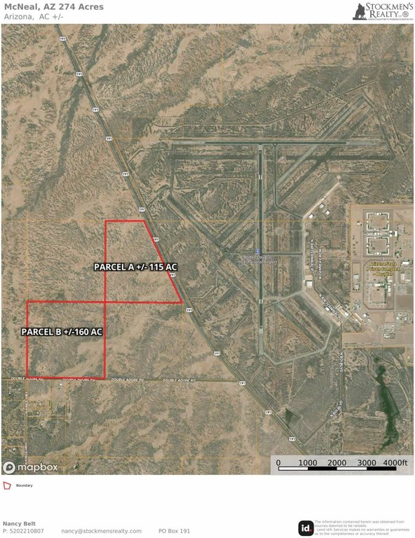
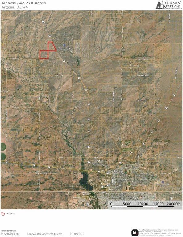
The land is situated at the intersection of U.S. Highway 191 and Double Adobe Road, directly across from Bisbee-Douglas International Airport and approximately 10 miles north of Douglas. Its location is also near the U.S.-Mexico border and the Douglas Commercial Land Port of Entry, where a $328 million expansion is targeted for completion in 2028. The property is identified in the source information as being in Mc Neal, Cochise County, Arizona.
The land is situated at the intersection of U.S. Highway 191 and Double Adobe Road, directly across from Bisbee-Douglas International Airport and approximately 10 miles north of Douglas. Its location is also near the U.S.-Mexico border and the Douglas Commercial Land Port of Entry, where a $328 million expansion is targeted for completion in 2028. The property is identified in the source information as being in Mc Neal, Cochise County, Arizona.
Key Highlights
- Approximately 275+/- acres across two contiguous parcels
- Approximately 115 acres with U.S. Highway 191 frontage
- Approximately 160 acres fronting Double Adobe Road
Property Analytics
Current Use
Location Intelligence
Trade Area within ½ mile
5
Businesses Nearby
Explore this area
Business Placement
Demographics for 85607, AZ
17,738
Population
6,811
Households
2.6
Avg Household Size
35
Median Age
15%
College-Educated
78%
High-School Grad
778.4 sq mi
ZIP Area
23
Density / Sq Mi
$40,576
Median Household Income
$27,474
Median Earnings
$750
Median Rent
$134,000
Median Home Value

Questions? Ask Rey
Realmo’s AI knows this listing — price, zoning, demand, history. Ask anything.




Frequently Asked Questions
What type of property is this?
Agricultural land / Farmland - Native range acreage with frontage on U.S. Highway 191 and Double Adobe Road, near Bisbee-Douglas International Airport.
Where is this agricultural land / farmland located?
The property is located at Highway 191 and Double Adobe Road McNeal, AZ.
What is the asking price?
The asking price for this property is $1,650,000.
What are key features of this property?
This property features: Approximately 275+/- acres across two contiguous parcels; Approximately 115 acres with U.S. Highway 191 frontage; Approximately 160 acres fronting Double Adobe Road


