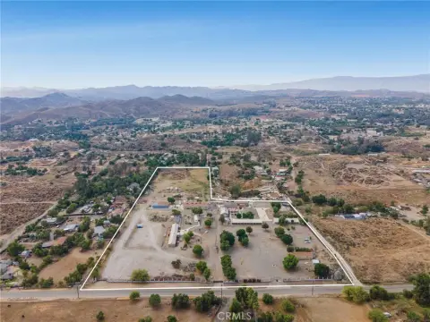
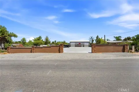
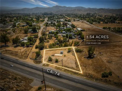
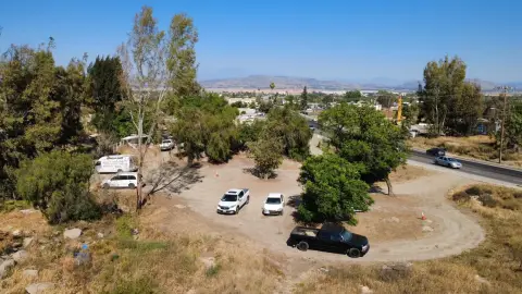
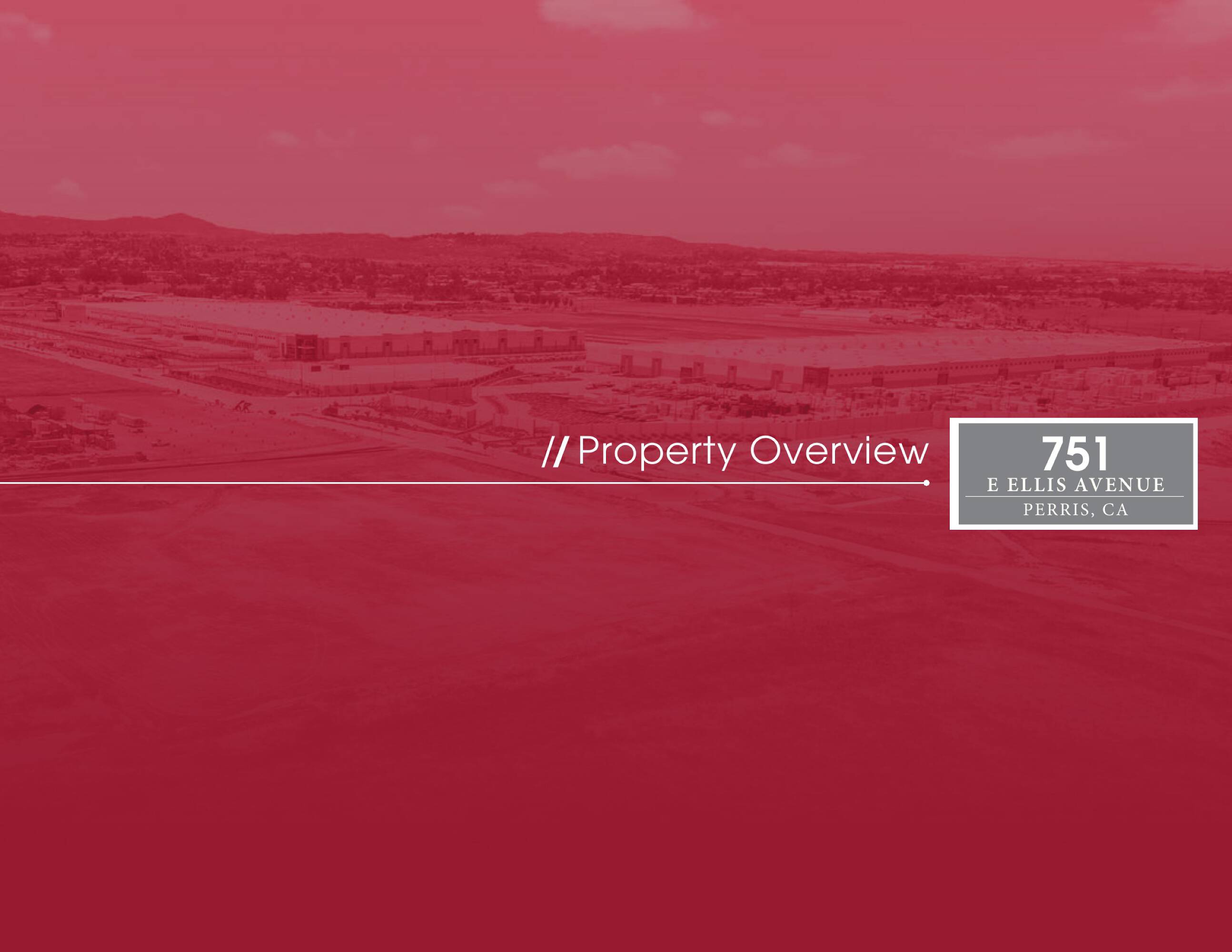
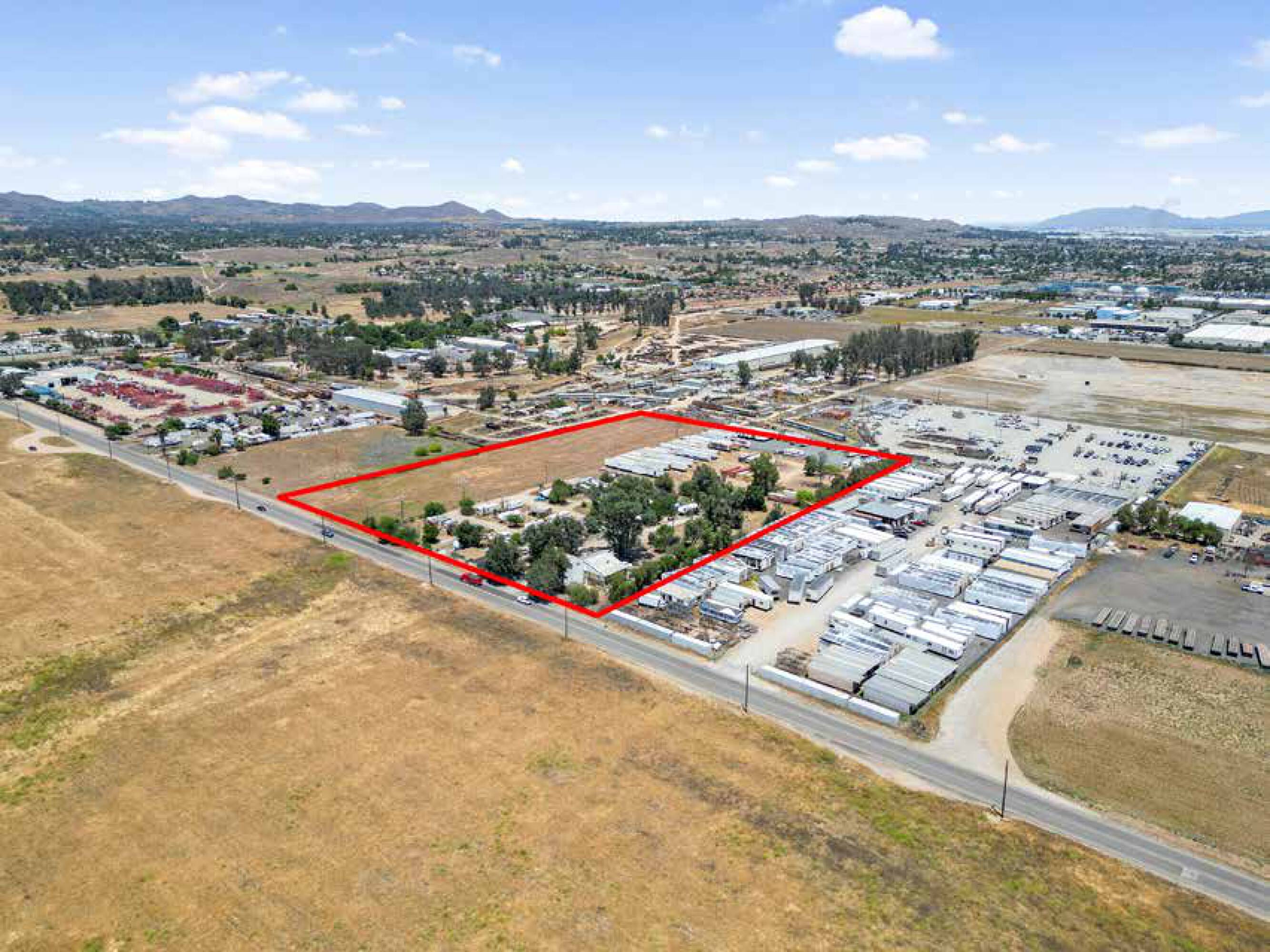
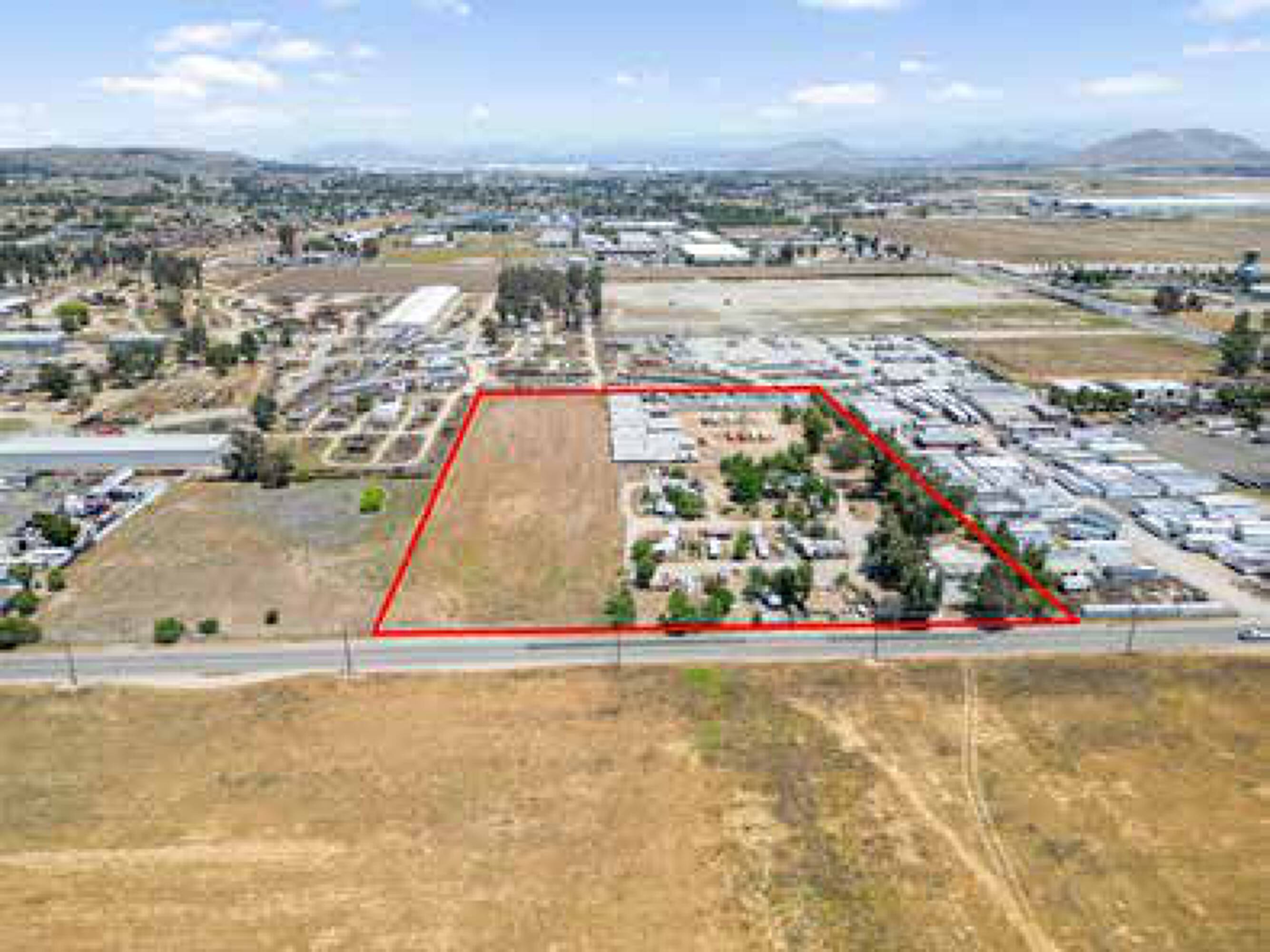
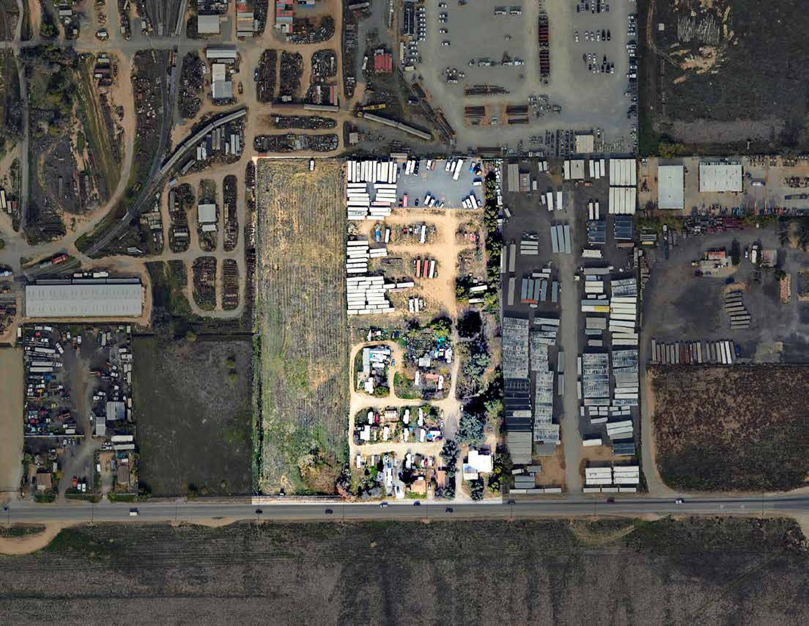
190-220 Mapes Road, Perris, CA 92570
Industrial-zoned land offered in two parcels for logistics and development in the Inland Empire.
- Added:
- Jun 9, 2026
- Days on Market:
- 13
- Last Refresh:
- Jun 20 at 9:20 am
Property Features for 190-220 Mapes Road
General Information
- Standard status
- Active
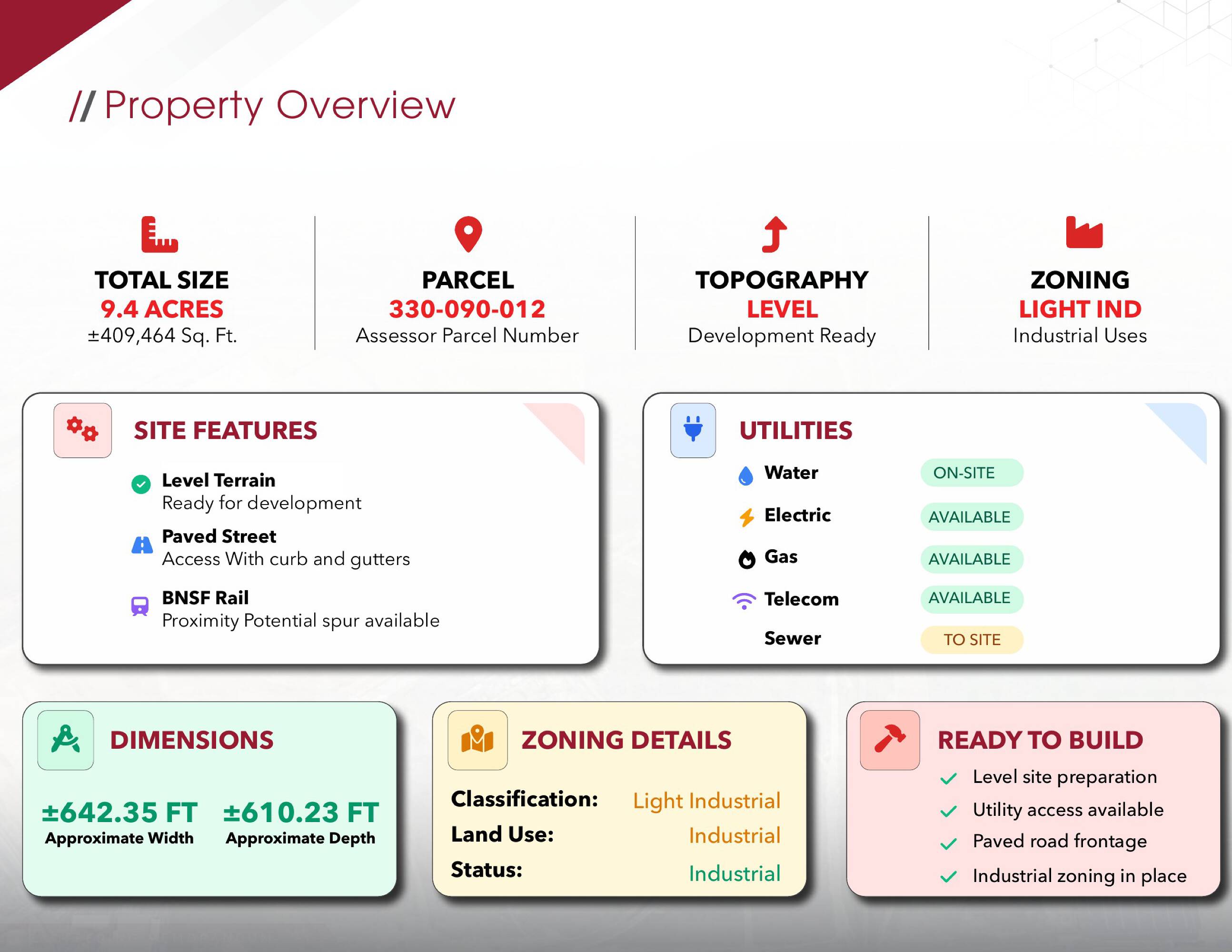
- Size
- 461,301 SF
- Lot size
- 10.59 Acres
- Property subtype
- Industrial, Land
Listing agent Chad Nasir License #02086093
Listing office eXp Realty
Listing date Jun 9, 2026
Source Crexi
Displayed information is deemed reliable but is not guaranteed and should be independently verified.
All listing content including descriptions, pricing, images are the copyrighted material of eXp Realty
HighLights
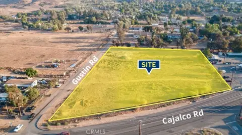
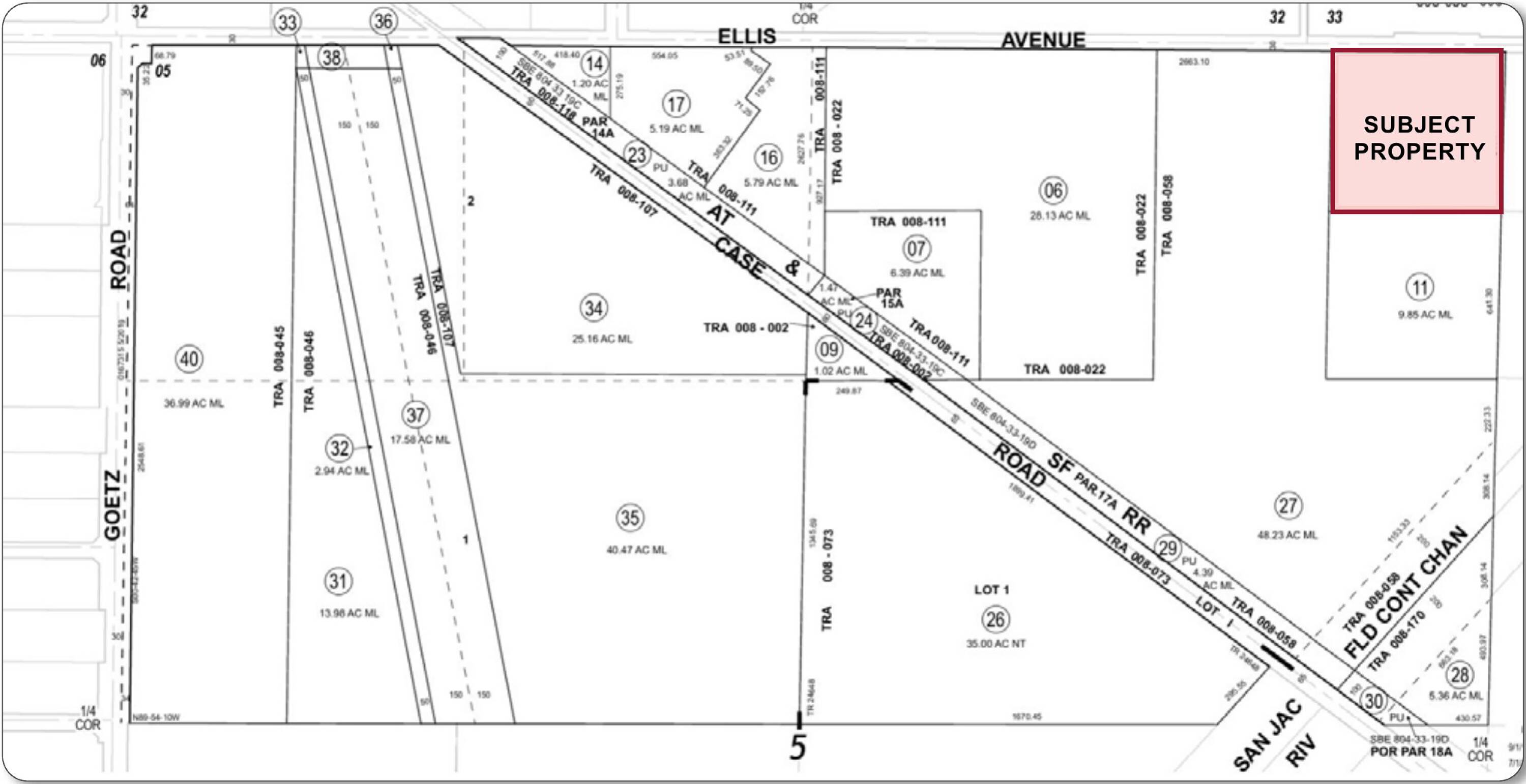
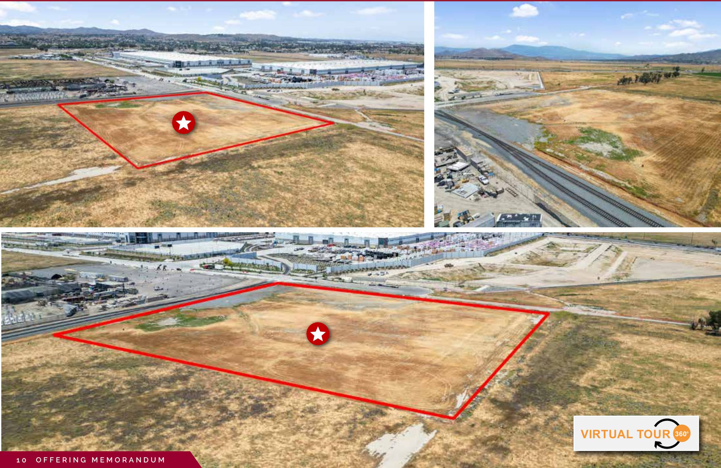
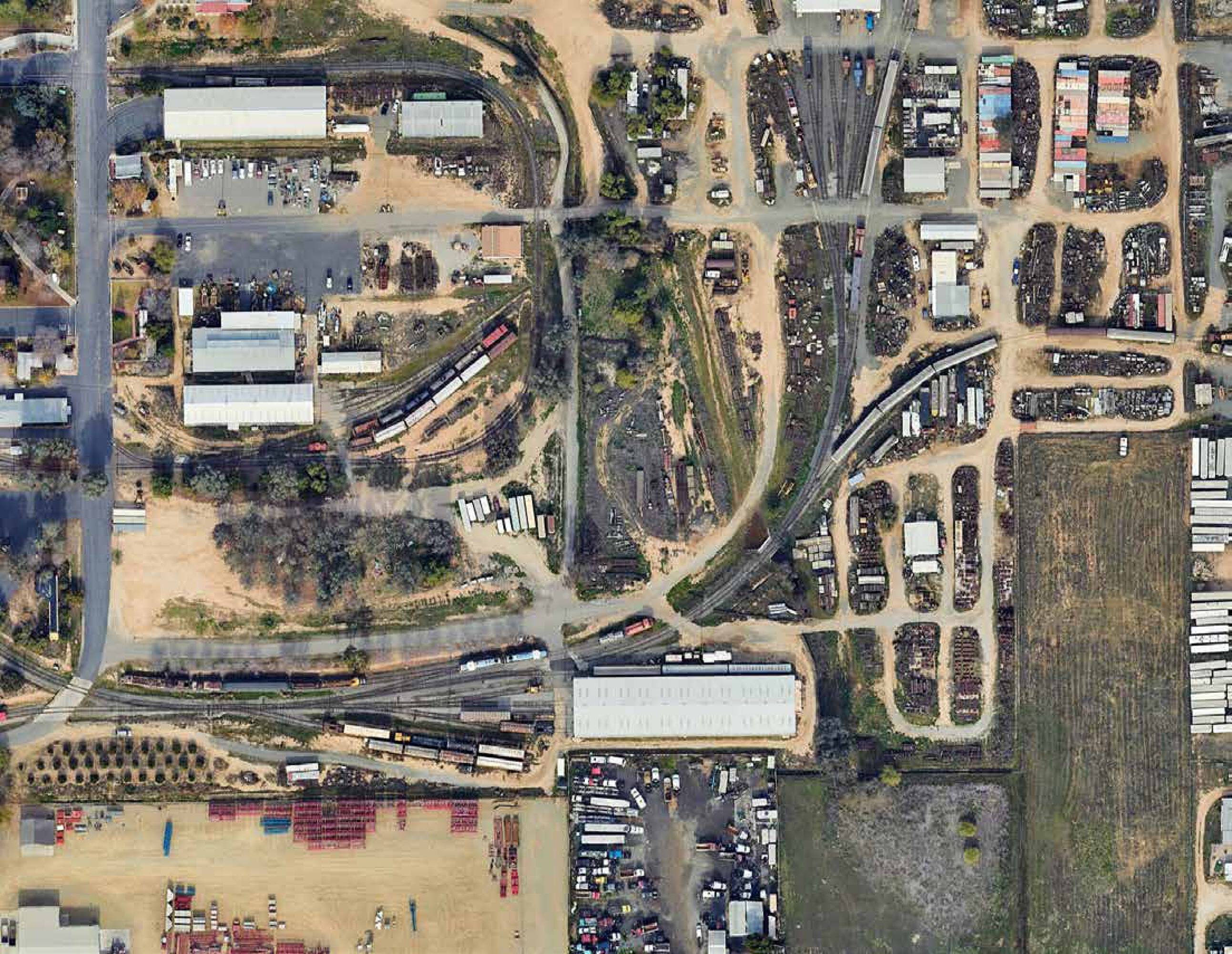
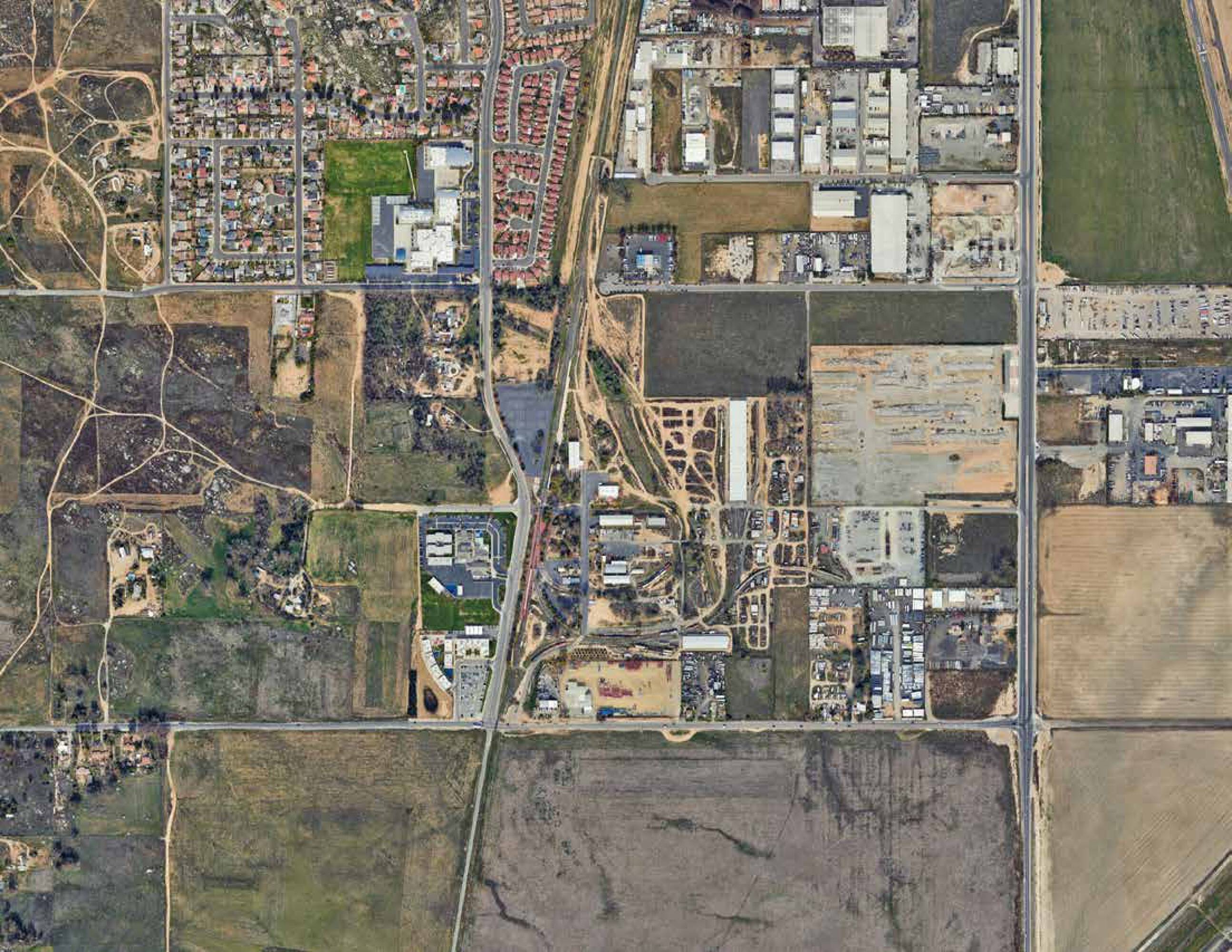
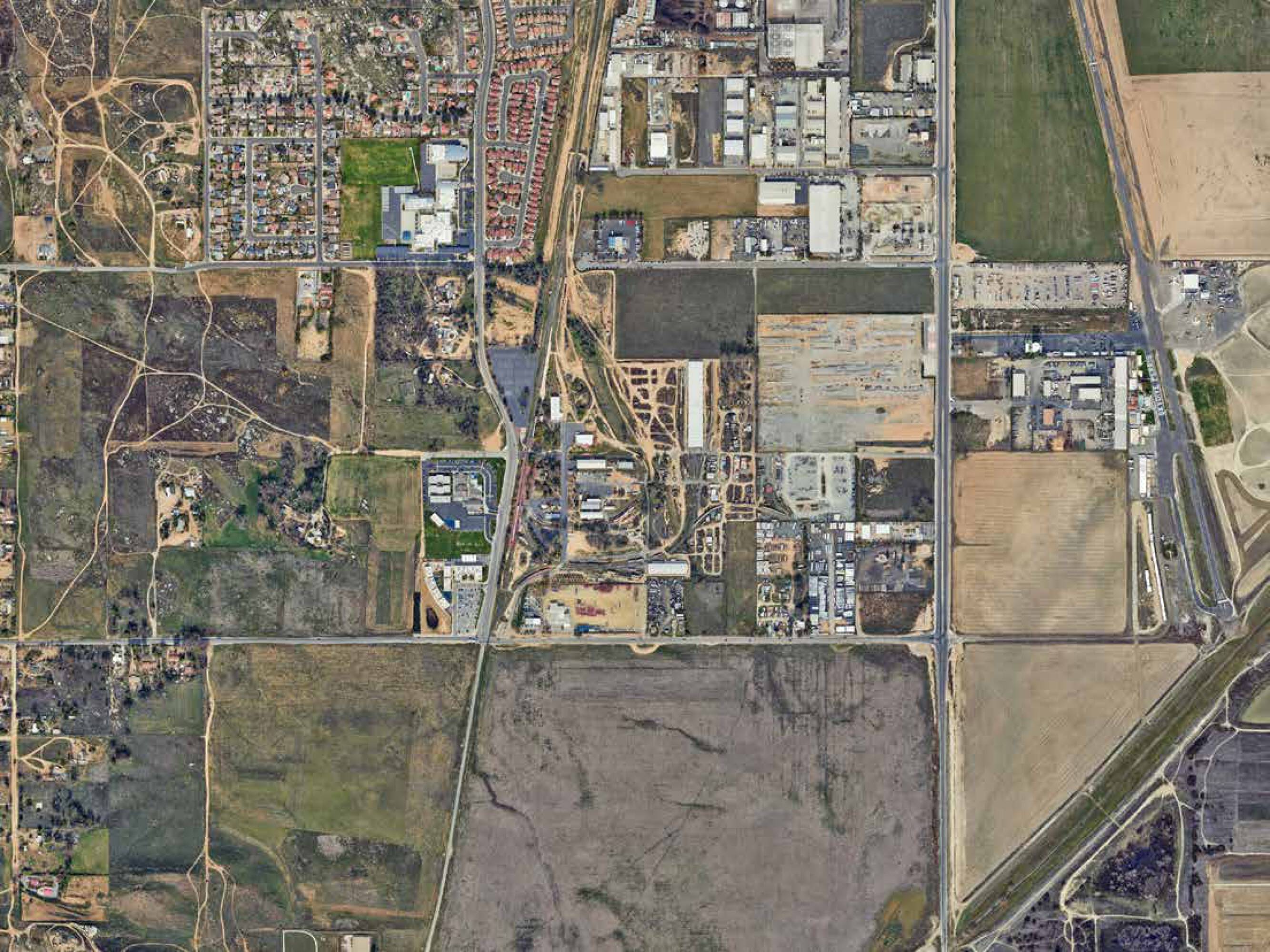
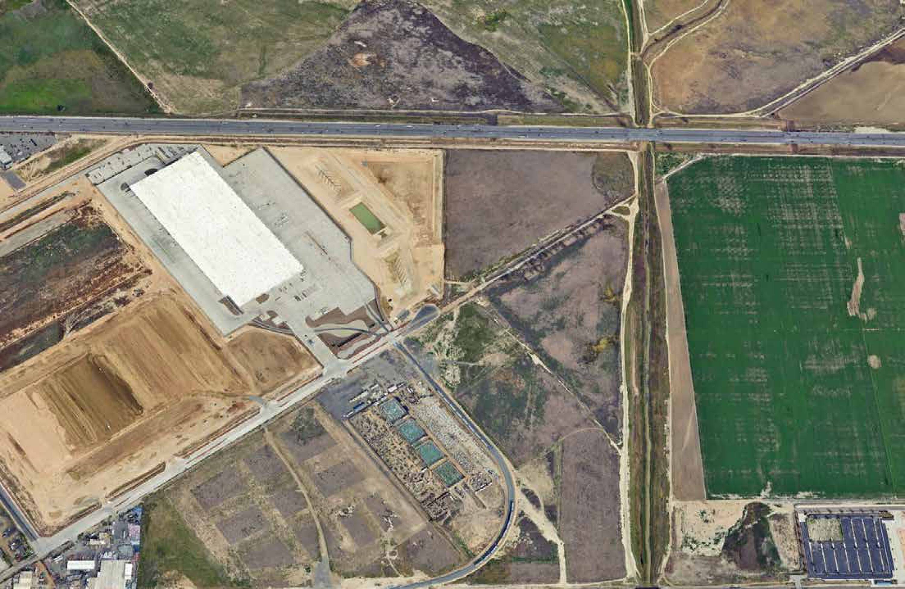
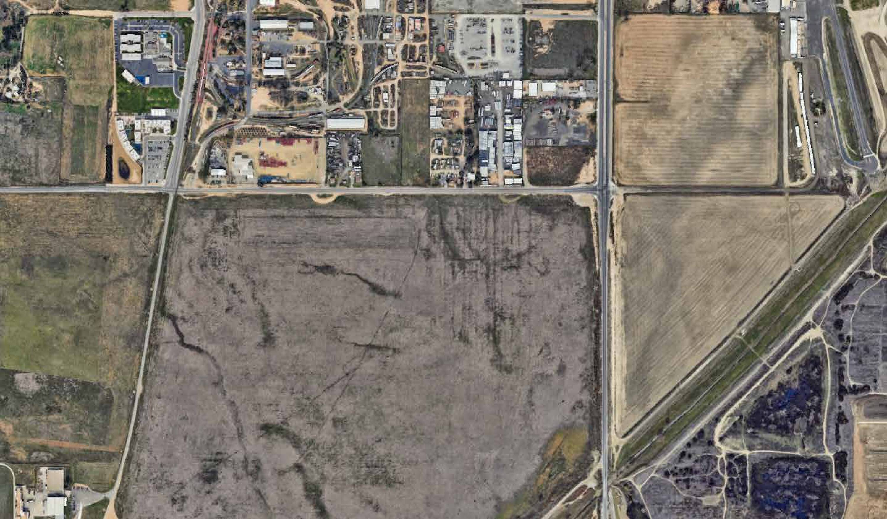
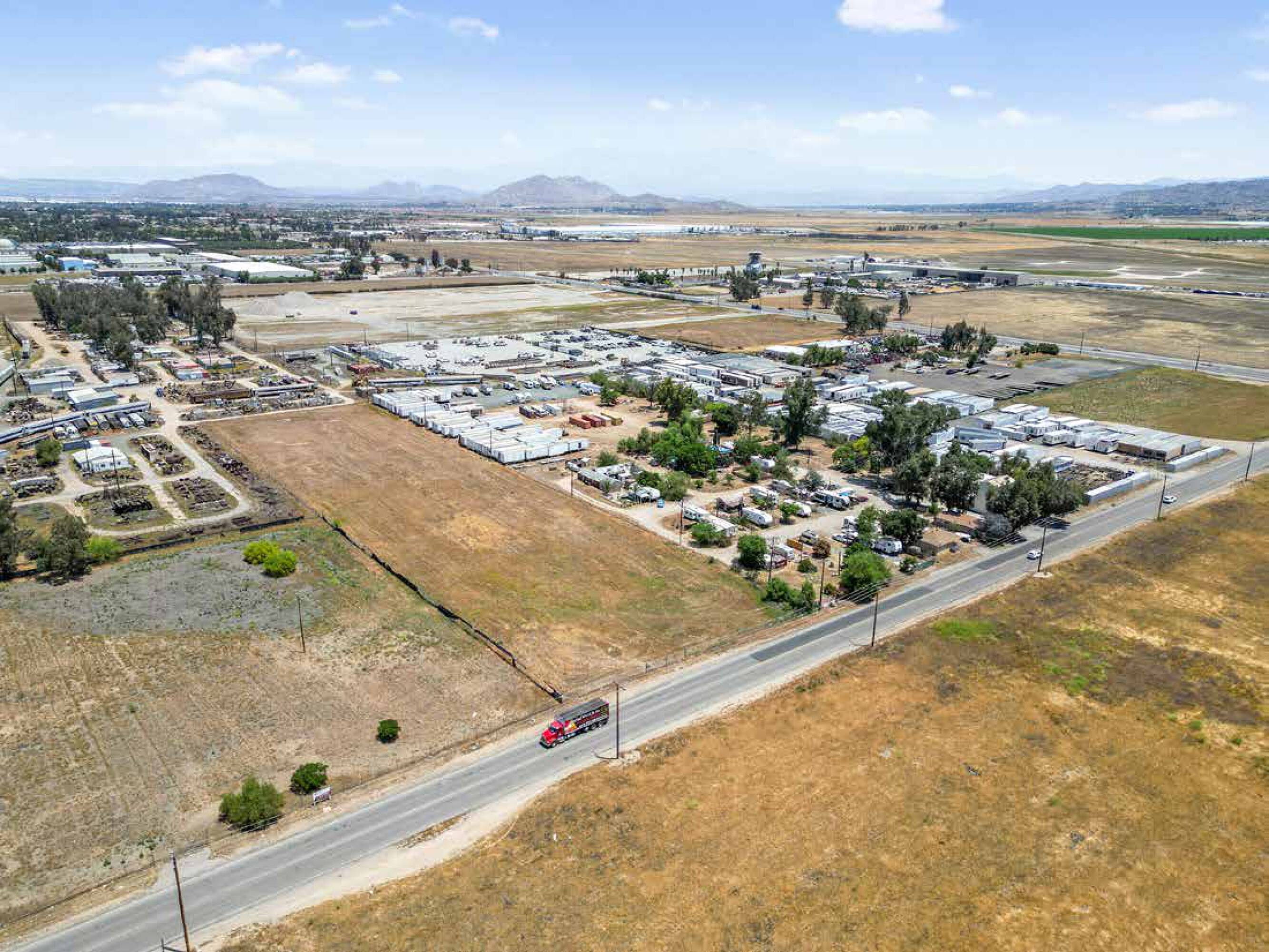
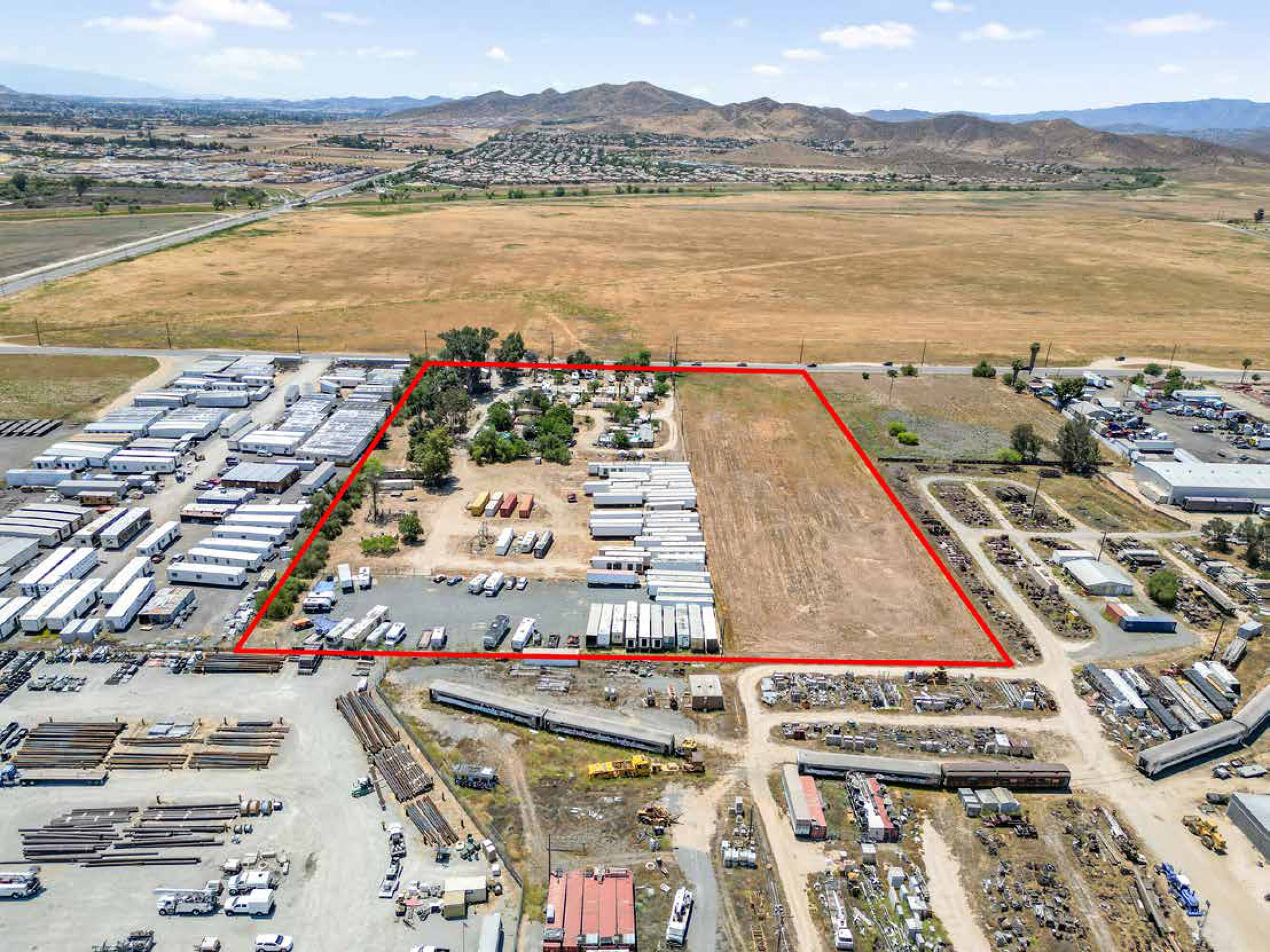
- ±10.59 acres of industrial‑zoned land in Perris, CA
- Offered in two separate parcels: Site A and Site B
- Development‑ready land positioned for logistics and industrial users, developers, and investors
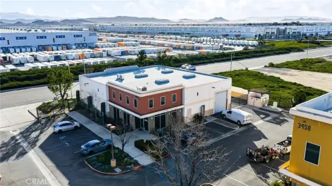
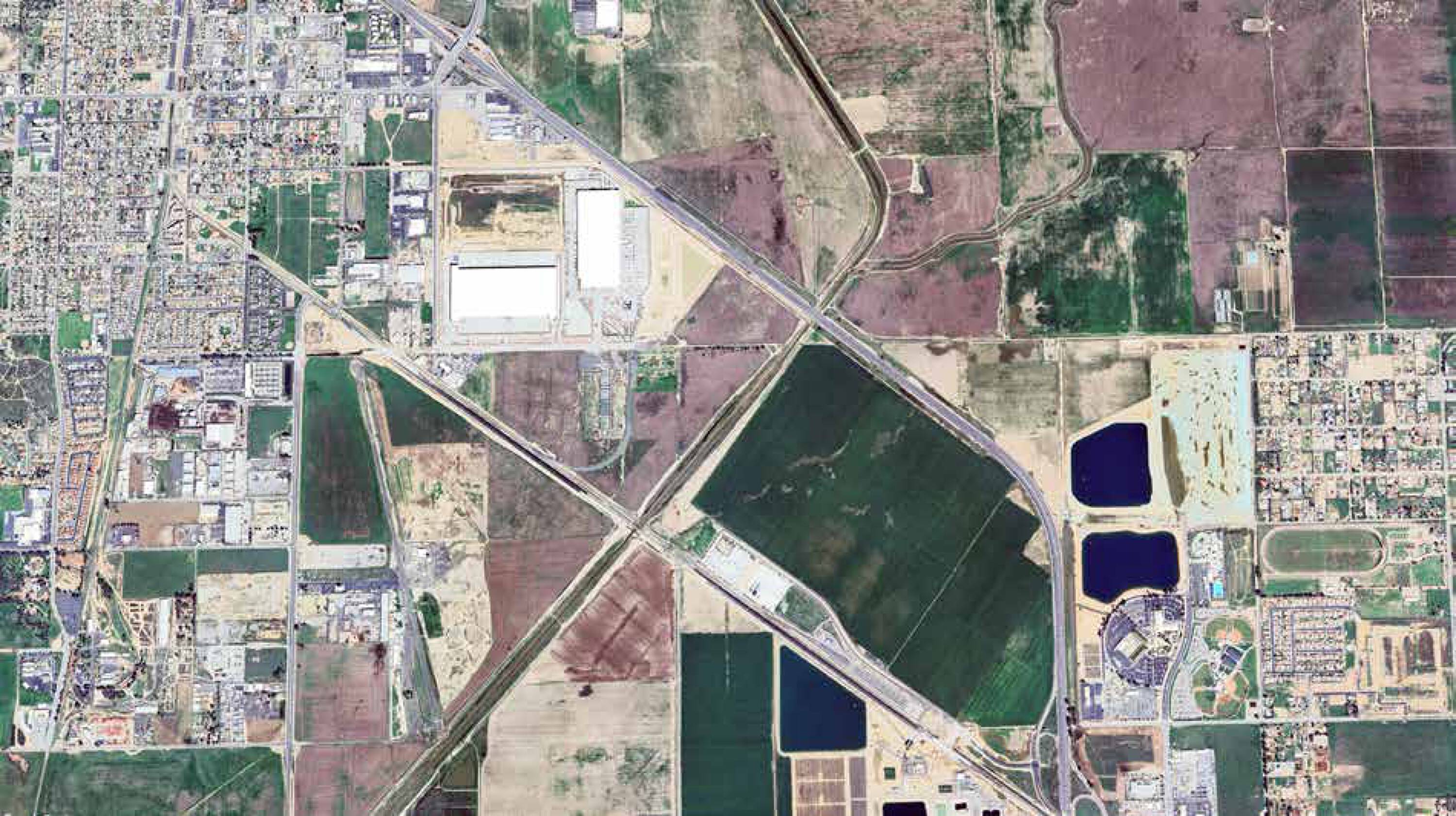
- In the Inland Empire logistics and distribution hub
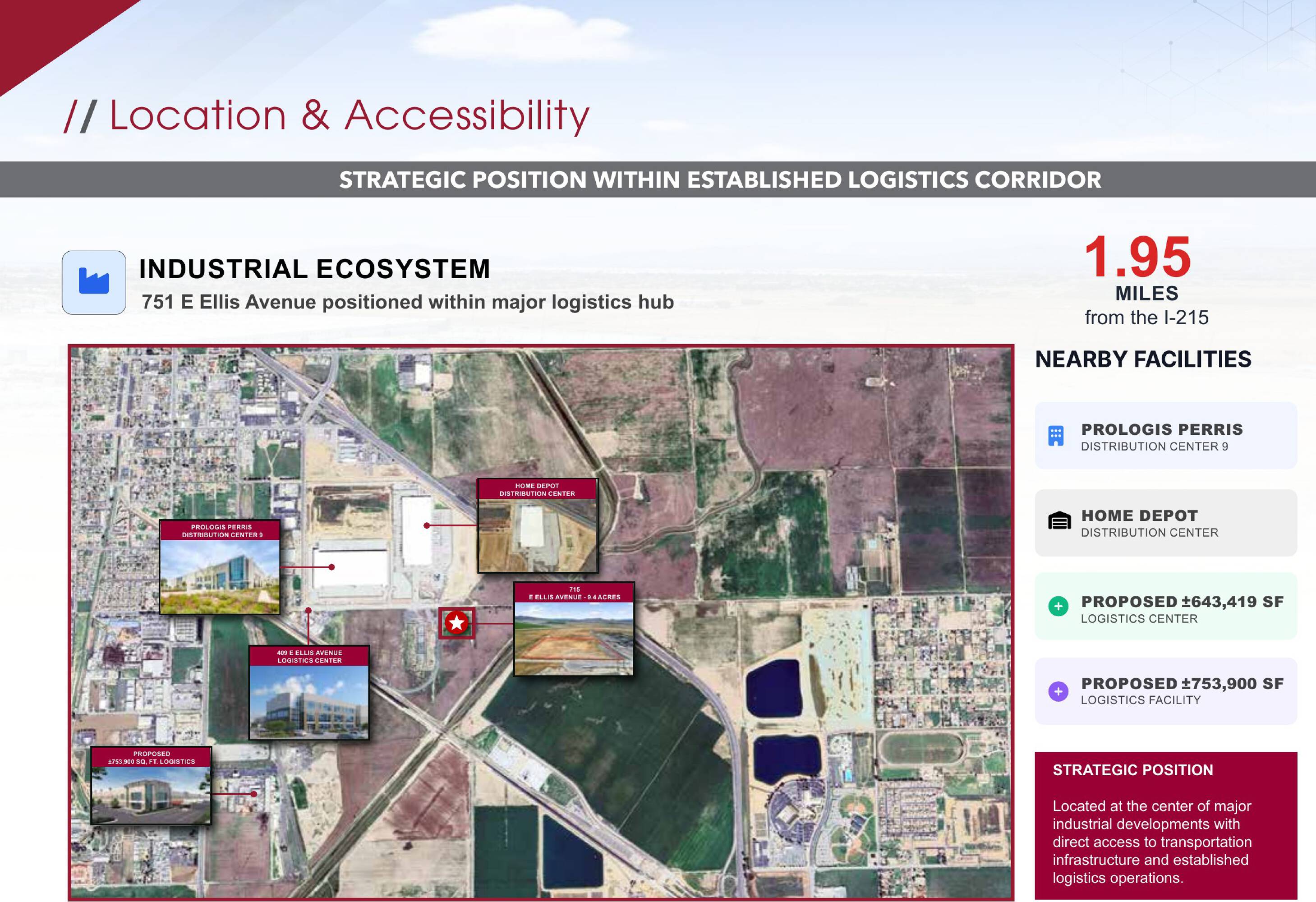
- Over 3.1 million SF of industrial development underway nearby, including a ±753,900 SF logistics facility
Overview
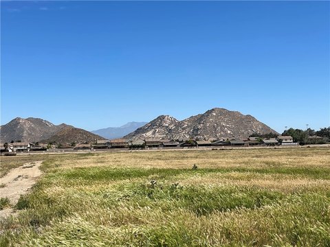
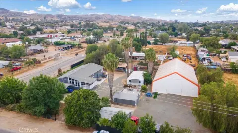
Located in Perris, CA, the site sits within the Inland Empire’s logistics and distribution hub. The surrounding area has seen growth in both industrial and residential sectors, and development activity is ongoing nearby, including a 753,900-square-foot logistics facility and multiple regional distribution centers.
For tenants and developers seeking industrial-zoned land, the two-parcel structure may support phased planning or site-specific programming while keeping the underlying asset as one acquisition opportunity. For investors, the listing’s development-ready status and parcel flexibility can be useful in underwriting different development concepts, depending on end-user requirements and project sequencing.
Current Use by Public Records
Location Insight
- Map
- Local Demand
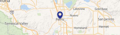
- City
- Perris
- County
- Riverside
- State
- California
- Longitude
- -117.2275526
- Latitude
- 33.7584763