1840 Lakemoor Drive, Florissant, CO 80816


- Added:
- Apr 22, 2026
- Days on Market:
- 53
- Last Refresh:
- Jun 13 at 5:06 am
Property Features for 1840 Lakemoor Drive
General Information
- Property type
- Land
- Property subtype
- Unimproved Land
- Standard status
- Active
- APN
- 1305.181030610
- Lot size
- 5.90 Acres
Utilities
- Water front features
- Stream
Building Details
- Architectural style
- Other
Listing agent Max Engelhardt (970) 333-4084
Listing office Engel & Völkers Aspen 533 E Hopkins Ave Ste 101, Aspen, CO (970) 925-8400
Listing date Apr 22, 2026
Copyright © 2026 Engel & Völkers. All rights reserved. All information provided by the listing agent/broker is deemed reliable but is not guaranteed and should be independently verified.
HighLights
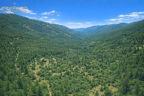
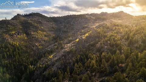
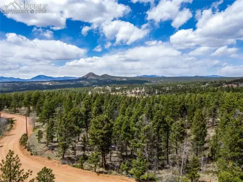
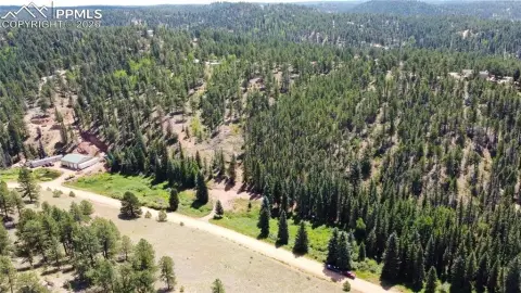
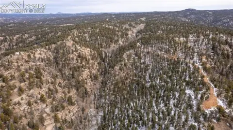
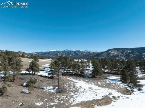
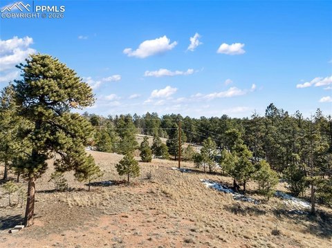
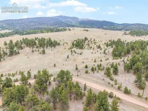
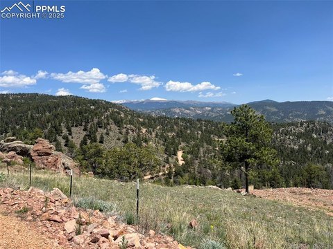
- Stream waterfront with a meandering canyon creek for fishing and gold panning
- Flat lot with rock outcroppings and views up the valley
- Fishing noted for rainbow trout, brown trout, and brookies; miles of creek fishing
- Adjacent to Bureau of Land Management property
- Easy access to Eleven Mile Reservoir for boating, recreation, and fishing
- New survey completed with pins and markers; 20 minutes to Cripple Creek and 30 minutes to Victor
Overview
The land is positioned adjacent to Bureau of Land Management property and is described as having miles of creek fishing. Access to Eleven Mile Reservoir is described as easy, supporting boating and additional fishing and recreation opportunities. The property is located in Florissant, in Teller County, Colorado, with drive times noted to Cripple Creek and Victor.
For practical use, the property is presented as a fit for buyers seeking a creek-oriented recreational basecamp, with the stream identified as a place to catch Rainbow Trout, Brown Trout, or Brookies. It may also fit agricultural or lifestyle uses such as hay production, grazing, or horse pasture. The listing also references gold panning in the creek. With direct creek character, BLM adjacency, and survey control already in place, this is a straightforward option for buyers prioritizing recreational land, privacy, and flexible use planning.
Current Use by Public Records
Map
- City
- Florissant
- County
- Teller
- State
- Colorado
- Longitude
- -105.264592
- Latitude
- 38.751824