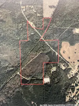
NW1/4 NW1/4 Section 28 Township 17S Range 18W, El Dorado, AR 71730
- Added:
- Dec 11, 2025
- Days on Market:
- 192
- Last Refresh:
- Jun 21 at 8:06 pm
Property Features for NW1/4 NW1/4 Section 28 Township 17S Range 18W
General Information
- Property type
- Land
- Property subtype
- Other
- Standard status
- Active
- Lot size
- 40.00 Acres
Taxes and HOA fees
- Tax Description
- NW NW 40ac #963257 014626
- Tax Annual Amount
- 55
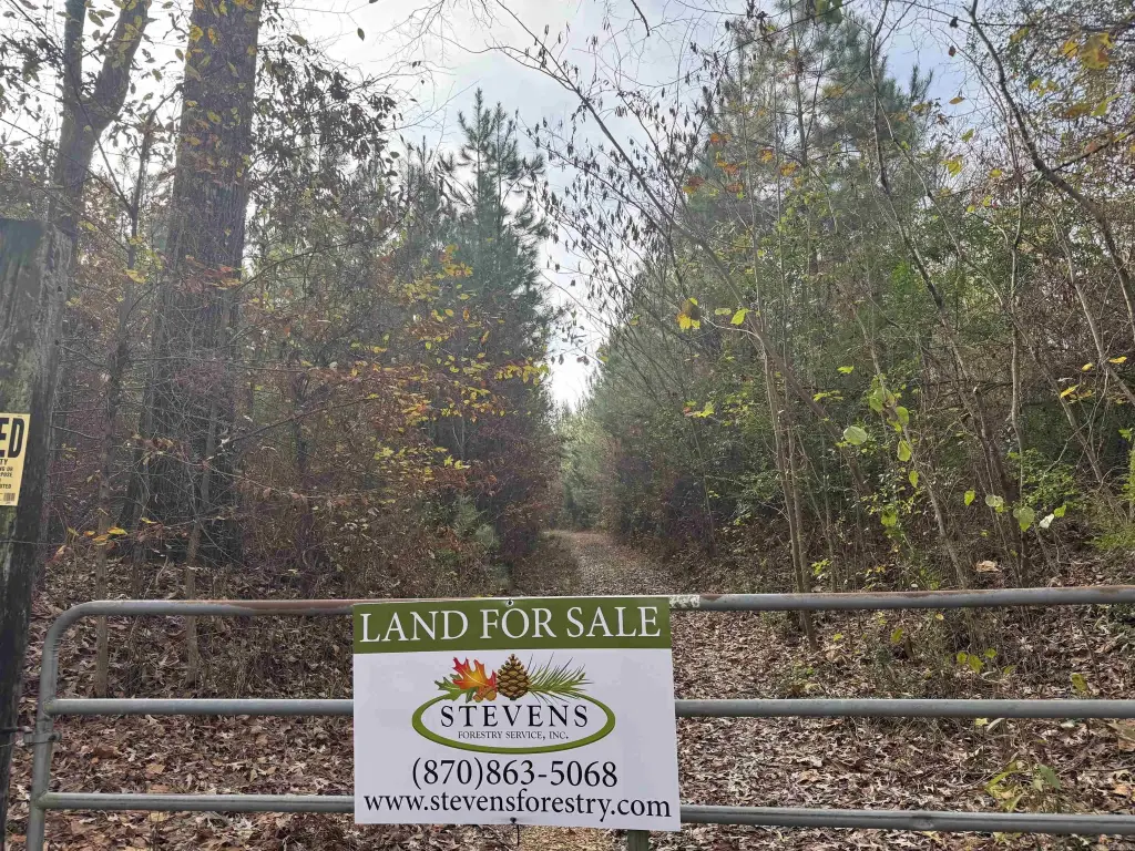
Listing agent Eric Clapp (870) 310-5228
Listing office Stevens Forestry Service, Inc. 100 W Sharp, El Dorado, AR (870) 863-5068
Listing date Dec 11, 2025
Copyright © 2026 Cooperative Arkansas Realtors Multiple Listing Service. All rights reserved. All information provided by the listing agent/broker is deemed reliable but is not guaranteed and should be independently verified.
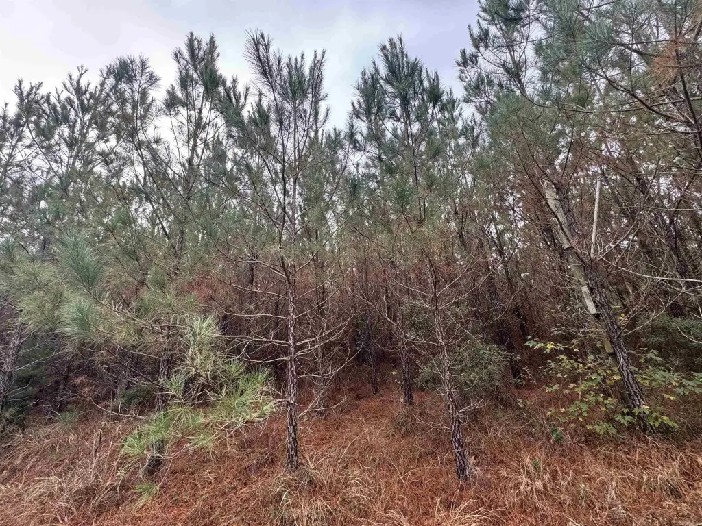
HighLights
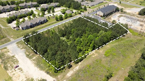
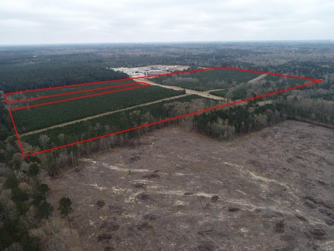
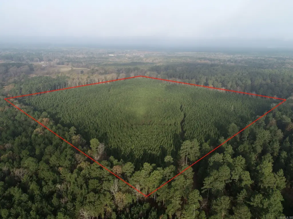
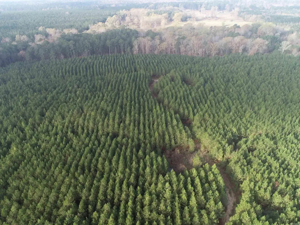
- Undeveloped land about 5 miles east of El Dorado
- Convenient access from Union County Road 37 off East Main (HWY 63)
- Gently rolling to generally flat topography
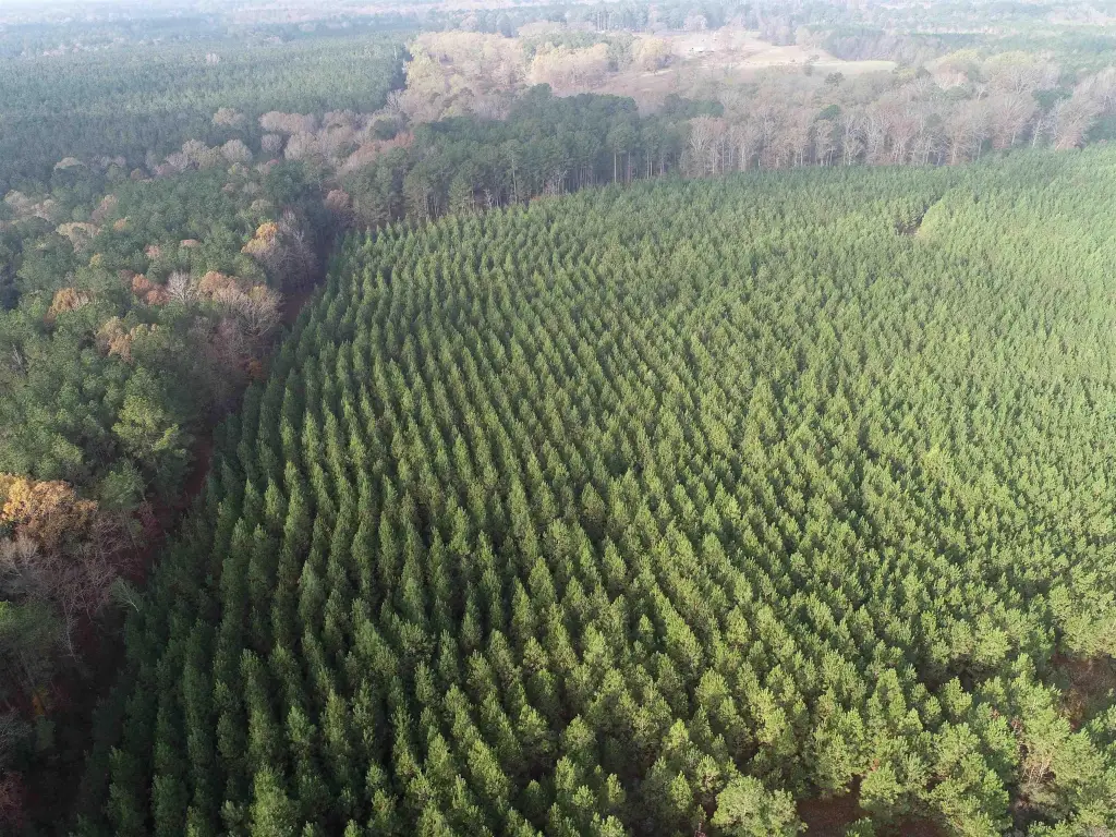
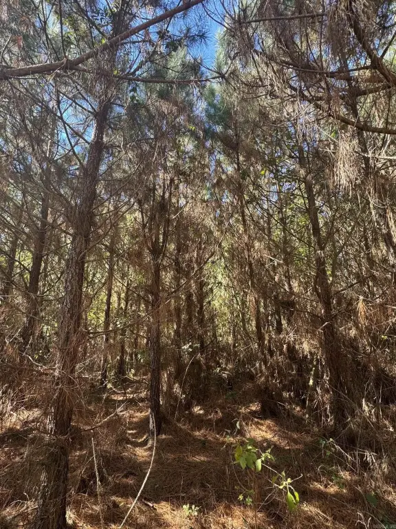
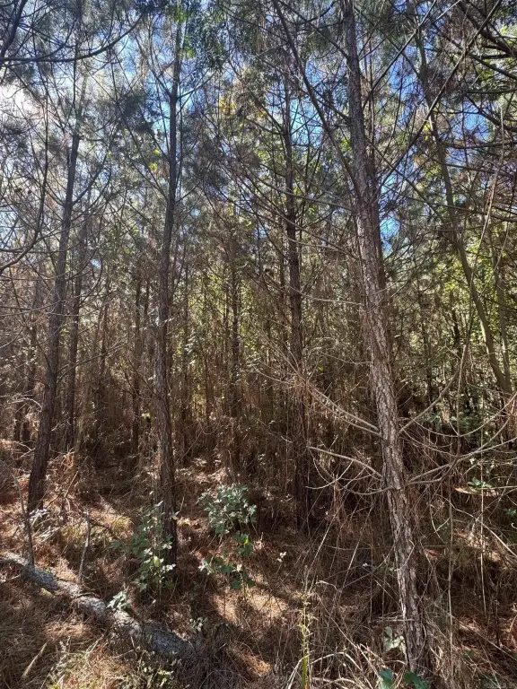
- Established 10‑year‑old even‑aged pine stand
Overview
The acreage is located approximately five miles east of El Dorado, with convenient access from Union County Road 37 off East Main (HWY 63). The parcel is described as NW1/4 NW1/4, Section 28, Township 17S, Range 18W in Union County, Arkansas.
With its mix of usable terrain and an existing pine stand, the property can fit buyers seeking a country-style tract outside the city while keeping access via a county road off a primary highway route. It also provides a straightforward starting point for purchasers who want to shape future land use around the existing timber coverage.
Current Use by Public Records
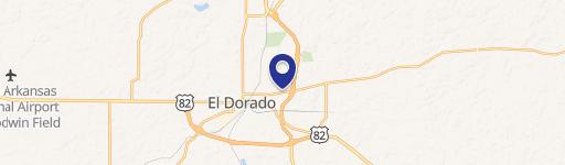
Map
- City
- El Dorado
- County
- Union
- State
- Arkansas
- Longitude
- -92.5598668
- Latitude
- 33.2182127