Recreation & Ranch Land with Road
1689 fm May, TX 76857
1689 fm, May, TX, 76857
$385,000
For Sale
$385,000
LAND - Other - May, TX
Lot Size55.00 Acres
Days on Market192
Property Features for 1689 fm
General Information
- Property type
- Land
- Property subtype
- Other
- Standard status
- Active
- APN
- 000020002659
- Lot size
- 55.00 Acres
Taxes and HOA fees
- Tax Description
- B B B & C R R CO, SURVEY 3, ABSTRACT 102, ACR
- Tax Annual Amount
- 2772
Utilities
- Water source
- Well
Building Details
- Architectural style
- Other
Listing agency
UCRE - Tx Home and Ranches RE
(682) 294-1077
Listed by
Ryan Welch · License #711058
(682) 294-1077
Added: Jan 10 Updated: Jun 2 at 10:47PM Checked: Jul 21 at 7:06AM
MLS# 21149627
Copyright © 2026 North Texas Real Estate Information Systems, Inc. All rights reserved. All information provided by the listing agent/broker is deemed reliable but is not guaranteed and should be independently verified.
Investment Insights
Based on property information with market context.
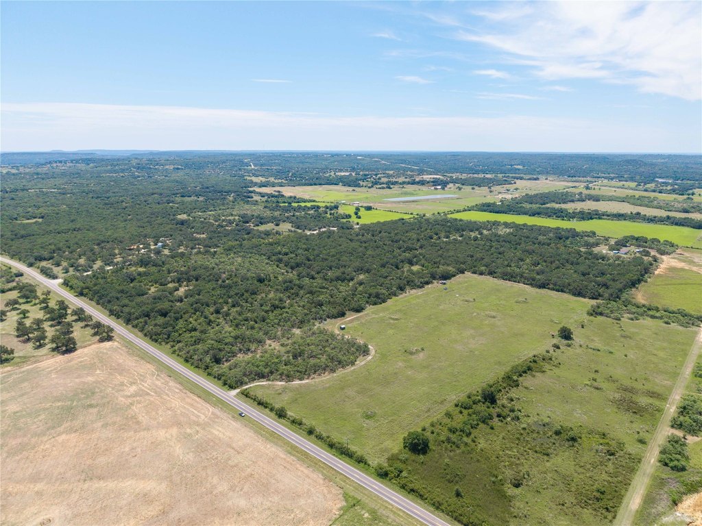
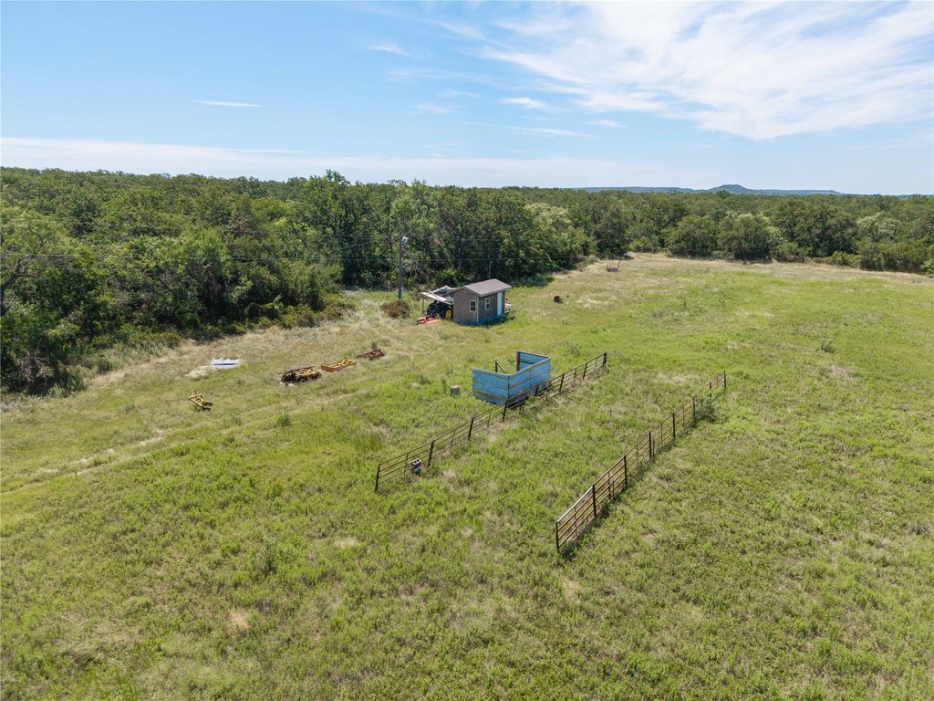
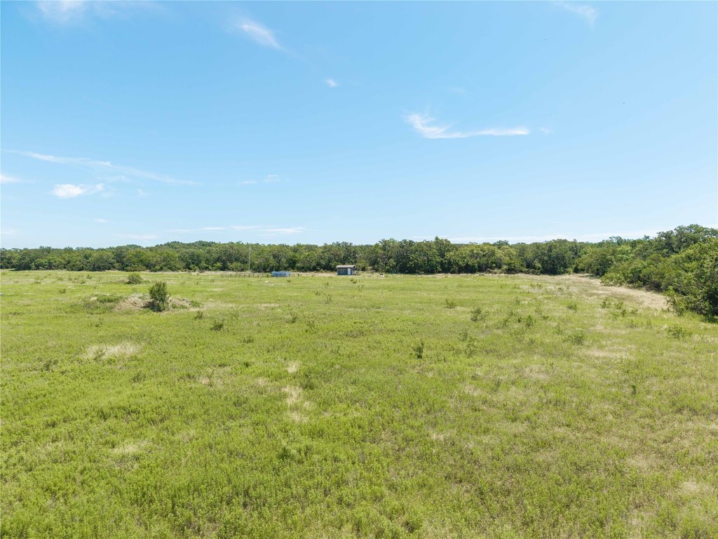
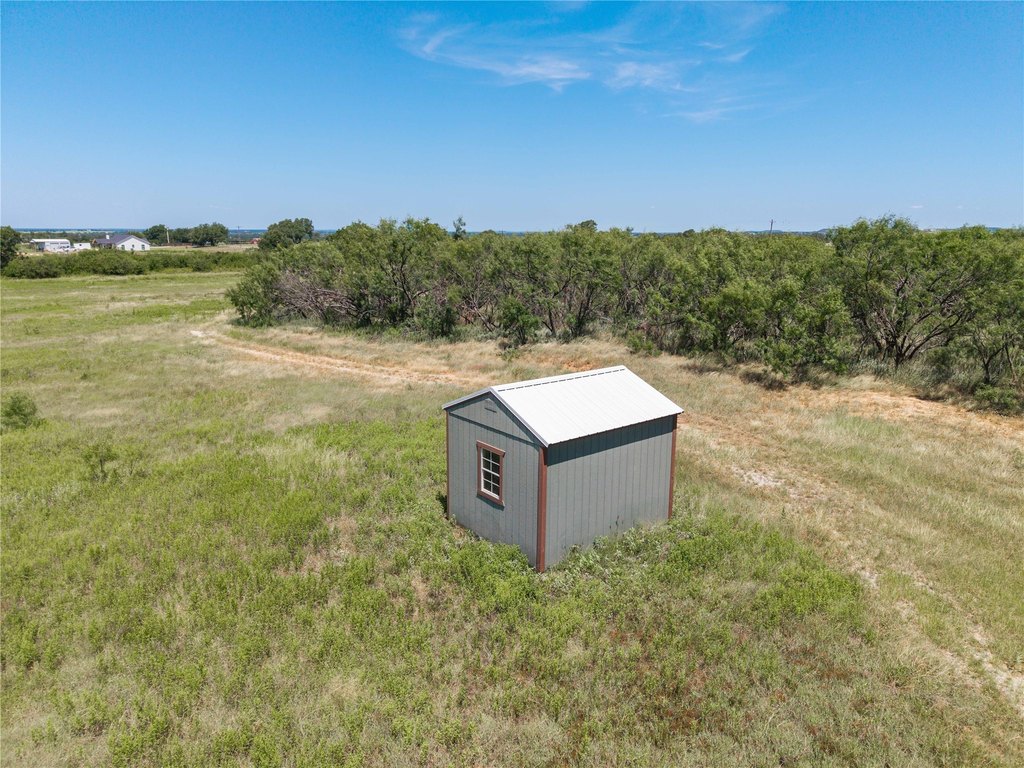
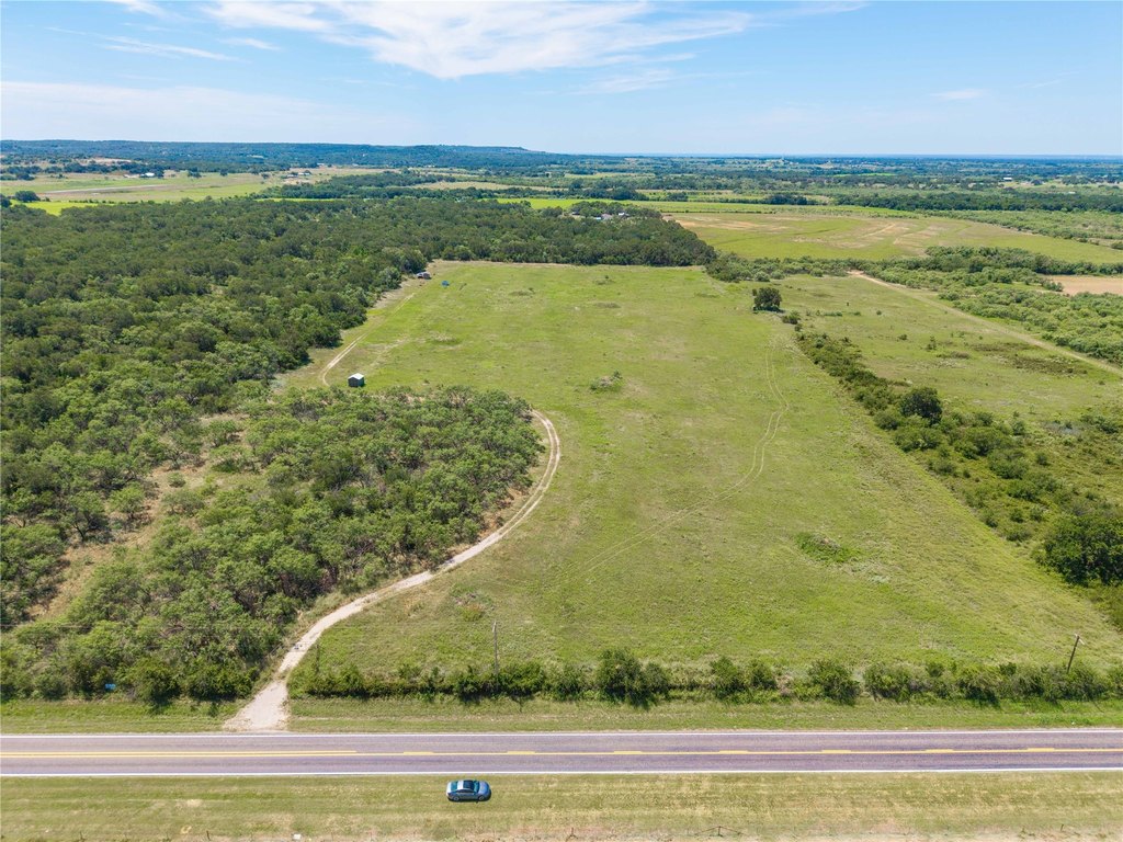
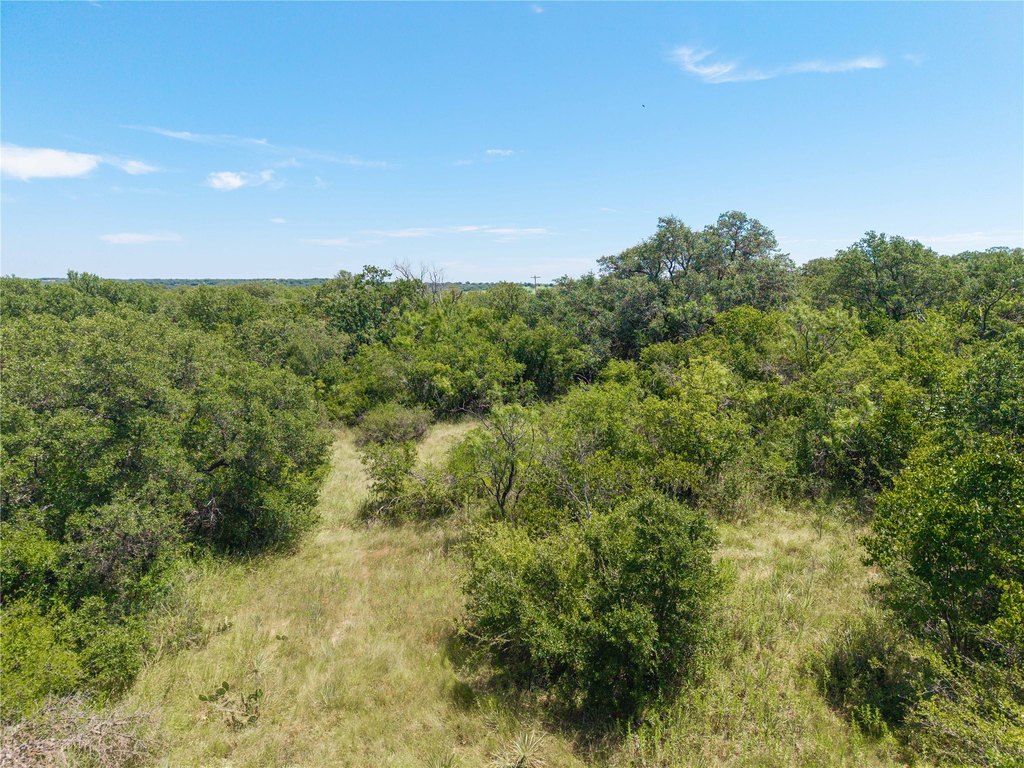
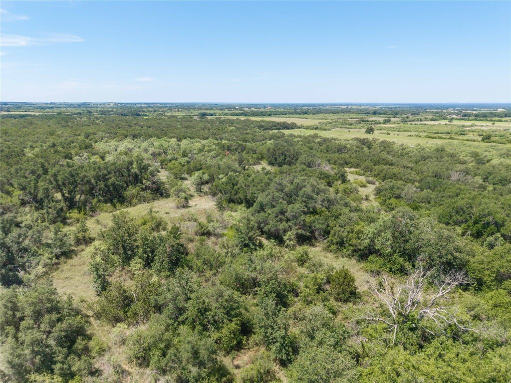
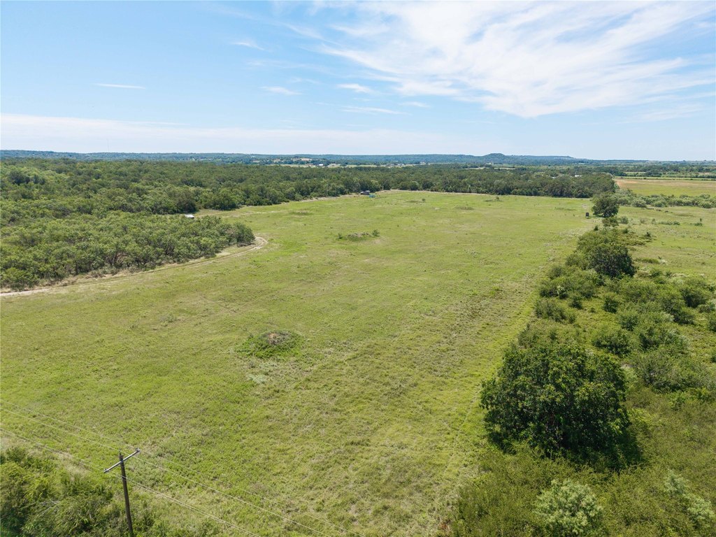
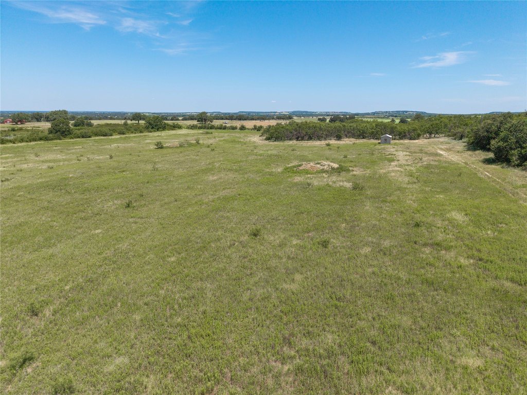
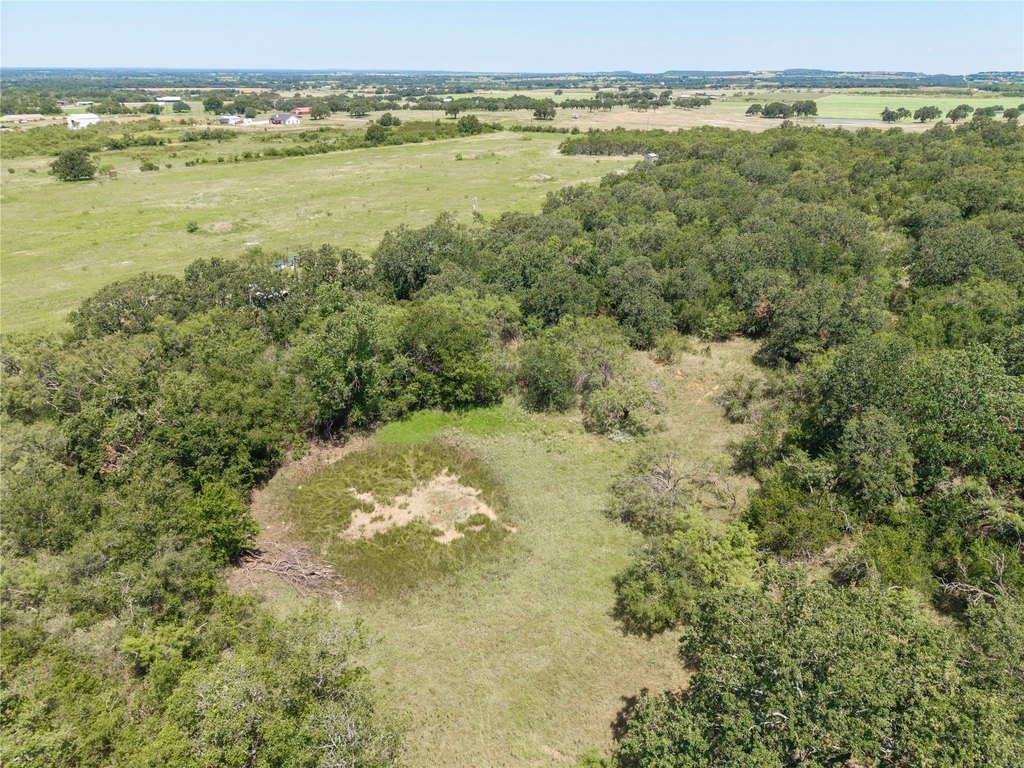
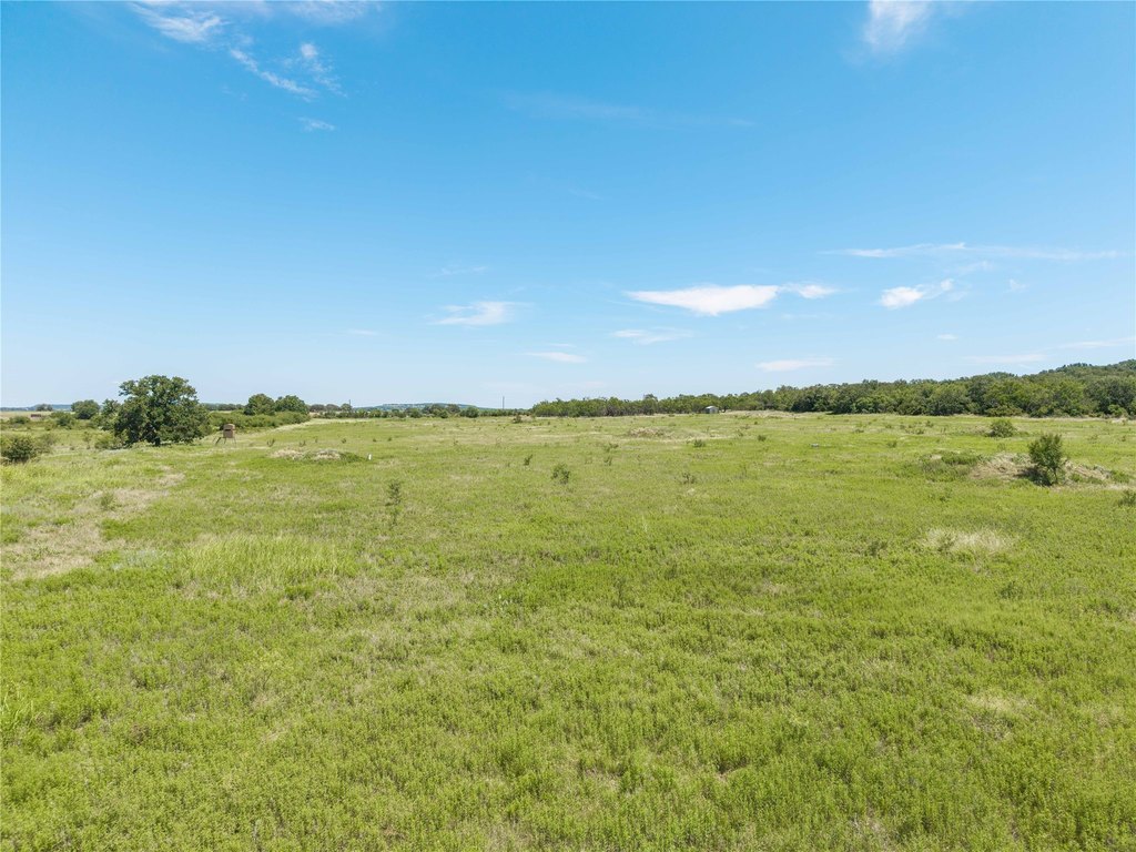
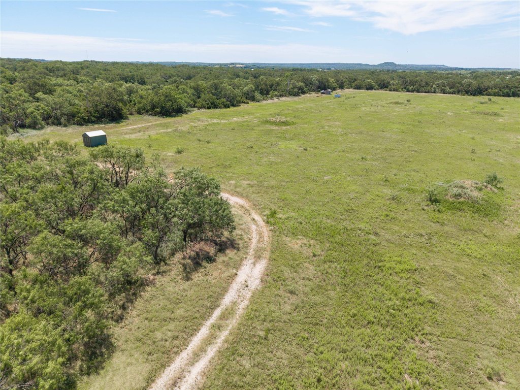
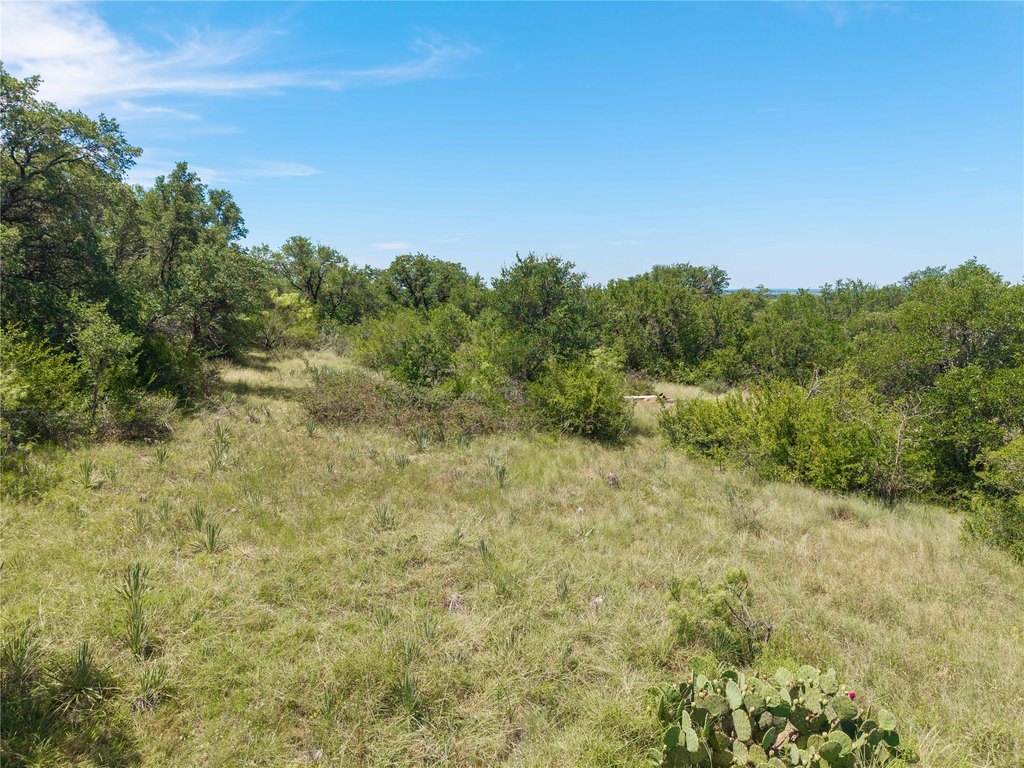
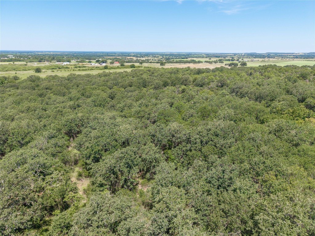
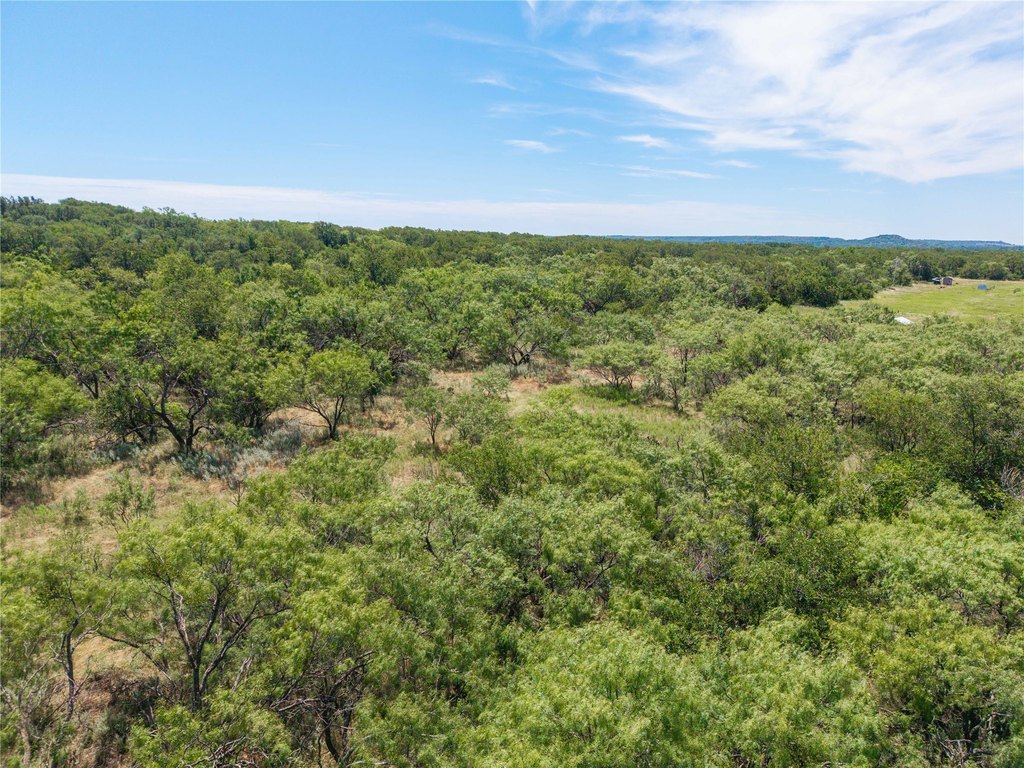
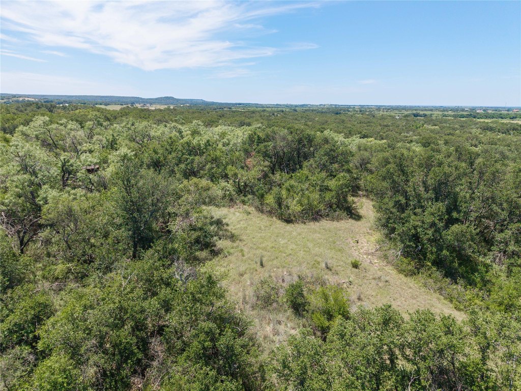
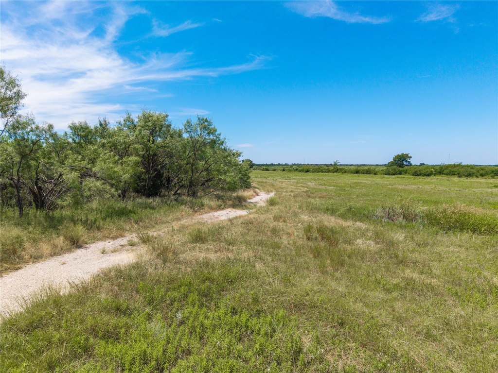
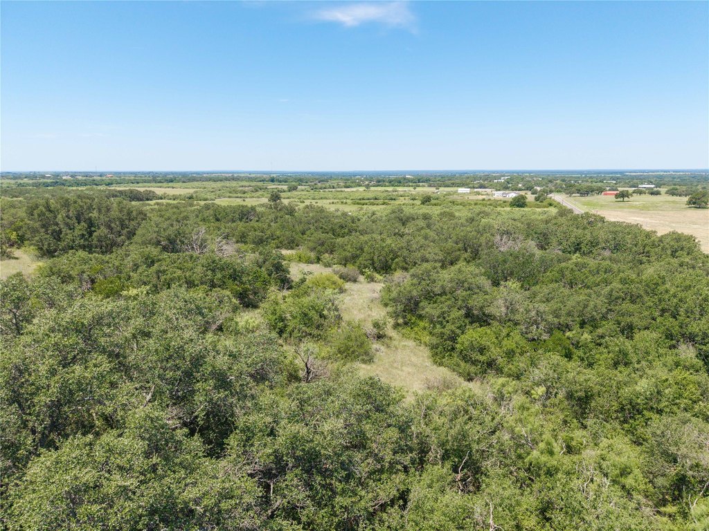
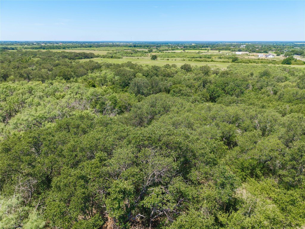
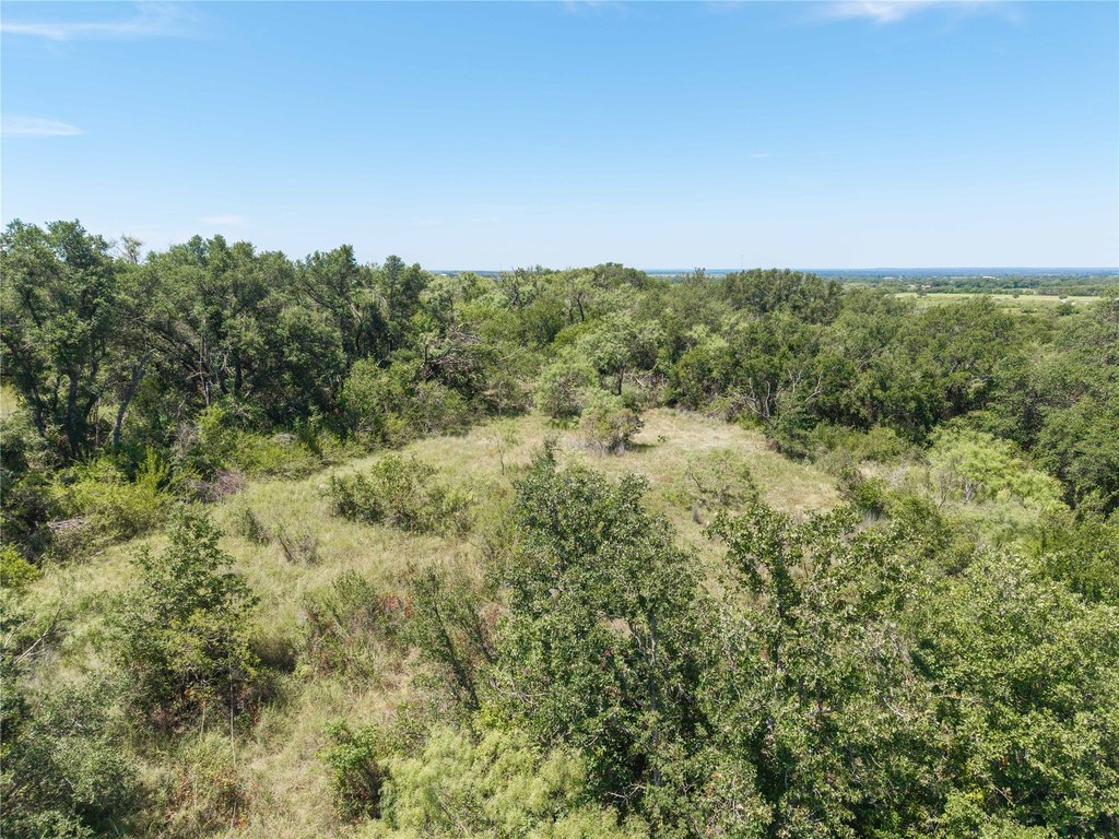
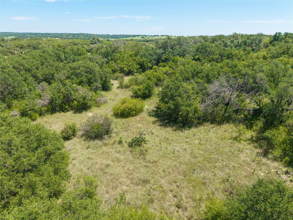
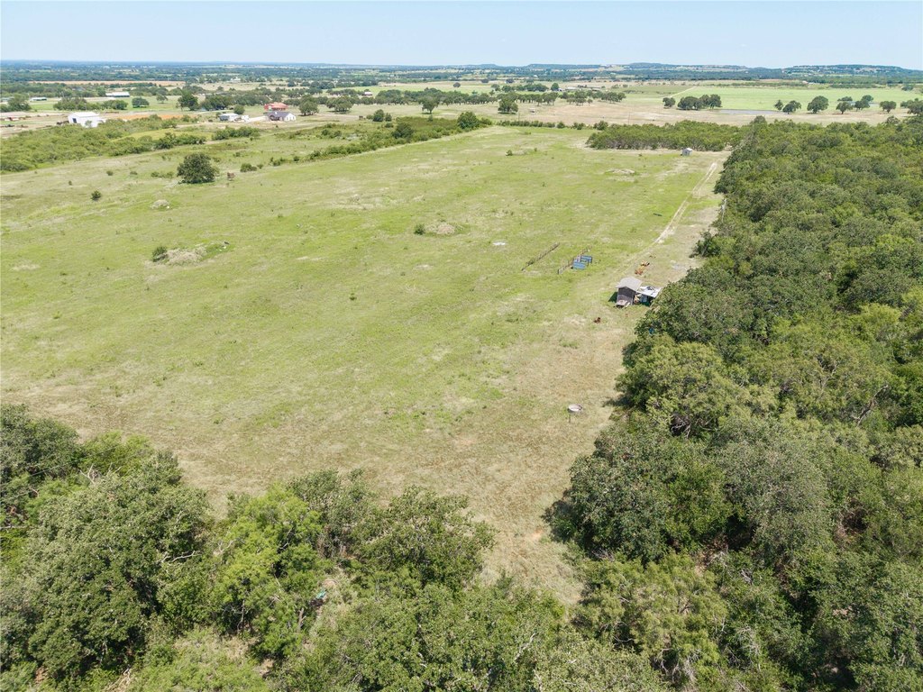
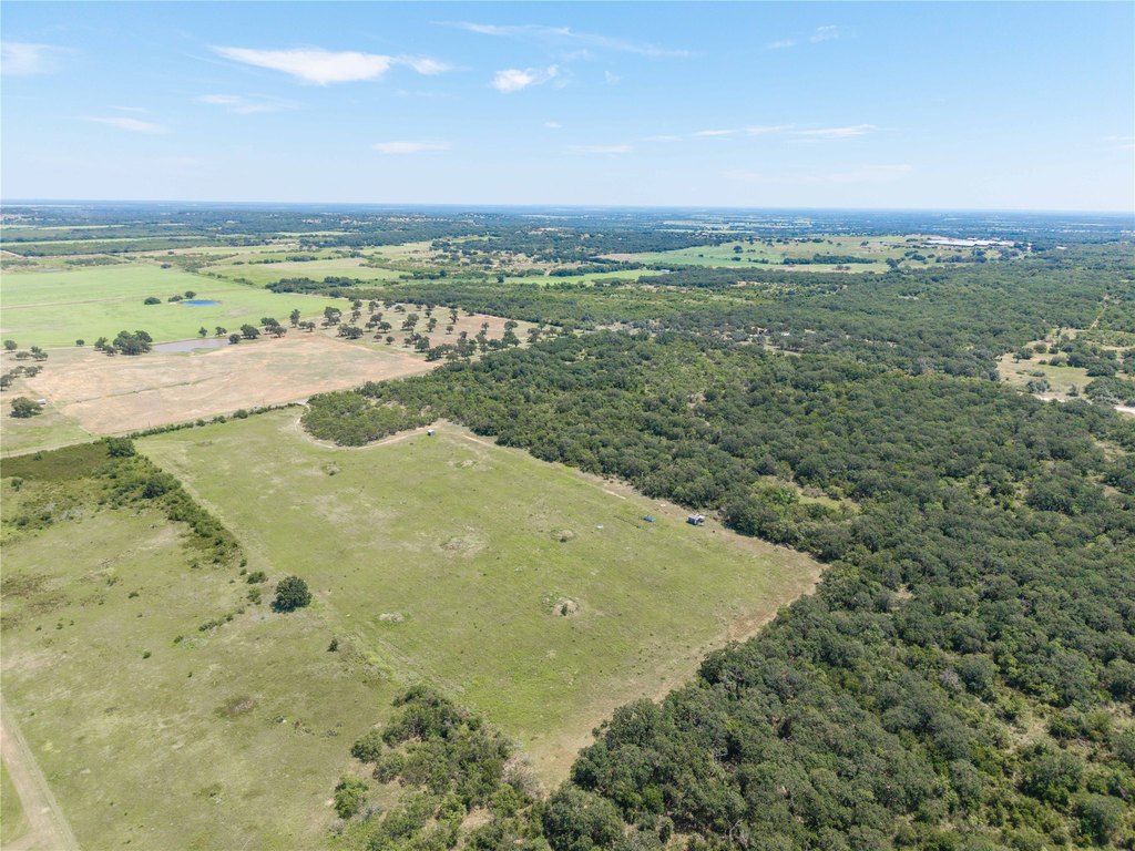
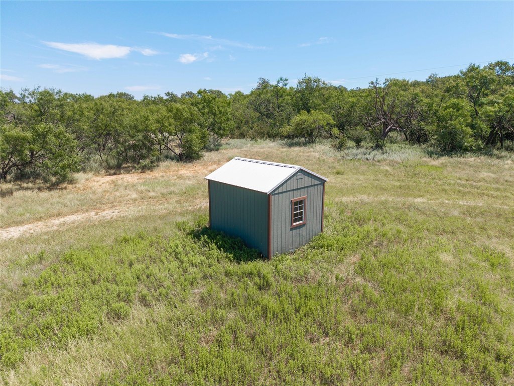
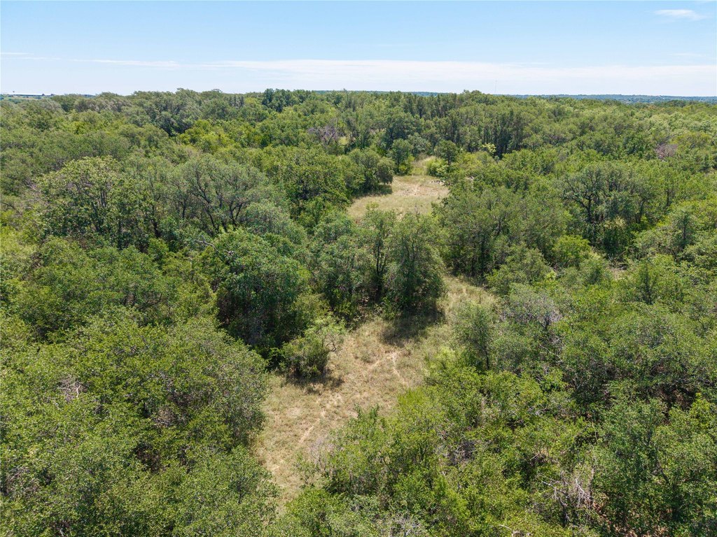
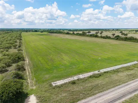
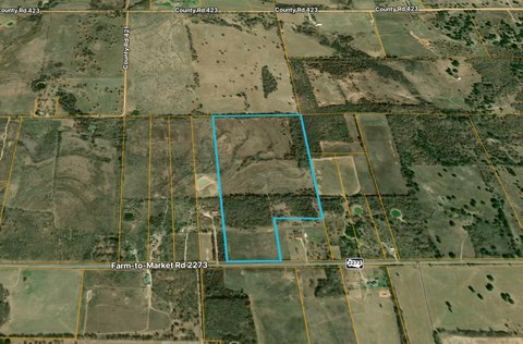
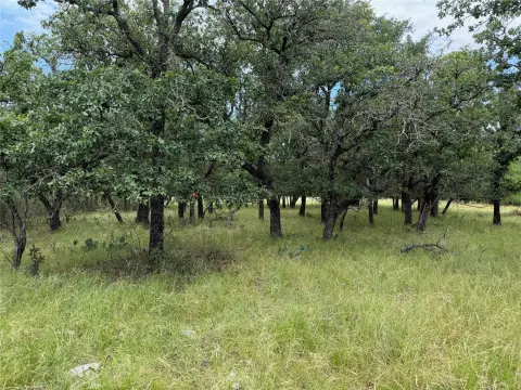
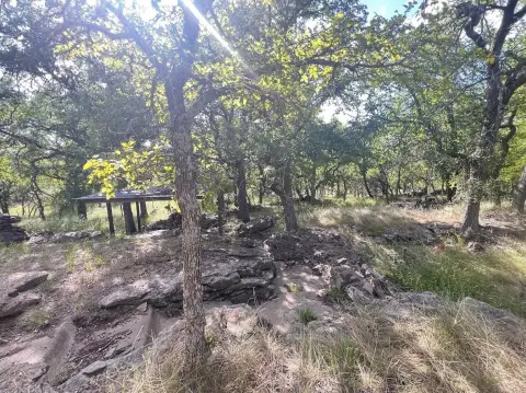
This 55-acre tract of Texas land offers a flexible mix of recreation and rural living potential. The property features rolling terrain with native wildlife, making it well-suited for hunting and nature-focused use. On-site, there is already a well and electrical access, supporting immediate practicality for future residential or agricultural plans.
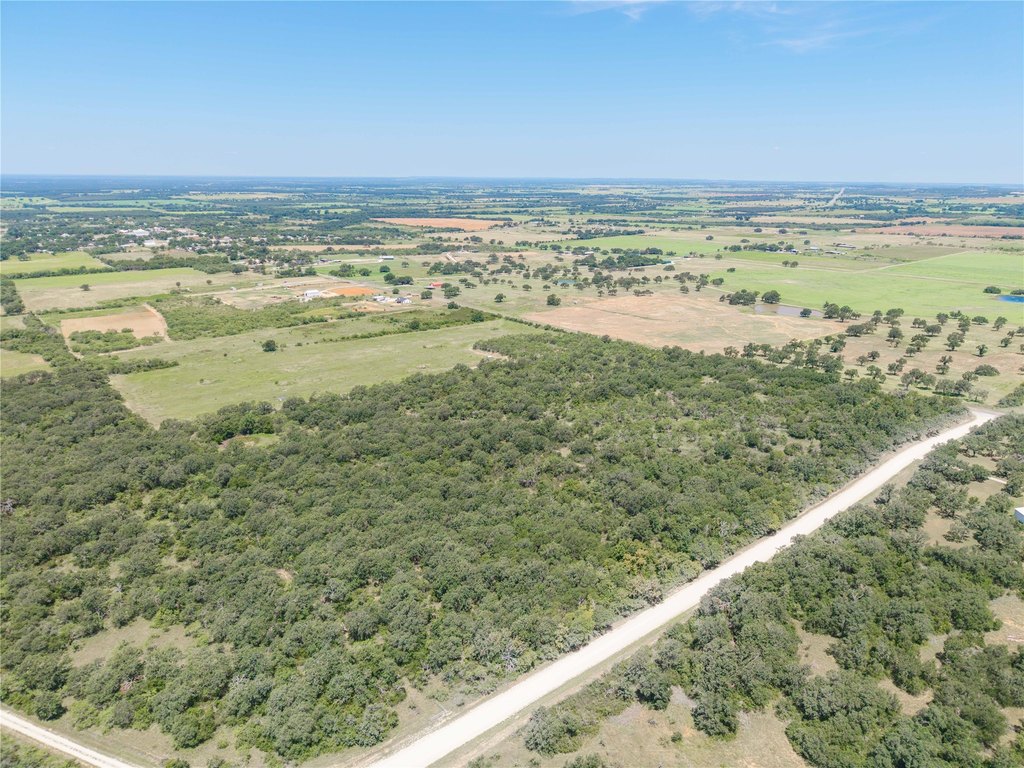
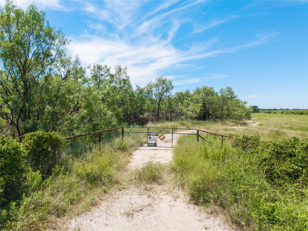
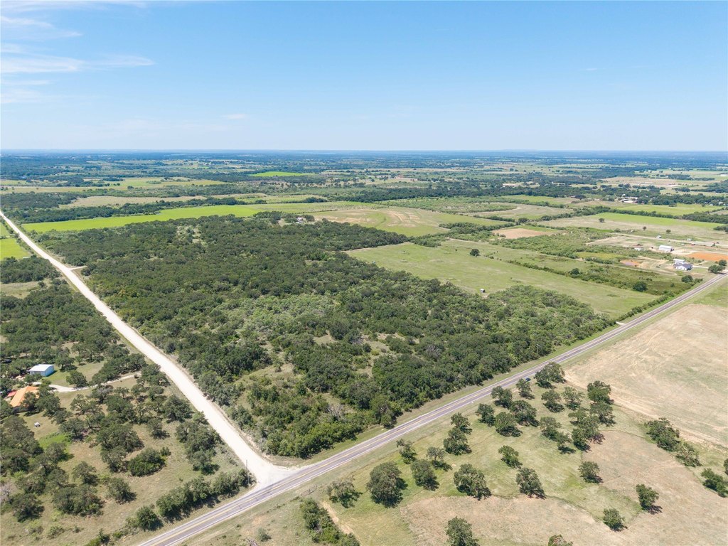
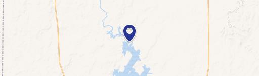
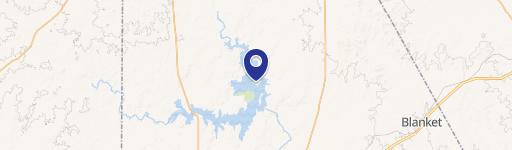
Located along FM-1689 in May, Texas, the site provides convenient access while maintaining a peaceful setting. Approximate road frontage totals about 3,140 feet on two sides, giving the property strong visibility and entry options from the roadway. The surrounding countryside character supports a private, escape-from-town feel, while still being within reach of nearby amenities in the broader Brownwood area.
For buyers looking for land that can serve more than one purpose, this tract fits a range of possibilities, including ranching, agricultural activities, recreational use, or development of a private homestead. With the existing well and electrical access already in place, it’s positioned for operators and individuals who want to move from planning to action. As noted by the buyer’s representative, all utilities, measurements, taxes, school district, and related information should be verified.
Key Highlights
- 55 acres of Texas land along FM‑1689 in May, TX
- Approximately 3,140 ft of road frontage on two sides along FM‑1689
- Well water source already on‑site
Property Analytics
Location Intelligence
Current Use by Public Records
Hunting land
Similar For Sale Nearby

FAQs
What type of property is this?
Hunting land - 55 acres with rolling terrain, native wildlife, and existing well and electric access for hunting or homestead plans.
Where is this hunting land located?
The property is located at 1689 fm May, TX.
What is the asking price?
The asking price for this property is $385,000.
What are key features of this property?
This property features: 55 acres of Texas land along FM‑1689 in May, TX; Approximately 3,140 ft of road frontage on two sides along FM‑1689; Well water source already on‑site