Recreational Hunting Land with Creek
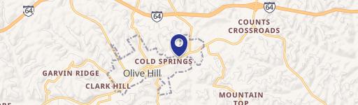
165A Open Fork Road Olive Hill, KY 41164


165A Open Fork Road, Olive Hill, KY, 41164
$315,000
For Sale
$315,000
LAND - Olive Hill, KY
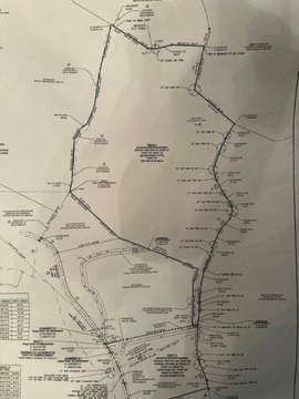
Lot Size165.00 Acres
Days on Market48
Property Features for 165A Open Fork Road
General Information
- Property type
- Land
- Property subtype
- Other
- Zoning
- AR
- Standard status
- Active
- APN
- 080-00-00-030.00
- Lot size
- 165.00 Acres
Listing agency
JB Land & Home Realty
(859) 473-2259
Listed by
Jeremiah B Brown · License #294658
(859) 473-2259
Added: Jun 4 Checked: Jul 21 at 5:06PM
MLS# 26012935
Copyright © 2026 ImagineMLS. All rights reserved. All information provided by the listing agent/broker is deemed reliable but is not guaranteed and should be independently verified.
Investment Insights
Based on property information with market context.
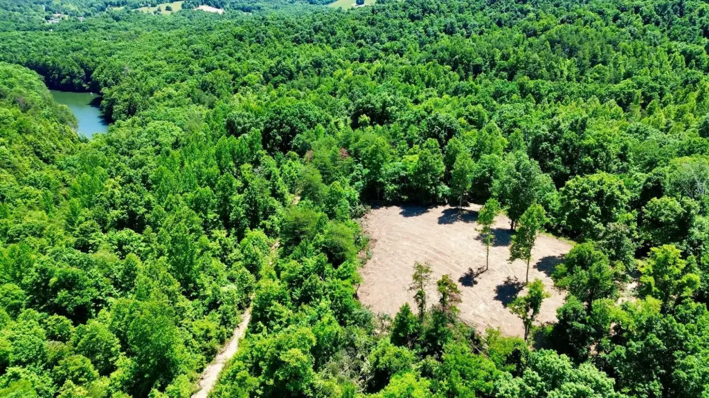
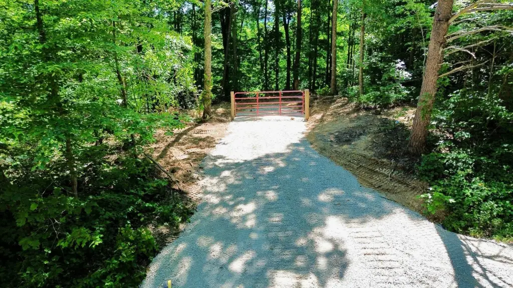
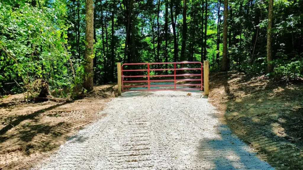
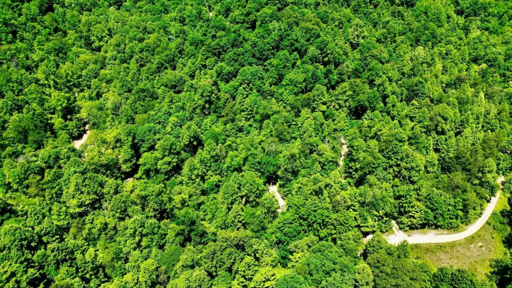
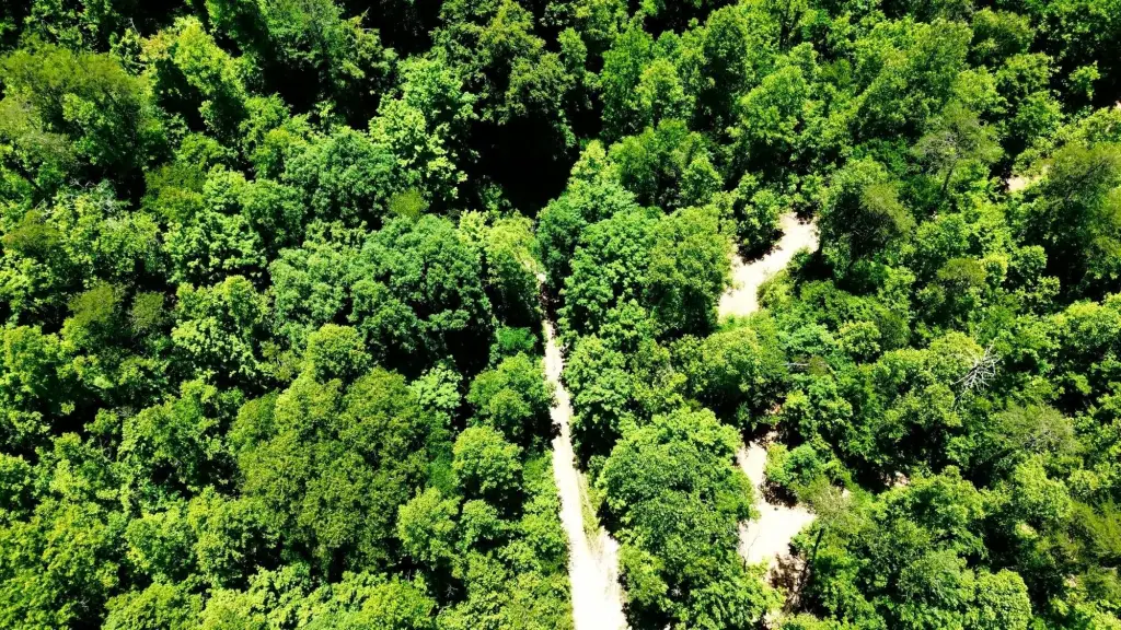
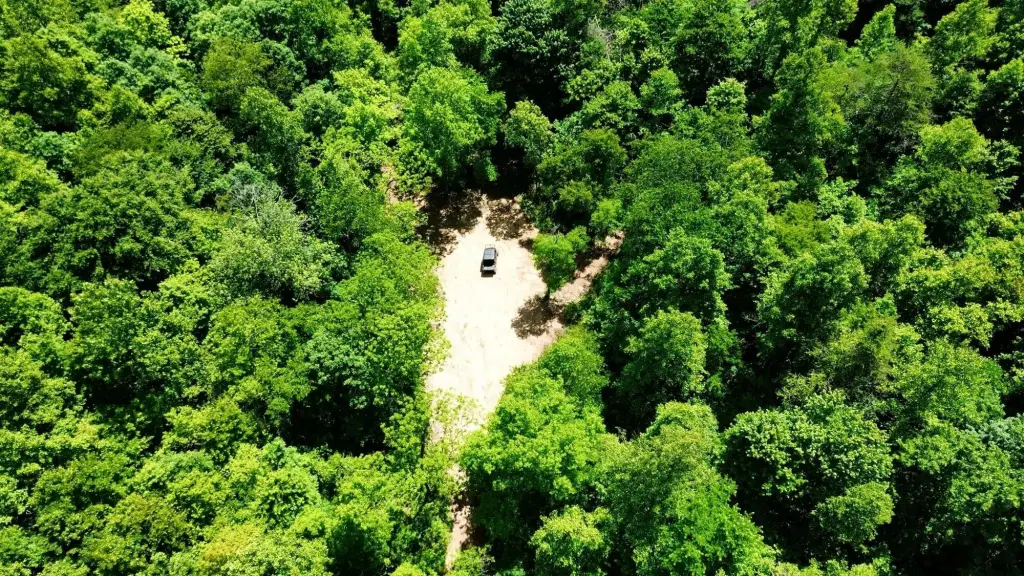
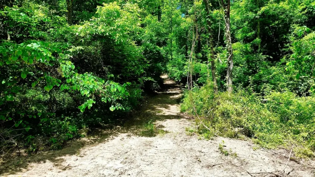
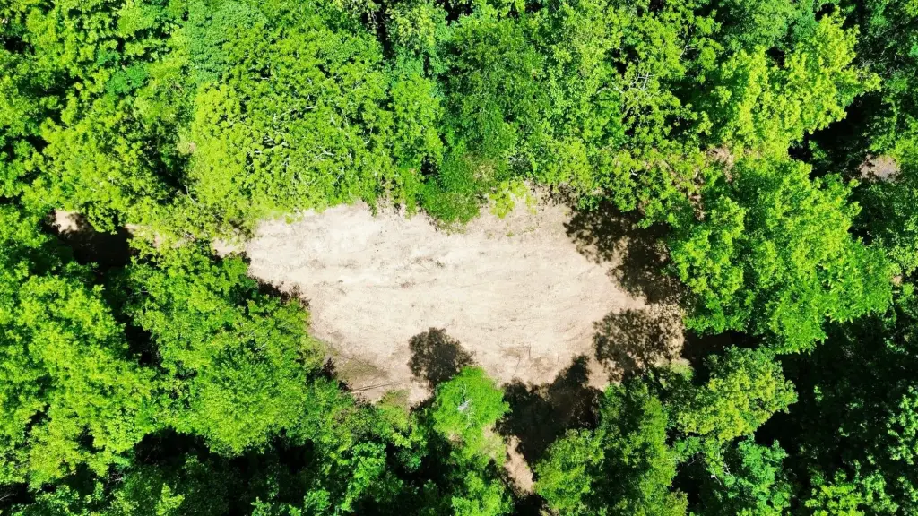
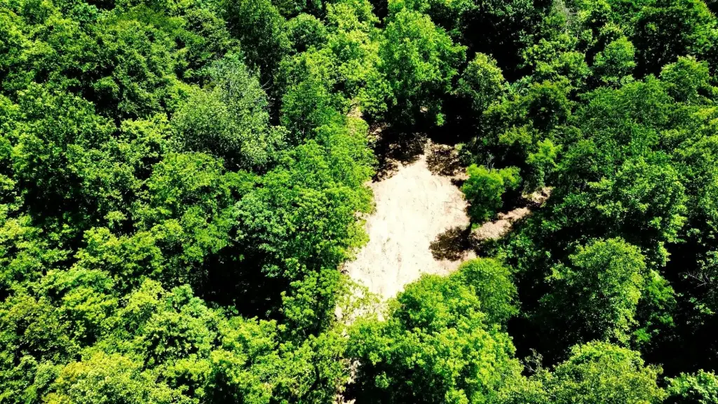
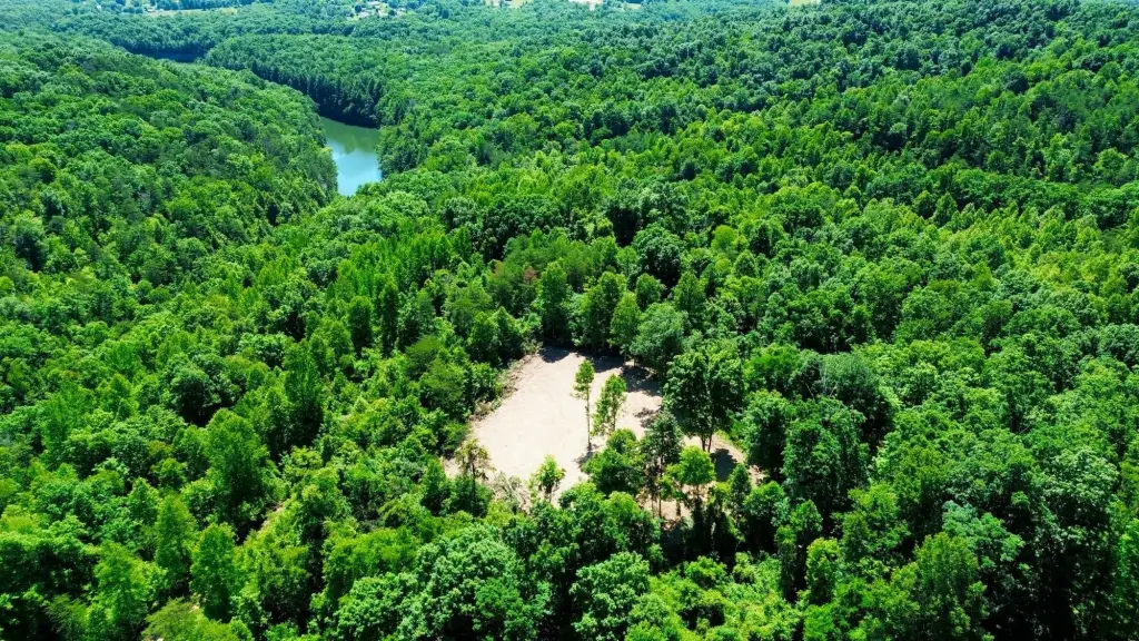
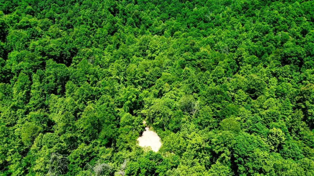
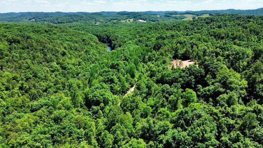
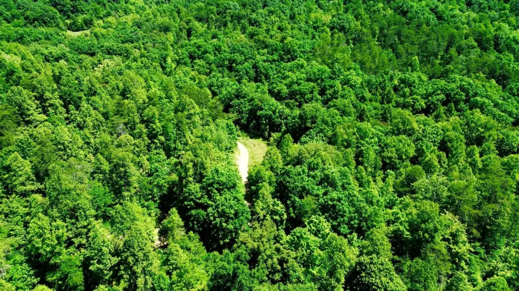
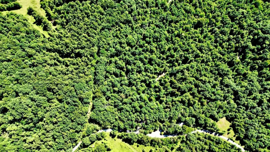
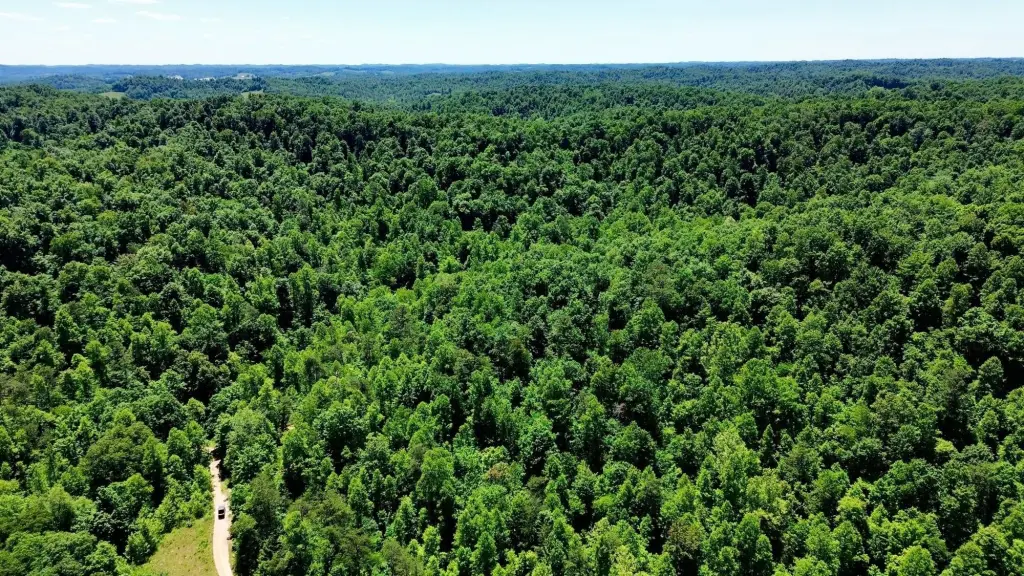
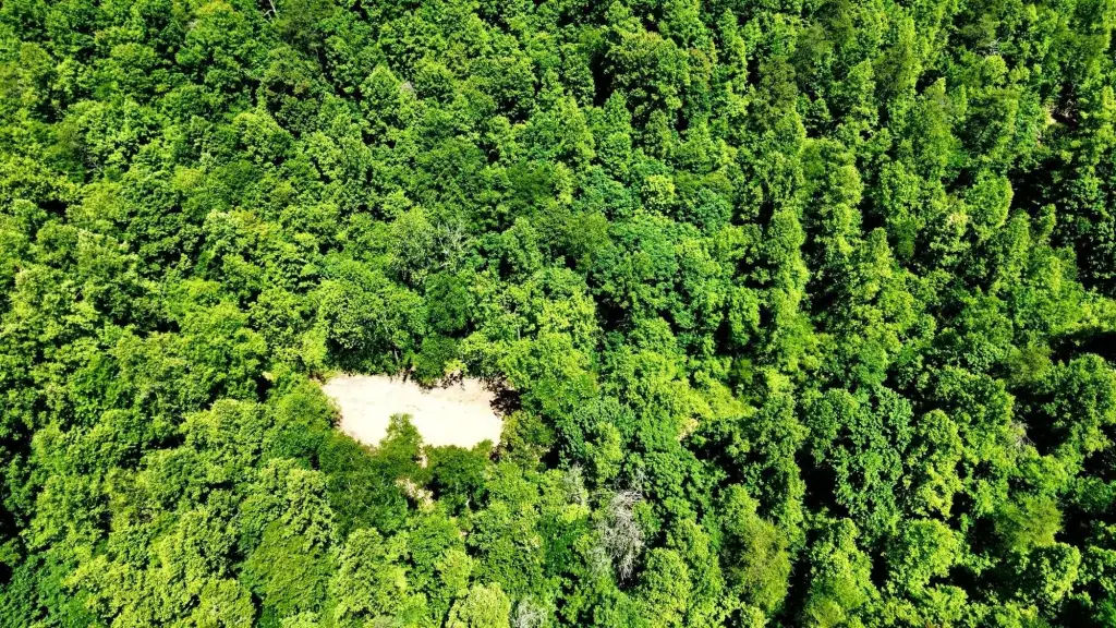
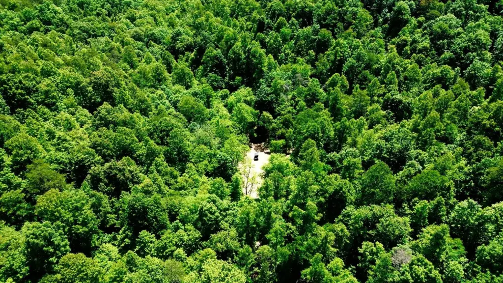
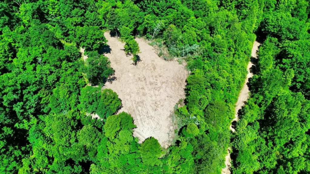
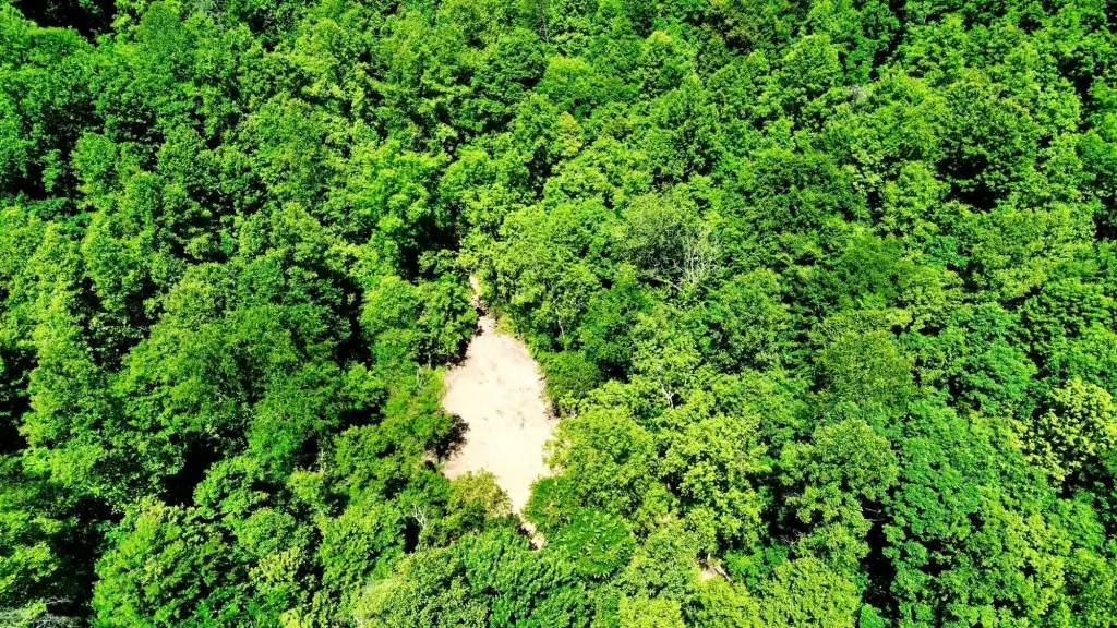
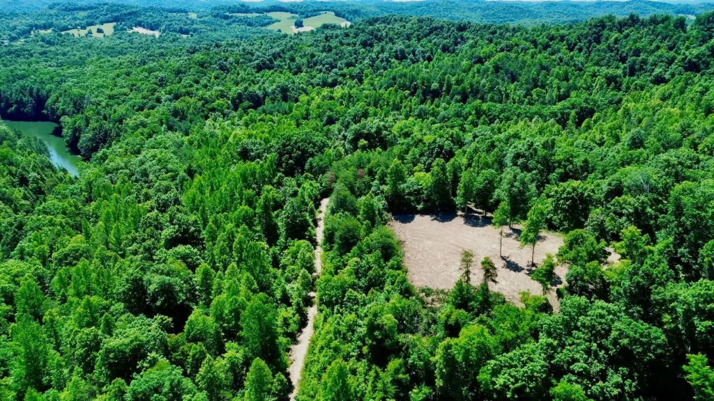
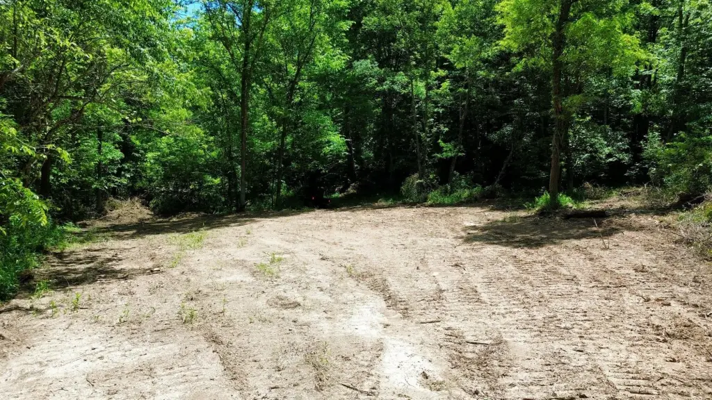
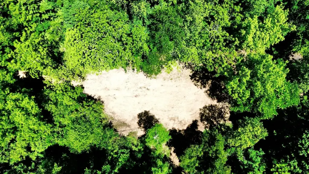
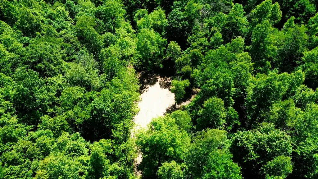
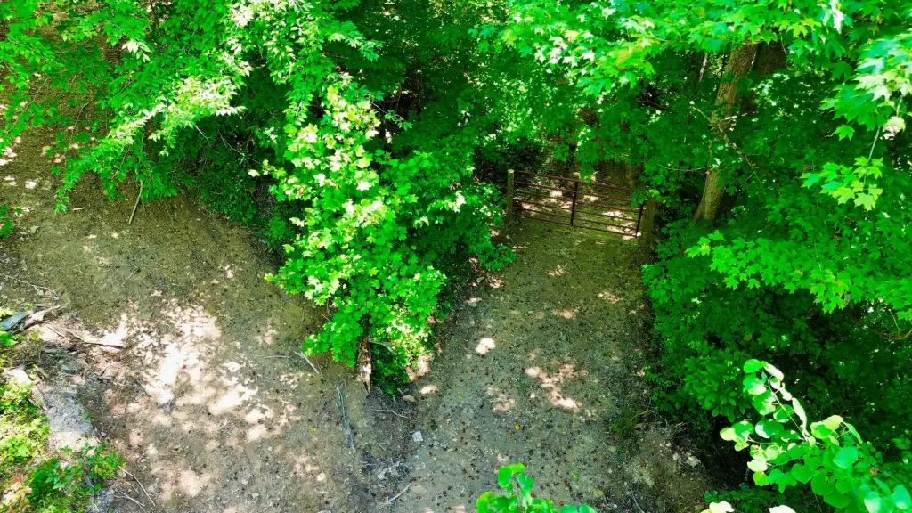
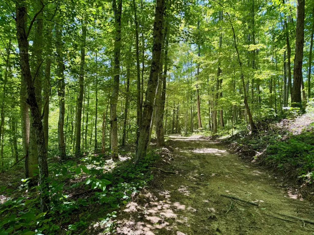
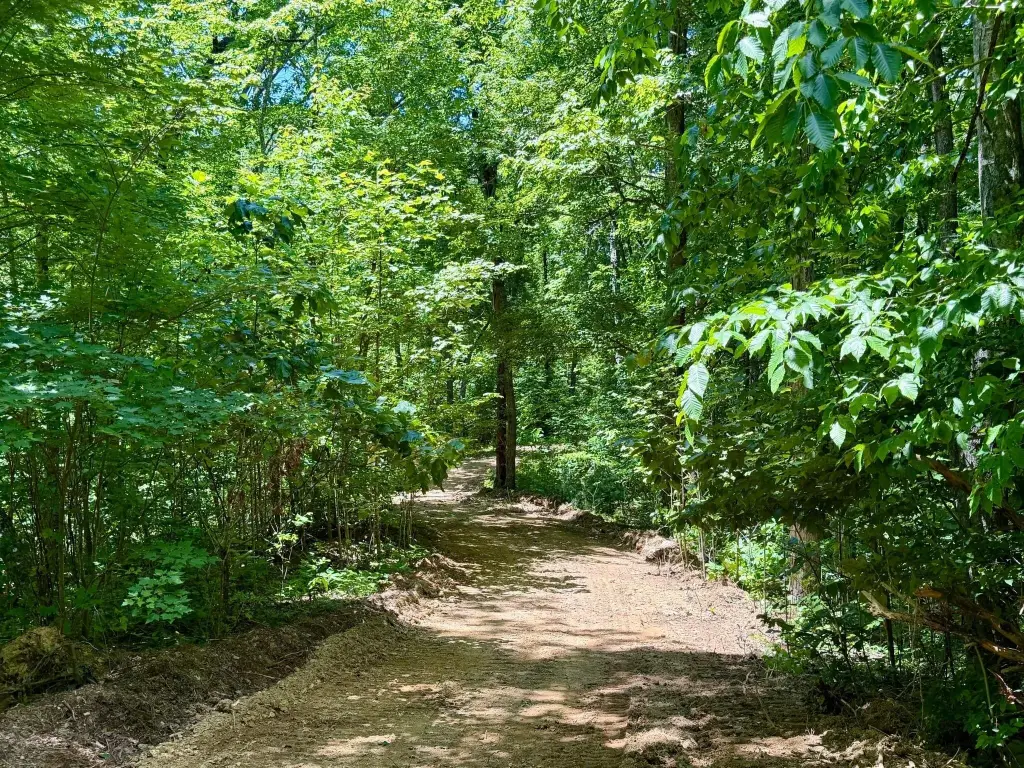
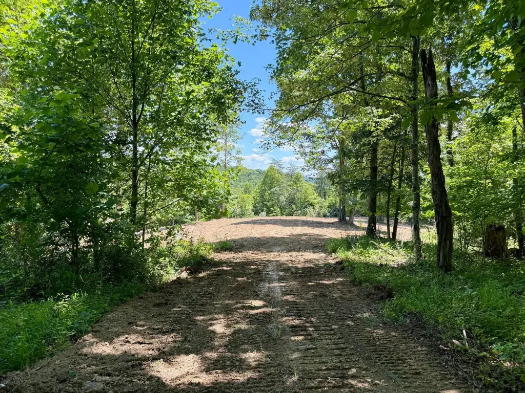
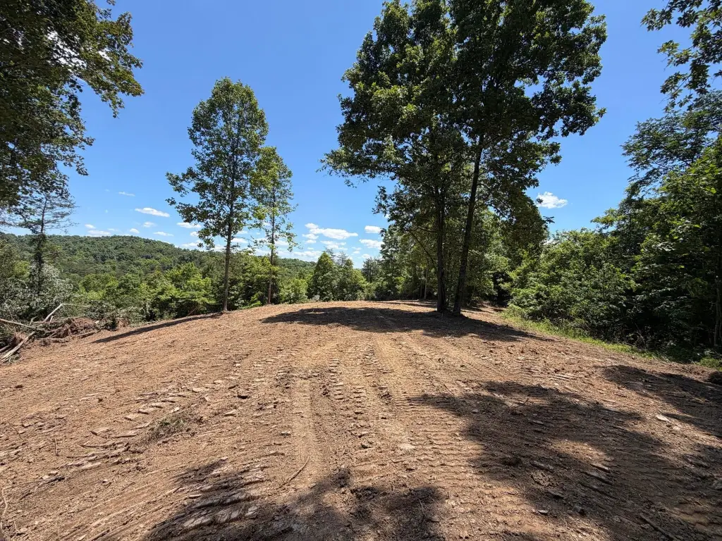
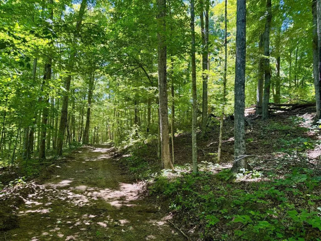
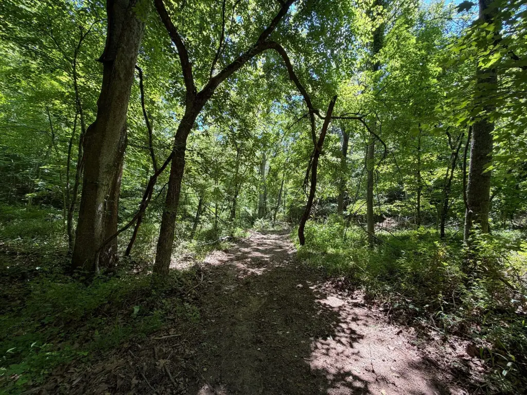
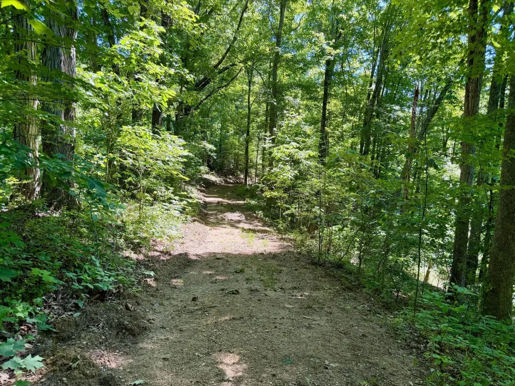
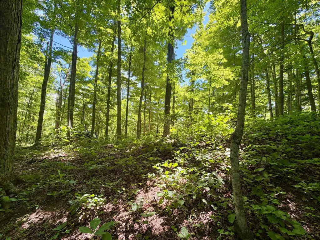
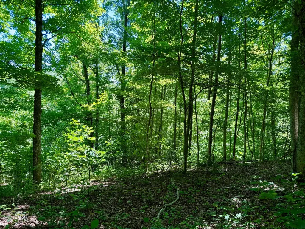
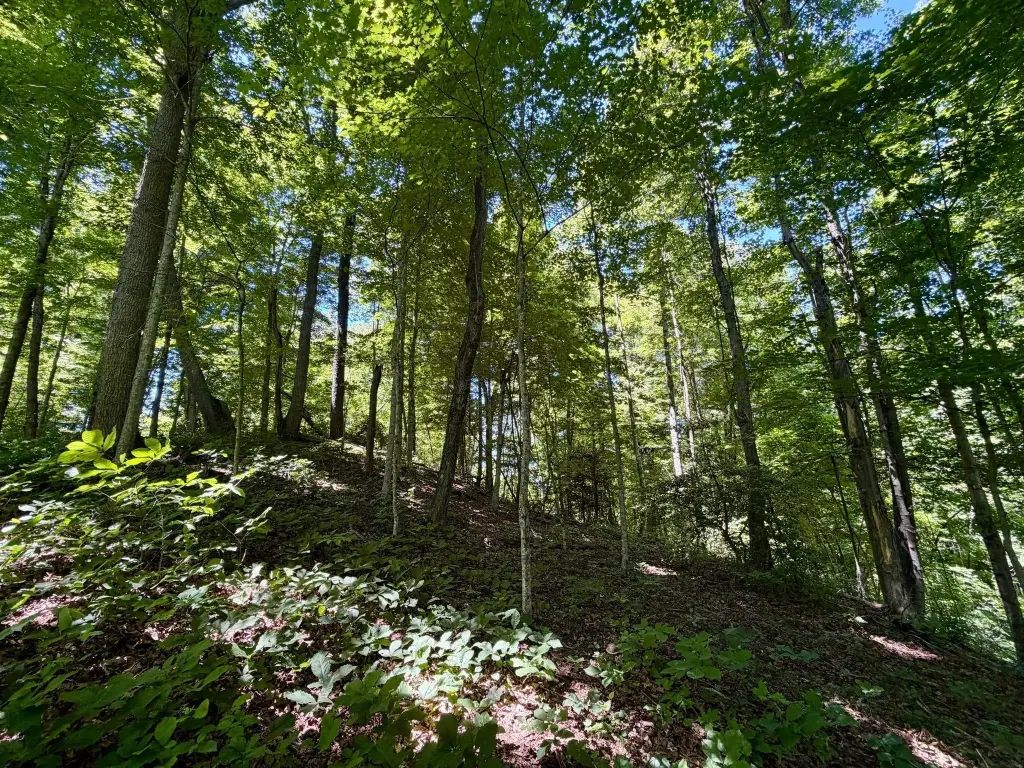
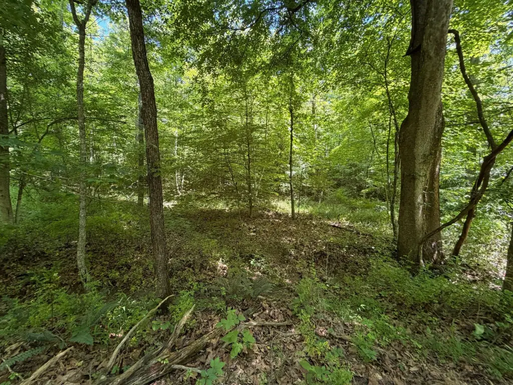
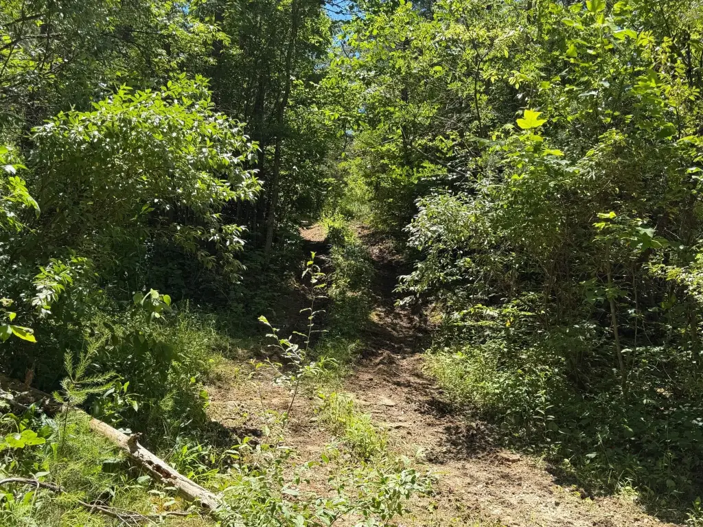
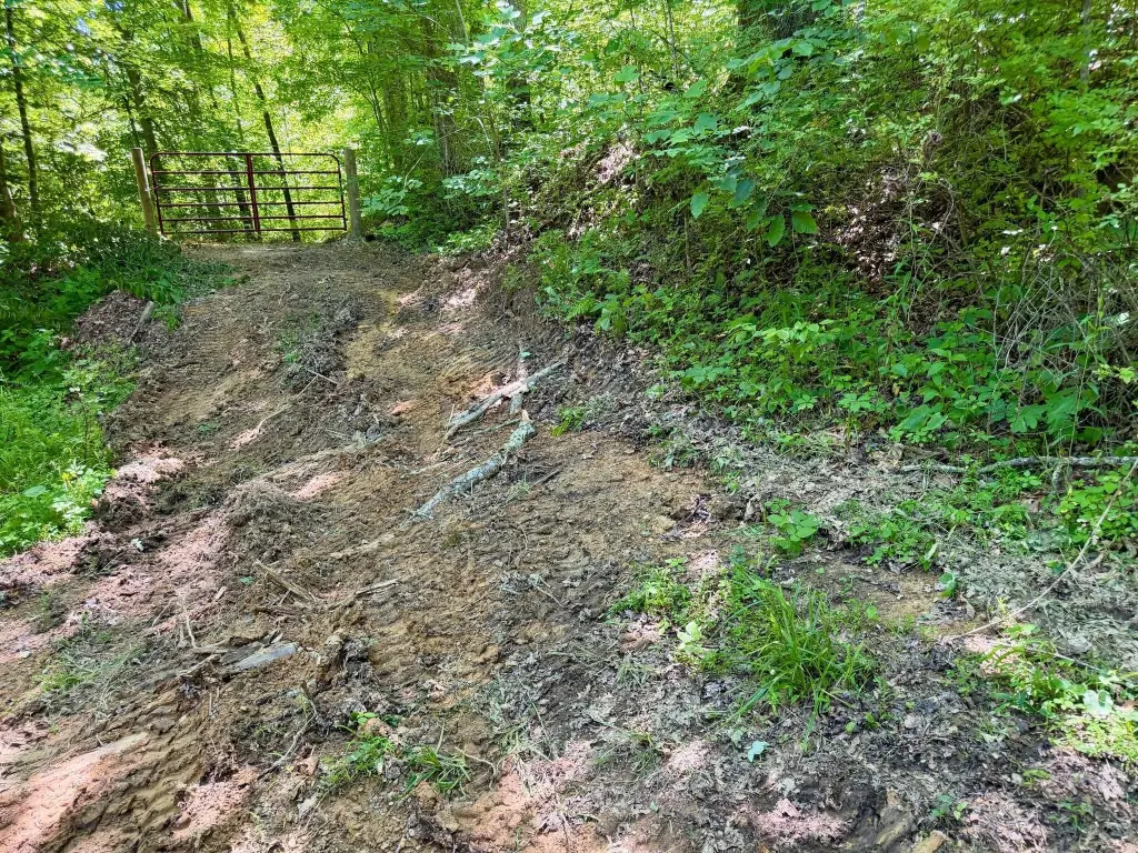
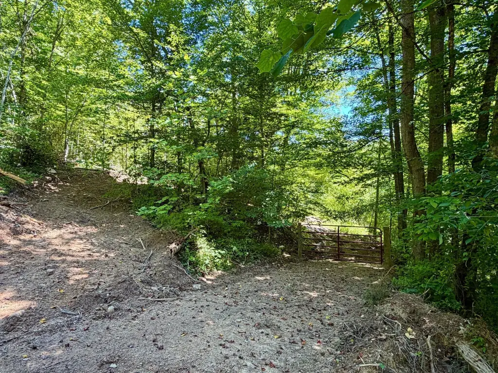
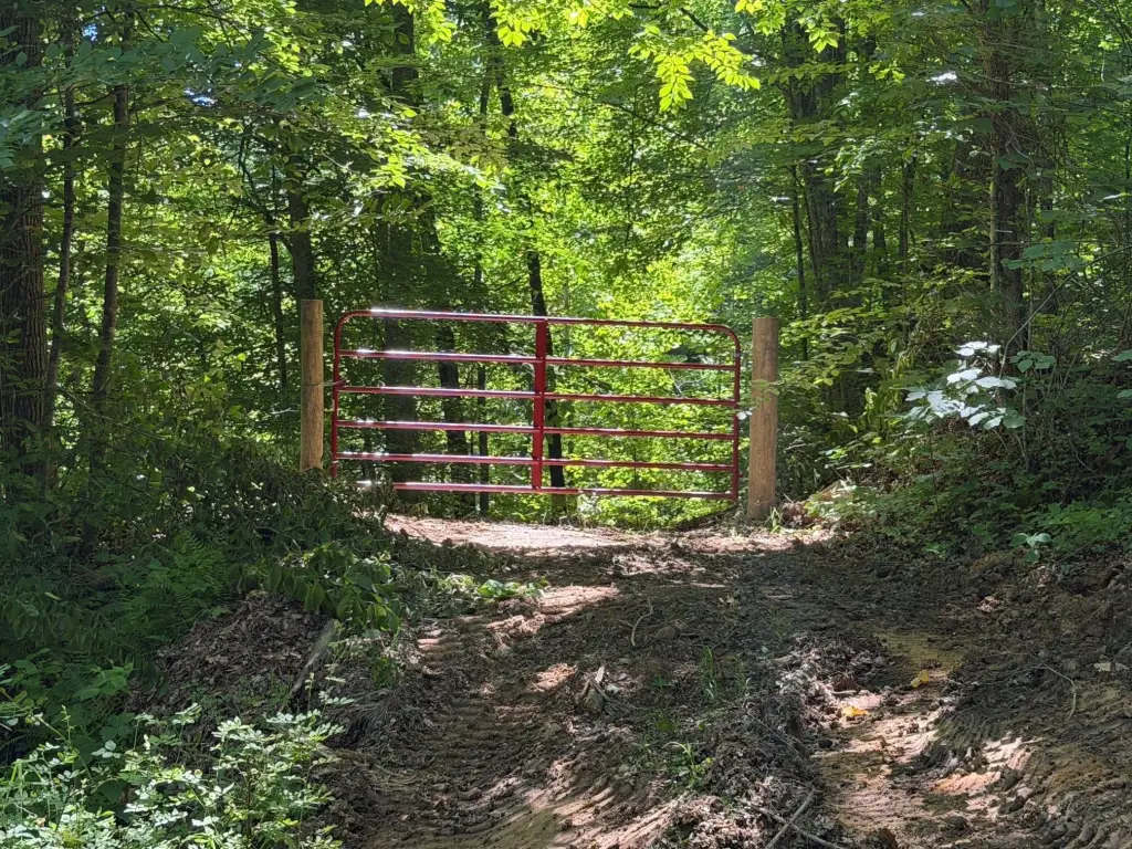
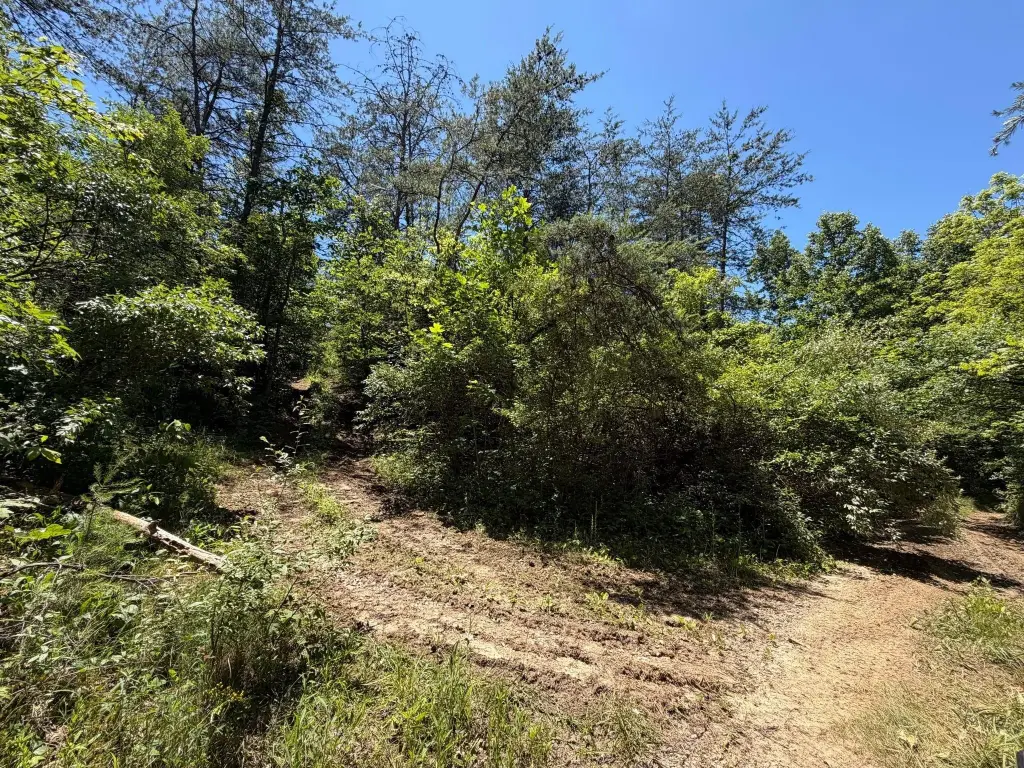
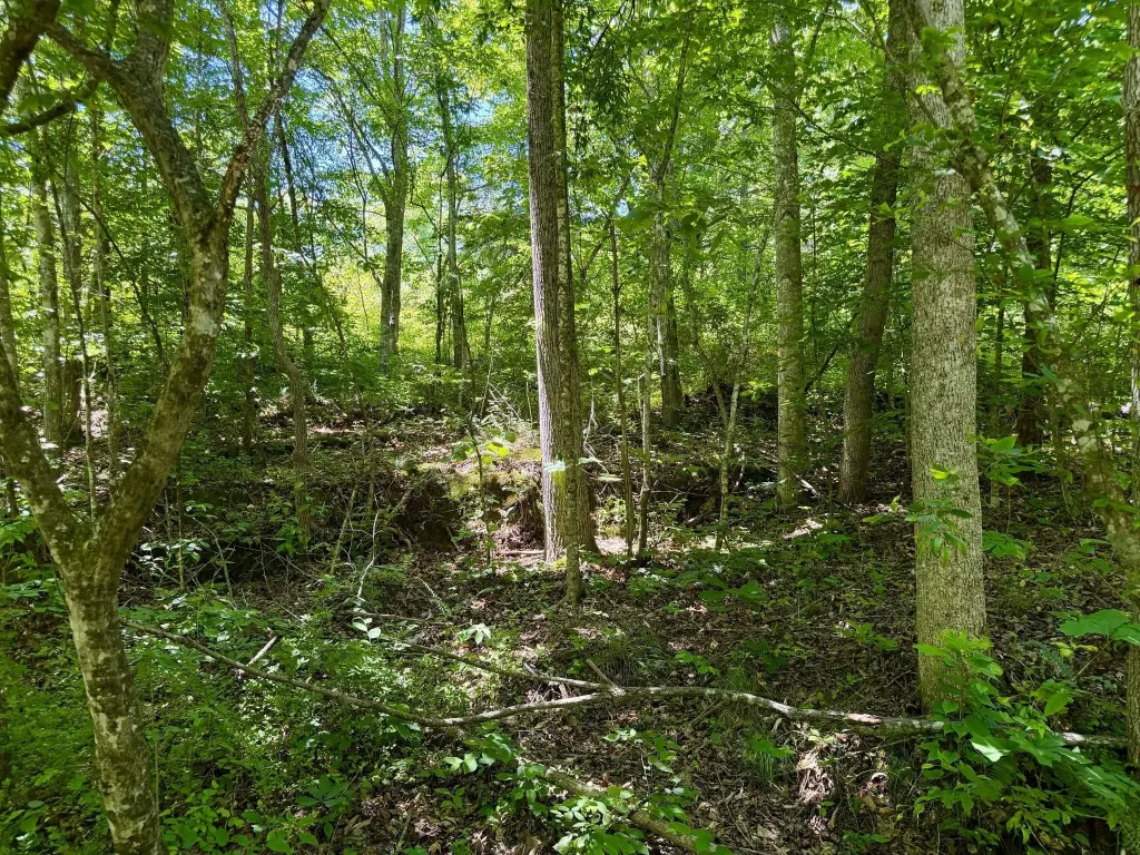
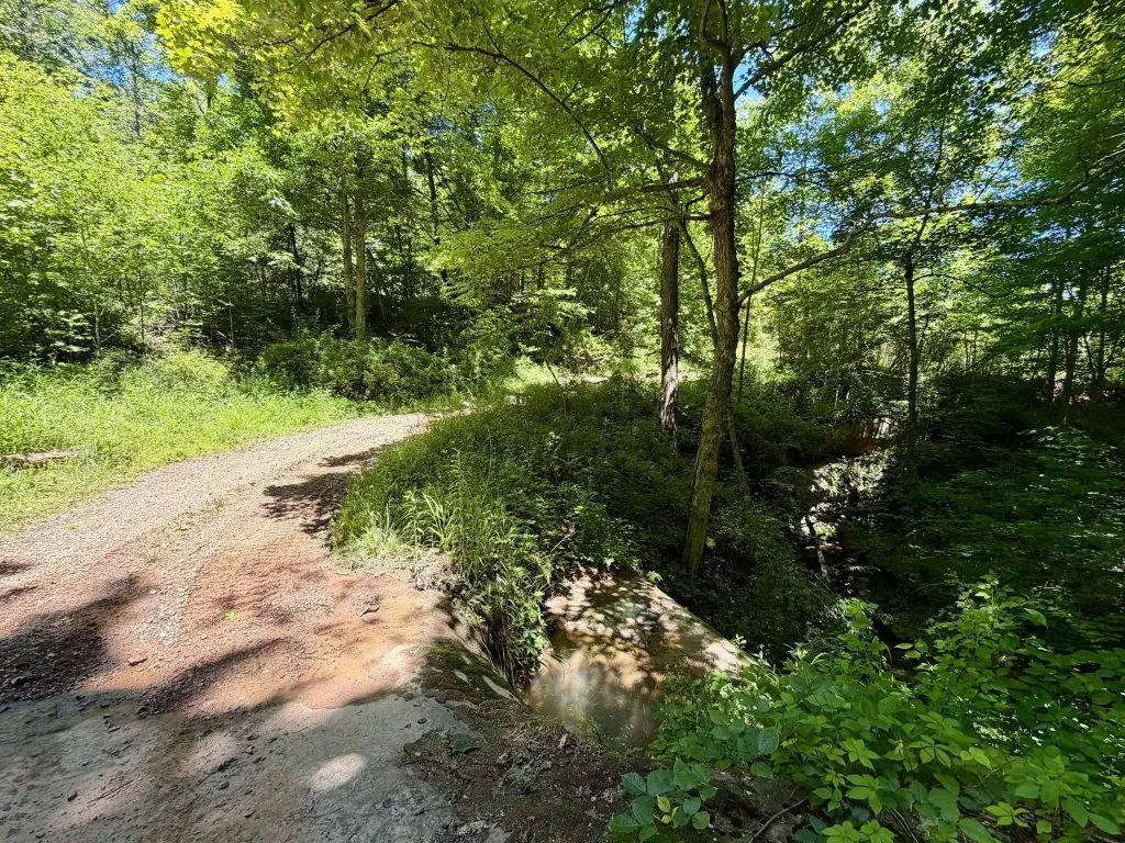
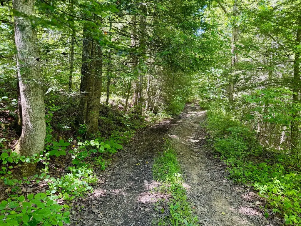
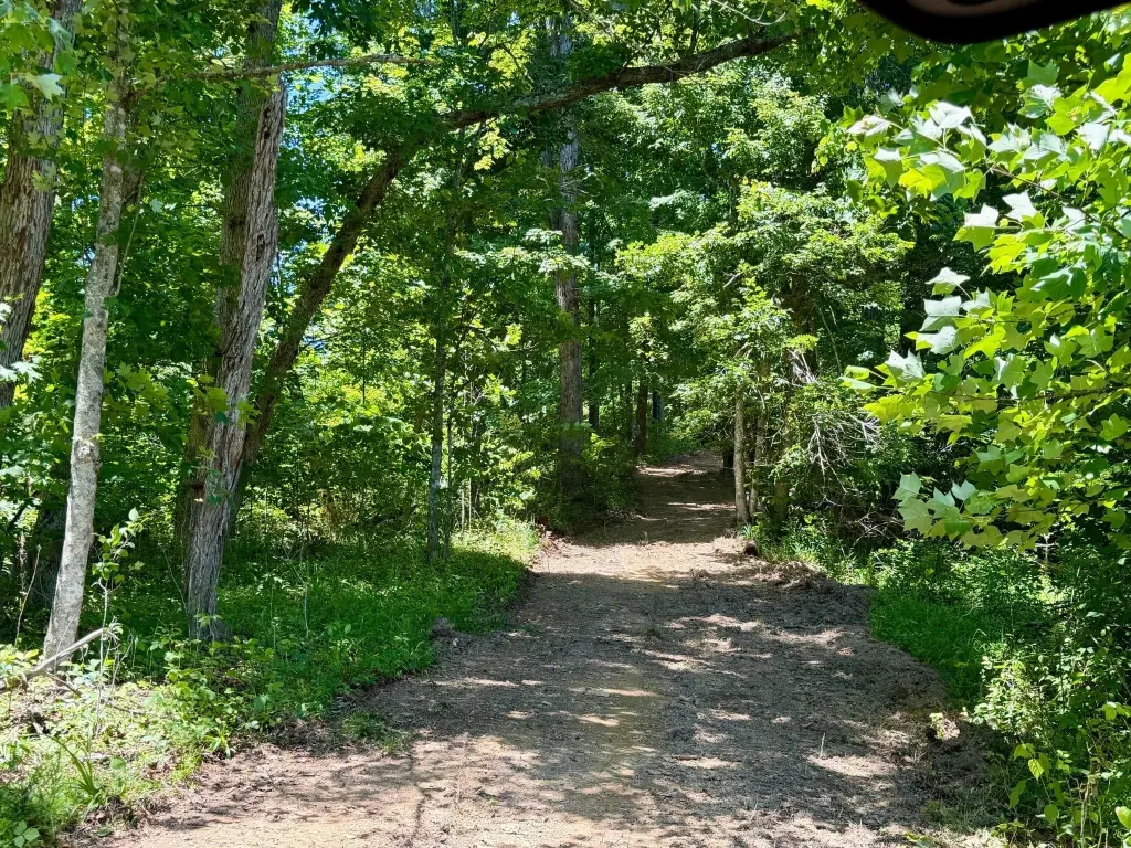
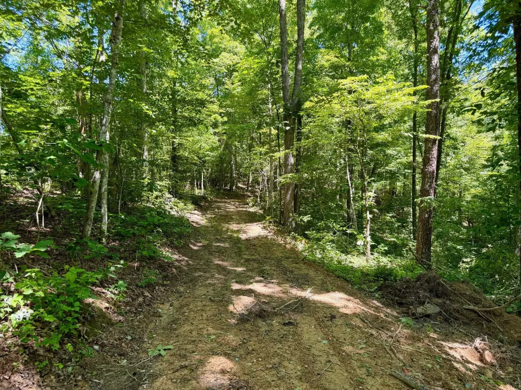
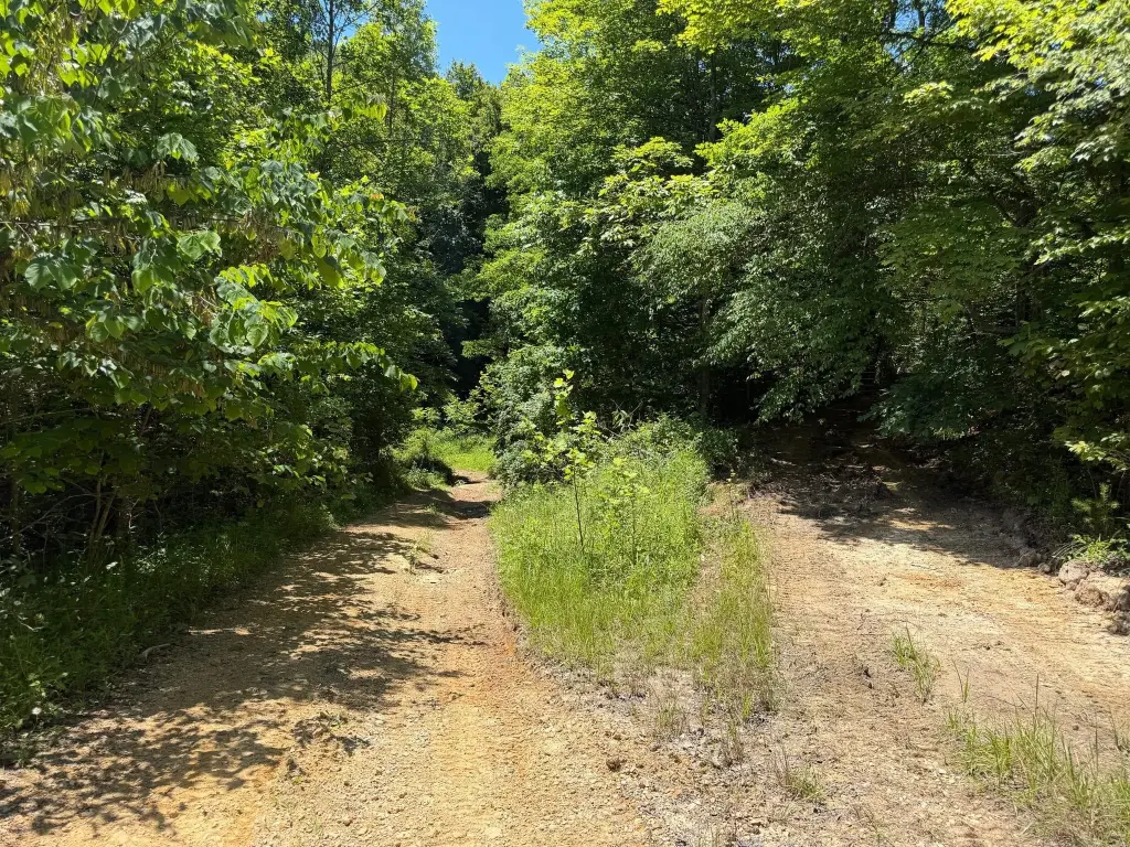
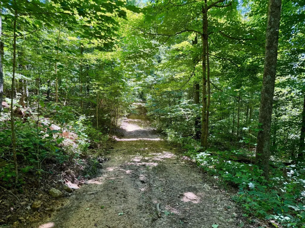
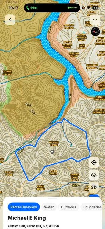
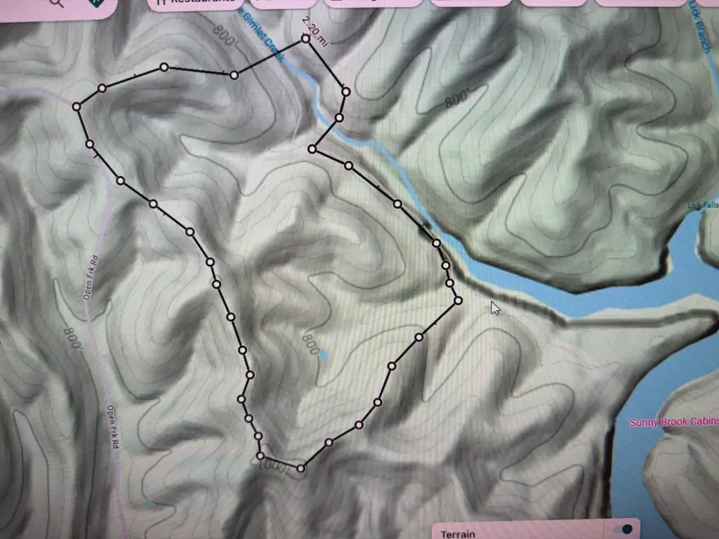
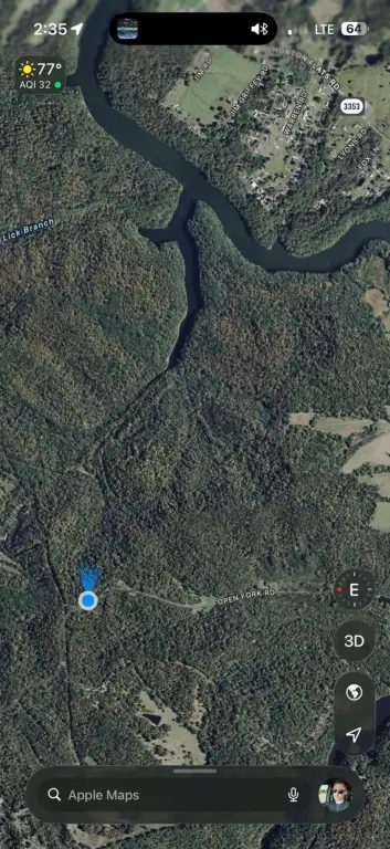
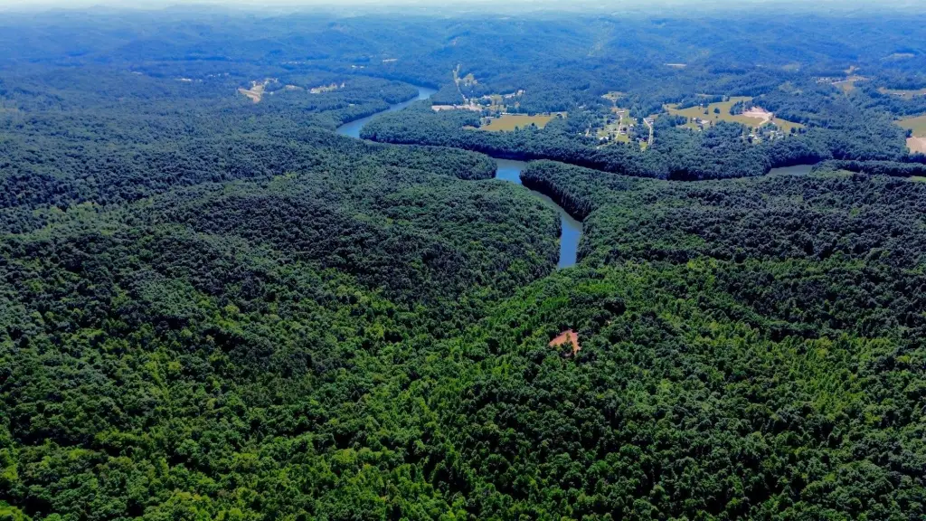
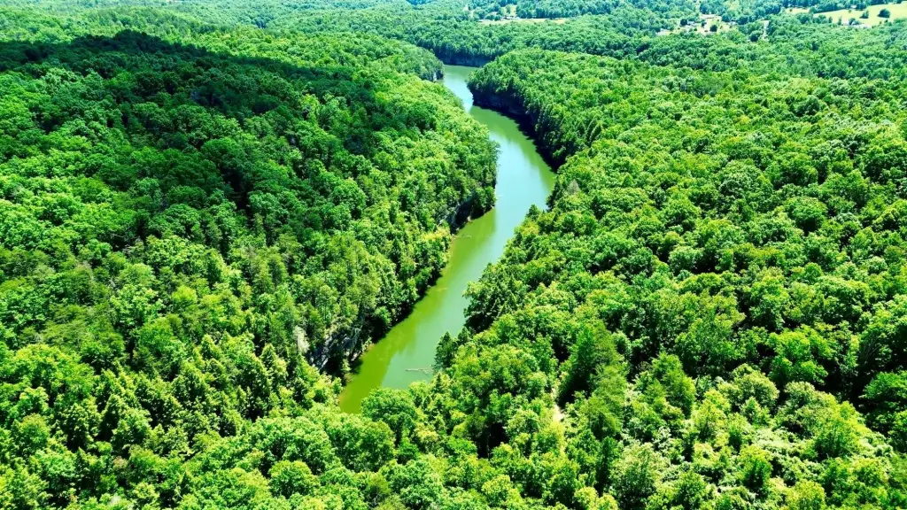
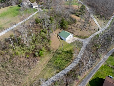
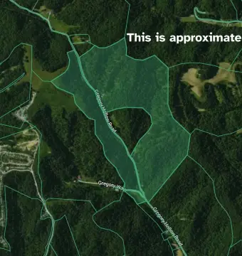
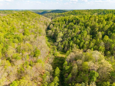
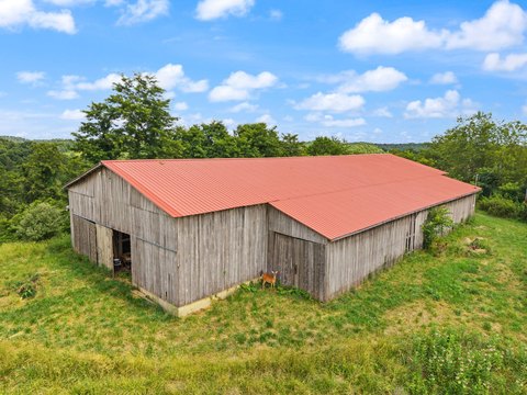
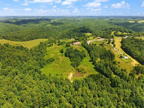
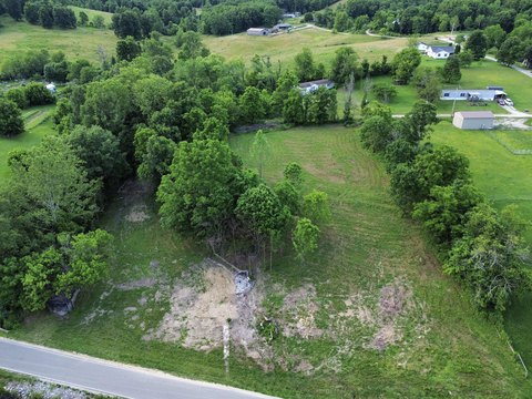
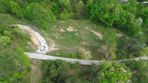
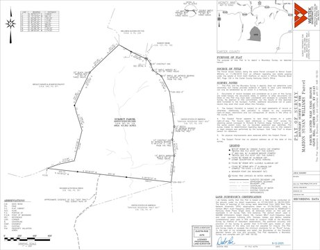
This recreational hunting property offers approximately 165+ acres of predominantly wooded terrain with varied topography, including rolling ridges, deep hollows, seasonal drainages, and natural benches. Elevations range from about 660 feet to nearly 1,000 feet, with ridge tops, saddles, draws, and natural travel corridors that support hunting and outdoor use. The tract is described as having established food plot locations and an internal trail system suitable for ATV/UTV riding, horseback travel, and on-foot access. A newly improved gravel entrance with gated access provides entry to the property.
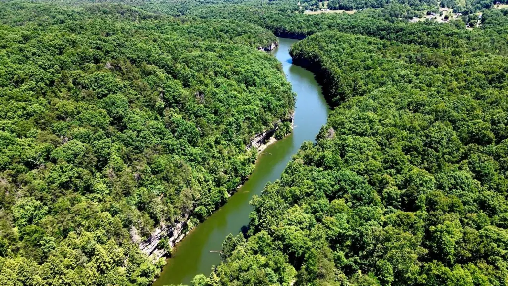
The land is located in Carter County, Kentucky, in the Gimlet Creek area. It features frontage along Gimlet Creek Road and directly adjoins U.S. Army Corps of Engineers land surrounding Grayson Lake, creating an undeveloped buffer and additional surrounding habitat. The listing notes that the property sits near Grayson Lake and is within a reasonable driving distance of Cave Run Lake, Interstate 64, Morehead, Olive Hill, and Grayson.
For buyers seeking a private recreational tract, this parcel’s wooded layout, established trails, and existing food plot areas are positioned for immediate hunting and outdoor enjoyment. The direct adjacency to U.S. Army Corps of Engineers land is also a practical factor for those wanting expanded recreational space beyond deeded boundaries, with a focus on seclusion and habitat-driven terrain.
Key Highlights
- 165+/- acre recreational tract in the Gimlet Creek area of Carter County
- Frontage along Gimlet Creek Road and direct adjacency to U.S. Army Corps of Engineers land around Grayson Lake
- Newly improved gravel entrance with gated access
Property Analytics
Property Profile
Location Intelligence
Current Use by Public Records
Hunting land
Similar For Sale Nearby

FAQs
What type of property is this?
Hunting land - Wooded, 165+ acres with Gimlet Creek frontage, gated entry, and established trails for hunting and outdoor recreation.
Where is this hunting land located?
The property is located at 165A Open Fork Road Olive Hill, KY.
What is the asking price?
The asking price for this property is $315,000.
What are key features of this property?
This property features: 165+/- acre recreational tract in the Gimlet Creek area of Carter County; Frontage along Gimlet Creek Road and direct adjacency to U.S. Army Corps of Engineers land around Grayson Lake; Newly improved gravel entrance with gated access


