Commercial Land with Highway
For Sale
$32,000
1630 Hwy 67, Corning, AR 72422
Vacant Land, Corning, AR
Property SizeContact for details
Lot Size4.95 Acres
Days on Market114
Property Features for 1630 Hwy 67
General Information
Property type
Land
Property subtype
Other
Subdivision
Not in Subdivision
Lot features
Level, Rural Property, Out of City
Directions
Located approximately 5 miles west of Corning in the Datto curve area.
Standard status
Active
Lot size
4.95 Acres
Taxes and HOA fees
Tax Description
--
Tax Annual Amount
157
Listing Agency:
Jim Watson Real Estate
(870) 598-3869
Listed By:
Stephen Ballard
(870) 897-0144
Added: Jul 3
Changed: Oct 19
Last Checked: Oct 24 at 2:06AM
MLS# 26027119
Copyright © 2026 Cooperative Arkansas Realtors Multiple Listing Service. All rights reserved. All information provided by the listing agent/broker is deemed reliable but is not guaranteed and should be independently verified.

Ask AI about this property
Review the available facts, identify missing information and prepare questions for the agent.
Investment Insights
Based on property information with market context.
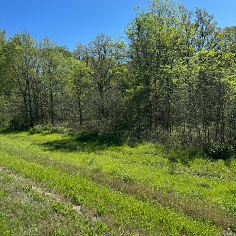
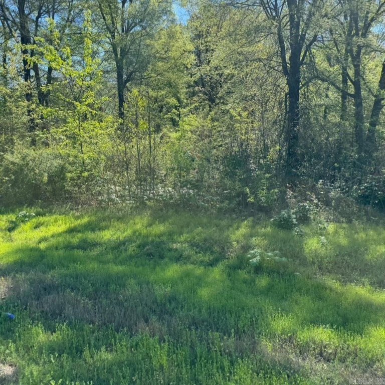
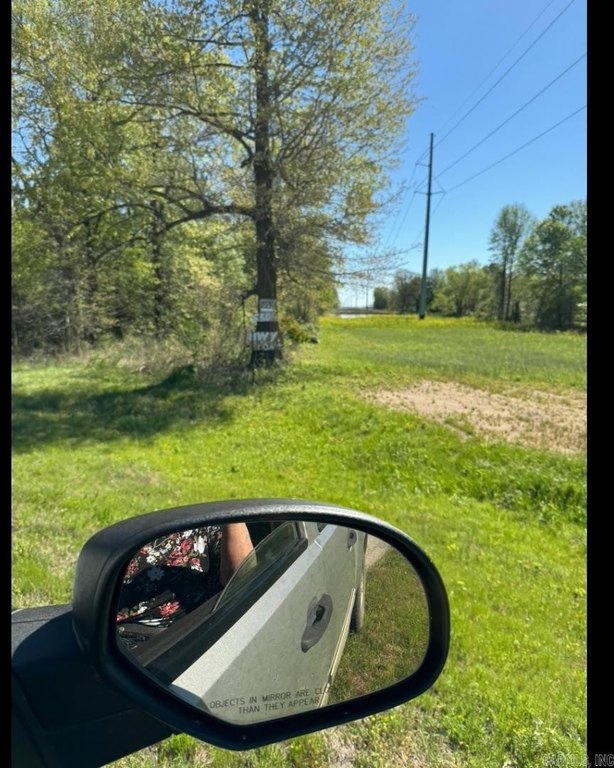
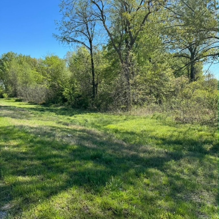
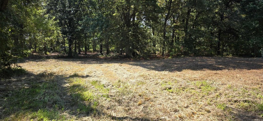
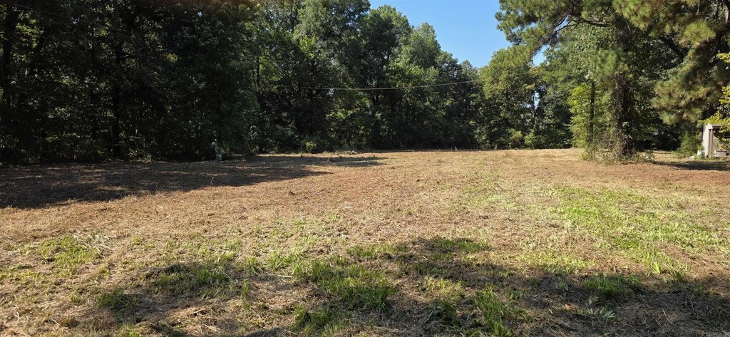
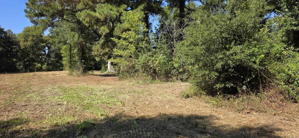
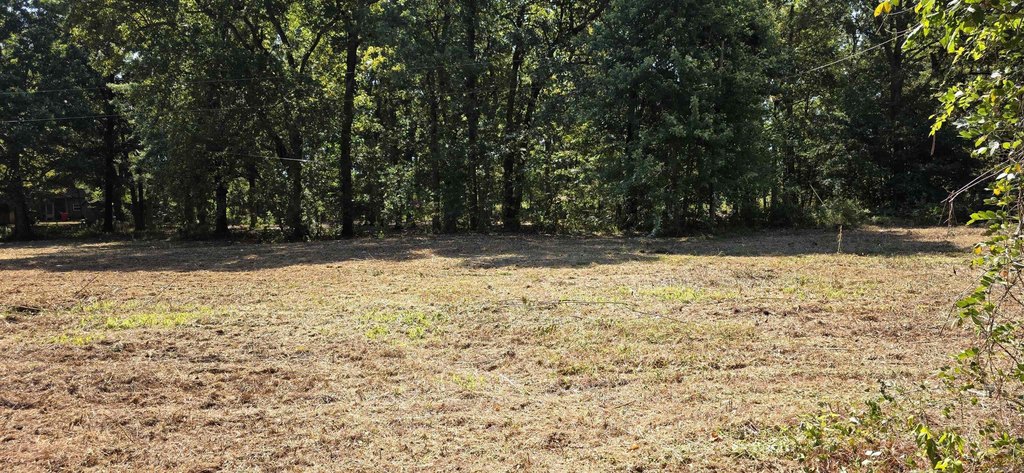
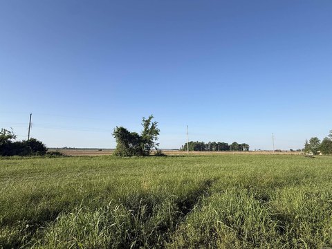
This offering presents a 4.95-acre tract of usable land in Clay County, arranged with a mix of open space and natural privacy. The site is positioned to support development plans ranging from a new home build to a small business use or other multi-purpose layout, with direct access to Highway 67.
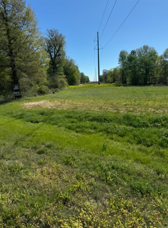
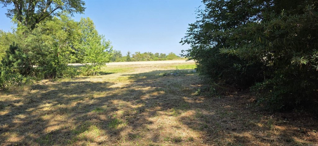
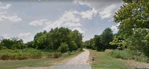
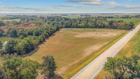
The property is located just west of Corning along Hwy 67 in the Datto curve, and it includes approximately 650 feet of highway frontage. That frontage can support visibility for future commercial activity while still offering convenient access for residents and operators. County water is already on site, and a power pole is in place, which can help streamline early planning steps.
With utilities available and a long stretch of road exposure, this tract may fit buyers looking for a rural site that can accommodate residential development, a mini-farm concept, or a business location. Its size and frontage provide flexibility for different site layouts, whether the priority is space, frontage, or the practical benefits of already-present utility connections.
The property is located just west of Corning along Hwy 67 in the Datto curve, and it includes approximately 650 feet of highway frontage. That frontage can support visibility for future commercial activity while still offering convenient access for residents and operators. County water is already on site, and a power pole is in place, which can help streamline early planning steps.
With utilities available and a long stretch of road exposure, this tract may fit buyers looking for a rural site that can accommodate residential development, a mini-farm concept, or a business location. Its size and frontage provide flexibility for different site layouts, whether the priority is space, frontage, or the practical benefits of already-present utility connections.
Key Highlights
- 4.95 acres of usable land along Hwy 67, just west of Corning in the Datto curve.
- Approx. 650 ft of frontage on Hwy 67 with direct highway access.
- County water is already on site.
Property Analytics
Who owns this building?
See the owner, sales and loan history
Open Analytics
Lease Details
Yes
Highway access
Yes
Paved road access
Yes
Utilities to site
Location Intelligence
Trade Area within ½ mile
1
Businesses Nearby
Explore this area
Business Placement
Demographics for 72422, AR
4,377
Population
2,295
Households
1.9
Avg Household Size
42
Median Age
17%
College-Educated
88%
High-School Grad
165.8 sq mi
ZIP Area
26
Density / Sq Mi
$44,848
Median Household Income
$31,809
Median Earnings
$707
Median Rent
$87,600
Median Home Value
Check the figures for this property
Cap Rate, Value Estimation, Potential NOI and more
View Realmo Analytics




Frequently Asked Questions
What type of property is this?
Land - Nearly five acres with county water and power on site, featuring approximately 650 feet of Hwy 67 visibility.
Where is this land located?
The property is located at 1630 Hwy 67 Corning, AR.
What is the asking price?
The asking price for this property is $32,000.
What are key features of this property?
This property features: 4.95 acres of usable land along Hwy 67, just west of Corning in the Datto curve.; Approx. 650 ft of frontage on Hwy 67 with direct highway access.; County water is already on site.


