Recreation Land With
For Sale
$380,000
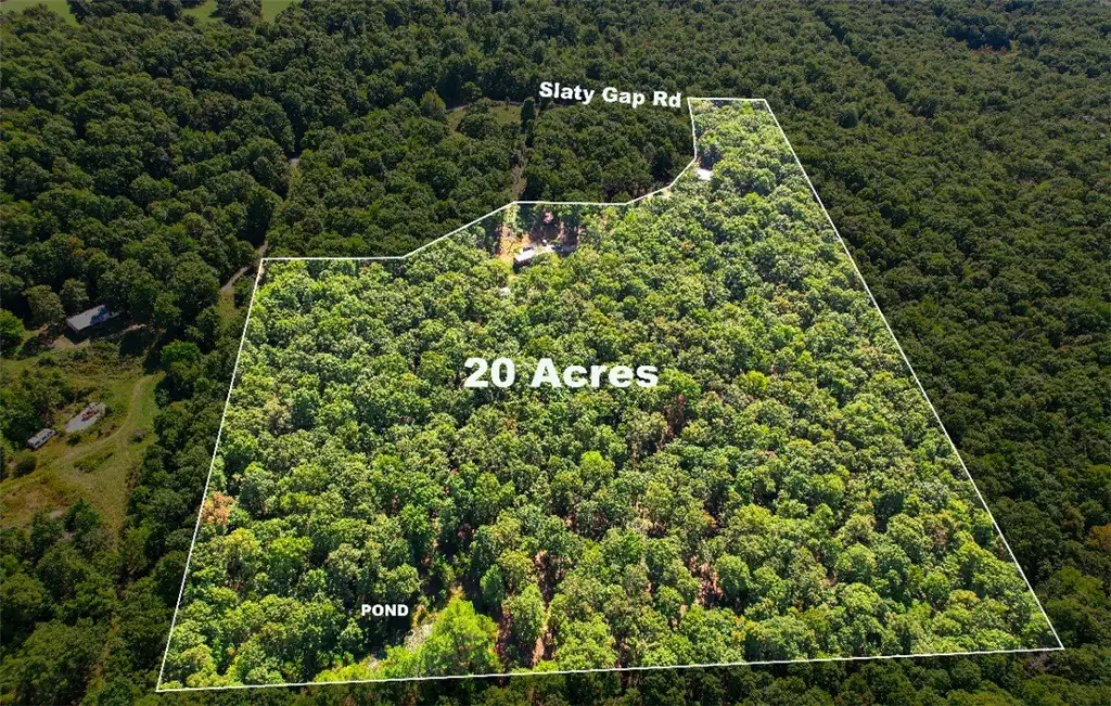
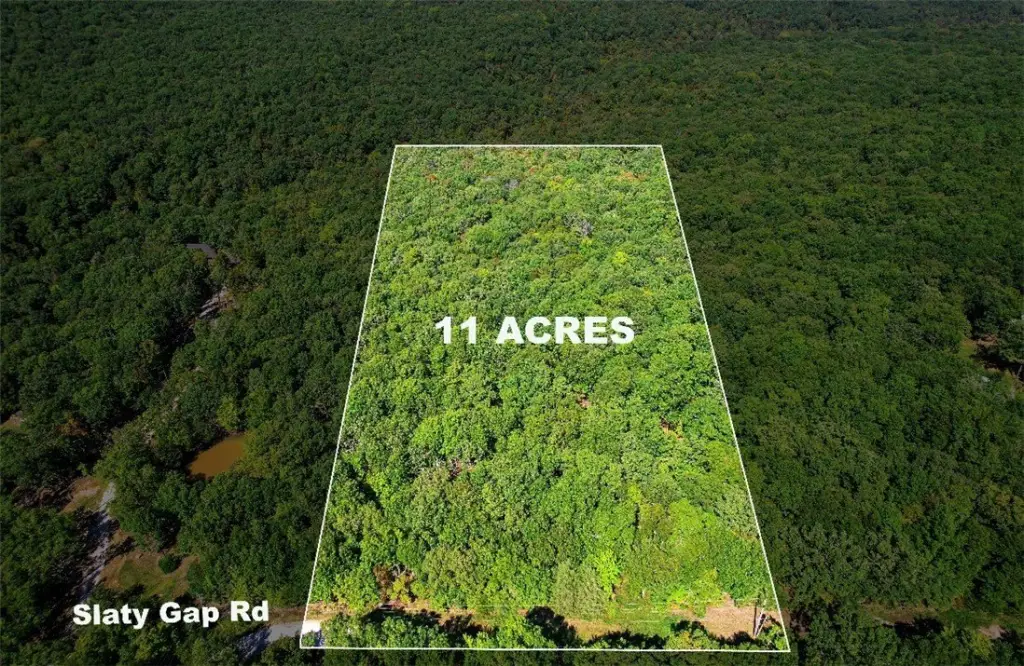
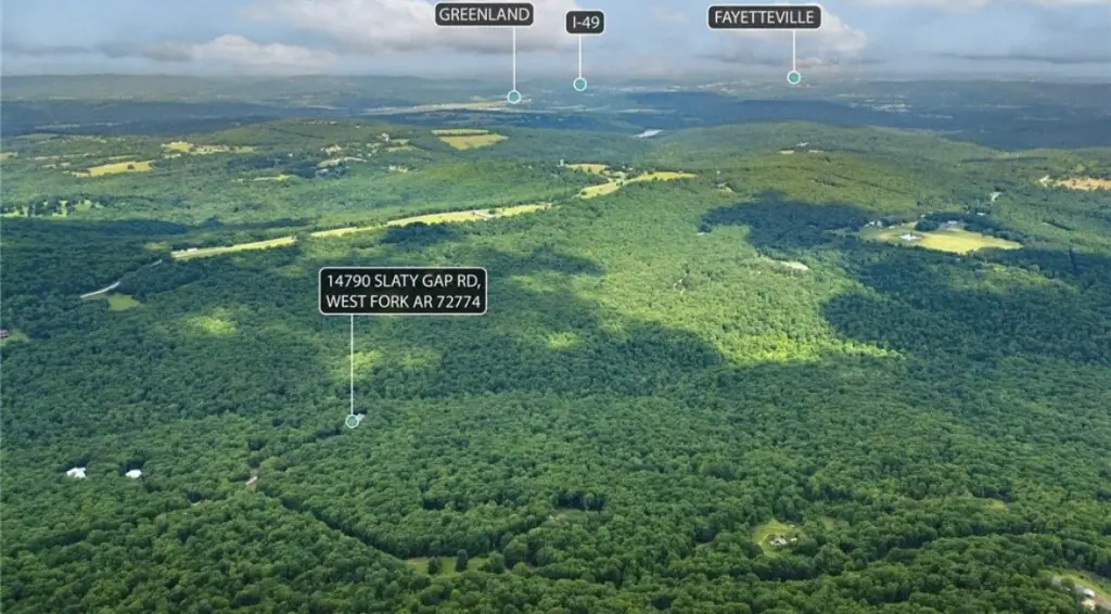
14790 Slaty Gap tract A & B Road, West Fork, AR 72774
Land, West Fork, AR
Property SizeContact for details
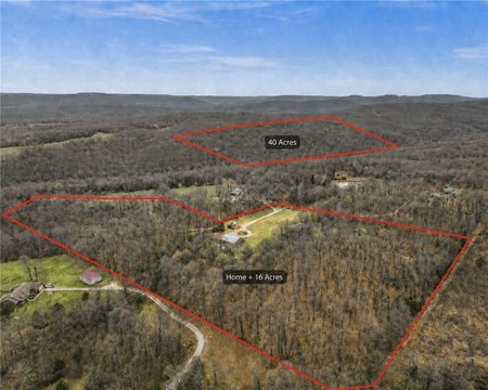
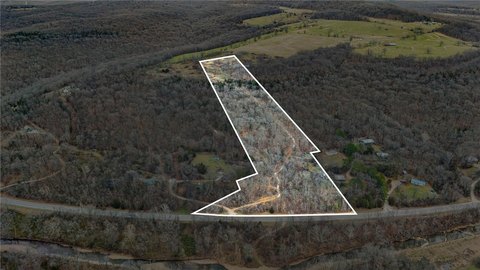
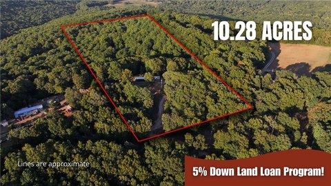
Lot Size29.94 Acres
Days on Market158
Property Features for 14790 Slaty Gap tract A & B Road
General Information
Property type
Land
Property subtype
Other
Vegetation
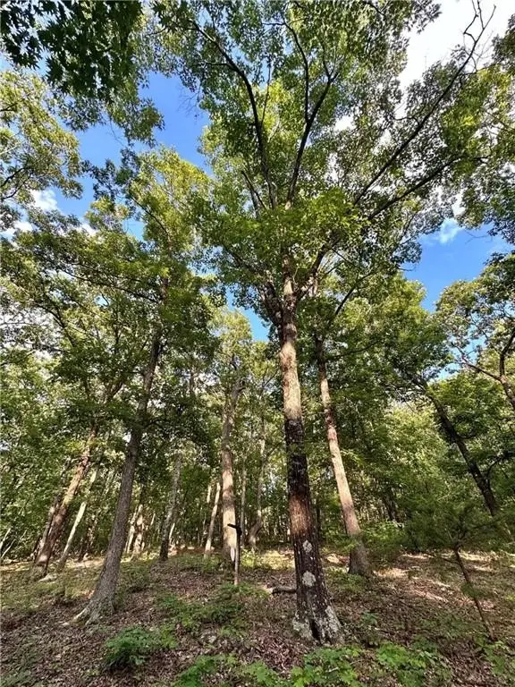
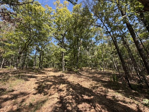
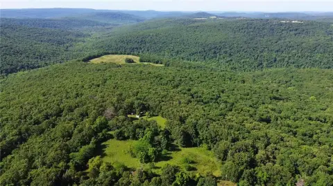
Wooded
Lot features
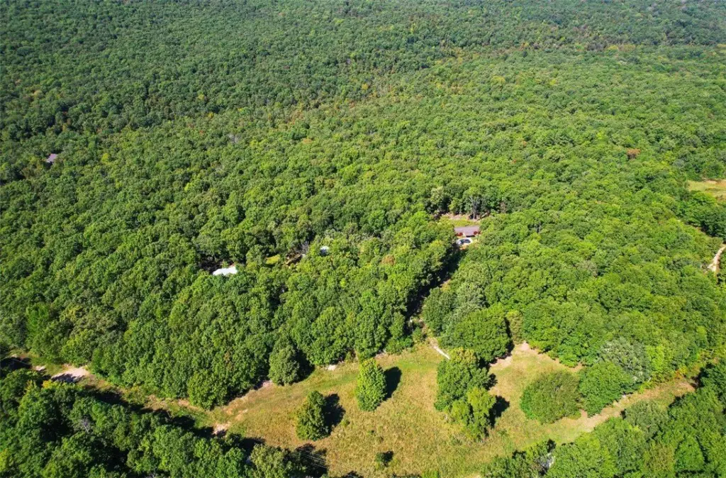
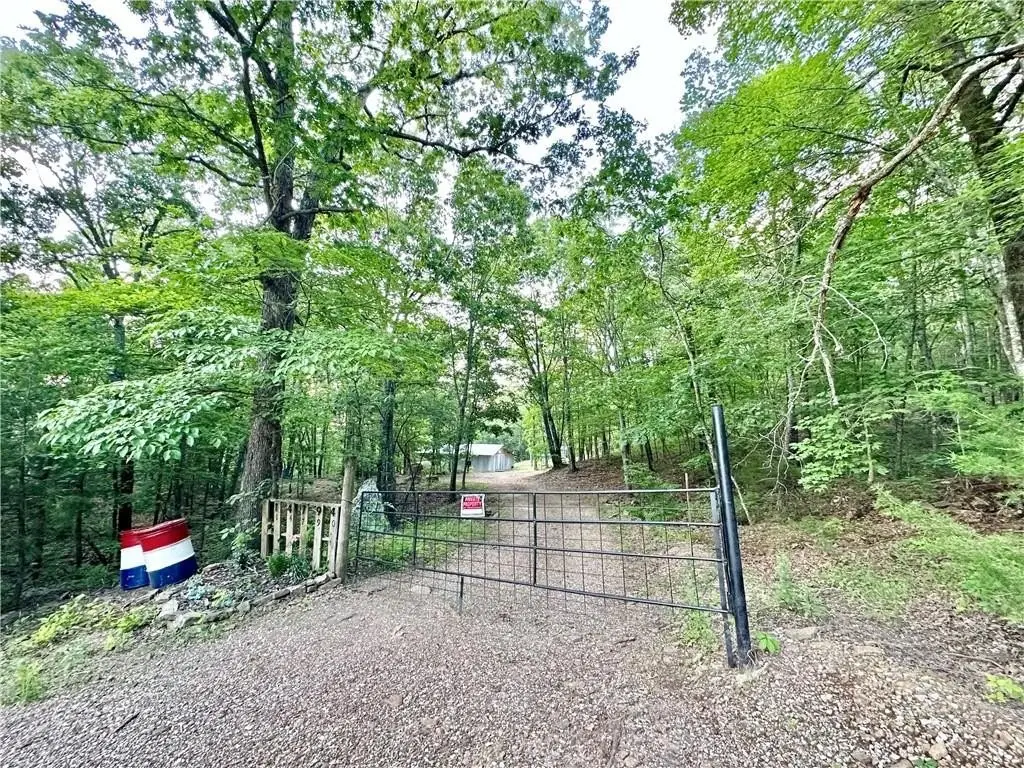
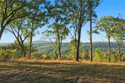
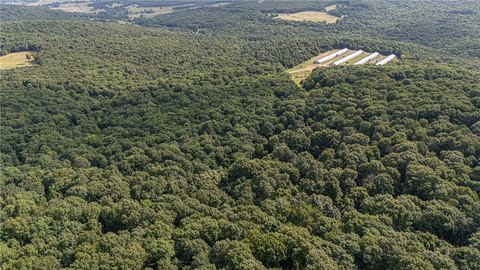
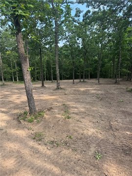
Hardwood Trees, Mobile Home Allowed, Not In Subdivision, Outside City Limits, Recreational, Rural Lot, Secluded, Pond On Lot, Stream Creek, Wooded
Elementary school district
Greenland
Middle school district
Greenland
High school district
Greenland
Directions
From I49 South take exit 61 onto US 71 towards Fayetteville/ then turn ledt onto US 71 South/ Stay on US 71 S for 3.9 miles/turn left onto Wallin Mountain Road/ go approximately 5 miles/Turn left onto Slaty Gap rd. About 1/2 mile, property is on the left.
Standard status
Active
APN
001-06361-004
Lot size
29.94 Acres
Taxes and HOA fees
Tax Description
See attached survey for legal
Tax Annual Amount
397
Legal Description
See attached survey for legal
Utilities
Sewer type
Septic Needed
Water front features
Pond
Water front
1
Listing Agency:
Arkansas Real Estate Group Fayetteville
(479) 318-0433
Listed By:
Tina Stanley · License #SA00084039
(479) 530-1792
Added: May 1
Changed: Sep 2
Last Checked: Oct 4 at 11:06PM
MLS# 1345036
Copyright © 2026 ArkansasONE MLS. All rights reserved. All information provided by the listing agent/broker is deemed reliable but is not guaranteed and should be independently verified.
Investment Insights
Based on property information with market context.
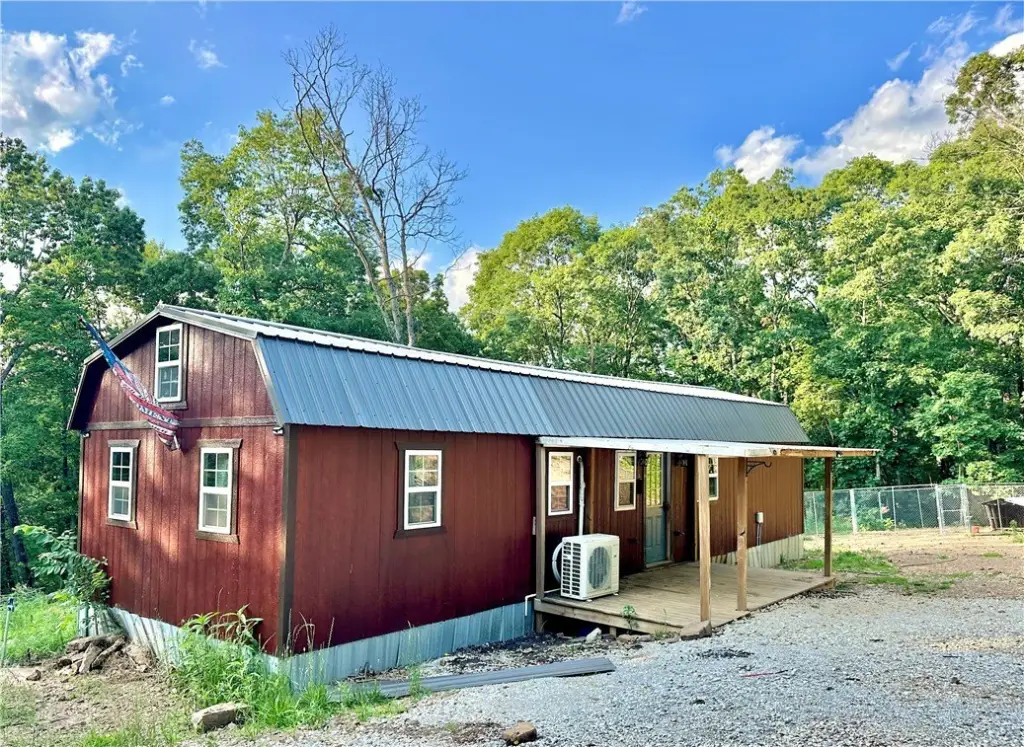
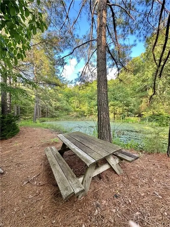
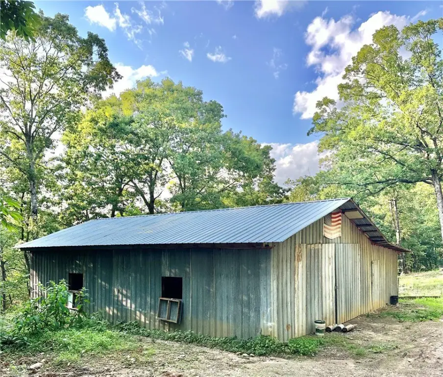
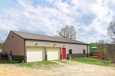
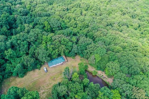
This recreation land property combines wooded terrain with features suited to outdoor use and rural retreats. Improvements include a cabin equipped with water, internet, and electricity, along with a fully insulated barn. A private pond and wet-weather creeks add to the property's natural setting, while abundant wildlife supports recreational and hunting activities.
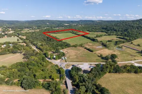
The property is located in West Fork, Arkansas, in Washington County, with access toward Fayetteville, West Fork, and major commuter routes. Downtown Fayetteville is described as being only minutes away. Water, internet, and electricity are present at the cabin; the property information also identifies septic as needed. The land includes a private pond and existing utility service, providing a combination of natural features and on-site improvements.
The property is located in West Fork, Arkansas, in Washington County, with access toward Fayetteville, West Fork, and major commuter routes. Downtown Fayetteville is described as being only minutes away. Water, internet, and electricity are present at the cabin; the property information also identifies septic as needed. The land includes a private pond and existing utility service, providing a combination of natural features and on-site improvements.
Key Highlights
- Cabin includes water, internet, and electricity
- Fully insulated barn included
- Private pond and wet‑weather creeks
Property Analytics
Current Use
Lease Details
Yes
Utilities to site
Location Intelligence
Trade Area within ½ mile
1
Businesses Nearby
Explore this area
Business Placement
Demographics for 72774, AR
6,309
Population
2,882
Households
2.2
Avg Household Size
44
Median Age
31%
College-Educated
91%
High-School Grad
120.1 sq mi
ZIP Area
53
Density / Sq Mi
$70,350
Median Household Income
$42,066
Median Earnings
$1,118
Median Rent
$205,600
Median Home Value

Questions? Ask Rey
Realmo’s AI knows this listing — price, zoning, demand, history. Ask anything.
Frequently Asked Questions
What type of property is this?
Recreation land - Wooded recreational acreage includes a cabin, insulated barn, pond, and wet-weather creeks.
Where is this recreation land located?
The property is located at 14790 Slaty Gap tract A & B Road West Fork, AR.
What is the asking price?
The asking price for this property is $380,000.
What are key features of this property?
This property features: Cabin includes water, internet, and electricity; Fully insulated barn included; Private pond and wet‑weather creeks


