14355 E Rattlesnake Trail, Mayer, AZ 86333
- Added:
- Jun 16, 2026
- Days on Market:
- 6
- Last Refresh:
- Jun 21 at 2:06 pm
Property Features for 14355 E Rattlesnake Trail
General Information
- Property type
- Land
- Property subtype
- Other
- Zoning
- R1L-70/R1-70
- Standard status
- Active
- APN
- 1
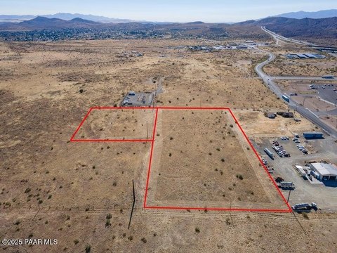
- Lot size
- 2.22 Acres
Taxes and HOA fees
- Tax Year
- 2025
- Tax Description
- A REC PCL NW4SE4NW4 SW COR APPROX 1575'E & 1100'N OF W4 COR SEC 2 4-13-1E CONT 2.22AC
- Tax Annual Amount
- 304
Listing agent C'Ann Simpson License #BR006049000 (928) 848-1818
Listing office Simpson & Company 11470 E Turquoise Circle, Phoenix, AZ (928) 848-1818
Listing date Jun 16, 2026
Copyright © 2026 Prescott Area Association of Realtors®. All rights reserved. All information provided by the listing agent/broker is deemed reliable but is not guaranteed and should be independently verified.
HighLights
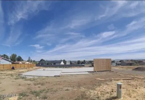
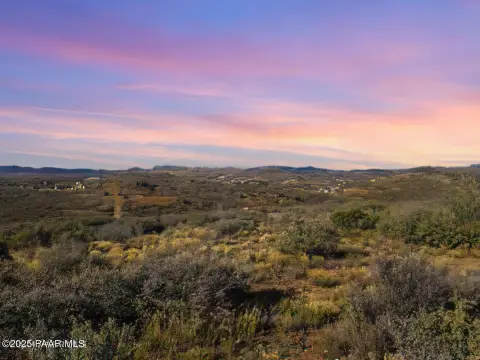
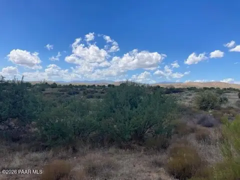
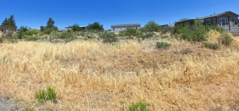
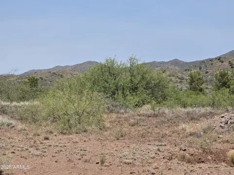
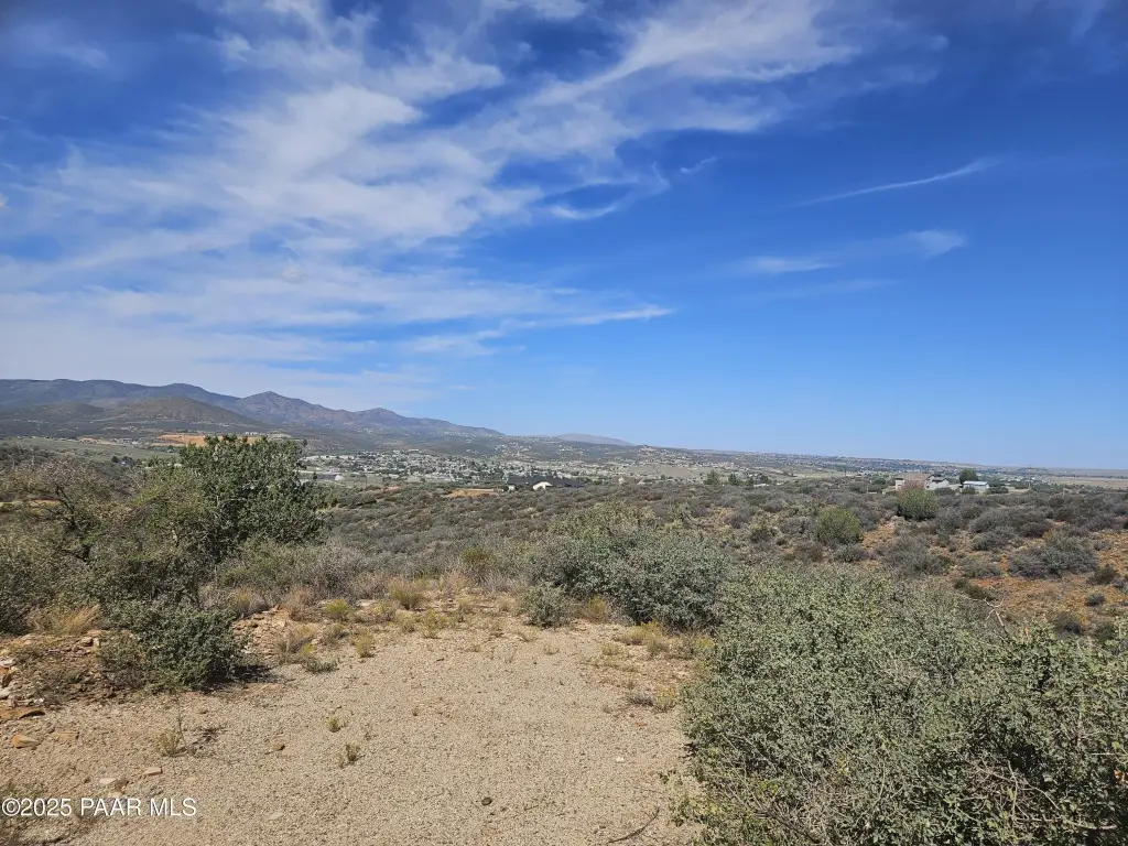
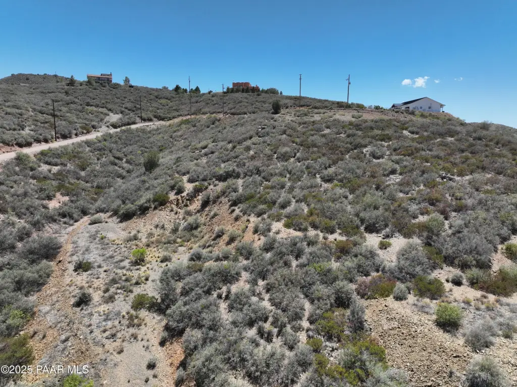
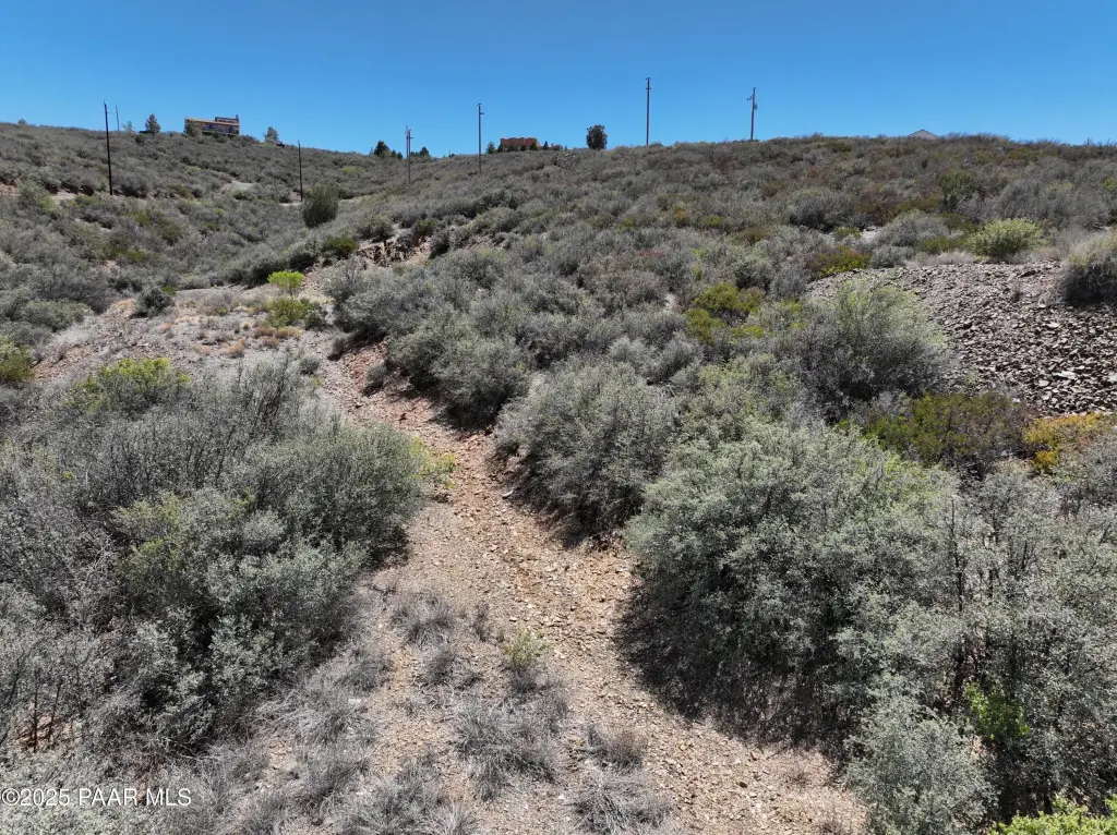
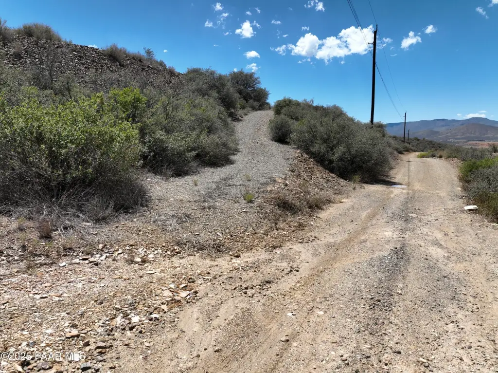
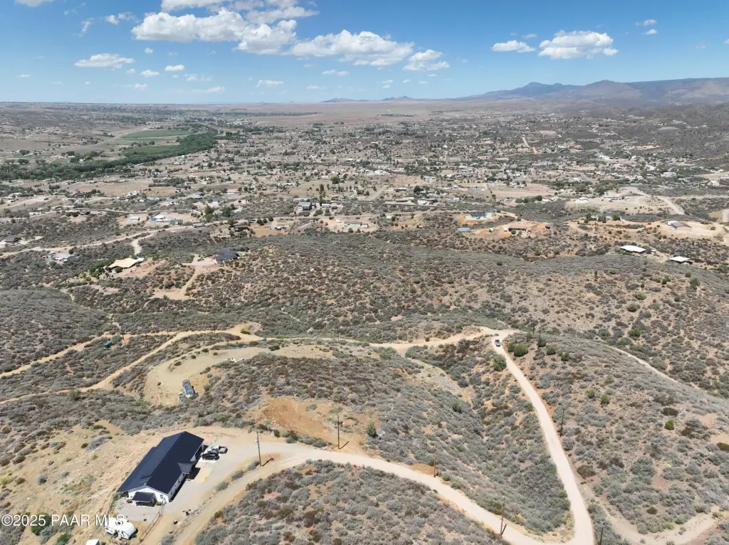
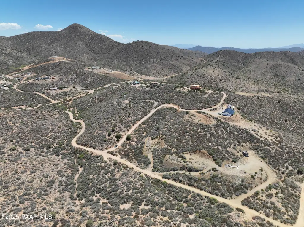
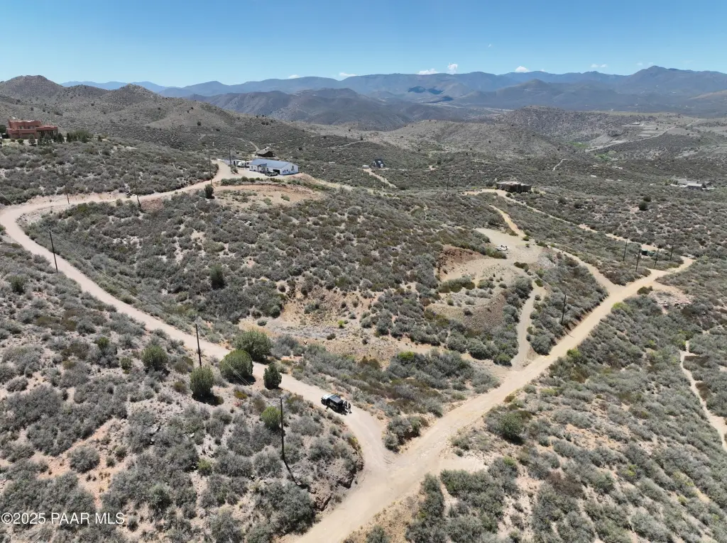
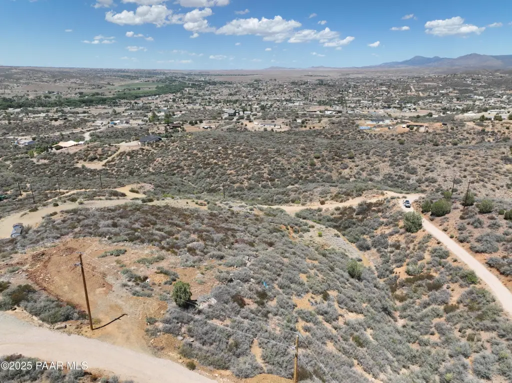
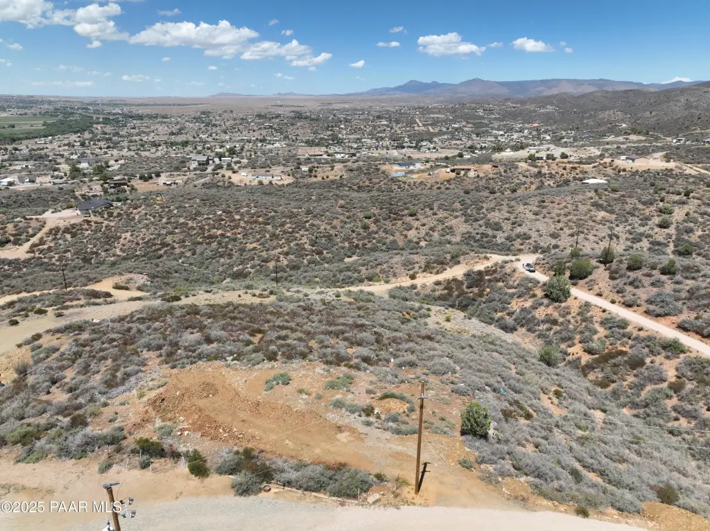
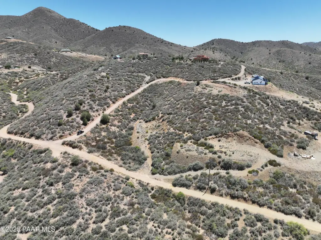
- 2.22‑acre level homesite in the Town of Dewey‑Humboldt
- Non‑HOA property allowing modular, manufactured, and site‑built homes
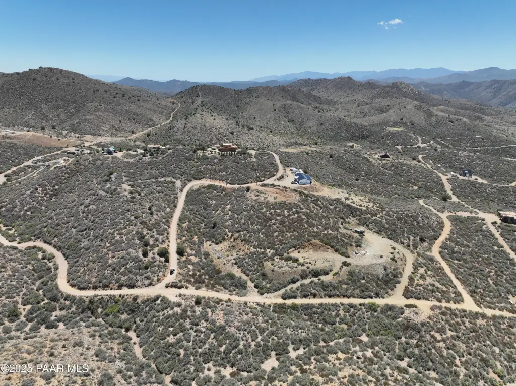
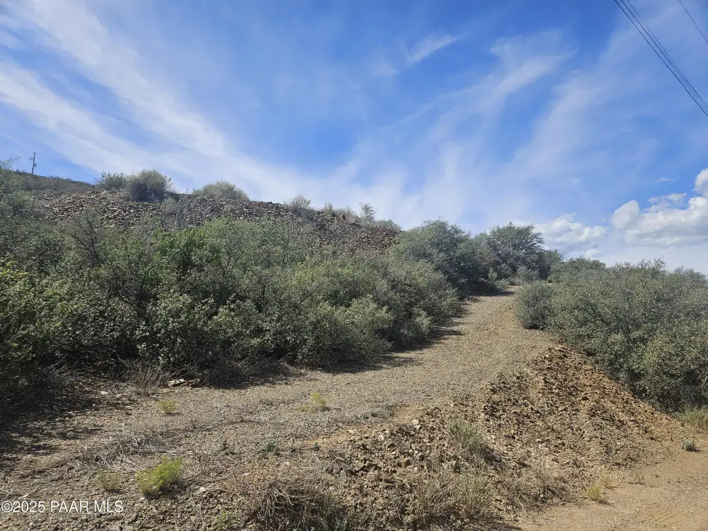
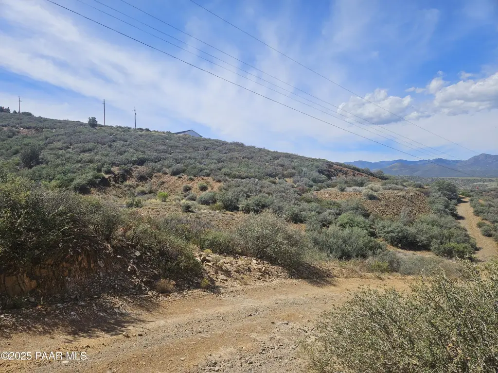
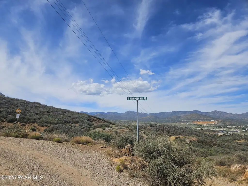
- Access includes a decent gravel road for the last bit to the homesite
- Located near State Land for outdoor recreation such as target shooting and hunting
- Situated for peace and quiet with views from the homesite
Overview
Access includes a “decent gravel road” for the final portion of the route to the site. The area is characterized by newer homes in the vicinity, with a quiet, rural feel. The listing also states the property is close to state land for outdoor recreation, including target shooting, side-by-side riding, and hunting for blue slate rocks.
With R1L-70/R1-70 zoning, this lot can suit buyers planning a primary residence or weekend getaway who want a relatively level homesite to build on, without HOA requirements. The combination of views, non-HOA status, and proximity to state land may also appeal to buyers whose plans include regular recreational use of nearby public lands. The property’s noted gravel access should be considered when evaluating vehicle and construction logistics.
Current Use by Public Records
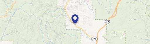
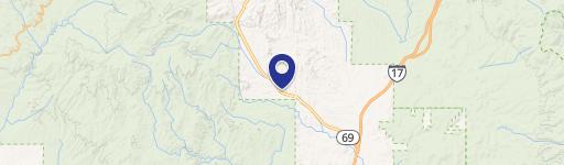
Map
- City
- Mayer
- County
- Yavapai
- State
- Arizona
- Longitude
- -112.2146
- Latitude
- 34.495012