Scenic Land in Burnt
1425 Drovers Trail, Stevensville, MT 59870
For Sale


$287,000
Land, Stevensville, MT
Property SizeContact for details
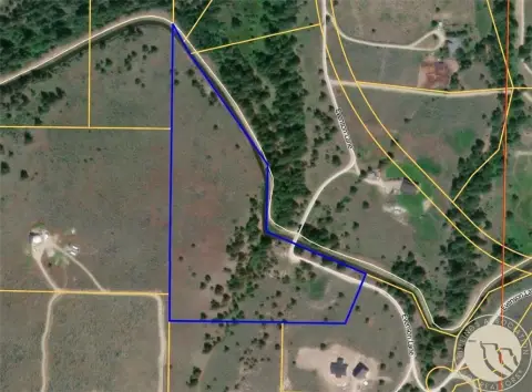
Lot Size4.49 Acres
Days on Market200
Property Features for 1425 Drovers Trail
General Information
Property type
Property subtype
Zoning
Zoning description
Lot features
View
Directions
Standard status
APN
Lot size
Taxes and HOA fees
Tax Year
Tax Description
Tax Annual Amount
HOA Fee
Legal Description
Listing Agency:
EXIT Realty Bitterroot Valley South
(406) 375-9251
Listed By:
Erica Siphers · License MT RRE-RBS-LIC-88093
(406) 360-6191
Added: Apr 24
Changed: Nov 9
Last Checked: Nov 9 at 1:06PM
MLS# 30069554
Copyright © 2026 Montana Regional MLS. All rights reserved. All information provided by the listing agent/broker is deemed reliable but is not guaranteed and should be independently verified.

Ask AI about this property
Review the available facts, identify missing information and prepare questions for the agent.
Investment Insights
Based on property information with market context.
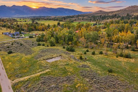
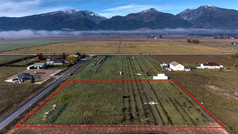
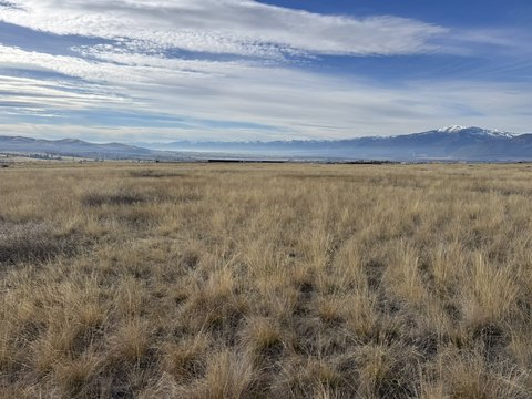
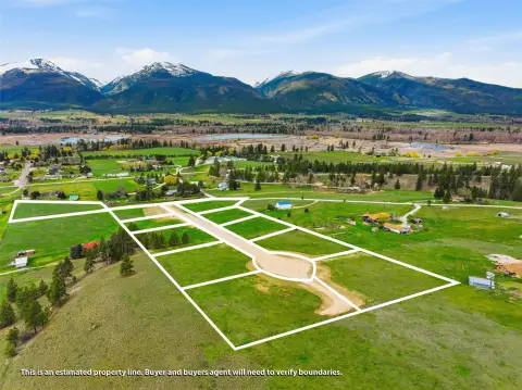
This 4.49-acre parcel is located in the Burnt Fork Valley of the Bitterroot, minutes from Stevensville. The property offers panoramic views of the Bitterroot and Sapphire Mountain Ranges. The land provides year-round access and country living. This property is suited for a custom home, a small homestead, or a recreational retreat.
Key Highlights
- 4.49‑acre parcel in the Burnt Fork Valley.
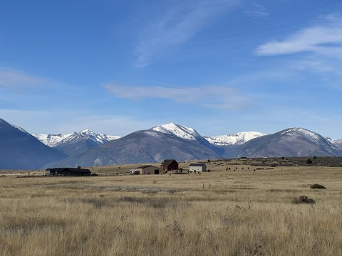
- Breathtaking panoramic views of the Bitterroot and Sapphire Mountain Ranges.
- Easy year‑round access, located not far off pavement.
Property Analytics
Who owns this building?
See the owner, sales and loan history
Open Analytics
Lease Details
Yes
Paved road access
Location Intelligence
Trade Area within ½ mile
3
Businesses Nearby
Explore this area
Business Placement
Demographics for 59870, MT
11,245
Population
5,251
Households
2.1
Avg Household Size
48
Median Age
29%
College-Educated
92%
High-School Grad
255.0 sq mi
ZIP Area
44
Density / Sq Mi
$80,389
Median Household Income
$47,578
Median Earnings
$1,082
Median Rent
$465,800
Median Home Value
Check the figures for this property
Cap Rate, Value Estimation, Potential NOI and more
View Realmo Analytics




Frequently Asked Questions
What type of property is this?
Residential land & home lot - 4.49-acre parcel with panoramic mountain views near Stevensville, MT.
Where is this residential land & home lot located?
The property is located at 1425 Drovers Trail Stevensville, MT.
What is the asking price?
The asking price for this property is $287,000.
What are key features of this property?
This property features: 4.49‑acre parcel in the Burnt Fork Valley.; Breathtaking panoramic views of the Bitterroot and Sapphire Mountain Ranges.; Easy year‑round access, located not far off pavement.