Recreational Hunting Property with
13901 S Fletcher Road Moorefield, NE 69039
For Sale
$1,575,000
LAND - Moorefield, NE
Lot Size640.00 Acres
Days on Market51
Property Features for 13901 S Fletcher Road
General Information
Property type
Land
Property subtype
Other
Standard status
Active
Lot size
640.00 Acres
Taxes and HOA fees
Tax Annual Amount
6757
Listing Agency:
Nebraska Land Brokers, LLC
(308) 532-5263
Listed By:
Duane Mcclain
Added: Jun 10
Changed: Jul 2
Last Checked: Jul 30 at 9:06AM
MLS# 11824734
Copyright © 2026 My State MLS. All rights reserved. All information provided by the listing agent/broker is deemed reliable but is not guaranteed and should be independently verified.
Investment Insights
Based on property information with market context.
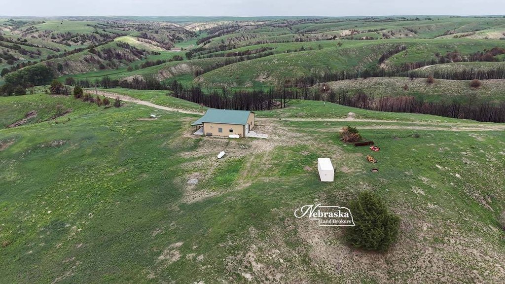
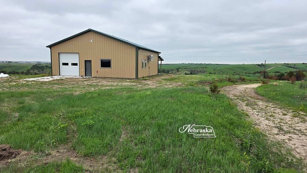
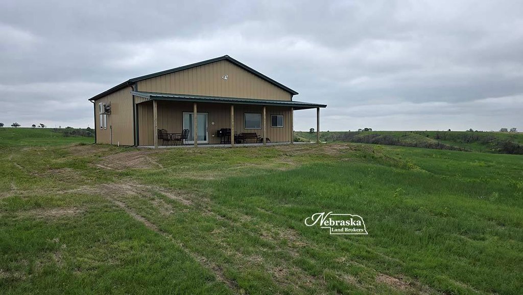
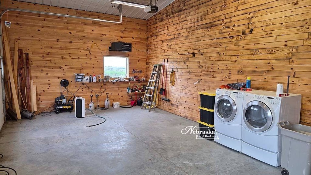
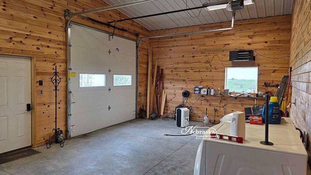
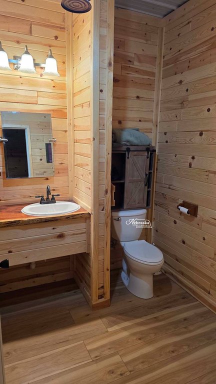
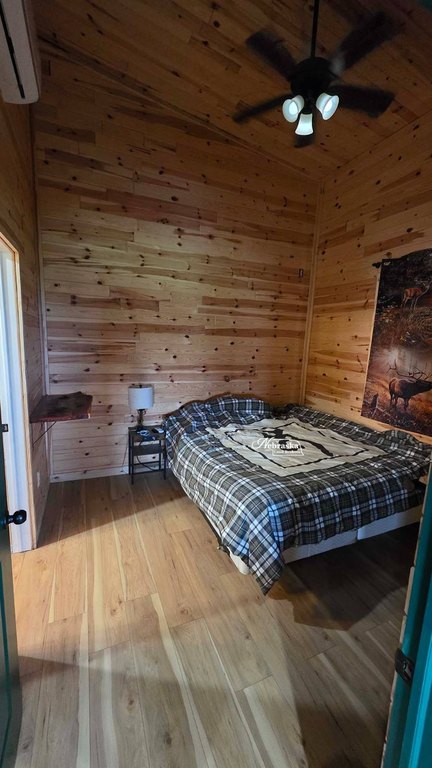
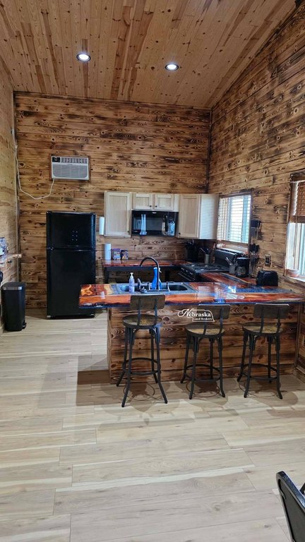
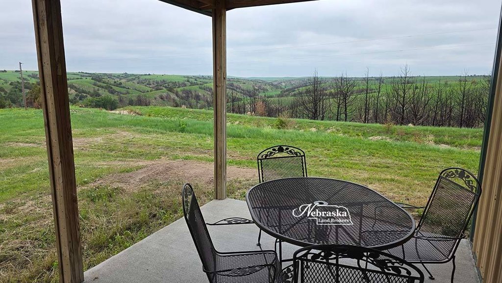
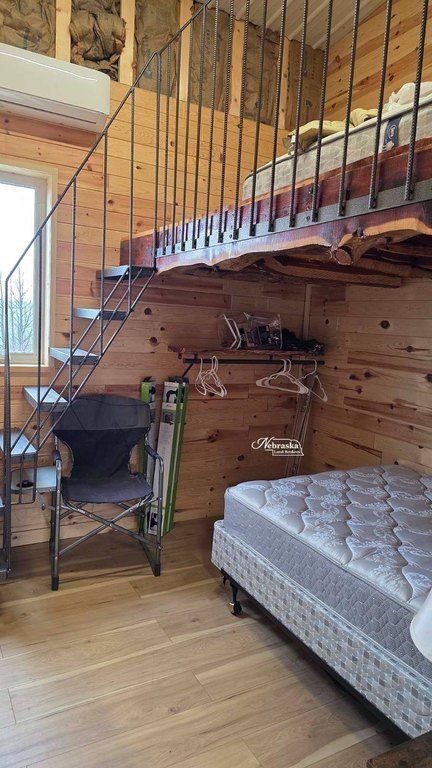
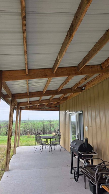
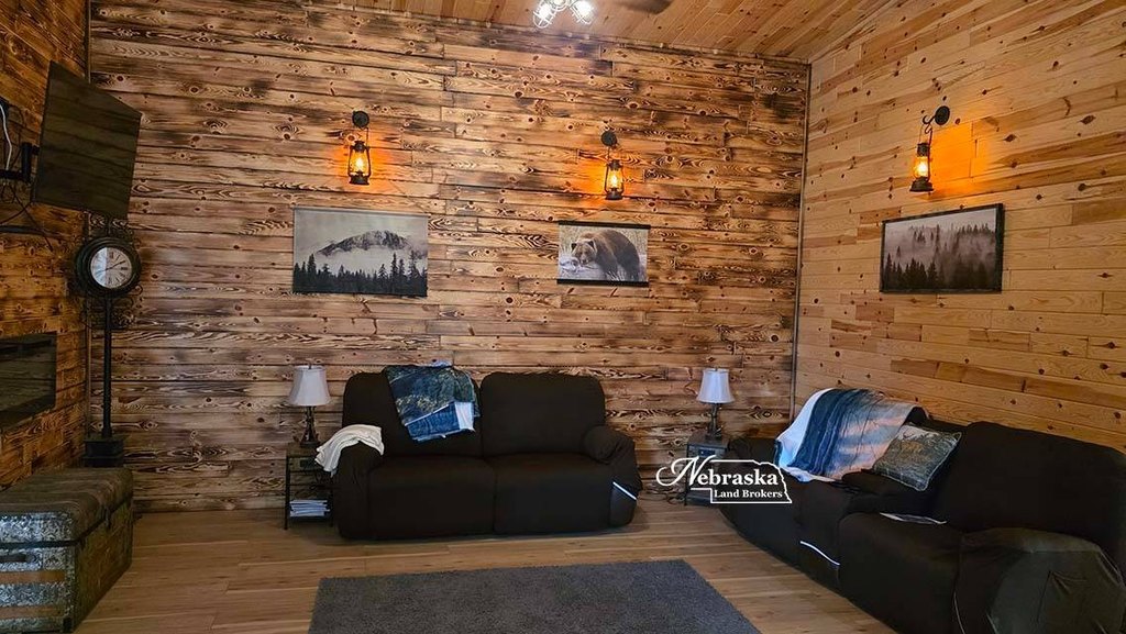
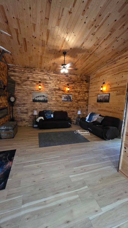
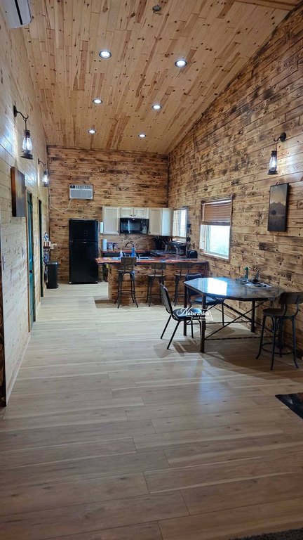
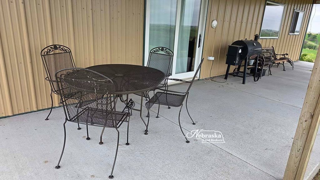
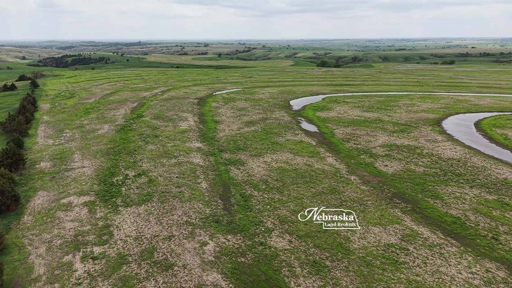
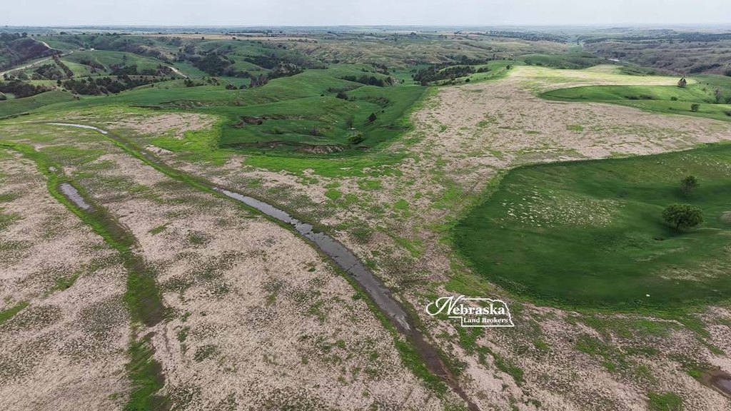
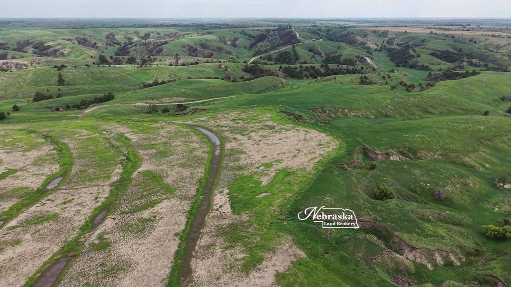
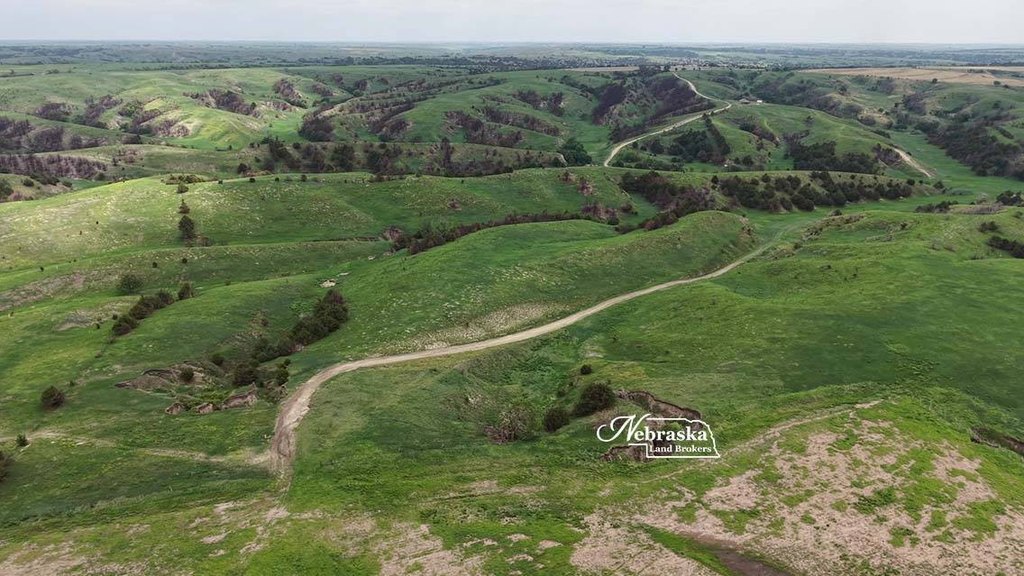
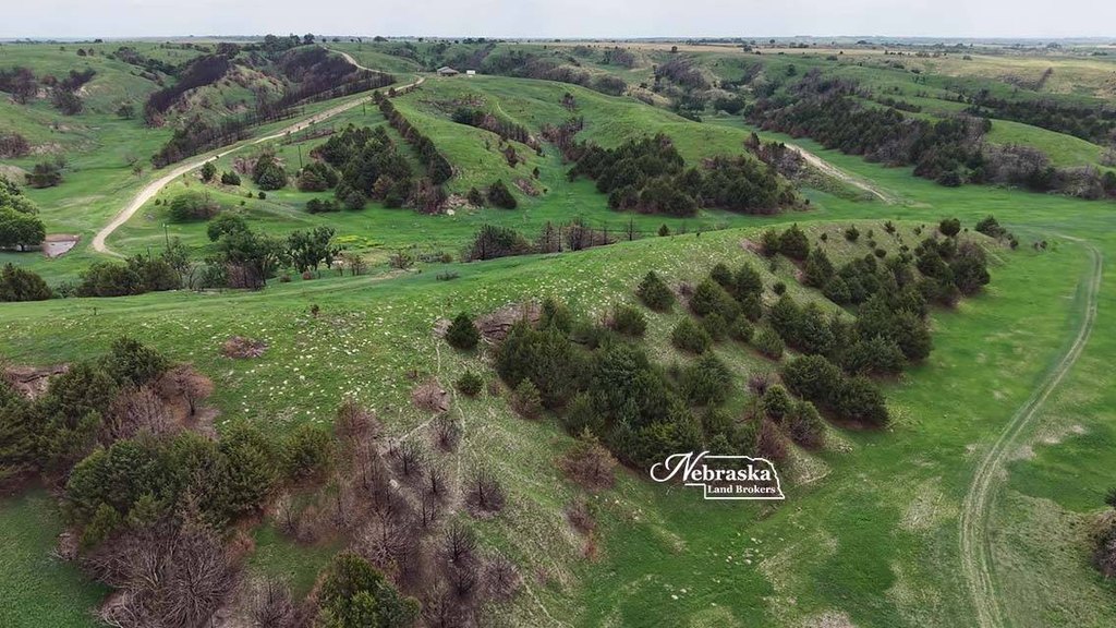
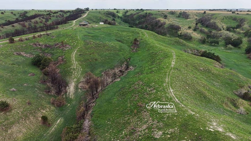
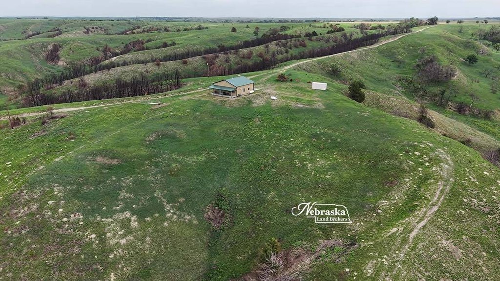
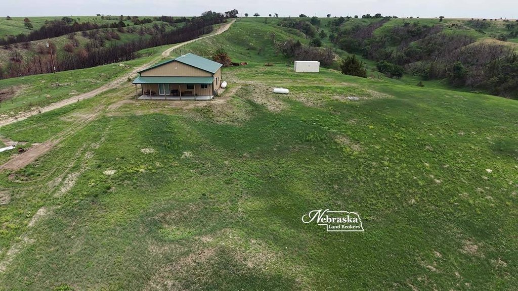
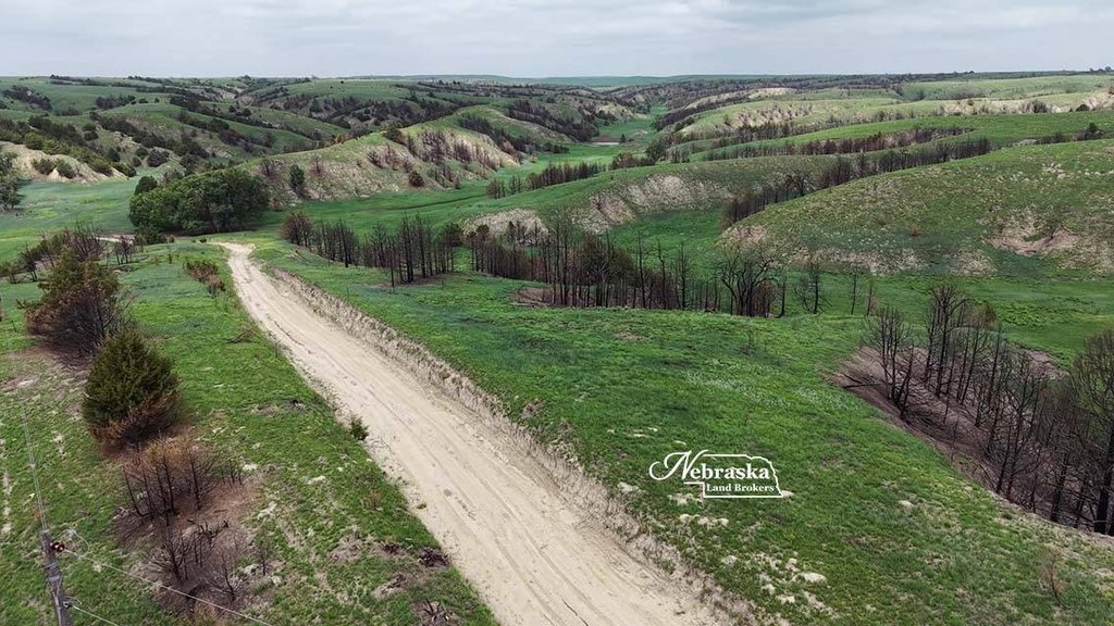
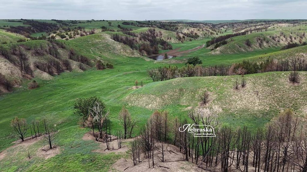
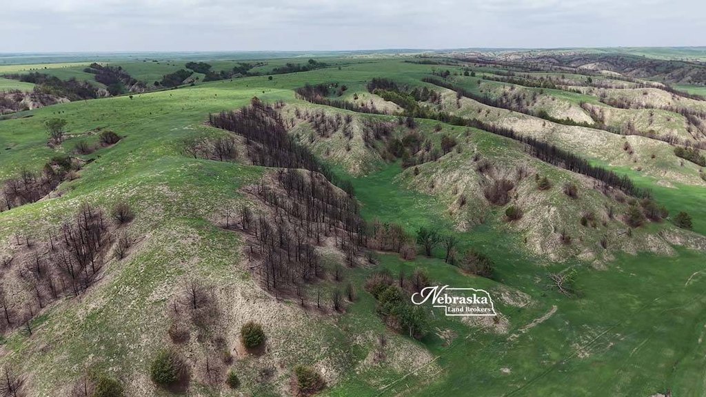
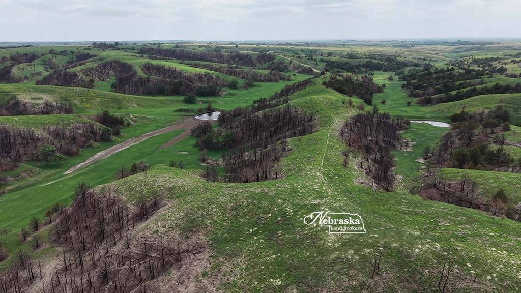
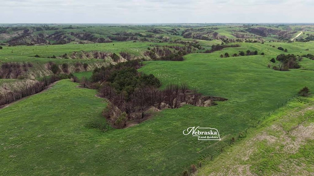
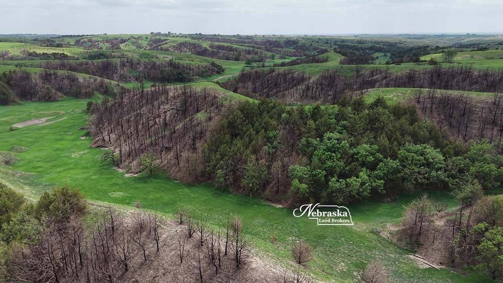
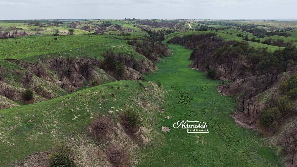
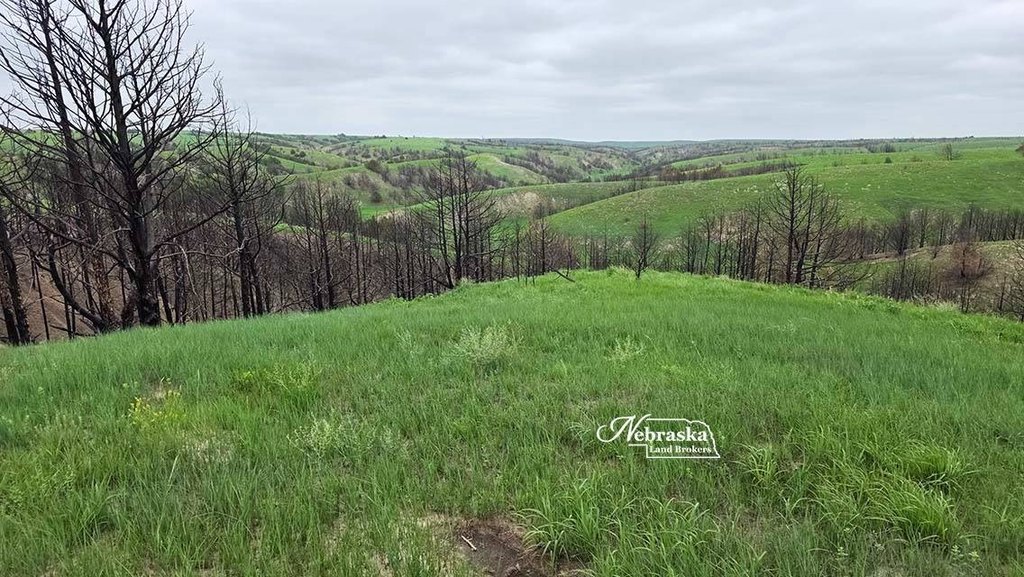
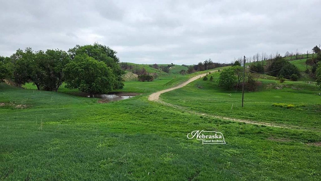
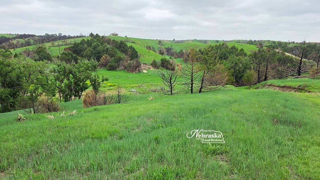
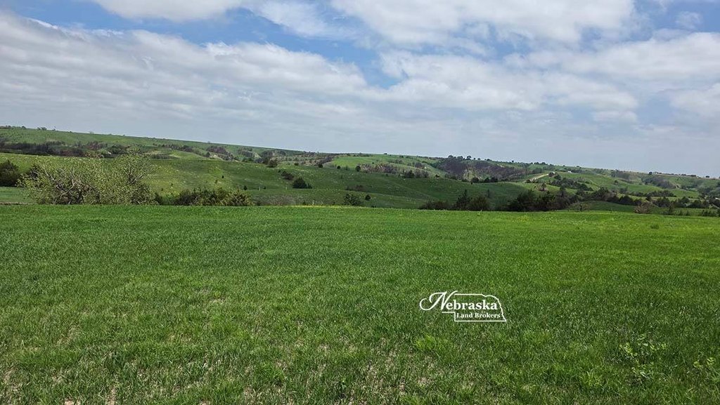
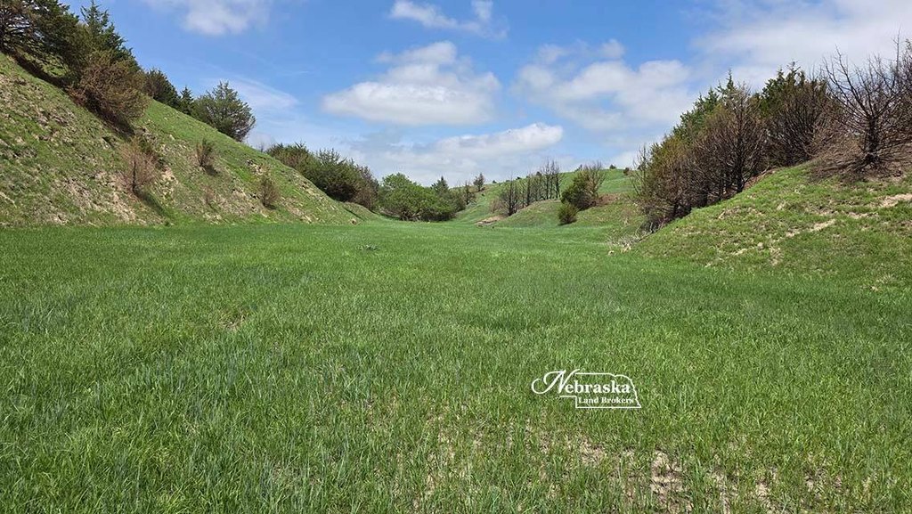
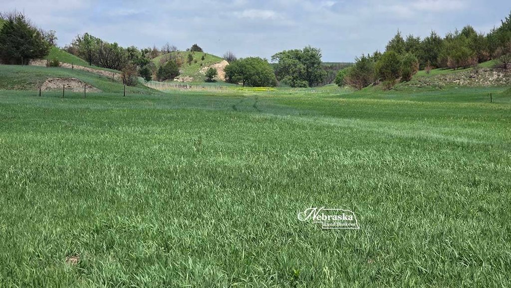
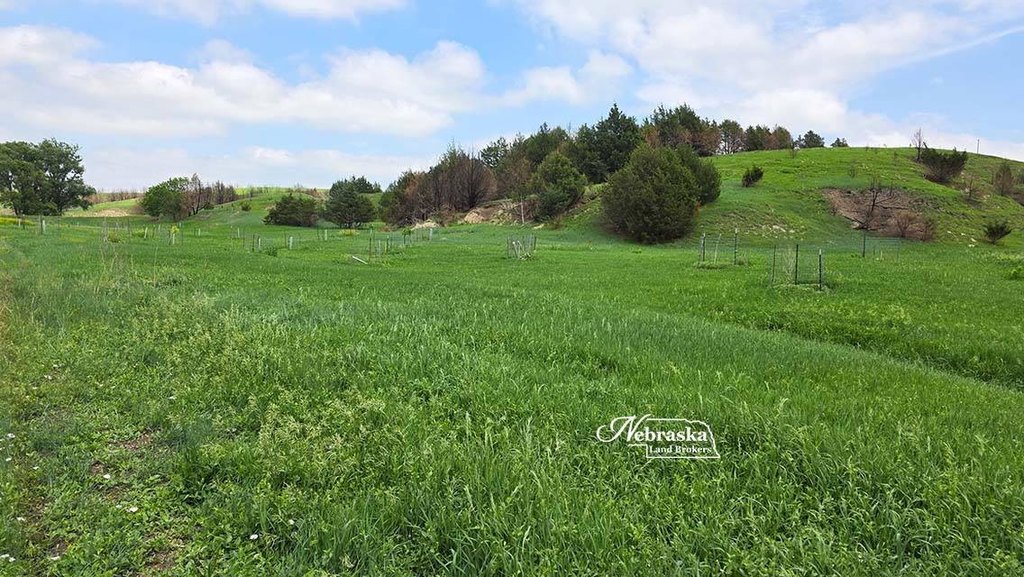
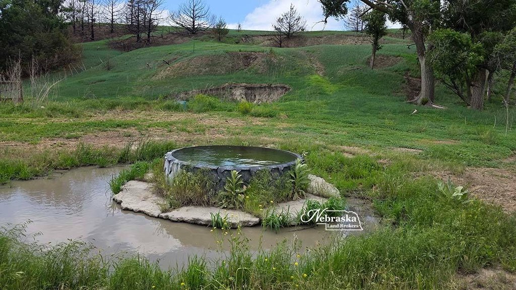
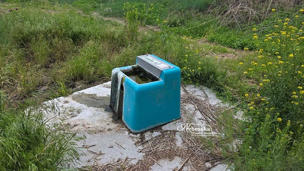
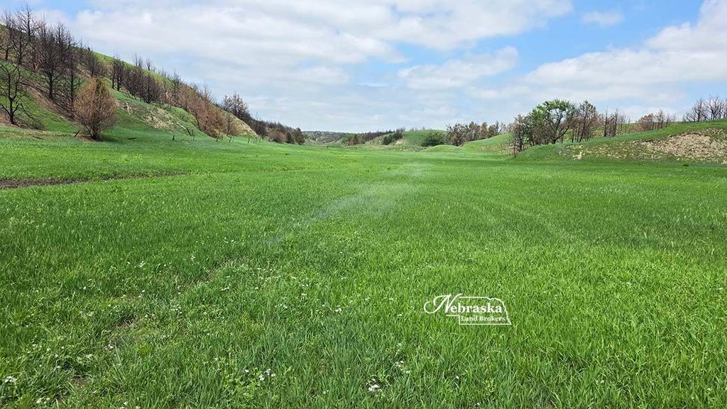
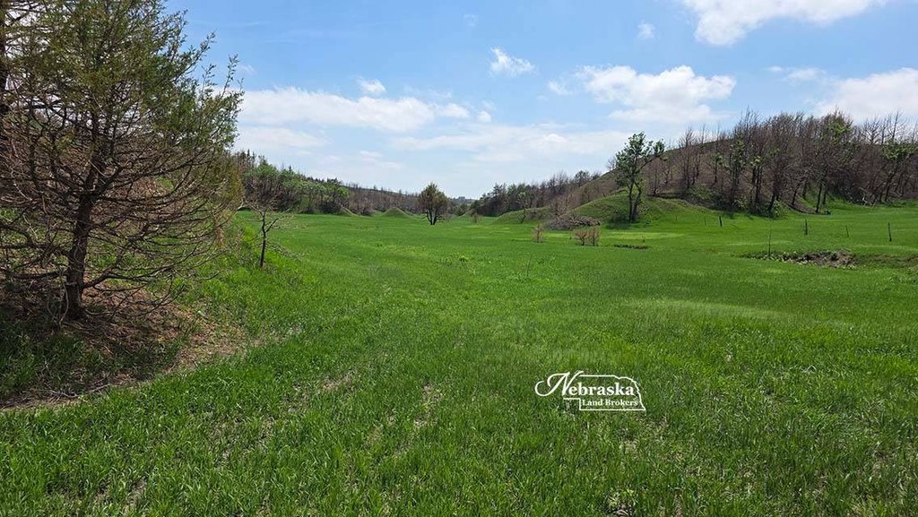
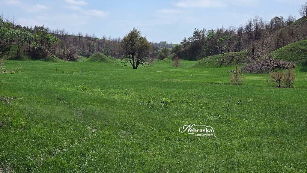
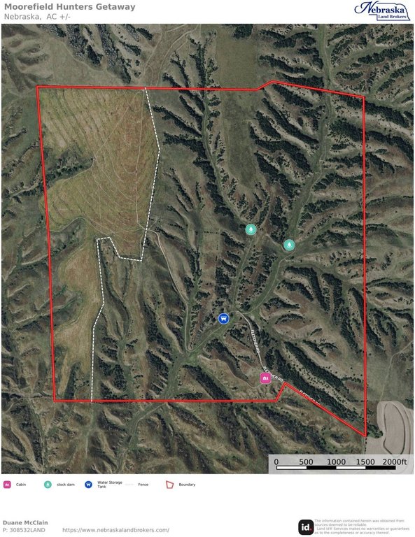
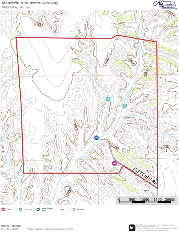
This Moorefield-area hunting and recreation property includes 640+/- taxed acres and a 40' x 40' Lester Steel cabin with a west-side lean-to. The cabin has three bedrooms and two bathrooms, sleeps six, and includes a kitchen and garage. Water is supplied from an electric submersible well to a storage tank and on-demand water heater inside the cabin. Propane serves the stove and heaters, and cooling is provided by a mini-split system. Furnishings are included, and there is also a 20' shipping container for additional storage. The landscape features long north-south canyons, and stock water is supported by a well and tank, with an electric waterer intended as a winter water source for wildlife.
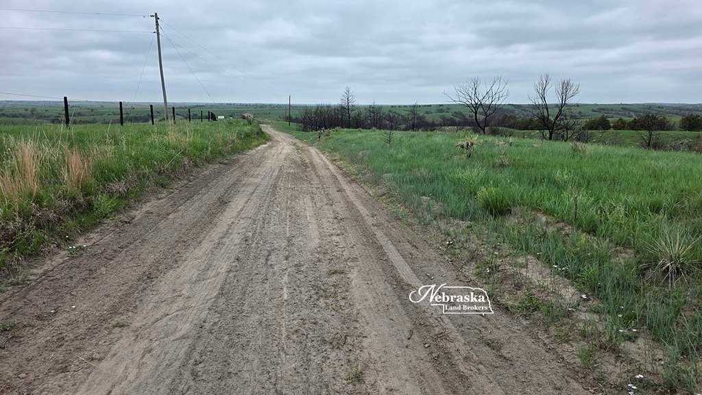
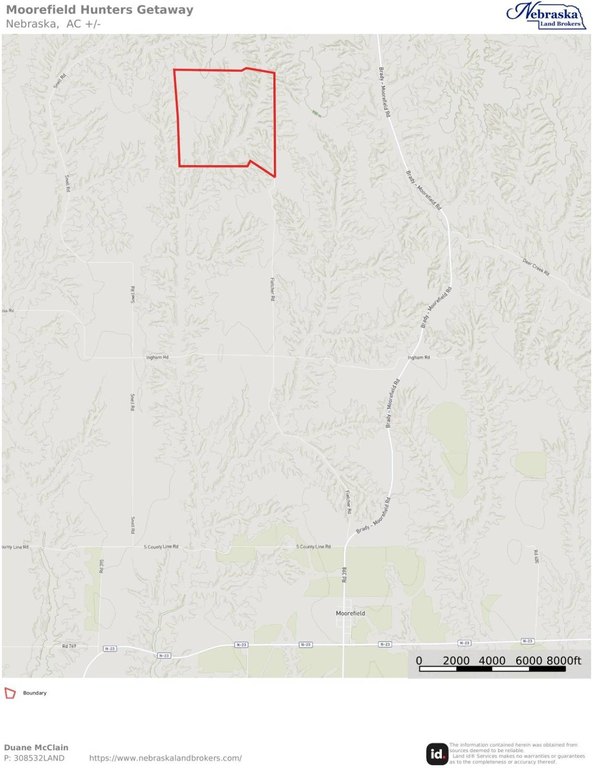
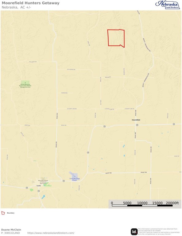
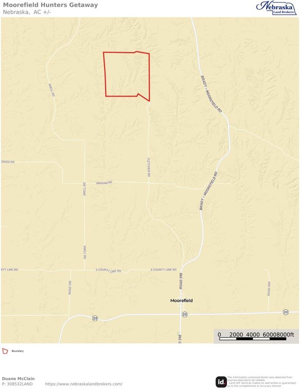
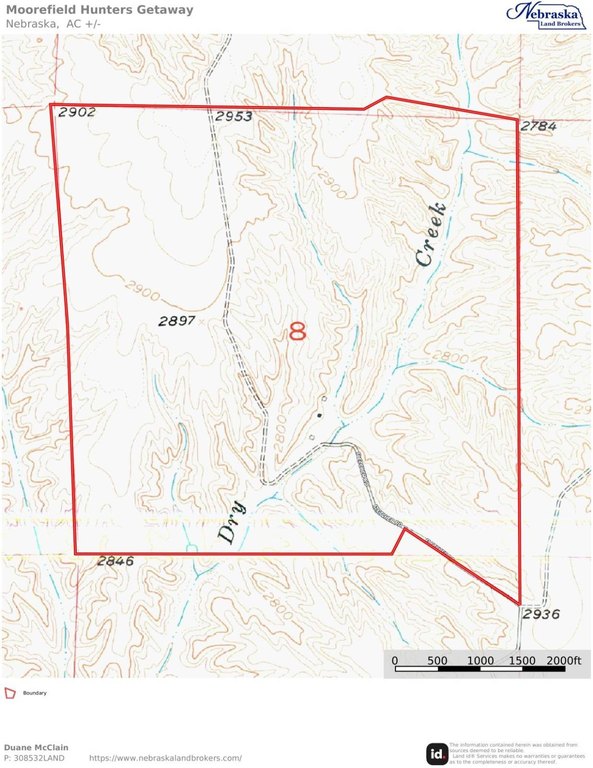
The property is located about 5 miles north of Moorefield, Nebraska, at the end of Fletcher Road in southern Lincoln County. It falls within the Box Elder Elk Management area of Nebraska Game and Parks. The 135.10 acres of non-irrigated cropland in the northwestern portion of the tract are enrolled in USDA FSA CRP SAFE – NE Upland Wildlife, with contract terms expiring in October 2039.
For hunters and outdoor users, the parcel supports mule deer and whitetail deer, along with turkey and upland bird hunting, as well as fur trapping opportunities. The CRP enrollment provides annual payments of $14,042, and the acreage includes fencing that has supported a neighbor grazing arrangement during summers, which the neighbor would like to continue.
Key Highlights
- 640+/- taxed acres in Southern Lincoln County, Nebraska, located 5 miles north of Moorefield, NE at the end of Fletcher Road
- 40' x 40' cabin (Lester Steel building) with 3 bedrooms and 2 bathrooms, sleeping 6, plus furnishings included
- Box Elder Elk Management area with long canyon terrain running north and south; elk and deer still seen on the property
Property Analytics
Property Profile
Location Intelligence
Current Use
Frequently Asked Questions
What type of property is this?
Hunting land - Mixed-use hunting, recreation, and enrolled CRP income support, with a 40-by-40 cabin and on-site water systems.
Where is this hunting land located?
The property is located at 13901 S Fletcher Road Moorefield, NE.
What is the asking price?
The asking price for this property is $1,575,000.
What are key features of this property?
This property features: 640+/- taxed acres in Southern Lincoln County, Nebraska, located 5 miles north of Moorefield, NE at the end of Fletcher Road; 40' x 40' cabin (Lester Steel building) with 3 bedrooms and 2 bathrooms, sleeping 6, plus furnishings included; Box Elder Elk Management area with long canyon terrain running north and south; elk and deer still seen on the property


