Patented Mining
For Sale
Contact for pricing
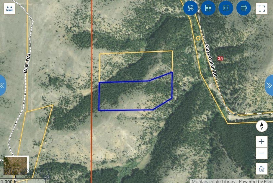
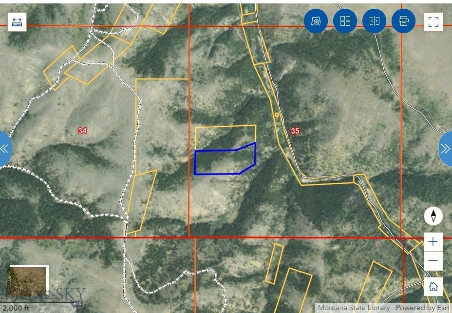
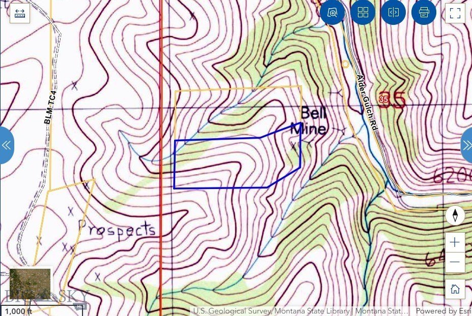
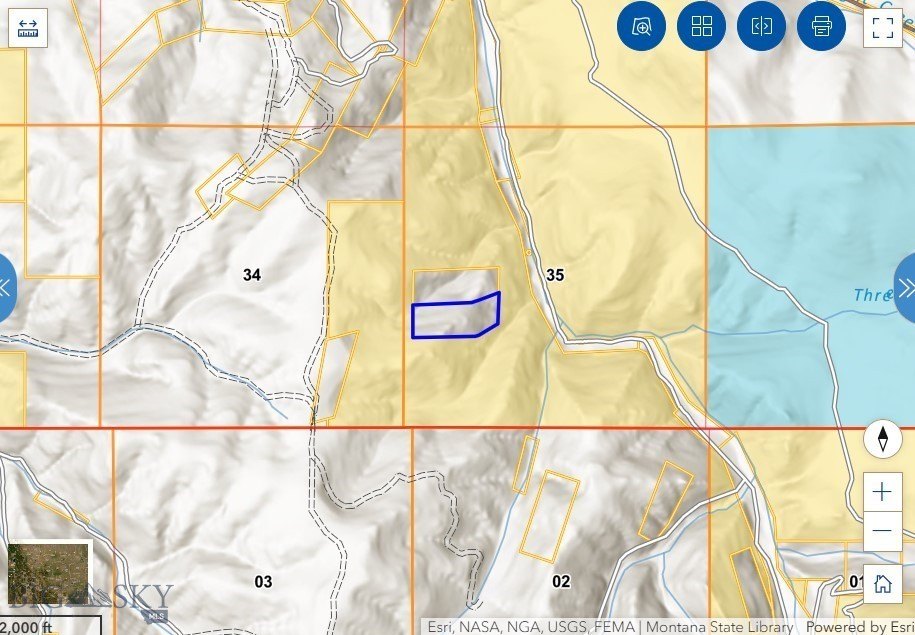
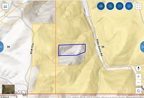
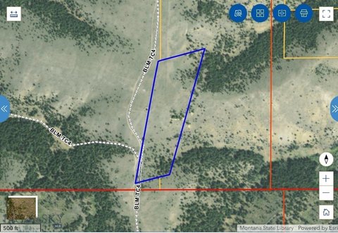
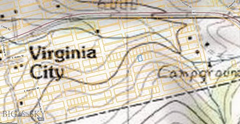
Bell Lode Survey 1320 ME 1021 lot 53, Virginia City, MT 59729
Land, Virginia City, MT
Property SizeContact for details
Lot Size19.48 Acres
Days on Market777
Property Features for Bell Lode Survey 1320 ME 1021 lot 53
General Information
Property type
Land
Property subtype
Other
Zoning description
None/Unknown
Lot features
Adjacent To Public Land
Directions
Text Listing Agents for OnX link
Subdivision
7M - Madison County
Standard status
Active
APN
0002301000
Lot size
19.48 Acres
Taxes and HOA fees
Tax Year
2022
Tax Description
S35, T06 S, R03 W, ACRES 19.48, BELL 1021 Full Legal: an undivided 7 1/2% interest in the Bell Lode, Survey No. 1320, M.E. No. 1021, Lot 53, Located in Section 35, Township 6 South, Range 3 West, M.P.M., and more particularly described as in the Patent recorded in Book 42, Page 105
Tax Annual Amount
6
Legal Description
S35, T06 S, R03 W, ACRES 19.48, BELL 1021 Full Legal: an undivided 7 1/2% interest in the Bell Lode, Survey No. 1320, M.E. No. 1021, Lot 53, Located in Section 35, Township 6 South, Range 3 West, M.P.M., and more particularly described as in the Patent recorded in Book 42, Page 105
Listing Agency:
Venture West Realty
(406) 522-9378
Listed By:
DeHart Home Hunters · License #RBS-79003
(406) 560-8288
Added: Aug 20, 2024
Changed: Aug 19
Last Checked: Oct 5 at 11:06AM
MLS# 395057
Copyright © 2026 Big Sky Country MLS. All rights reserved. All information provided by the listing agent/broker is deemed reliable but is not guaranteed and should be independently verified.
Investment Insights
Based on property information with market context.
Bell Lode Survey #1320 encompasses 19.48 acres in Madison County near Virginia City, Montana. The property is held as an undivided 7.5% fractional interest shared with approximately nine additional owners. Surface and mineral rights are included through the patented claim, supporting the property's mining-land classification.
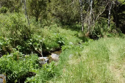
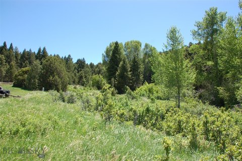
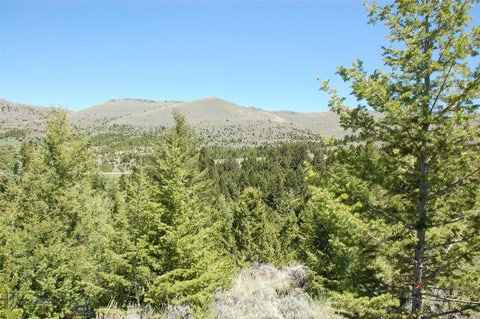
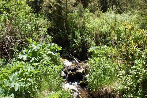
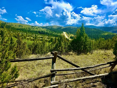
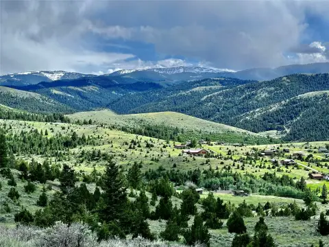
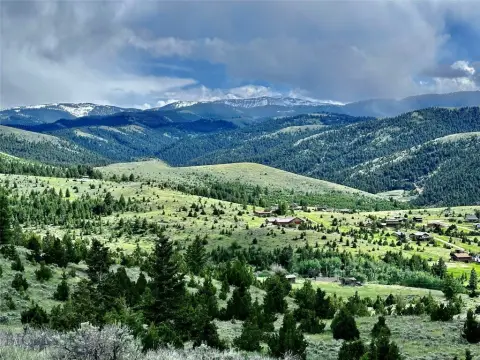
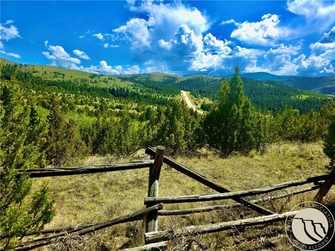
The parcel features timbered terrain with deer and elk habitat, scenic viewpoints, and surrounding BLM land on three sides. Lewis & Clark National Forest is identified in the property information as being nearby. Recreational activities described for the land include primitive camping, hunting, prospecting, and getaway use, with potential to search for gold, silver, garnets, and base metal minerals.
The parcel features timbered terrain with deer and elk habitat, scenic viewpoints, and surrounding BLM land on three sides. Lewis & Clark National Forest is identified in the property information as being nearby. Recreational activities described for the land include primitive camping, hunting, prospecting, and getaway use, with potential to search for gold, silver, garnets, and base metal minerals.
Key Highlights
- 19.48‑acre Bell Lode Survey #1320 parcel near Virginia City, MT
- Undivided 7.5% fractional ownership interest
- Surface and mineral rights included through a patented claim
Property Analytics
Current Use
Lease Details
Yes
Water rights
Location Intelligence
Trade Area within ½ mile
2
Businesses Nearby
Explore this area
Business Placement
Demographics for 59729, MT
2,684
Population
1,636
Households
1.6
Avg Household Size
53
Median Age
38%
College-Educated
97%
High-School Grad
465.4 sq mi
ZIP Area
6
Density / Sq Mi
$75,625
Median Household Income
$41,831
Median Earnings
$1,447
Median Rent
$475,200
Median Home Value
Market
Vacancy Rate% for Industrial in West region

Questions? Ask Rey
Realmo’s AI knows this listing — price, zoning, demand, history. Ask anything.
Frequently Asked Questions
What type of property is this?
Mining land & claim - Fractional mining land with surface and mineral rights and recreational use potential.
Where is this mining land & claim located?
The property is located at Bell Lode Survey 1320 ME 1021 lot 53 Virginia City, MT.
What are key features of this property?
This property features: 19.48‑acre Bell Lode Survey #1320 parcel near Virginia City, MT; Undivided 7.5% fractional ownership interest; Surface and mineral rights included through a patented claim


