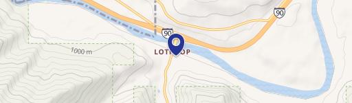
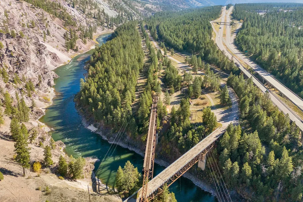
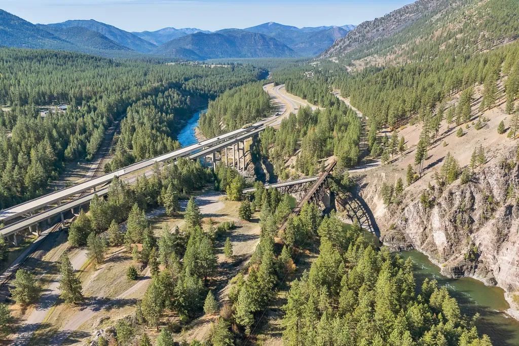
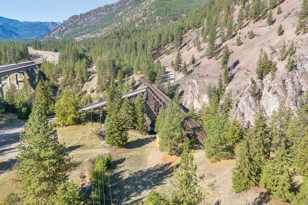
4016 Old Hwy 10 W, Alberton, MT 59820
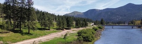
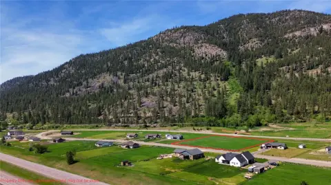
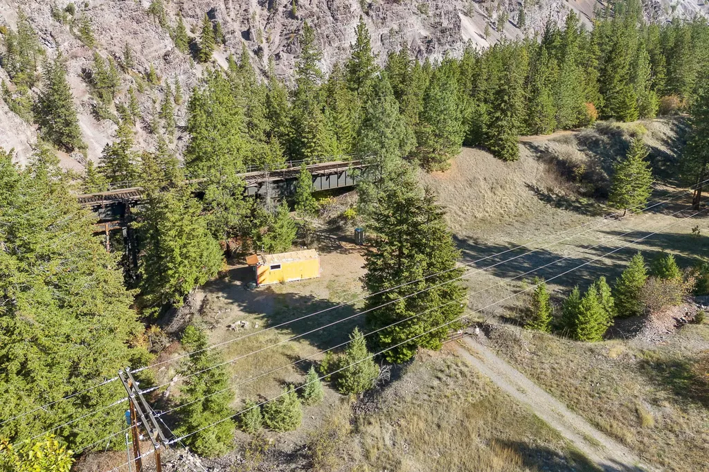
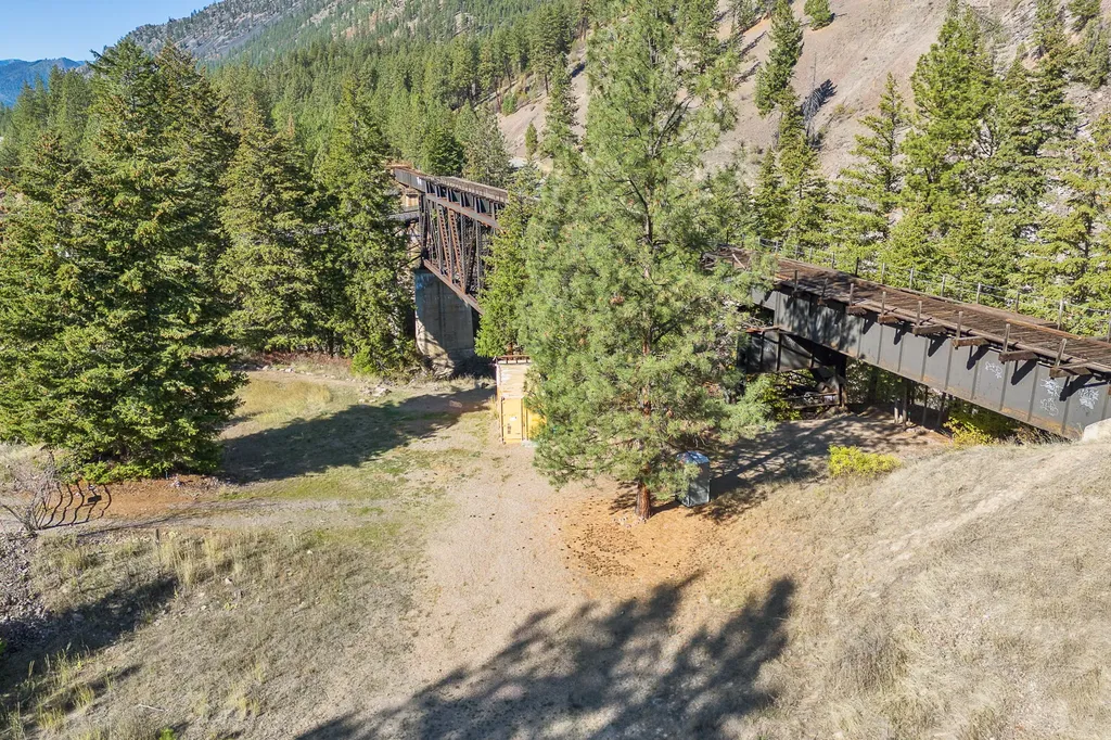
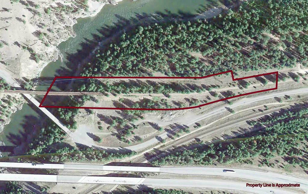
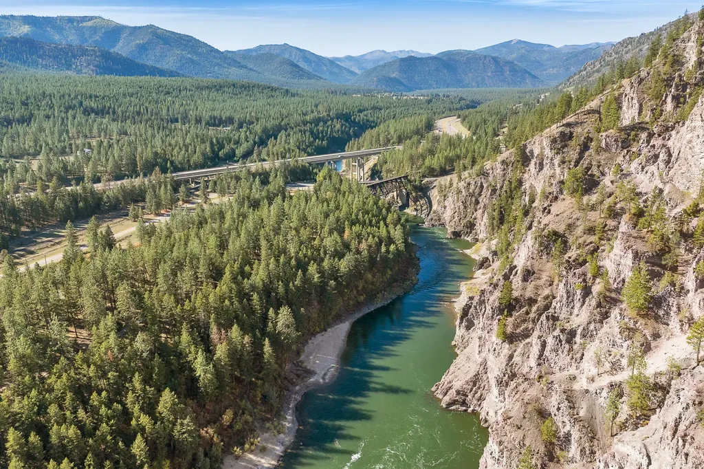
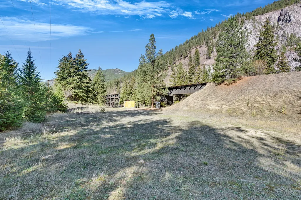
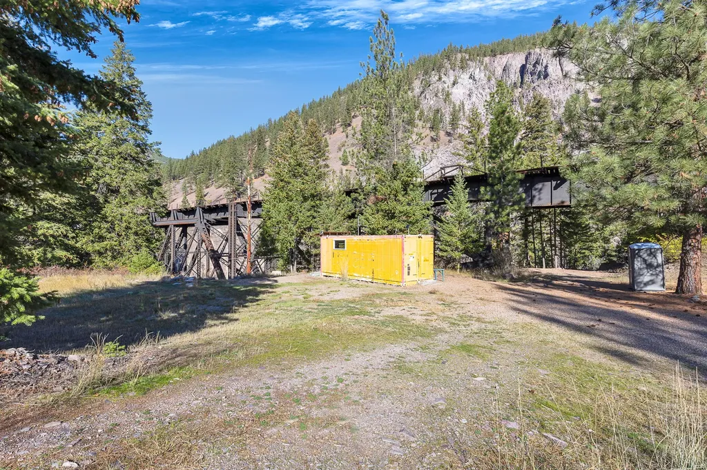
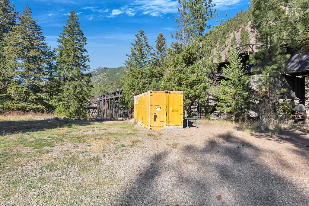
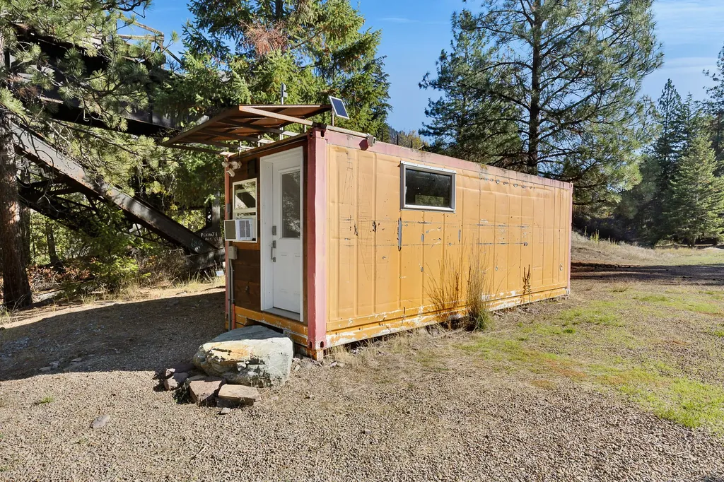
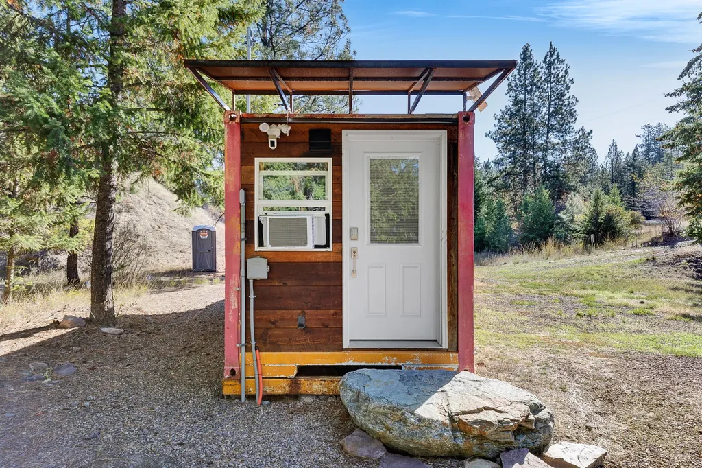
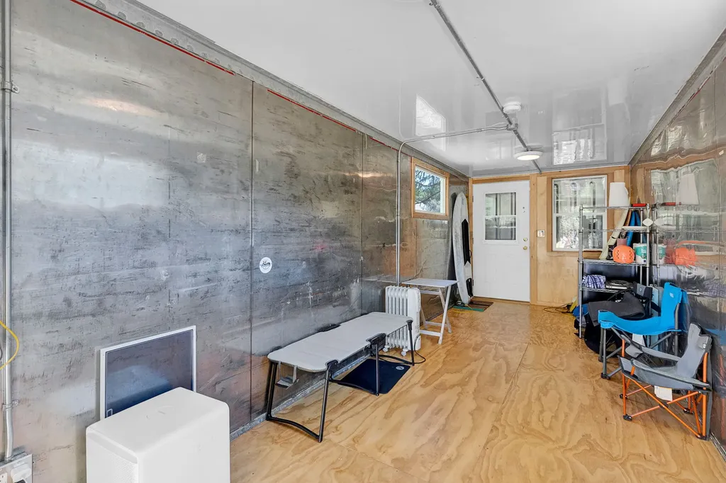
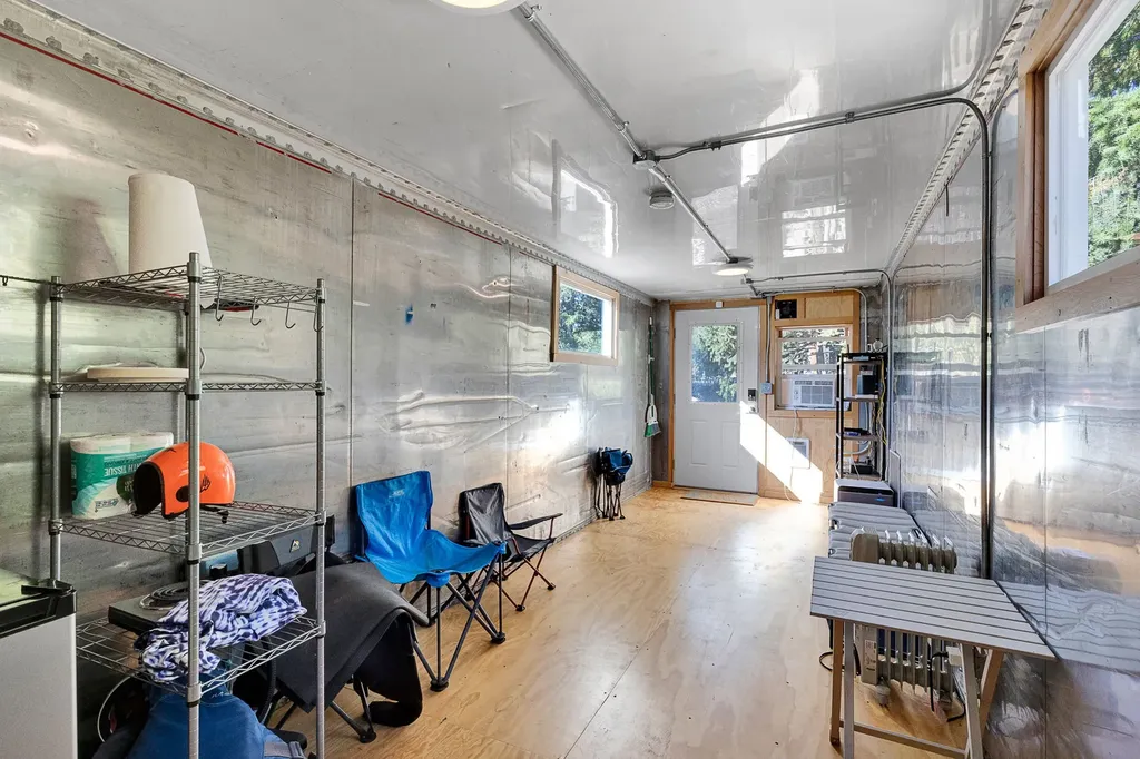
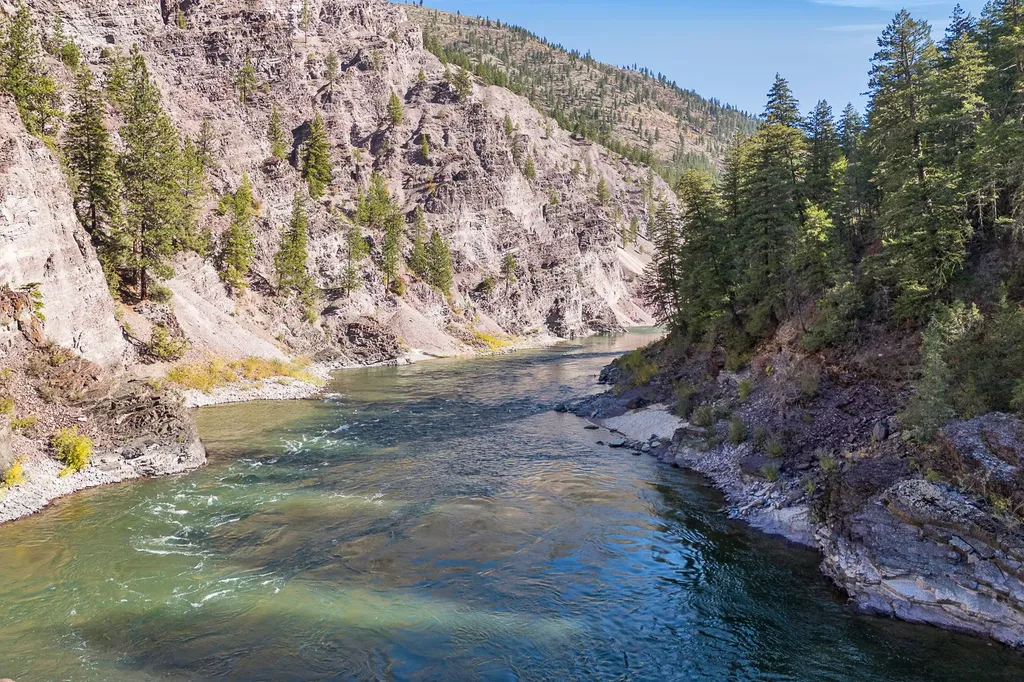
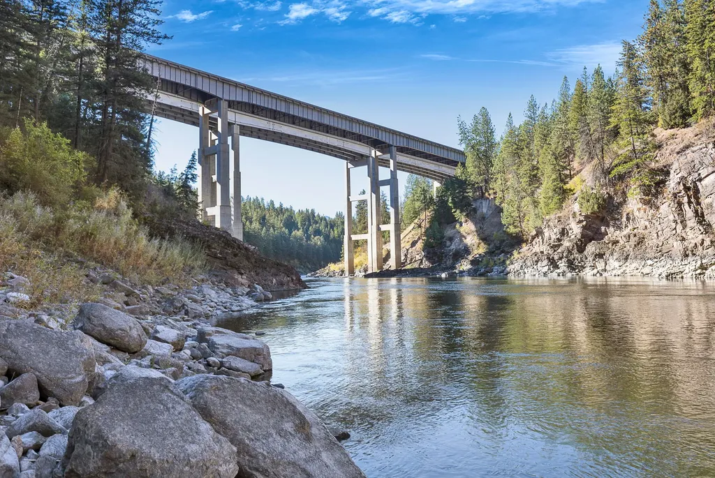
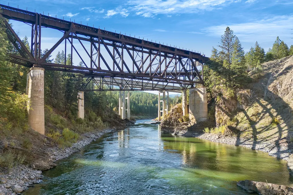
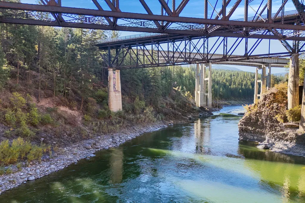
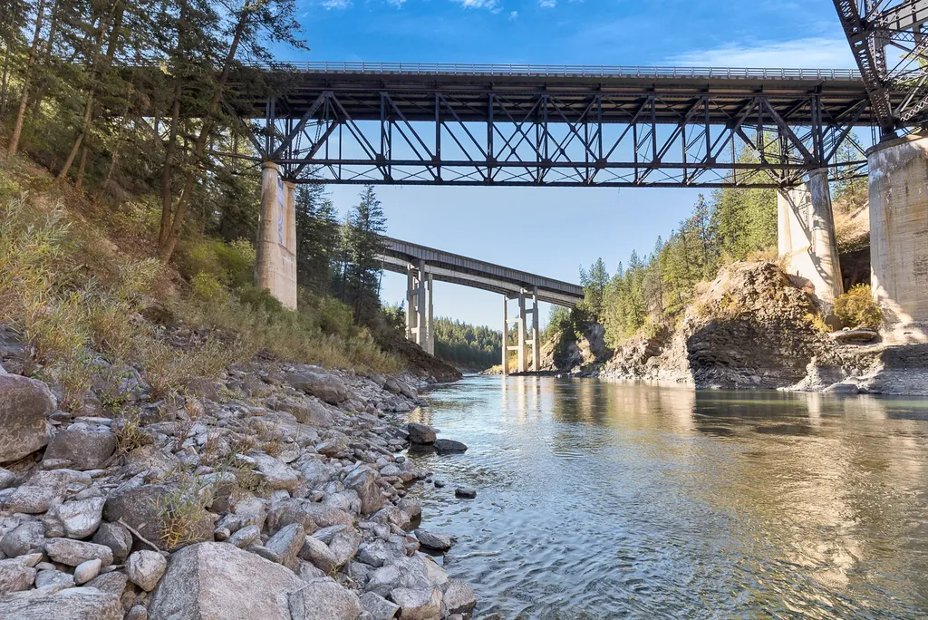
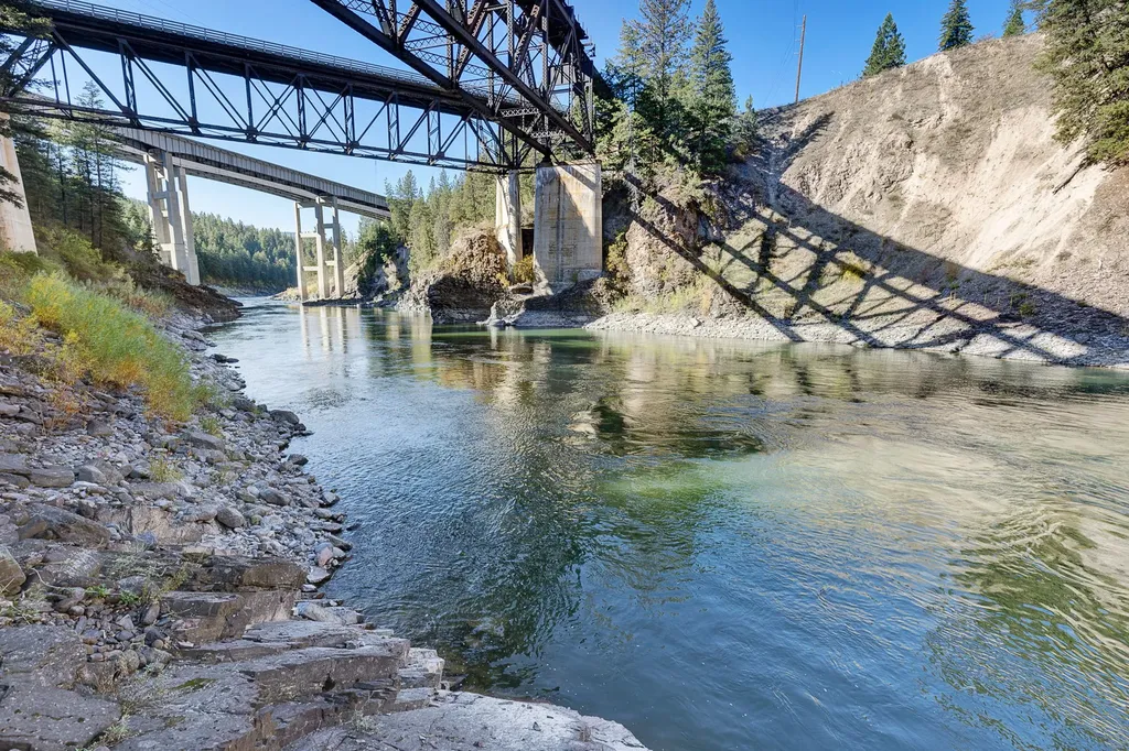
Roughly 225 feet of Clark Fork River frontage with year-round access and an insulated power container for outdoor operations.
- Added:
- Jun 16, 2026
- Days on Market:
- 7
- Last Refresh:
- Jun 20 at 8:58 am
Property Features for 4016 Old Hwy 10 W
General Information
- Standard status
- Active
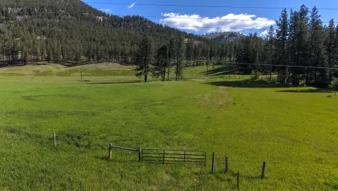
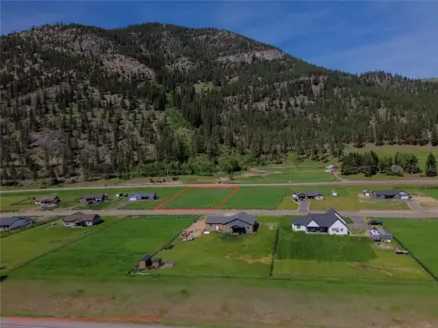
- Lot size
- 5.47 Acres
- Property subtype
- Land
Listing agent Jason Shreder
Listing office Ink Realty Group
Listing date Jun 16, 2026
Source Purewestrealestate
Displayed information is deemed reliable but is not guaranteed and should be independently verified.
All listing content including descriptions, pricing, images are the copyrighted material of Ink Realty Group
HighLights
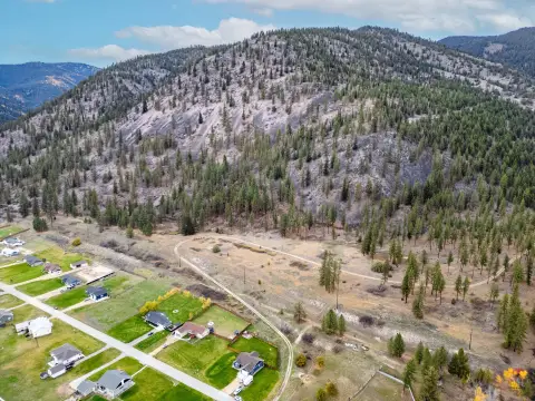
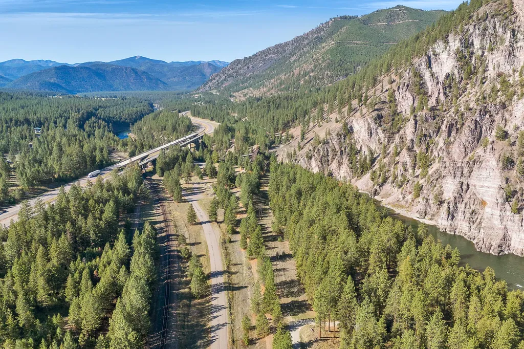
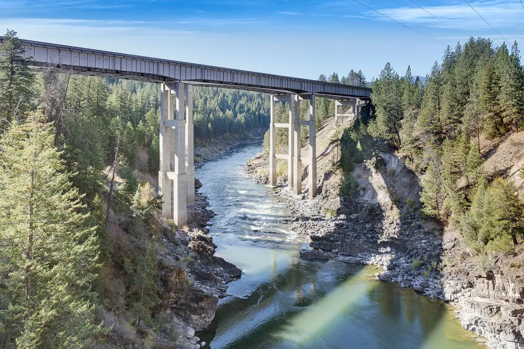
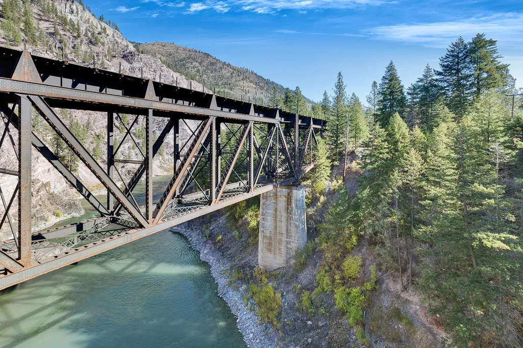
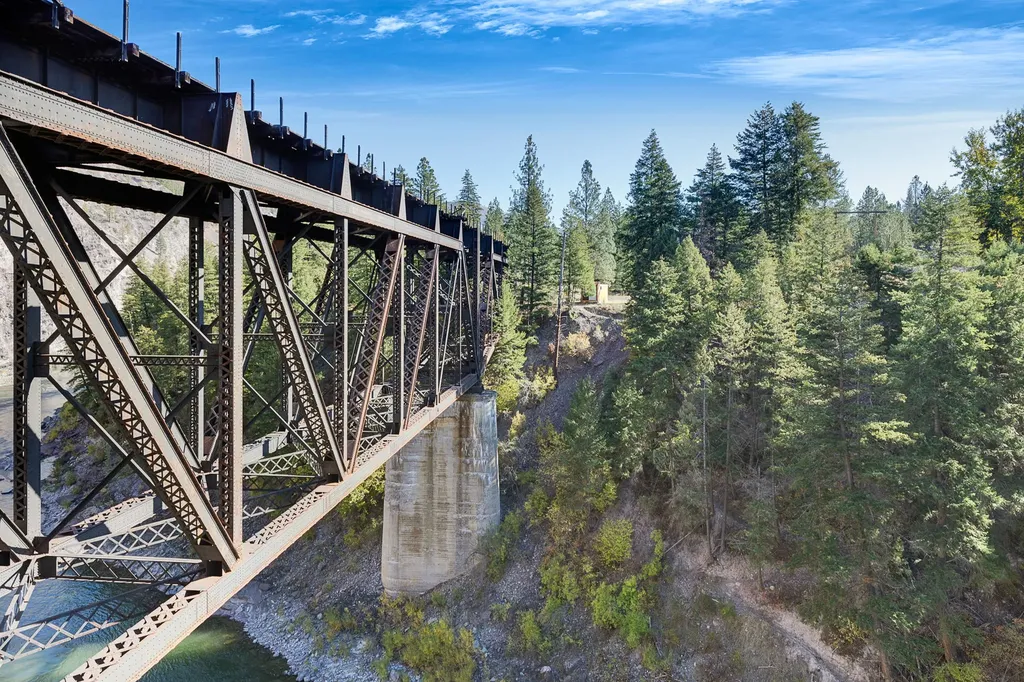
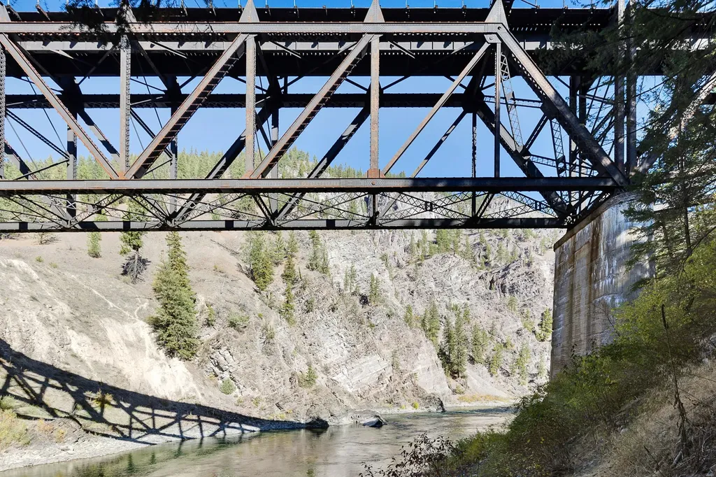
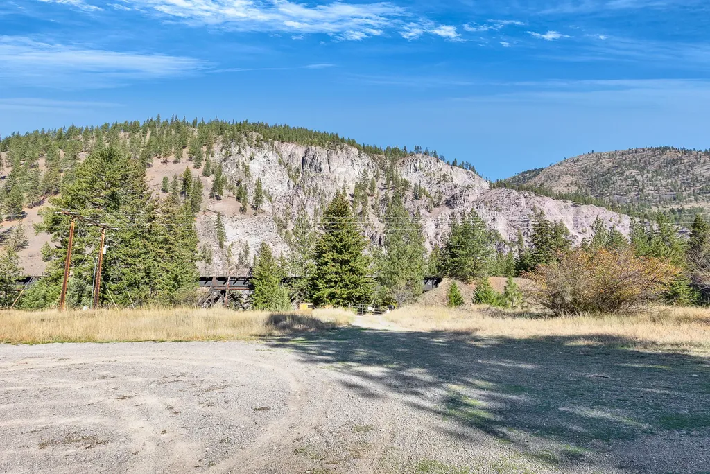
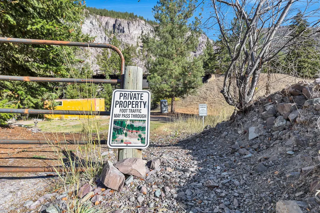
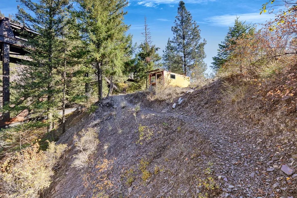
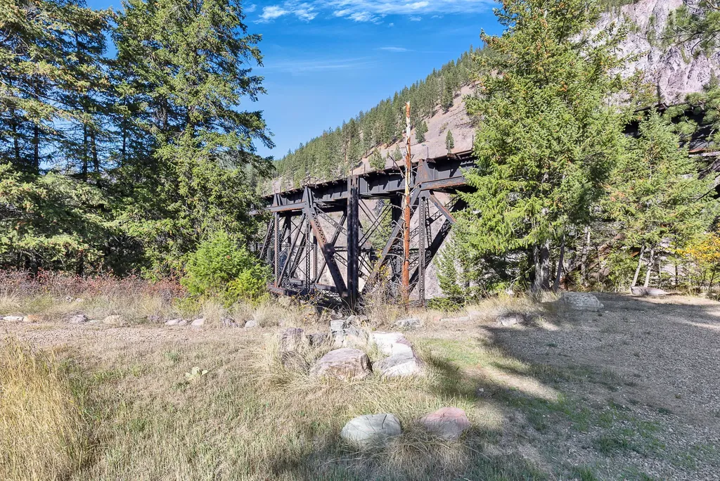
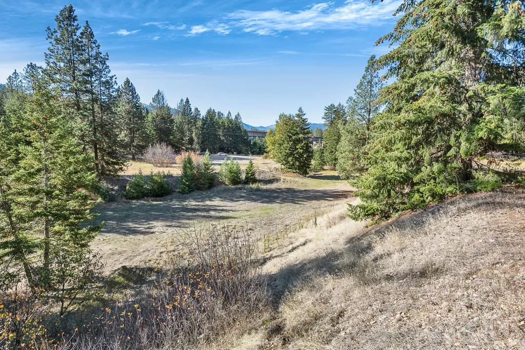
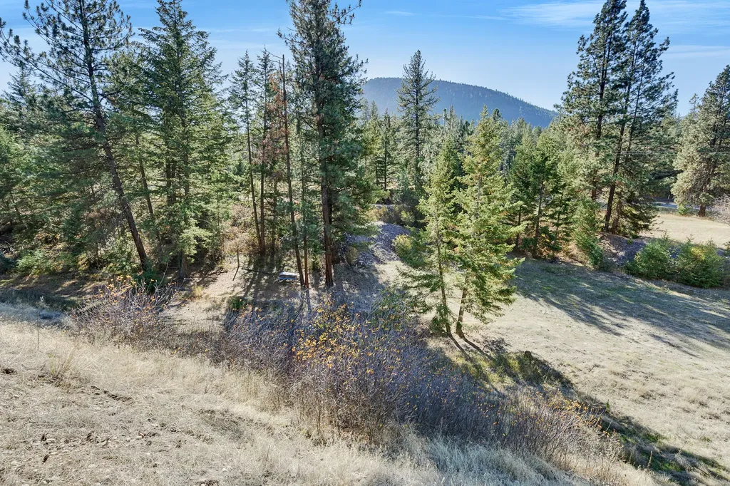
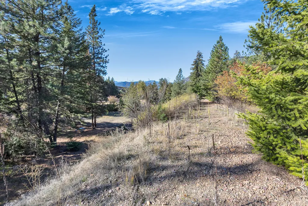
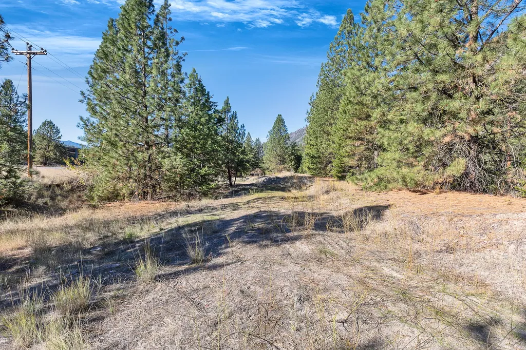
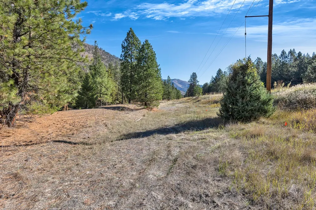
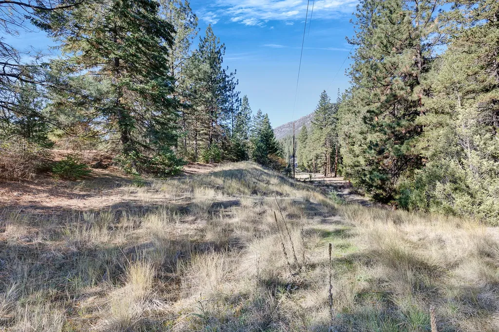
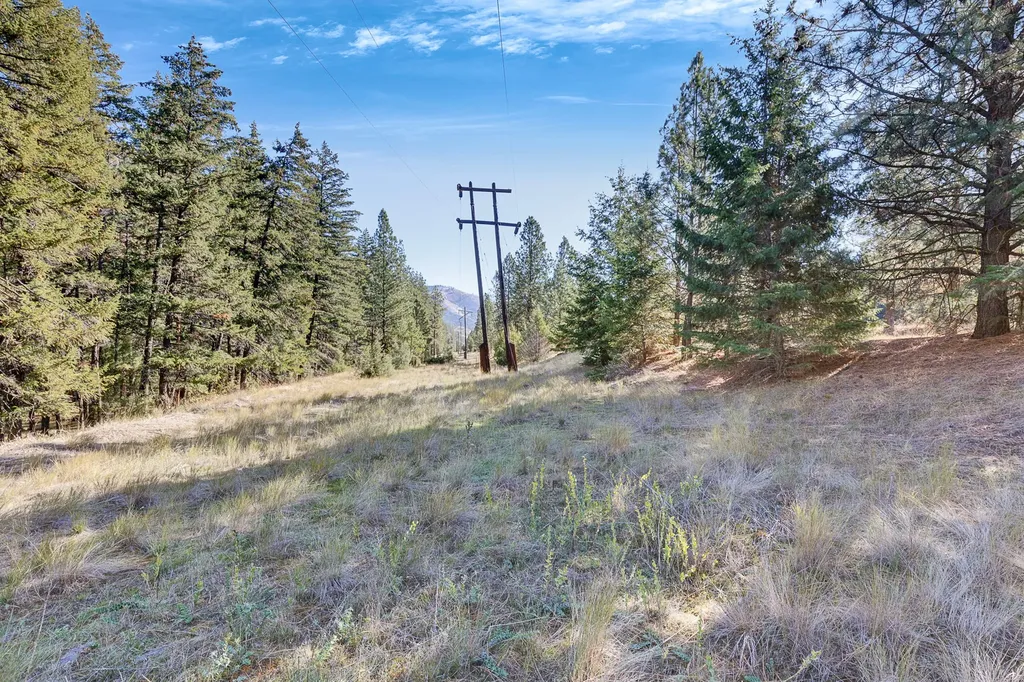
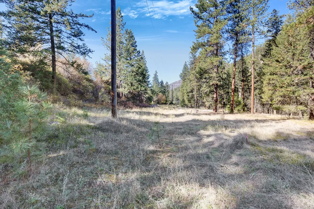
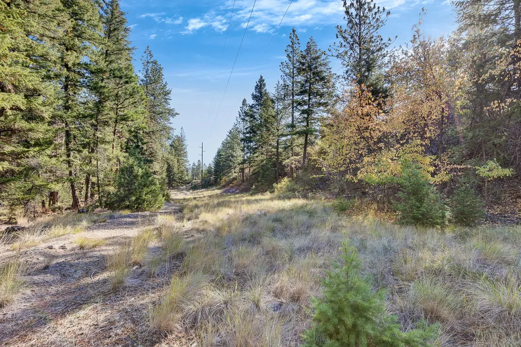
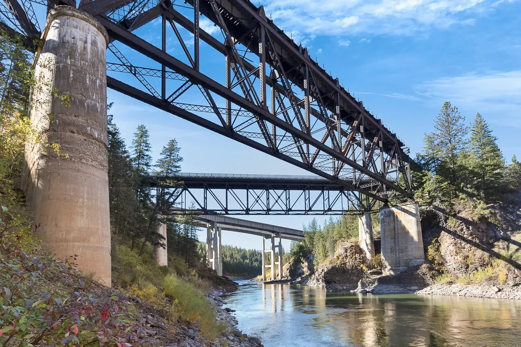
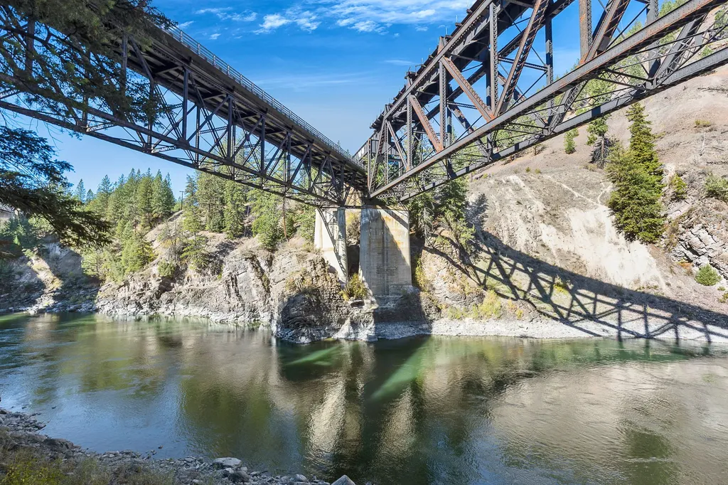
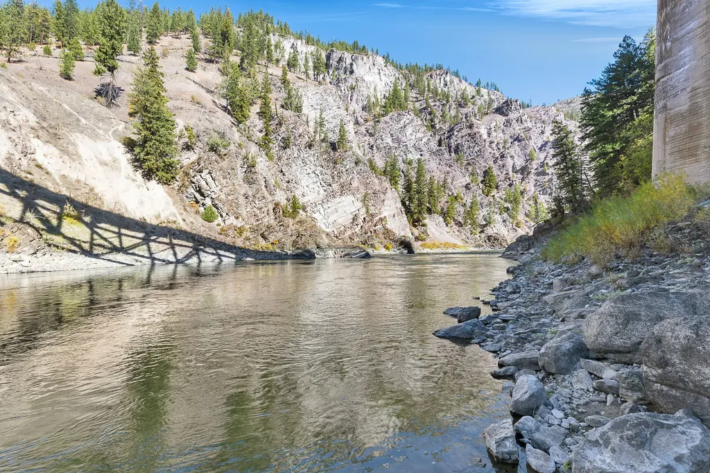
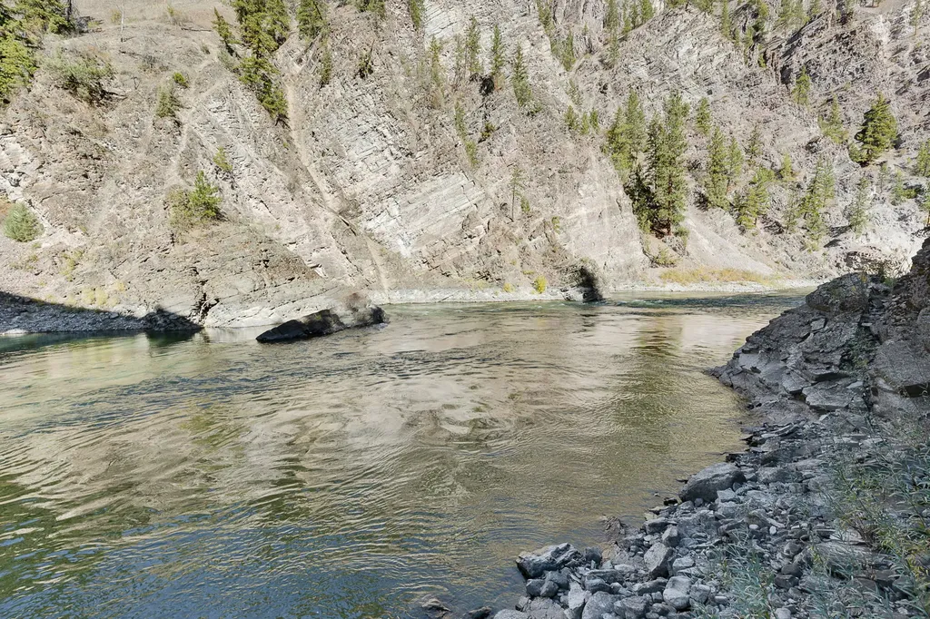
- 5.47 acres overlooking the Clark Fork River in the Alberton Gorge with roughly 225 ft of total river frontage
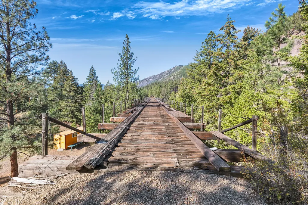
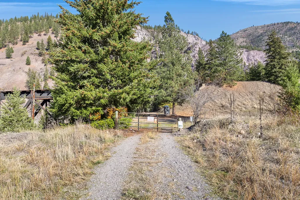
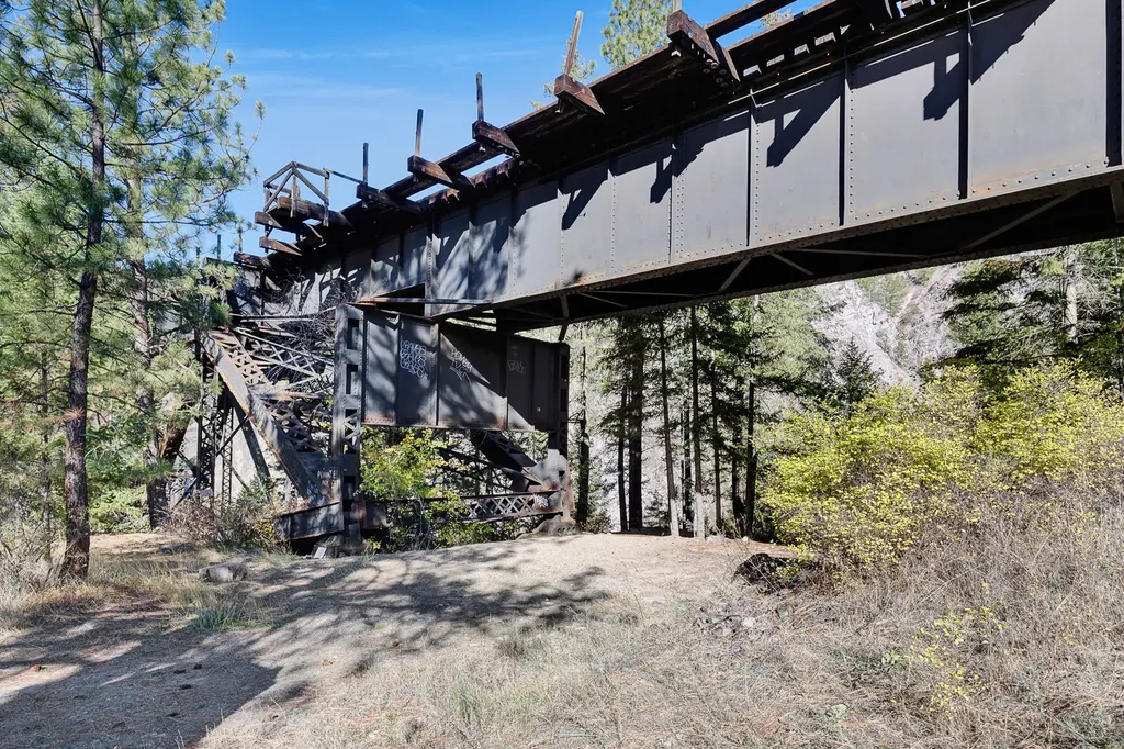
- Insulated 24 x 8 container on‑site with power
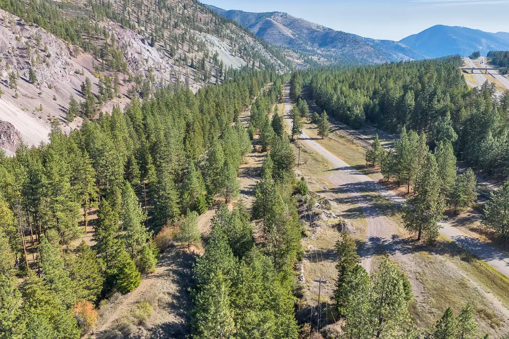
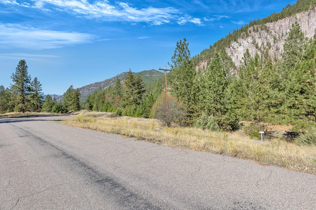
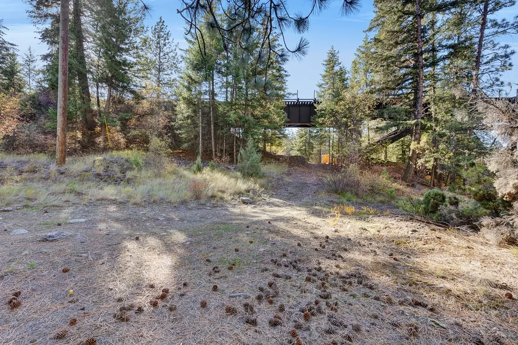
- Year‑round access with straightforward entry off Fish Creek
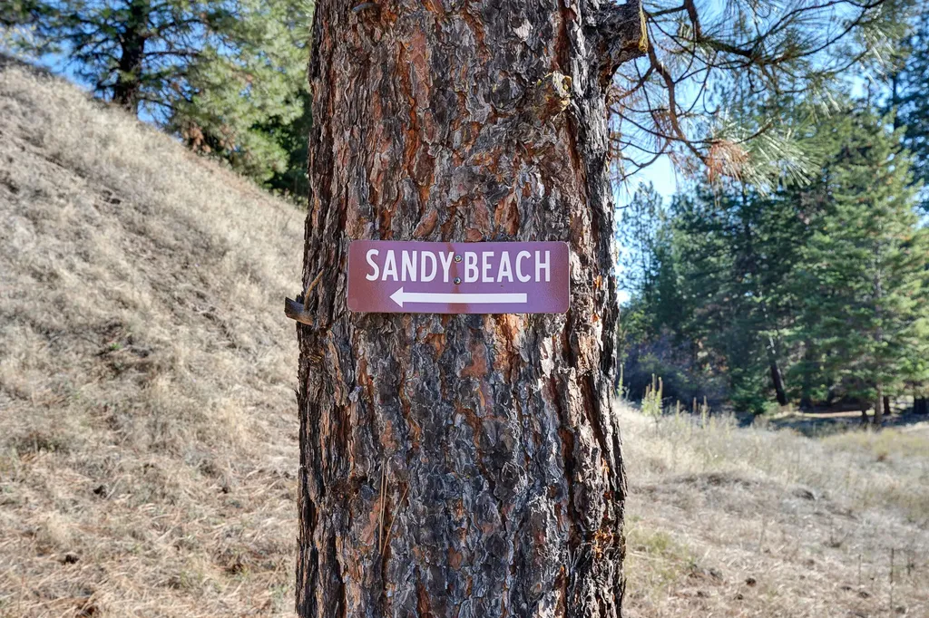
- Trail access down the steep bank to the river
- Nearby access to kayaker put‑in and Cyr and Tarkio access sites; surrounded by state land
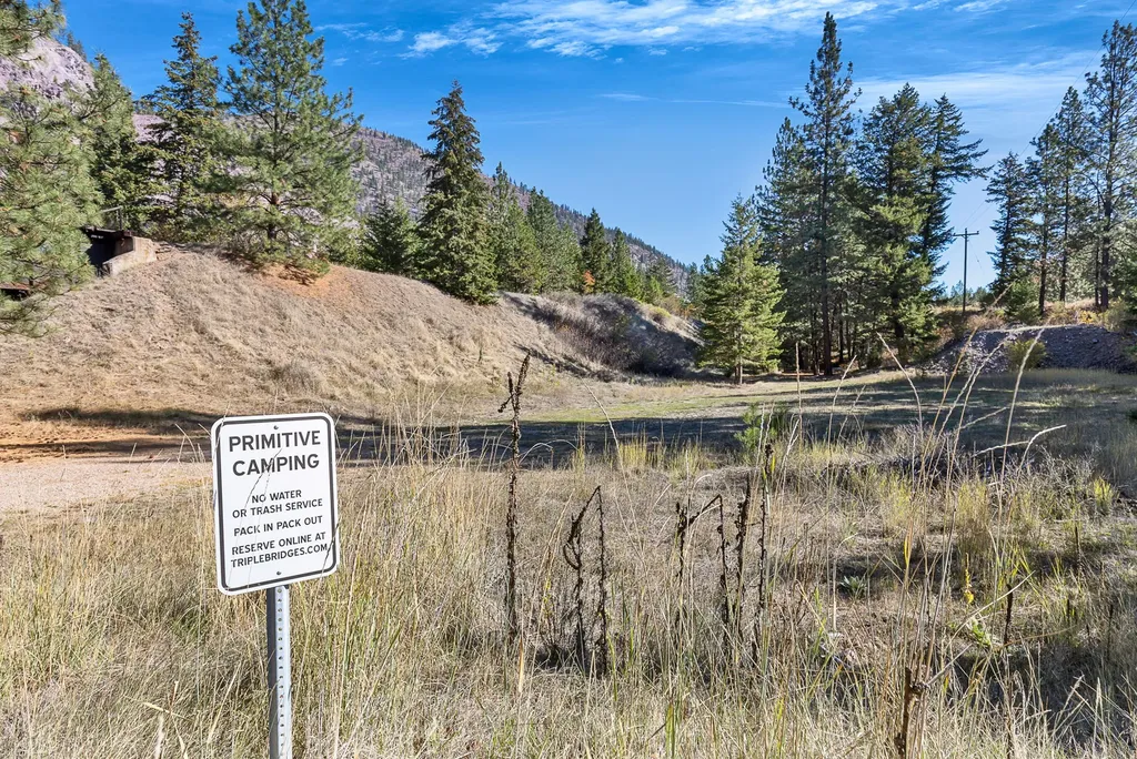
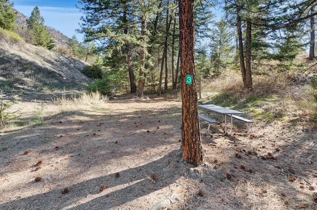
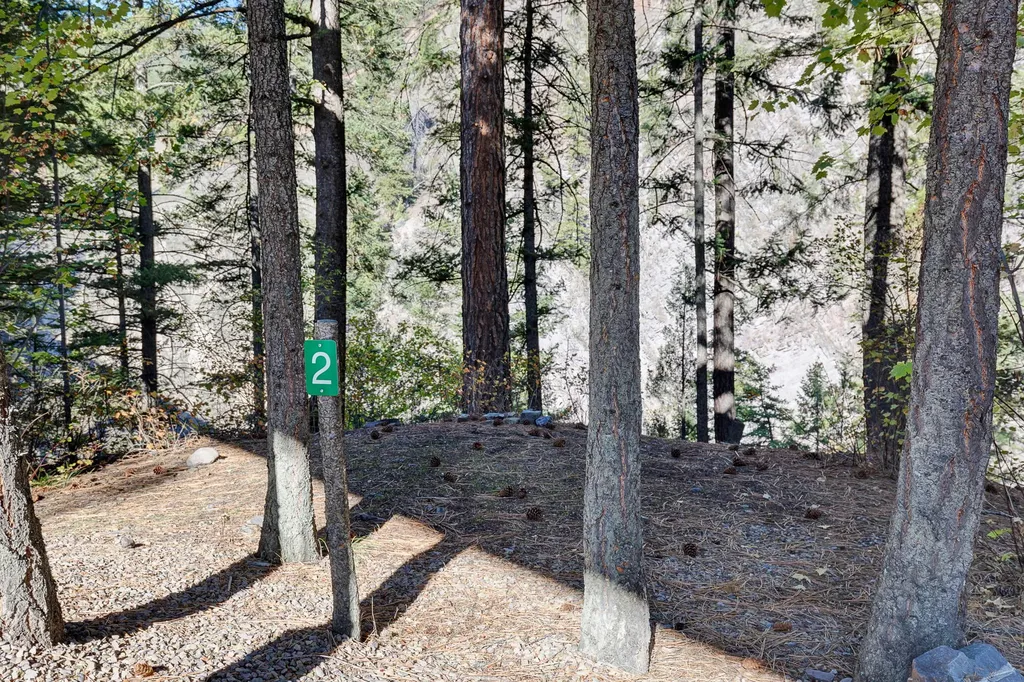
- Currently operating as a primitive campground listed on Hipcamp
Overview
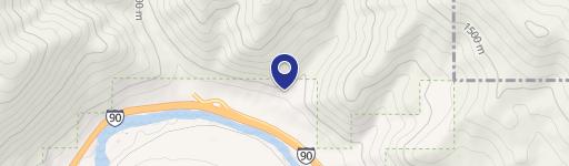
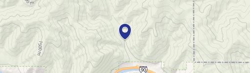
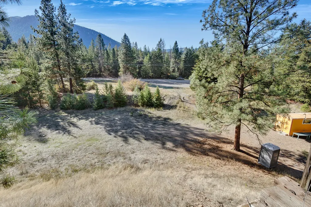
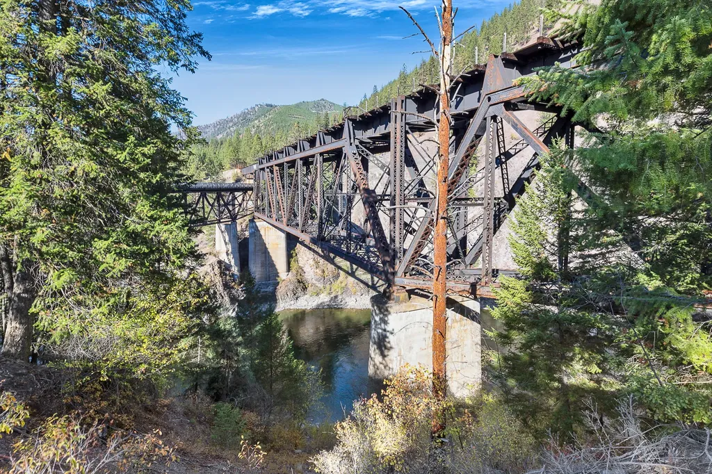
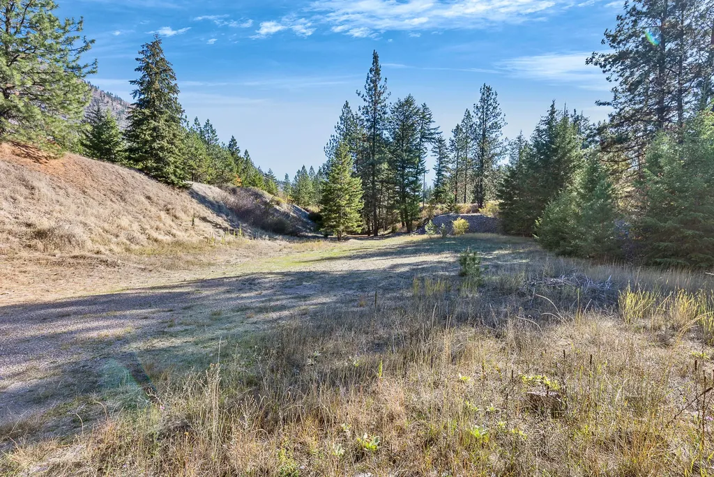
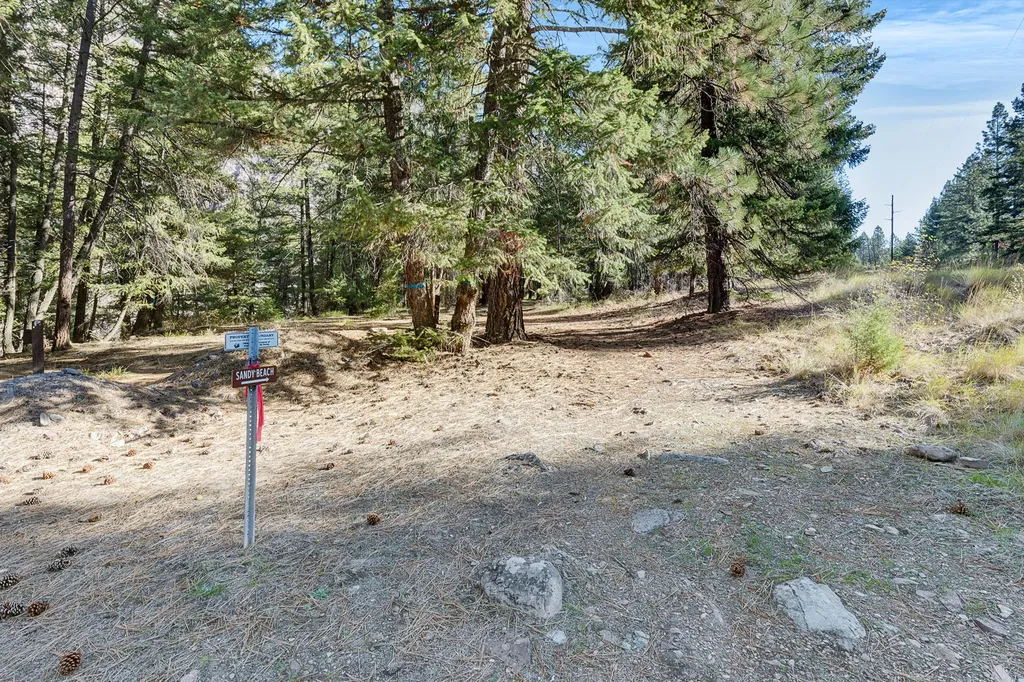
Access is described as straightforward off Fish Creek with year-round use. The setting is positioned above an area known as Tarkio East Sandy Beaches, with a short walk to the beach. The property is surrounded by state land and is adjacent to a kayaker put-in on the Gorge, with nearby Cyr and Tarkio access sites.
Currently operating as a primitive campground and listed on Hipcamp, the site is configured for low-impact stays with direct access to the river corridor. For an operator, campground buyer, or recreation-focused owner, the combination of river frontage, existing onsite utility via the insulated container with power, and established foot access to the water supports continued outdoor use while taking advantage of the Alberton Gorge’s recognizable recreational setting.
Current Use by Public Records
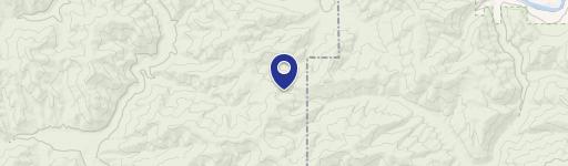
Location Insight
- Map
- Local Demand
- City
- Alberton
- County
- Mineral
- State
- Montana
- Longitude
- -108.8586675
- Latitude
- 45.6647337