12600 N 433 Road, Adair, OK 74330
- Added:
- Sep 10, 2025
- Days on Market:
- 299
- Last Refresh:
- Jul 5 at 7:06 pm
Property Features for 12600 N 433 Road
General Information
- Property type
- Land
- Property subtype
- Other
- Standard status
- Active
- Lot size
- 390.00 Acres
Taxes and HOA fees
- Tax Year
- 2024
- Tax Annual Amount
- 1037
Utilities
- Water source
- Other
- Water front features
- Pond, Creek
Listing agent Susan Yoder (918) 521-3165
Listing office AMERICAN PRIDE REALTY PO Box 631, Adair, OK (918) 521-3165
Listing date Sep 10, 2025
Copyright © 2026 My State MLS. All rights reserved. All information provided by the listing agent/broker is deemed reliable but is not guaranteed and should be independently verified.
HighLights
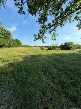
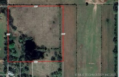
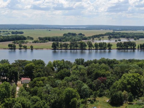
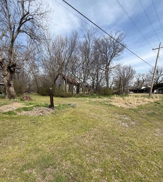
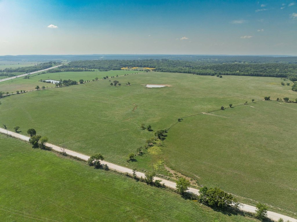
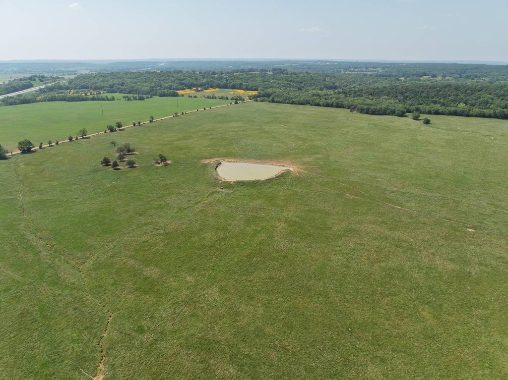
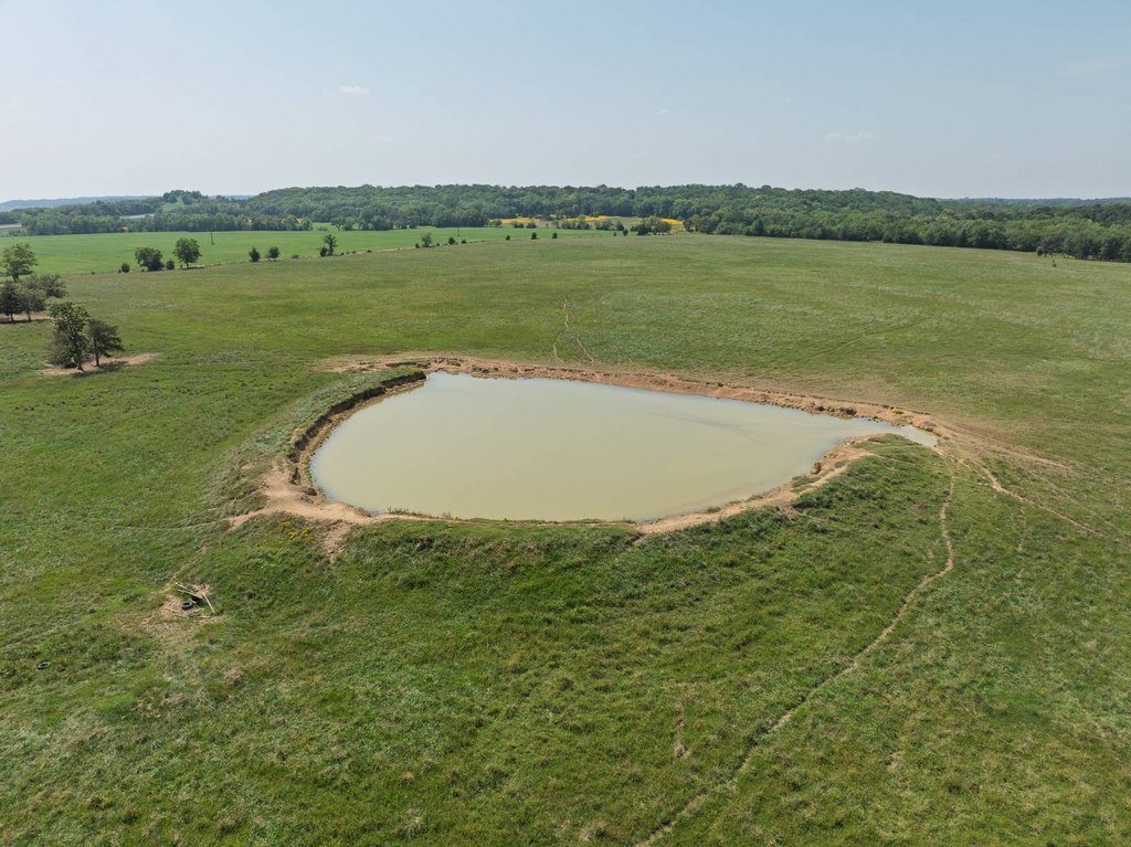
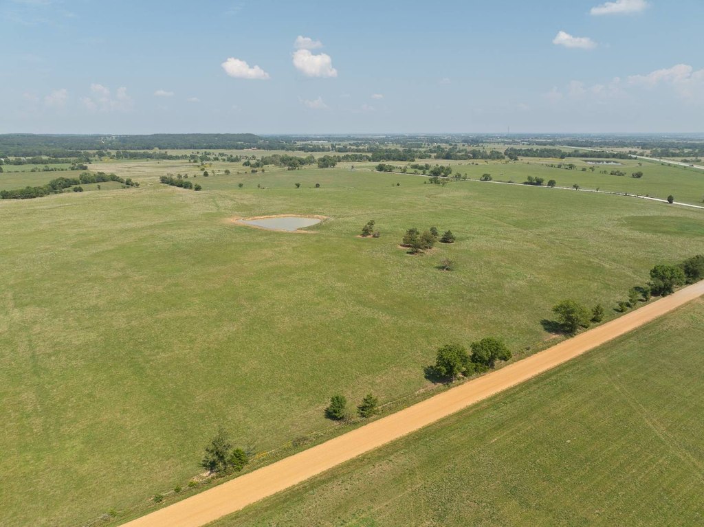
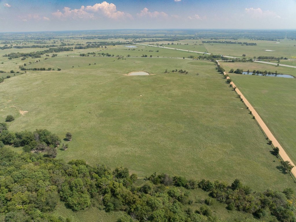
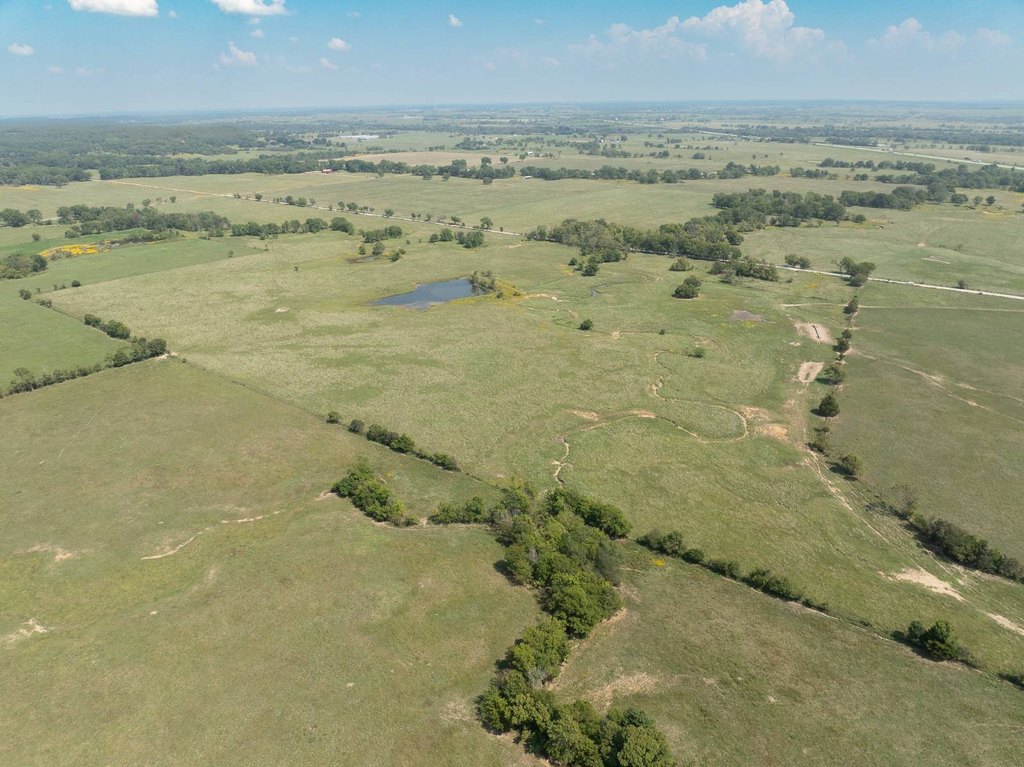
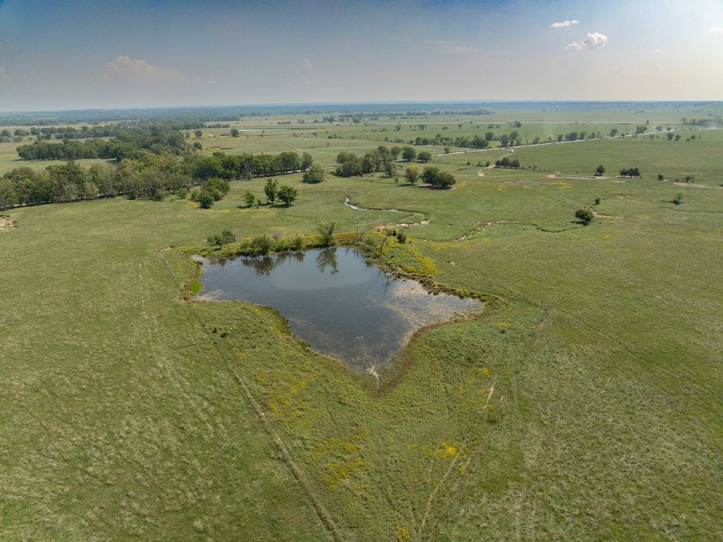
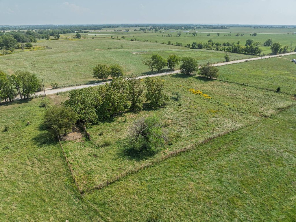
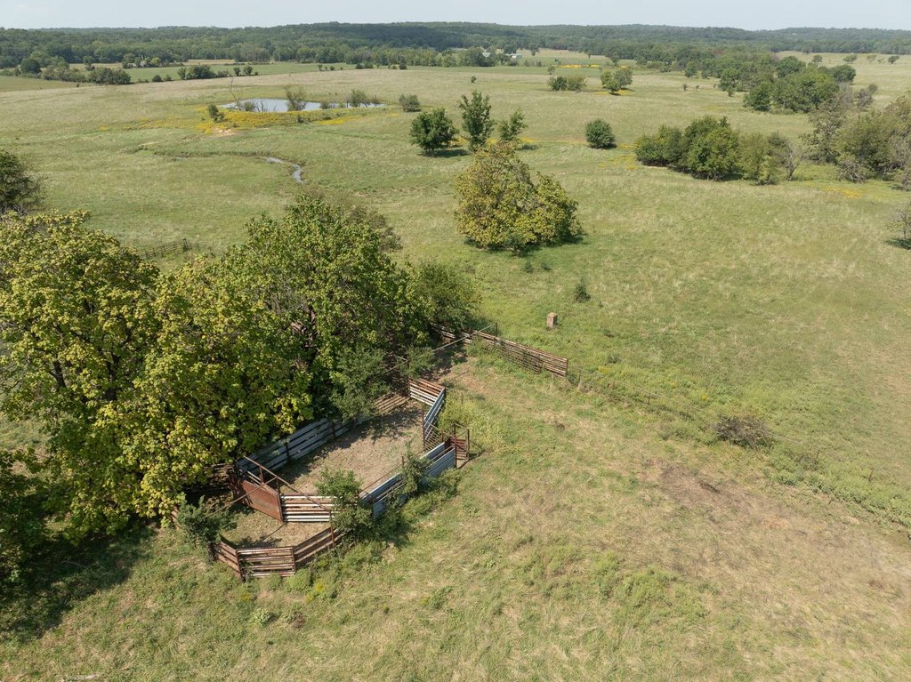
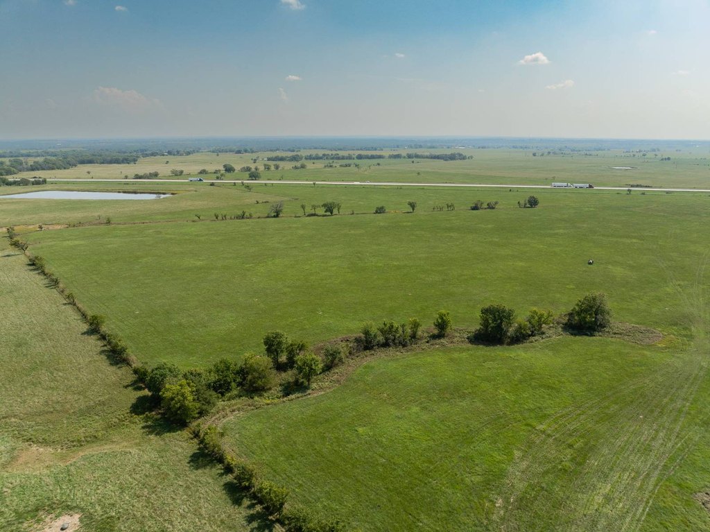
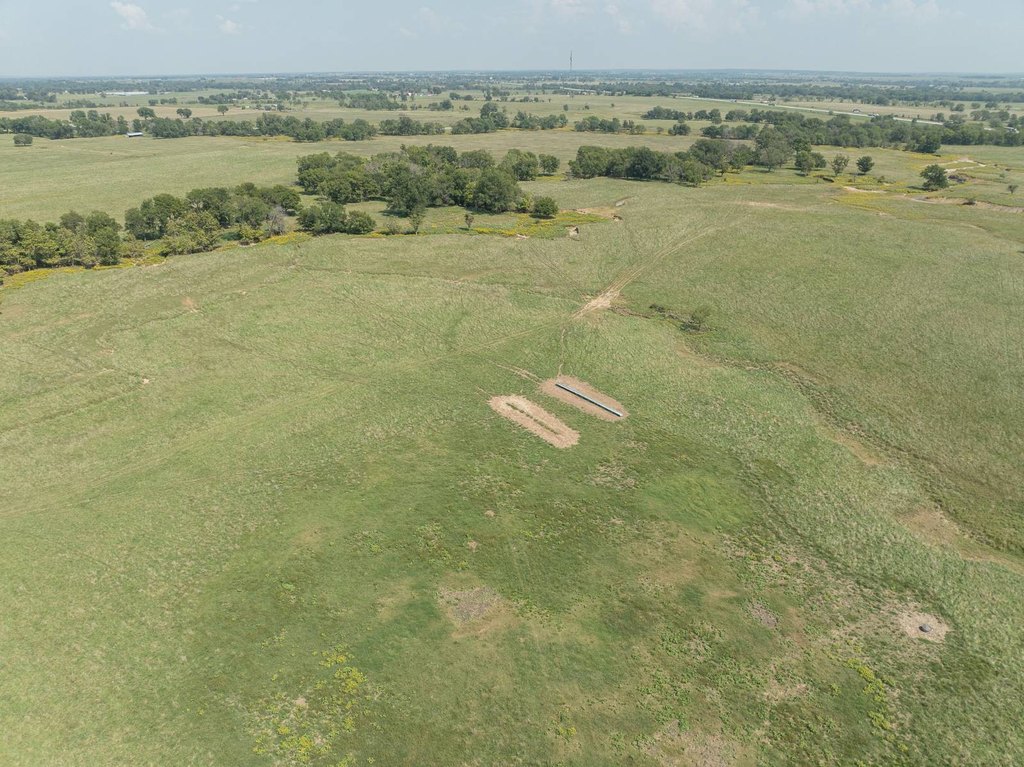
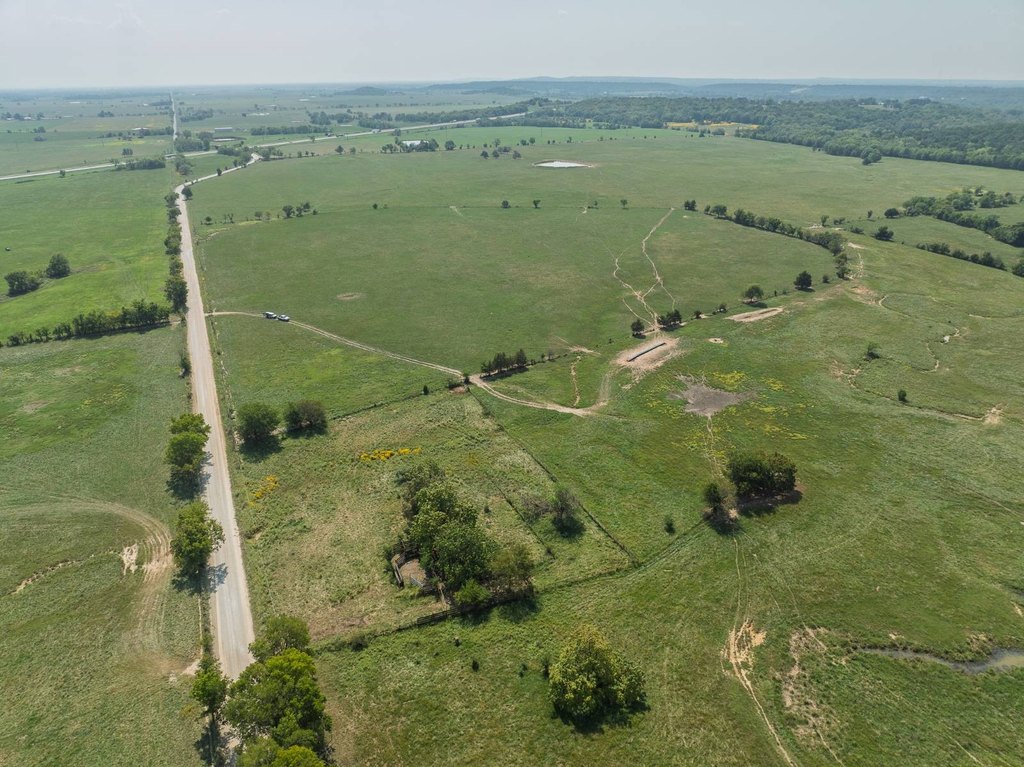
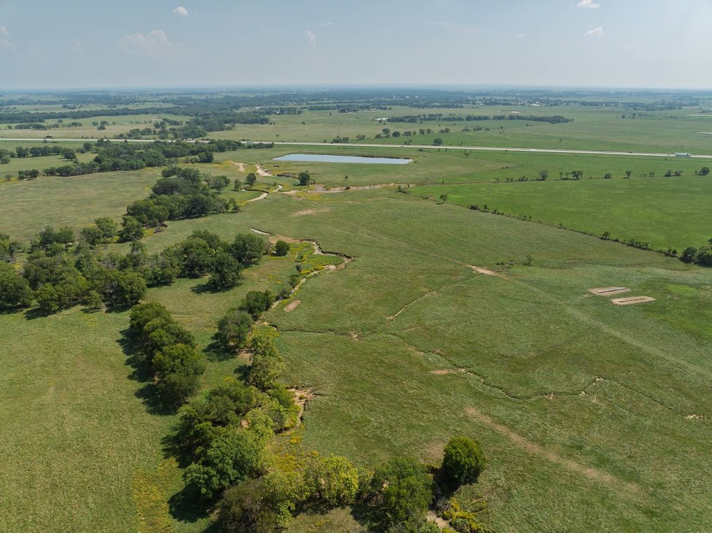
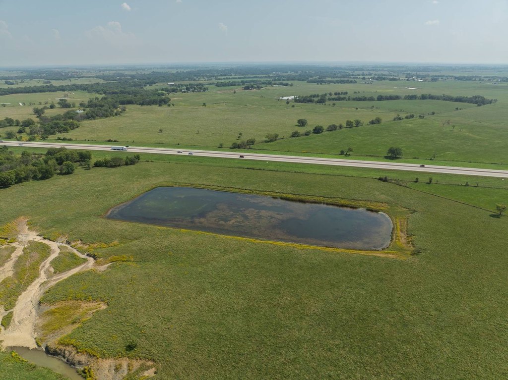
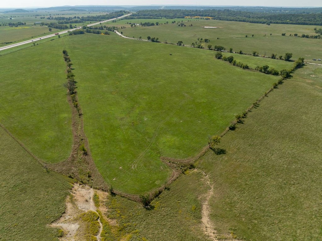
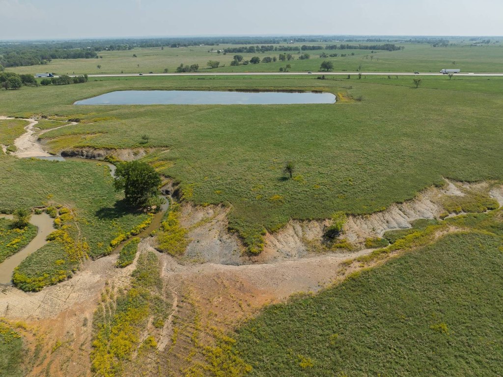
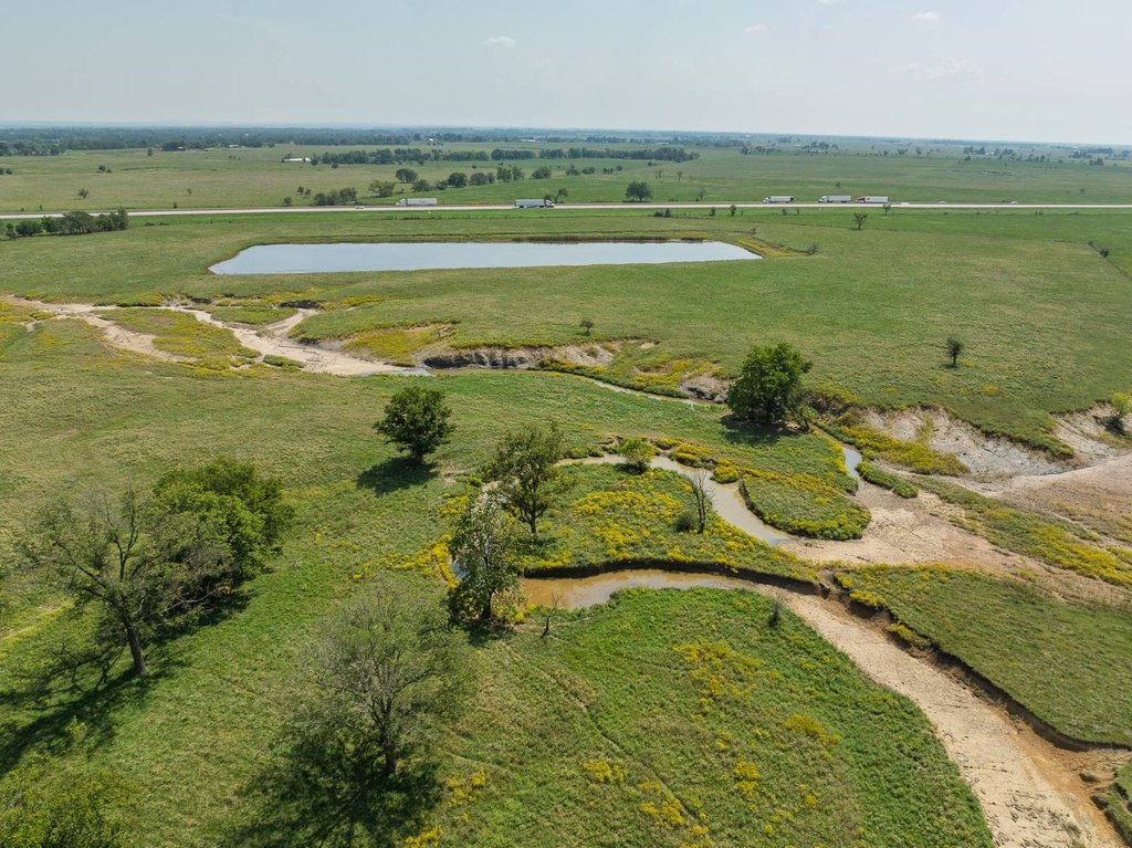
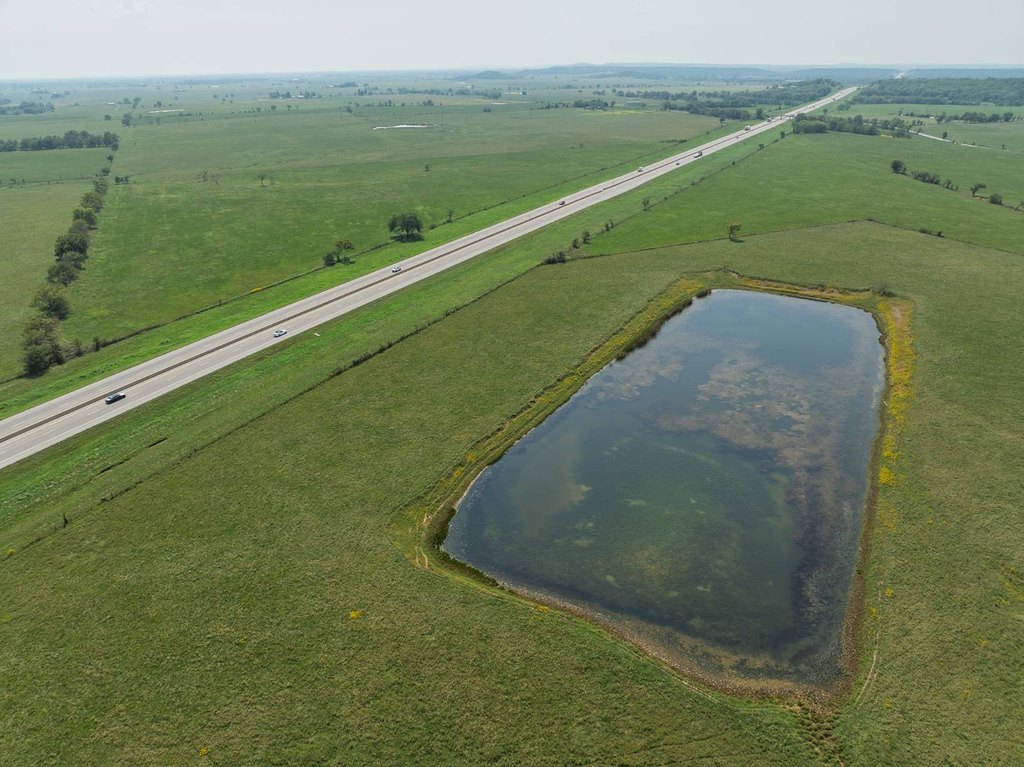
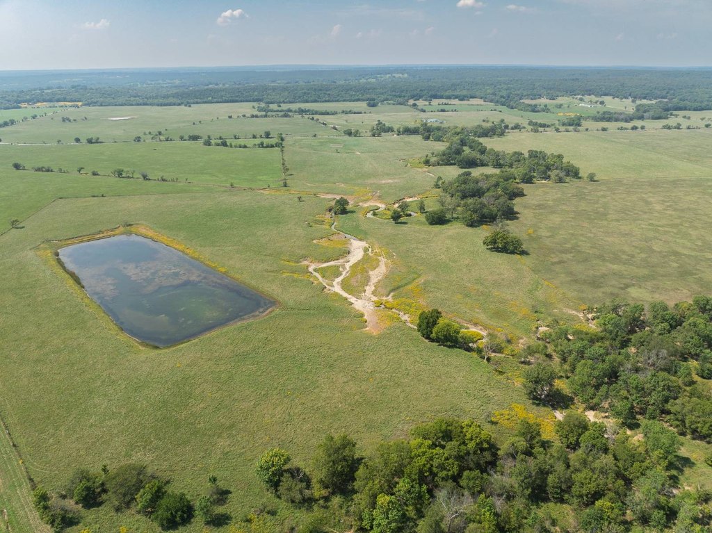
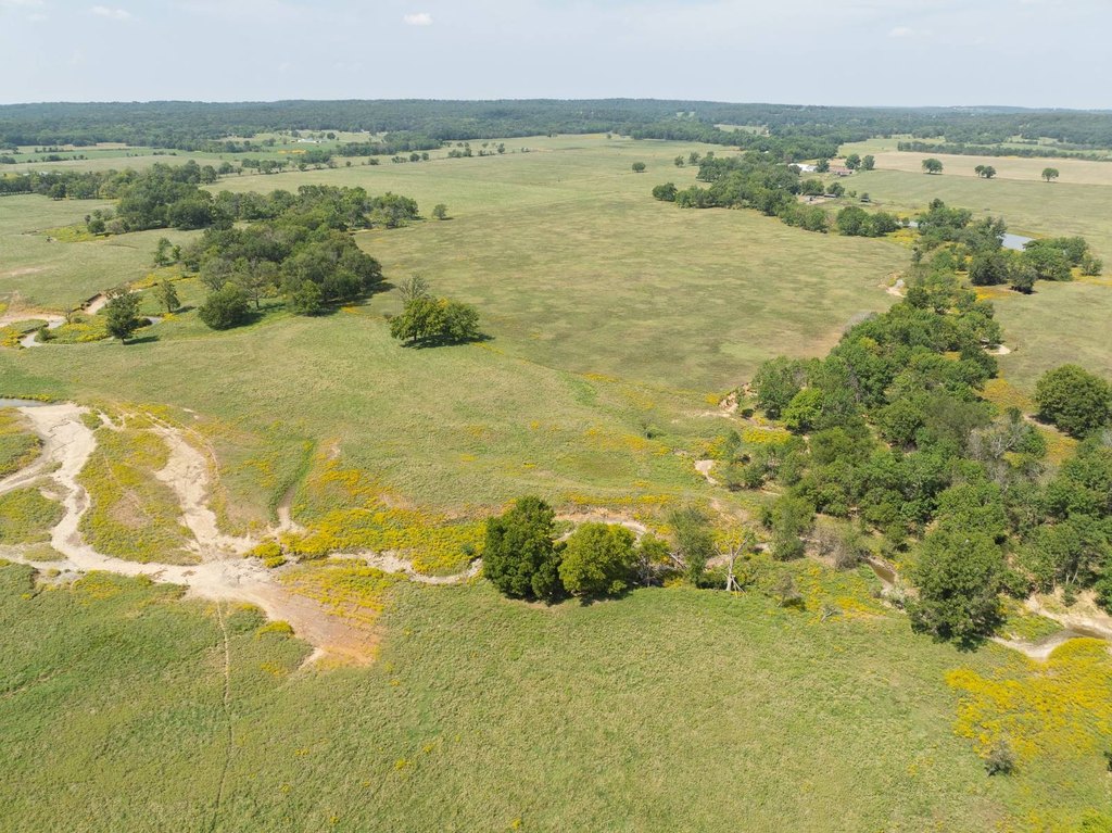
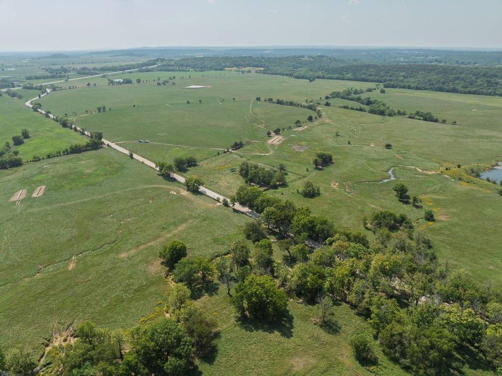
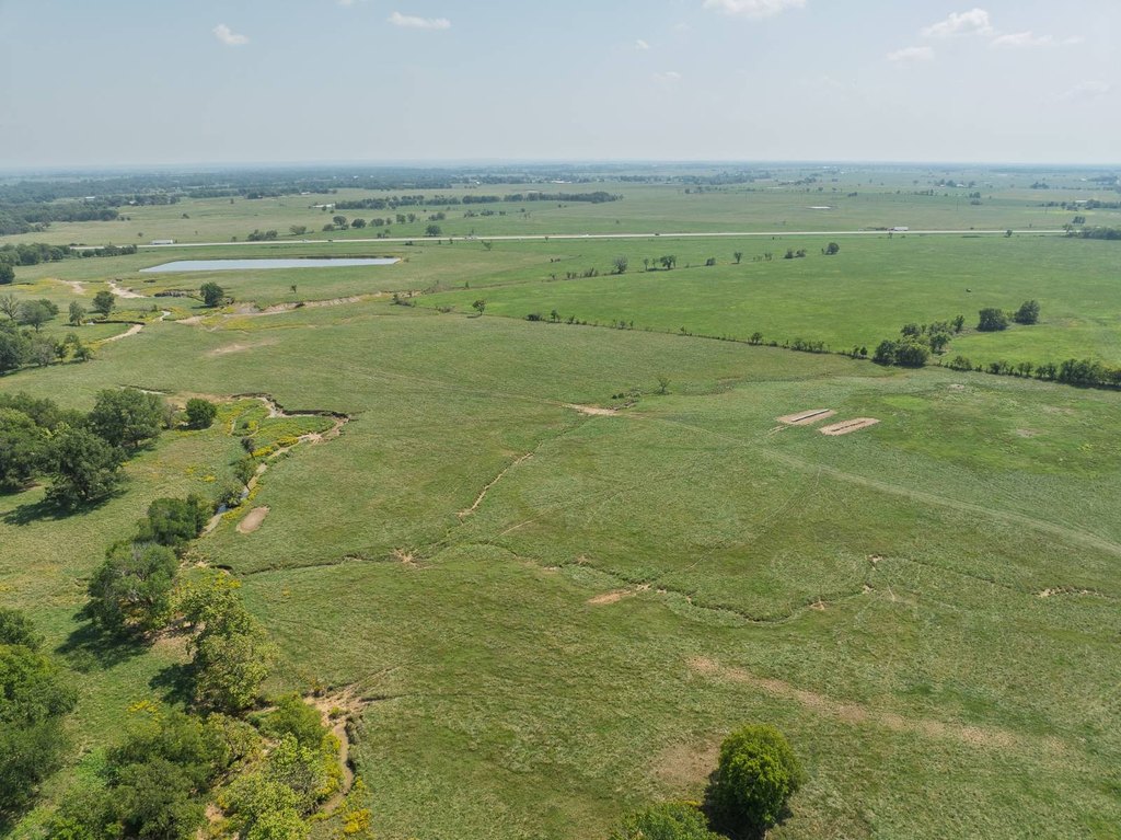
- 391 +/- acre ranch in Mayes County, OK, listed as first time on the market in generations.
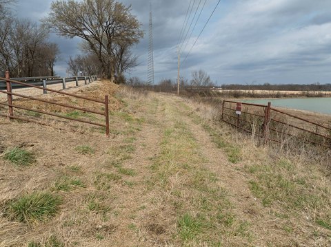
- Multiple parcels with pond(s) and a wet‑weather creek meandering through the property.
- Rural water available plus numerous prime building sites across the ranch.
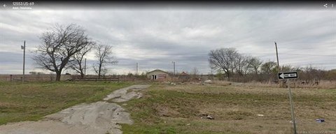
- Strong perimeter and cross fencing with an older but functional set of corrals and working pens.
- Set in Adair School District.
- Taxes reported at $1,037 annually; described as about 10 minutes to the turnpike, 30 minutes to Tulsa, and 40 minutes to Joplin.
Overview
The ranch is located in Mayes County, Oklahoma within the Adair School District. The property is identified as being in the Adair area, with access to the broader region through nearby routes, including approximately 10 minutes to the turnpike and about 30 minutes to Tulsa. Joplin is listed as approximately 40 minutes away.
This holding is suited to buyers seeking a large, maintained tract for ranching and related uses such as hay or crops, with the infrastructure needed to support livestock operations. With ponds, creek drainage, and established fencing and working pens, the ranch supports practical land management. The listing also highlights long-term holding considerations, including low overhead and an annual property tax figure of $1,037.
Current Use by Public Records
Map
- City
- Adair
- County
- Mayes
- State
- Oklahoma
- Longitude
- -95.290988
- Latitude
- 36.492225