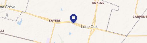
000 La Vernia Road Unit 000, Adkins, TX 78101
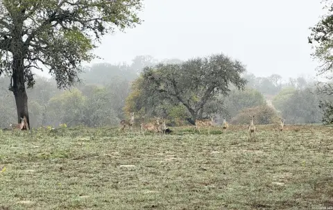
Ag-exempt raw acreage with perimeter fencing, mature oaks, stock tanks, and 1,800+ feet of road frontage.
- Added:
- Mar 16, 2024
- Days on Market:
- 822
- Last Refresh:
- Jun 15 at 8:37 am
Property Features for 000 La Vernia Road Unit 000
General Information
- Standard status
- Active
- Lot size
- 79.37 Acres
- Property subtype
- General Commercial
Listing agent Coldwell Banker (361) 212-2892
Listing office D Ann Harper (361) 212-2892
Listing date Mar 16, 2024
Source Xome
Displayed information is deemed reliable but is not guaranteed and should be independently verified.
All listing content including descriptions, pricing, images are the copyrighted material of D Ann Harper
HighLights
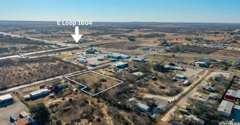
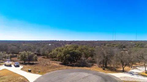
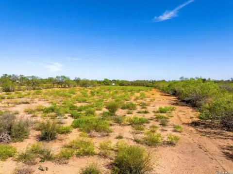
- 79.37 acres of ag‑exempt raw land in Bexar County, mostly mesquite and native grass with mature post and live oaks
- Pond front acreage with pond view; includes a pond and partial wood along the property
- Perimeter fenced with stock tanks located on the property for livestock
- Approx. 1,800+/- ft road frontage on La Vernia Rd
- No 100‑year floodplain reported; approx. 25+/- acres improved pasture that can be converted to hay production
- Utilities: East Central Water line along La Vernia Rd and CPS power available; no utilities currently on the property
Overview
The land sits just inside Loop 1604 on La Vernia Rd in Bexar County, approximately one mile west of the interchange. The site has 1,800+/- feet of road frontage on La Vernia Rd, with no 100-year floodplain identified in the provided information. Portions of the acreage are within St. Hedwig city limits, with the remainder located in Adkins. East Central ISD is noted, and the area is described as having a new middle school planned.
Utilities information indicates an East Central Water line along La Vernia Rd, and CPS Power is available to bring to the property. As presented, there are no utilities currently on-site. This combination of ag status, fenced acreage, and substantial road frontage may appeal to buyers seeking developable farmland or an agricultural site with room for future planning.
Current Use by Public Records
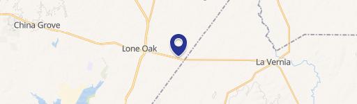
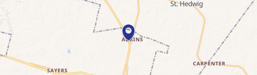
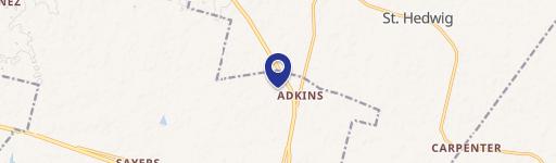
Location Insight
- Map
- Local Demand
- City
- Adkins
- County
- Bexar
- State
- Texas
- Longitude
- -98.3286469
- Latitude
- 29.257423