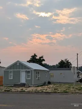
Riverfront Ranch and Irrigated
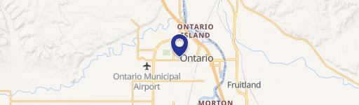
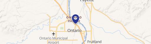
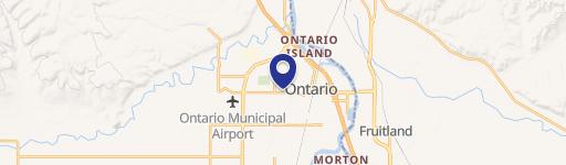
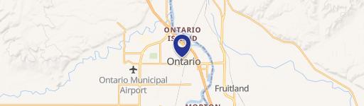
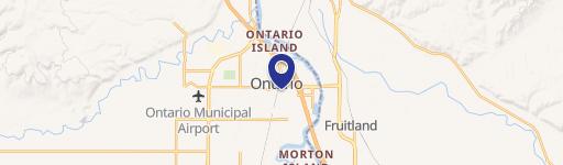
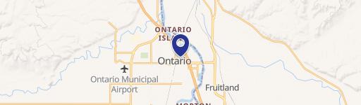
4460 Highway 201 Ontario, OR 97914
4460 Highway 201, Ontario, OR, 97914
$2,170,000
For Sale
$2,170,000
Riverfront ranch with a 3,710 sq ft home, equestrian improvements, and irrigated acreage for farming and outdoor use.
Property Size3,710 SF
Lot Size20.70 Acres
Price / SF$584.91
Days on Market468
Property Features for 4460 Highway 201
General Information
- Standard status
- Active
- Size
- 3,710 SF
- Lot size
- 20.70 Acres
- Property subtype
- Farm
Listing agency
Knipe Land Company
(208) 345-3163
Listed by
John Knipe · License #DB15212
(208) 345-3163
Source
Exprealty
Added: Apr 11, 2025 Updated: Jul 10 at 1:48PM Checked: Jul 22 at 12:19AM
Displayed information is deemed reliable but is not guaranteed and should be independently verified. All listing content including descriptions, pricing, images are the copyrighted material of Knipe Land Company
Investment Insights
Based on property information with market context.
This riverfront ranch property offers two parcels totaling 20.7± acres. One parcel features a 3,710± SF 4-bedroom, 4-bath home with hardwood floors, along with a horse corral. A 5,000± SF shop includes two apartments: one currently used as an office with a full bathroom, and a separate 1,600± SF finished unit with bedroom, bath, kitchen, and living area.
The second parcel includes an unused building permit for future development. Approximately 17± irrigated, cultivatable acres are supported by auto sprinklers and a 1,000± gallon pump station, and the property has partial post-and-pole fencing. The seller reports agricultural production including wheat and about four cuttings per year of alfalfa.
The combination of riverfront setting, existing residential improvements, and on-site farm and equestrian features can support a range of owner-user needs—from ranch living and horse use to continued crop production. With a separate parcel and an existing unused building permit, the property may also appeal to buyers looking to plan for future development in addition to maintaining an operational irrigated farm.
Key Highlights
- Riverfront ranch on the Snake River at the Idaho border with two parcels totaling 20.7± acres (10.35± acres each)
- 3,710± SF home with 4 beds and 4 baths, hardwood floors, plus a horse corral
- 5,000± SF shop includes two apartments—one used as an office with a full bathroom; one 1,600± SF finished unit
Property Analytics
Property Profile
Location Intelligence
Current Use by Public Records
Ranches
Similar For Sale Nearby


FAQs
What type of property is this?
Ranch - Riverfront ranch with a 3,710 sq ft home, equestrian improvements, and irrigated acreage for farming and outdoor use.
Where is this ranch located?
The property is located at 4460 Highway 201 Ontario, OR.
What is the asking price?
The asking price for this property is $2,170,000.
What are key features of this property?
This property features: Riverfront ranch on the Snake River at the Idaho border with two parcels totaling 20.7± acres (10.35± acres each); 3,710± SF home with 4 beds and 4 baths, hardwood floors, plus a horse corral; 5,000± SF shop includes two apartments—one used as an office with a full bathroom; one 1,600± SF finished unit


