Flex and Industrial Redevelopment
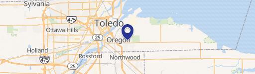
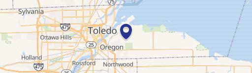
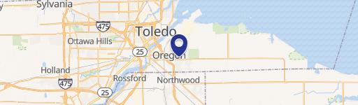
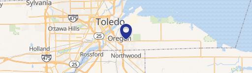
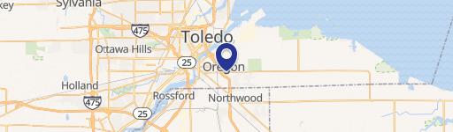
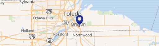
2195 & 2255 Navarre Avenue Oregon, OH 43616
2195 & 2255 Navarre Avenue, Oregon, OH, 43616
Contact for pricing
For Lease
Contact for pricing
Corner lot with excellent I-280 and Navarre Ave visibility, featuring multiple structures and mixed commercial and light industrial zoning.
Lot Size4.25 Acres
Days on Market50
Property Features for 2195 & 2255 Navarre Avenue
General Information
- Standard status
- Active
- Lot size
- 4.25 Acres
- Property subtype
- Retail
Building Details
- Year Built
- 1985
Spaces For Lease
at 2195 & 2255 Navarre Avenue Contact us
Listing agency
SVN | Ascension Commercial Realty
(419) 377-0797
Listed by
Rami Sebai · License #OH #SAL.2021006201
(419) 377-0797
Source
Svn-acre
Added: Jun 2 Updated: Jul 10 at 1:47PM Checked: Jul 21 at 5:52AM
Displayed information is deemed reliable but is not guaranteed and should be independently verified. All listing content including descriptions, pricing, images are the copyrighted material of SVN | Ascension Commercial Realty
Investment Insights
Based on property information with market context.
This property presents a prime redevelopment or retail/warehouse use opportunity on a 4.25-acre corner lot. The site includes three structures across two parcels and is positioned for flexible operating models that can benefit from on-site visibility and adaptable space. Zoning is mixed between General Commercial and Light Industrial, supporting a range of retail and light industrial uses.
The property fronts along I-280 and Navarre Ave, offering strong exposure along a major retail/high-traffic corridor. It is located approximately 1/4 mile west of the I-280 entrance and about 1/2 mile west of Mercy/St. Charles hospital. An income-generating billboard is on the property, and traffic counts provided for the area include 48,759 VPD on I-280 and 28,401 VPD on Navarre Ave.
A strong fit for tenants or operators seeking a visible site for retail-warehouse concepts or other flex-oriented uses. The mixed zoning can support multiple business types, while the income from the existing billboard may appeal to investors evaluating redevelopment potential. Please note that showings must be scheduled in advance, and the site is within a Community Reinvestment Area with a gasoline sales use restriction that expires February 2029.
Key Highlights
- 4.25‑acre corner lot with visibility/exposure along I‑280 and Navarre Ave
- Includes 3 structures on 2 parcels
- Mixed General Commercial and Light Industrial zoning
Property Analytics
Property Profile
Location Intelligence
Current Use by Public Records
Flex space
Similar For Rent Nearby


FAQs
What type of property is this?
Flex space - Corner lot with excellent I-280 and Navarre Ave visibility, featuring multiple structures and mixed commercial and light industrial zoning.
Where is this flex space located?
The property is located at 2195 & 2255 Navarre Avenue Oregon, OH.
What are key features of this property?
This property features: 4.25‑acre corner lot with visibility/exposure along I‑280 and Navarre Ave; Includes 3 structures on 2 parcels; Mixed General Commercial and Light Industrial zoning


