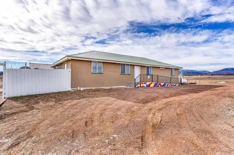
0000 Parcel C Burnt Ml Rd Beulah, CO 81023
Property Features for 0000 Parcel C Burnt Ml Rd
General Information
- Property type
- Land
- Standard status
- Active
- Lot size
- 35.00 Acres

Listing Agency: CENTURY 21 COMMUNITY FIRST Listing Agent: Darcy Shaffer
Displayed information is deemed reliable but is not guaranteed and should be independently verified.
Overview
Land Parcel in Beulah, CO
Current Use by Public Records
Map
- City
- Beulah
- County
- Pueblo
- State
- Colorado
- Longitude
- -104.937
- Latitude
- 38.0903