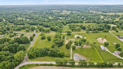
1203 N State Route 291 Highway, Liberty, MO 64068
- Added:
- Jun 18, 2026
- Days on Market:
- 5
- Last Refresh:
- Jun 22 at 5:06 am
Property Features for 1203 N State Route 291 Highway
General Information
- Property type
- Commercial Sale
- Property subtype
- Other
- Zoning
- R
- Standard status
- Active
- APN
- 14-311-00-01-001.00
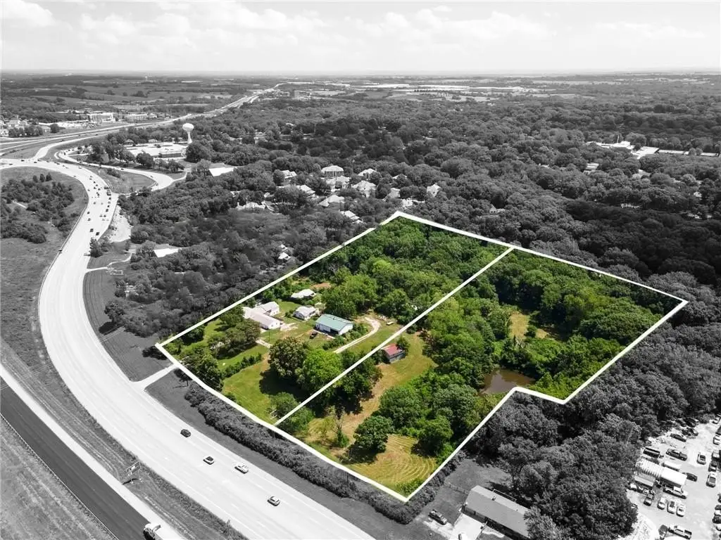
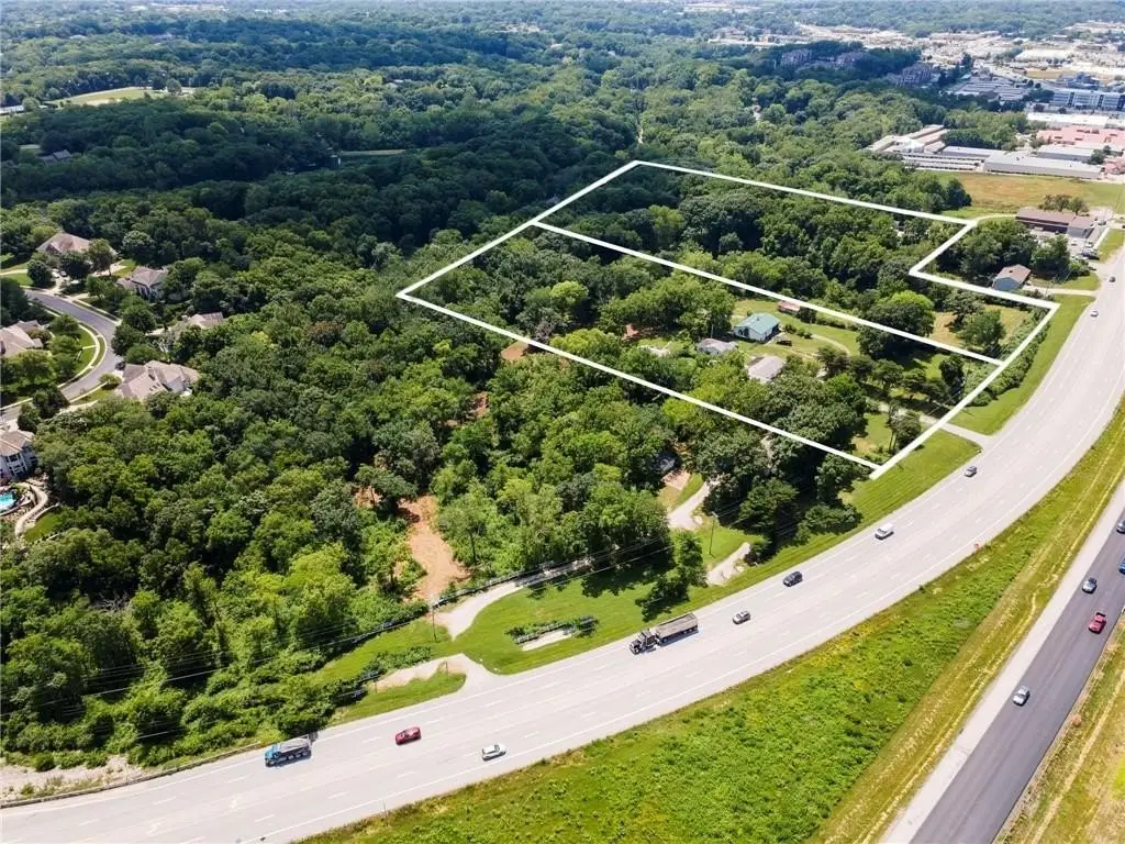
- Lot size
- 9.51 Acres
Taxes and HOA fees
- Tax Description
- CITY BLOCKS LIBERTY PT CB 147 BEG NE COR LT2 LIBERTY COMMERCIAL PARK, W465, N130, W245.83 TO EL 291 HWY, N ALG ROW 195, E700, S330 TO POB & CITY BLOCKS LIBERTY PT CB 147 BEG PT 330.22'N OF NE COR LT 2 LIBERTY COMMERCIAL PARK, E700, NLY320, E650, S323.4 TO POB
- Tax Annual Amount
- 6702
Utilities
- Utilities
- Water Available
Listing agent Nelson Home Group (816) 459-0029
Listing office Keller Williams KC North 310 NW Englewood Road Ste No., Kansas City, MO (816) 452-4200
Listing date Jun 18, 2026
Copyright © 2026 Heartland Multiple Listing Service. All rights reserved. All information provided by the listing agent/broker is deemed reliable but is not guaranteed and should be independently verified.
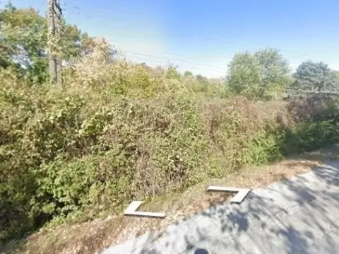
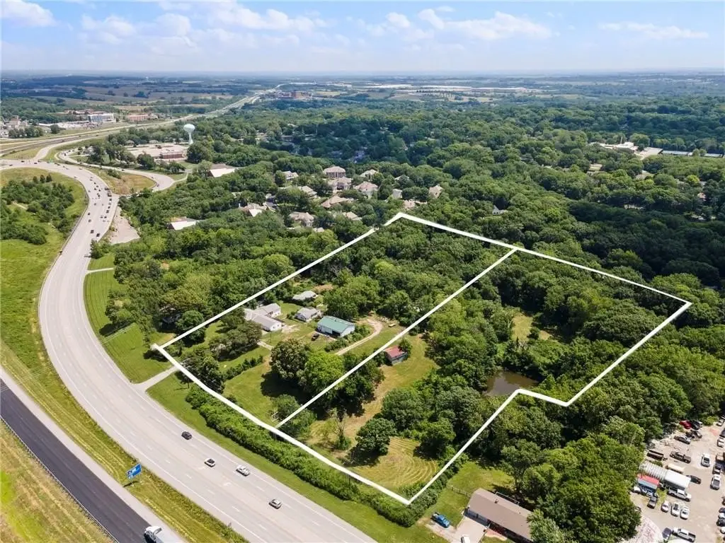
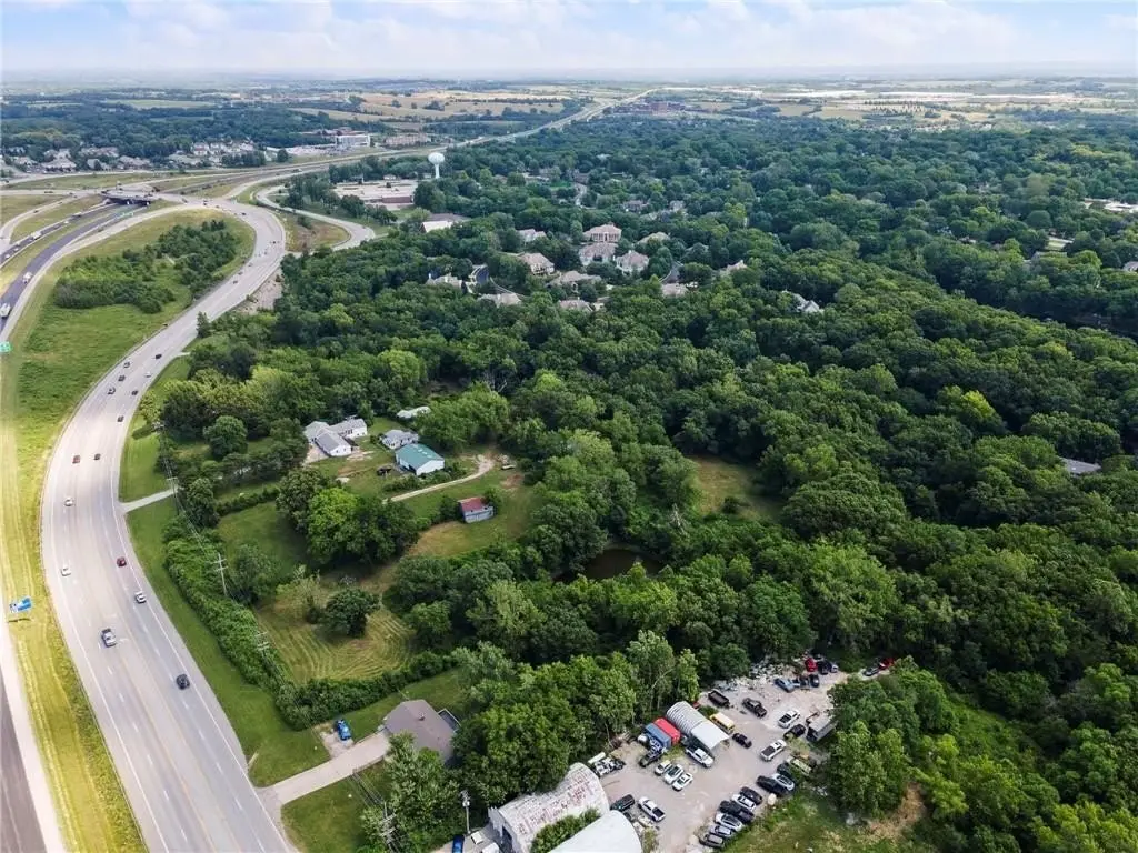
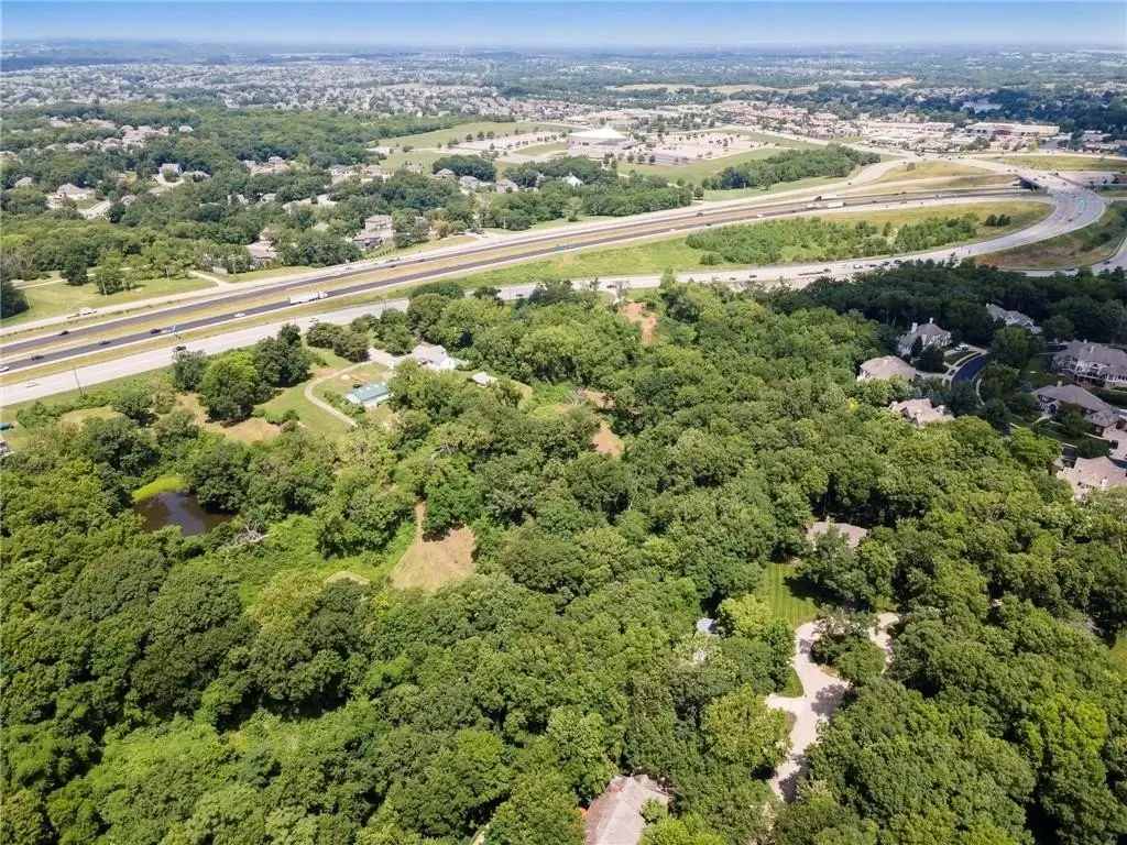
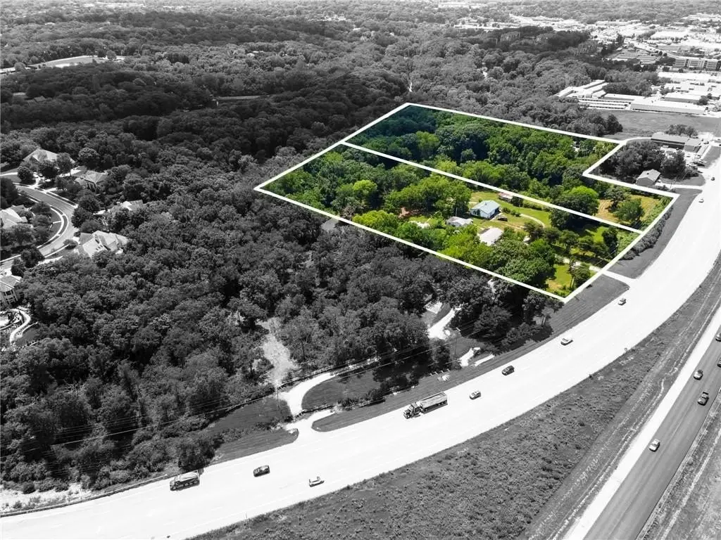
HighLights
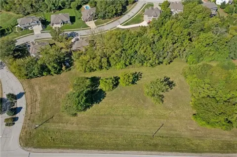
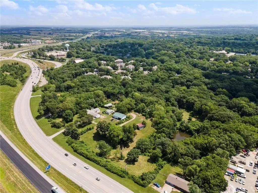
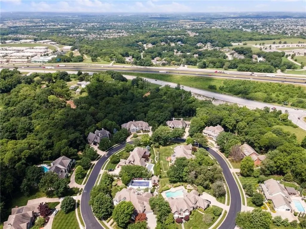
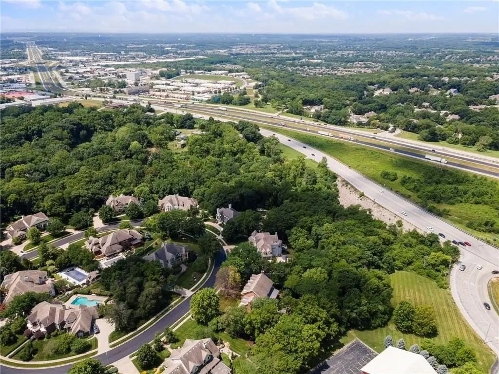
- Nearly 10‑acre commercial development site with 9.51 acres (combined) of wooded and partially cleared land
- Direct frontage along 291 Hwy with immediate access to I‑35 via the I‑35 & 291 interchange
- Flat topography ideal for development
- Utilities available at the site (water available)
- Currently zoned residential, and both parcels are within Liberty’s comprehensive plan for future commercial zoning
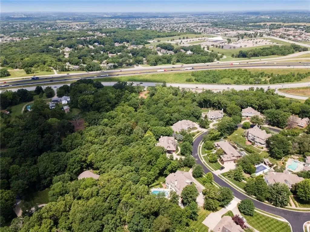
- Location near major commercial centers and national retailers in the Liberty area
Overview
The property is positioned just off the I-35 and 291 Hwy interchange, giving it access to a high-traffic corridor and direct connection to area routes. It is currently zoned residential under zoning “R,” and the remarks indicate the parcels sit within Liberty’s comprehensive plan for future commercial zoning.
For developers and end users evaluating sites before a rezoning transition, this property presents a practical option for planning a future commercial project on a relatively level, partially cleared tract. The combination of interchange proximity, direct route access, and available utilities supports a wide range of potential uses that can be aligned with how the City of Liberty advances commercial zoning for the area.
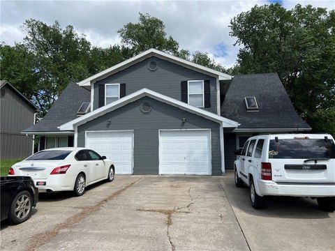
Current Use by Public Records
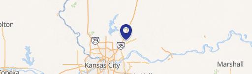
Map
- City
- Liberty
- County
- Clay
- State
- Missouri
- Longitude
- -94.448686
- Latitude
- 39.259423