Secluded Pasture and Pond
120 Acres Zinnamon Church Road West Fork, AR 72774
120 Acres Zinnamon Church Road, West Fork, AR, 72774
$750,000
For Sale
$750,000
LAND - West Fork, AR
Lot Size120.00 Acres
Days on Market47
Property Features for 120 Acres Zinnamon Church Road
General Information
- Property type
- Land
- Property subtype
- Other
- Vegetation
- Wooded
- Standard status
- Active
- APN
- 001-01350-000
- Lot size
- 120.00 Acres
Taxes and HOA fees
- Tax Description
- see attached
- Tax Annual Amount
- 152
Utilities
- Sewer type
- Septic Needed
- Water source
- Well
Listing Agency
Mossy Oak Properties Field, Farm, and Homes
(479) 480-7000
1200 Fort Street, Barling, AR
Listed by
Jonathan Maynard · License #SA00077118
(479) 249-5994
Added: Jun 3 Checked: Jul 19 at 9:06 am
MLS# 1349781
Listing URL
Copyright © 2026 ArkansasONE MLS. All rights reserved. All information provided by the listing agent/broker is deemed reliable but is not guaranteed and should be independently verified.
Investment Insights
Based on property information with market context.
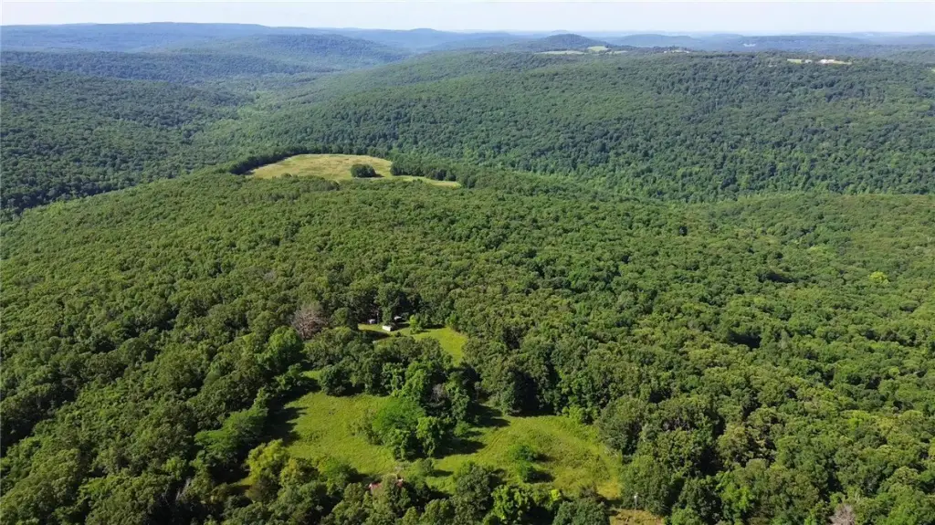
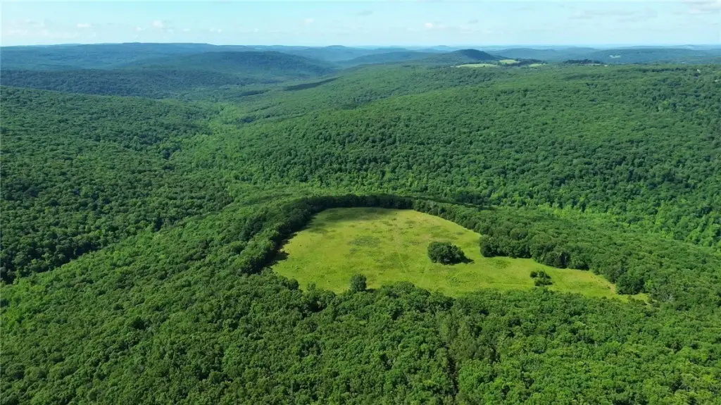
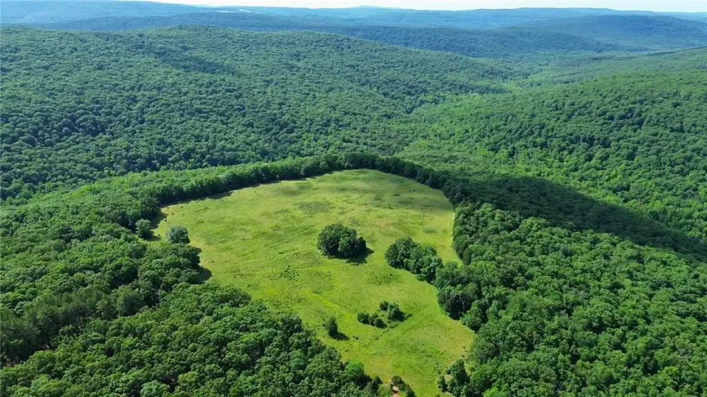
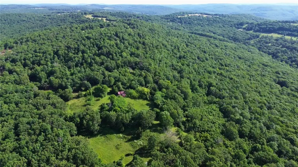
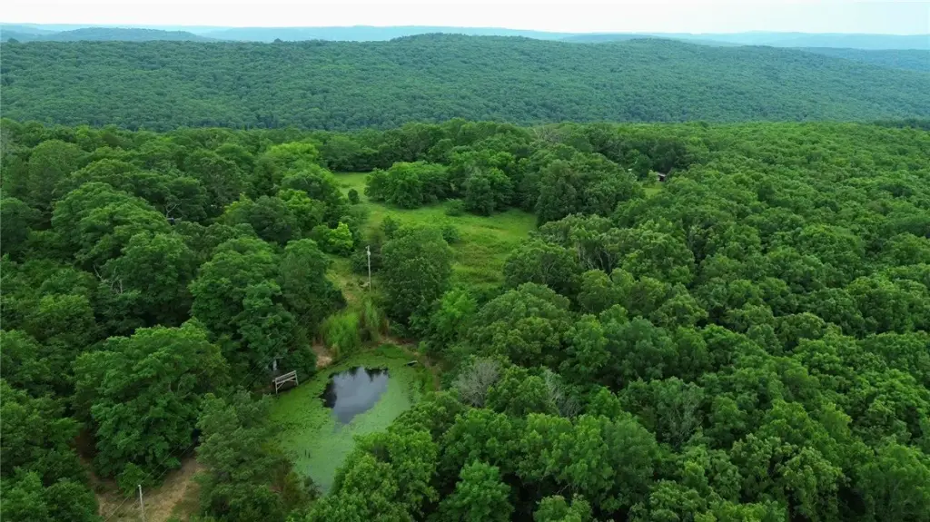
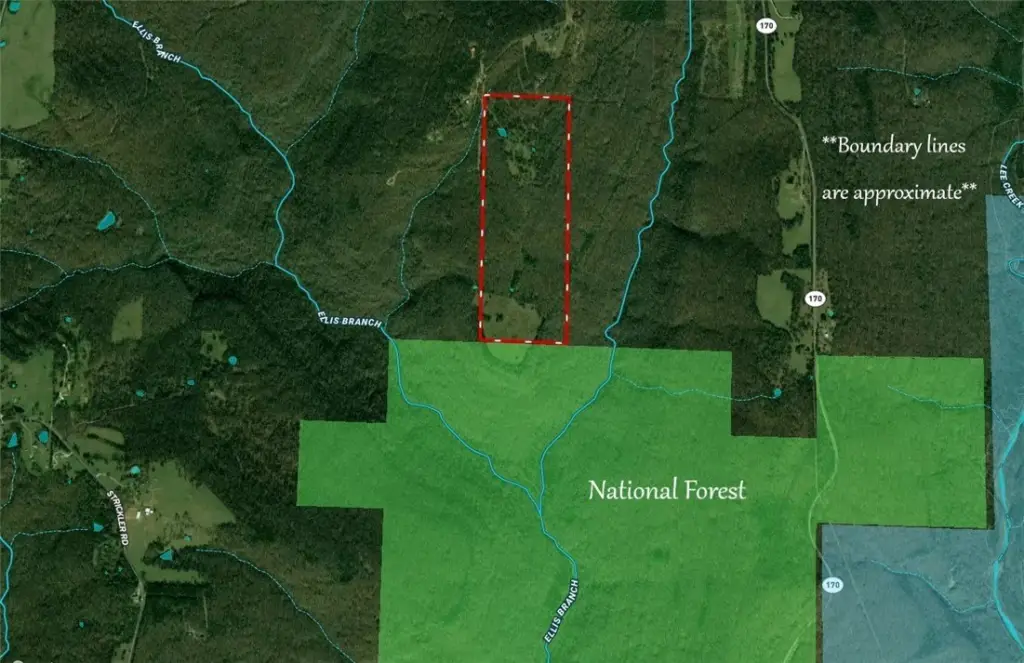
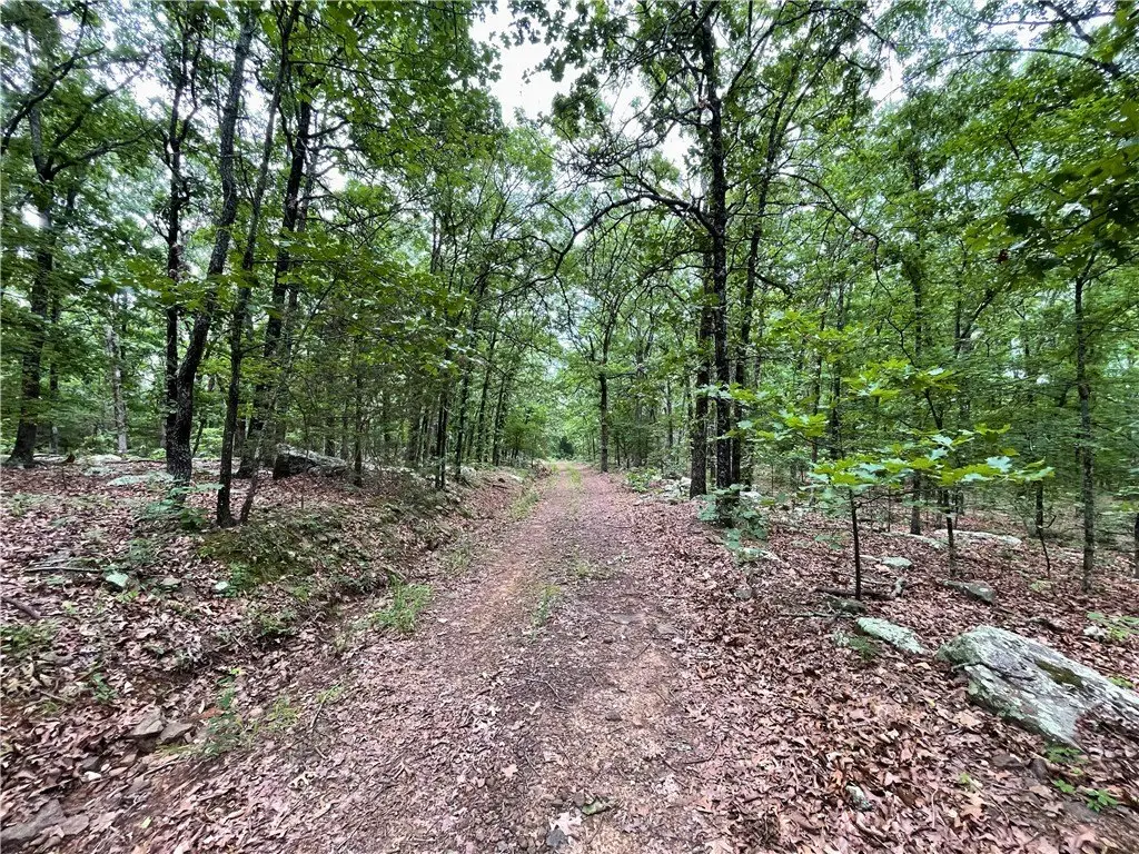
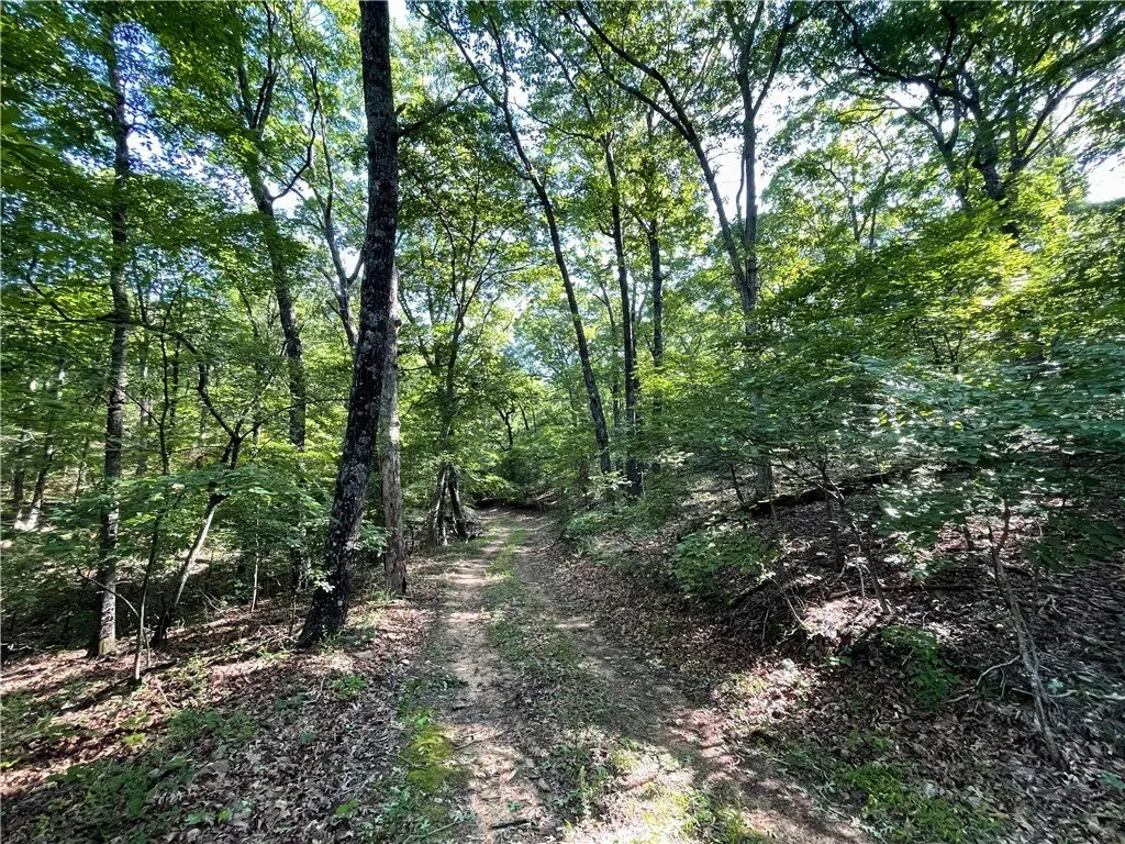
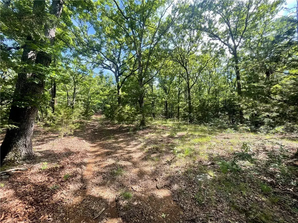
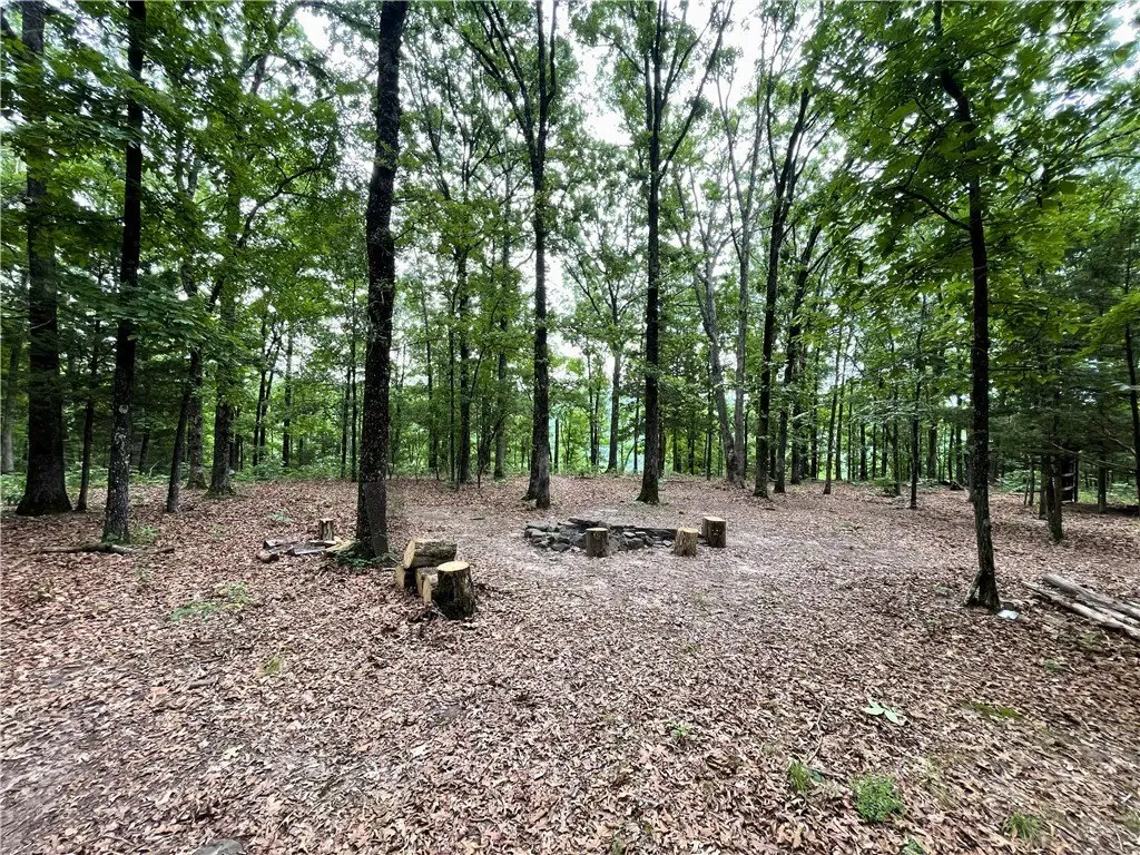
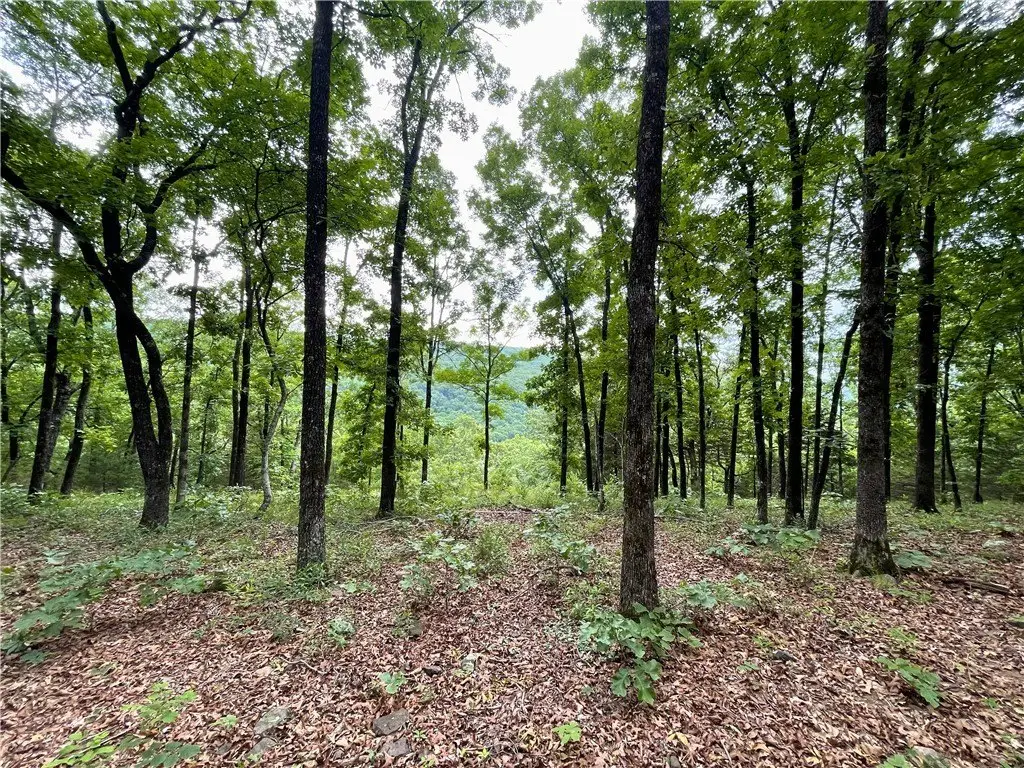
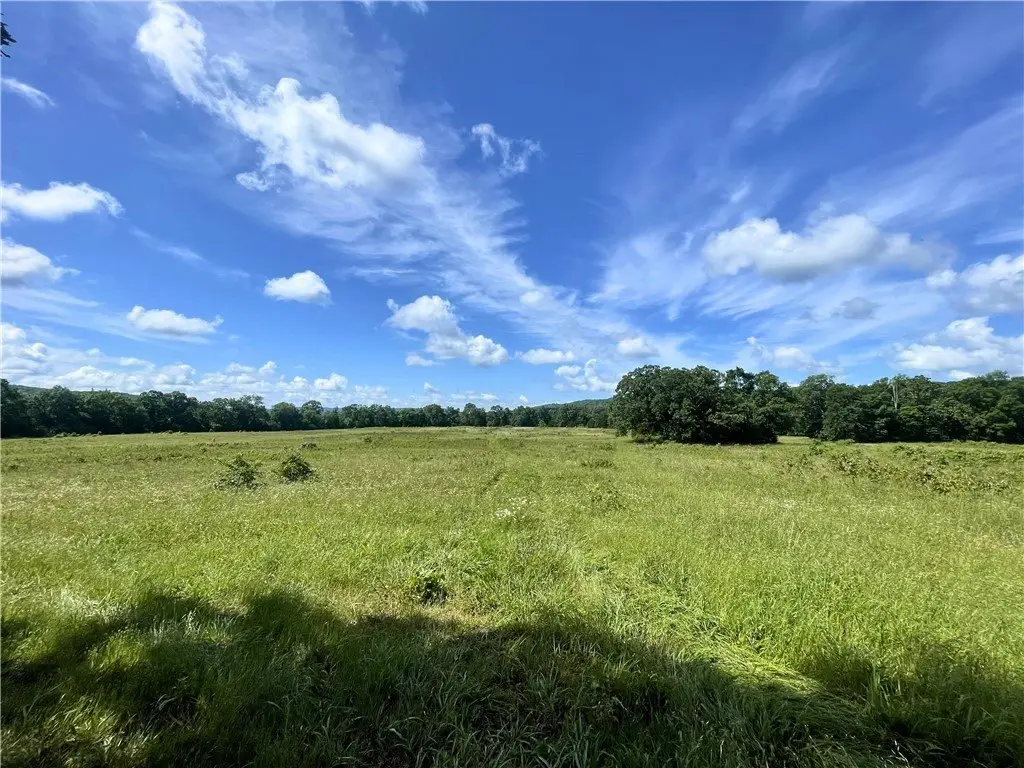
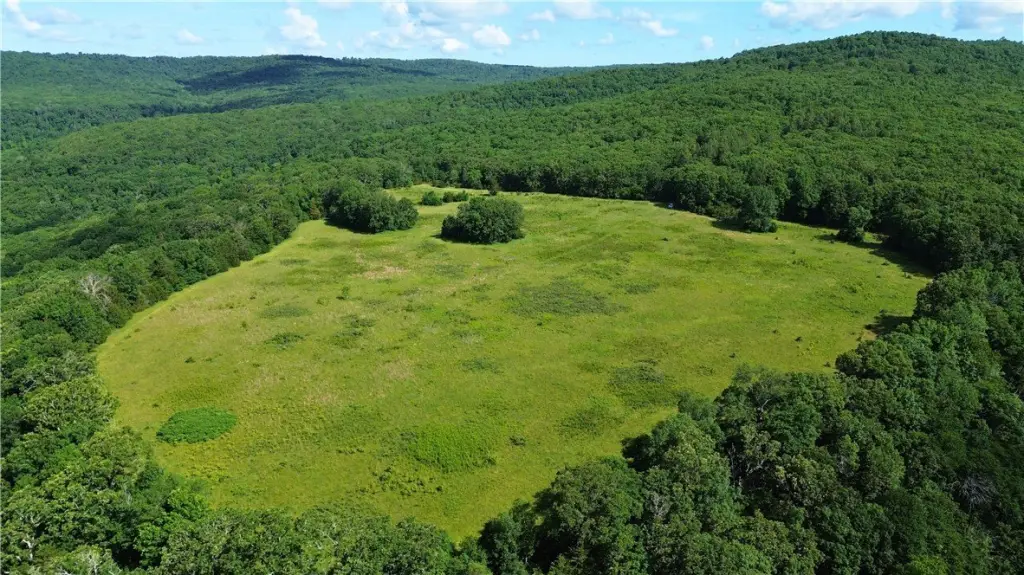
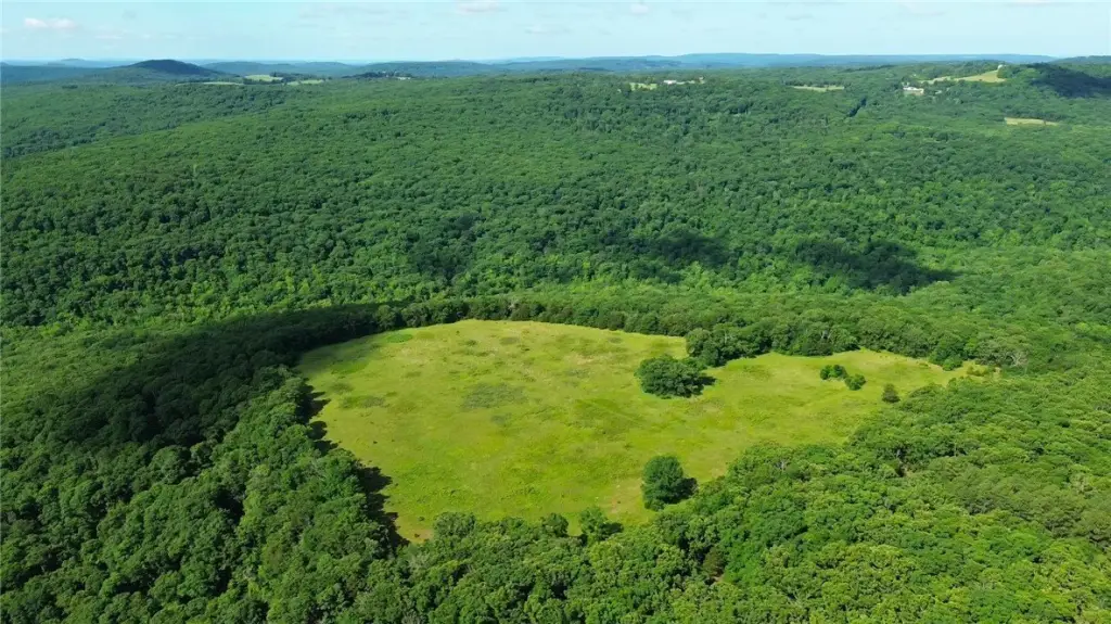
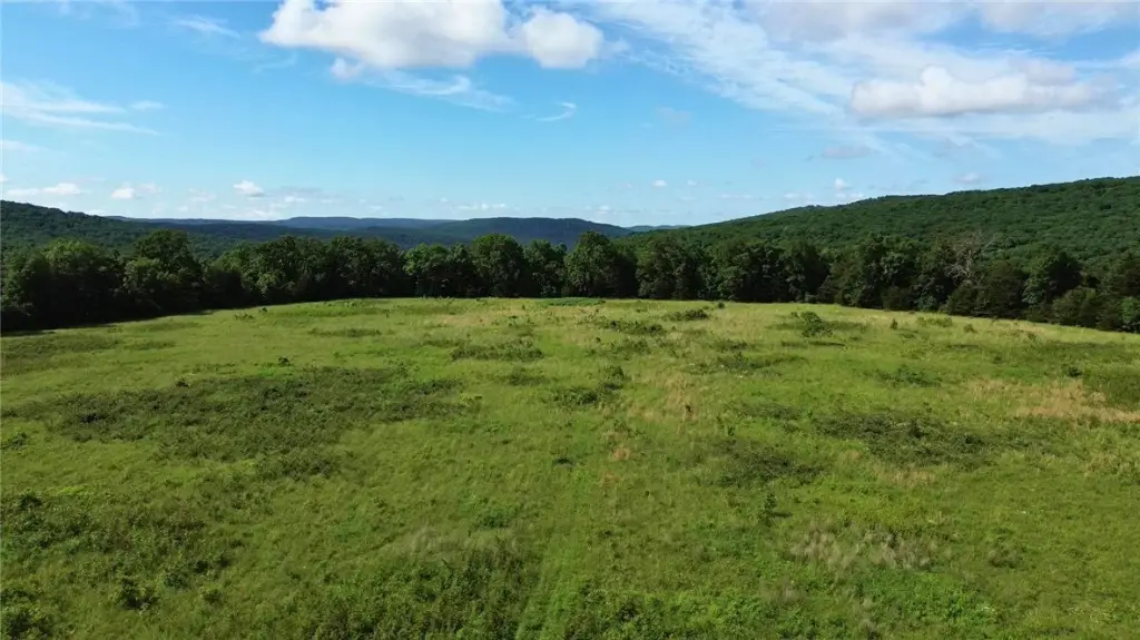
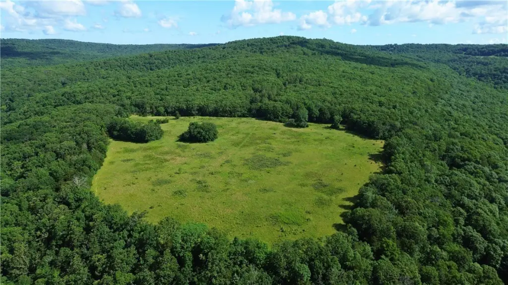
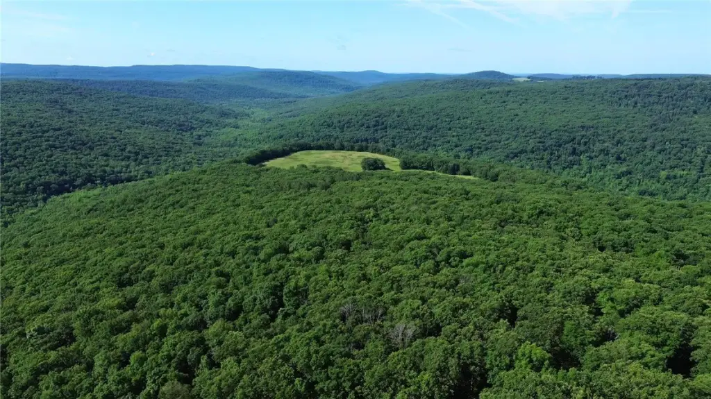
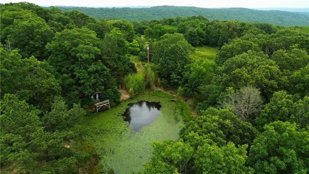
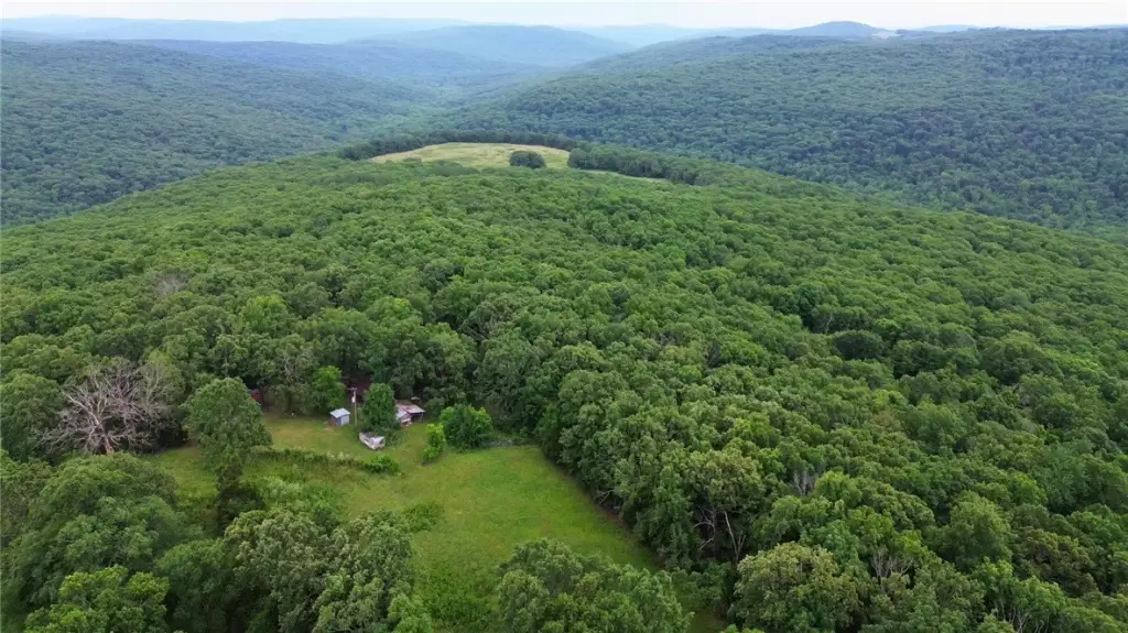
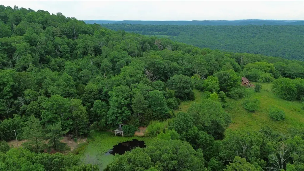
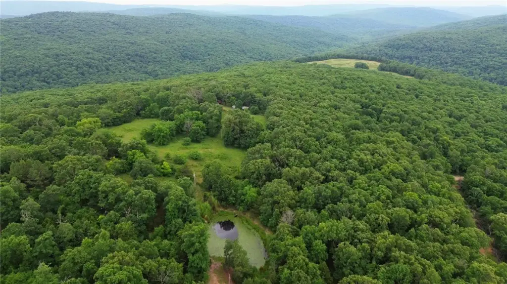
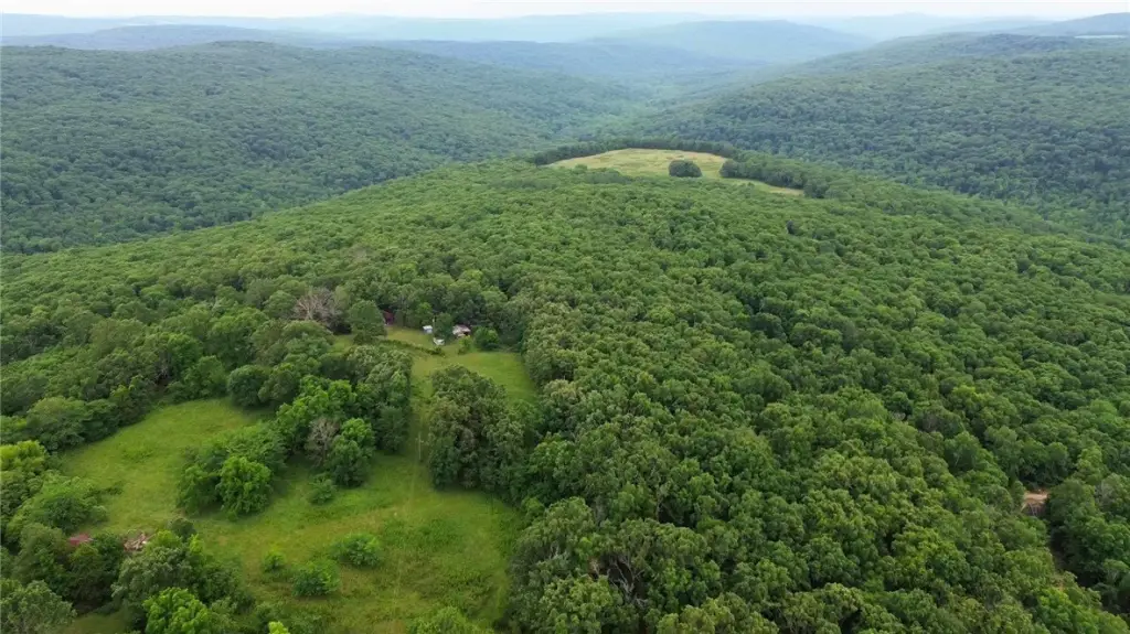
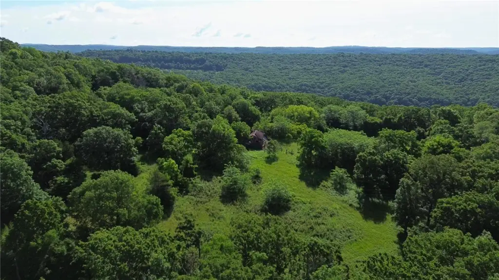
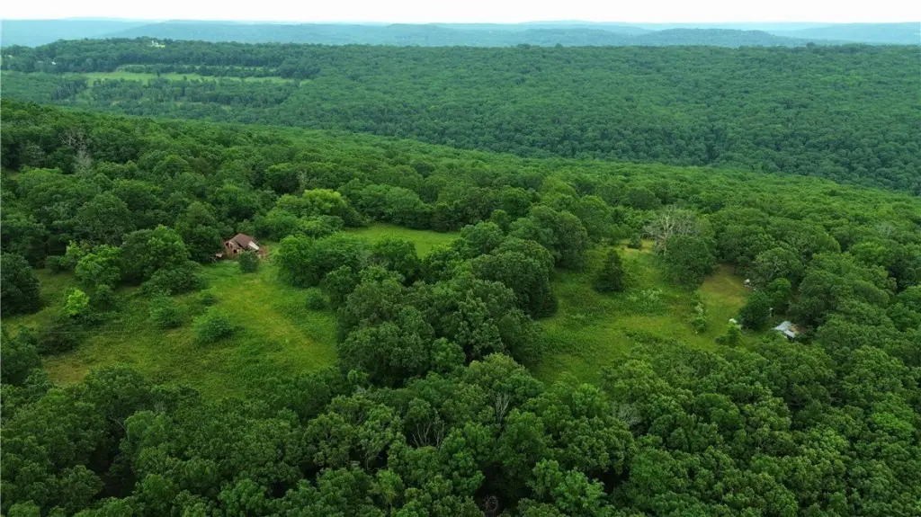
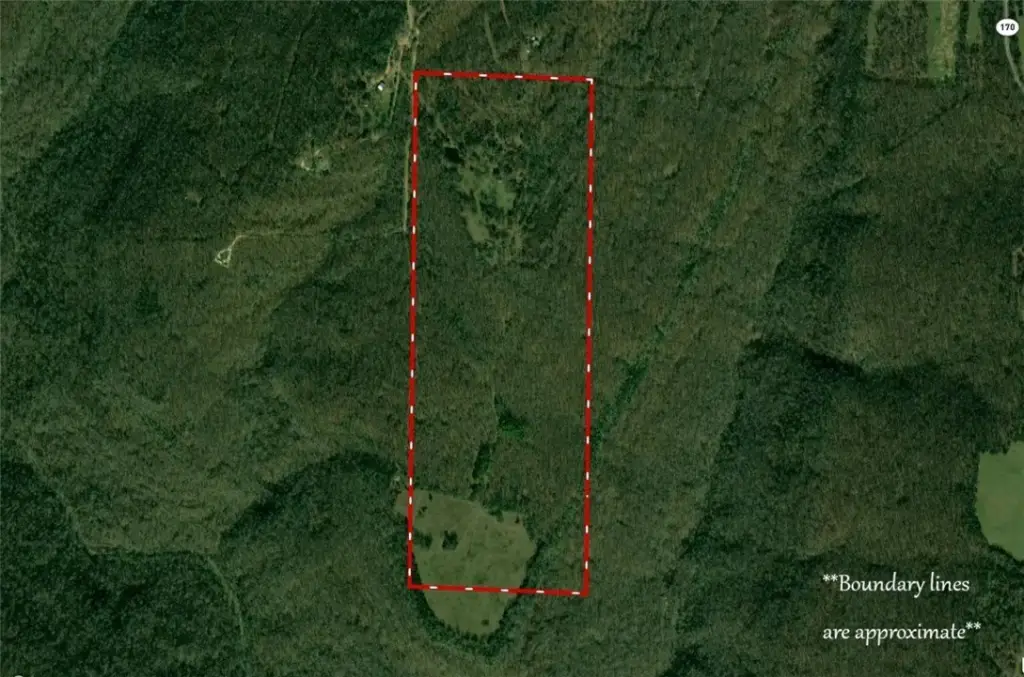
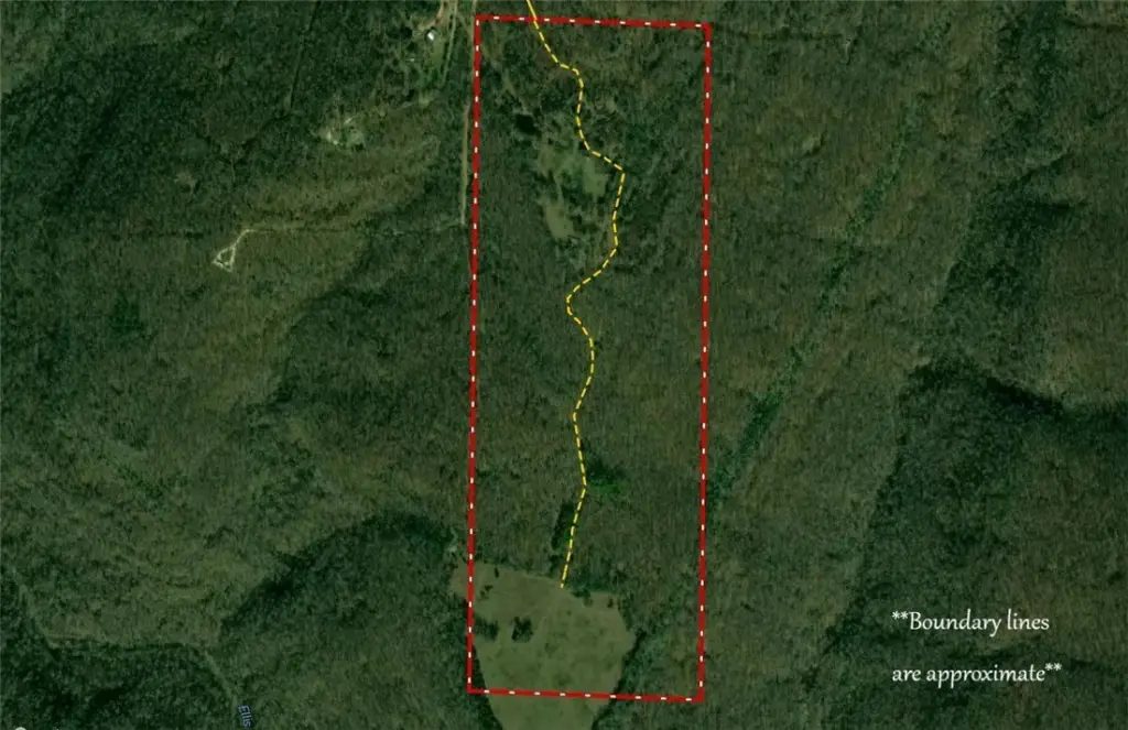
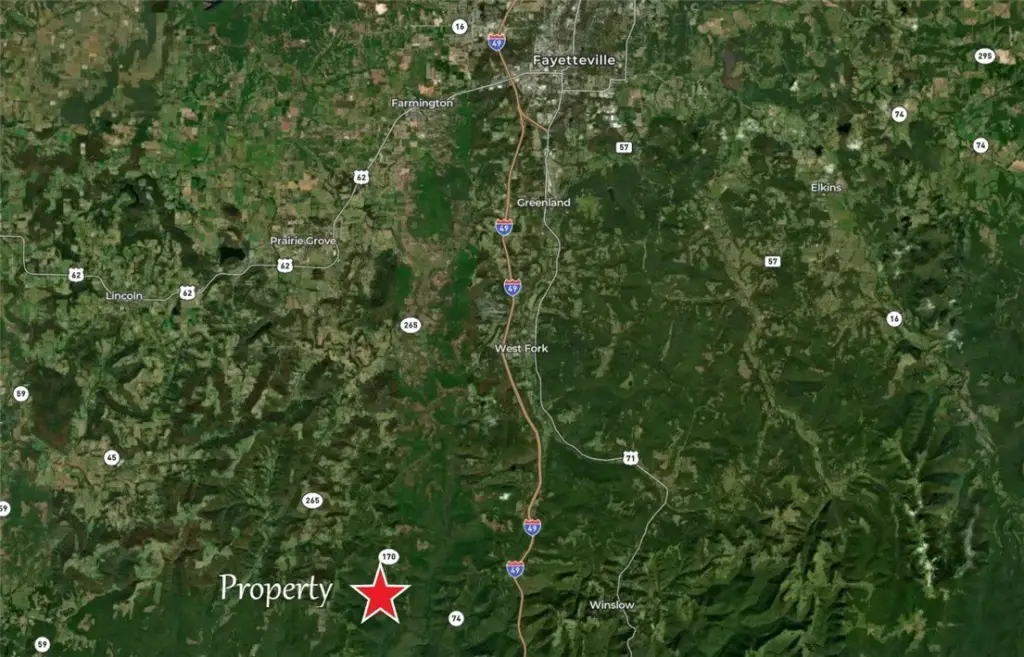
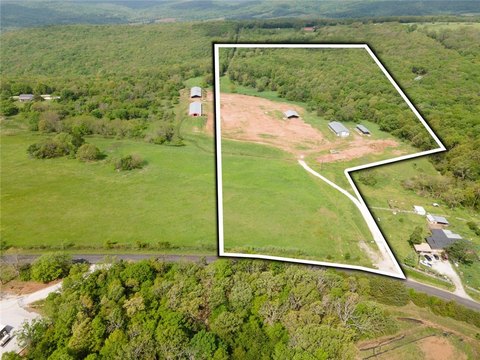
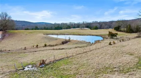
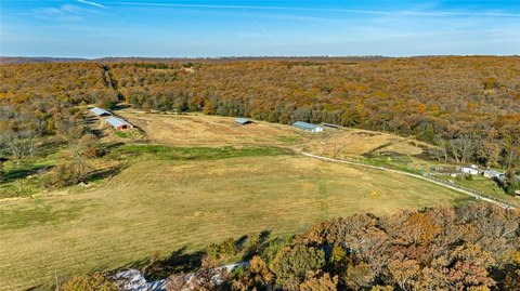
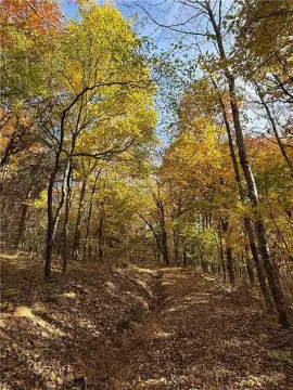
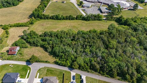
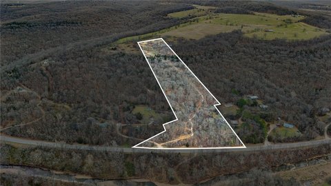
This offering is a 120-acre tract of Washington County ground that includes approximately 13 acres of flat pasture on the southern portion, with additional pasture connected to adjoining National Forest land. On the northern end, there is approximately 5 acres of pasture plus a pond. Ellis Branch runs through the property, and the land includes build sites from one end to the other, with electric service on site and an existing water tap.
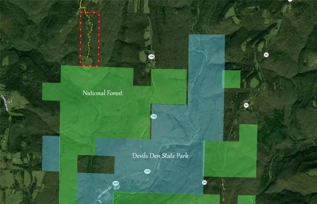
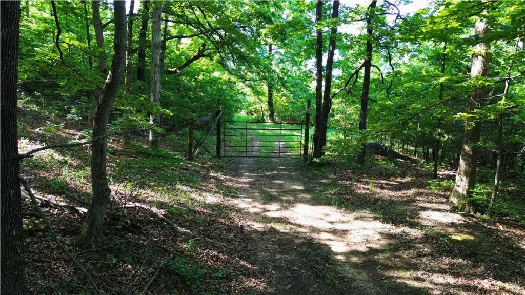
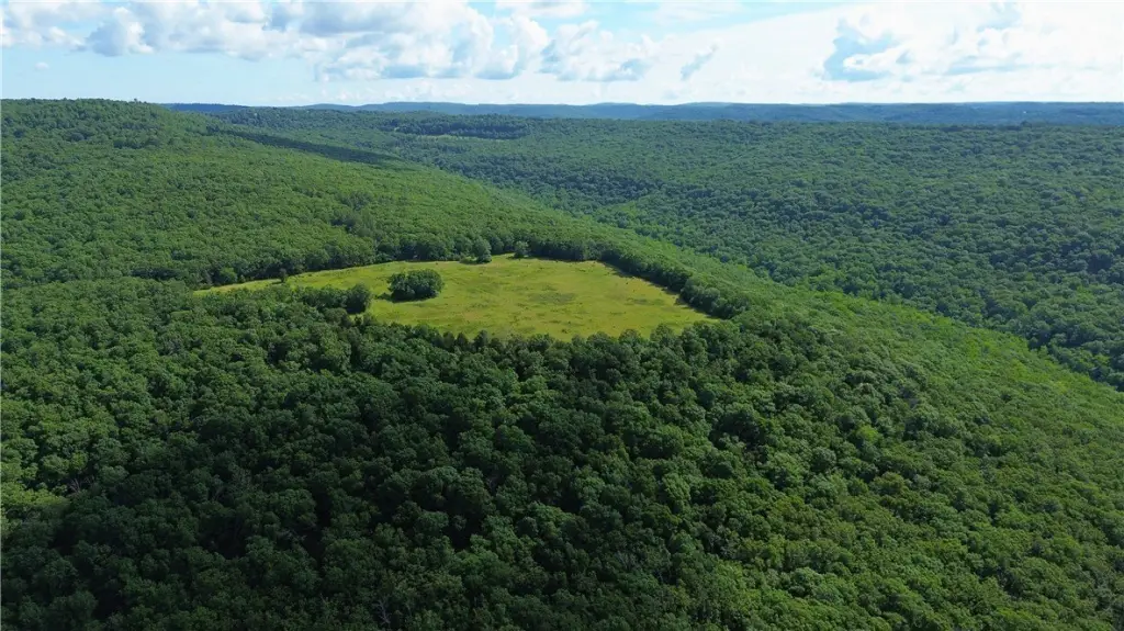
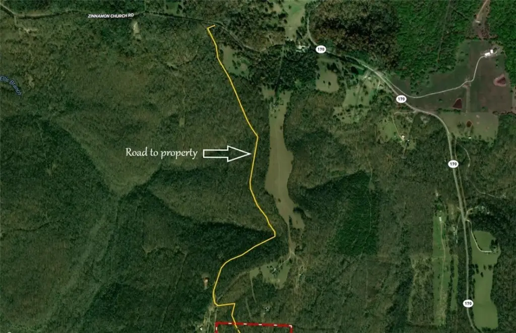
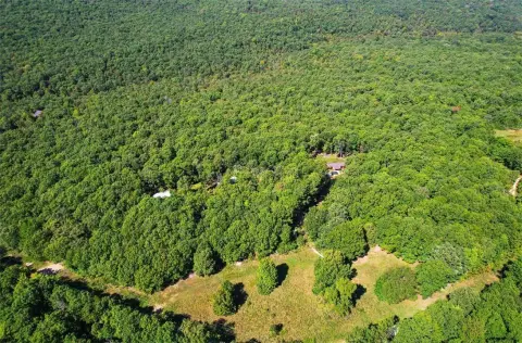
The property is described as secluded and located at the end of a private drive, adjoining National Forest. It also shares proximity to Devils Den State Park, and it is positioned to provide access into a remote and difficult-to-reach area of the National Forest.
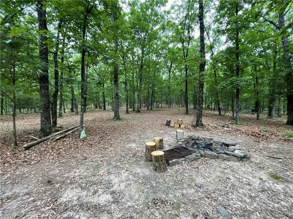
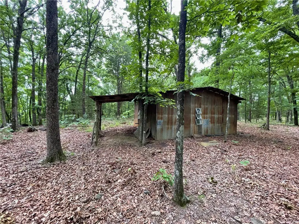
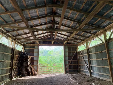
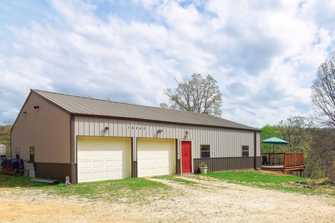
This setup can work well for buyers looking for a large, private acreage holding that supports agricultural-style pasture use while also offering multiple potential build areas and convenient utilities. The presence of pasture areas, a pond, and on-site electric and water makes the property particularly practical for buyers who want to blend land-based recreation and residential or outbuilding development without relying on off-site infrastructure.
The property is described as secluded and located at the end of a private drive, adjoining National Forest. It also shares proximity to Devils Den State Park, and it is positioned to provide access into a remote and difficult-to-reach area of the National Forest.
This setup can work well for buyers looking for a large, private acreage holding that supports agricultural-style pasture use while also offering multiple potential build areas and convenient utilities. The presence of pasture areas, a pond, and on-site electric and water makes the property particularly practical for buyers who want to blend land-based recreation and residential or outbuilding development without relying on off-site infrastructure.
Key Highlights
- 120 acres in Washington County adjoining National Forest
- About 13 acres of flat pasture on the southern end with additional pasture adjoining National Forest land
- About 5 acres +/- of pasture on the northern end plus a pond
Property Analytics
Property Profile
Location Intelligence
Current Use by Public Records
Agricultural land / Farmland
Similar For Sale Nearby

FAQs
What type of property is this?
Agricultural land / Farmland - 120-acre property with pasture, pond, and utility availability ideal for private development and outdoor use.
Where is this agricultural land / farmland located?
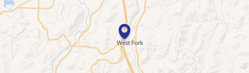
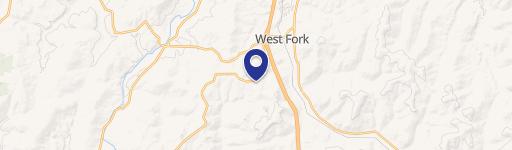
The property is located at 120 Acres Zinnamon Church Road West Fork, AR.
What is the asking price?
The asking price for this property is $750,000.
What are key features of this property?
This property features: 120 acres in Washington County adjoining National Forest; About 13 acres of flat pasture on the southern end with additional pasture adjoining National Forest land; About 5 acres +/- of pasture on the northern end plus a pond