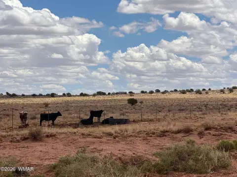
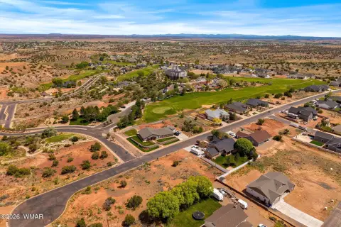
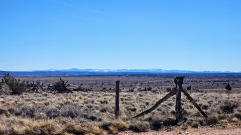
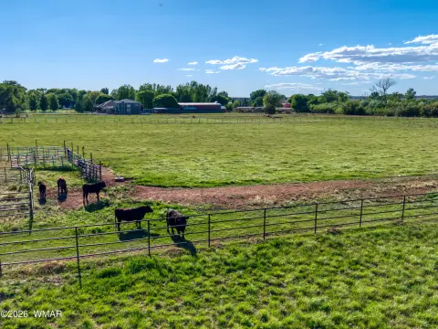
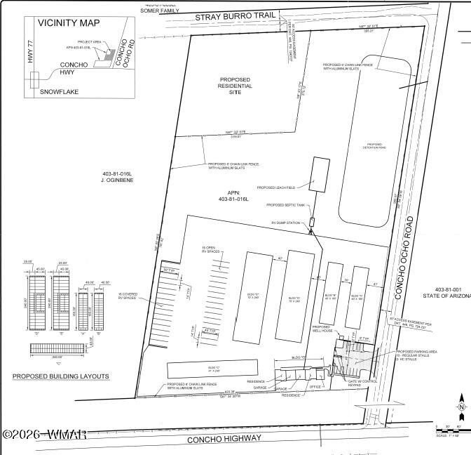
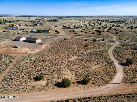
+/- 13 Miles West of Snowflake, Snowflake, AZ
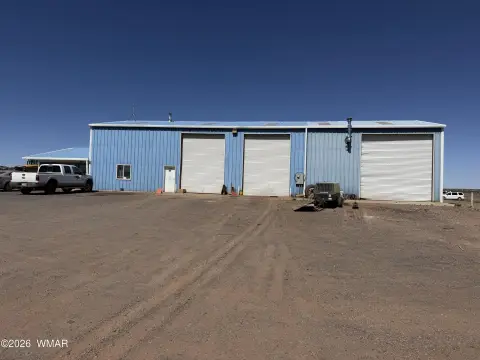
Land parcel near Snowflake, Arizona, with railway access.
- Added:
- Nov 30, 2018
- Days on Market:
- 2747
- Last Refresh:
- May 20 at 9:51 pm
Property Features for +/- 13 Miles West of Snowflake
General Information
- Standard status
- Active
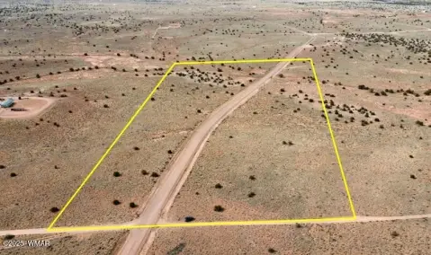
- Lot size
- 1,550.00 Acres
- Property subtype
- LAND

Listing agent John Filli SIOR License #BR007676000 (602) 791-3828
Listing office NAI Horizon - Phoenix (602) 791-3828
Listing date Nov 30, 2018
Source Moodyscre
Displayed information is deemed reliable but is not guaranteed and should be independently verified.
All listing content including descriptions, pricing, images are the copyrighted material of NAI Horizon - Phoenix
HighLights
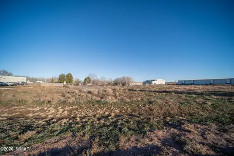
- Located in Navajo County, Arizona.
- 13 miles west of Snowflake.
- Adjacent to State Route 277.
- Served by the Apache Railway.
- Apache Railway connects to the BNSF line at Holbrook.
- Contact Mark Wilcke at [email protected] for information.
Overview
Current Use by Public Records
Map
- City
- Snowflake
- County
- Navajo
- State
- Arizona
- Longitude
- -110.078
- Latitude
- 34.5134