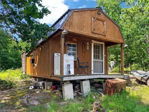
Timbered Hunting Land with Road
TBD SE 1118 AVE Panola, OK 74559

For Sale
$45,000
LAND - Panola, OK
Lot Size14.72 Acres
Days on Market50
Property Features for TBD SE 1118 AVE
General Information
- Property type
- Land
- Property subtype
- Other
- Standard status
- Active
- APN
- 0125-00-000-014-0-000-00
- Lot size
- 14.72 Acres
Taxes and HOA fees
- Tax Description
- WS#1, Lot or Parcel 14 of Winding Stair Hills of Home Part 1
- Tax Annual Amount
- 68
Utilities
- Sewer type
- Other, Septic Needed
Listing Agency:
Keller Williams Platinum Realty
(479) 434-3000
Listed By:
Roberts Realty Partners
(479) 434-3000
Added: Jun 4
Changed: Jul 23
Last Checked: Jul 23 at 10:06PM
MLS# 1089529
Copyright © 2026 Western River Valley Board of REALTORS®. All rights reserved. All information provided by the listing agent/broker is deemed reliable but is not guaranteed and should be independently verified.
Investment Insights
Based on property information with market context.
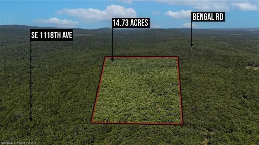
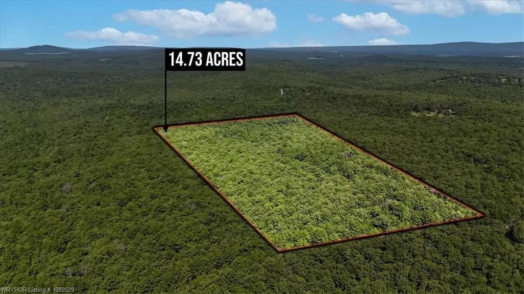
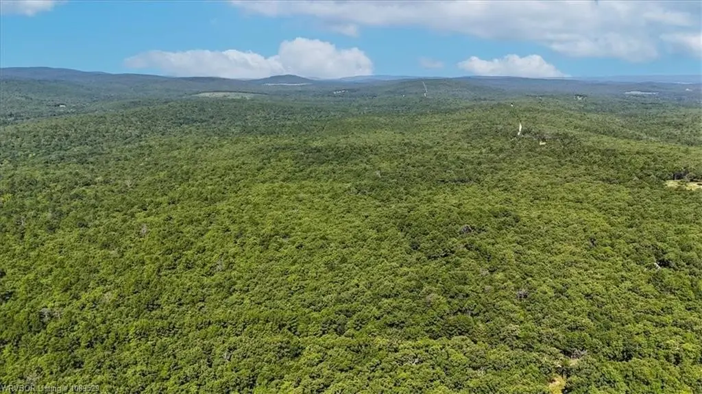
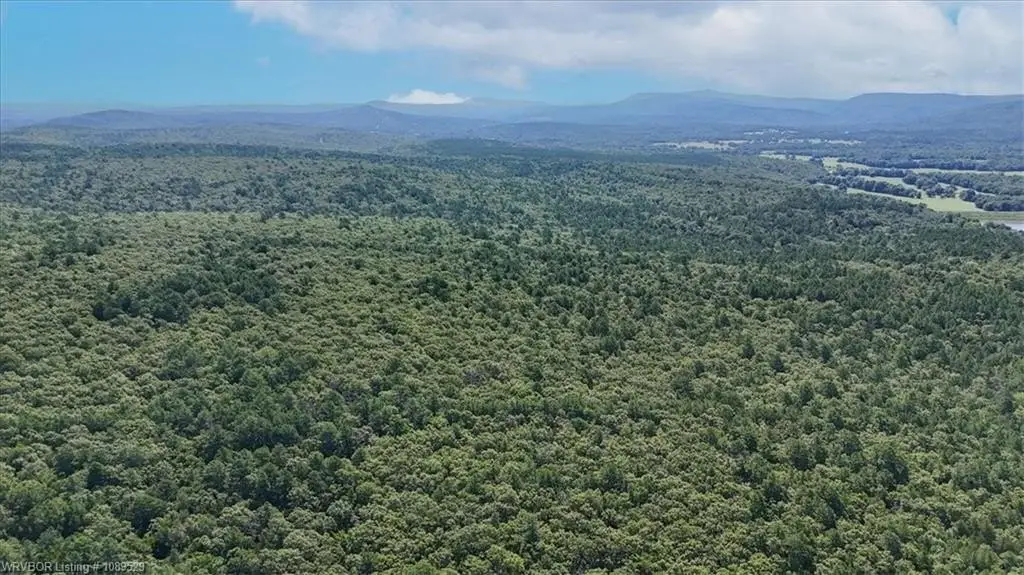
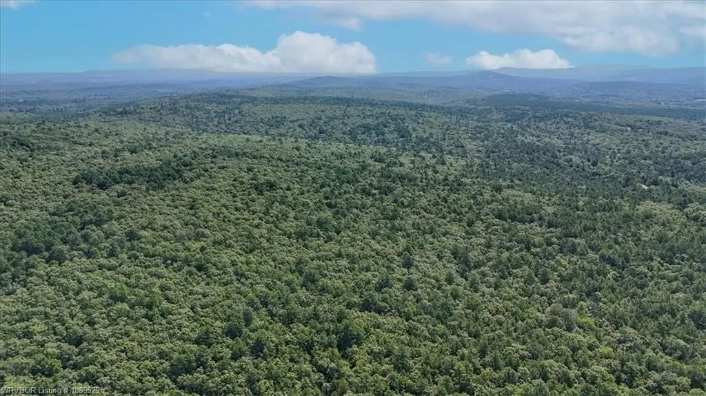
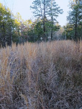
This for-sale land offering consists of an approximately 14.72-acre, untouched mountain tract with dense timber cover. The terrain ranges from level to gently sloping, with elevation noted from about 820 to 880 feet. A large, level flat on the front half of the acreage is identified as a suitable building site, while the gentle slope toward the back is described as providing panoramic mountain views.
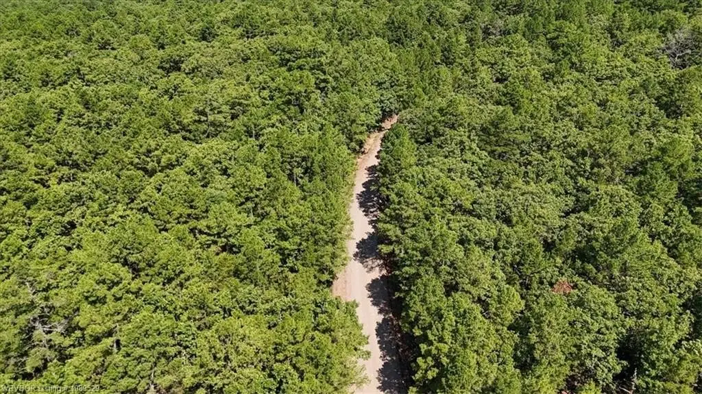
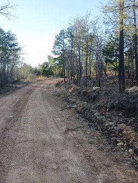
The property is accessible year-round via a well-maintained gravel county road and includes approximately 500 feet of direct road frontage. Electricity is described as available nearby. The site is also described as positioned for off-grid utilities, with references to rain catchment, water wells, and septic systems as workable services for homesteads in the area.
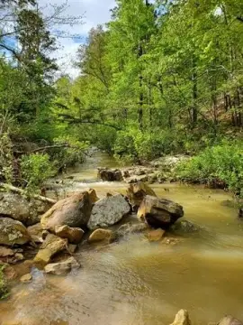
For outdoor recreation access, the public remarks indicate proximity by drive time to the Ouachita National Forest and Winding Stair Mountain Recreation Area, along with mentions of Cedar Lake Recreation Area and Lake Wister/Lake Wister State Park. GPS coordinates are provided as 34.85659, -95.11896.
The property is accessible year-round via a well-maintained gravel county road and includes approximately 500 feet of direct road frontage. Electricity is described as available nearby. The site is also described as positioned for off-grid utilities, with references to rain catchment, water wells, and septic systems as workable services for homesteads in the area.
For outdoor recreation access, the public remarks indicate proximity by drive time to the Ouachita National Forest and Winding Stair Mountain Recreation Area, along with mentions of Cedar Lake Recreation Area and Lake Wister/Lake Wister State Park. GPS coordinates are provided as 34.85659, -95.11896.
Key Highlights
- 14.72 +/- acre wooded mountain tract in southeast Oklahoma with 500 ft of direct gravel county road frontage
- Year‑round access via a well‑maintained gravel county road, with a large level front building area
- Diverse terrain with elevations from 820 to 880 ft, including gentle slope toward the back
Property Analytics
Property Profile
Location Intelligence
Current Use by Public Records
Hunting land
FAQs
What type of property is this?
Hunting land - Timbered mountain tract with about 500 feet of direct gravel-road frontage, suitable for off-grid cabin or homestead.
Where is this hunting land located?
The property is located at TBD SE 1118 AVE Panola, OK.
What is the asking price?
The asking price for this property is $45,000.
What are key features of this property?
This property features: 14.72 +/- acre wooded mountain tract in southeast Oklahoma with 500 ft of direct gravel county road frontage; Year‑round access via a well‑maintained gravel county road, with a large level front building area; Diverse terrain with elevations from 820 to 880 ft, including gentle slope toward the back


