Irrigated Farm With
For Sale
$400,000
Pending
10th Ave and Denton Rd, Saint Paul, NE 68873
Land, Saint Paul, NE
Property SizeContact for details
Lot Size77.27 Acres
Days on Market76
Property Features for 10th Ave and Denton Rd
General Information
Property type
Land
Property subtype
Other
Zoning description
Agricultural
Directions
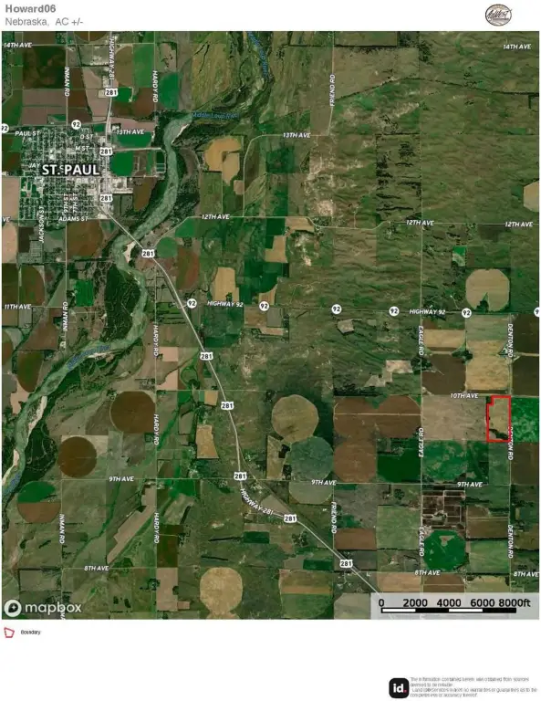
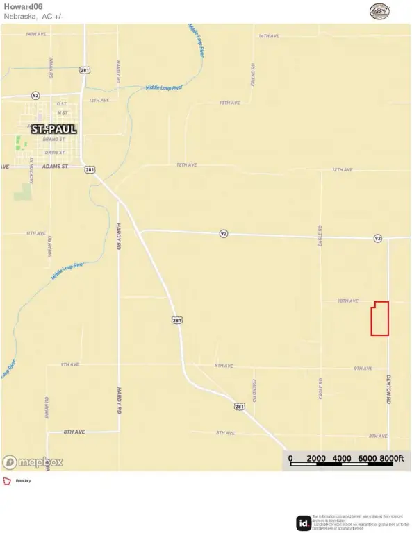
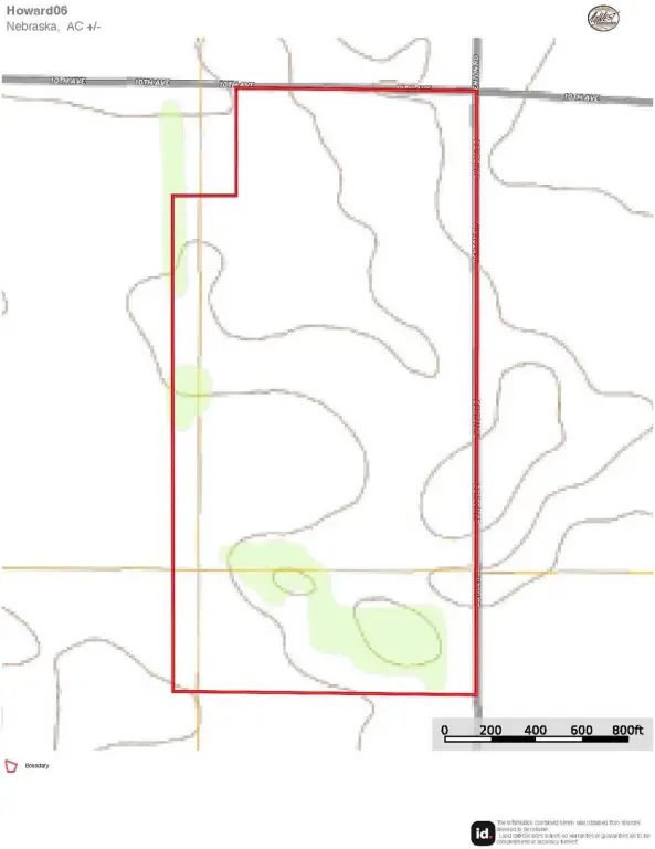
From St. Paul, NE, head south out of town on Highway 281. Then, turn east onto Highway 92. After about four miles, head south on Denton Rd. Continue one mile to 10th Ave - the property is to the southwest of this intersection.
Standard status
Pending
Lot size
77.27 Acres
Taxes and HOA fees
Tax Annual Amount
1809
Listing Agency:
AgWest Land Brokers
Listed By:
Jeff Moon · License #20171092
(308) 995-8067
Added: Jul 14
Changed: Aug 20
Last Checked: Sep 27 at 1:06PM
MLS# 11912763
Copyright © 2026 My State MLS. All rights reserved. All information provided by the listing agent/broker is deemed reliable but is not guaranteed and should be independently verified.
Investment Insights
Based on property information with market context.
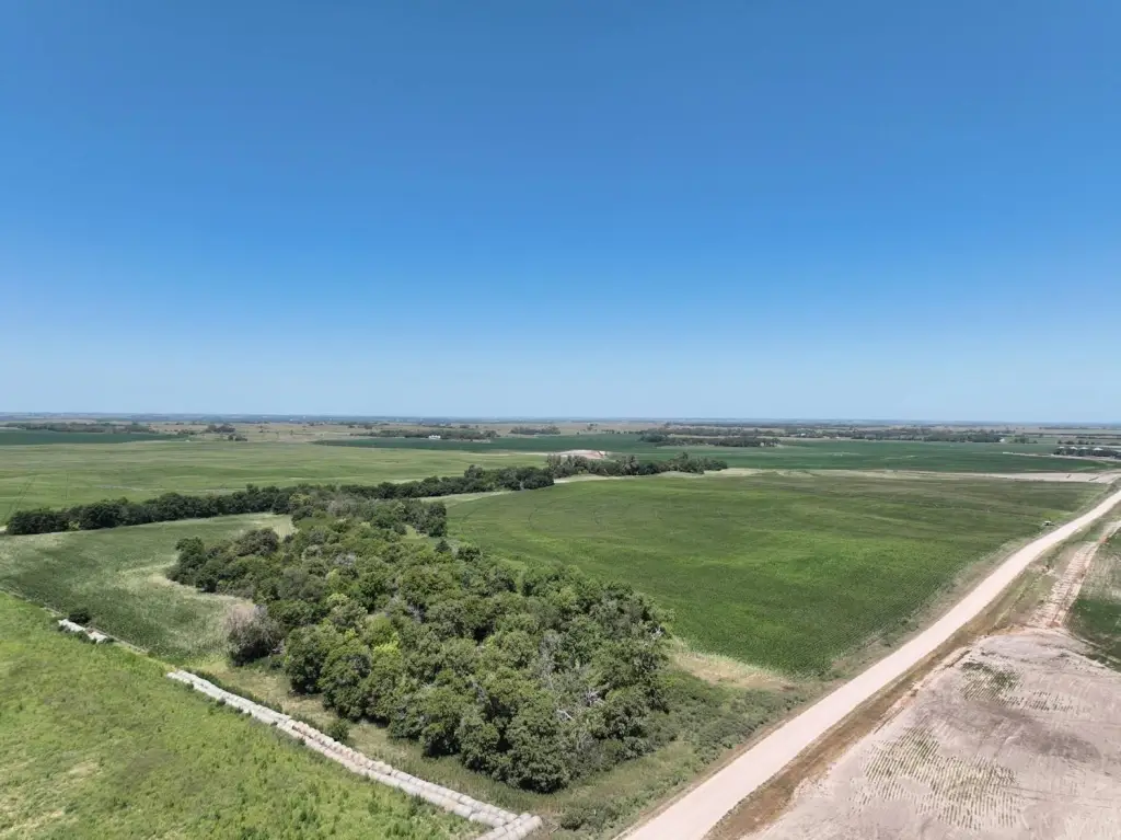
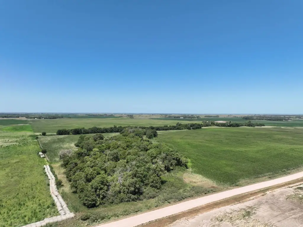
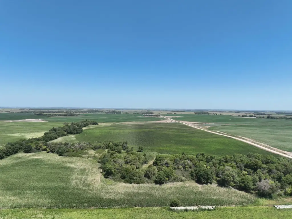
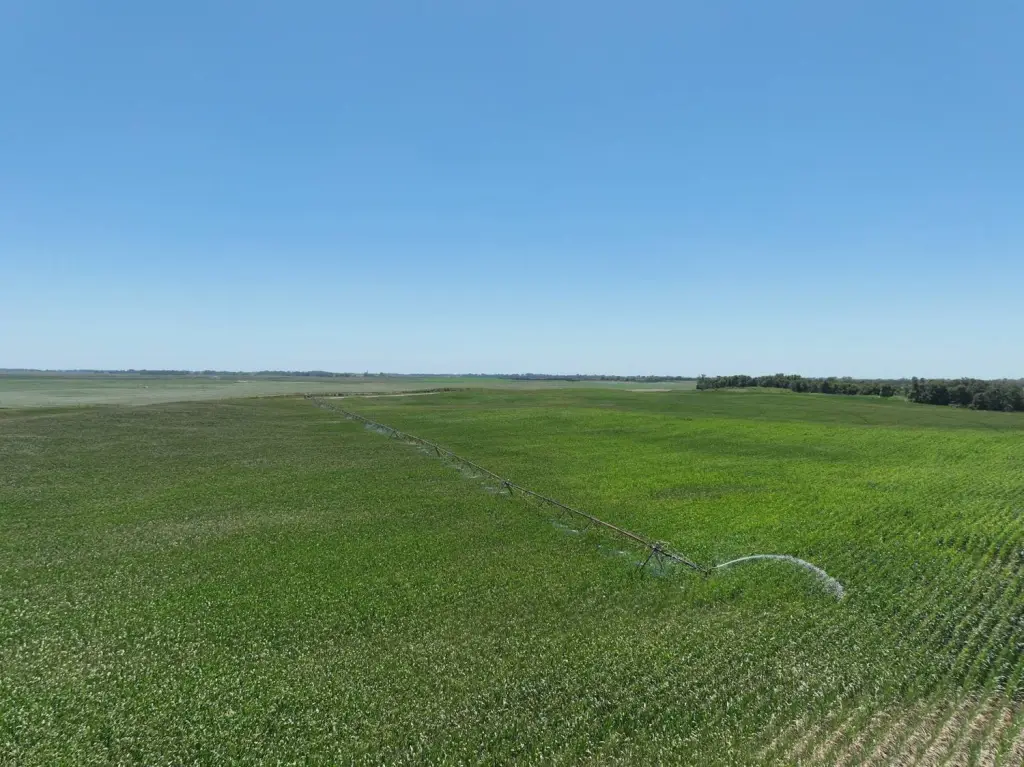
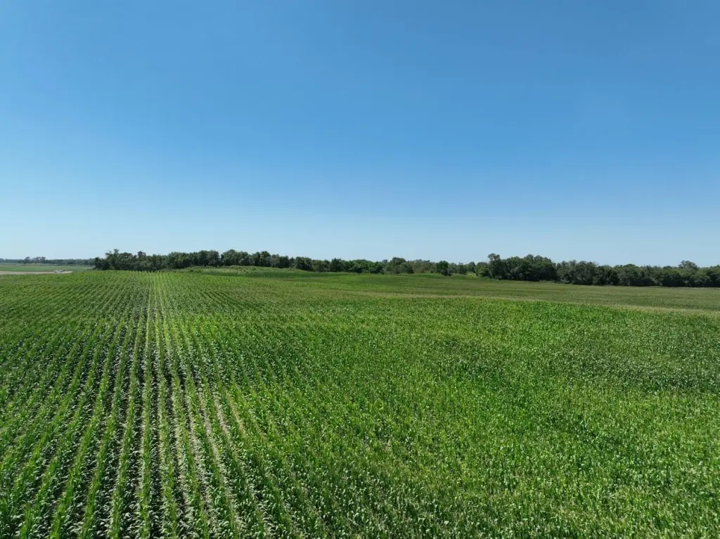
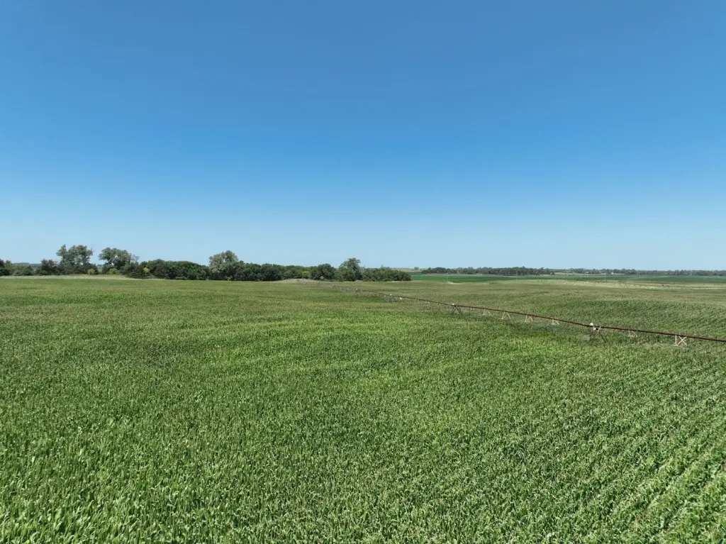
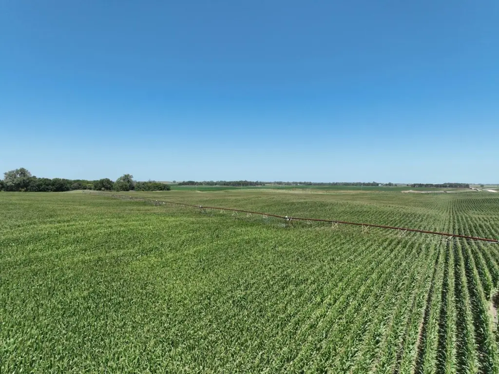
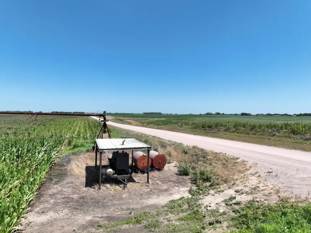
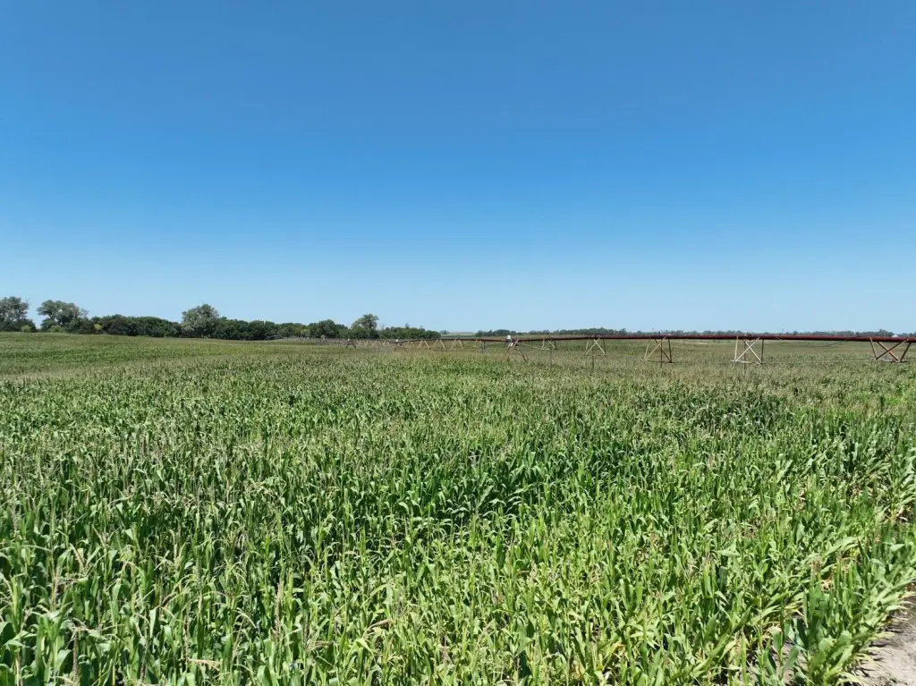
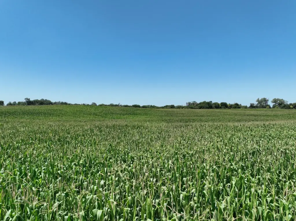
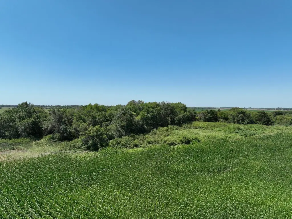
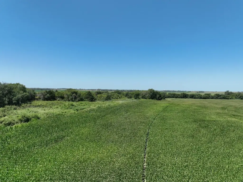
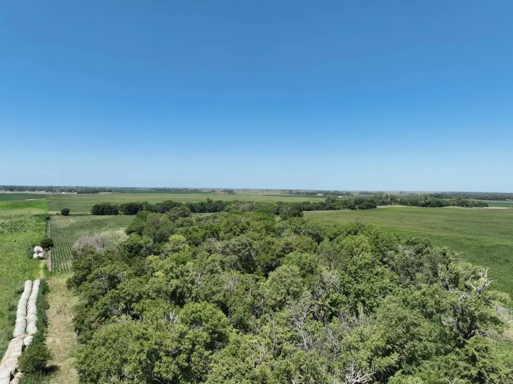
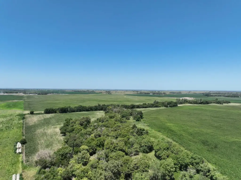
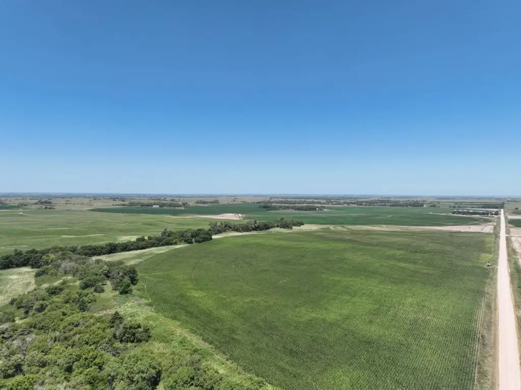
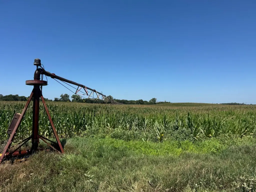
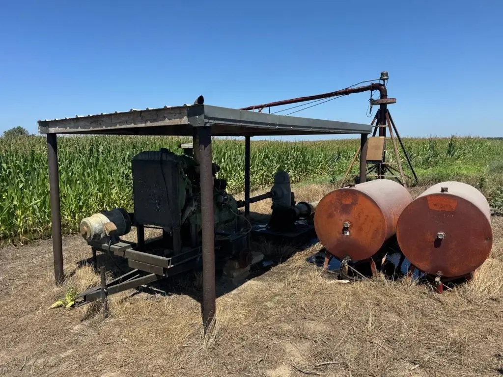
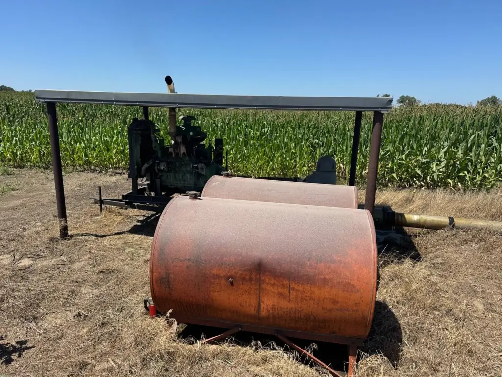
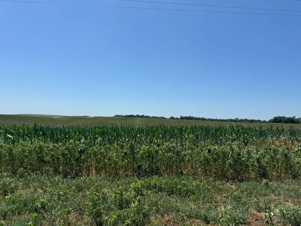
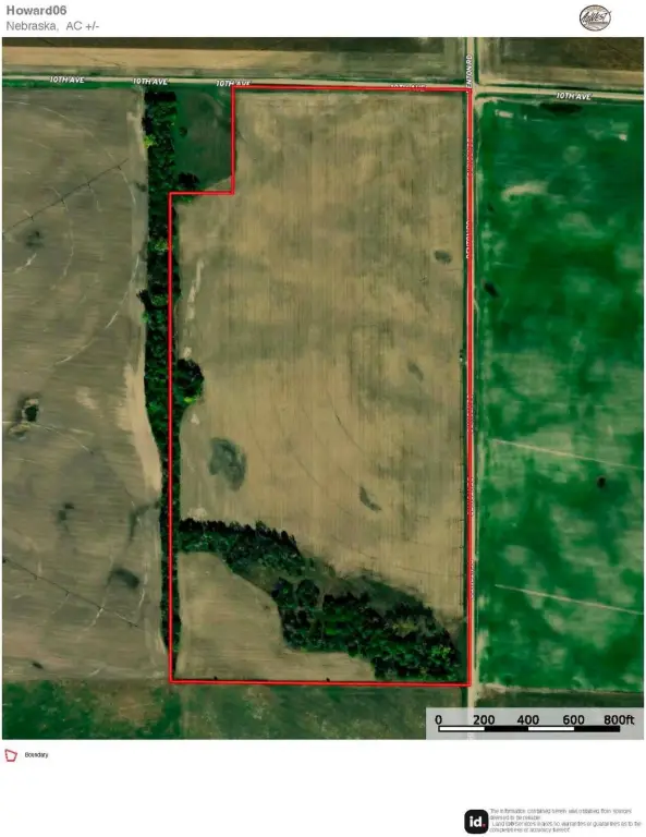
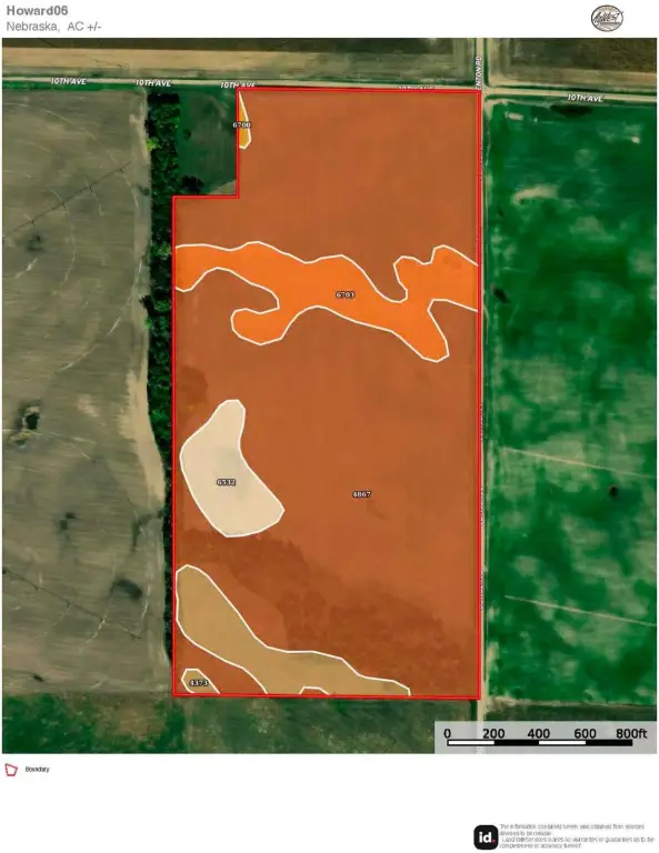
This 77.27+/- acre farm near Saint Paul includes 52.00+/- irrigated acres, 12.00+/- dryland acres, 10.47+/- grassland acres, and 2.80+/- other acres. Irrigation improvements include a pivot, power unit, fuel tanks, and well G-134594, drilled in 2005 with reported capacity of 1,000 GPM. The well has a 44' static level, 58' pumping level, and 151' depth. Wooded portions add wildlife habitat to the agricultural acreage.
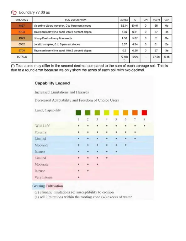
The property is located at 10th Ave and Denton Rd in Howard County and lies within the Lower Loup NRD. Assessor data lists 64.03 total cropland acres, while FSA records show 55.3 total base acres consisting of corn and soybean base acres. The farm is subject to a 2026 cash rent lease and is open for the 2027 crop year. All mineral rights owned by the seller, if any, convey to the buyer.
The property is located at 10th Ave and Denton Rd in Howard County and lies within the Lower Loup NRD. Assessor data lists 64.03 total cropland acres, while FSA records show 55.3 total base acres consisting of corn and soybean base acres. The farm is subject to a 2026 cash rent lease and is open for the 2027 crop year. All mineral rights owned by the seller, if any, convey to the buyer.
Key Highlights
- 77.27+/- total acres with 52.00+/- irrigated acres
- Irrigation well G‑134594 drilled in 2005; 1,000 GPM and 151' well depth
- Pivot irrigation system includes power unit and fuel tanks
Property Analytics
Current Use
Location Intelligence
Demographics for 68873, NE
3,476
Population
1,472
Households
2.4
Avg Household Size
42
Median Age
25%
College-Educated
94%
High-School Grad
171.3 sq mi
ZIP Area
20
Density / Sq Mi
$73,169
Median Household Income
$41,993
Median Earnings
$739
Median Rent
$208,900
Median Home Value

Questions? Ask Rey
Realmo’s AI knows this listing — price, zoning, demand, history. Ask anything.



Frequently Asked Questions
What type of property is this?
Farm - Farm acreage includes pivot irrigation, wooded wildlife habitat, and a combination of cropland, grassland, and other land.
Where is this farm located?
The property is located at 10th Ave and Denton Rd Saint Paul, NE.
What is the asking price?
The asking price for this property is $400,000.
What are key features of this property?
This property features: 77.27+/- total acres with 52.00+/- irrigated acres; Irrigation well G‑134594 drilled in 2005; 1,000 GPM and 151' well depth; Pivot irrigation system includes power unit and fuel tanks



