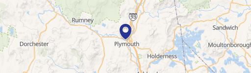
38 Mt Moosilauke Hwy Plymouth, NH 03264
- Commercial real estate
- 5,332 SF
- 14.20 lot acres
Current Use by Public Records
- Commercial real estate
Property Details for 38 Mt Moosilauke Hwy
- Year built
- 1954
- Lot size
- 14.20 lot acres
- Property size
- 5,332 SF
- Property type
- Commercial real estate
Description
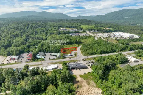
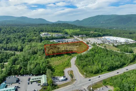
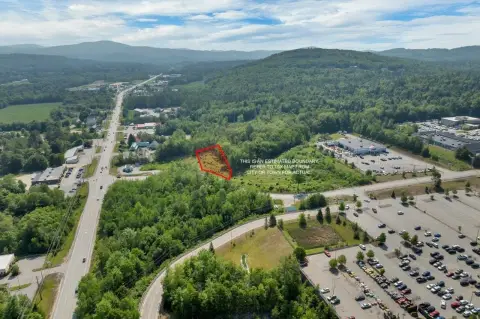
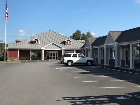
This exceptional 5,332 sq ft restaurant and apartment building, situated on 14.2 acres of land, presents a unique investment opportunity in Plymouth, NH. Boasting 458 feet of highway frontage on Mount Moosilauke Highway (NH Route 25), this property enjoys a highly desirable location near popular attractions such as Rumney Rocks, Polar Caves, Plymouth State University, and Tenney Mountain Ski Area. The vacant building offers significant potential for various uses, including a restaurant, short-term or long-term rental units, or subdivision. The expansive 14.2-acre parcel (with over 10 acres currently in use) includes a pond and direct waterfront access to the Baker River, providing stunning views and recreational possibilities. The main level encompasses 5,332 square feet of restaurant space, while the walkout basement features approximately 4,660 square feet, currently configured as 2-3 apartments requiring some renovation, and ample storage. These apartments offer immediate potential for rental income. Outdoor amenities include large decks overlooking the pond, woodlands, and Baker River, a gazebo, and a spacious lawn area. The property's location, size, and diverse potential uses make it an attractive proposition for a wide range of investors and entrepreneurs. The property extends into Rumney, NH.
Value Estimations
-
AI approach
-
CAP approach
-
Comparable approach
-
Alternative Use
Location Insight
- Map
- Local Demand
- City
- Plymouth
- County
- Grafton
- State
- New Hampshire
- Longitude
- -71.7648
- Latitude
- 43.7725