Lakefront Hunting










For Sale
$703,800
10135 Oakland Drive, Cadet, MO 63630
LAND - Cadet, MO
Property SizeContact for details
Lot Size153.00 Acres
Days on Market48
Property Features for 10135 Oakland Drive
General Information
Property type
Land
Property subtype
Other
Zoning
Farm & Ranch
Lot features
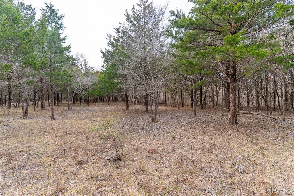
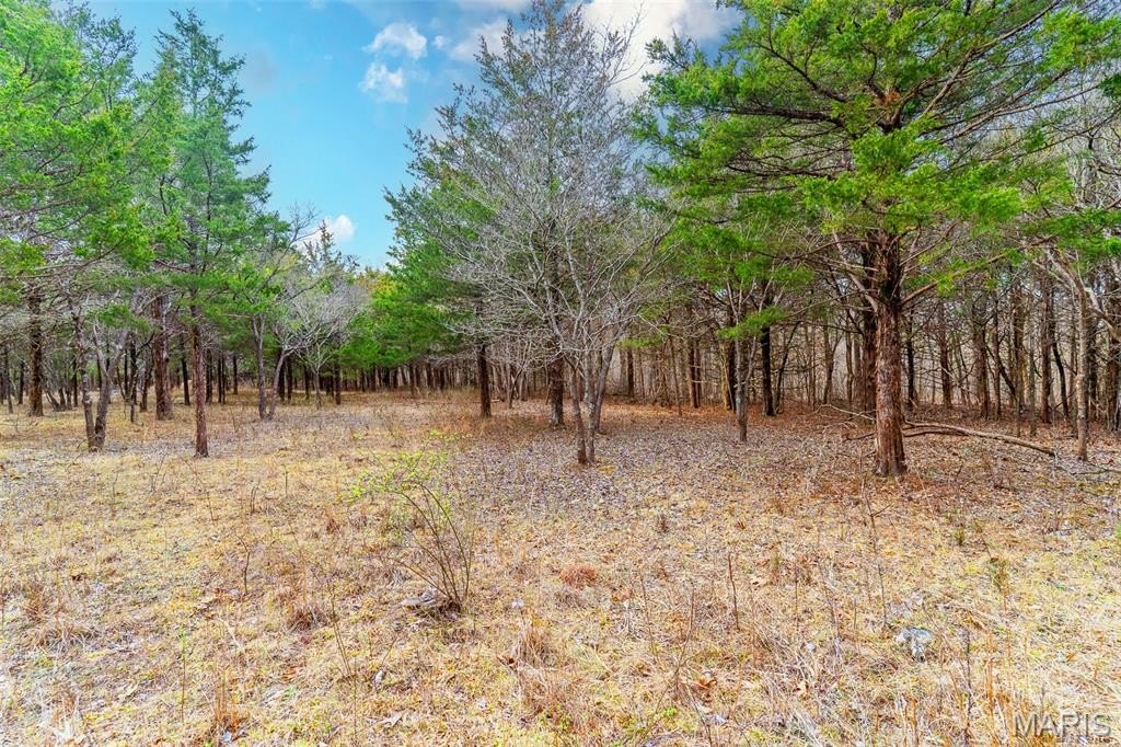
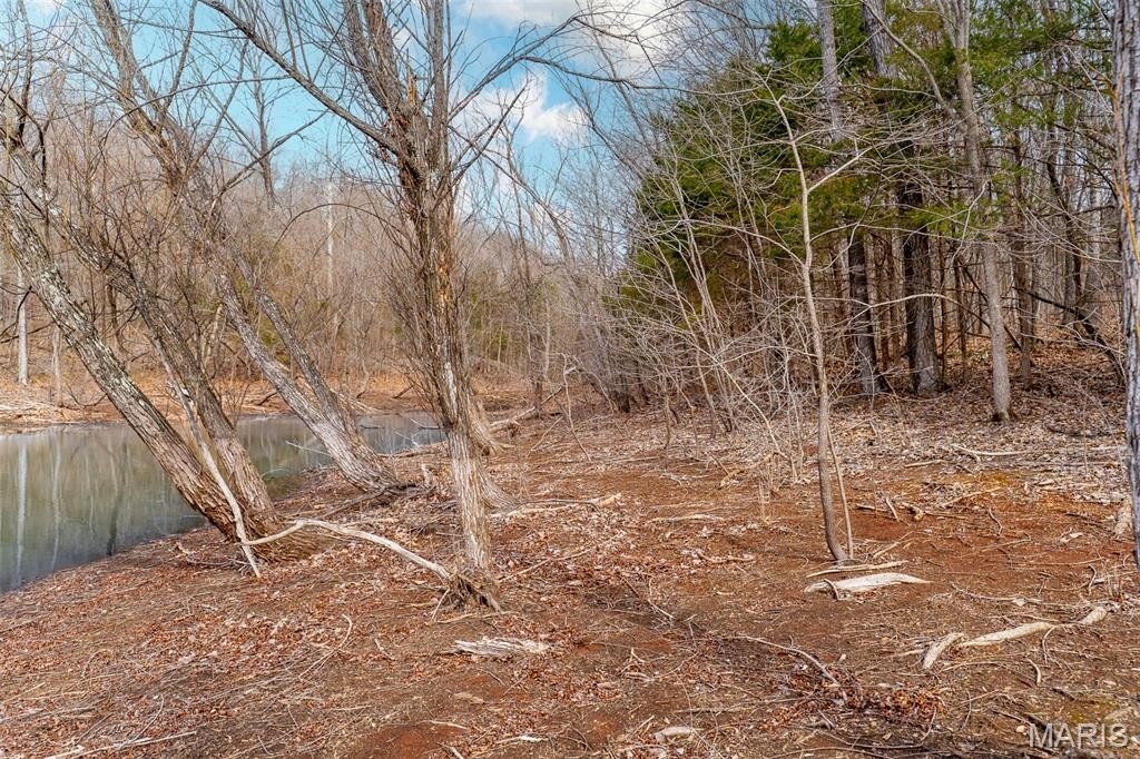
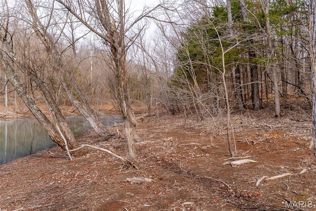
Heavy Woods, Waterfront
Elementary school
Kingston Elem.
Middle school
Kingston Middle
High school
Kingston High
Elementary school district
Kingston K-14
Middle school district
Kingston K-14
High school district
Kingston K-14
Subdivision
380 - Kingston K-14 (Wash)
Standard status
Active
APN
11-1.0-011-000-000-022.00000
Lot size
153.00 Acres
Taxes and HOA fees
Tax Year
2025
Tax Annual Amount
139
Utilities
Water front features
Lake
Water front
1
Listing Agency:
Premier Farm Realty Group LLC
(636) 387-8317
Listed By:
Jordan Thompson · License #2024007717
(636) 387-8317
Added: Jul 9
Changed: Aug 2
Last Checked: Aug 25 at 6:06AM
MLS# 26015265
Copyright © 2026 Mid America Regional Information Systems, Inc. All rights reserved. All information provided by the listing agent/broker is deemed reliable but is not guaranteed and should be independently verified.
Investment Insights
Based on property information with market context.
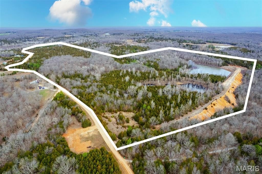
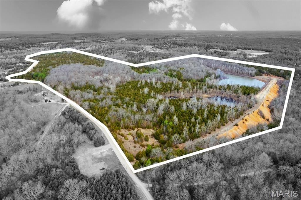
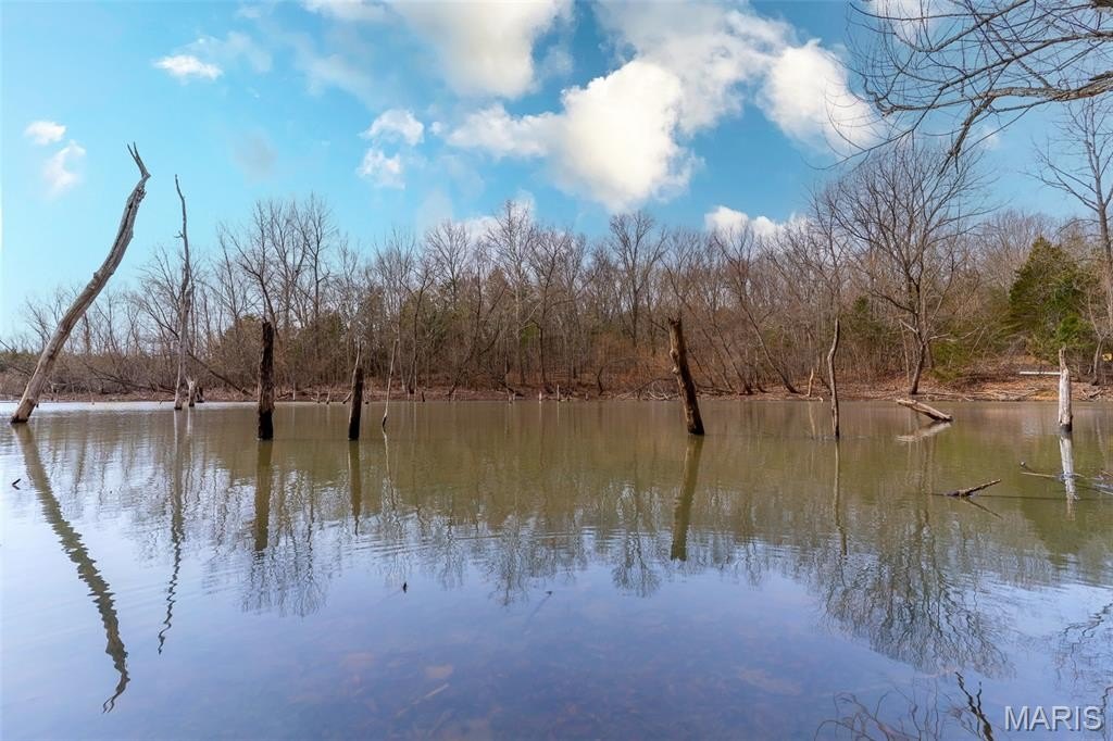
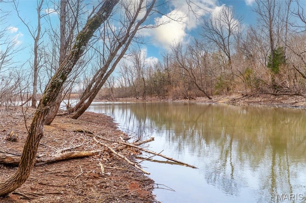
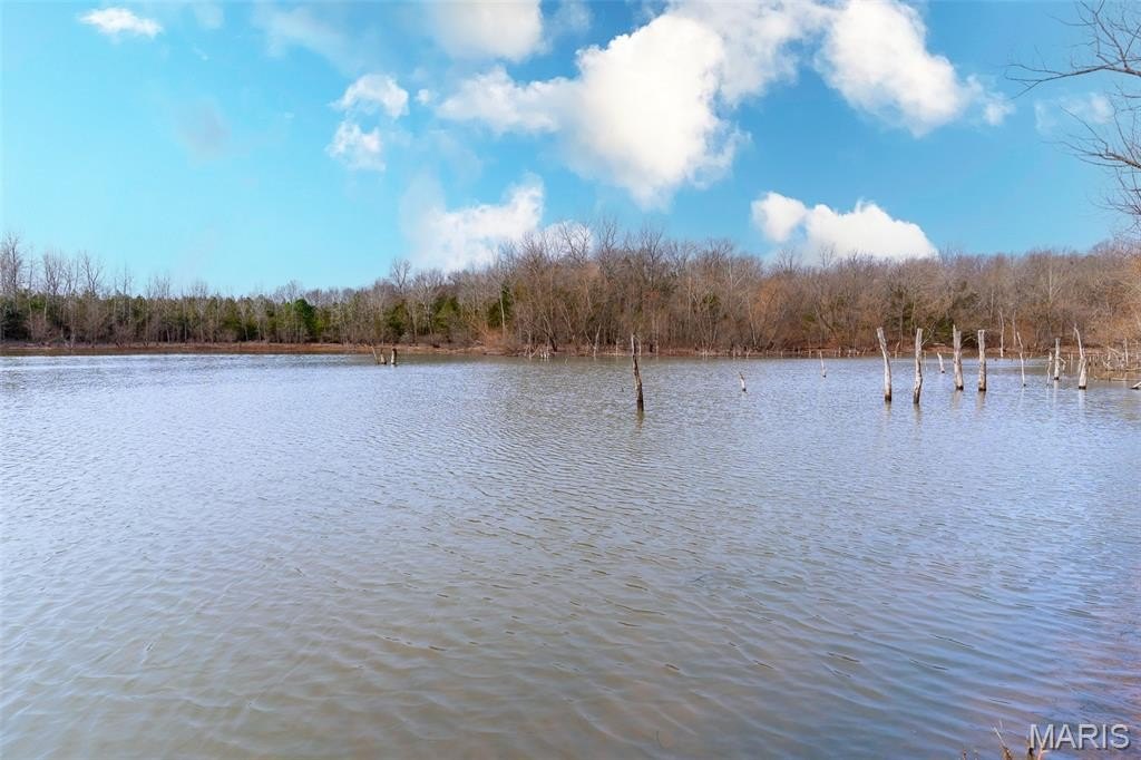
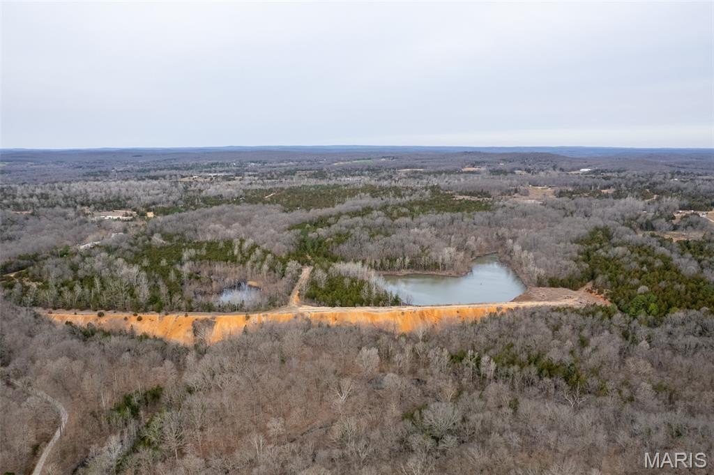
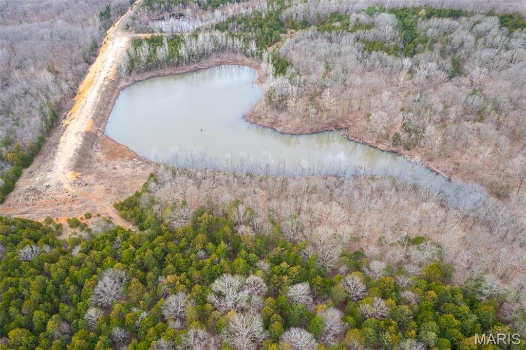
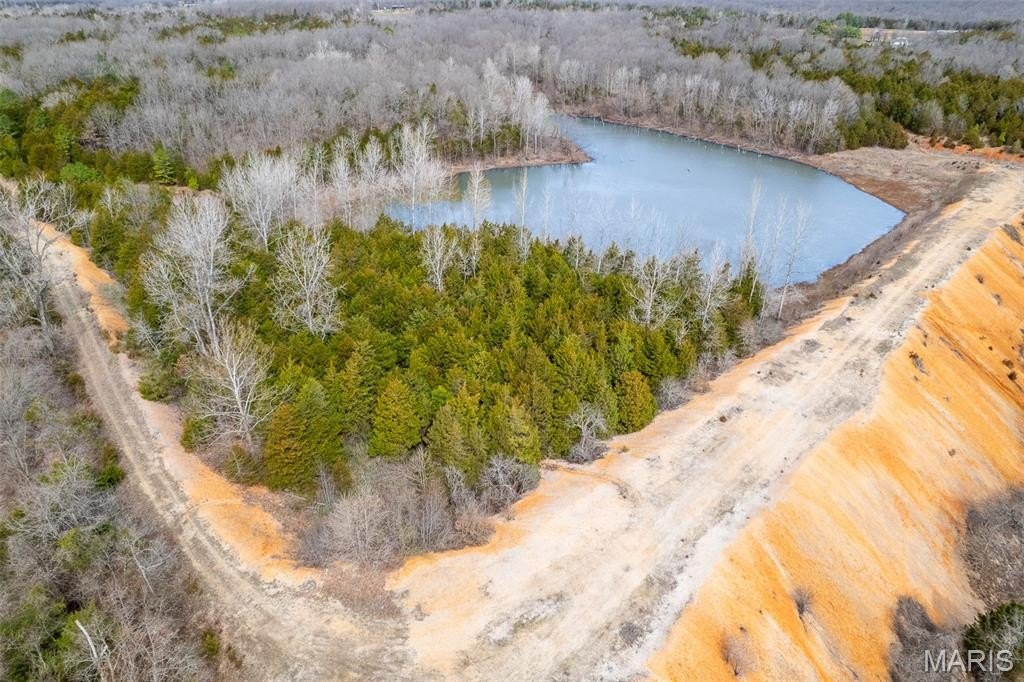
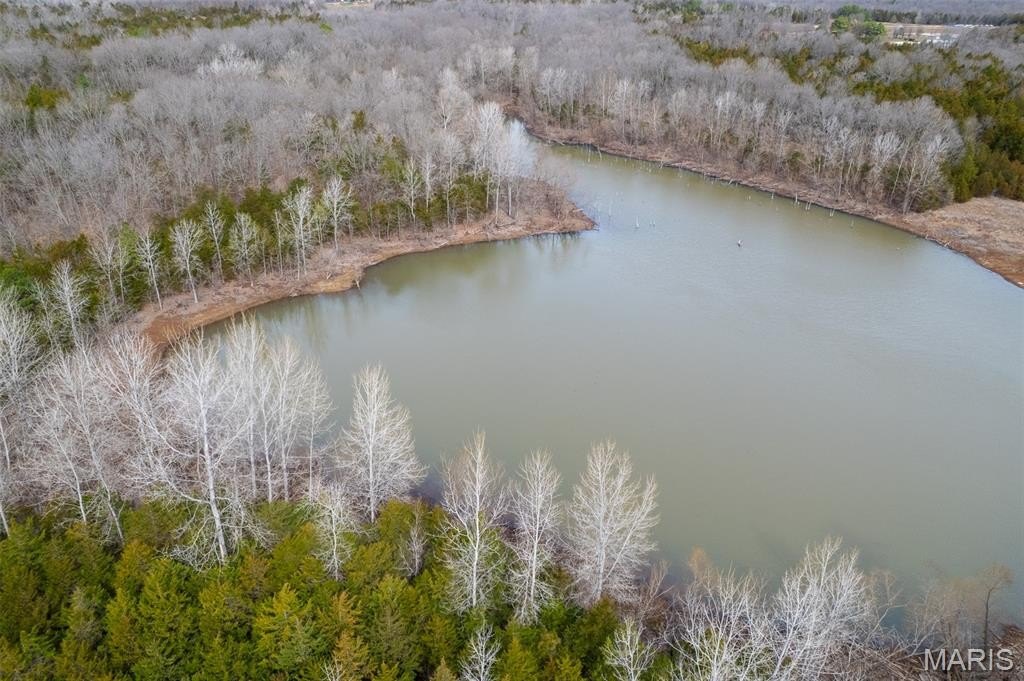
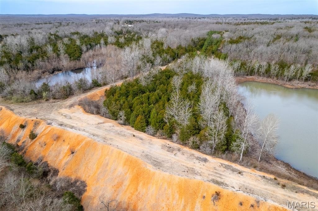
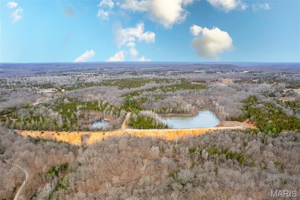
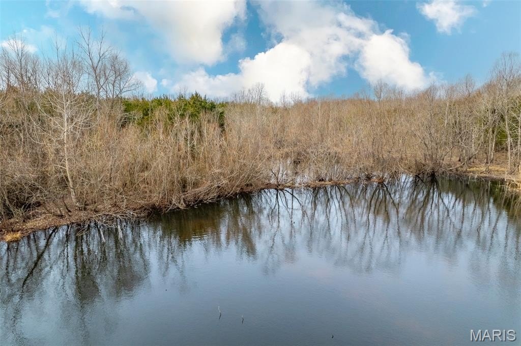
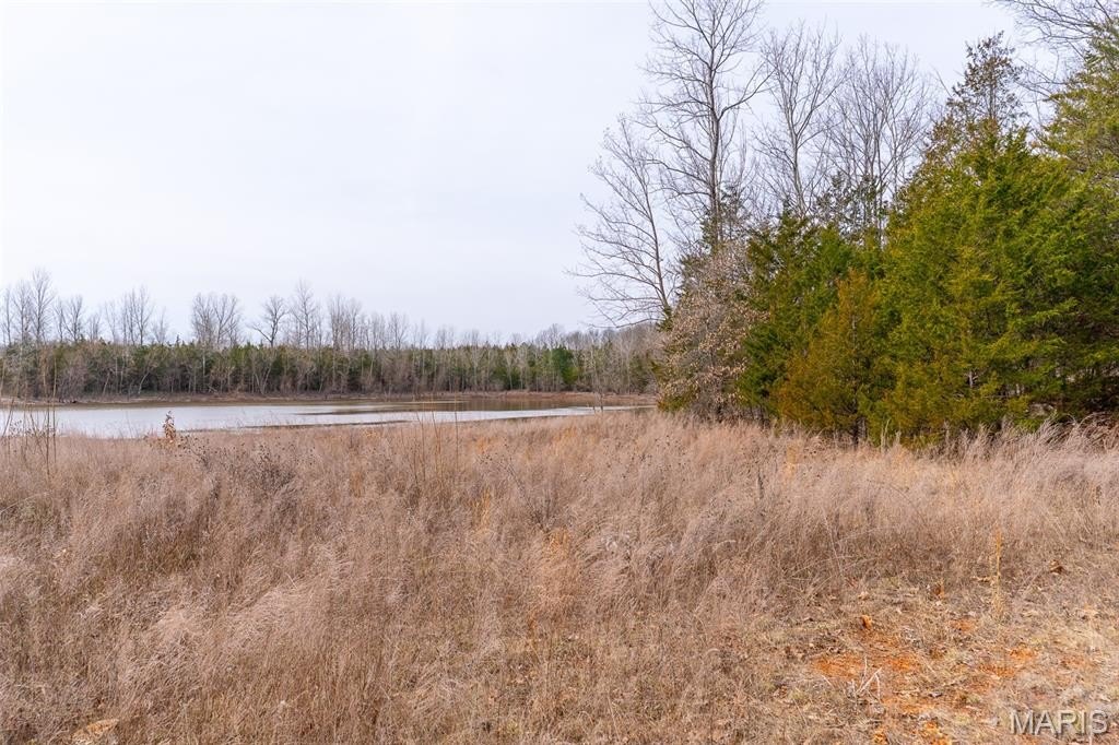
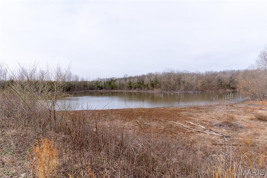
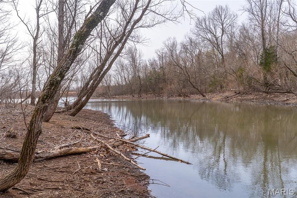
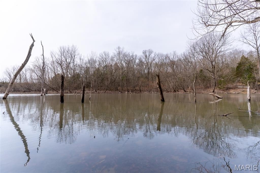
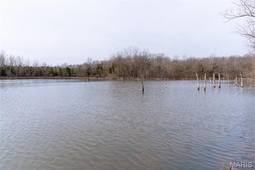
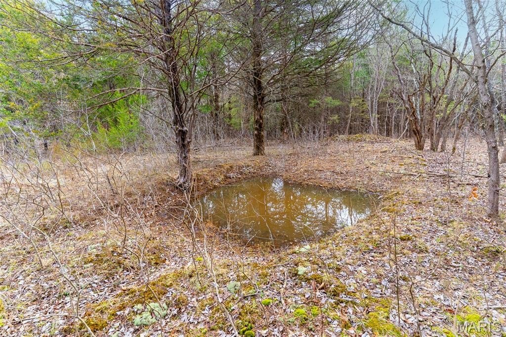
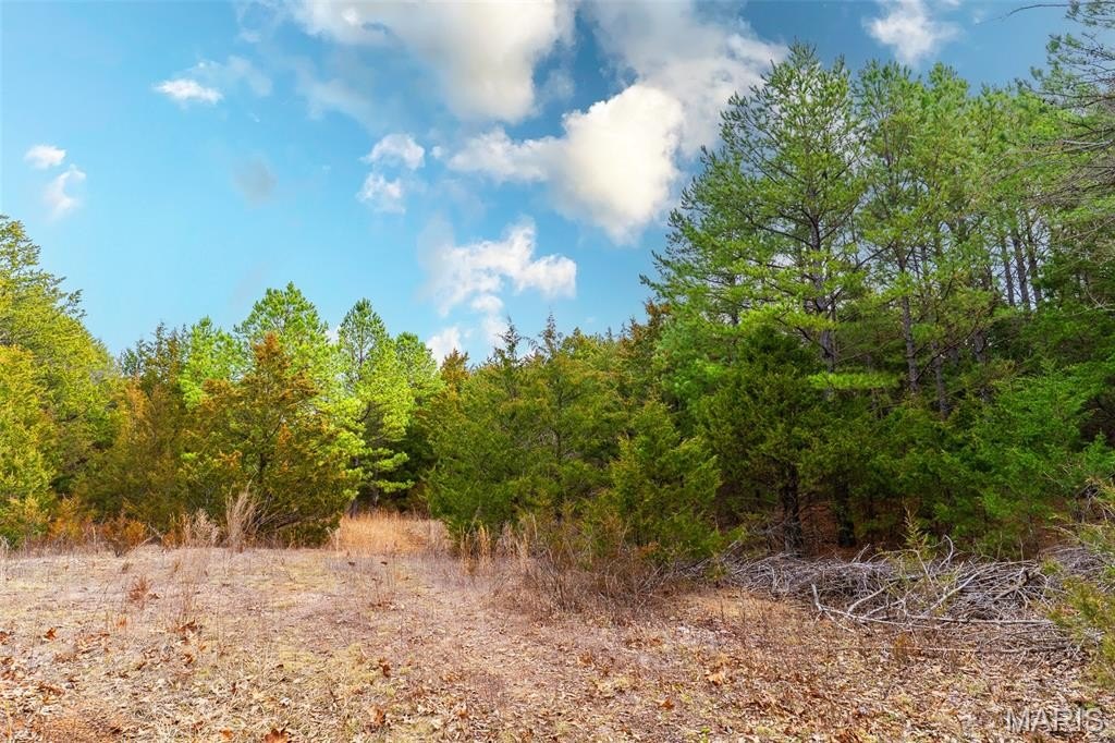
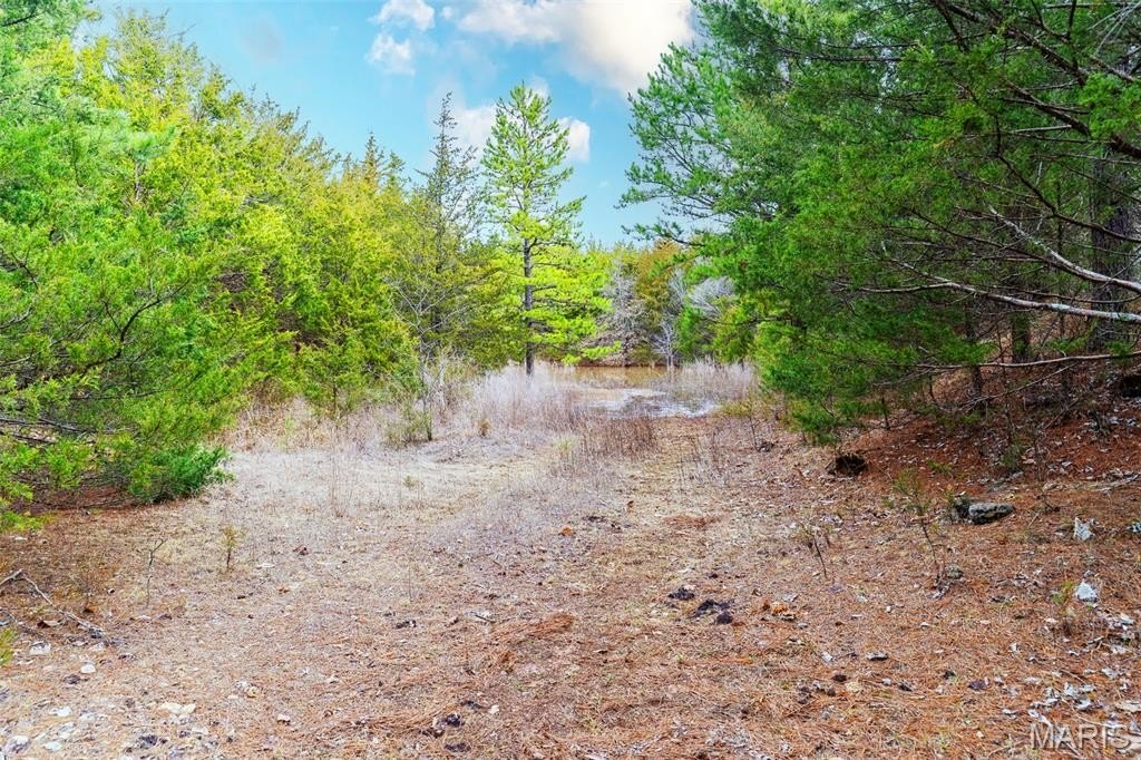
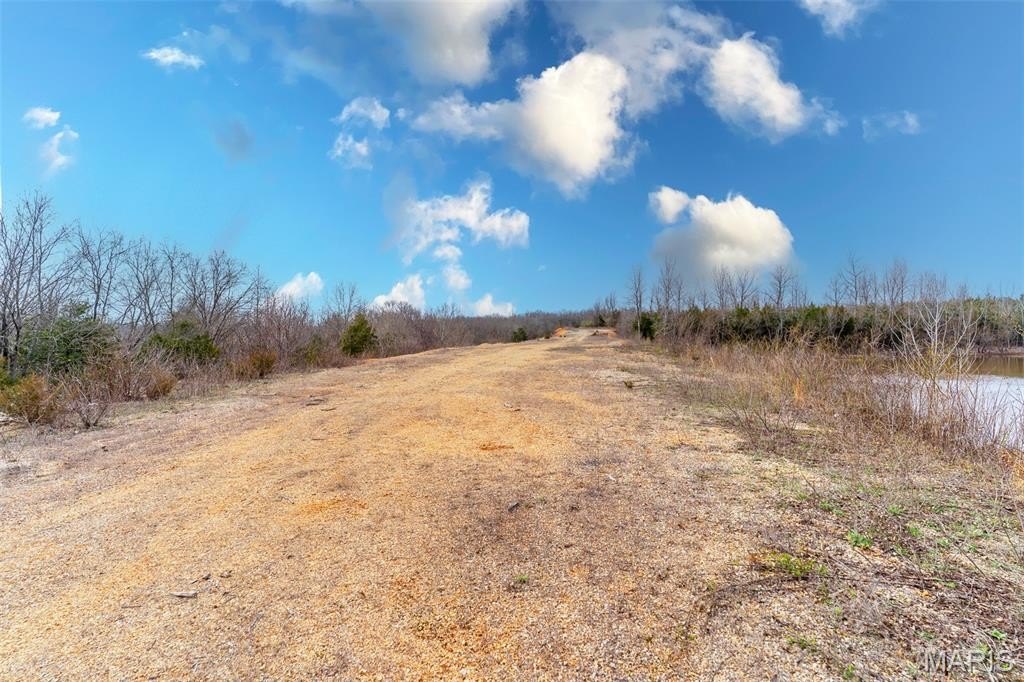
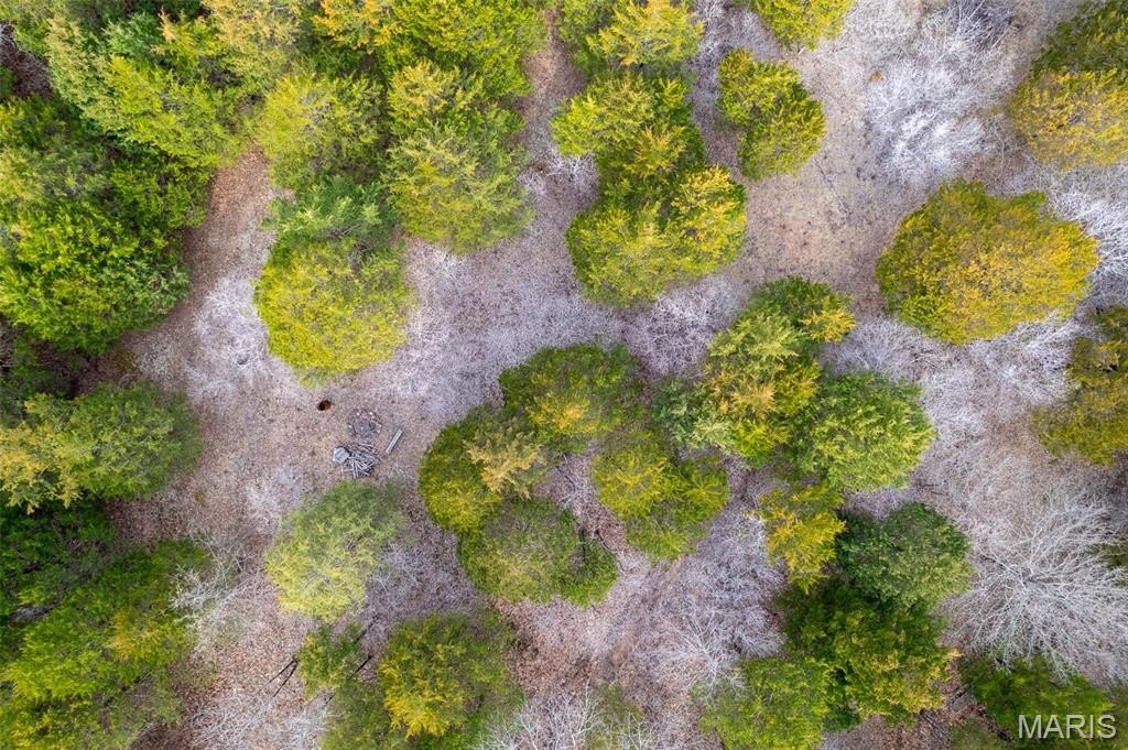
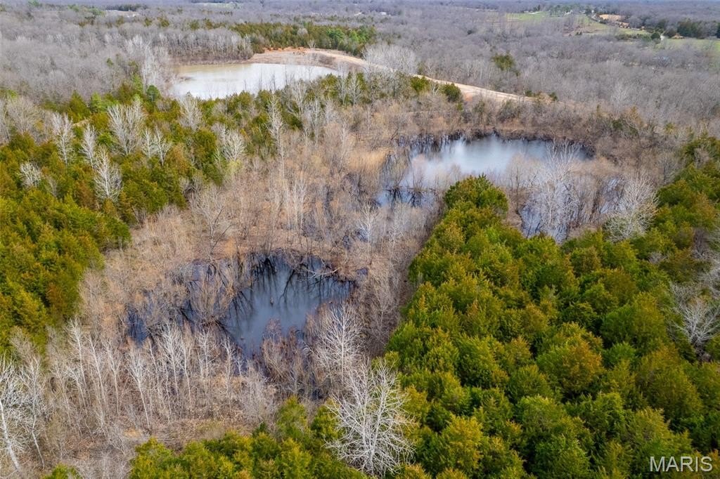
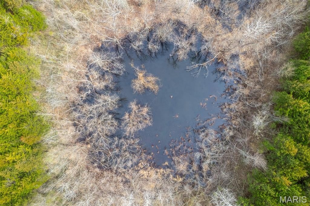
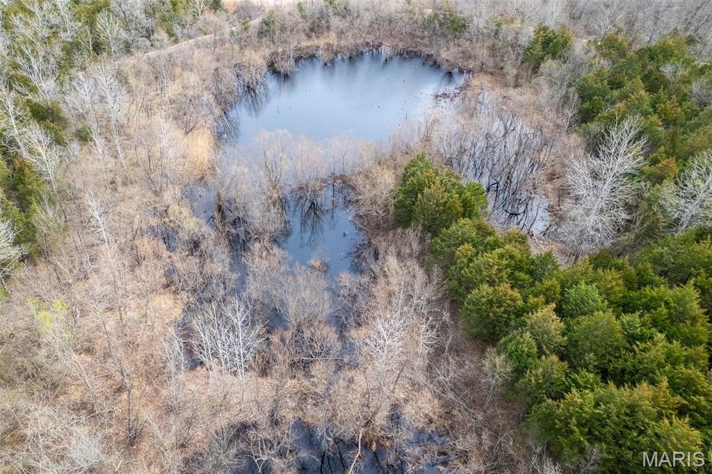
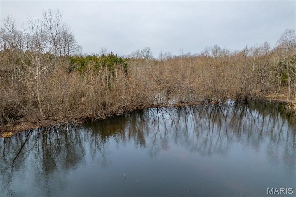
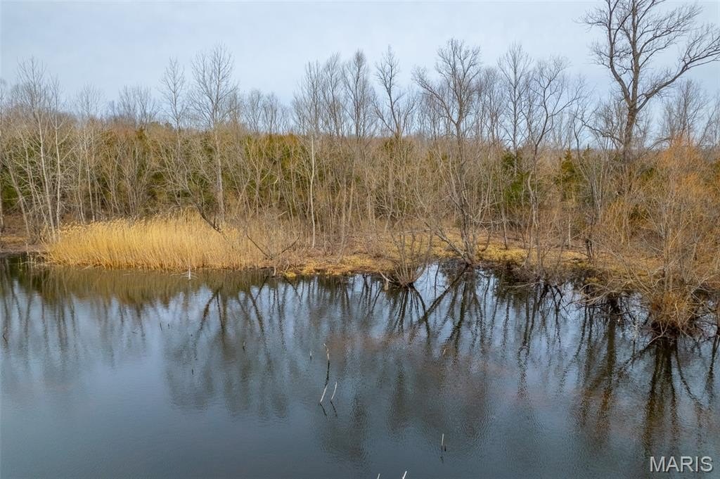
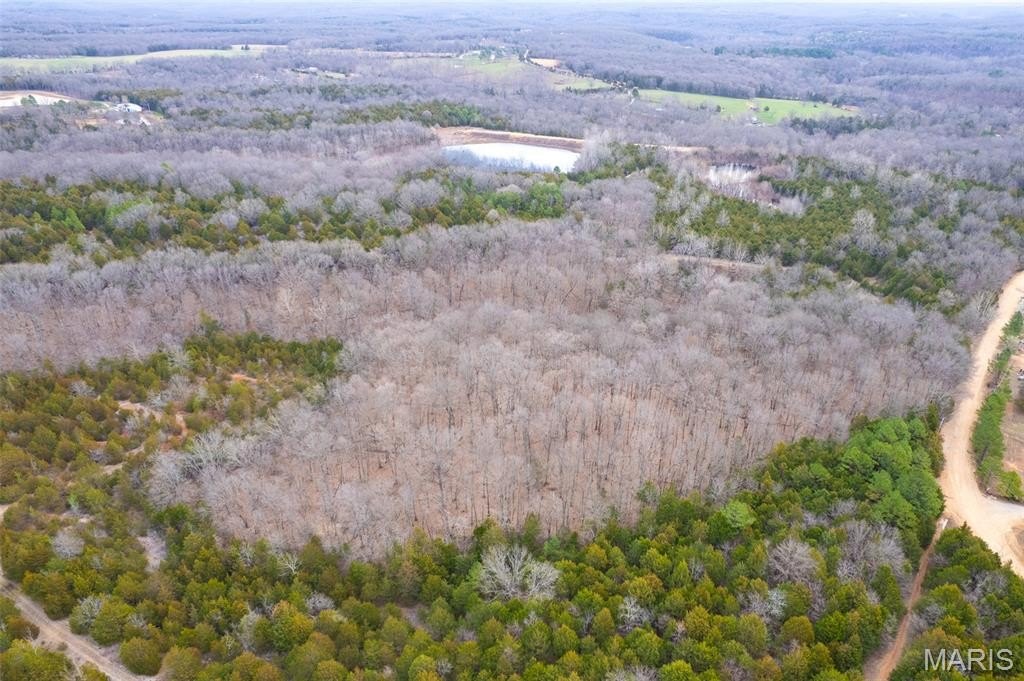
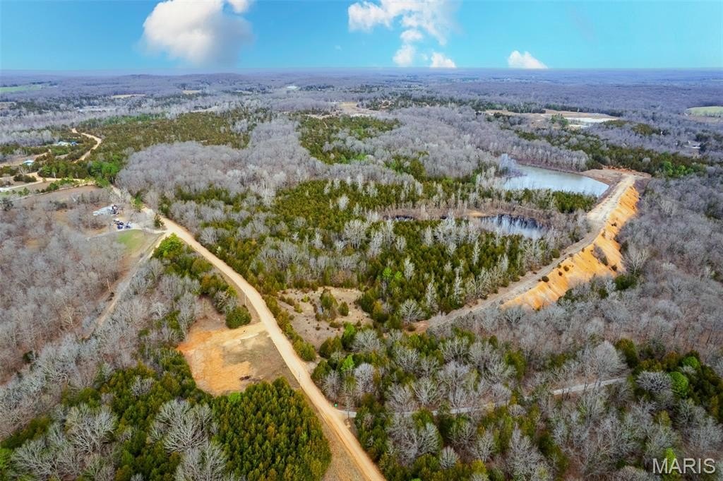
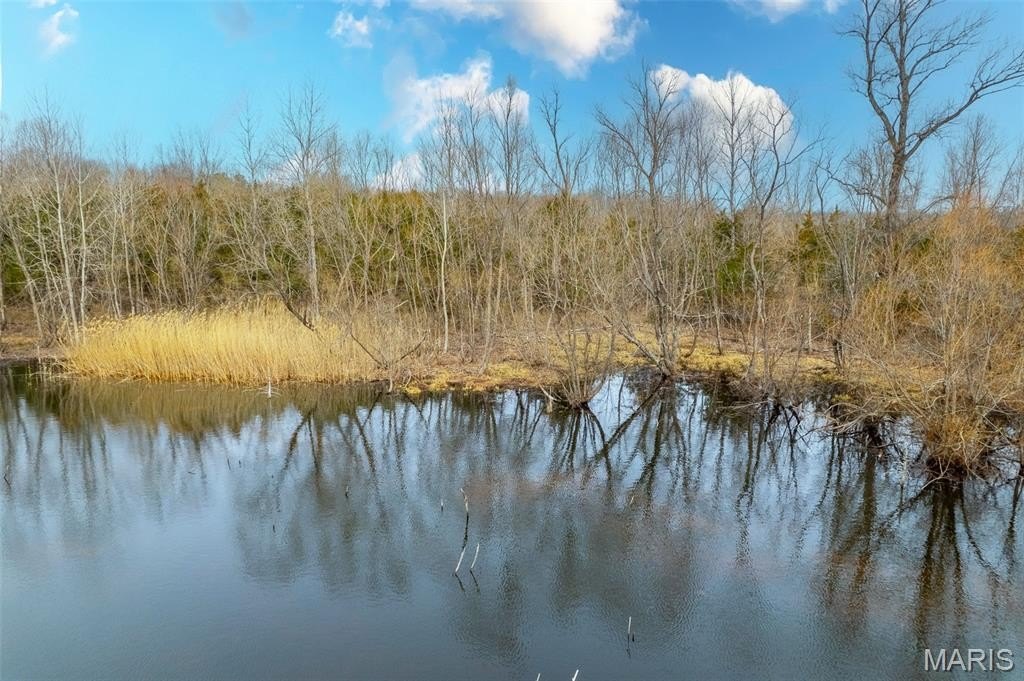
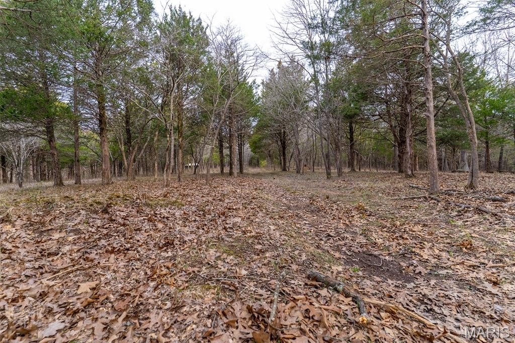
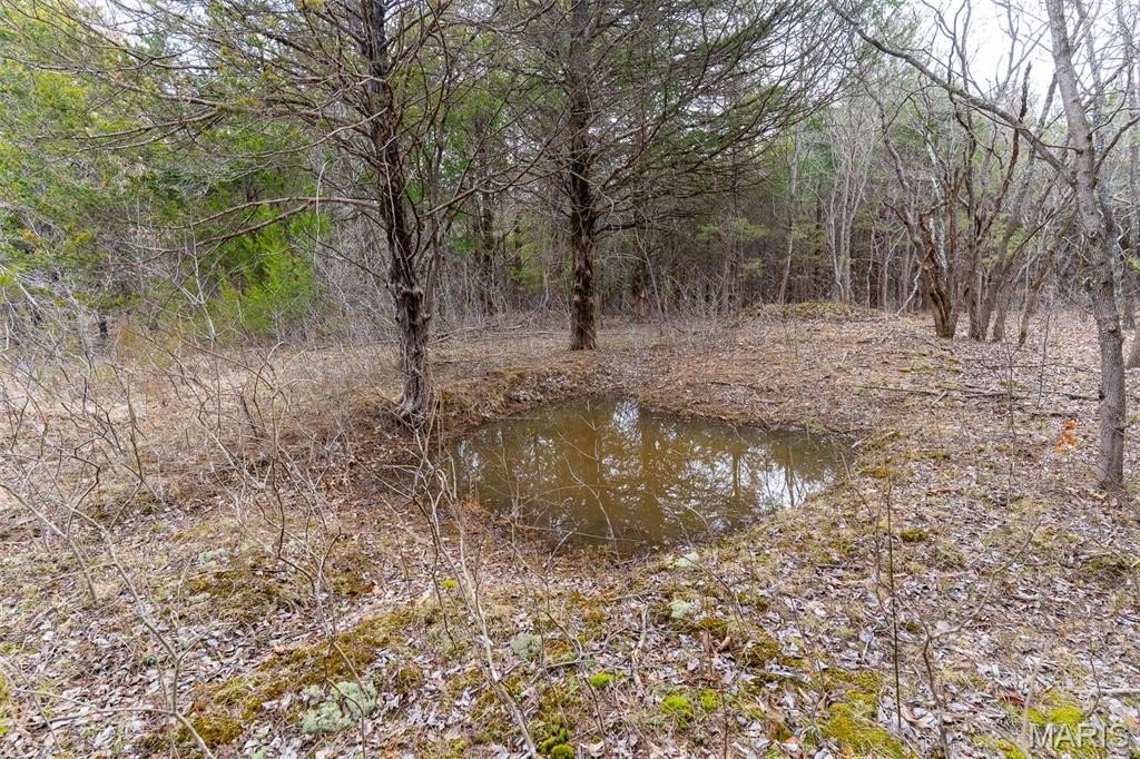
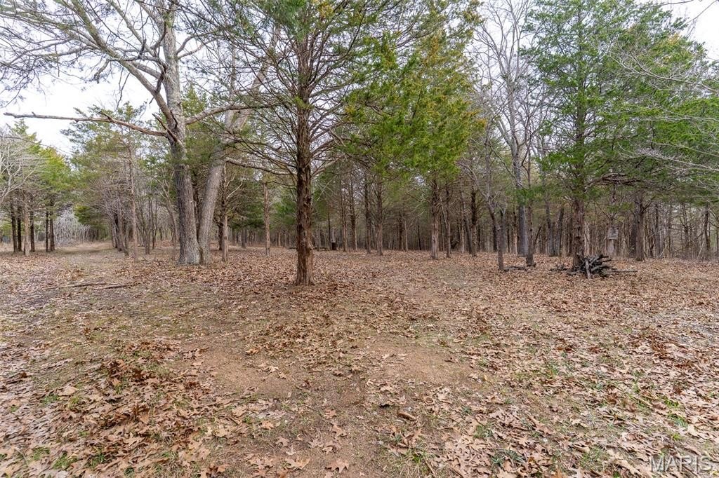
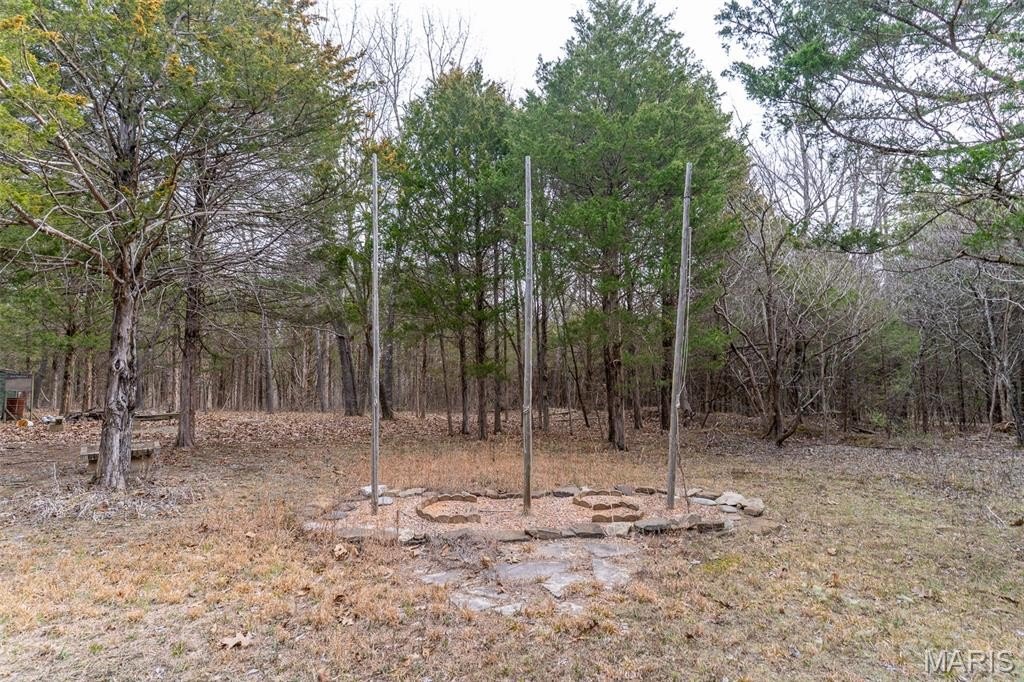
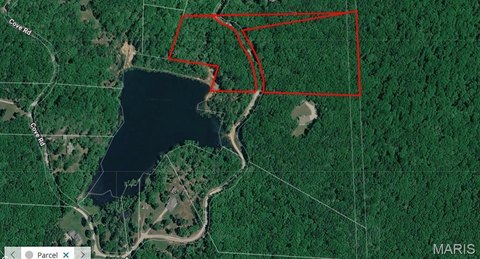
Lakefront hunting land in Washington County offering a mix of privacy, recreation, and future building potential. The centerpiece is a lake with several scenic build sites, supported by a small pond on the south end and a campground area in the center of the property.
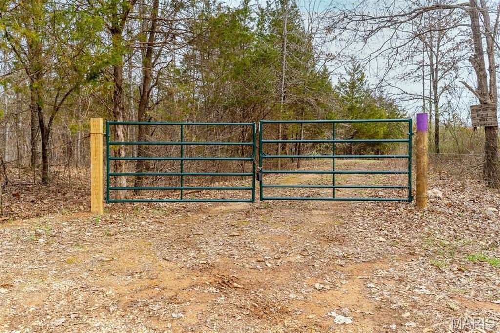
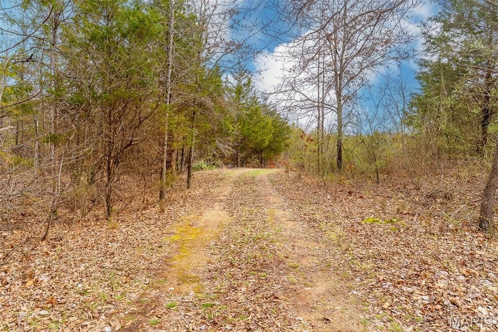
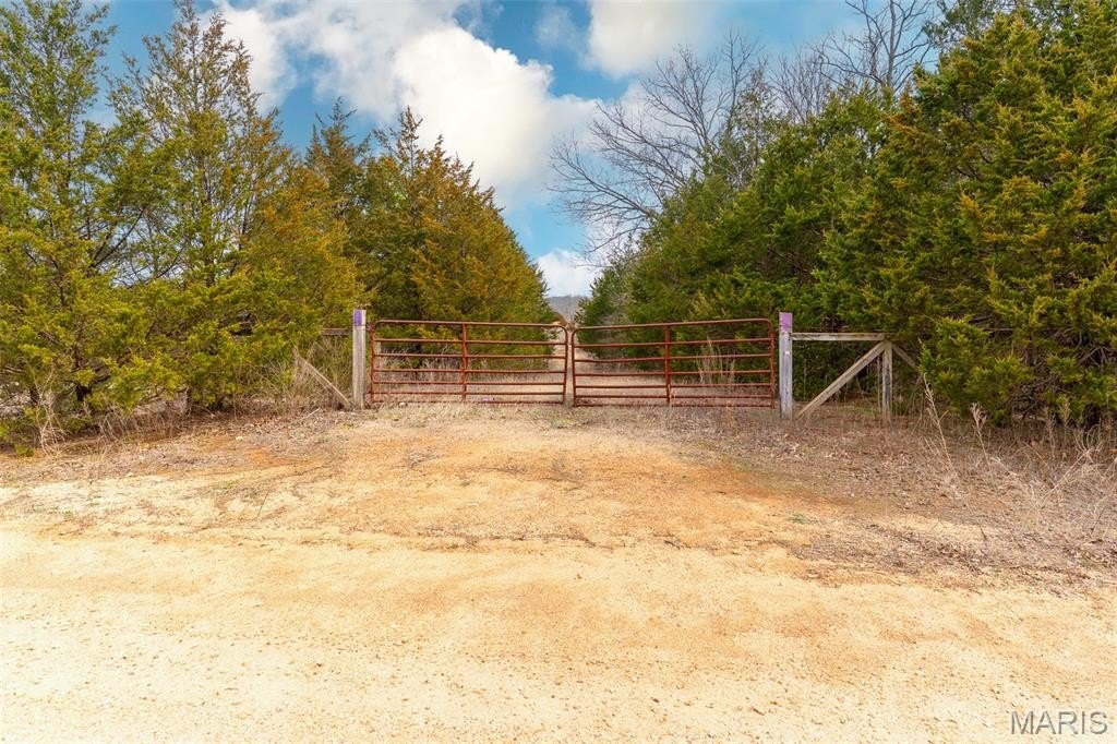
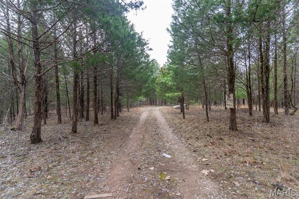
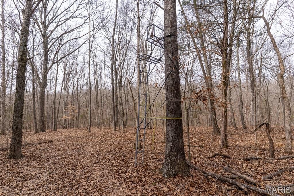
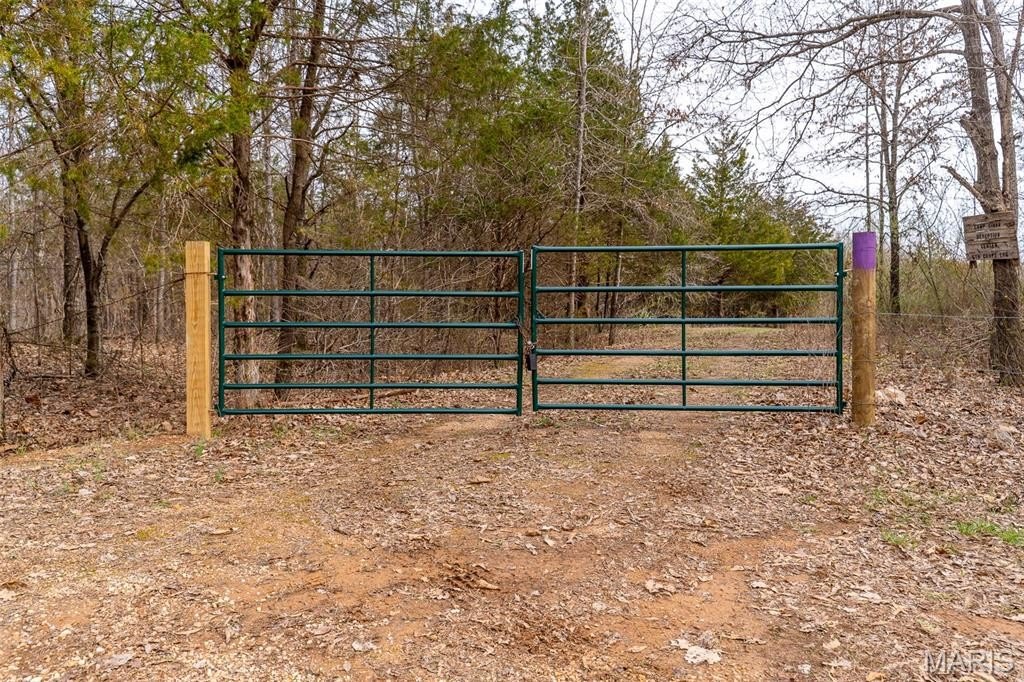
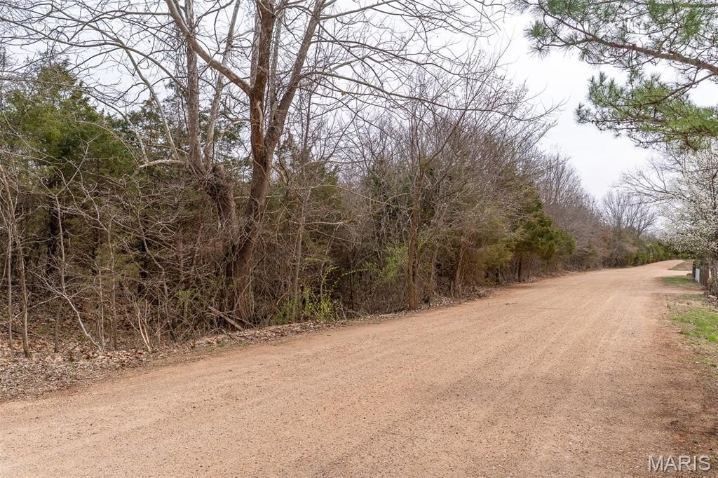
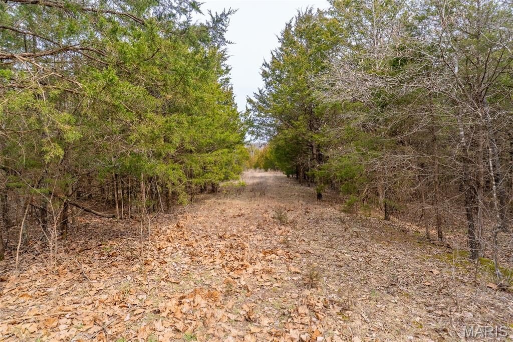
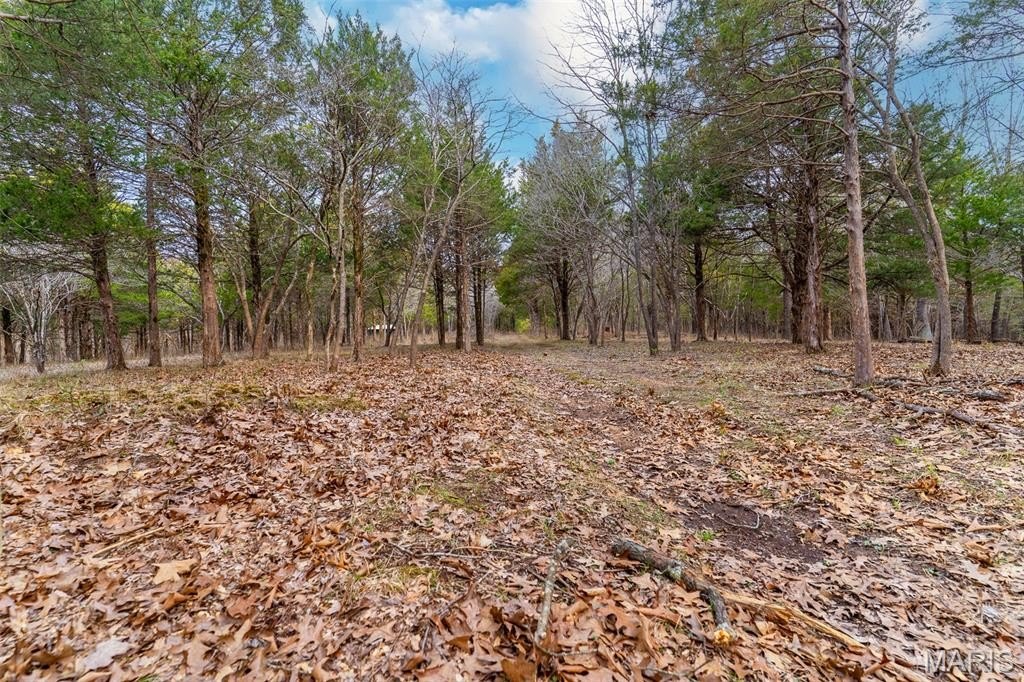
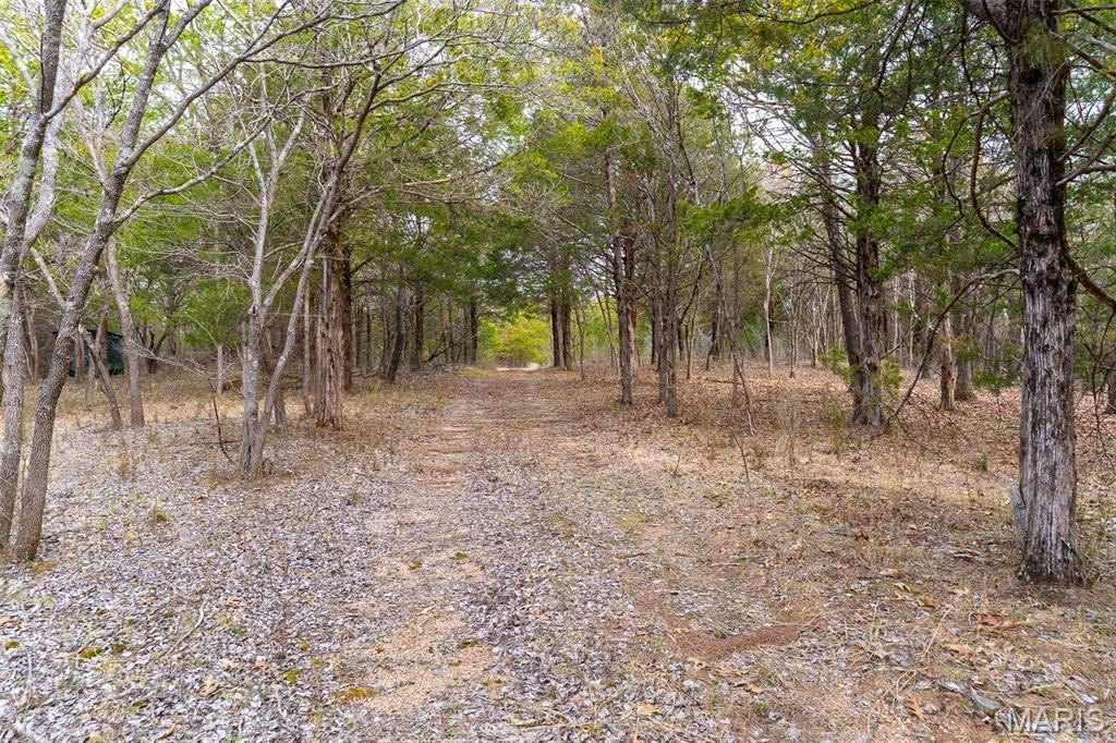
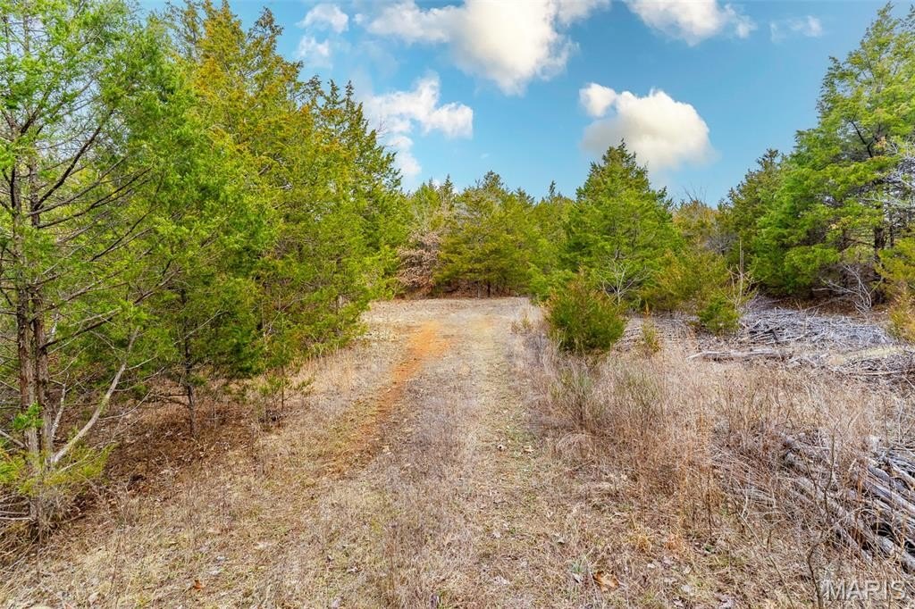
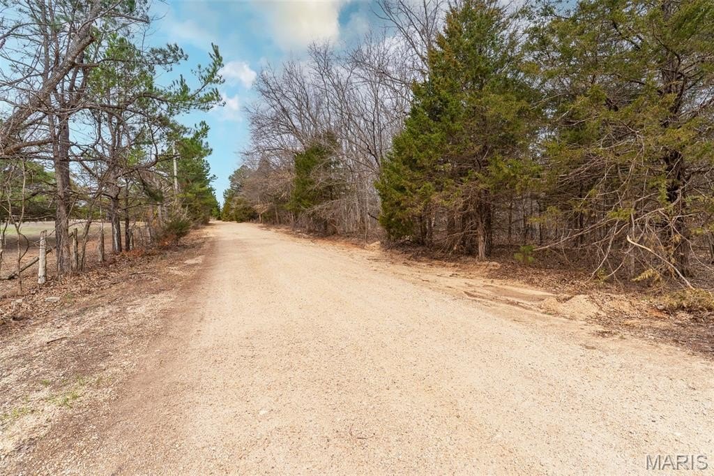
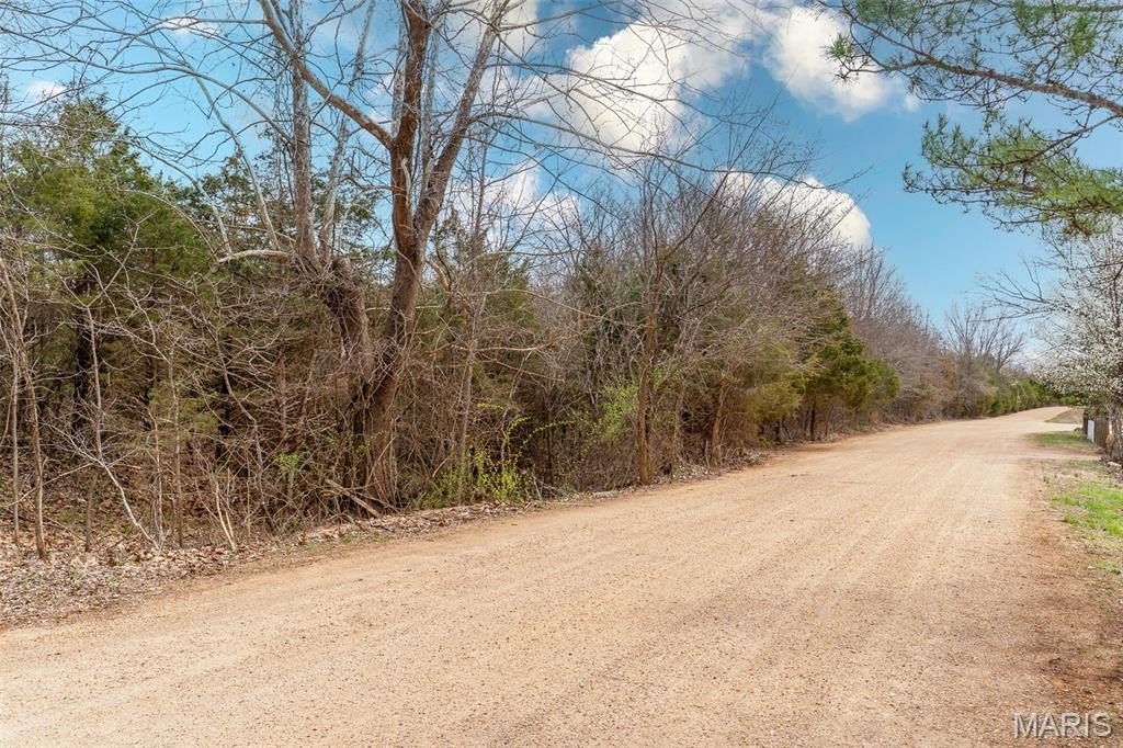
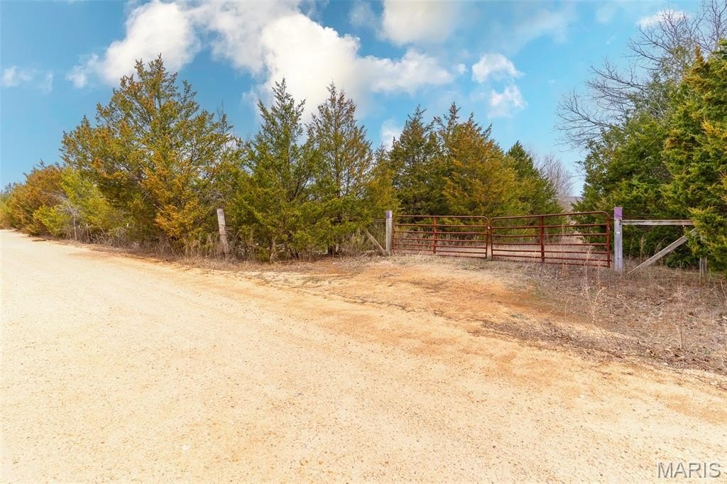
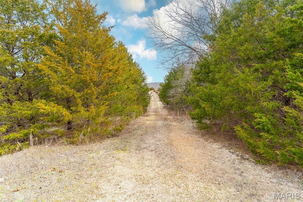
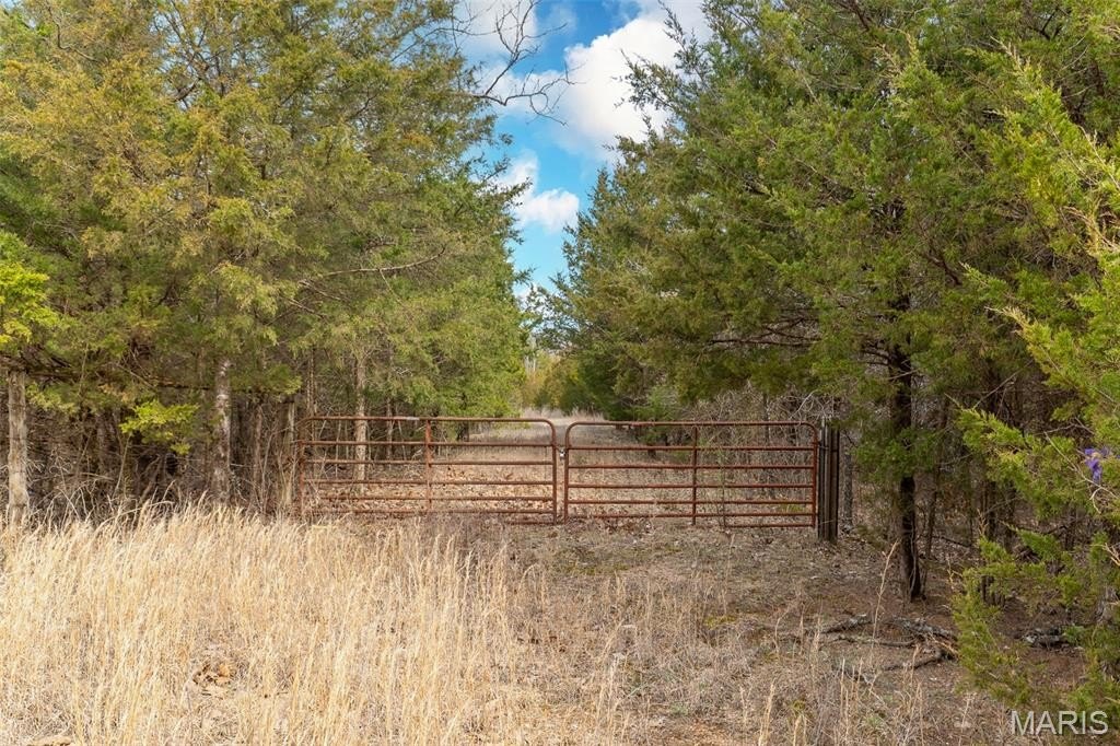
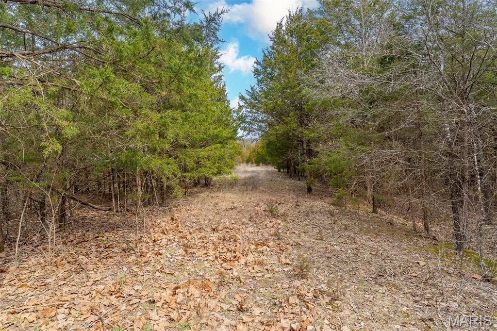
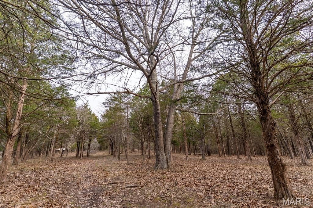
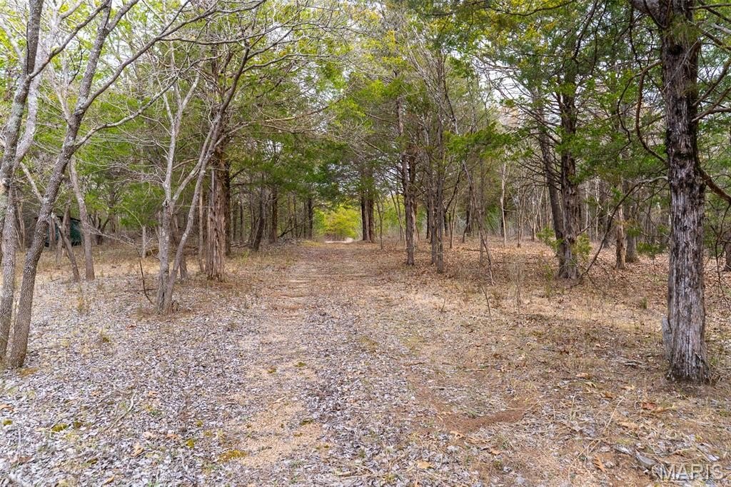
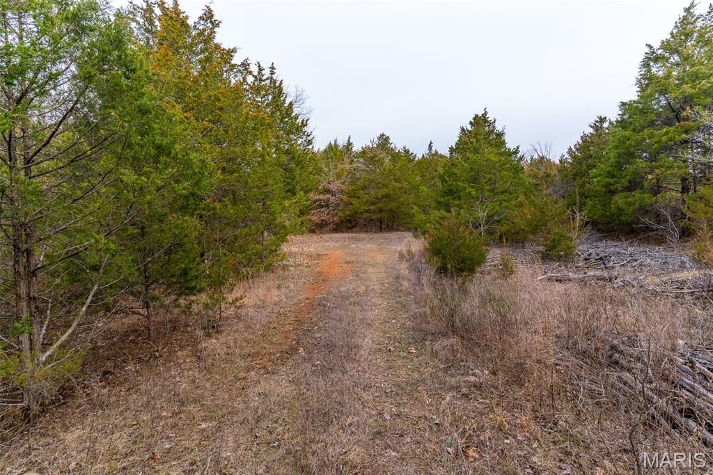
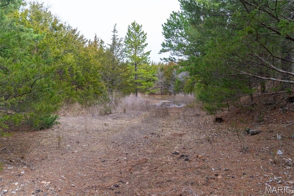
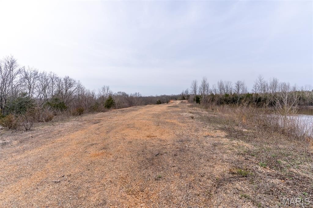
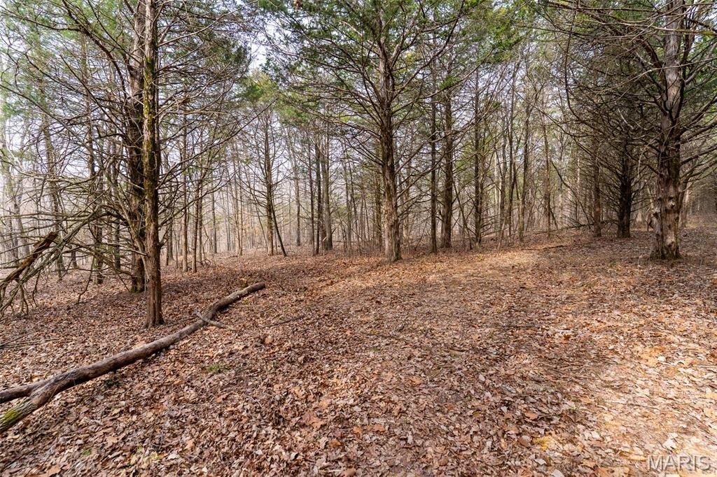
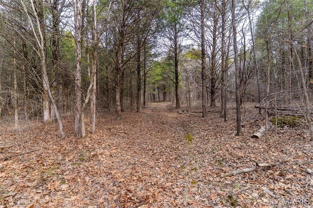
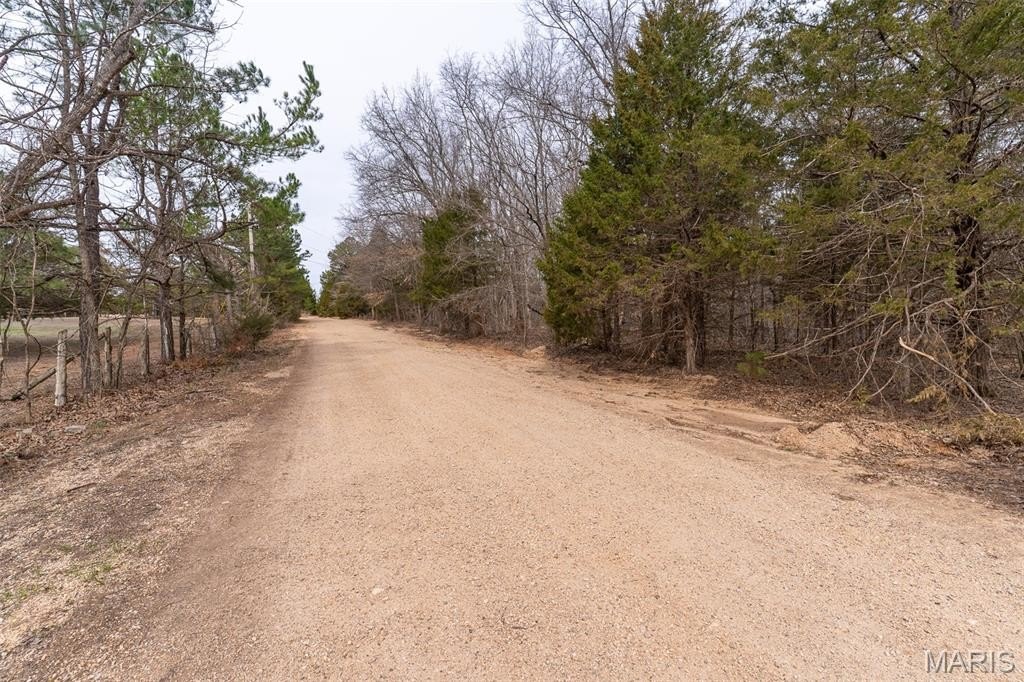
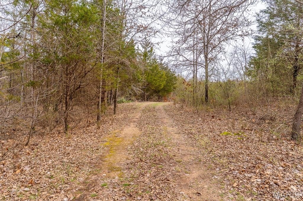
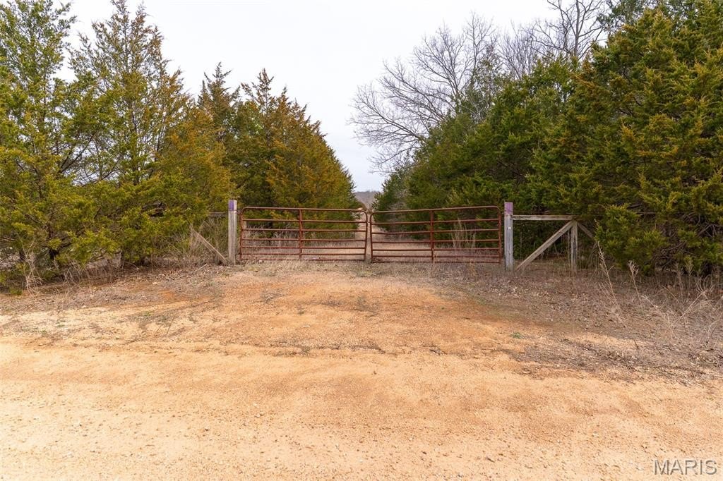
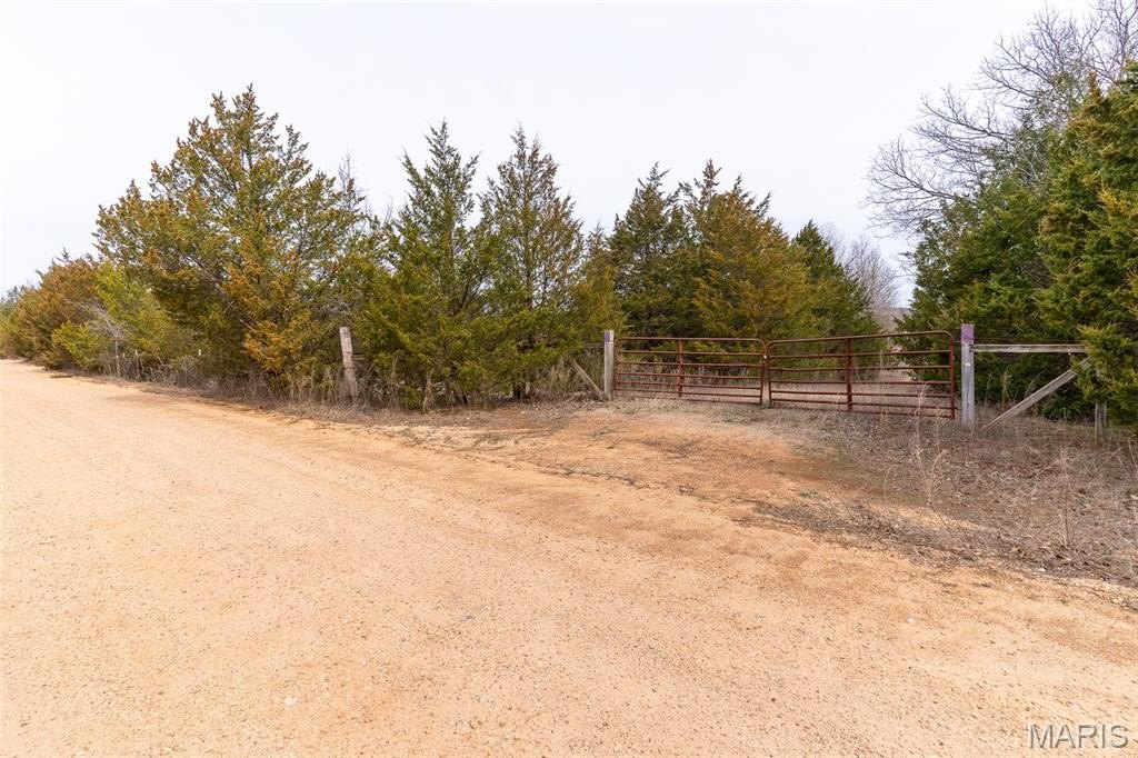
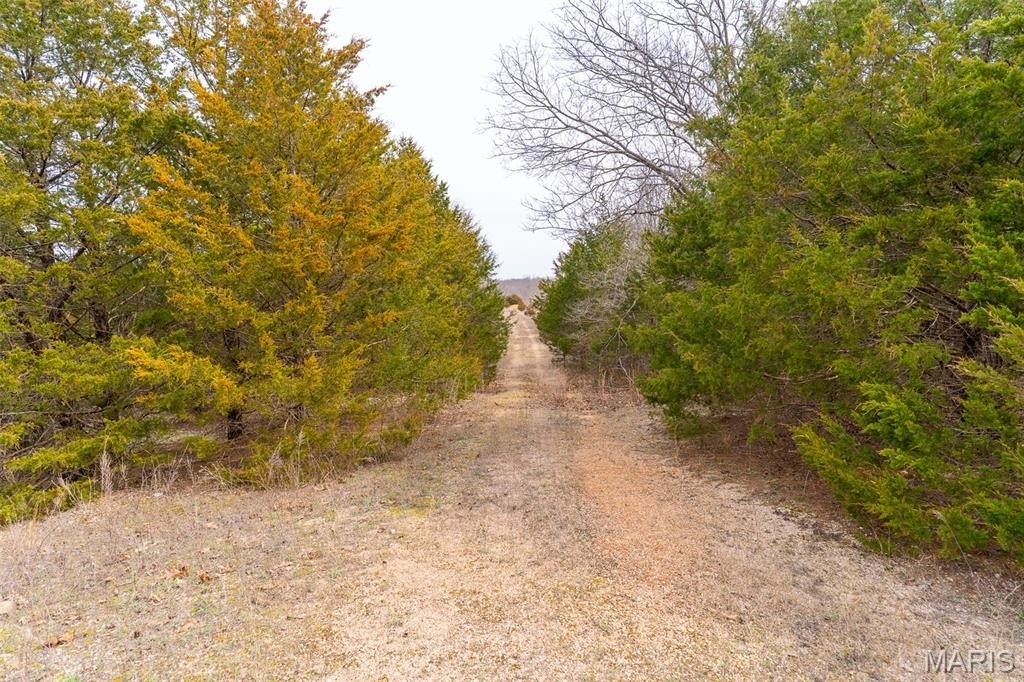
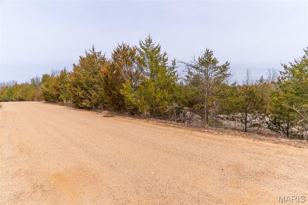
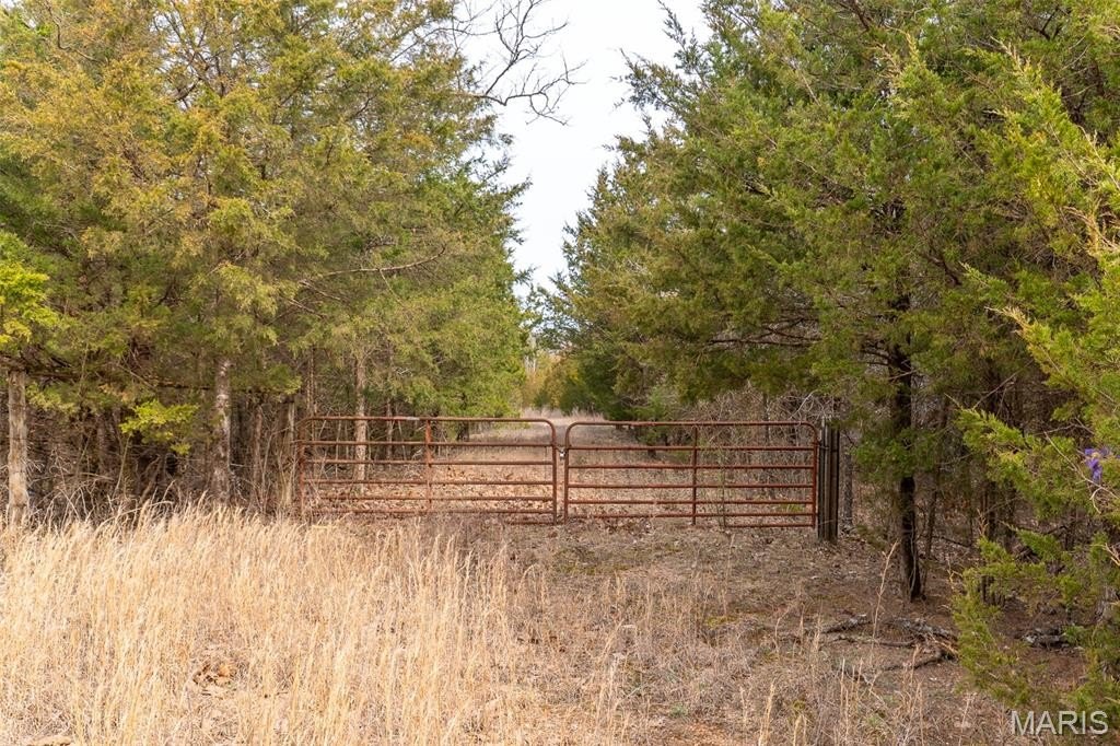
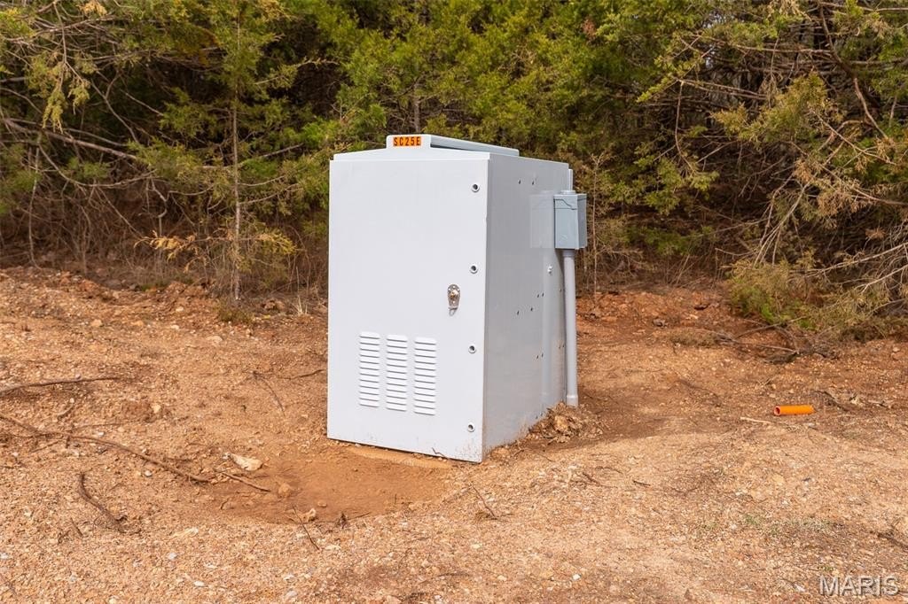
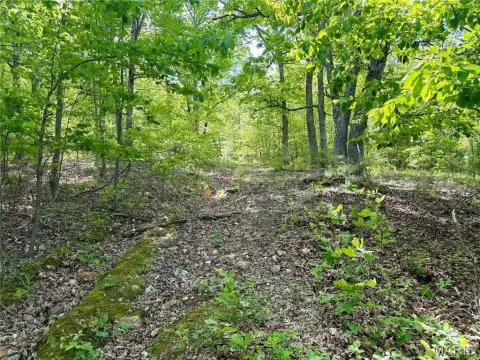
Access is one of the property’s strongest features, with just under a mile of road frontage and three gated entrances. An established trail system is in place to support quick access to the camp site, lake, and preferred tree stand locations.
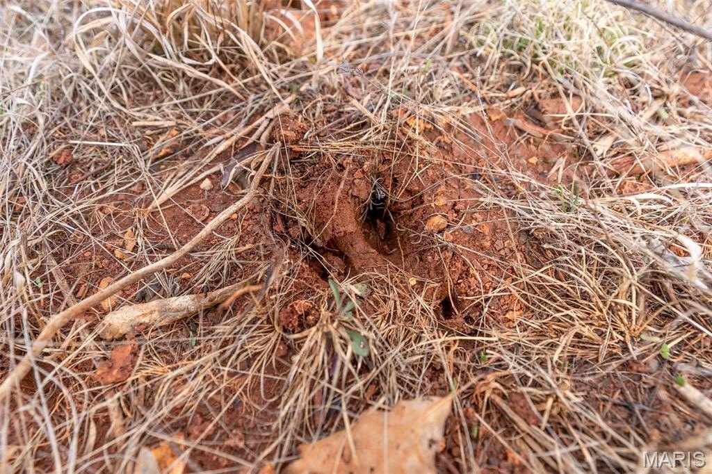
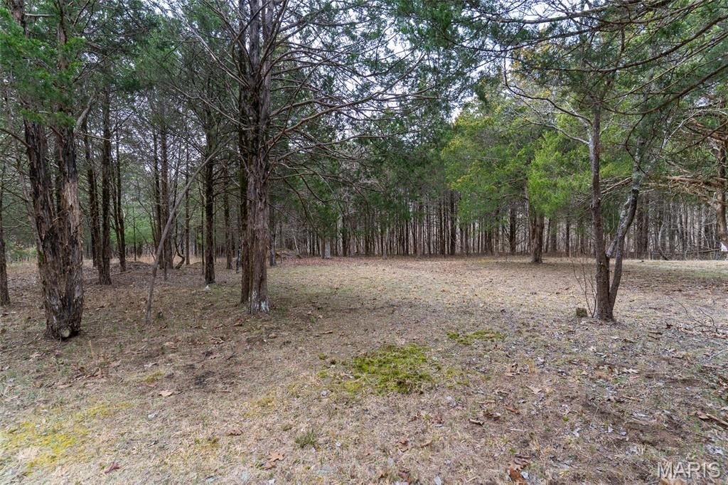
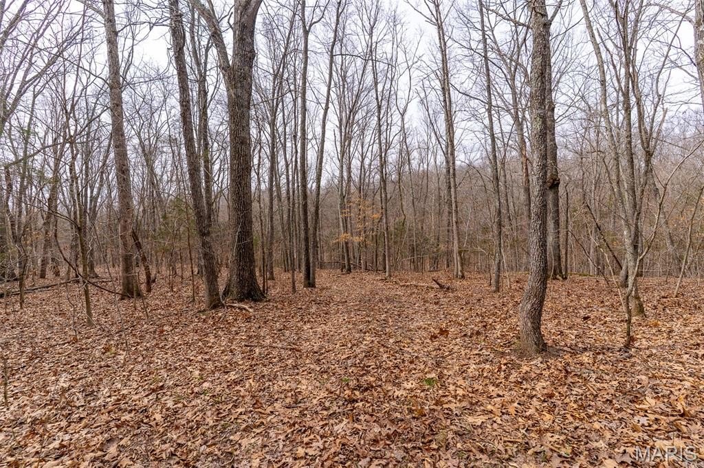
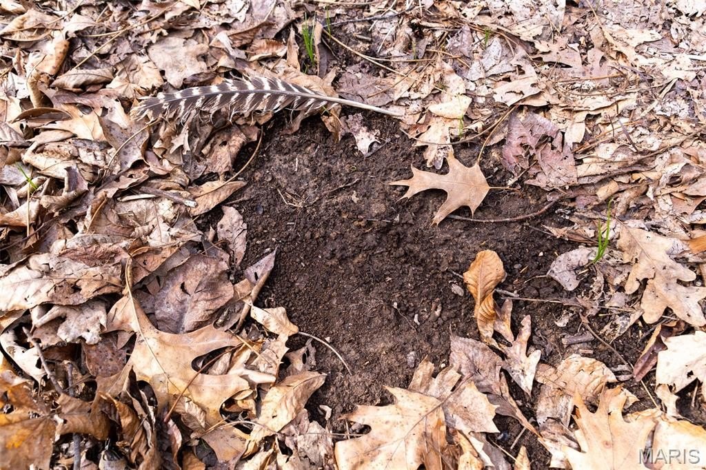
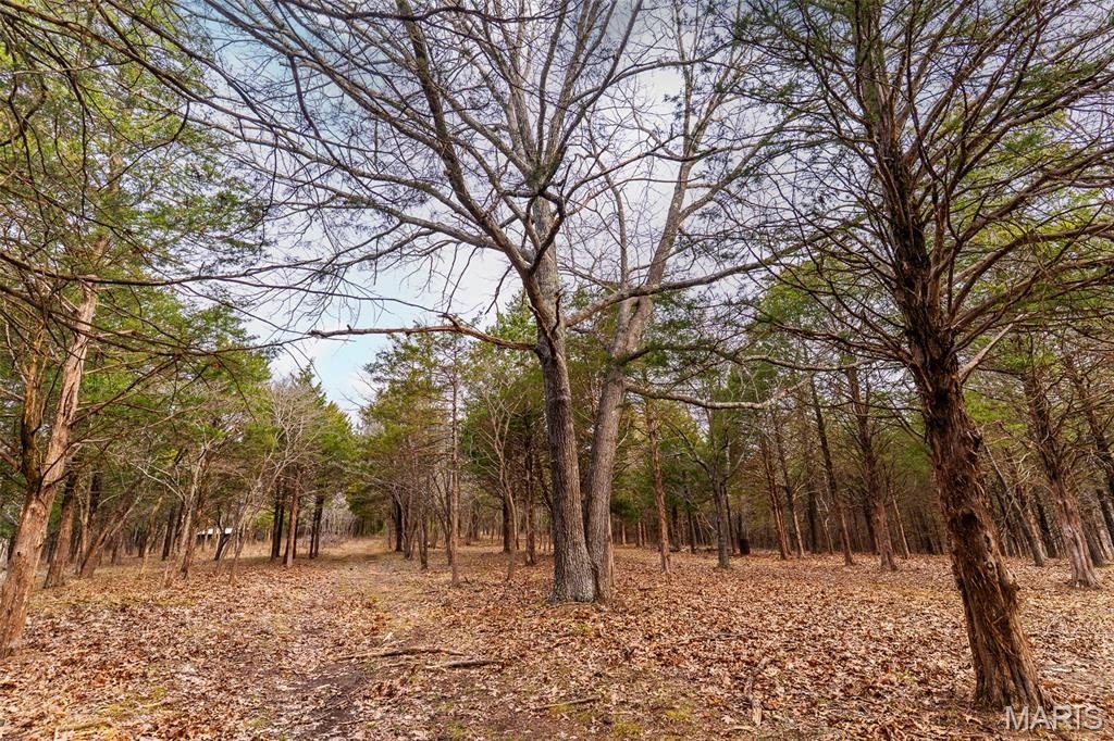
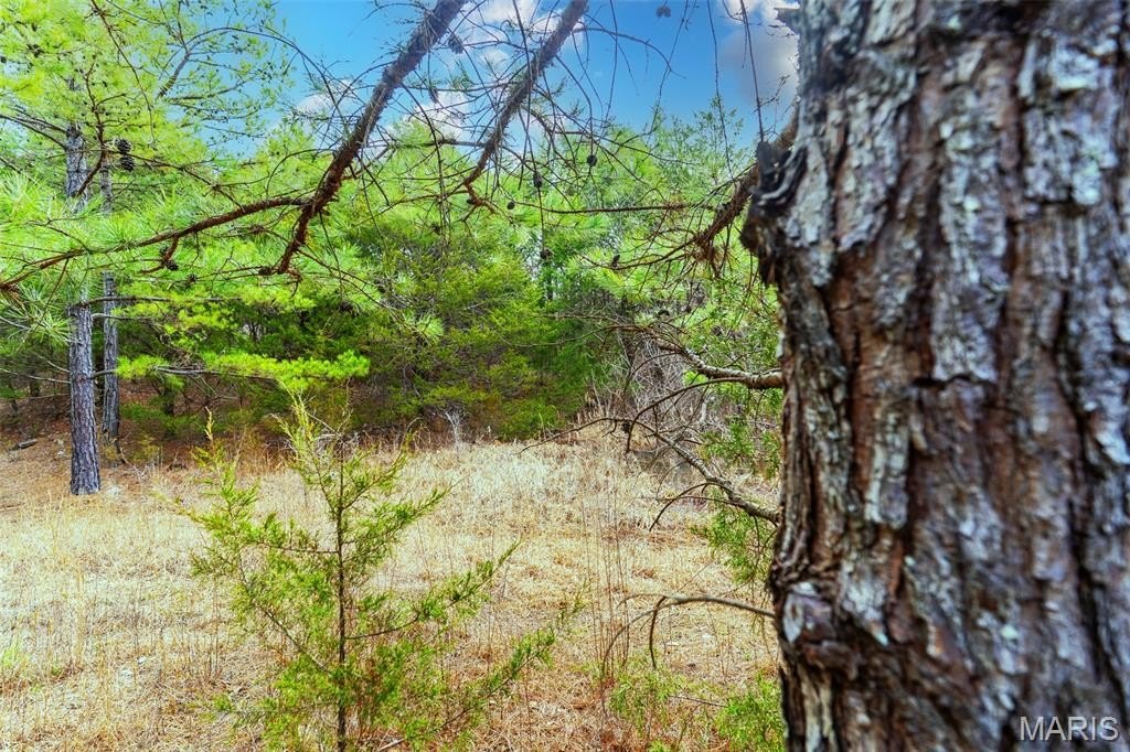
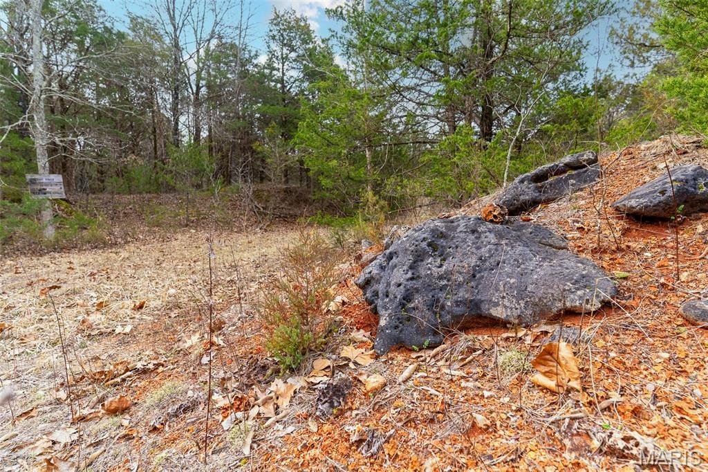
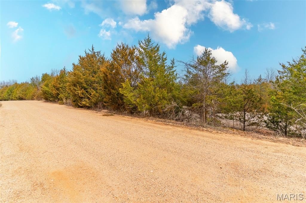
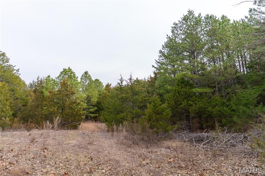
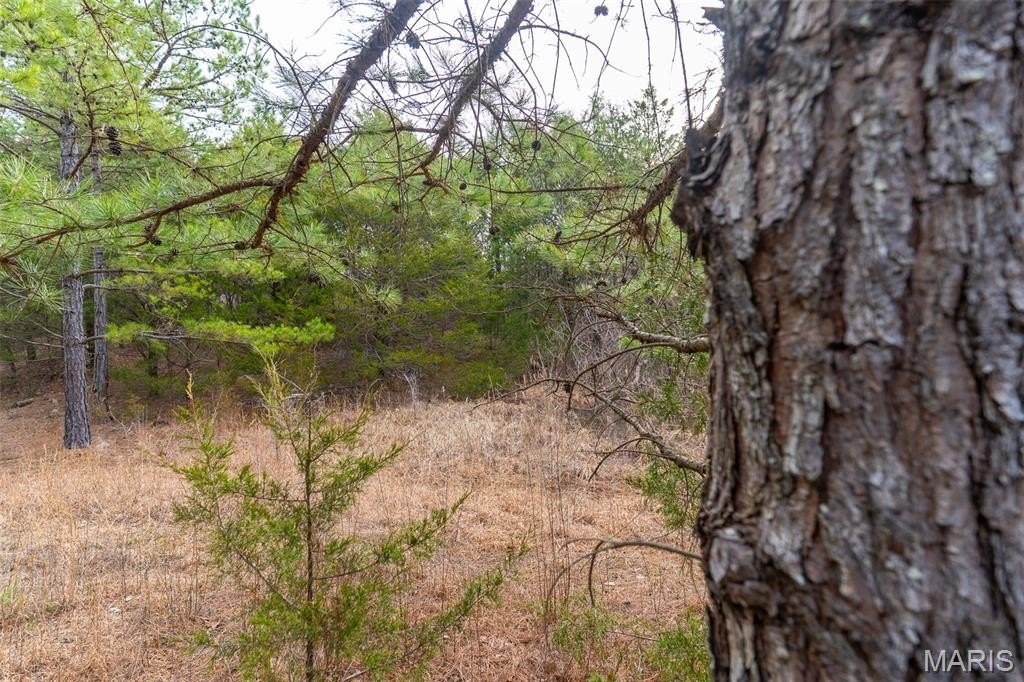
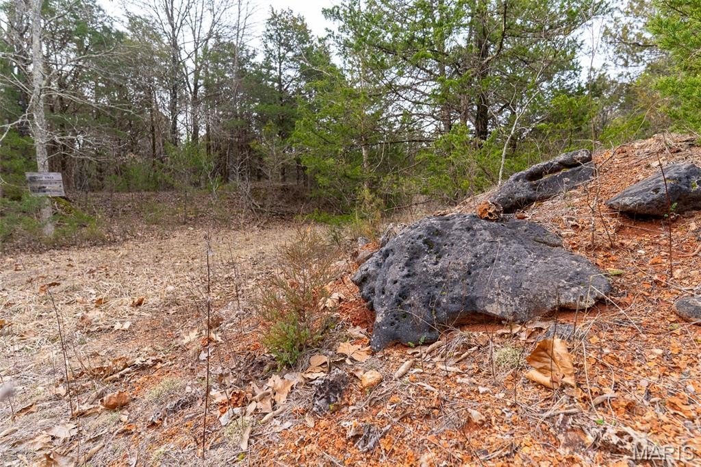
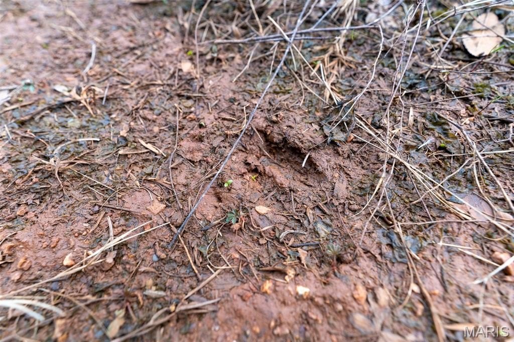
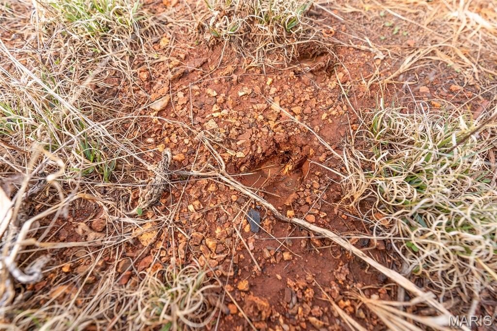
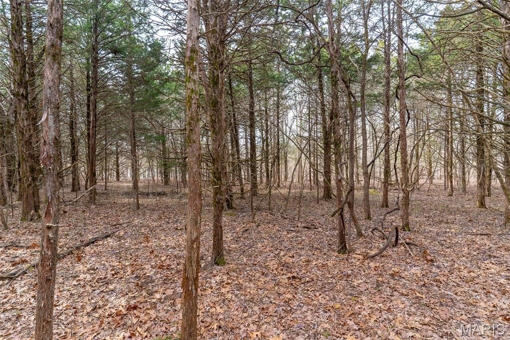
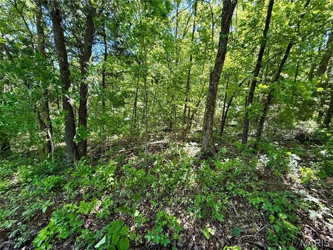
The land is described as full of wildlife activity, including deer and turkey tracks and buck rubs from the previous season. A good mix of hardwoods, pines, and cedars is spread across the tract, providing food, thick cover, and bedding. Zoning is Farm & Ranch. The property is located near Bonne Terre, De Soto, and Potosi, with close proximity to Highway 67 and Washington State Park.
Access is one of the property’s strongest features, with just under a mile of road frontage and three gated entrances. An established trail system is in place to support quick access to the camp site, lake, and preferred tree stand locations.
The land is described as full of wildlife activity, including deer and turkey tracks and buck rubs from the previous season. A good mix of hardwoods, pines, and cedars is spread across the tract, providing food, thick cover, and bedding. Zoning is Farm & Ranch. The property is located near Bonne Terre, De Soto, and Potosi, with close proximity to Highway 67 and Washington State Park.
Key Highlights
- 153+/- acres of hunting and recreation land with a lake and multiple scenic build sites
- Just under a mile of road frontage with three gated entrances
- Established trail system for quick access to the camp site, lake, and tree stands
Property Analytics
Property Profile
Current Use
Lease Details
Yes
Highway access
Yes
Paved road access
Location Intelligence
Trade Area within ½ mile
2
Businesses Nearby
Explore this area
Business Placement
Demographics for 63630, MO
4,169
Population
1,771
Households
2.4
Avg Household Size
41
Median Age
10%
College-Educated
84%
High-School Grad
67.7 sq mi
ZIP Area
62
Density / Sq Mi
$50,896
Median Household Income
$38,958
Median Earnings
$807
Median Rent
$111,600
Median Home Value

Questions? Ask Rey
Realmo’s AI knows this listing — price, zoning, demand, history. Ask anything.



Frequently Asked Questions
What type of property is this?
Hunting land - Lakefront hunting and recreation property with Farm & Ranch zoning, multiple access points, and established trails.
Where is this hunting land located?
The property is located at 10135 Oakland Drive Cadet, MO.
What is the asking price?
The asking price for this property is $703,800.
What are key features of this property?
This property features: 153+/- acres of hunting and recreation land with a lake and multiple scenic build sites; Just under a mile of road frontage with three gated entrances; Established trail system for quick access to the camp site, lake, and tree stands


