1001 Highway 1952, Columbia, KY 42728
- Added:
- May 19, 2026
- Days on Market:
- 35
- Last Refresh:
- Jun 22 at 4:06 am
Property Features for 1001 Highway 1952
General Information
- Property type
- Land
- Property subtype
- Other
- Standard status
- Active
- Lot size
- 297.00 Acres
Building Details
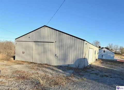
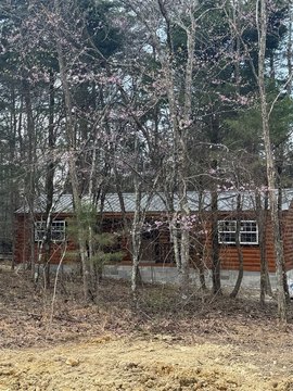
- Additional Structures
- Storage
Listing agent Dane Driscoll License #298521 (270) 765-8345
Listing office Whitetail Properties Real Estate, LLC 121 S Madison St., Pittsfield, KY (217) 473-5642
Listing date May 19, 2026
Copyright © 2026 South Central Kentucky Association of Realtors. All rights reserved. All information provided by the listing agent/broker is deemed reliable but is not guaranteed and should be independently verified.
HighLights
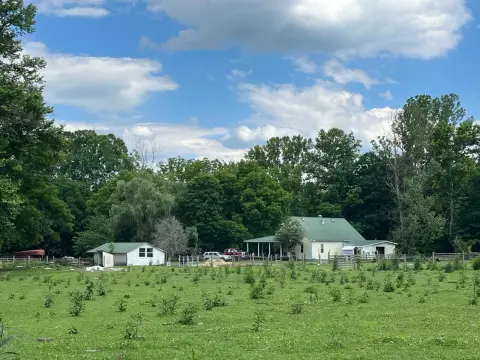
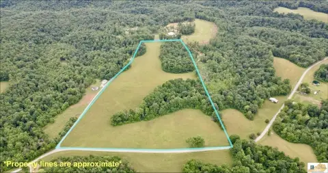
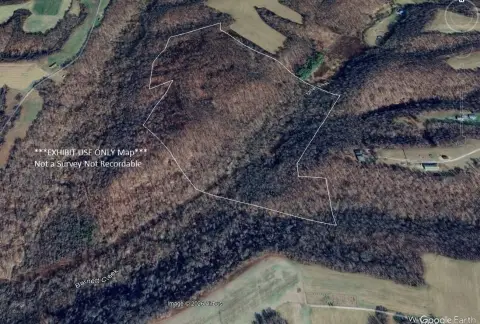
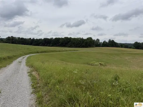
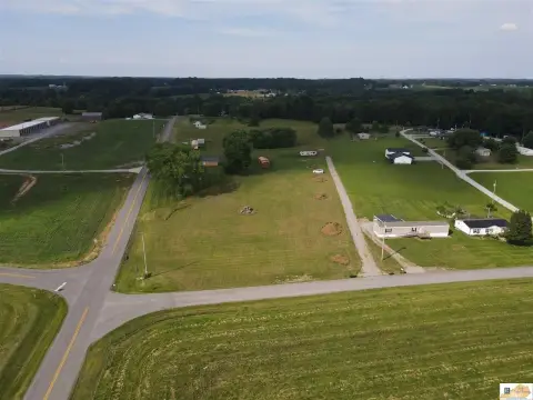
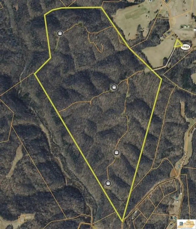
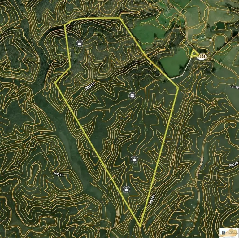
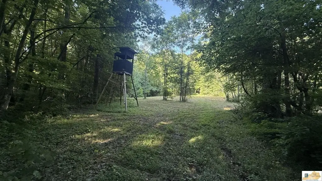
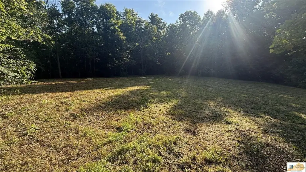
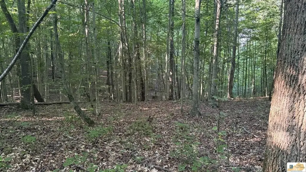
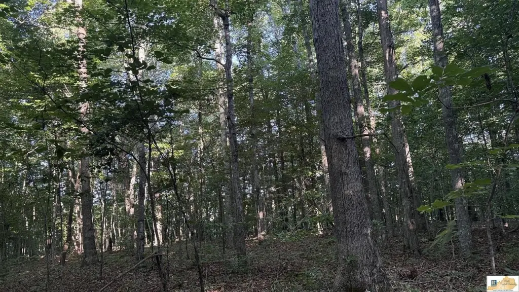
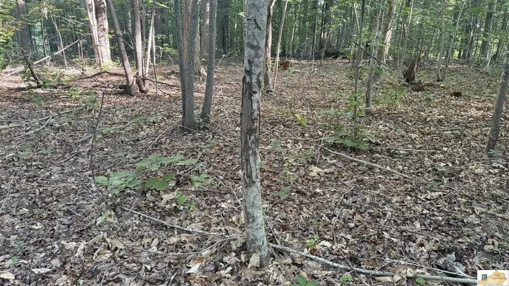
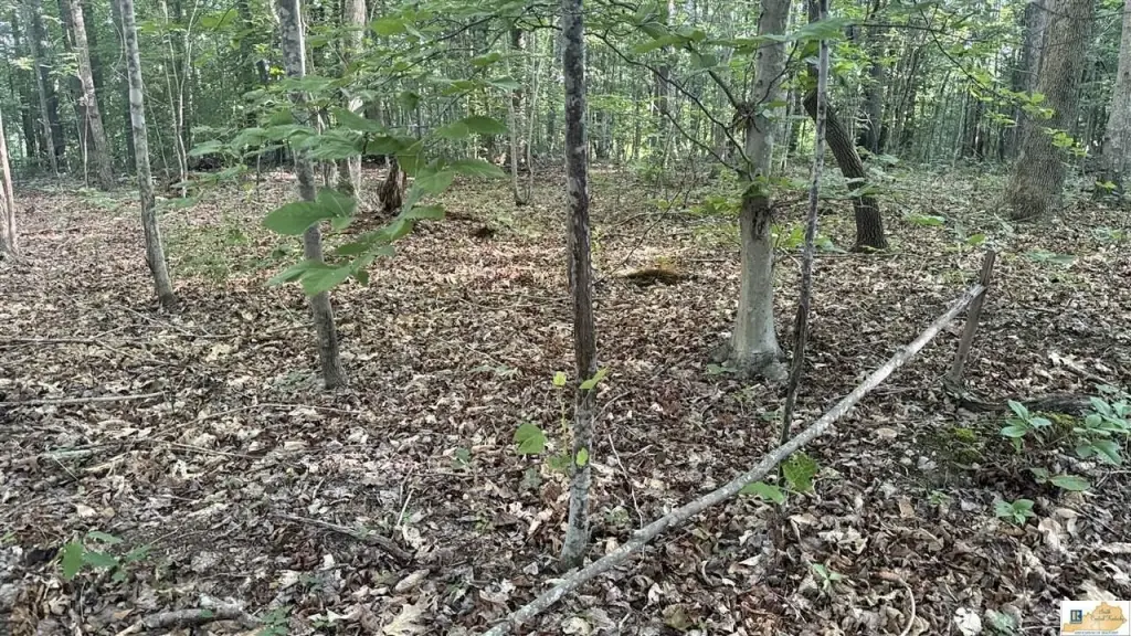
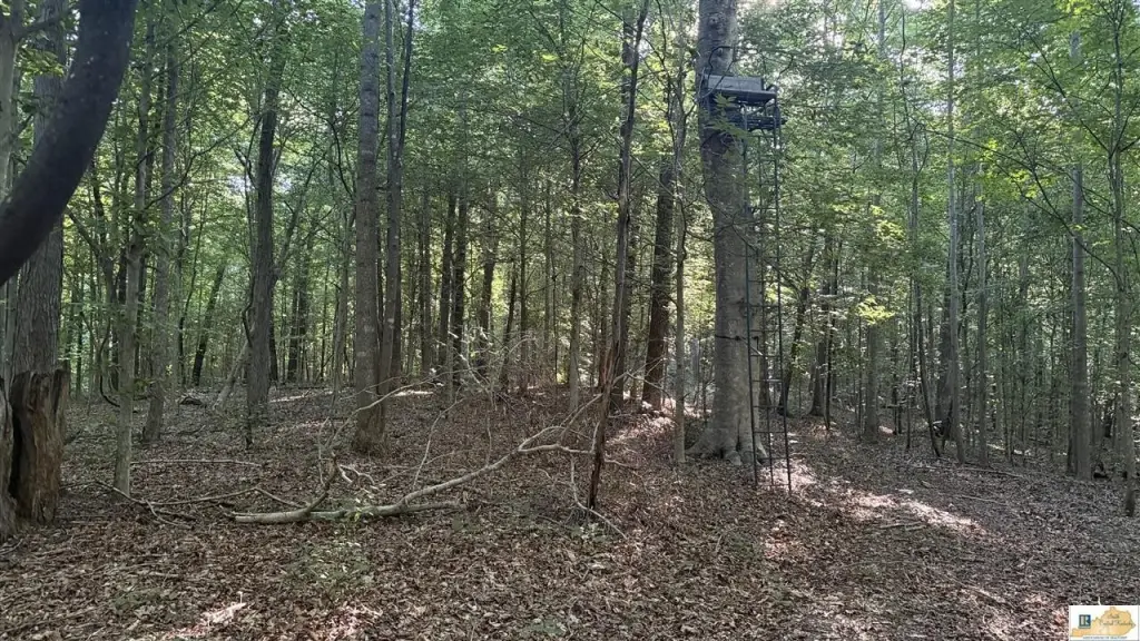
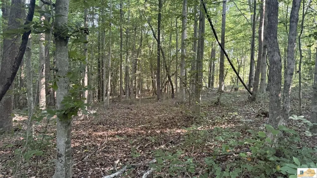
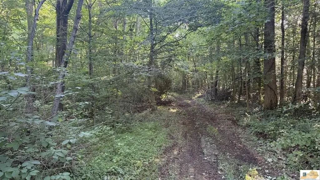
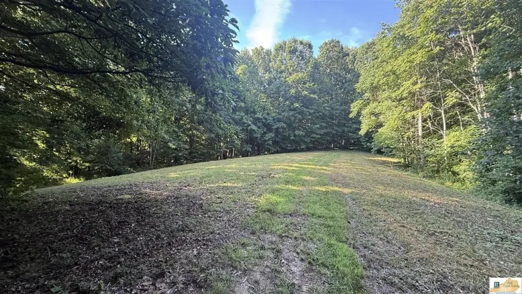
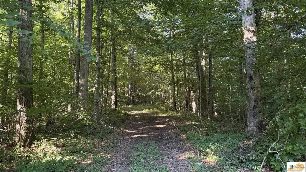
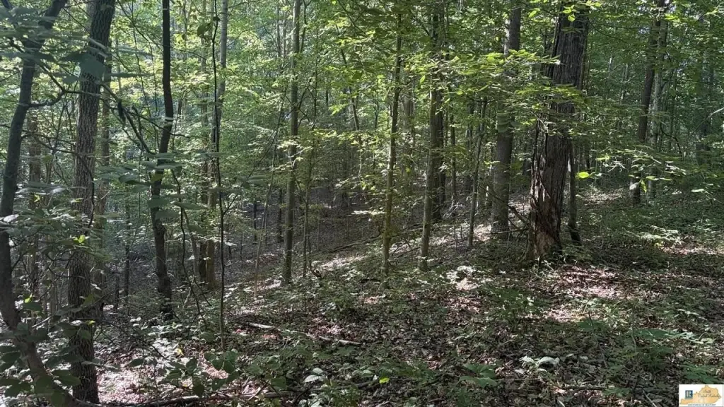
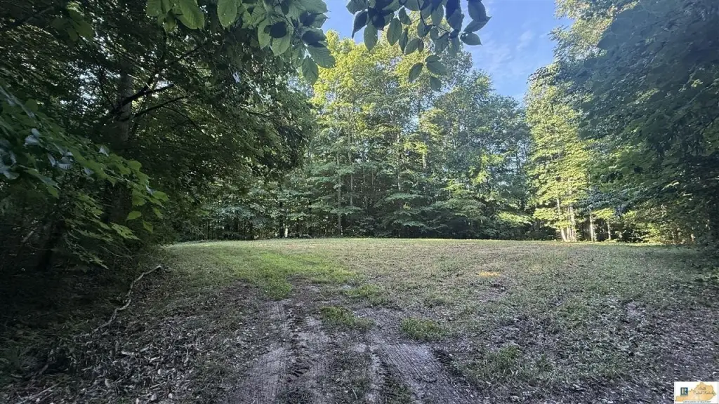
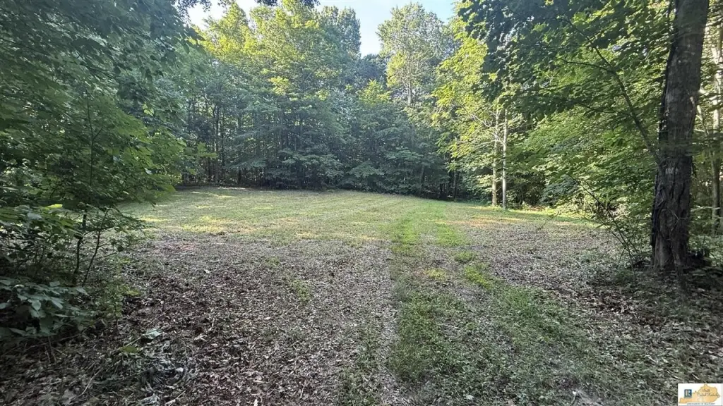
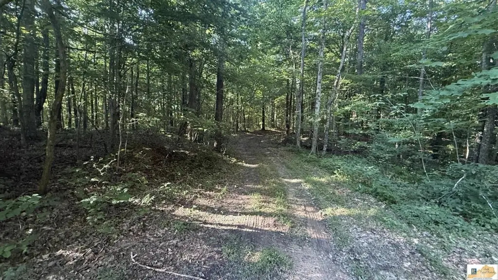
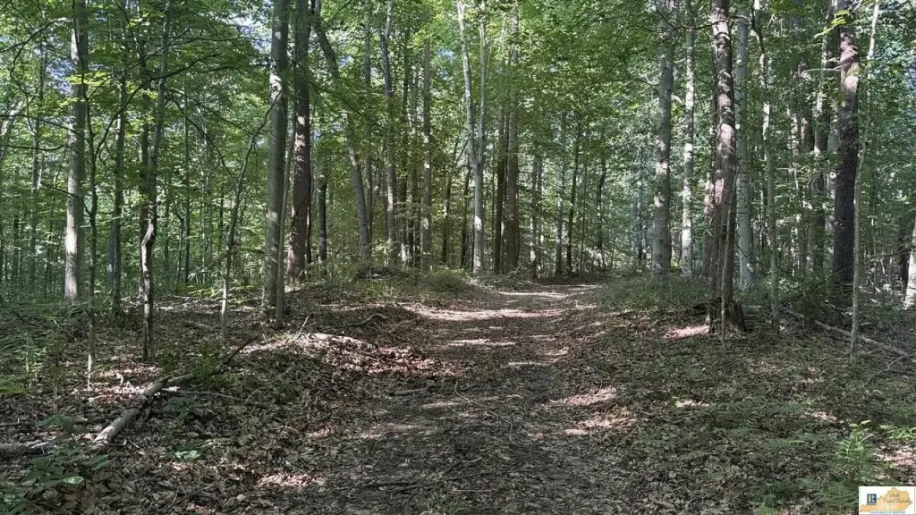
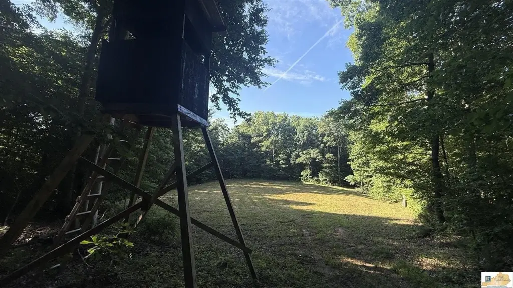
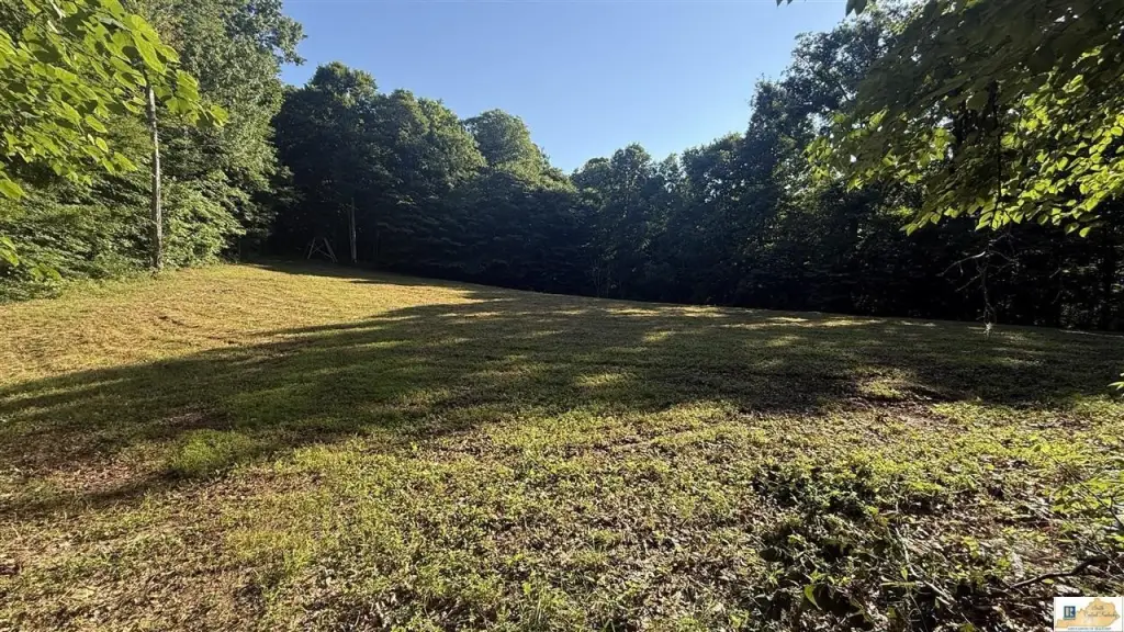
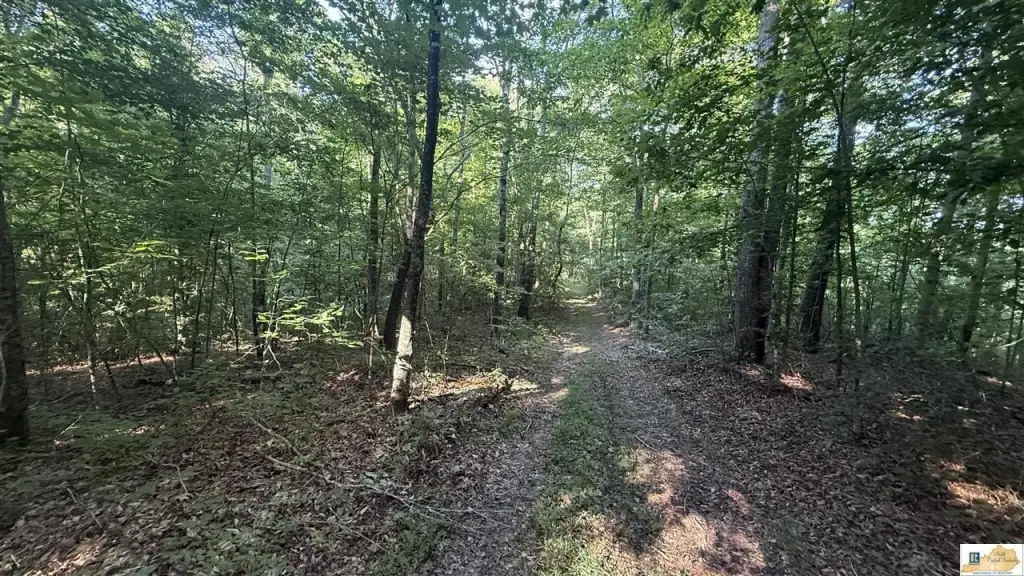
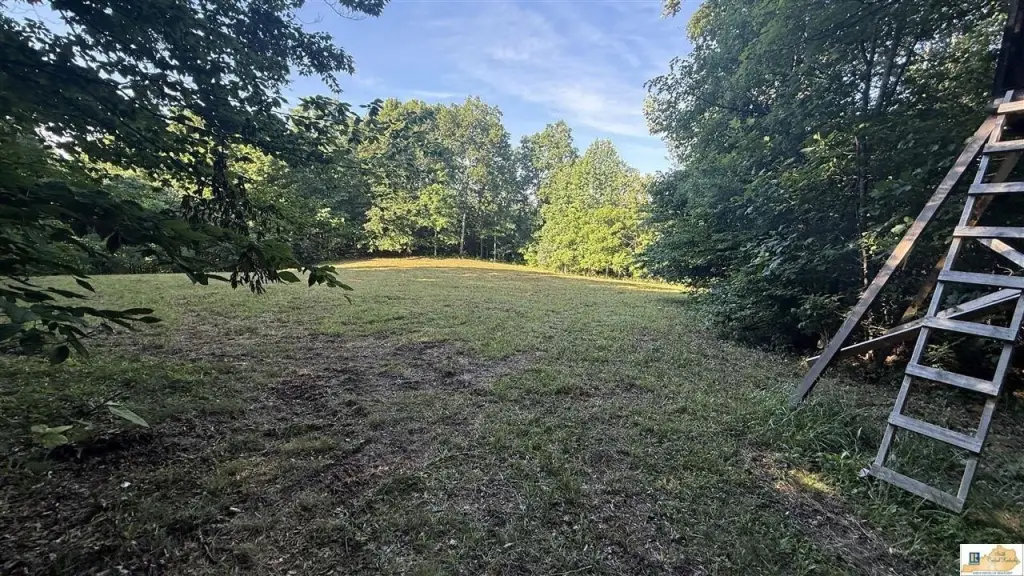
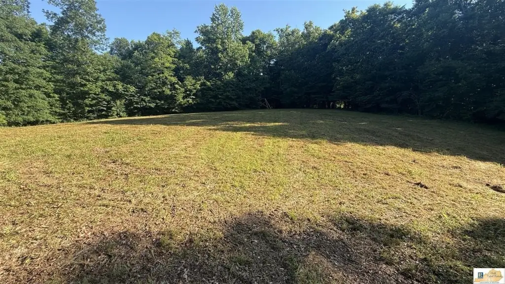
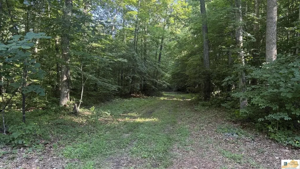
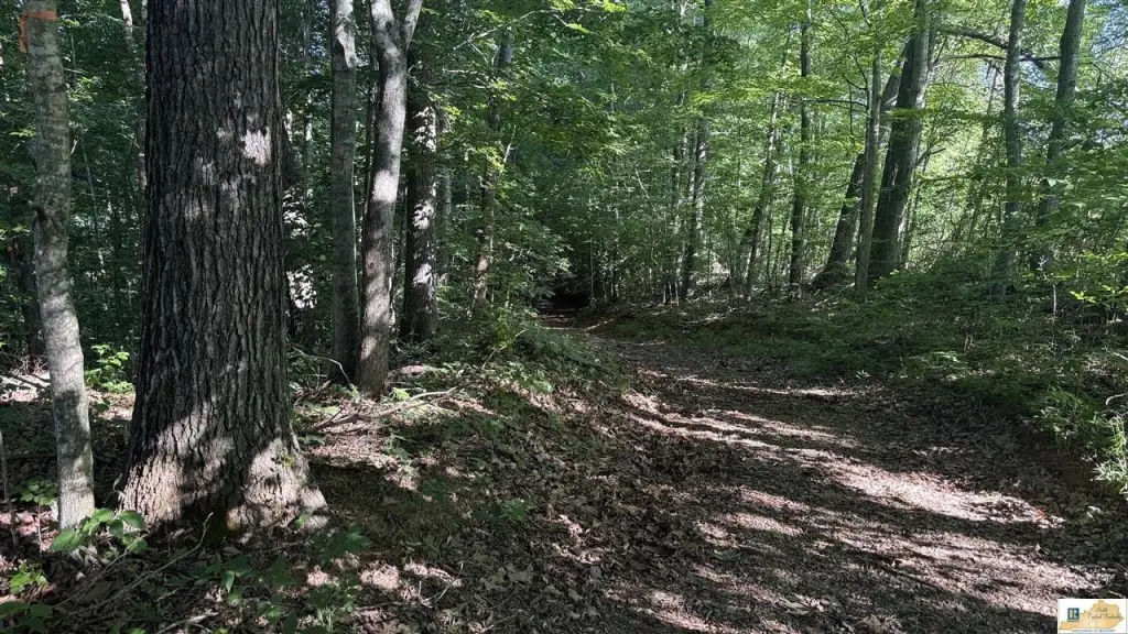
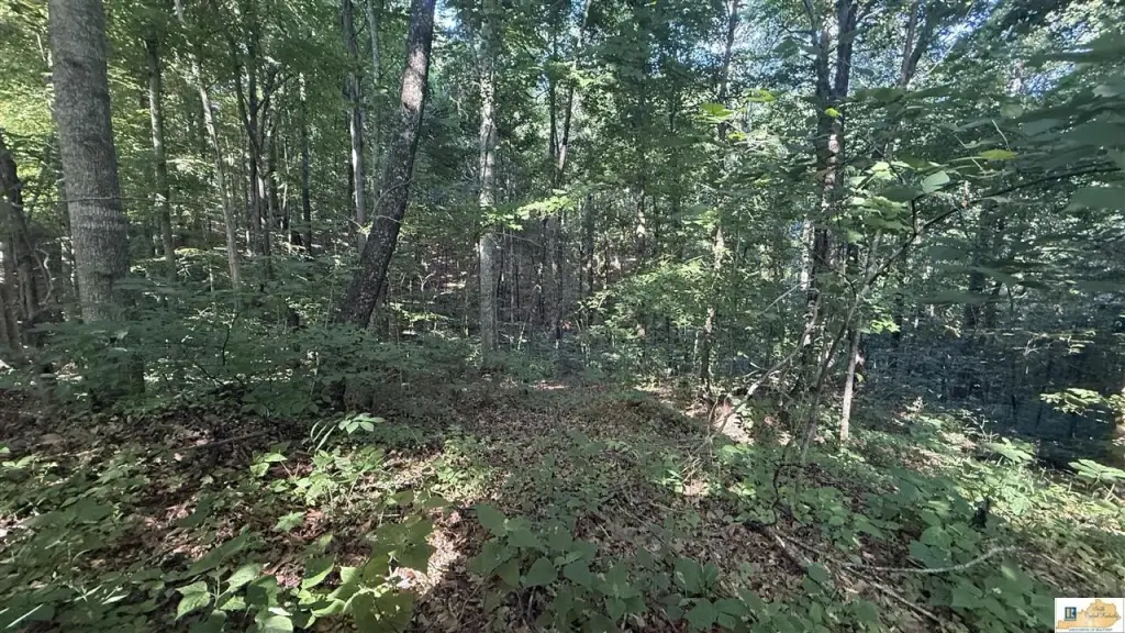
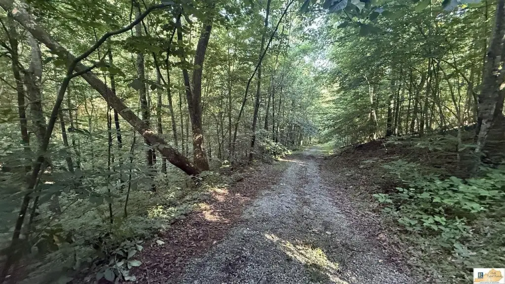
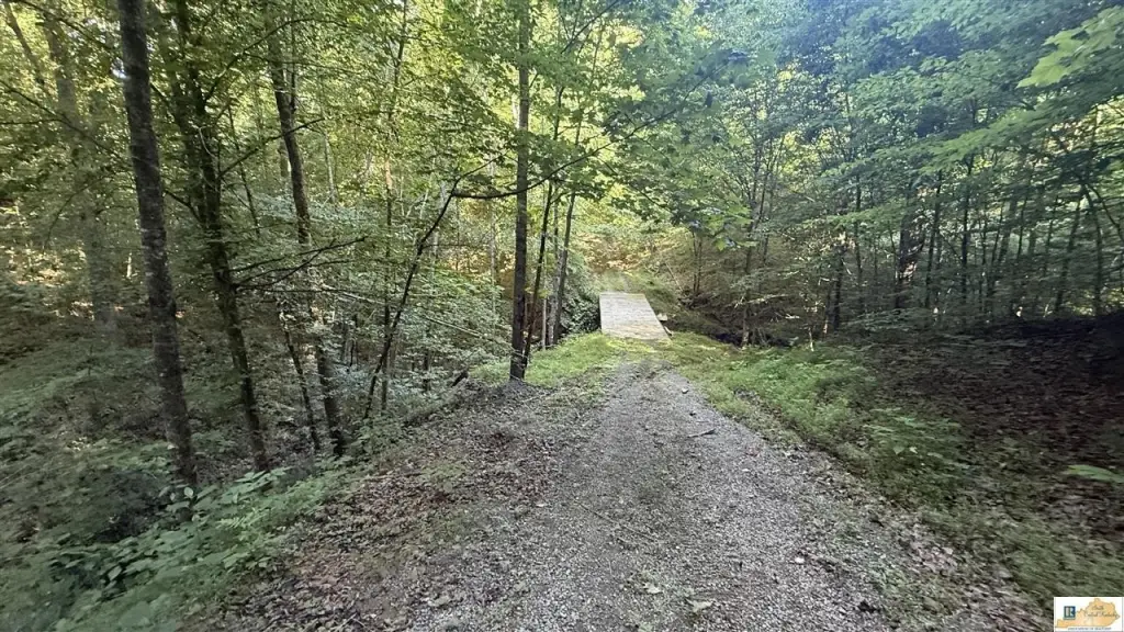
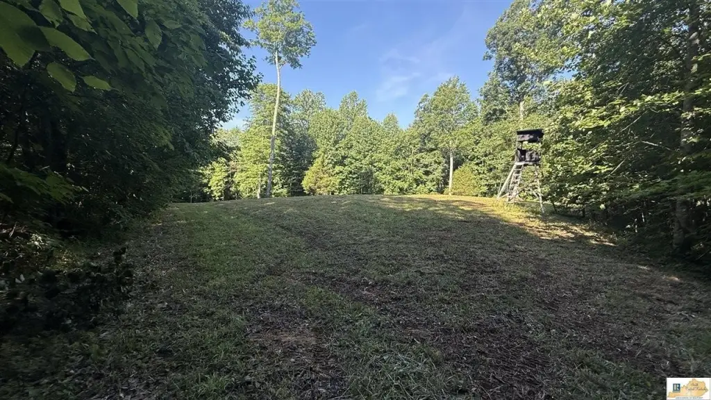
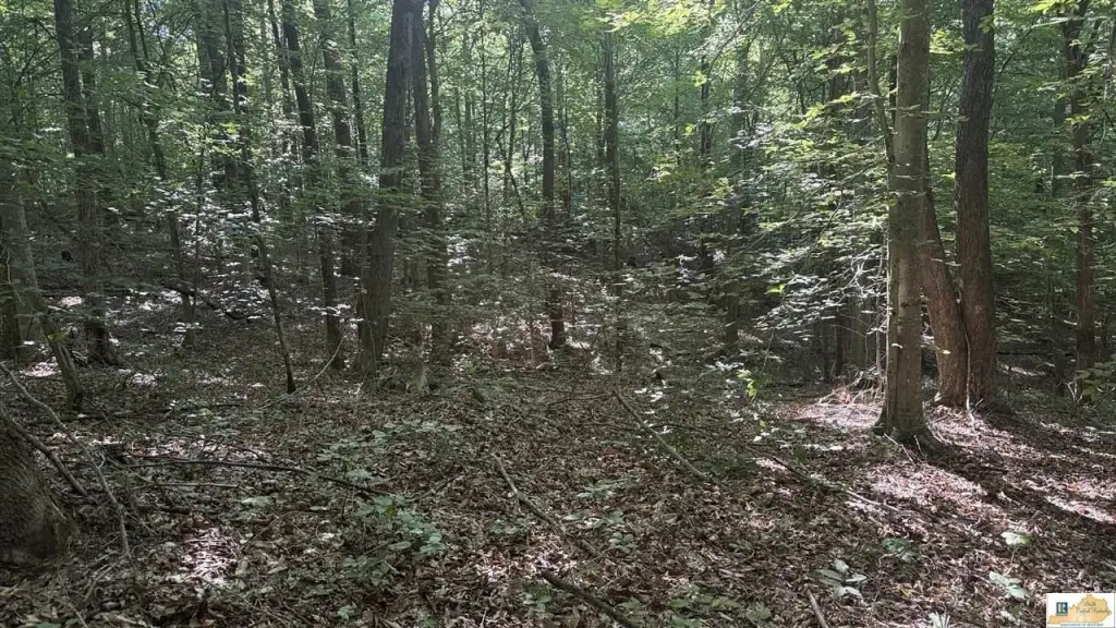
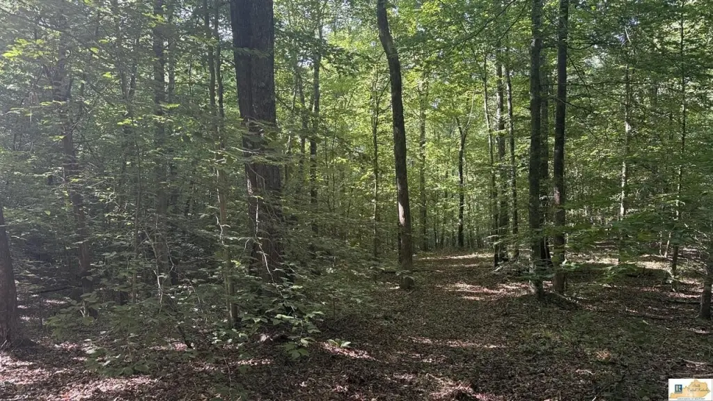
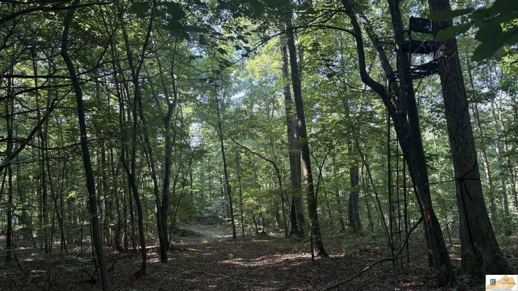
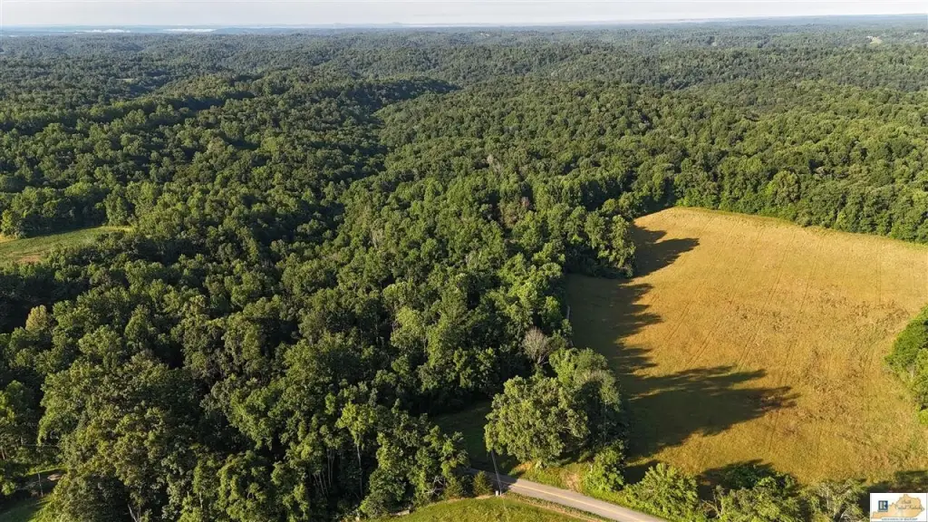
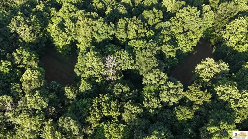
- 297+/- acre Adair County recreational property offered in two tracts
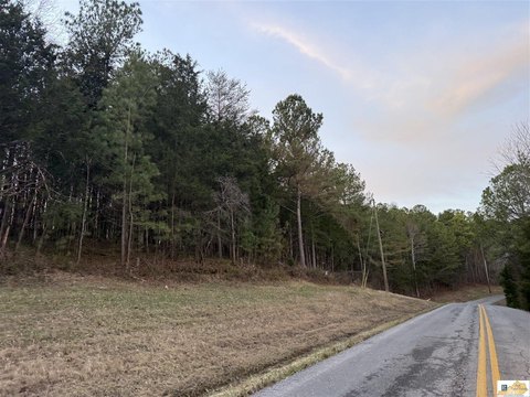
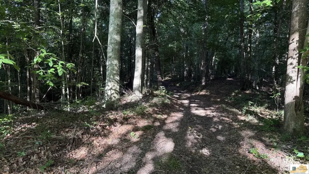
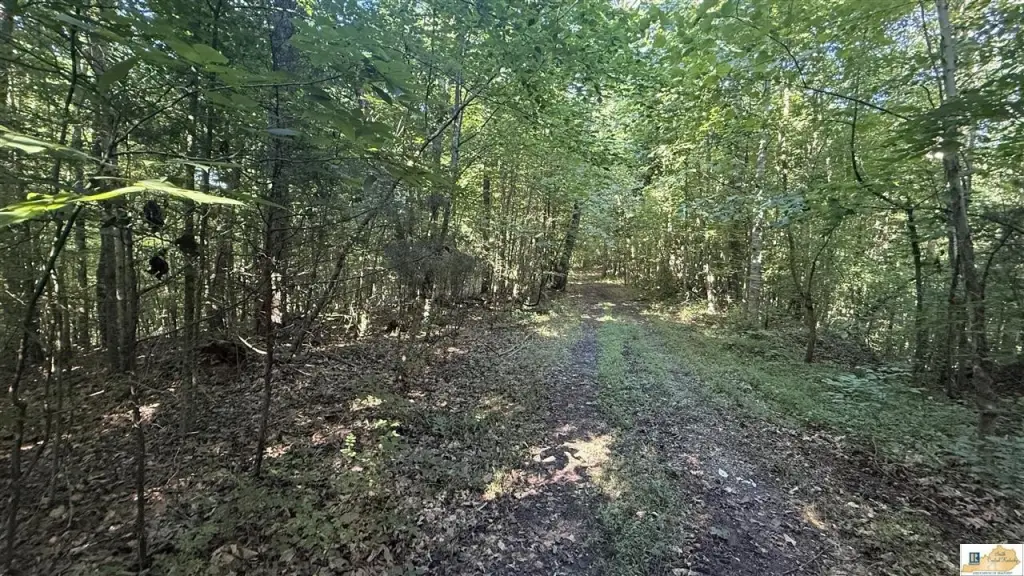
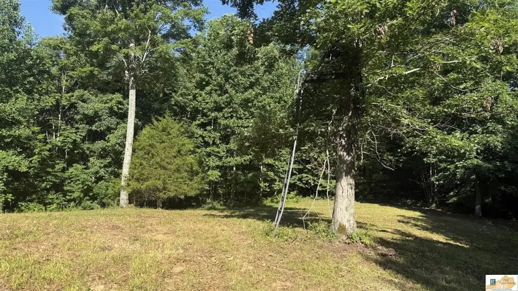
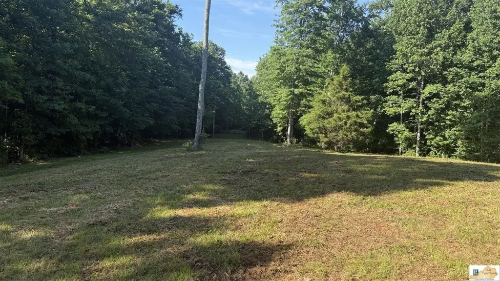
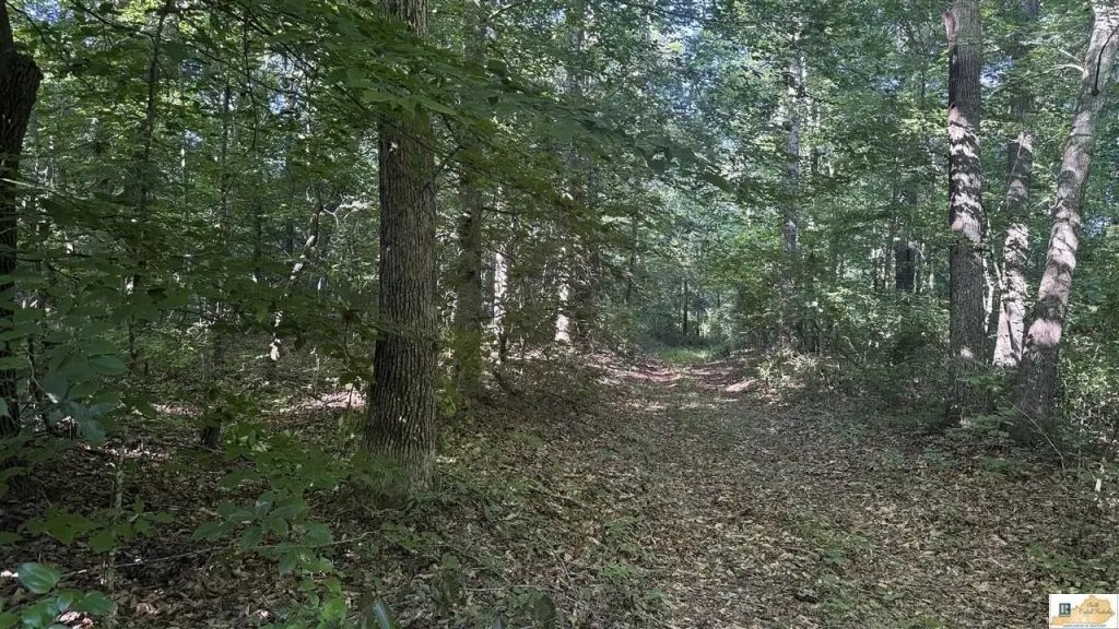
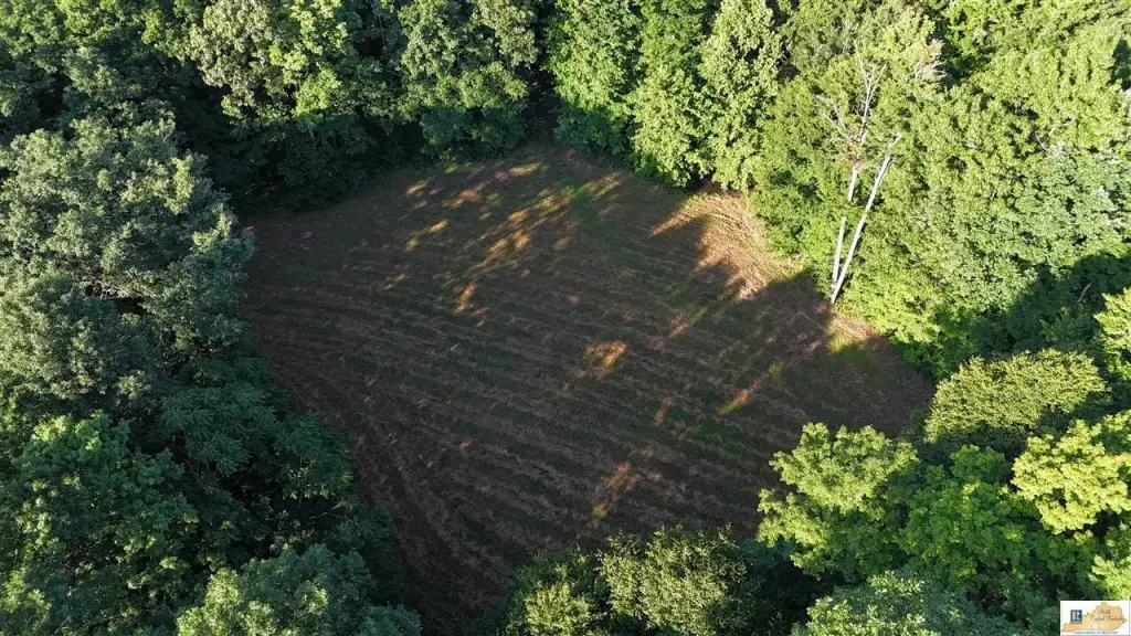
- Rolling ridges, draws, and elevation changes with an internal road and trail system for truck, ATV, or UTV access
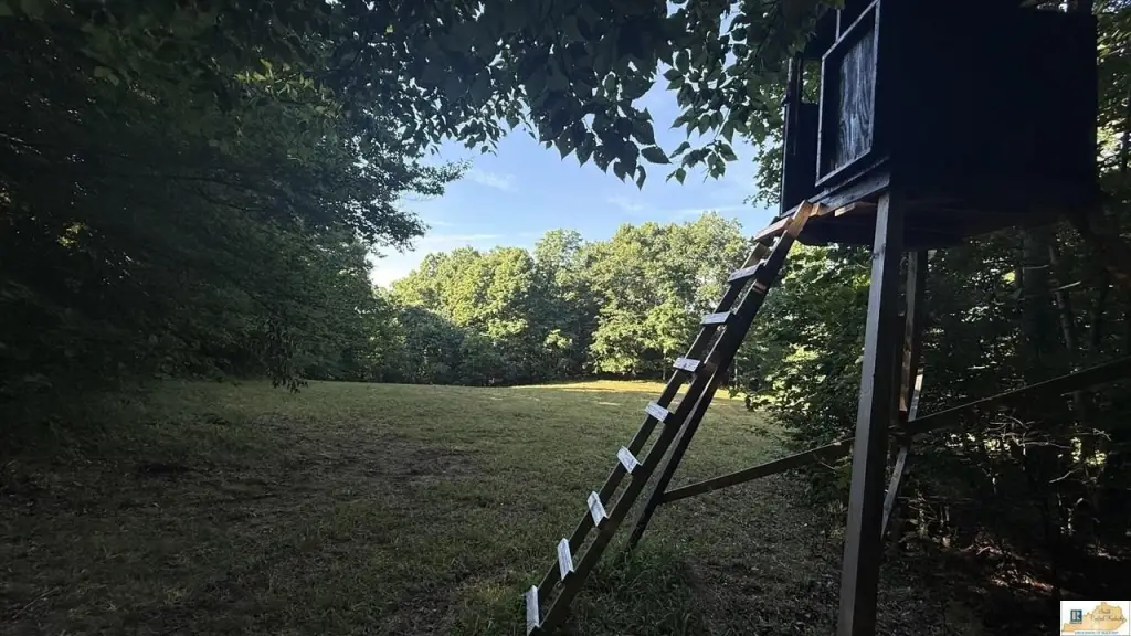
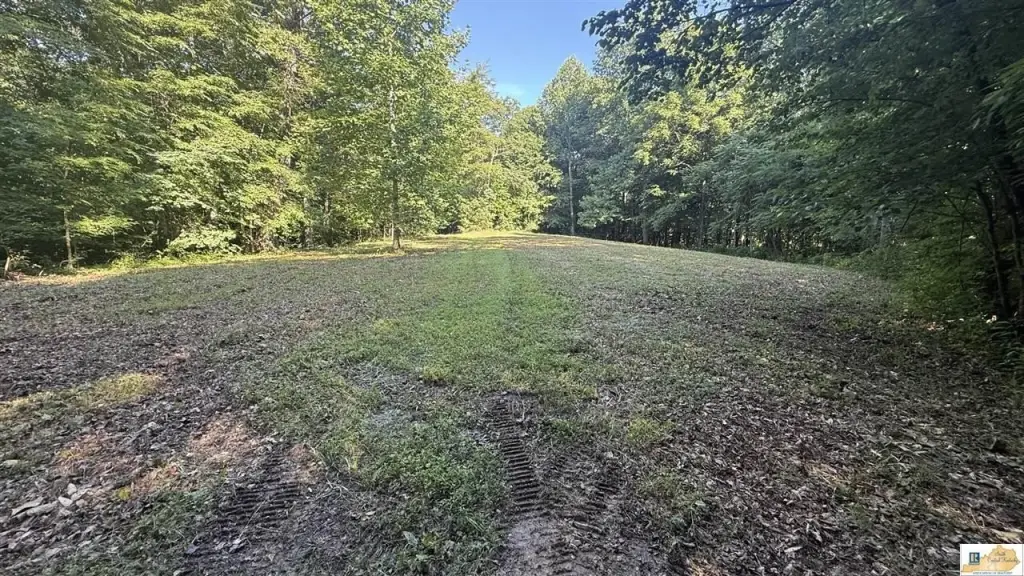
- Nine food plots plus four elevated box blinds conveying with the sale for established hunting locations
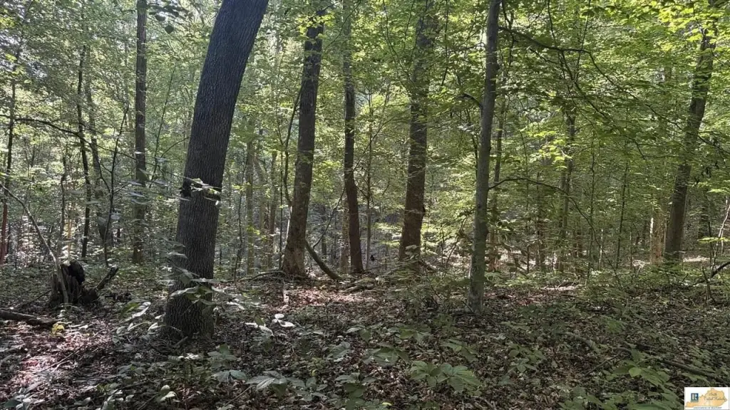
- Mature timber with a completed timber cruise; timber value/volume requires buyer due diligence
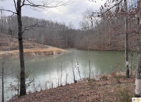
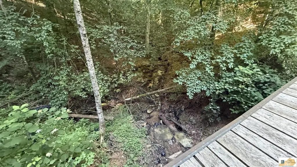
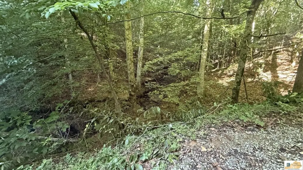
- Creek flows through portions of the property, providing a natural water source and habitat diversity
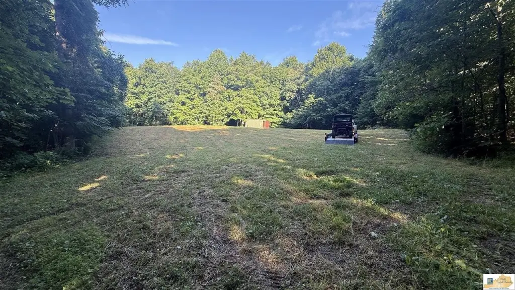
- Front tract offers potential building locations with utilities available at the road; shipping container conveys for secure storage
Overview
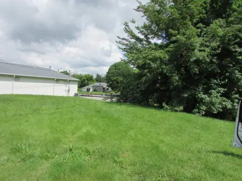
The property is located at 1001 Highway 1952 in Columbia, KY. The front tract provides potential building locations with utilities available at the road, while the larger acreage behind offers continued separation for recreation and management.
For buyers seeking a private hunting tract with existing wildlife improvements, timber, and practical access, the road and trail network and built-in food plots and blinds are designed to support day-to-day on-site use. With utilities available on the front tract, there is also a possible path to adding a residence or cabin while keeping the balance of the acreage dedicated to recreation. Buyers should verify all information including exact acreage, utilities, timber details, access, and intended use prior to purchase.
Current Use by Public Records
Map
- City
- Columbia
- County
- Adair
- State
- Kentucky
- Longitude
- -85.3366094
- Latitude
- 36.9813596