Highway-Adjacent
New
For Sale
Contact for pricing
1 1111, Rock Rapids, IA 51246
Land, Rock Rapids, IA
Property SizeContact for details
Lot Size80.00 Acres
Days on Market2
Property Features for 1 1111
General Information
Property type
Land
Property subtype
Other
Directions
Directions: From Caseys in Rock Rapids, IA go South on HWY 75 for approx.. 6 1/2 miles to the farm. The farm is located on the East side of HWY 75! Or From Hull, IA go 1 1/2 mile West on HWY 18 to HWY 75 then go North on HWY 75 for 10 1/2 miles to the farm. Land is located on the East side of HWY 75. Auction signs will be located at the property. Auction Location: Auction of the property to be held onsite at the property.
Standard status
Active
Lot size
80.00 Acres
Taxes and HOA fees
Tax Annual Amount
1522
Listing Agency:
Zomer Company
Listed By:
Mark Zomer
(712) 476-9443
Added: Oct 13
Last Checked: Oct 14 at 5:06PM
MLS# 12025512
Copyright © 2026 My State MLS. All rights reserved. All information provided by the listing agent/broker is deemed reliable but is not guaranteed and should be independently verified.
Investment Insights
Based on property information with market context.
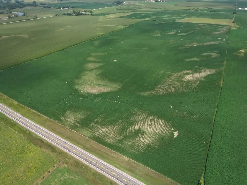
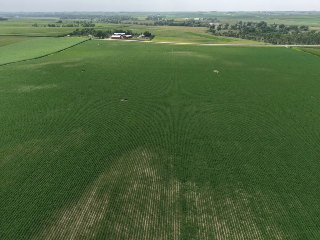
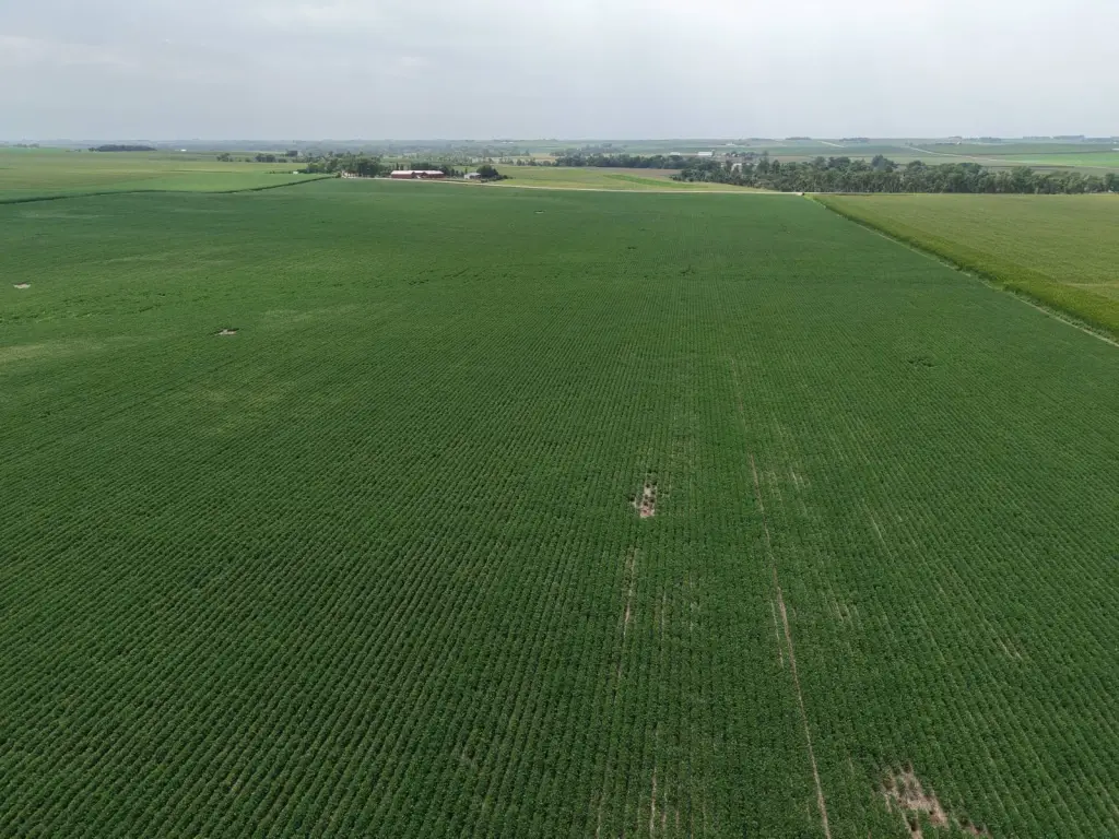
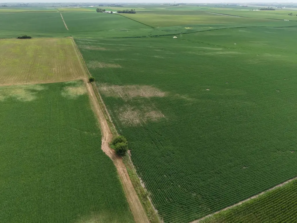
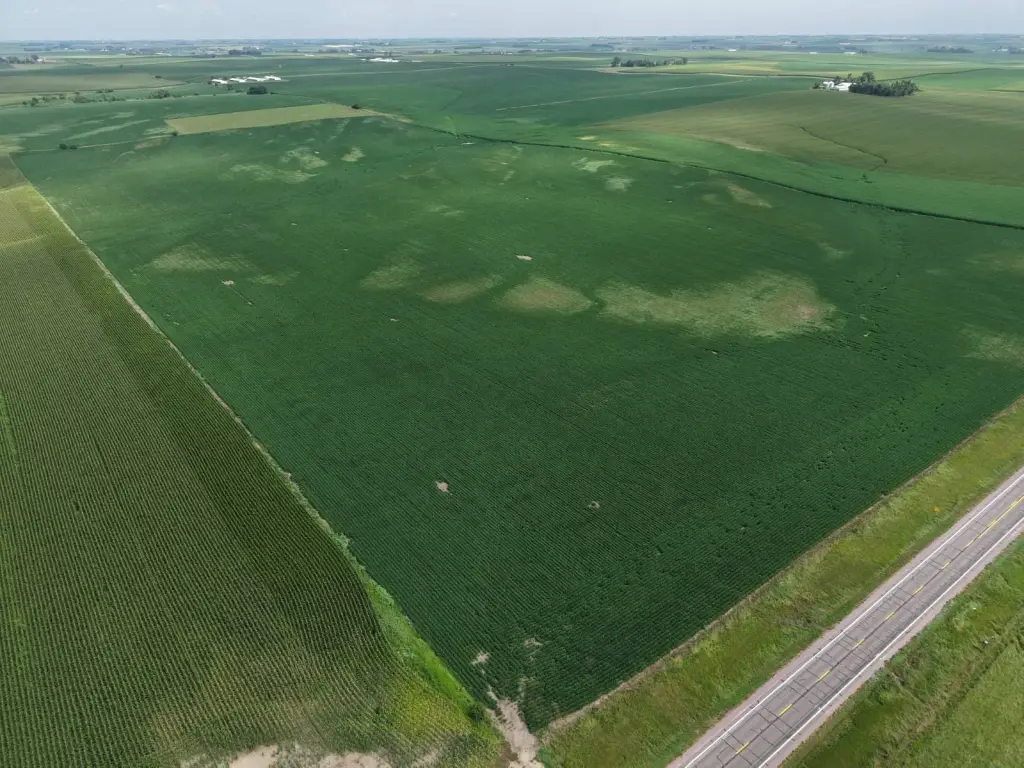
This Lyon County farm comprises approximately 80 gross acres, with about 78.27 tillable acres according to the FSA/survey, or 97.8% of the tract. The property is classified as NHEL and has an average CSR2 of 53.5 and CSR1 of 46.2. Field rows extend approximately one-half mile, and the only identified non-tillable area is the road and ditch.
The land lies adjacent to Highway 75, south of Rock Rapids. Its crop bases include 23.05 soybean acres with a 36-bushel PLC yield and 40.52 corn acres with a 144-bushel PLC yield. Predominant soil types include Bolan, Dickman, Davis, Ackmore, Alcester, Dempster, Terril, and Ocheydan.
The land lies adjacent to Highway 75, south of Rock Rapids. Its crop bases include 23.05 soybean acres with a 36-bushel PLC yield and 40.52 corn acres with a 144-bushel PLC yield. Predominant soil types include Bolan, Dickman, Davis, Ackmore, Alcester, Dempster, Terril, and Ocheydan.
Key Highlights
- Approximately 80 gross acres, including 78.27 tillable acres
- 97.8% tillable; the road and ditch are the only identified non‑tillable areas
- Adjacent to Highway 75, south of Rock Rapids
Property Analytics
Current Use
Location Intelligence
Trade Area within ½ mile
2
Businesses Nearby
Explore this area
Business Placement
Demographics for 51246, IA
3,834
Population
1,616
Households
2.4
Avg Household Size
38
Median Age
21%
College-Educated
96%
High-School Grad
161.1 sq mi
ZIP Area
24
Density / Sq Mi
$69,320
Median Household Income
$44,032
Median Earnings
$773
Median Rent
$232,900
Median Home Value

Questions? Ask Rey
Realmo’s AI knows this listing — price, zoning, demand, history. Ask anything.
Frequently Asked Questions
What type of property is this?
Agricultural land / Farmland - Predominantly tillable acreage with long field rows and access beside Highway 75.
Where is this agricultural land / farmland located?
The property is located at 1 1111 Rock Rapids, IA.
What are key features of this property?
This property features: Approximately 80 gross acres, including 78.27 tillable acres; 97.8% tillable; the road and ditch are the only identified non‑tillable areas; Adjacent to Highway 75, south of Rock Rapids


