Agricultural Land with Pond
For Sale
$221,000
02 N 4020 Rd, Bartlesville, OK 74006
LAND - Bartlesville, OK
Property SizeContact for details
Lot Size50.00 Acres
Days on Market698
Property Features for 02 N 4020 Rd
General Information
Property type
Land
Property subtype
Other
Directions
Call for maps
Standard status
Active
Lot size
50.00 Acres
Listing Agency:
Cross Timbers Land LLC
(918) 287-1996
Listed By:
Jeff Henry
(918) 287-1996
Added: Sep 24, 2024
Changed: Jul 2
Last Checked: Aug 22 at 11:06PM
MLS# 11381349
Copyright © 2026 My State MLS. All rights reserved. All information provided by the listing agent/broker is deemed reliable but is not guaranteed and should be independently verified.
Investment Insights
Based on property information with market context.
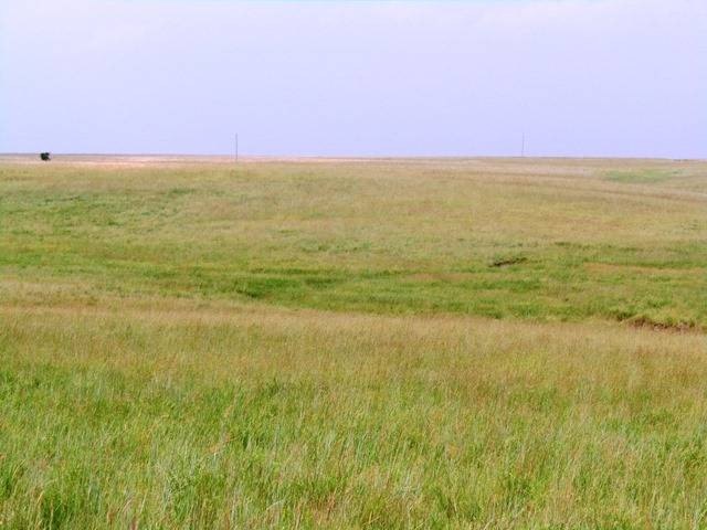
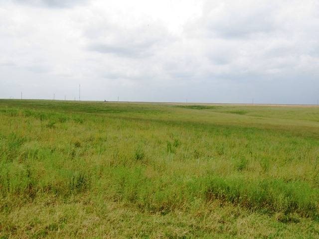
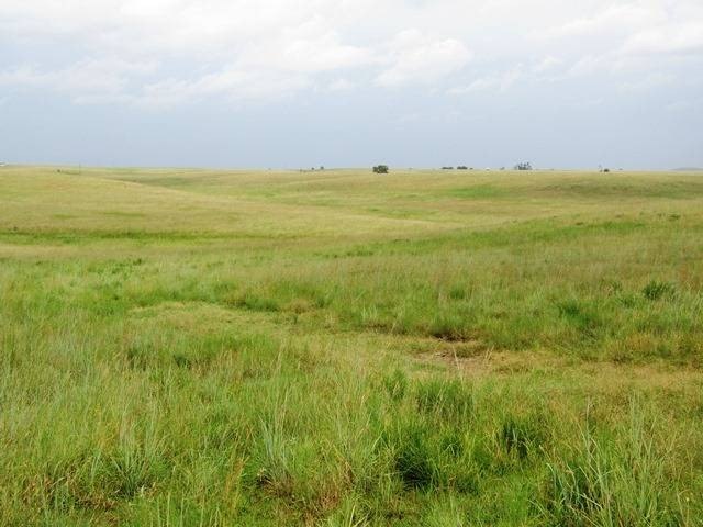
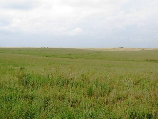
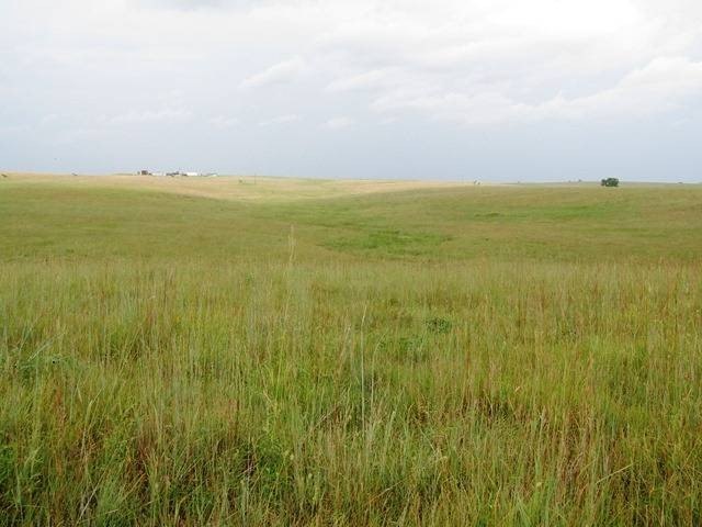
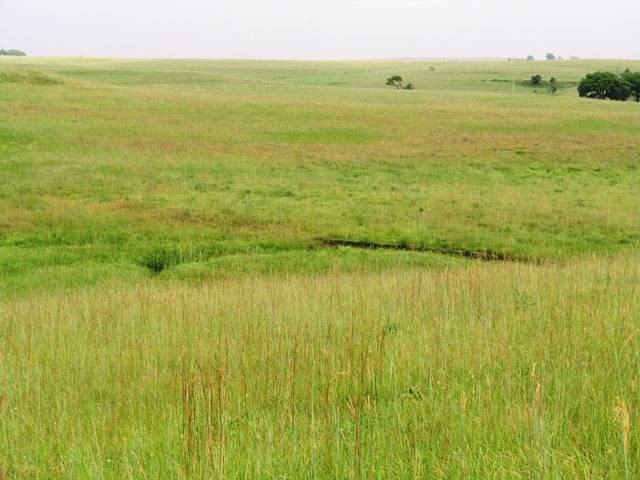
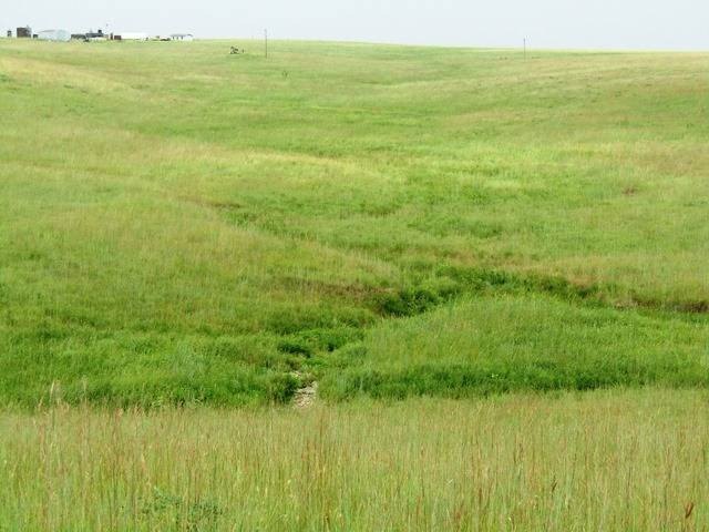
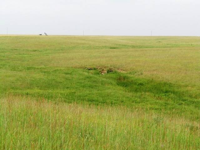
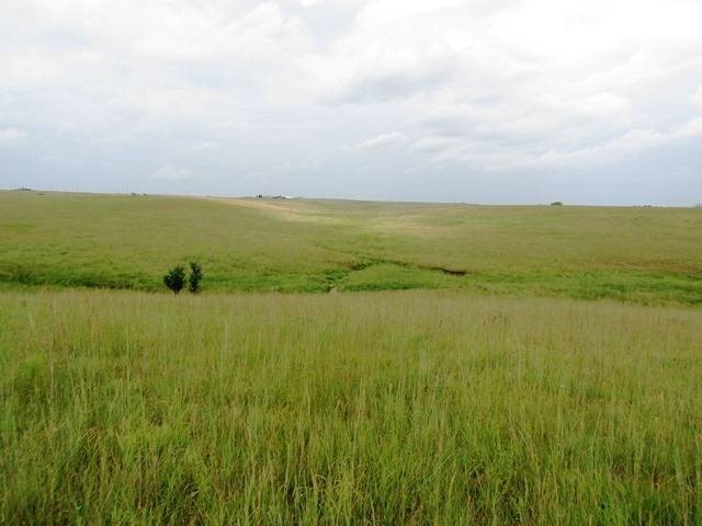
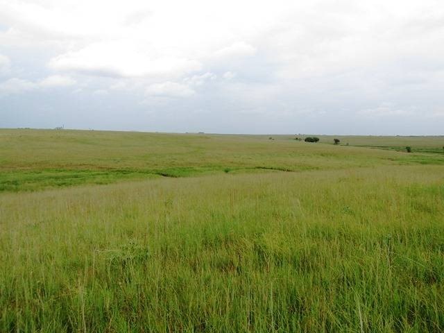
Acreage tracts in the Tyler Brent Ranch area offering agricultural zoning and multiple natural draws that shape the land and create pond potential. An existing 1-acre pond is on site, and the property’s elevation changes provide several locations for smaller ponds. Electricity is onsite, and a 2" rural water line is located a short distance to the west.
The tracts are minutes from Bartlesville and located on the north side of E 1800 Road, with each tract surveyed and marked for identification. The land is currently unfenced. The full acreage includes 4 inactive oil wells, and there is current road access into the tracts.
This offering includes Tract A (50.28 surveyed acres) and Tract B (72.36 surveyed acres) plus Tract C (36.04 surveyed acres). Tract A is accessed via a legal road easement across Tract B and features multiple draws with rolling terrain, along with building locations. Tract B includes rolling terrain plus an existing pond and building locations, with access provided by a legal easement across the south end of Tract A. Tract C includes multiple pond and building locations and county road frontage, with approximately 1,735 feet on County Road 1800.
The tracts are minutes from Bartlesville and located on the north side of E 1800 Road, with each tract surveyed and marked for identification. The land is currently unfenced. The full acreage includes 4 inactive oil wells, and there is current road access into the tracts.
This offering includes Tract A (50.28 surveyed acres) and Tract B (72.36 surveyed acres) plus Tract C (36.04 surveyed acres). Tract A is accessed via a legal road easement across Tract B and features multiple draws with rolling terrain, along with building locations. Tract B includes rolling terrain plus an existing pond and building locations, with access provided by a legal easement across the south end of Tract A. Tract C includes multiple pond and building locations and county road frontage, with approximately 1,735 feet on County Road 1800.
Key Highlights
- 160 acres across Tracts A, B, and C, each surveyed and marked for identification
- Agricultural zoning on all tracts
- Rural water: existing electricity onsite; 2" rural water line located a short distance to the west
Property Analytics
Property Profile
Current Use
Lease Details
Yes
Paved road access
Location Intelligence
Trade Area within ½ mile
1
Businesses Nearby
Explore this area
Business Placement
Demographics for 74006, OK
27,795
Population
11,820
Households
2.4
Avg Household Size
41
Median Age
40%
College-Educated
95%
High-School Grad
91.4 sq mi
ZIP Area
304
Density / Sq Mi
$74,139
Median Household Income
$40,031
Median Earnings
$960
Median Rent
$184,800
Median Home Value

Questions? Ask Rey
Realmo’s AI knows this listing — price, zoning, demand, history. Ask anything.




Frequently Asked Questions
What type of property is this?
Agricultural land / Farmland - Agricultural-zoned tracts with existing pond, multiple draws, onsite electricity, and county road frontage.
Where is this agricultural land / farmland located?
The property is located at 02 N 4020 Rd Bartlesville, OK.
What is the asking price?
The asking price for this property is $221,000.
What are key features of this property?
This property features: 160 acres across Tracts A, B, and C, each surveyed and marked for identification; Agricultural zoning on all tracts; Rural water: existing electricity onsite; 2" rural water line located a short distance to the west


