00000 Us Highway 183, Larned, KS 67550
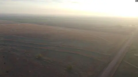
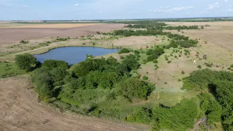
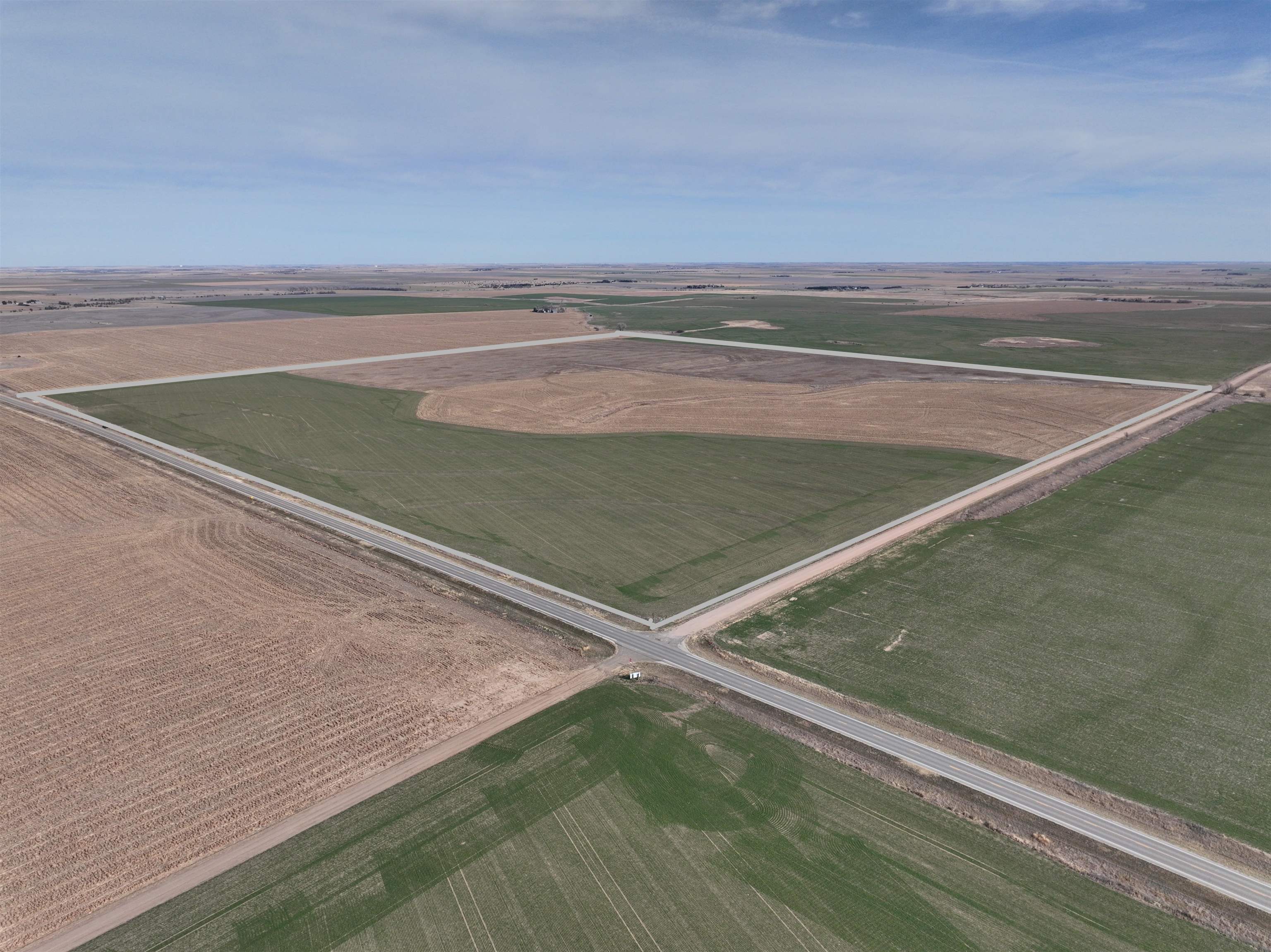
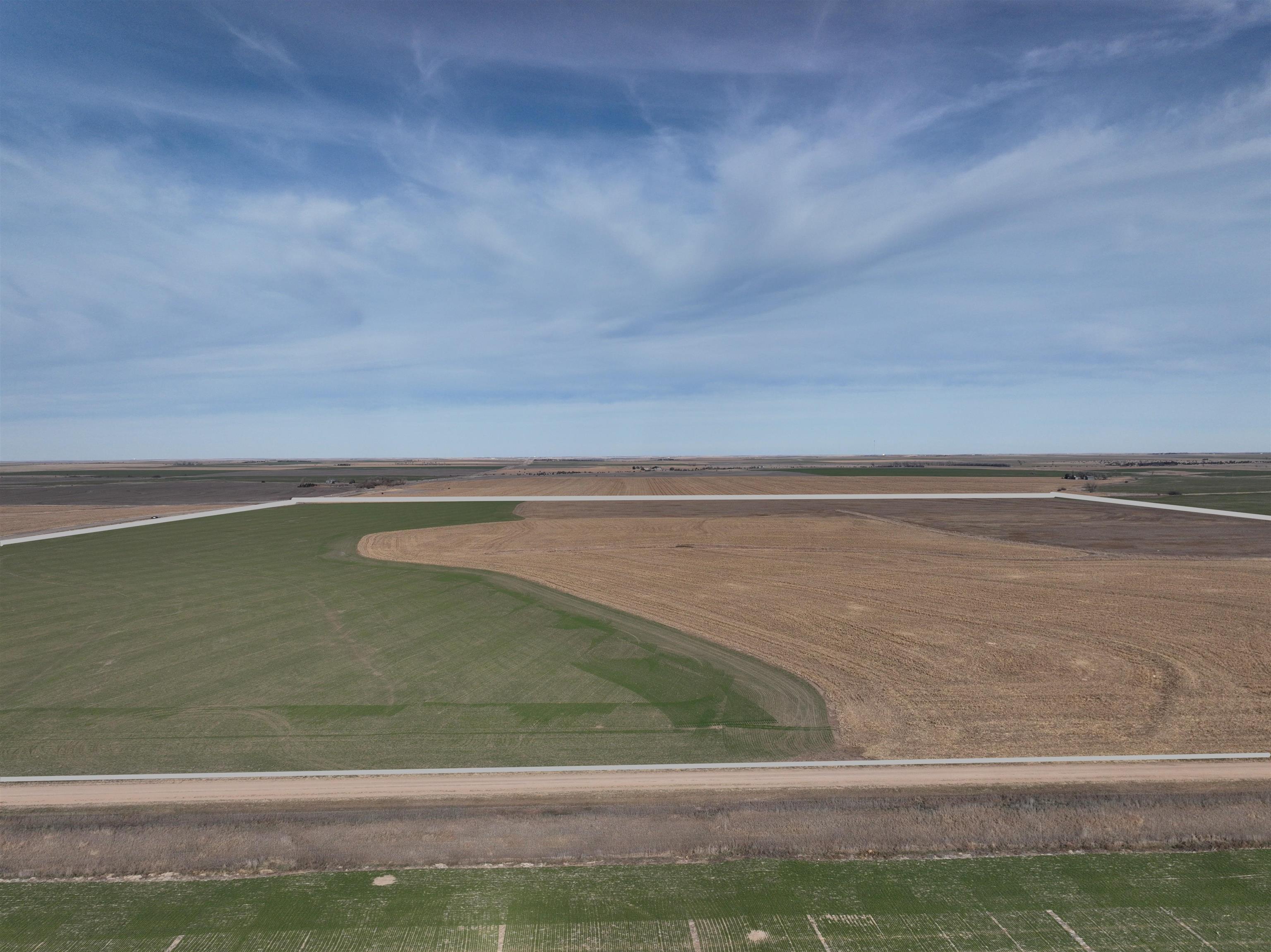
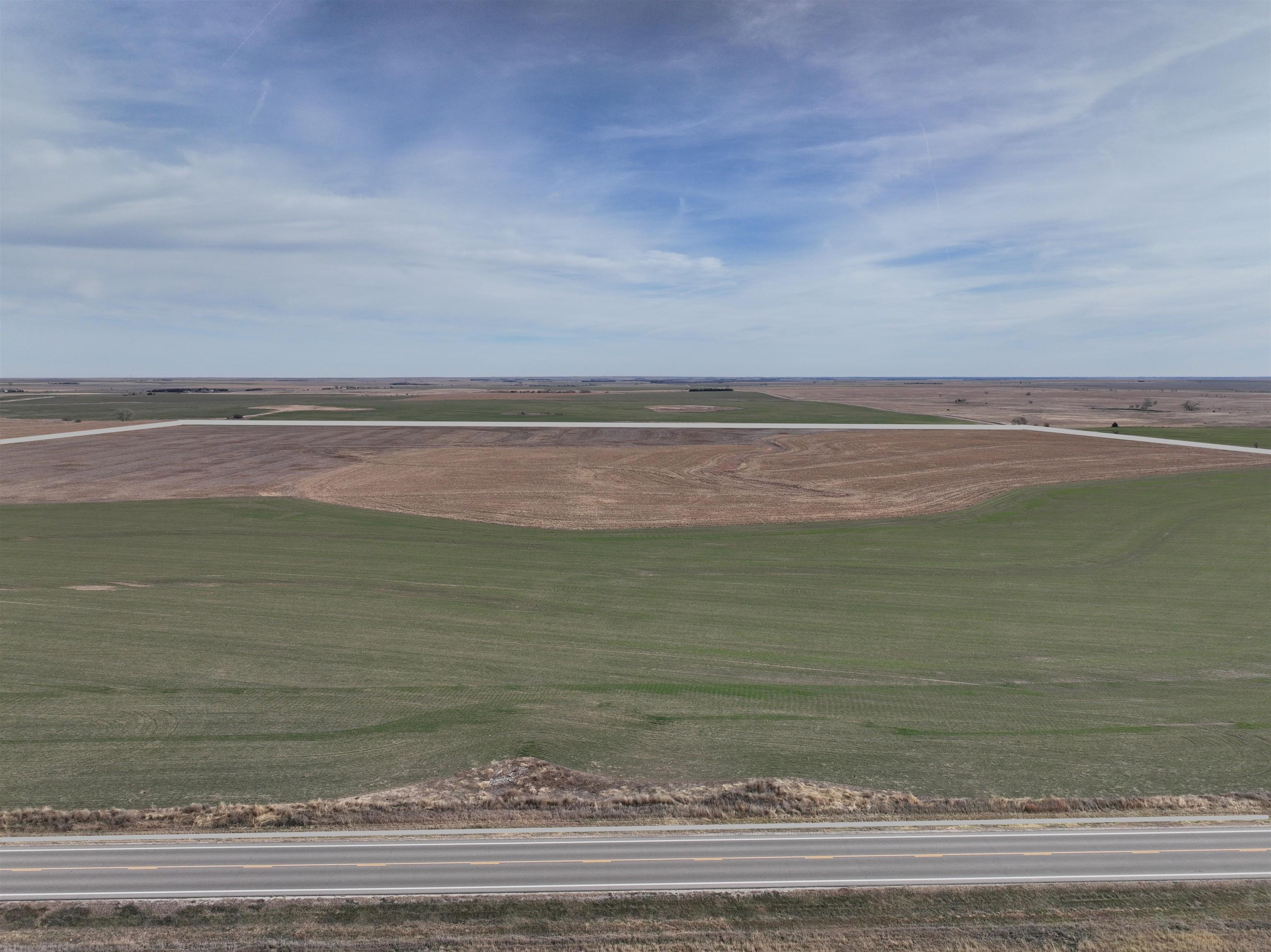
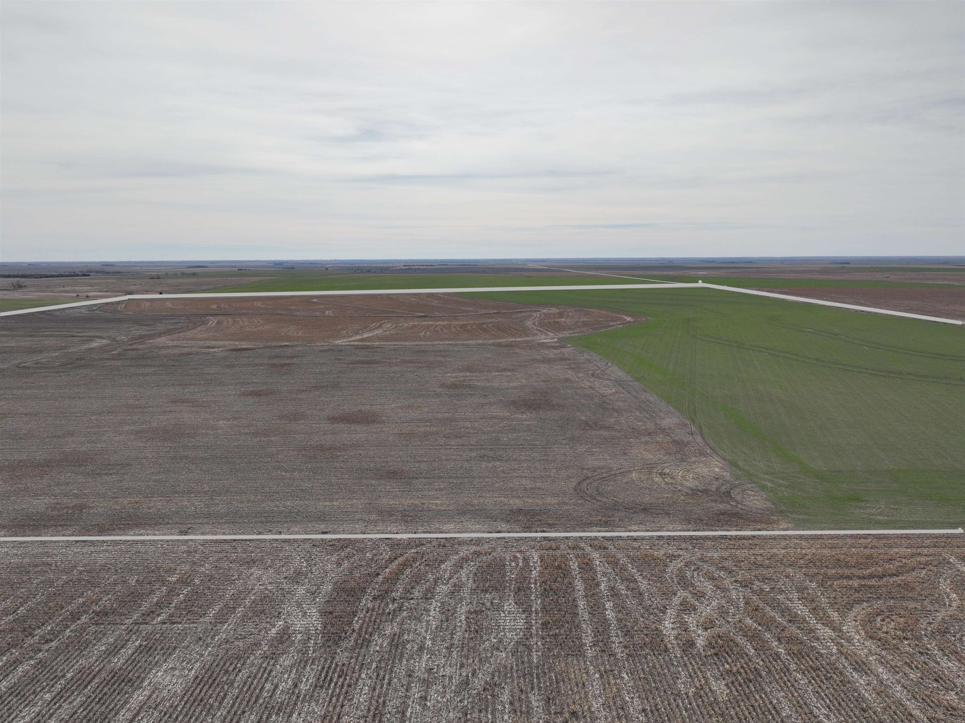
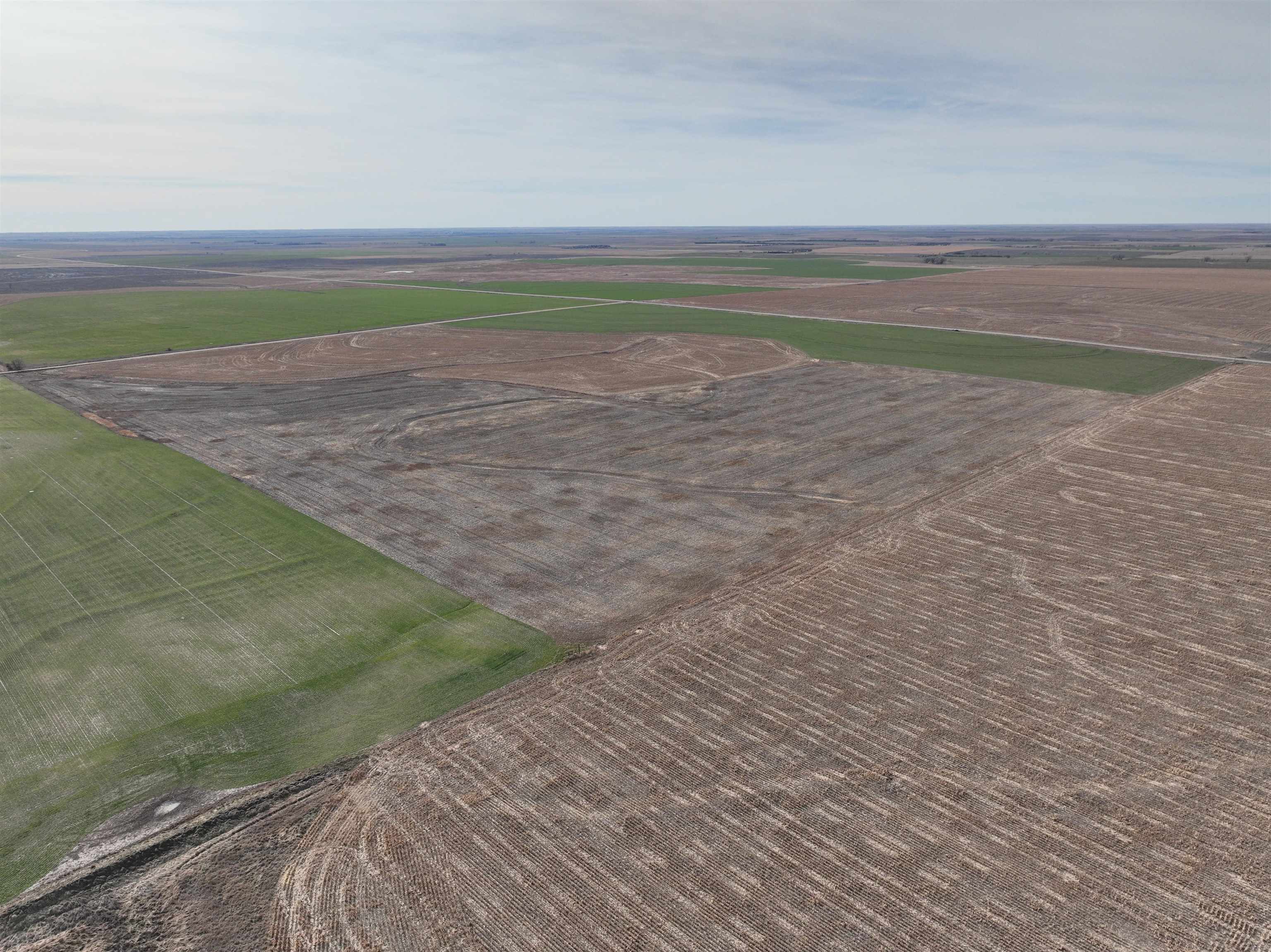
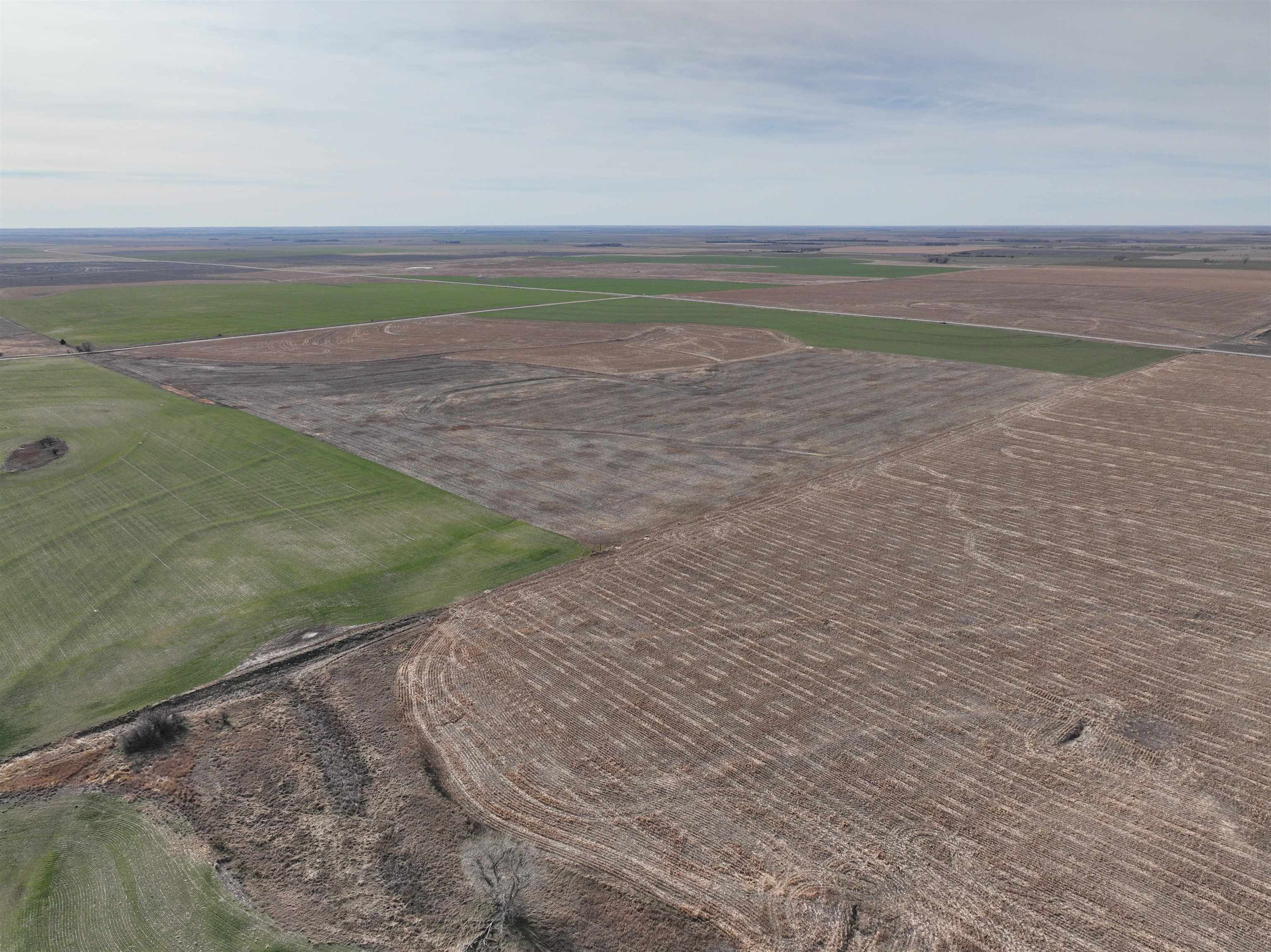
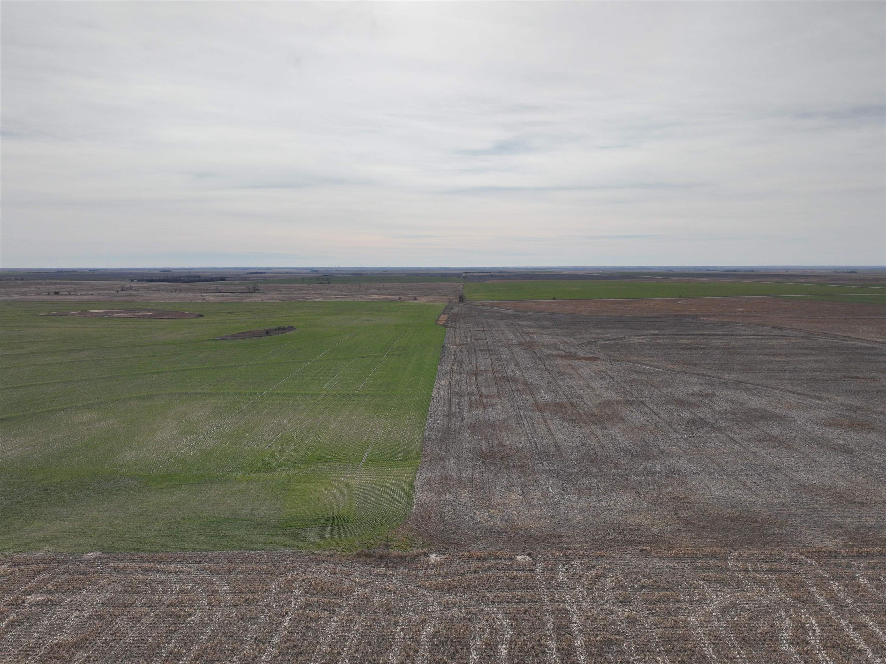
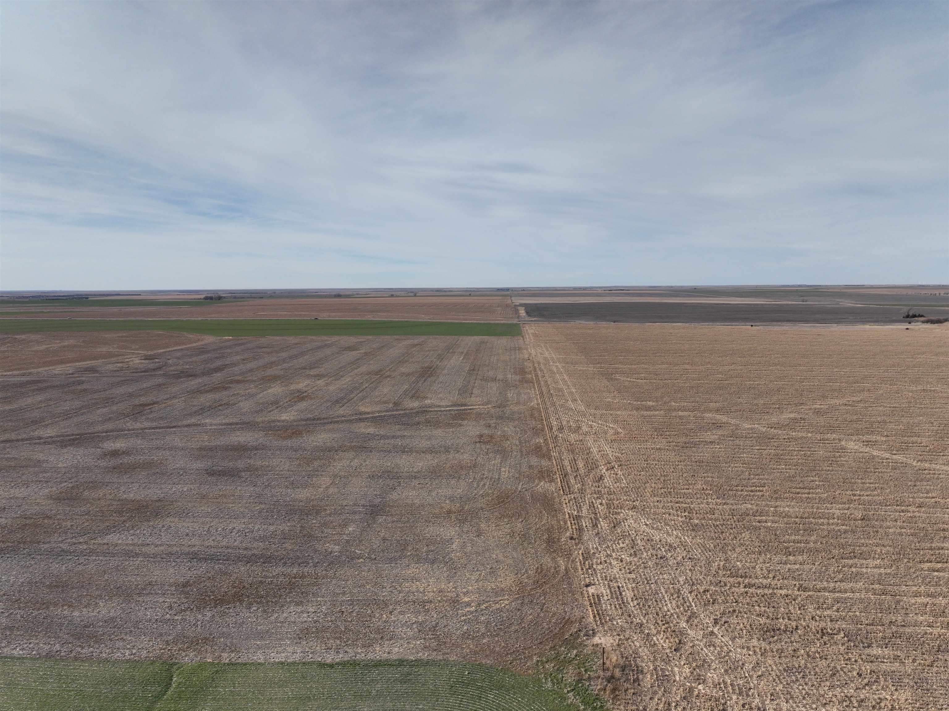
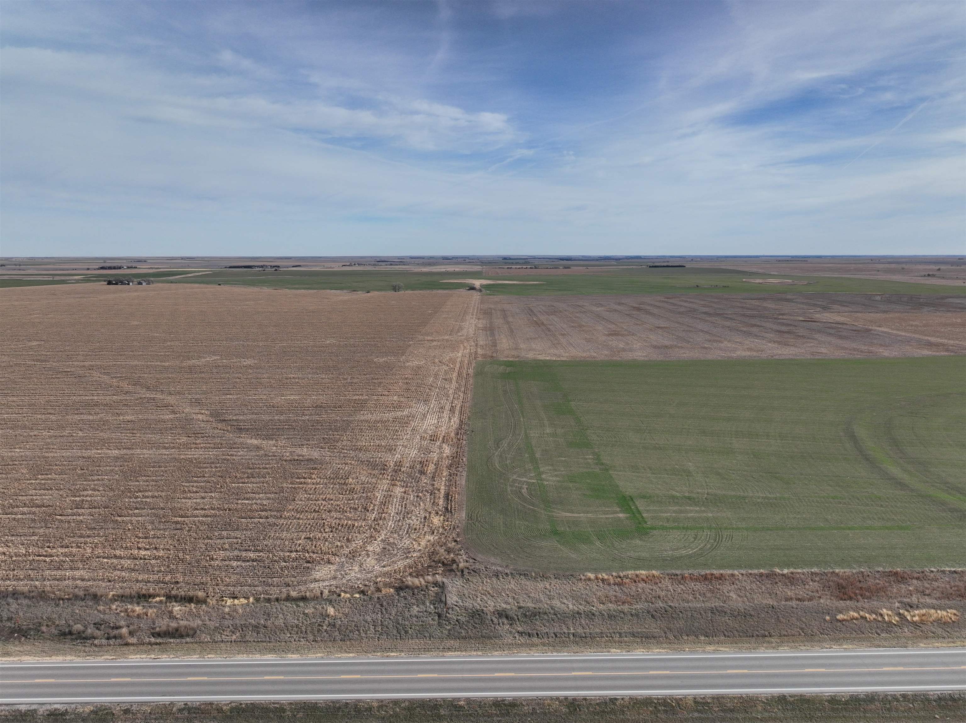
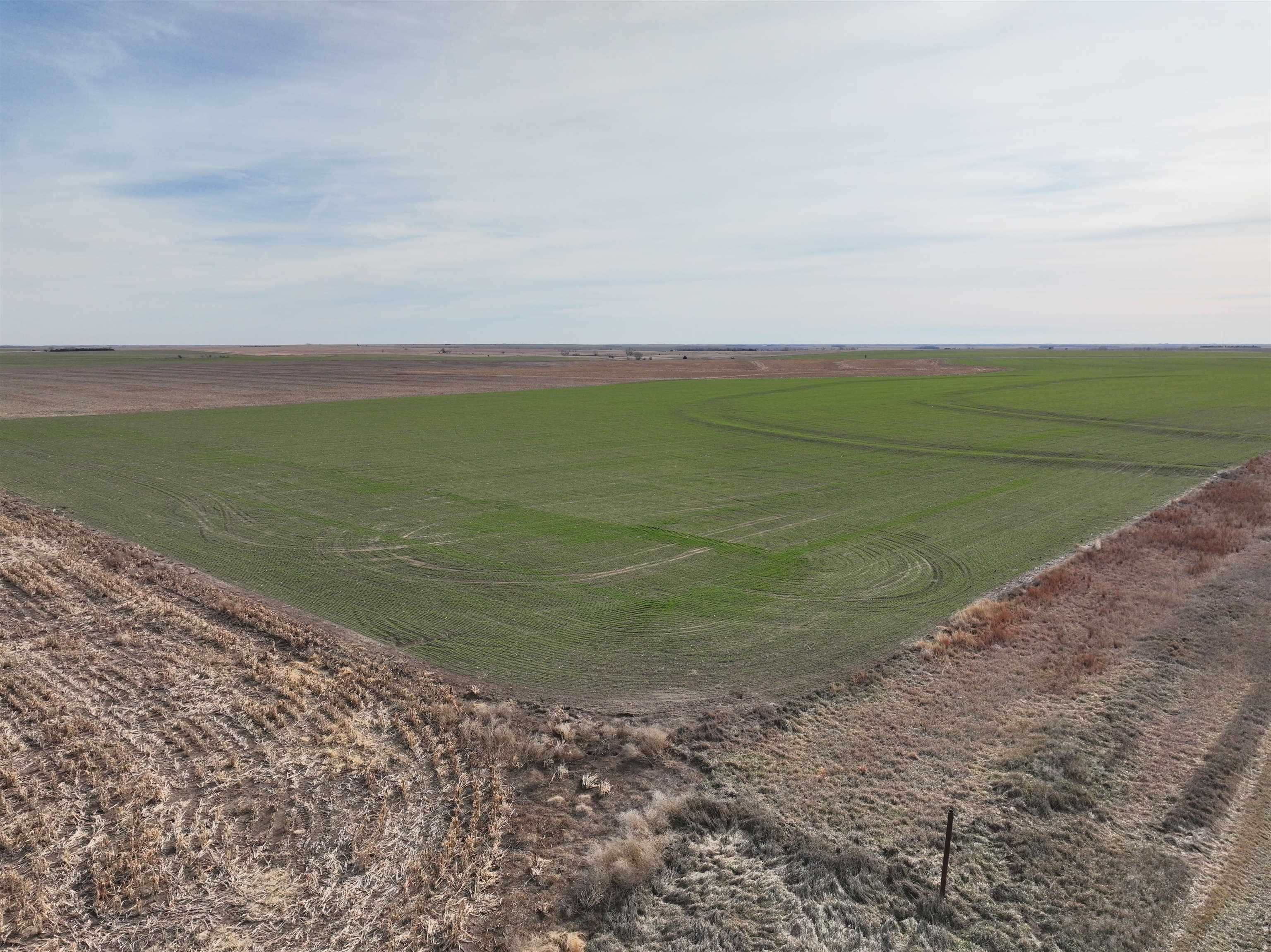
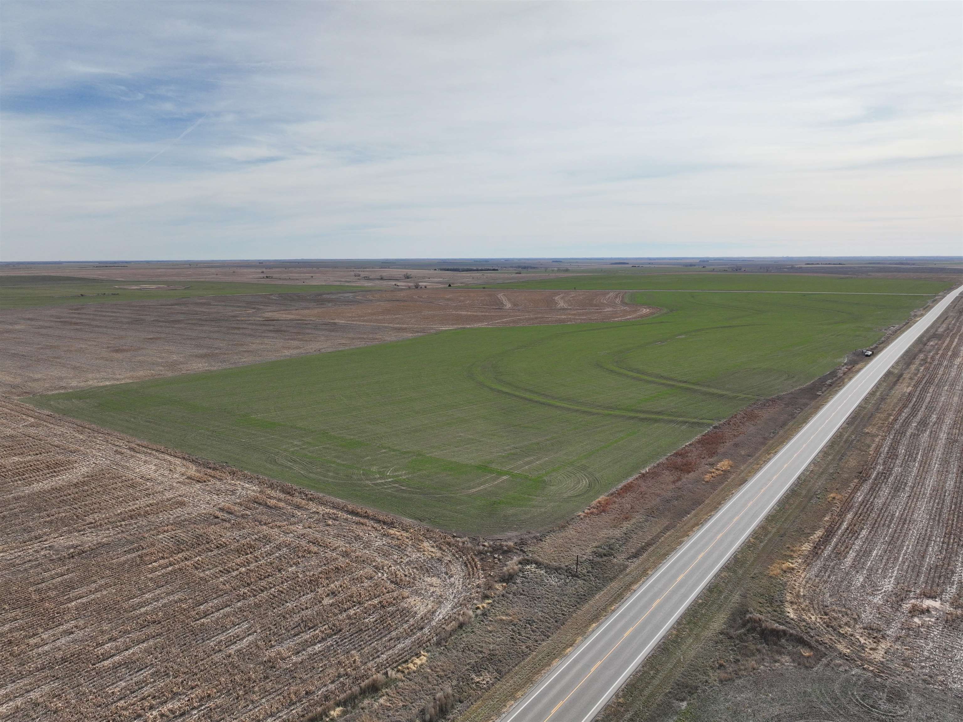
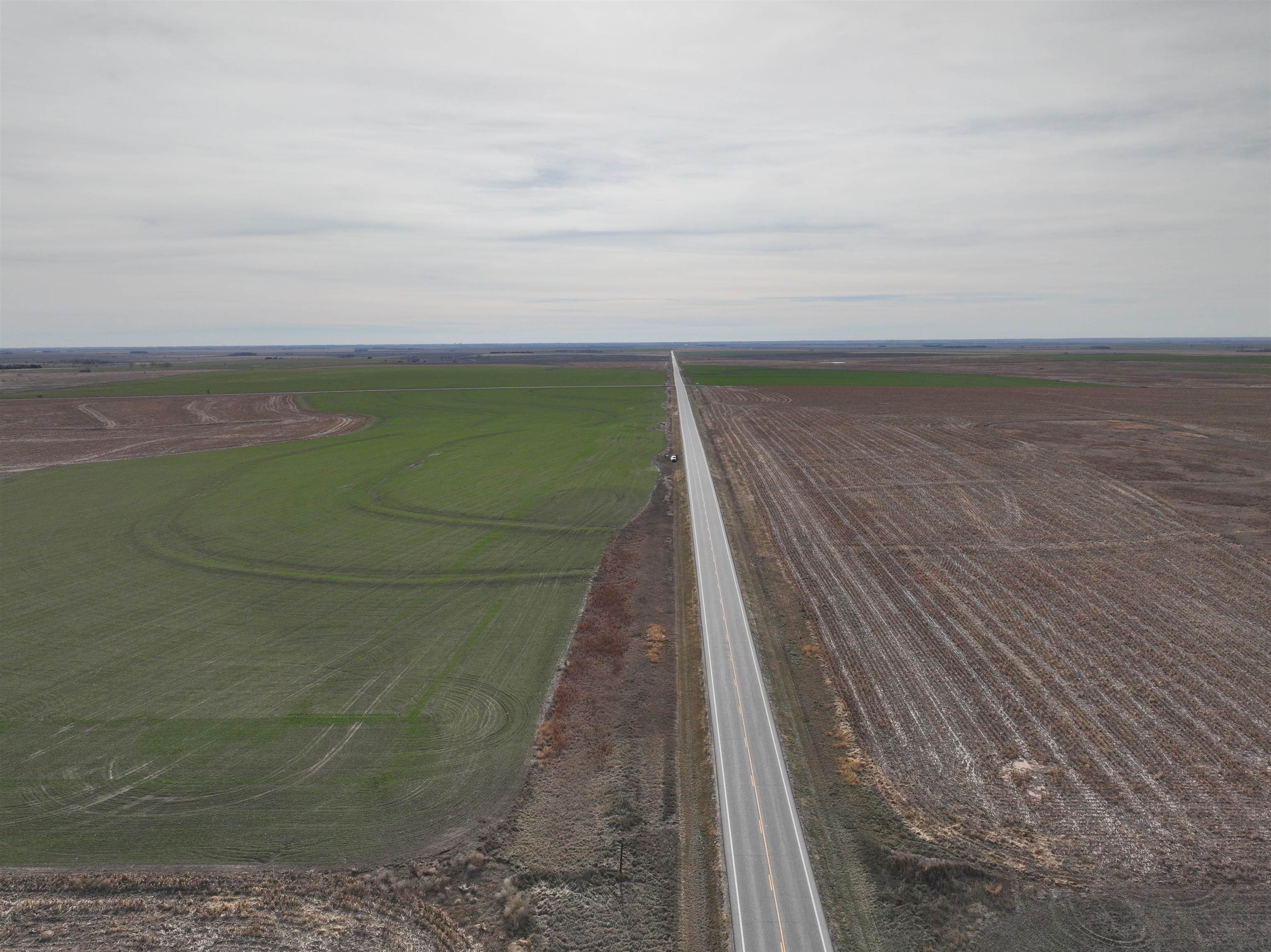
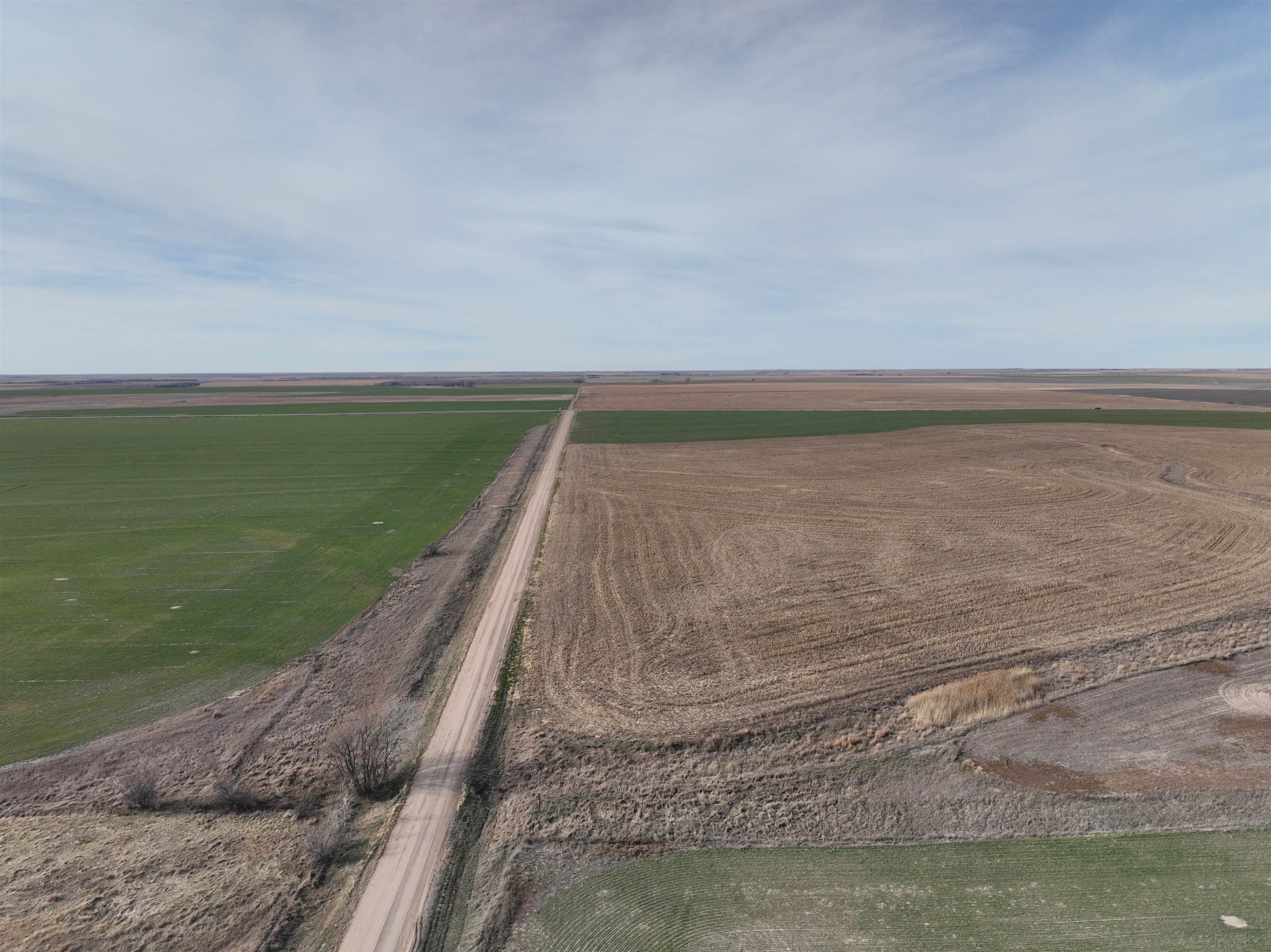
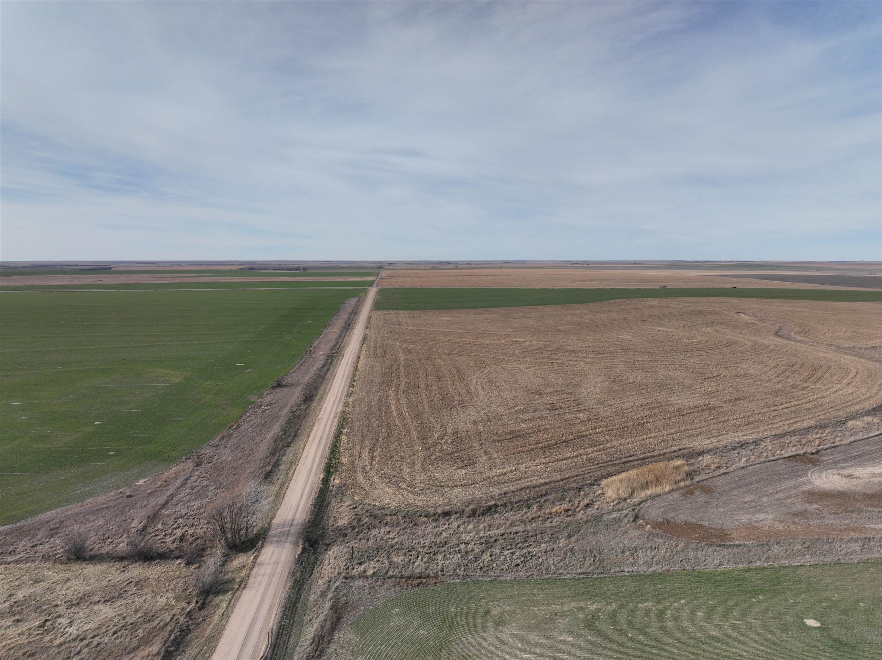
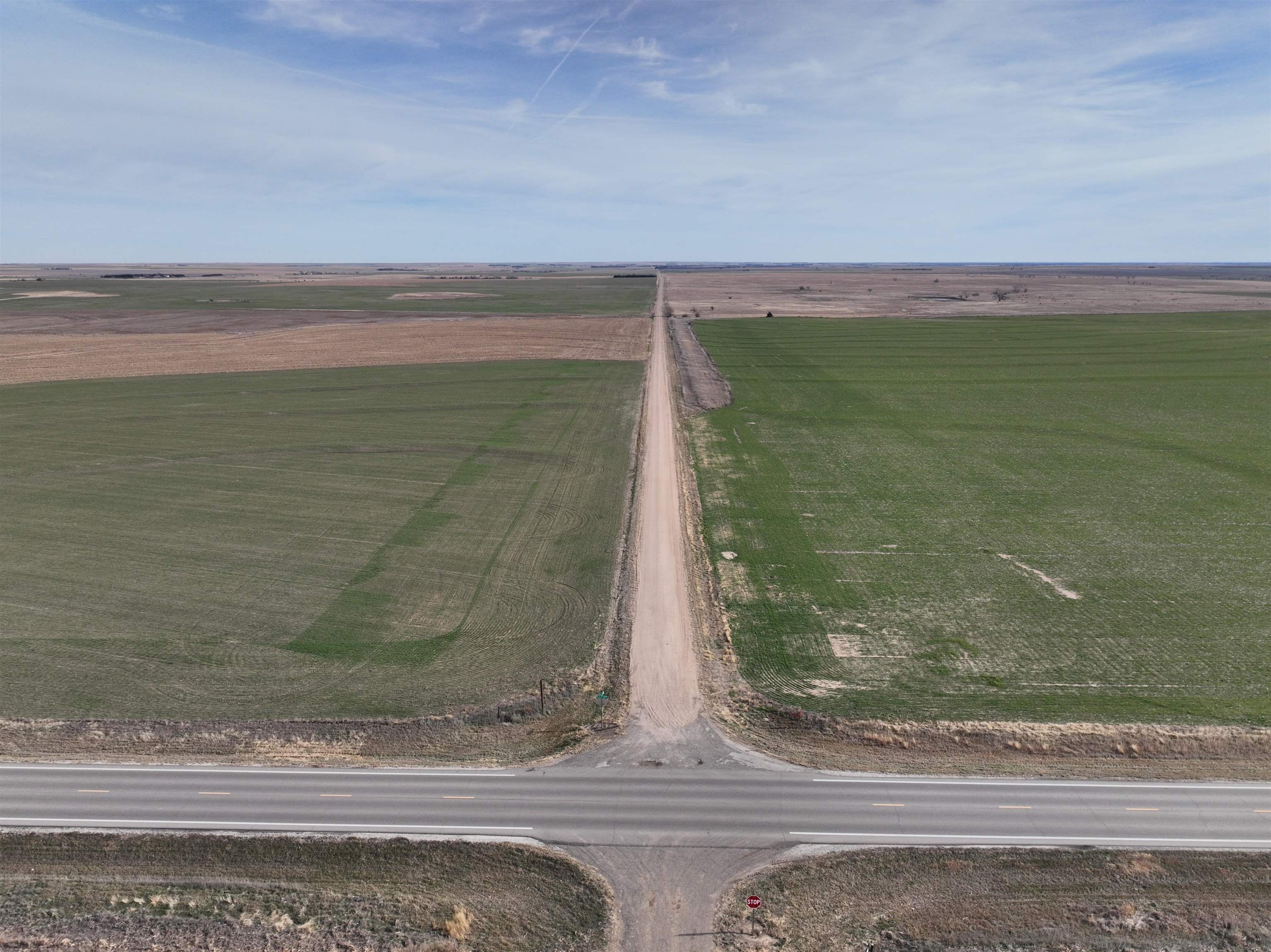
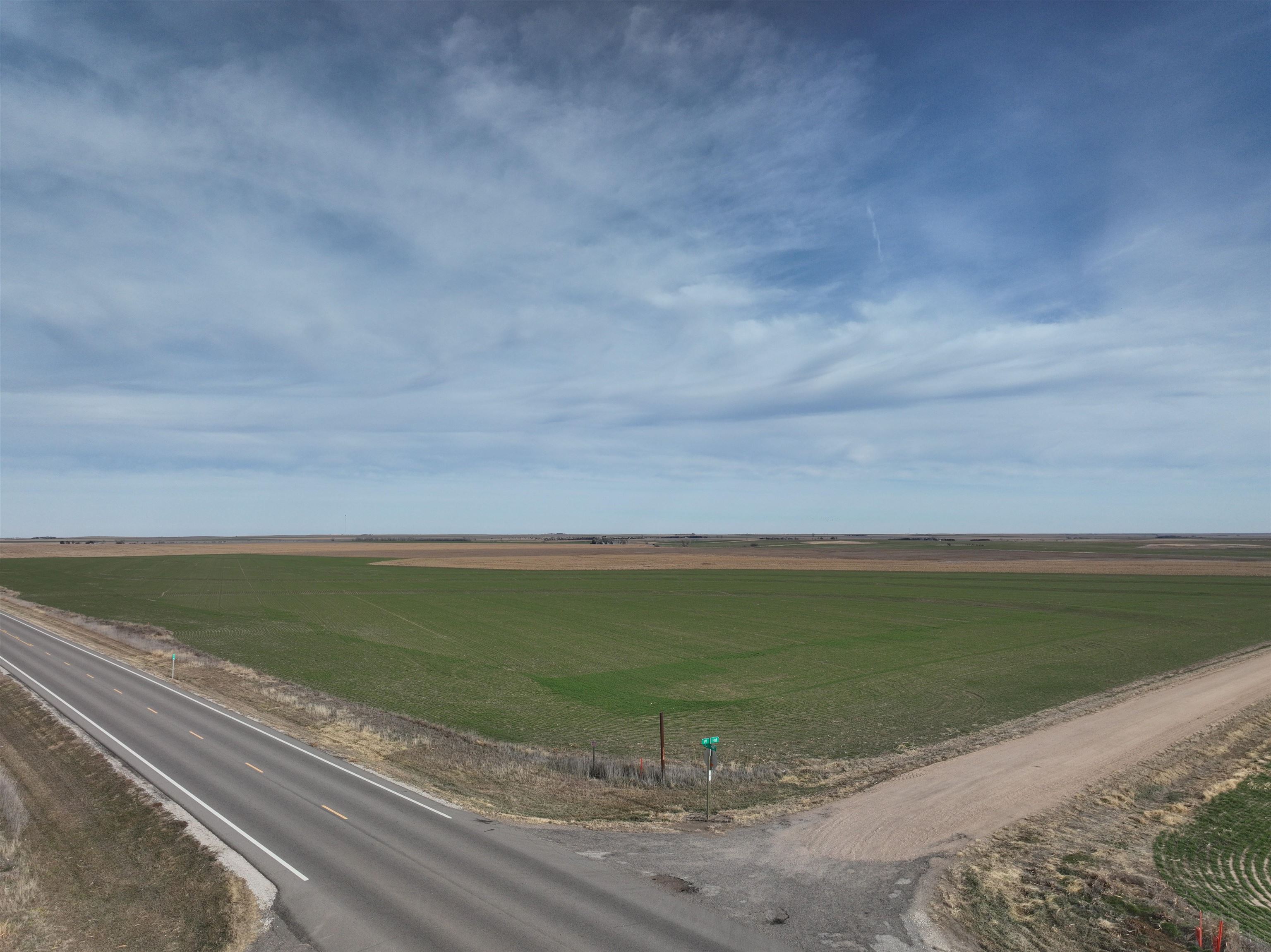
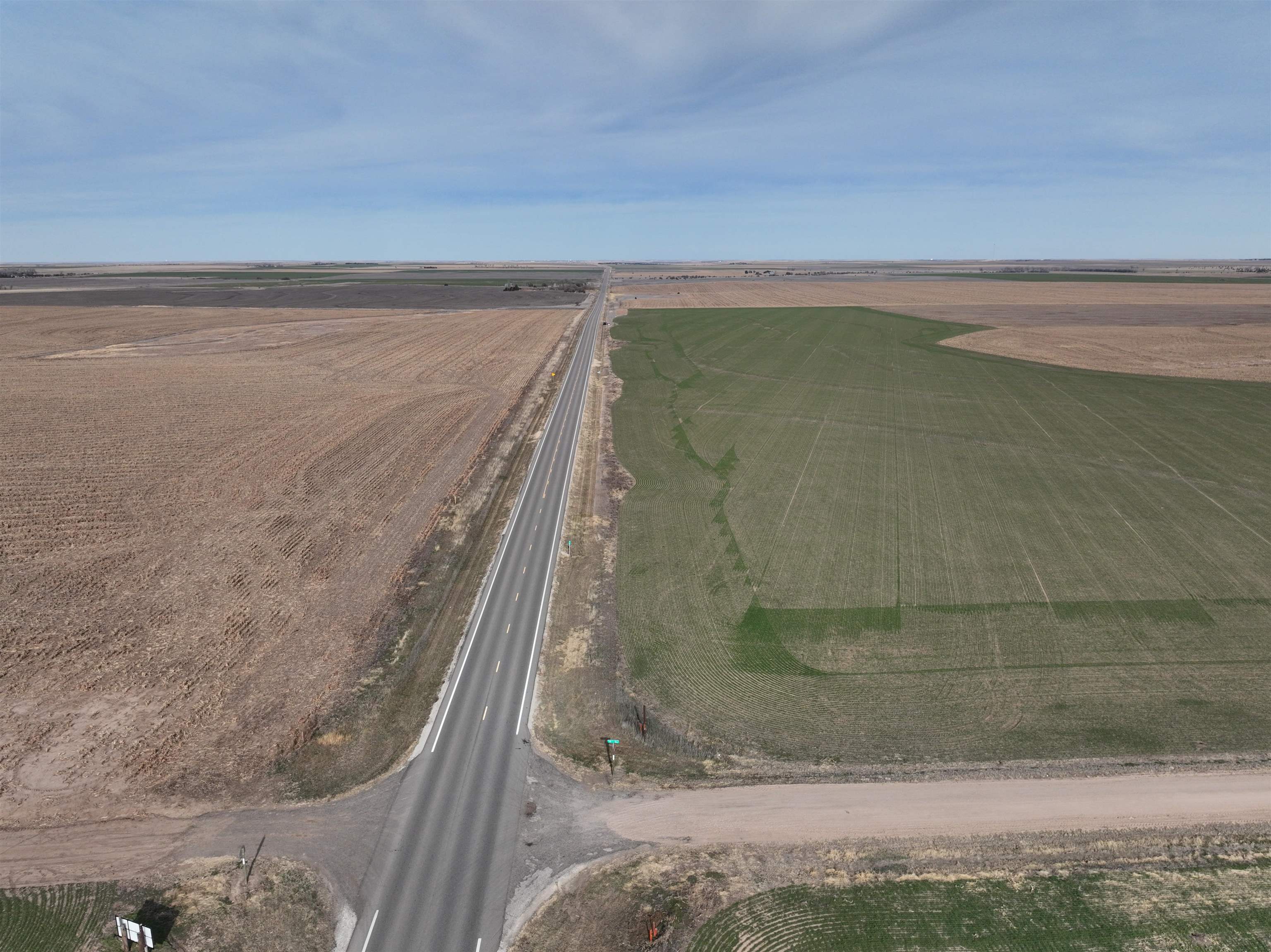
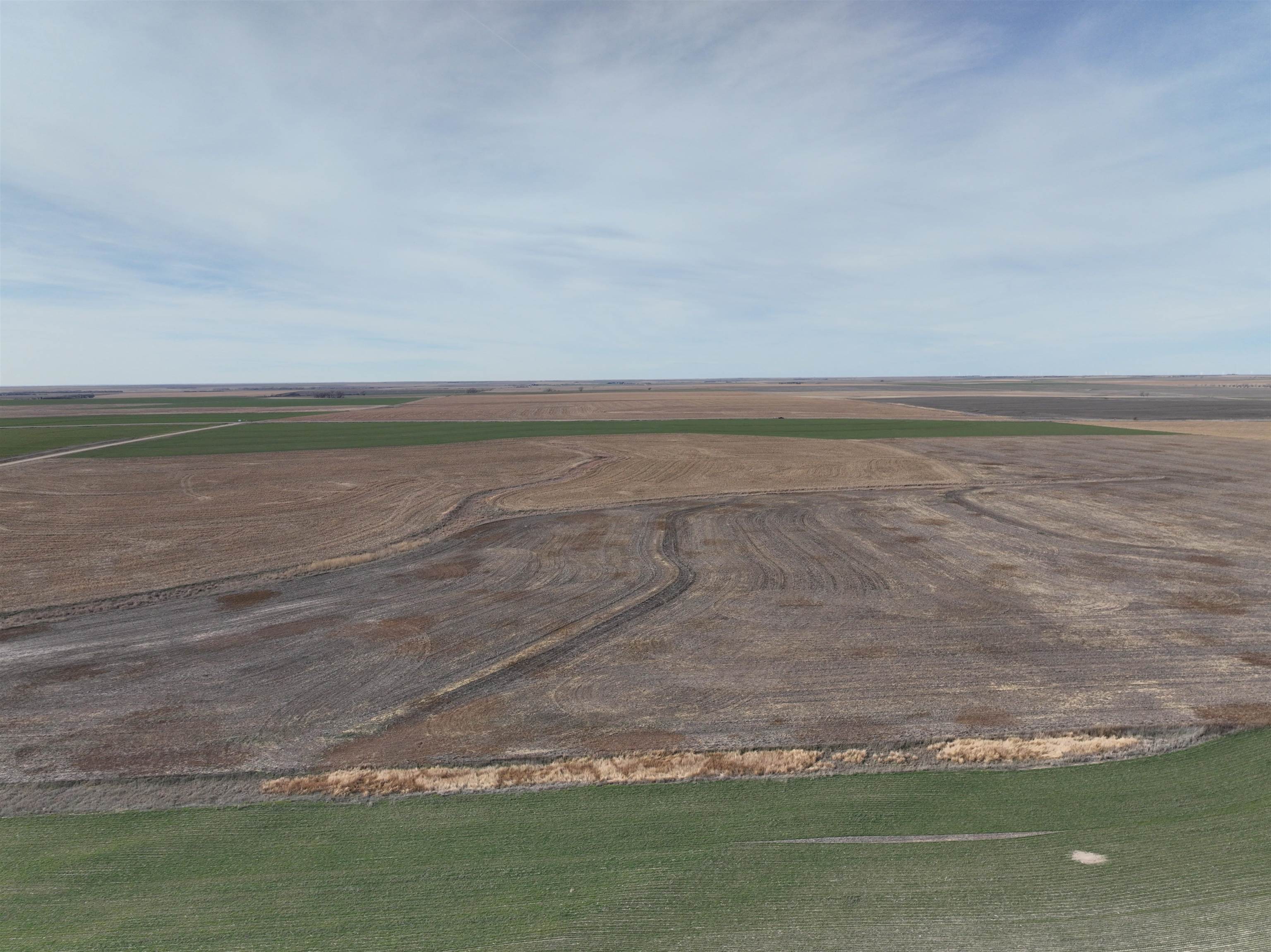
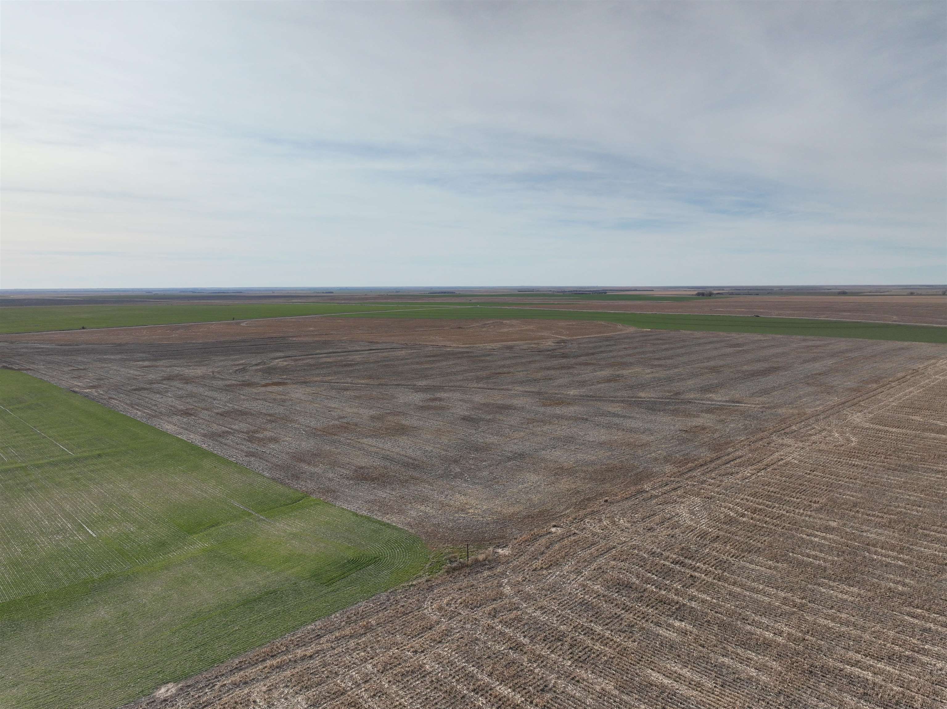
153± acres of Harney silt loam cropland with gently sloping ground suited for row-crop production.
- Added:
- Dec 30, 2025
- Days on Market:
- 178
- Last Refresh:
- Jun 20 at 7:07 am
Property Features for 00000 Us Highway 183
General Information
- Standard status
- Active
- Property subtype
- Land
Listing office National Land Realty Central KS, LLC (316) 777-6620
Listing date Dec 30, 2025
Source Exprealty
Displayed information is deemed reliable but is not guaranteed and should be independently verified.
All listing content including descriptions, pricing, images are the copyrighted material of National Land Realty Central KS, LLC
HighLights
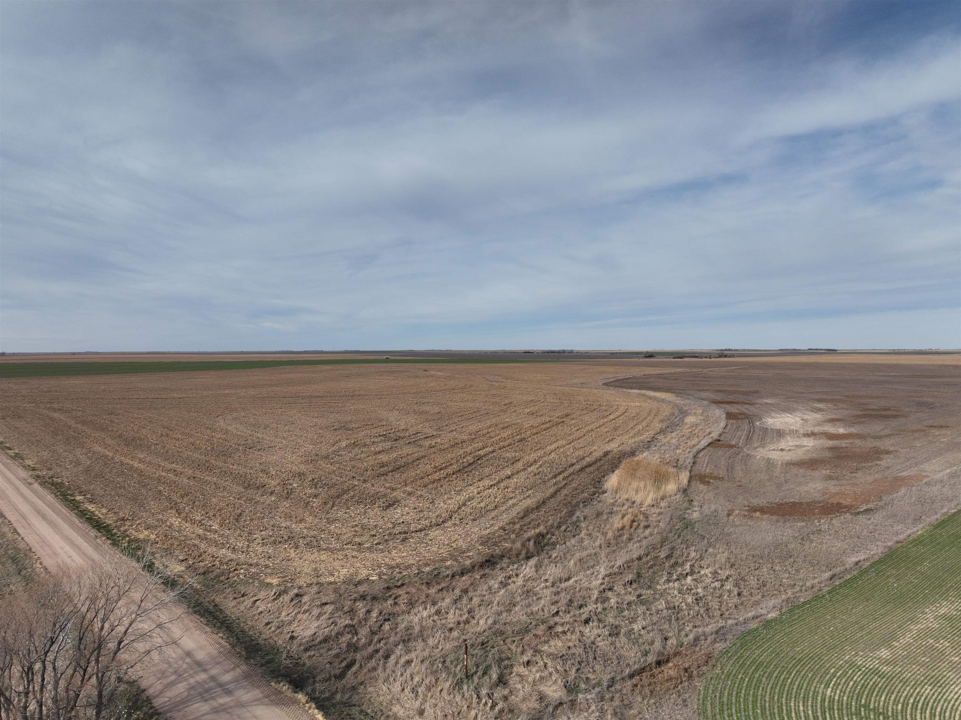
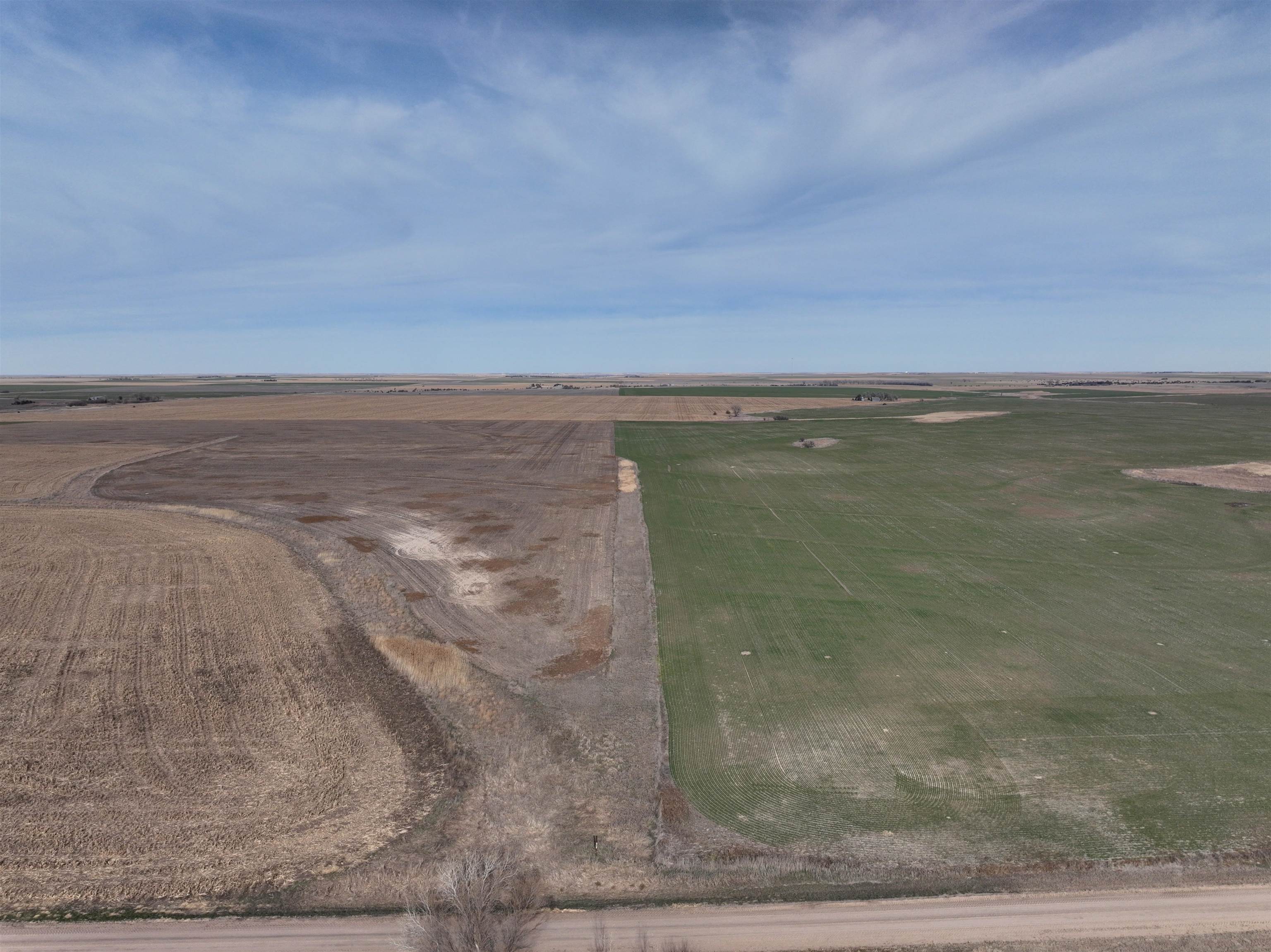
- 153± acres of productive Harney silt loam cropland in Pawnee County, KS
- Weighted average NCCPI of 68.38, indicating above‑average cropland productivity for the county
- Predominantly gently sloping 0–3% ground (about 87%), supporting row‑crop production and moisture‑holding capacity
- Terraces installed about five years ago on the limited rolling acres to help control erosion
- Field rotated in a one‑third rotation; most recently one‑third wheat, one‑third sorghum, and one‑third summer‑fallow
- Well suited for wheat, grain sorghum, soybeans, and dry‑land corn
Overview
The property sits just east of Hwy 183 and just north of West Road (W-Rd) in Pawnee County, Kansas, providing straightforward rural access aligned with established roadways.
The tract is positioned for practical dry-land row-crop use, including wheat, grain sorghum, soybeans, and dry-land corn. Its soil characteristics and existing erosion-control improvements make it a fit for owner-operators seeking reliable production ground or investors looking for managed cropland suited to common regional rotations. Contact the listing broker for additional details on the ground and management history.
Current Use by Public Records
Map
- City
- Larned
- County
- Pawnee
- State
- Kansas
- Longitude
- -99.3143
- Latitude
- 38.159602