0000 R5 Road, Larned, KS 67550
- Added:
- Jun 16, 2026
- Days on Market:
- 11
- Last Refresh:
- Jun 26 at 2:06 am
Property Features for 0000 R5 Road
General Information
- Property type
- Farm
- Property subtype
- Farm
- Zoning
- 300
- Parking features
- Garage
- Standard status
- Active
- Lot size
- 195.00 Acres
Taxes and HOA fees
- Tax Year
- 2025
- Tax Annual Amount
- 758
Building Details
- Architectural style
- Other
Listing agent Cody Crook (620) 377-5022
Listing office Red Cedar Land Company 2 NE 10th Ave., St. John, KS (620) 377-5022
Listing date Jun 16, 2026
Copyright © 2026 My State MLS. All rights reserved. All information provided by the listing agent/broker is deemed reliable but is not guaranteed and should be independently verified.
HighLights
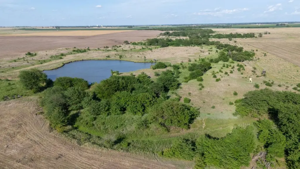
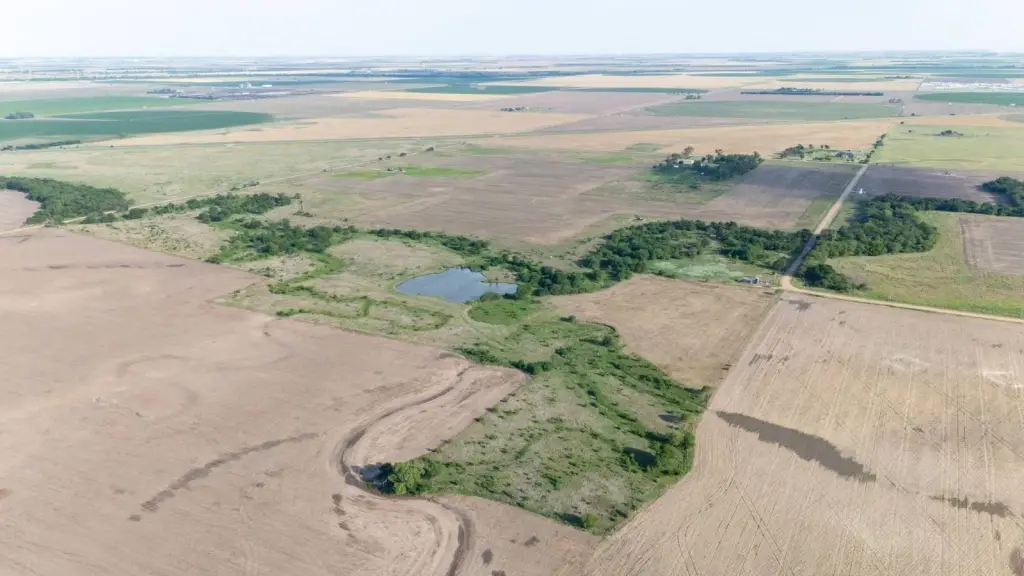
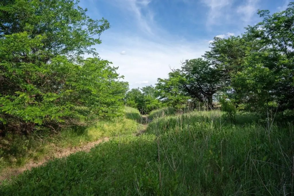
- 195+/- acre conservation‑minded farm with Ash Creek meandering across the northern portion for nearly a mile of creek‑bottom travel
- 64.3+/- acres tillable with Hord & New Cambria silt loams (minimal slope), currently leased year‑to‑year at $60/acre
- CRP/Upland Birds SAFE enrollment: 57.57+/- acres; contracts expire 09/30/2026 and are up for renewal
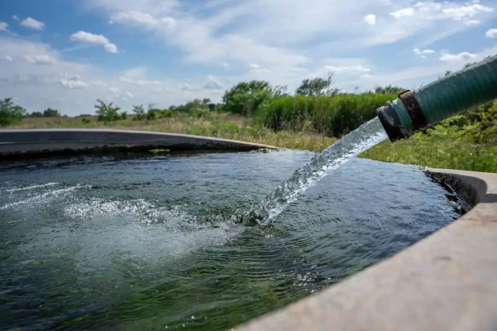
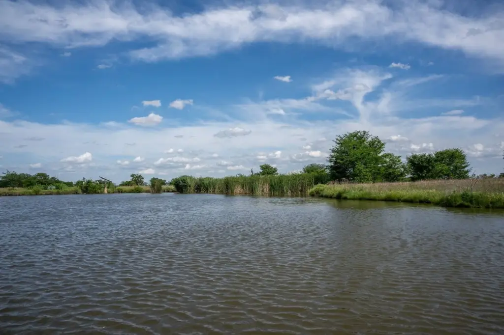
- Water includes a solar well, a 2+/- acre pond, and Ash Creek with nearly one mile of seasonably wet creek‑bottom
- Income opportunity includes $3,858 annual cash rent from tillable lease and stated intent to re‑enroll CRP on a 10‑year term at $46/acre
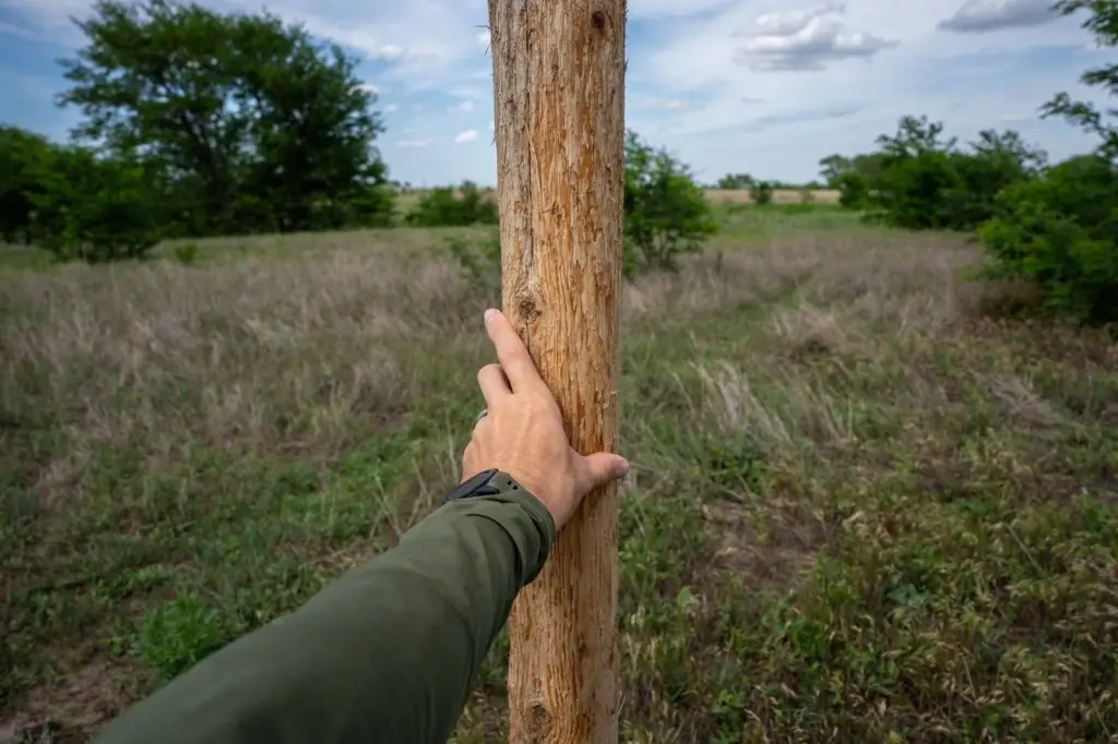
- No mineral rights will convey; property is bordered on three sides by well maintained, low‑traffic county roads
Overview
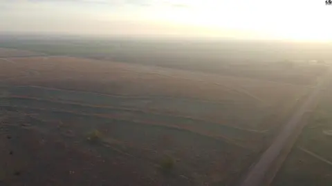
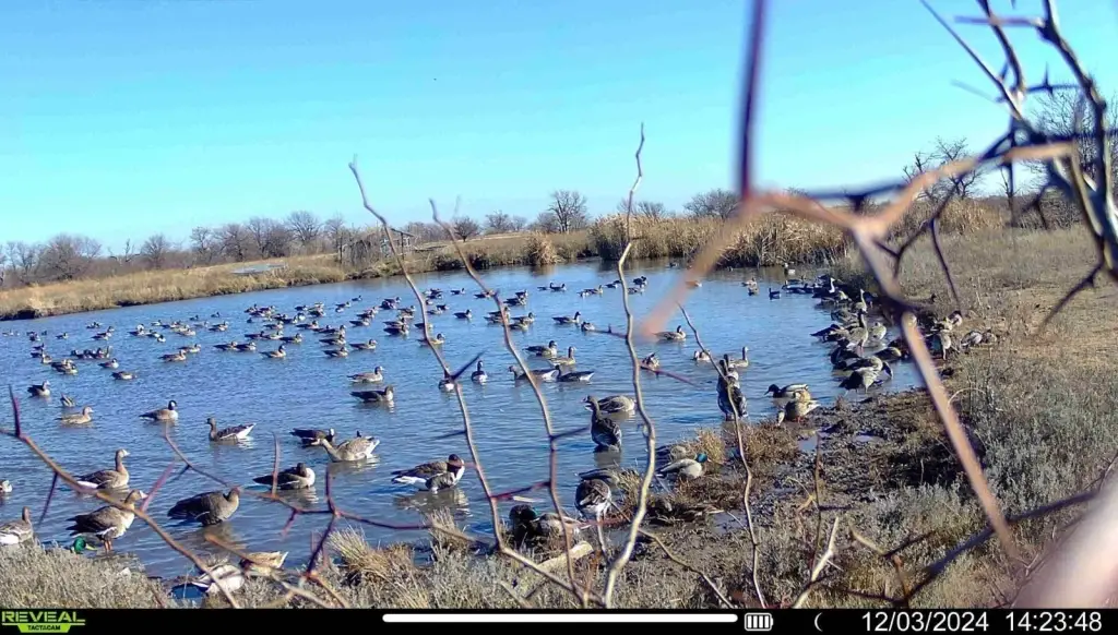
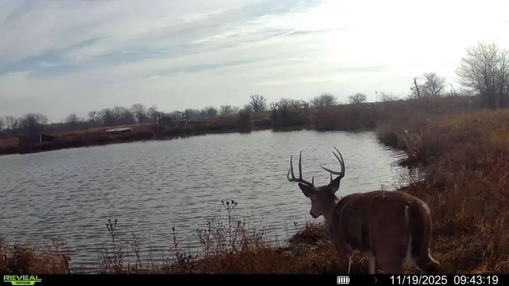
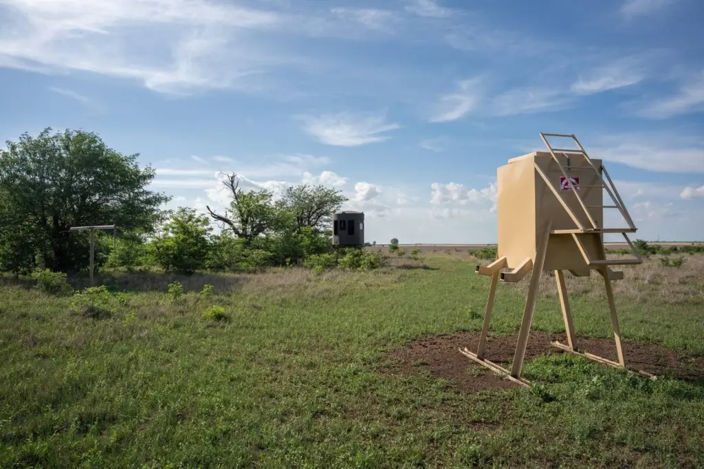
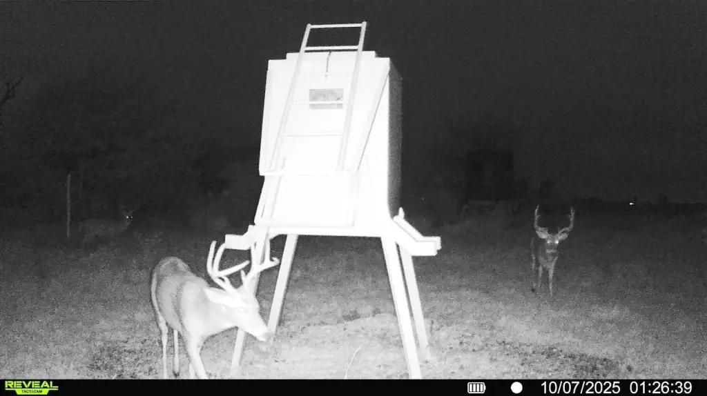
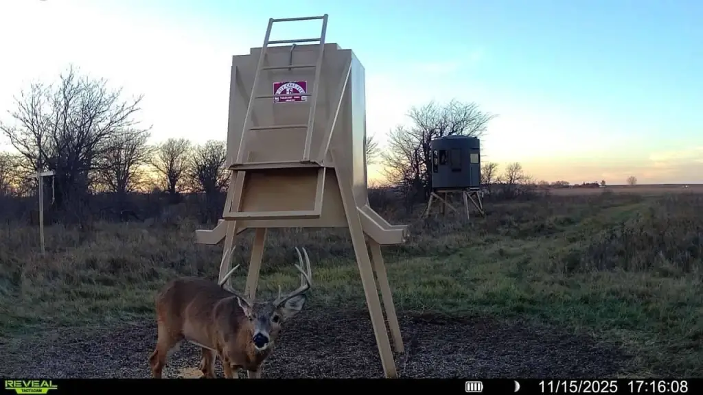
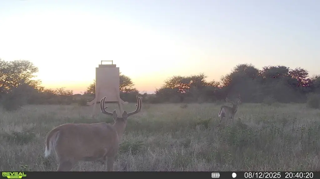
Access is designed for easy travel to overlooks and blinds, with the property bordered on three sides by well maintained, low-traffic county roads. Ash Creek meanders through the property, creating secluded cover along the creek bottom. The farm sits near Cheyenne Bottoms and Quivira National Wildlife Refuges in a migration corridor where multiple species of waterfowl converge each fall and winter.
For buyers seeking an outdoor-focused tract, Ash Creek 195 offers a mix of food sources, cover, and water for hunting opportunities, including Kansas whitetail, turkey, and waterfowl. The presence of productive soils and existing year-to-year leasing for the tillable acreage may support a blended operational approach alongside the enrolled grass program. No mineral rights will convey.
Current Use by Public Records
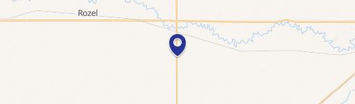
Map
- City
- Larned
- County
- Pawnee
- State
- Kansas
- Longitude
- -99.027
- Latitude
- 38.2435