0 Coal Lane - Tract A, Monterey, TN 38574

- Added:
- May 19, 2026
- Days on Market:
- 46
- Last Refresh:
- Jul 3 at 3:06 am
Property Features for 0 Coal Lane - Tract A
General Information
- Property type
- Land
- Property subtype
- Other
- Parking features
- Garage
- Standard status
- Active
- APN
- 137 001.04
- Lot size
- 635.00 Acres
Taxes and HOA fees
- Tax Annual Amount
- 0
Building Details
- Architectural style
- Other

Listing agent Matthew Carr (865) 567-9829
Listing office National Land Realty, Knoxville, TN 3520 Brandon Lee Dr., Maryville, TN (855) 384-5263
Listing date May 19, 2026
Copyright © 2026 My State MLS. All rights reserved. All information provided by the listing agent/broker is deemed reliable but is not guaranteed and should be independently verified.
HighLights
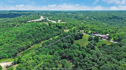
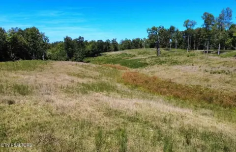
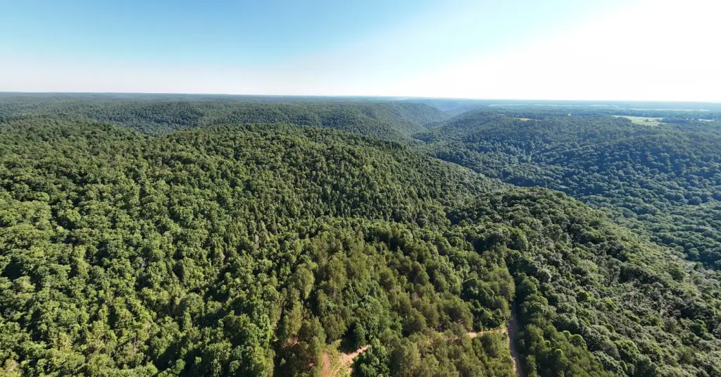
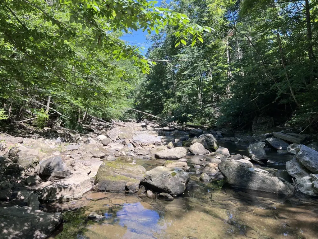
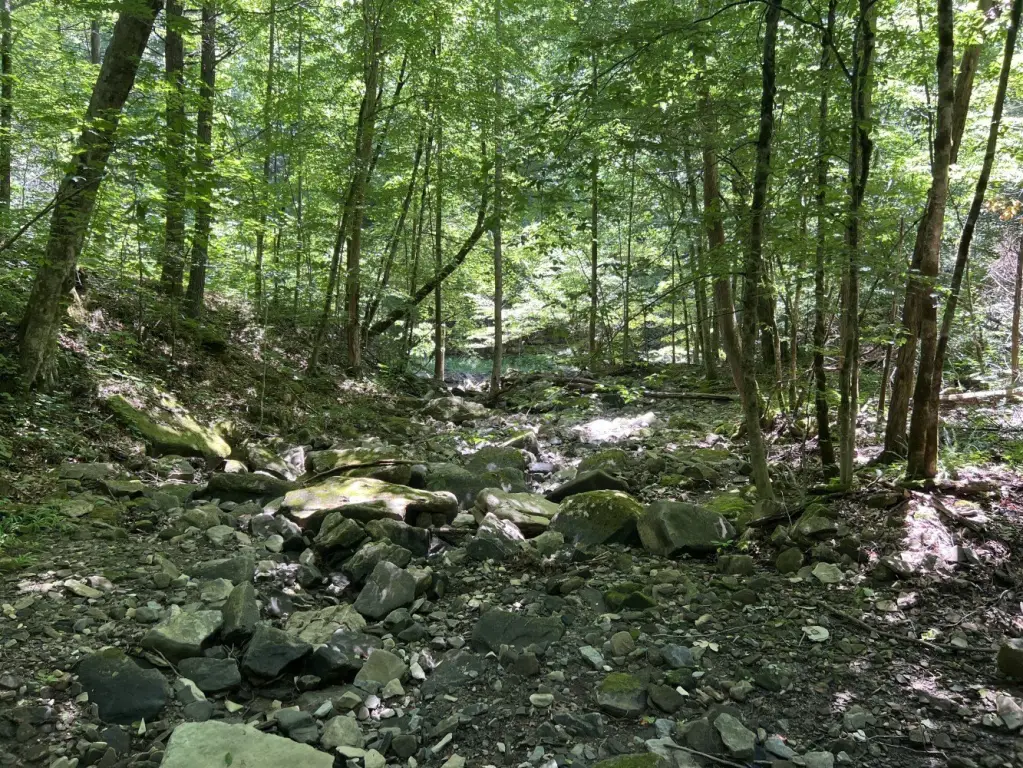
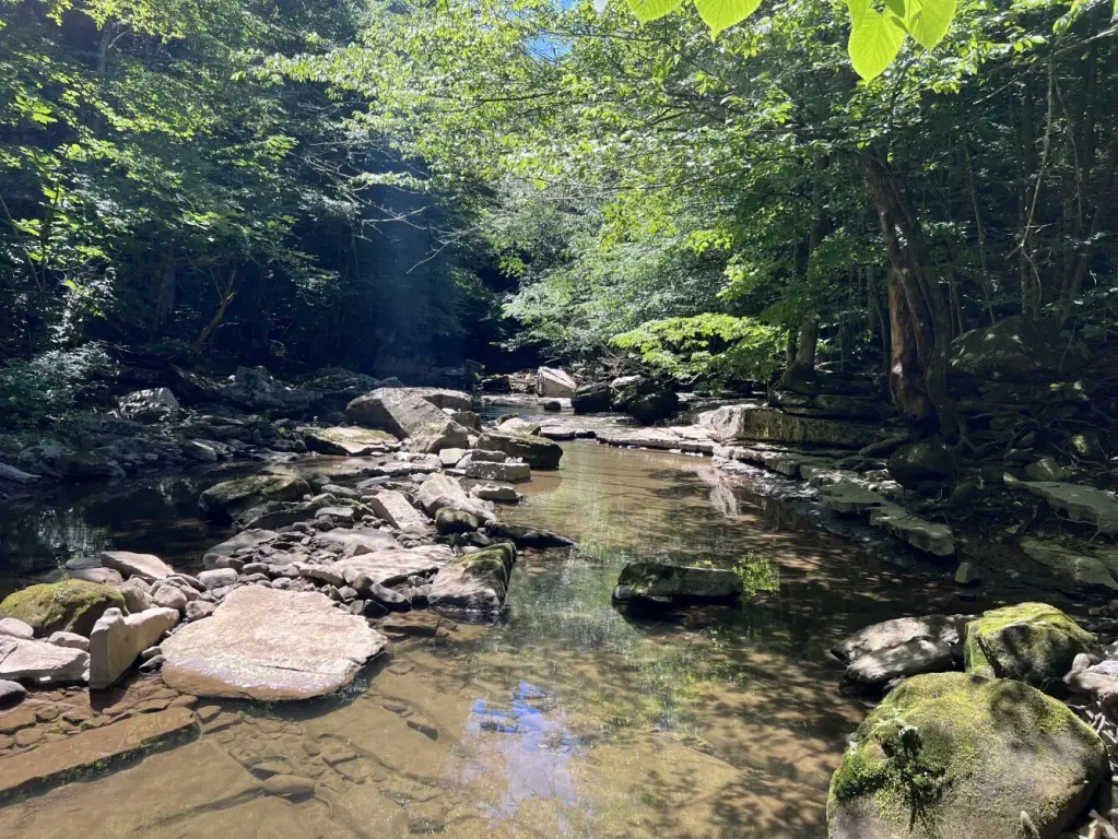
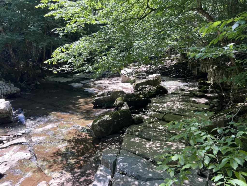
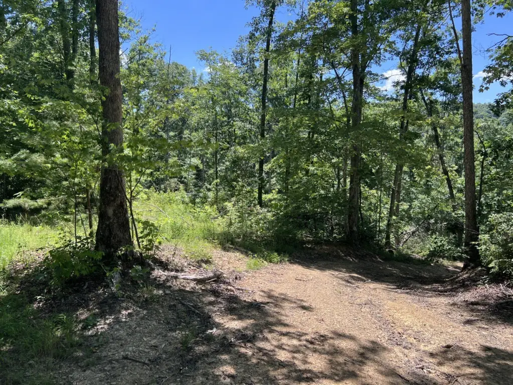
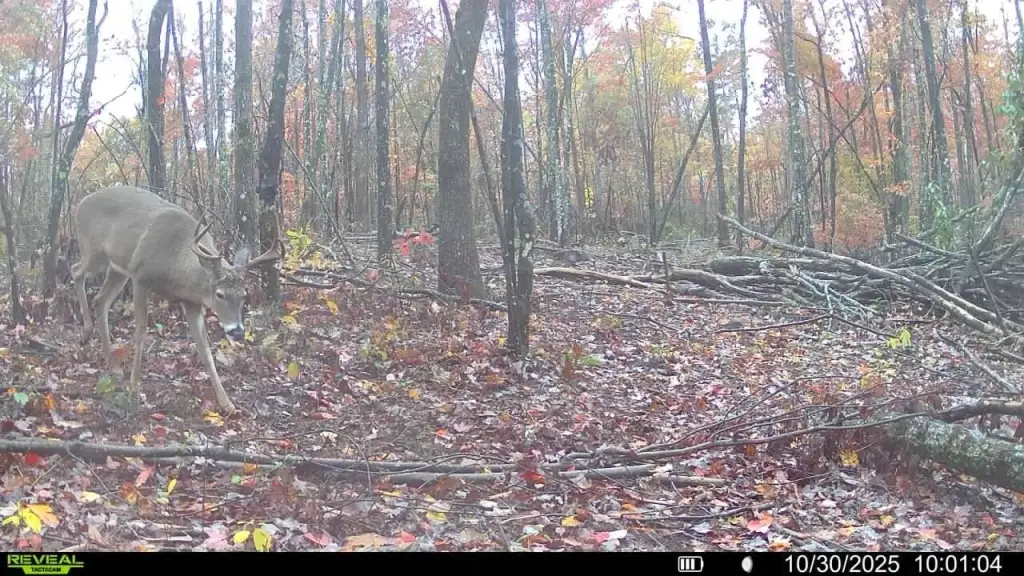
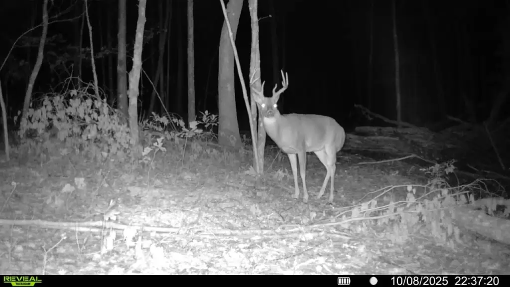
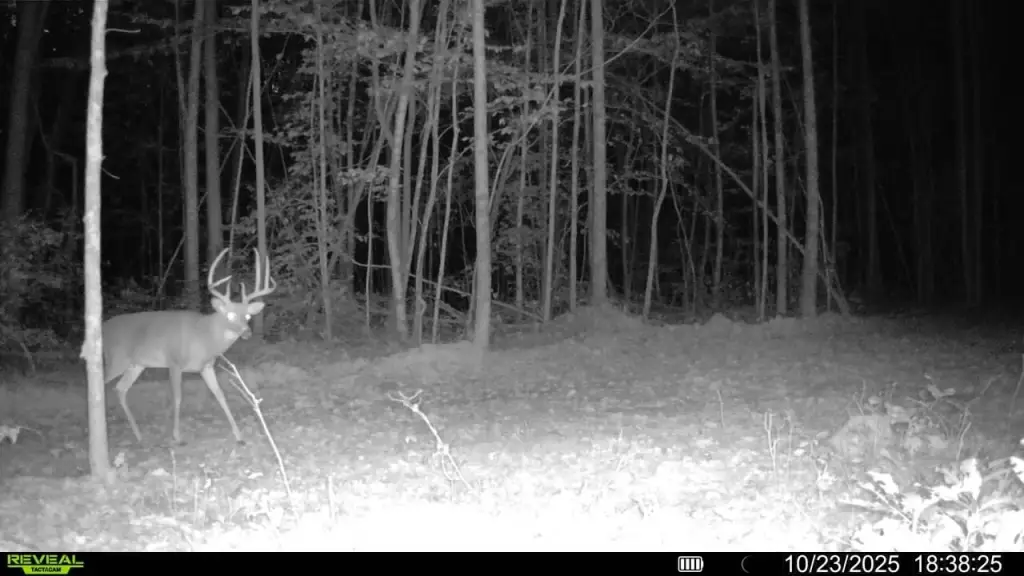
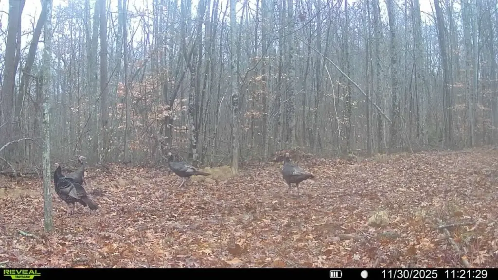
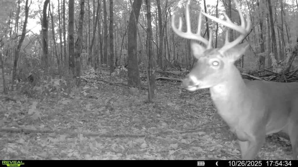
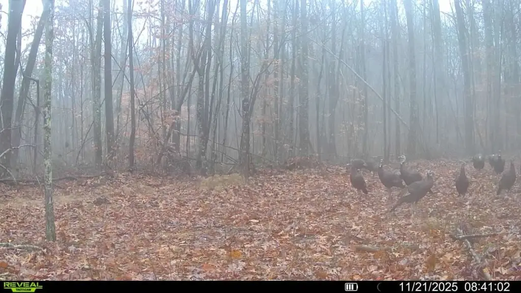
- 635 +/- acre tract in Fentress County, TN with approx. 0.75 mile of frontage along the East Fork Obey River
- Bear Branch forms the northern boundary and feeds into the East Fork Obey River
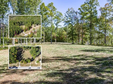
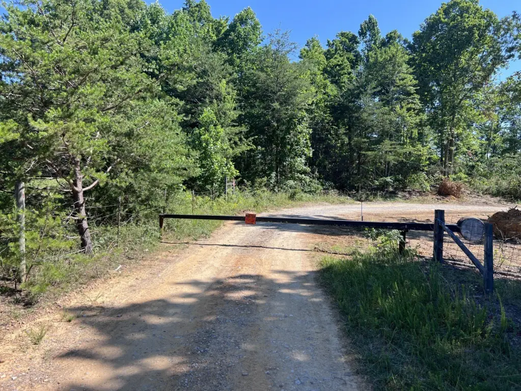
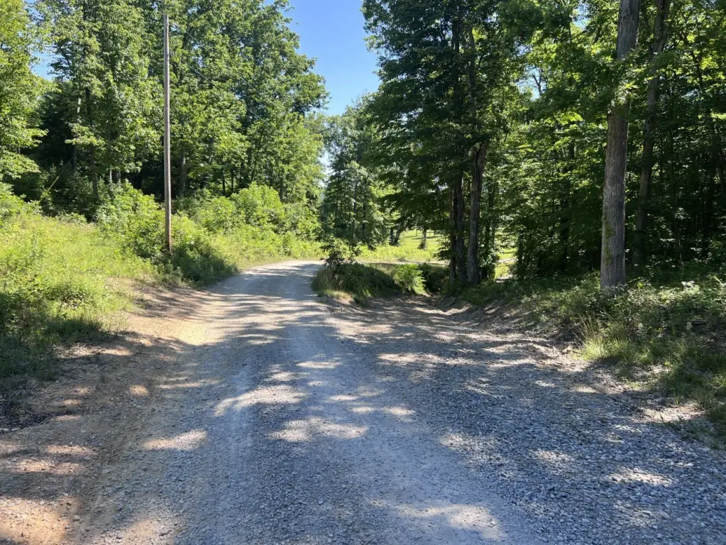
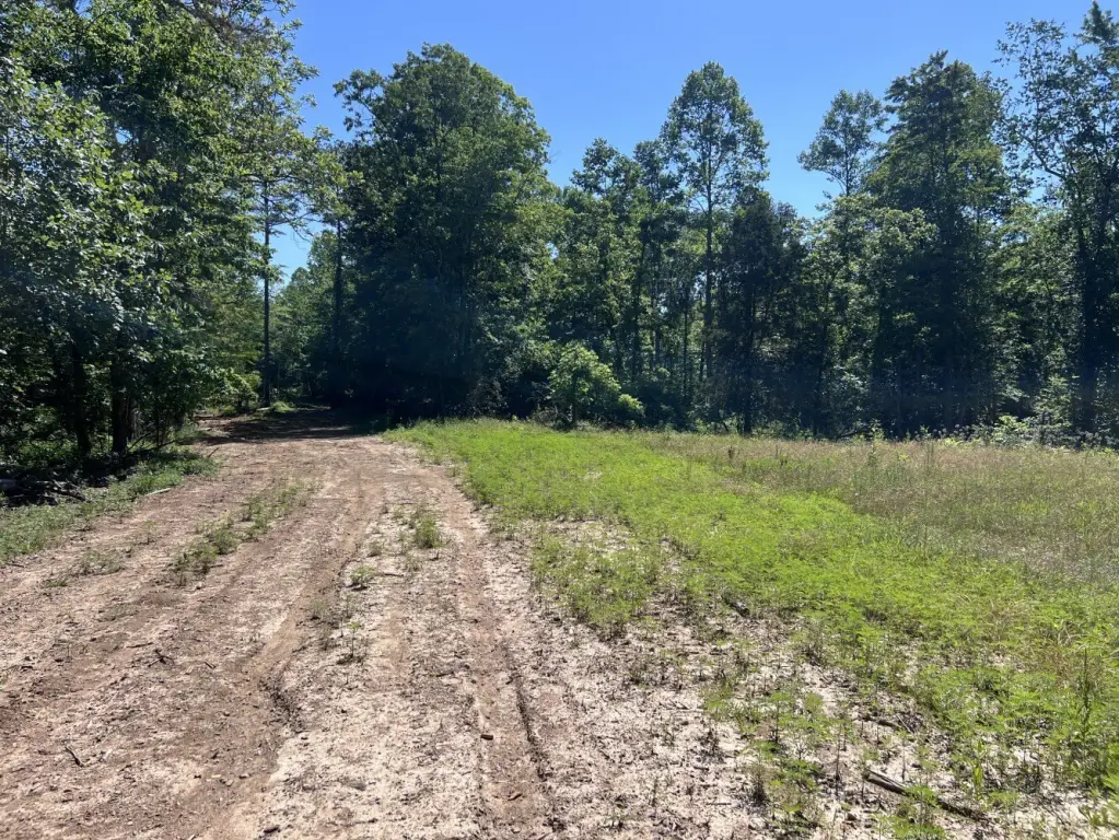
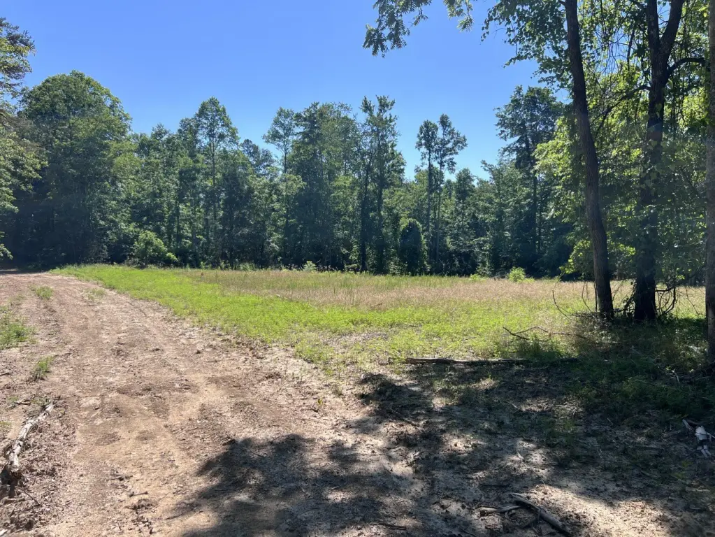
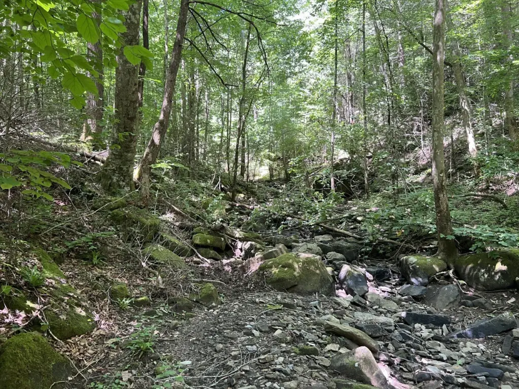
- Extensive interior trails for access throughout the property (hunting, fishing, hiking, ATV riding, exploring)
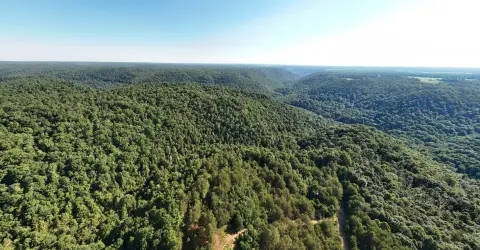
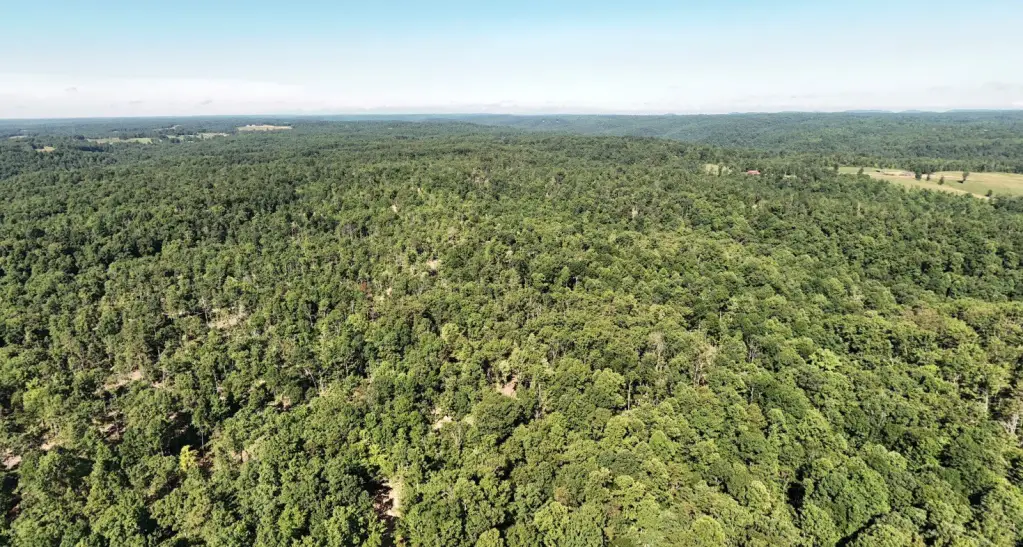
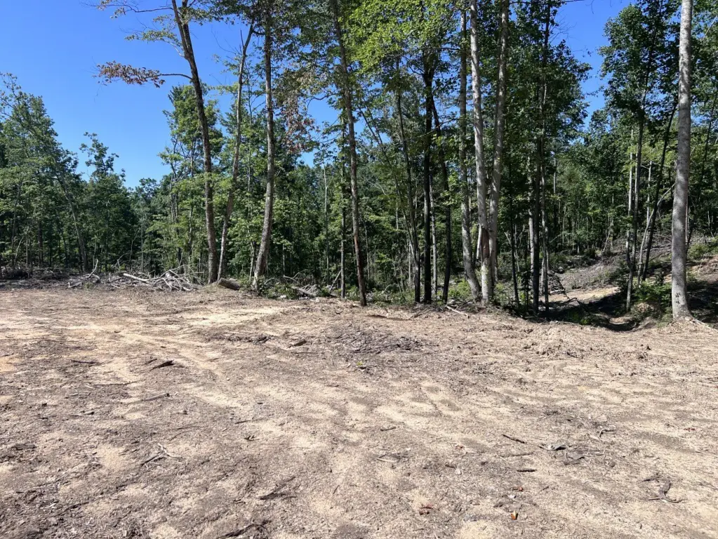
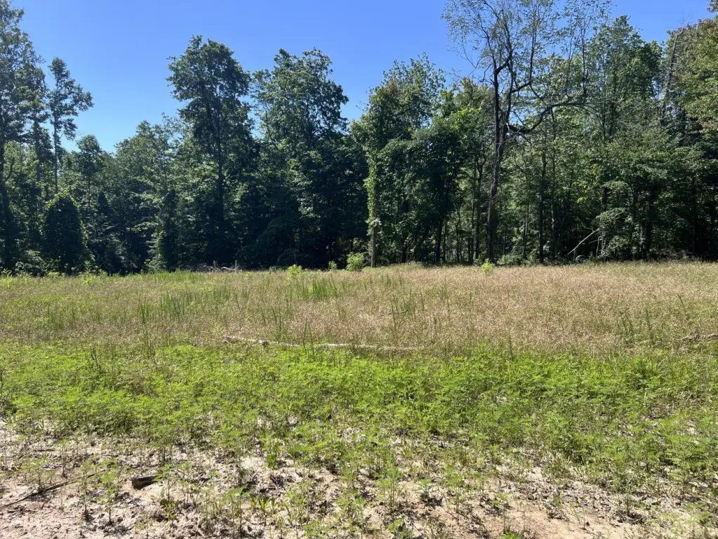
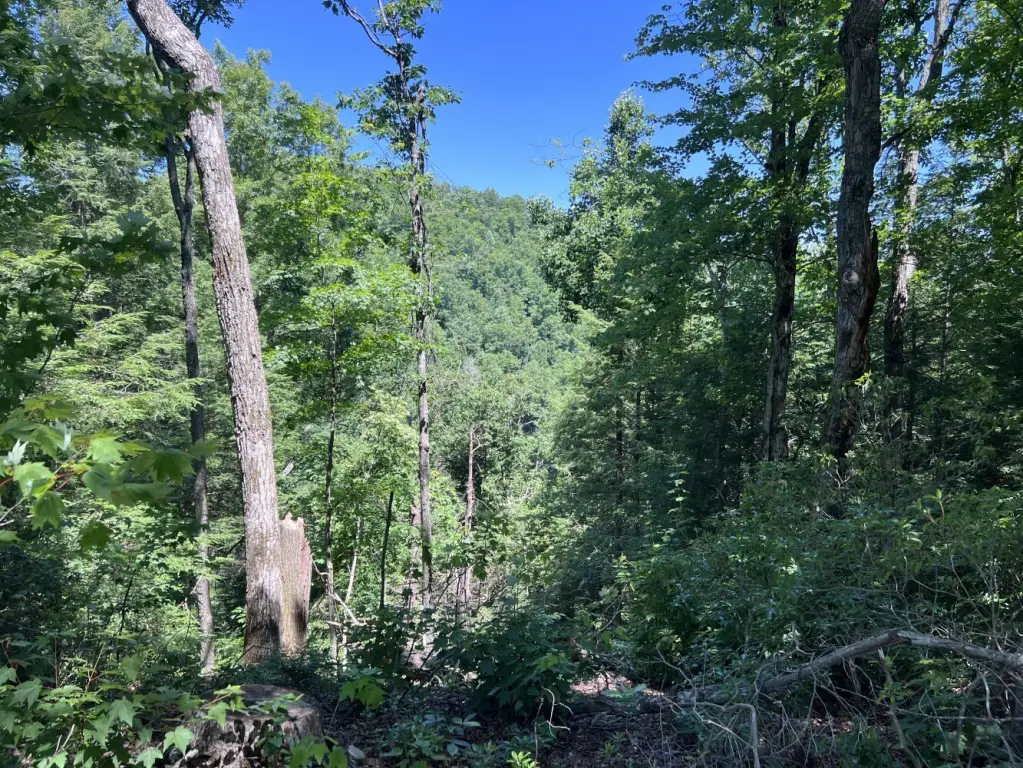
- Land climbs to approx. 1,760 ft on Lost Mountain with areas suited for future homesites or pasture conversion
- Favorable topography and panoramic views from Lost Mountain
- Recently surveyed in Feb. 2024; fiber optic internet available and public water nearby
Overview
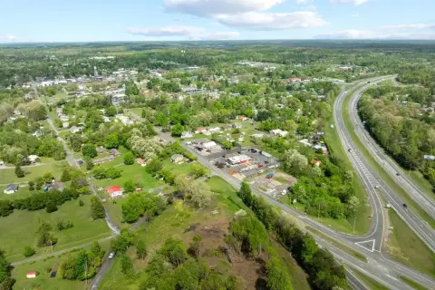
The property borders more than 530 acres under conservation easement, and the adjoining conservation land is also available for purchase for buyers seeking additional acreage. The surrounding area is described as working farms, rolling mountains, and protected forestland. Fiber optic internet is available and public water is nearby. The tract was recently surveyed in February 2024 and sits within a designated Opportunity Zone. For practical access, the property is approximately 30 minutes from Crossville, 45 minutes from Cookeville, 1.5 hours from Knoxville, less than two hours from Nashville, and about two hours from Chattanooga, with nearby access to Catoosa Wildlife Management Area and the Obed Wild and Scenic River.
This configuration supports buyers looking for recreational land with direct river frontage and trail-based access, while also offering areas identified as potential homesites or pasture conversion. It may suit private retreat or family compound planning where long-term use can include hunting and fishing alongside ongoing exploration of the property’s mountainous terrain.
Current Use by Public Records
Map
- City
- Monterey
- County
- Putnam
- State
- Tennessee
- Longitude
- -85.084073
- Latitude
- 36.228078