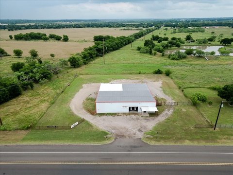
Commercial Land with Highway
For Sale
$525,000
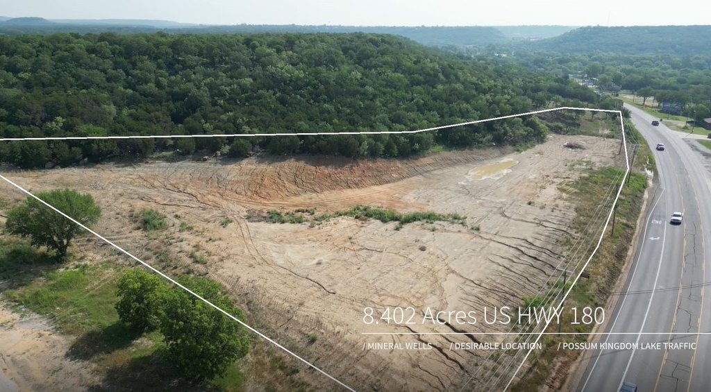
8.402 AC B W US Hwy 180, Mineral Wells, TX 76067
LAND - Mineral Wells, TX
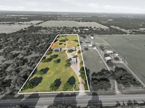
Lot Size8.40 Acres
Days on Market202
Property Features for 8.402 AC B W US Hwy 180
General Information
Property type
Land
Property subtype
Other
Zoning description
Commercial
Subdivision
VALLEY VIEW ESTATES
Lot features
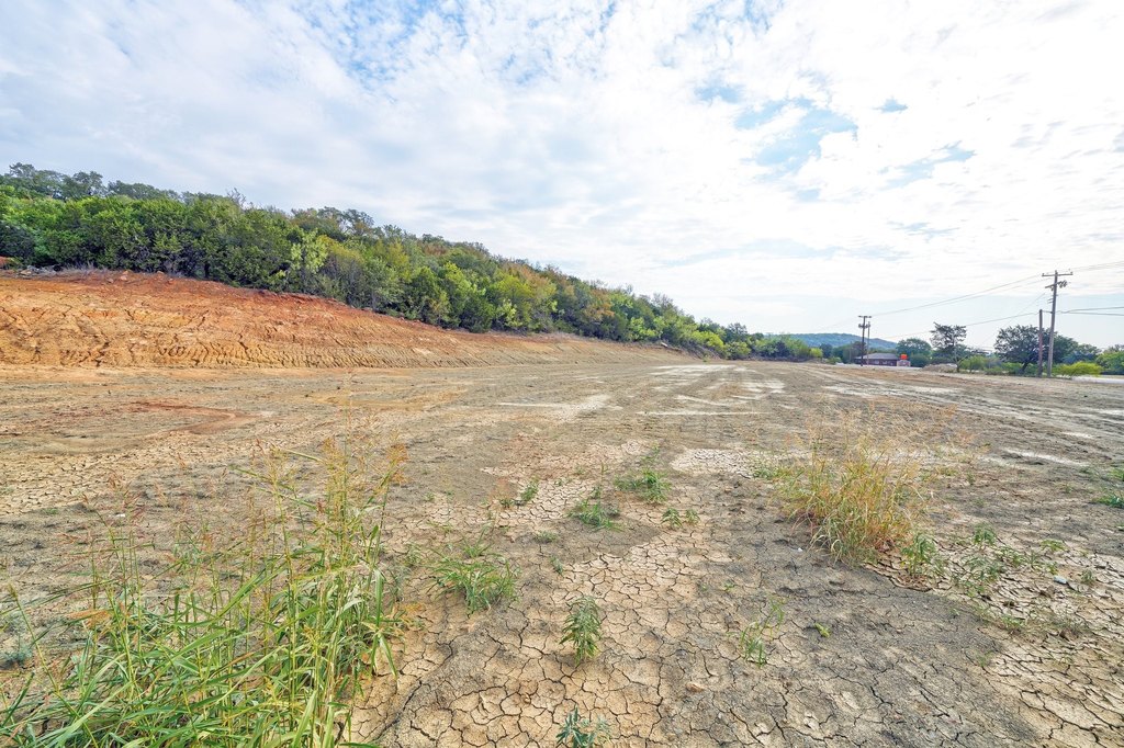
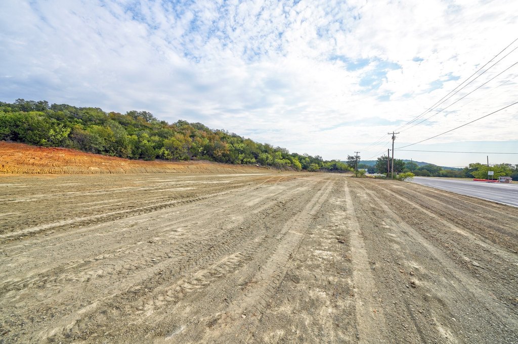
Acreage, Cleared
Directions
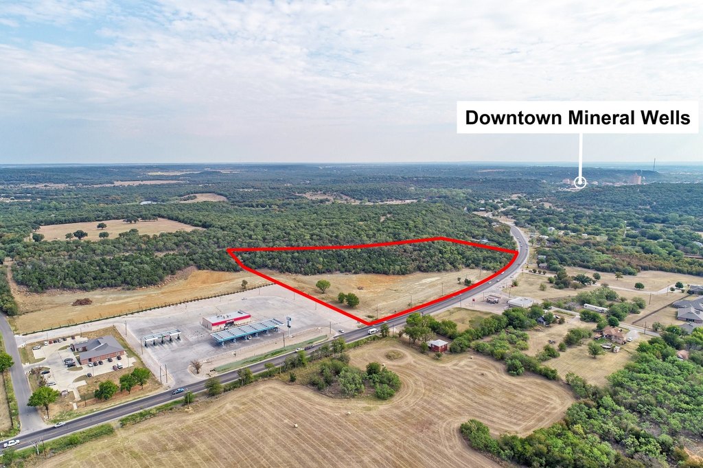
From Downtown Mineral Wells travel West approximately 1.3 miles. Property is on your right just before the red brick building.
Standard status
Active
APN
R000567082
Lot size
8.40 Acres
Utilities
Sewer type
Public Sewer
Water source
Public
Listing Agency:
Cornerstone Home and Ranch
(940) 452-7915
Listed By:
Jenna Sims · License #TX0679015
(940) 452-7915
Added: Jan 10
Changed: Jun 9
Last Checked: Jul 31 at 3:06AM
MLS# 21149730
Copyright © 2026 North Texas Real Estate Information Systems, Inc. All rights reserved. All information provided by the listing agent/broker is deemed reliable but is not guaranteed and should be independently verified.
Investment Insights
Based on property information with market context.
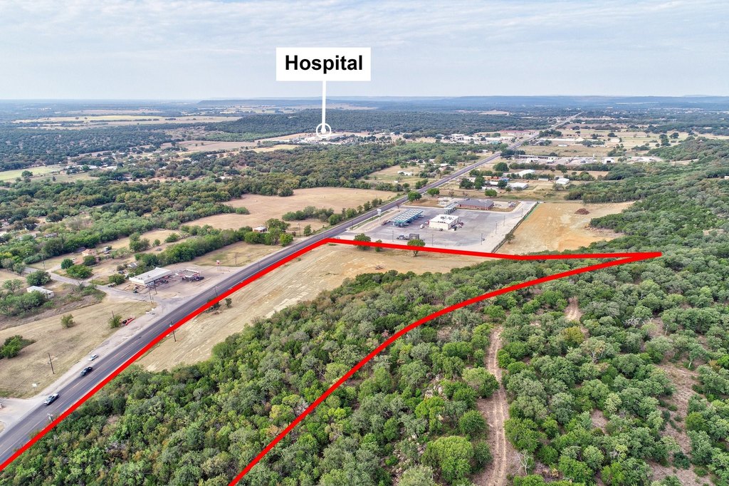
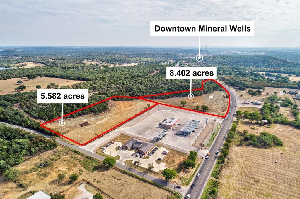
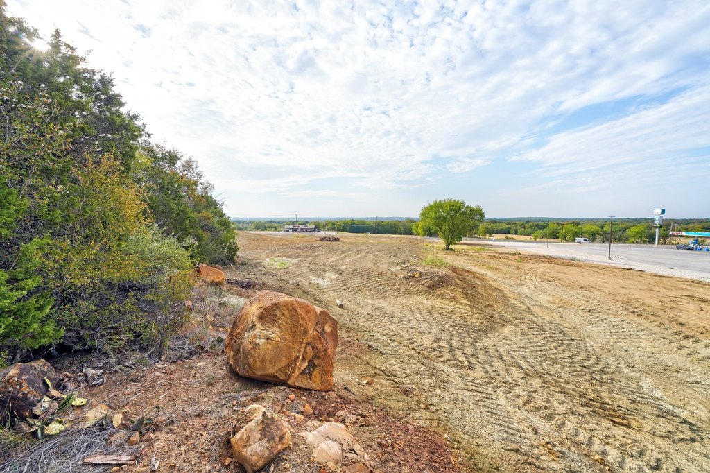
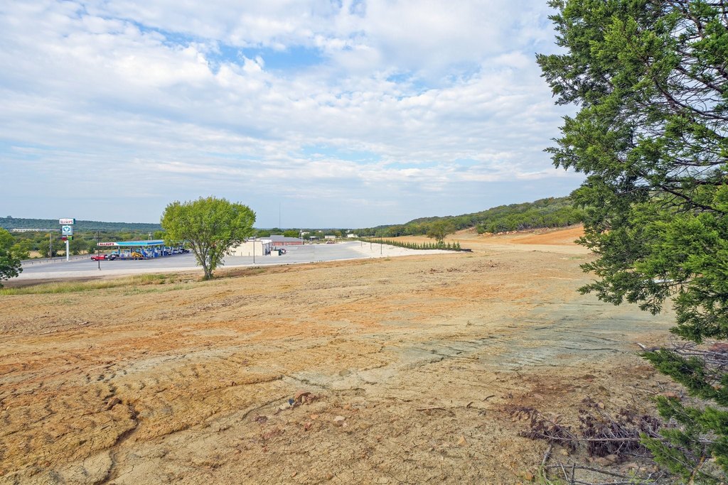
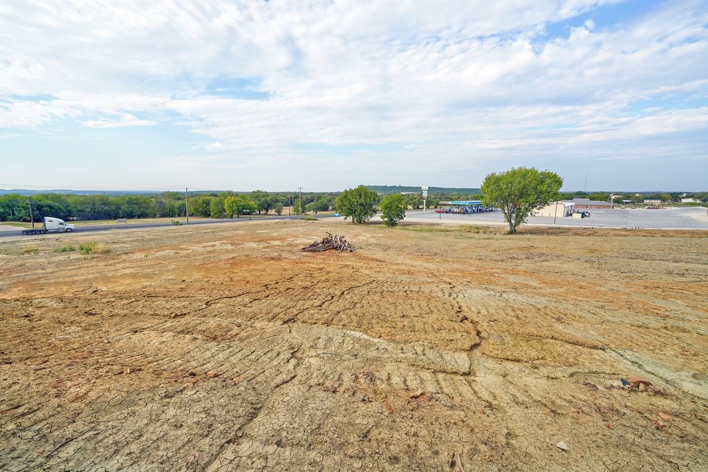
Offering an 8.402-acre commercial tract with approximately 1,000 feet of highway frontage. An additional +/-5 acres of contiguous commercial land is also available for buyers looking to expand a development footprint.
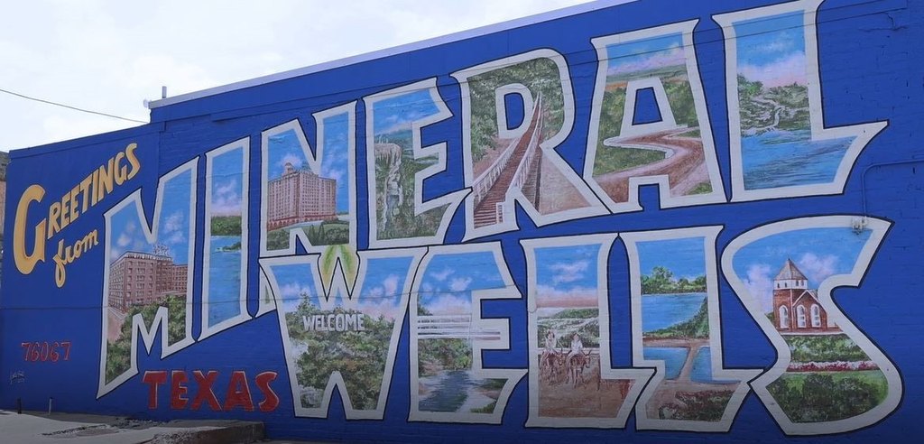
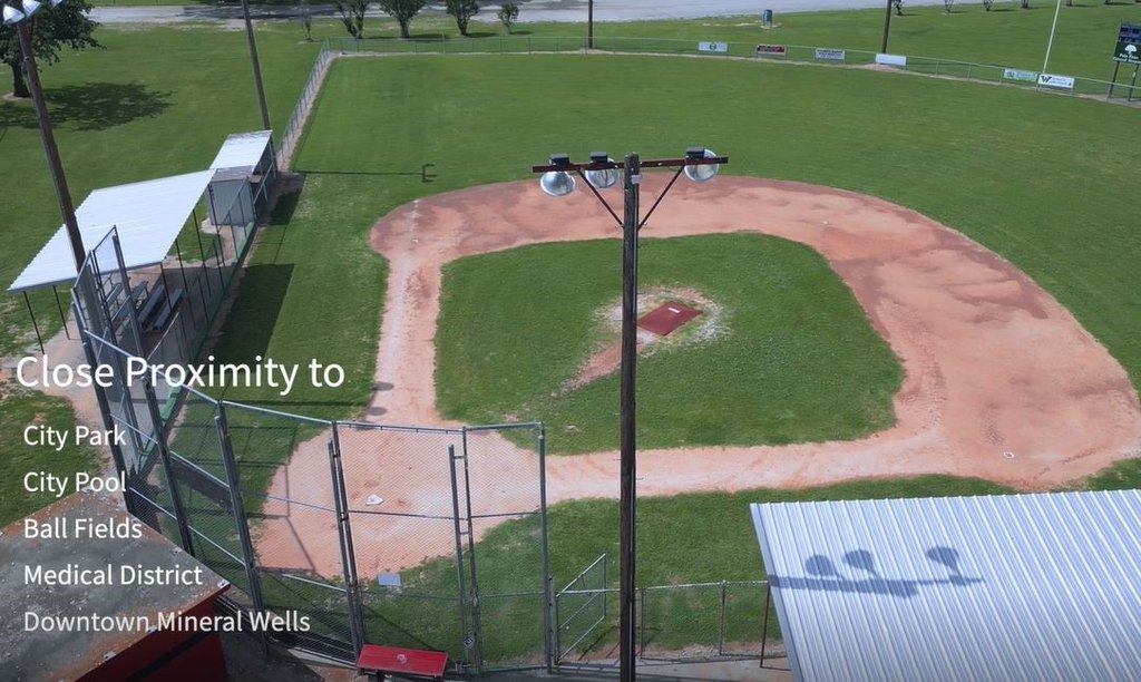
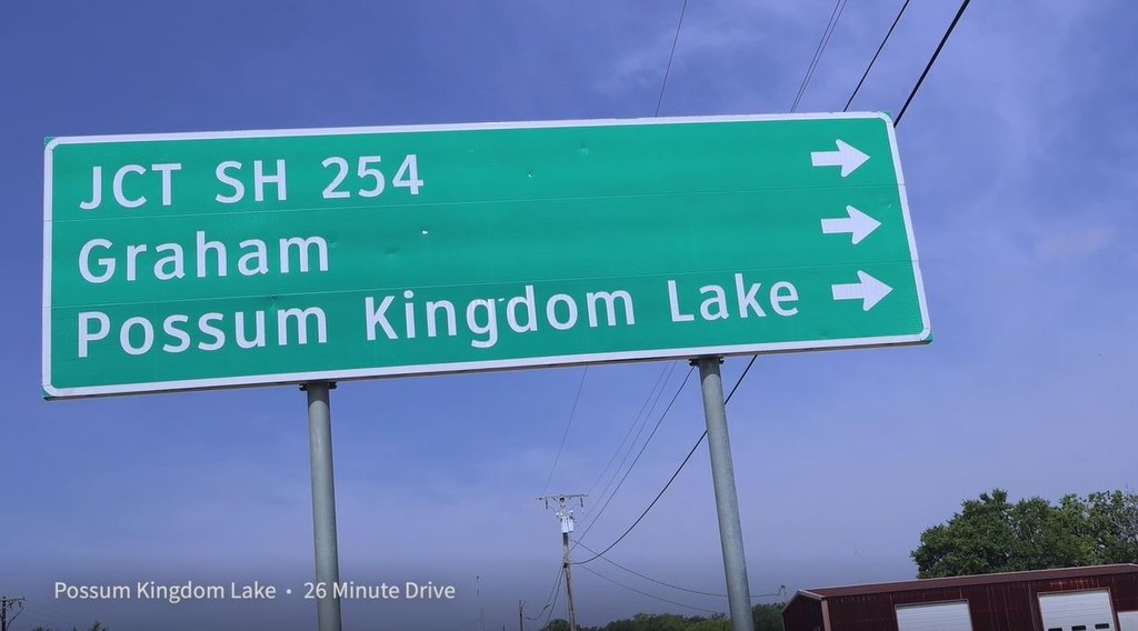
The property is located adjacent to the new Allsup’s, about 1.3 miles west of Historic Downtown Mineral Wells, and along the route to Possum Kingdom Lake. It is positioned for visibility and access with proximity to downtown amenities.
The site is described as suitable for a range of development concepts, including a medical facility, strip center, residential development, or a short-term rental project. TIRZ funding and City incentives may be available, and interested parties are advised to contact the listing agent for details.
Key Highlights
- 8.402‑acre commercial tract with public water and public sewer available
- Approximately 1,000 ft of highway frontage on the route toward Possum Kingdom Lake
- Adjacent to the new Allsup's
Property Analytics
Property Profile
Current Use
Lease Details
Yes
Highway access
Yes
Paved road access
Location Intelligence
Trade Area within ½ mile
169
Businesses Nearby
Explore this area
Business Placement
Demographics for 76067, TX
20,473
Population
8,660
Households
2.4
Avg Household Size
39
Median Age
13%
College-Educated
84%
High-School Grad
197.6 sq mi
ZIP Area
104
Density / Sq Mi
$59,670
Median Household Income
$35,532
Median Earnings
$1,050
Median Rent
$156,000
Median Home Value

Questions? Ask Rey
Realmo’s AI knows this listing — price, zoning, demand, history. Ask anything.


Frequently Asked Questions
What type of property is this?
Commercial land - 8.402-acre commercial tract with approximately 1,000 feet of highway frontage near a new Allsup’s.
Where is this commercial land located?
The property is located at 8.402 AC B W US Hwy 180 Mineral Wells, TX.
What is the asking price?
The asking price for this property is $525,000.
What are key features of this property?
This property features: 8.402‑acre commercial tract with public water and public sewer available; Approximately 1,000 ft of highway frontage on the route toward Possum Kingdom Lake; Adjacent to the new Allsup's