Commercial Land with Off-Ramp

For Sale
$150,000
VL Johnson Road, Gaylord, MI 49735
LAND - Gaylord, MI
Property SizeContact for details
Lot Size0.64 Acres
Days on Market414
Property Features for VL Johnson Road
General Information
Property type
Land
Property subtype
Other
Zoning
B-2
Subdivision
T30N R3W
Elementary school district
Gaylord
Middle school district
Gaylord
High school district
Gaylord
Directions
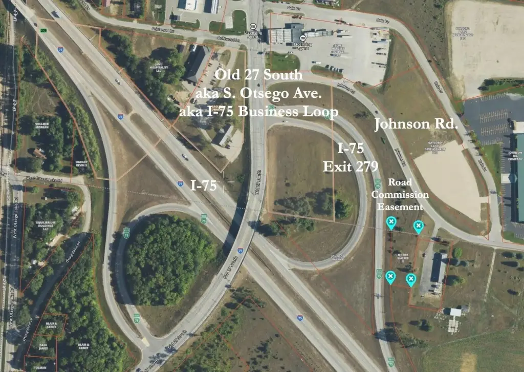
Old 27 S to just north of the I-75 Exit 279 overpass. Turn east on Johnson Rd. Go 2/10 mile, the property's on the right.
Standard status
Active
APN
010-021-100-015-00
Lot size
0.64 Acres
Taxes and HOA fees
Tax Year
2025
Tax Description
COMM @ N1/4 COR, TH S81 degrees 39'27''E 613.5' FOR POB, TH S81 degrees 39'27''E 129', TH S08 degrees 20'33''W 247.5', TH N81 degrees 39'27''W 96.92', TH N0 degrees 57'30''E 249.57' TO POB. SEC 21 T30N-R3W.
Tax Annual Amount
65
Legal Description
COMM @ N1/4 COR, TH S81 degrees 39'27''E 613.5' FOR POB, TH S81 degrees 39'27''E 129', TH S08 degrees 20'33''W 247.5', TH N81 degrees 39'27''W 96.92', TH N0 degrees 57'30''E 249.57' TO POB. SEC 21 T30N-R3W.
Listing Agency:
COLDWELL BANKER SCHMIDT GAYLORD
(989) 732-6777
Listed By:
Michael E. Heath
(989) 619-0400
Added: Jul 7, 2025
Changed: Jun 24
Last Checked: Aug 24 at 6:06AM
MLS# 201835735
Copyright © 2026 Water Wonderland Board of Realtors®. All rights reserved. All information provided by the listing agent/broker is deemed reliable but is not guaranteed and should be independently verified.
Investment Insights
Based on property information with market context.
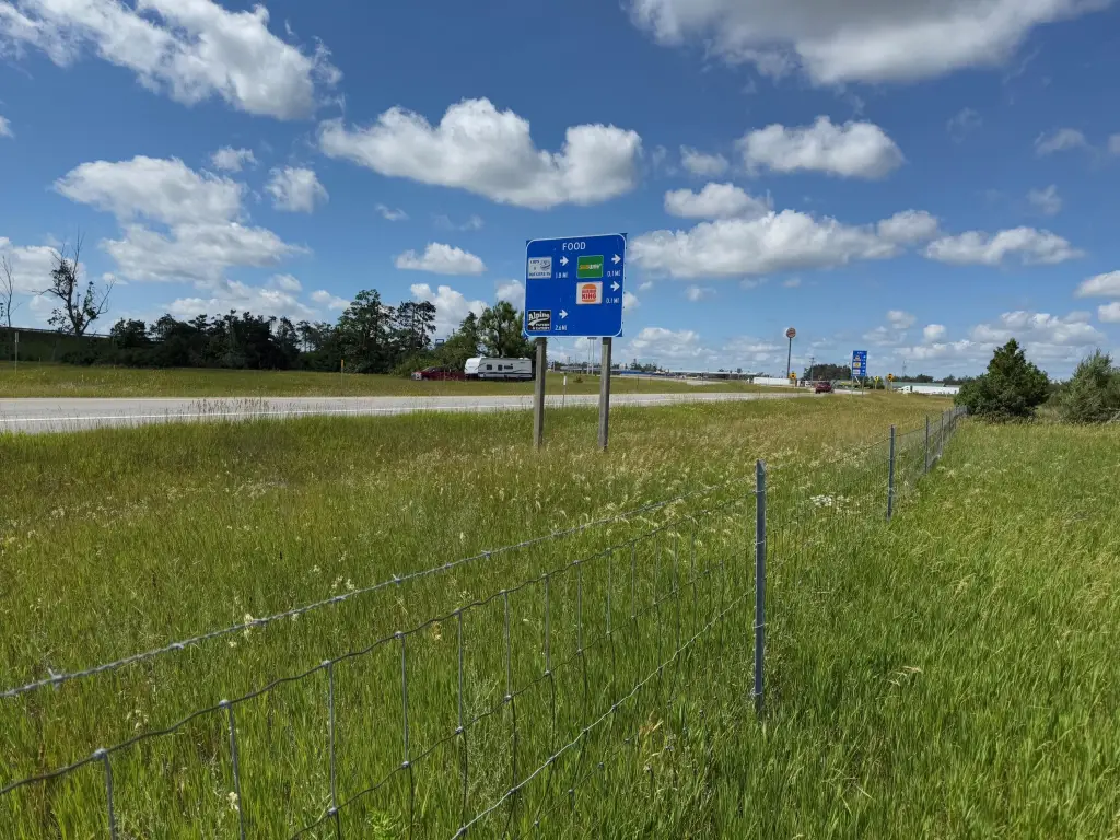
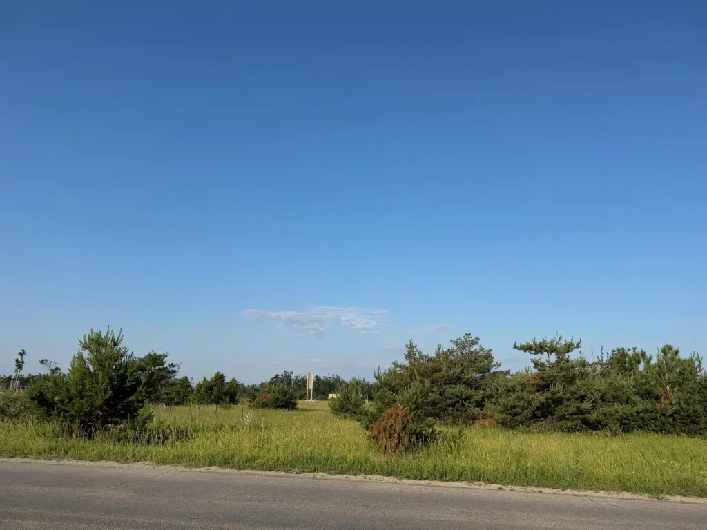
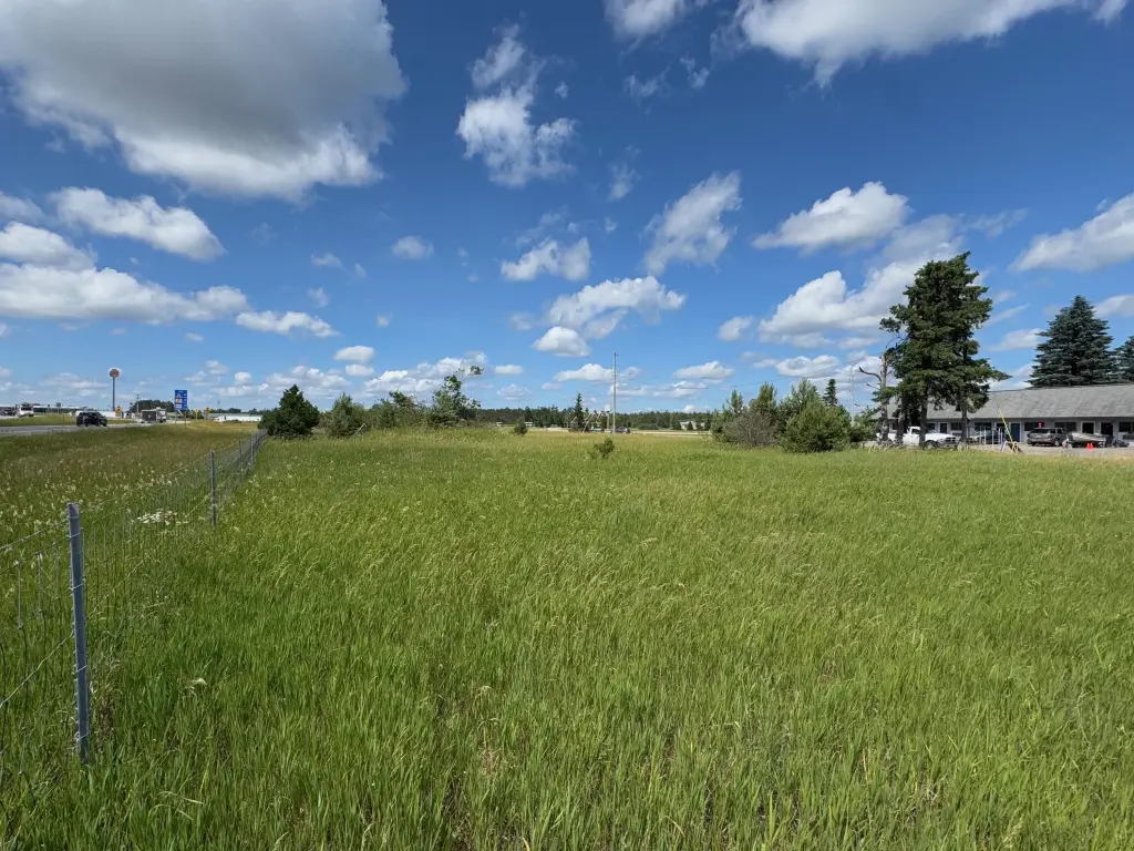
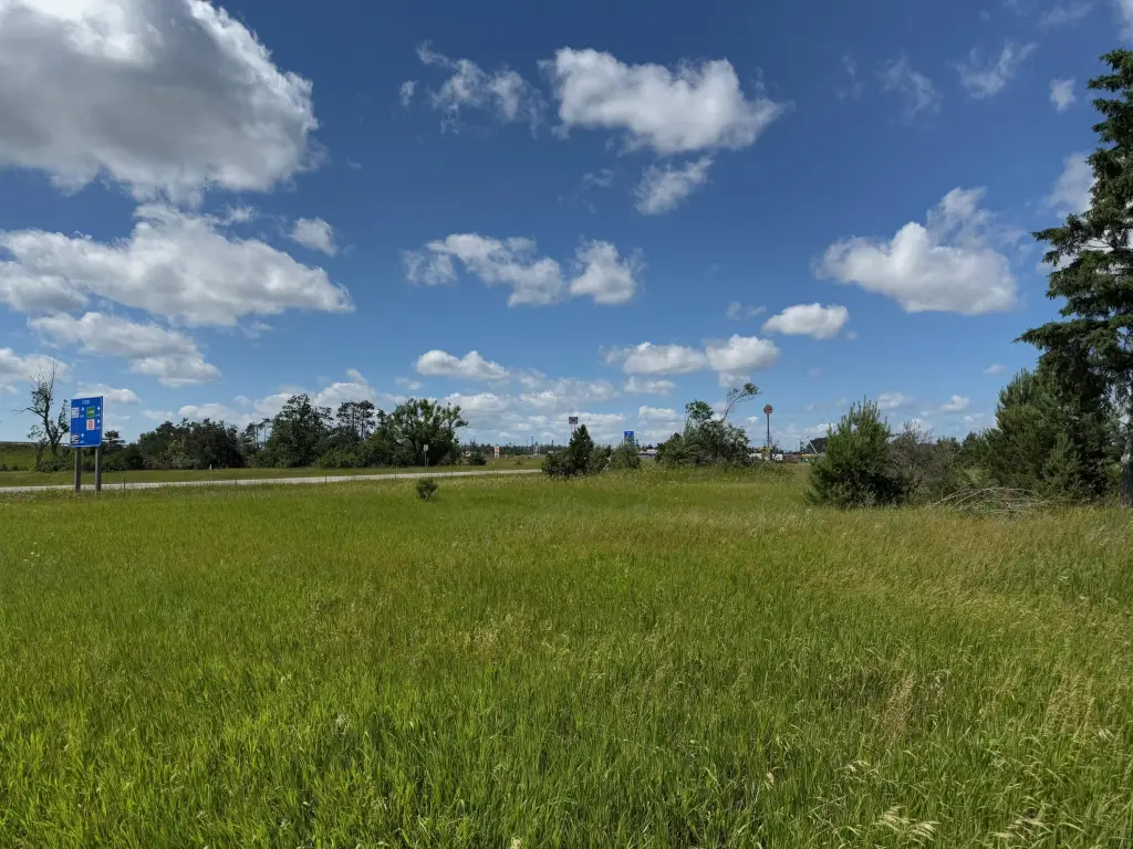
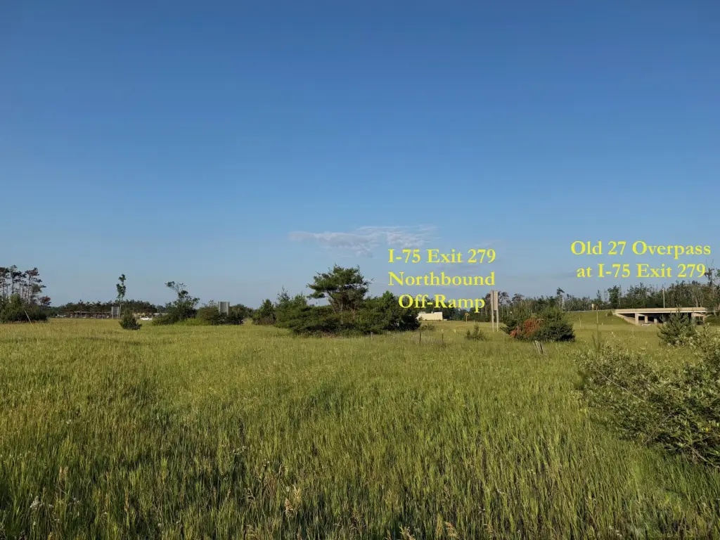
This commercial land parcel offers road frontage on the northbound off-ramp of I-75’s Exit 279, the southern Gaylord interchange. The property is zoned B-2, supporting a broad set of commercial uses compatible with high-visibility sites. Corner ribbon locations shown are estimated and not necessarily marking survey corner monuments.
MDOT’s 2024 traffic count is listed at 25,843 vehicles per day. The data breaks out to 13,882/day on I-75, 11,961/day on S. Otsego by Exit 279, and 1,339/day on Johnson Rd. The listing also notes the parcel benefits from a prominent interchange approach.
For buyers looking for a flexible commercial site, B-2 zoning can accommodate many business types that benefit from being positioned where drivers enter and exit the interstate. Land contract terms are offered with 25% down, a 15-year amortization at 7.5%, and a 3-year balloon, subject to the terms stated in the listing. Please confirm any intended development and use directly with the appropriate local authorities prior to submitting plans.
MDOT’s 2024 traffic count is listed at 25,843 vehicles per day. The data breaks out to 13,882/day on I-75, 11,961/day on S. Otsego by Exit 279, and 1,339/day on Johnson Rd. The listing also notes the parcel benefits from a prominent interchange approach.
For buyers looking for a flexible commercial site, B-2 zoning can accommodate many business types that benefit from being positioned where drivers enter and exit the interstate. Land contract terms are offered with 25% down, a 15-year amortization at 7.5%, and a 3-year balloon, subject to the terms stated in the listing. Please confirm any intended development and use directly with the appropriate local authorities prior to submitting plans.
Key Highlights
- High‑visibility location with frontage on the northbound off‑ramp of I‑75 (Exit 279).
- Zoned B‑2, allowing for a wide range of commercial uses.
- Substantial traffic count of 25,843 vehicles per day (MDOT 2024).
Property Analytics
Property Profile
Current Use
Lease Details
25,843 VPD
Traffic count
Yes
Highway access
Location Intelligence
Trade Area within ½ mile
87
Businesses Nearby
Explore this area
Business Placement
Demographics for 49735, MI
20,568
Population
11,551
Households
1.8
Avg Household Size
44
Median Age
27%
College-Educated
94%
High-School Grad
248.6 sq mi
ZIP Area
83
Density / Sq Mi
$69,050
Median Household Income
$39,813
Median Earnings
$876
Median Rent
$200,800
Median Home Value

Questions? Ask Rey
Realmo’s AI knows this listing — price, zoning, demand, history. Ask anything.


Frequently Asked Questions
What type of property is this?
Commercial land - Zoned B-2 commercial land on the I-75 Exit 279 off-ramp, offering visibility for a wide range of uses.
Where is this commercial land located?
The property is located at VL Johnson Road Gaylord, MI.
What is the asking price?
The asking price for this property is $150,000.
What are key features of this property?
This property features: High‑visibility location with frontage on the northbound off‑ramp of I‑75 (Exit 279).; Zoned B‑2, allowing for a wide range of commercial uses.; Substantial traffic count of 25,843 vehicles per day (MDOT 2024).


