Wilson Lode Sur 10360 Virginia City, MT 59729
- Added:
- Aug 20, 2024
- Days on Market:
- 595
- Last Refresh:
- Apr 6 at 10:06 pm
Property Features for Wilson Lode Sur 10360
General Information
- Property type
- Land
- Property subtype
- Other
- Standard status
- Active
- APN
- 0002315500
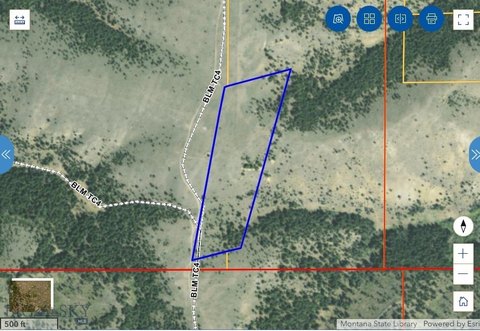
- Lot size
- 19.43 Acres
Taxes and HOA fees
- Tax Year
- 2022
- Tax Description
- S35, T06 S, R03 W, ACRES 19.43, WILSON SUR 10360 ME 023029 Full Legal: an undivided 7 1/2% interest in the Wilson Lode, Survey No 10360, M.E. 23029, located in Section 35, Township 6 South, Range 3 West, M.P.M., and more particularly described in the Patent recorded in Book 101, Page 437
- Tax Annual Amount
- 6
Listing agent DeHart Home Hunters License #RBS-79003 (406) 560-8288
Listing office Venture West Realty 135 Mill Town Loop #B, Bozeman, MT (406) 522-9378
Listing date Aug 20, 2024
MLS# 395058
Copyright © 2025 Big Sky Country MLS. All rights reserved. All information provided by the listing agent/broker is deemed reliable but is not guaranteed and should be independently verified.
Overview
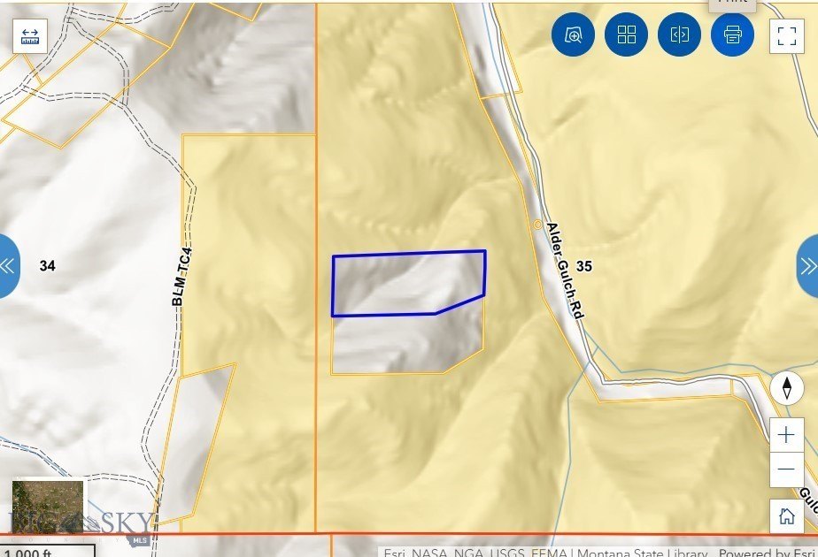
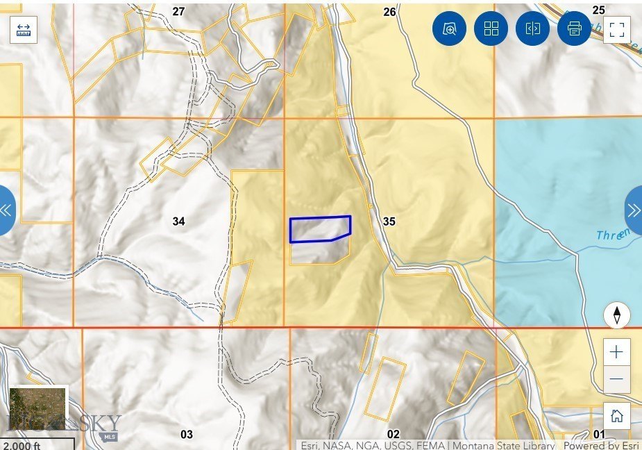
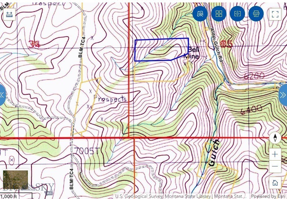
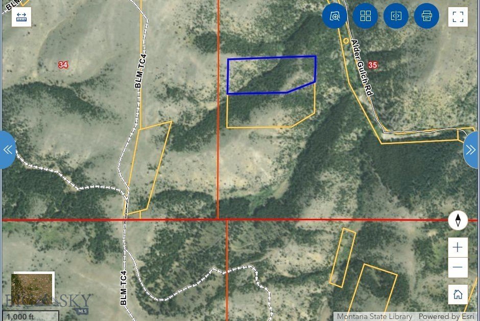
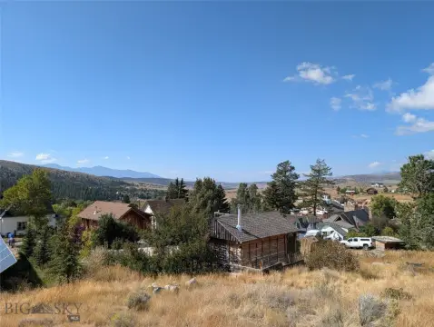
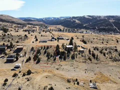
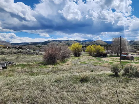
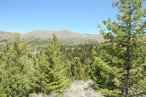
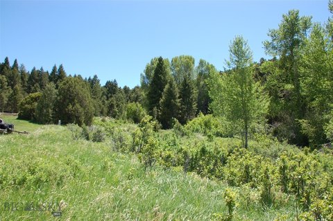
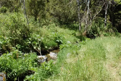
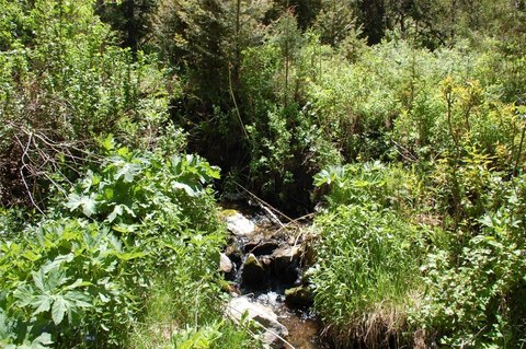
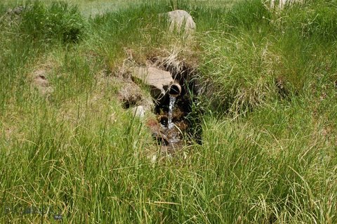
Mining Land in Storied Montana
The Wilson Lode Survey #10360 encompasses 19.43 acres situated within Montana's historic mining region. This parcel features a rich history, forested privacy, and rugged terrain, making it suitable for heritage-minded buyers or outdoor enthusiasts. Although off-grid, the site is located near the charm of Virginia City. This property represents a 7.5% undivided interest shared with approximately 10 additional owners. Bordered by BLM land on three sides, it also has another fractional ownership opportunity in the private land below. The land offers opportunities to pan for gold, silver, garnets, and base metal minerals.
Property Profile
Insight Report
Location Intelligence
Current Use by Public Records
Mining land & claims
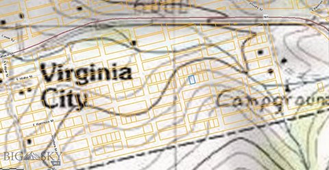
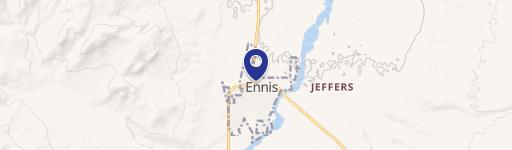
Map
- City
- Virginia City
- County
- Madison
- State
- Montana
- Longitude
- -111.582
- Latitude
- 45.4126
Nearby Similar for Sale

FAQs
What type of property is this?
Mining land & claim - 19.43 acres of mining land near Virginia City, Montana.
Where is this mining land & claim located?
The property is located at Wilson Lode Sur 10360 Virginia City, MT.
What is the asking price?
The asking price for this property is Off market.
What are key features of this property?
This property features: 19.43 acres of Montana land with potential‑rich mining history.; Surrounded by BLM land on 3 sides, offering privacy and access to public lands.; Opportunity to pan for gold, silver, garnets, and base metal minerals.


