Tillable Farmland
For Sale
Contact for pricing
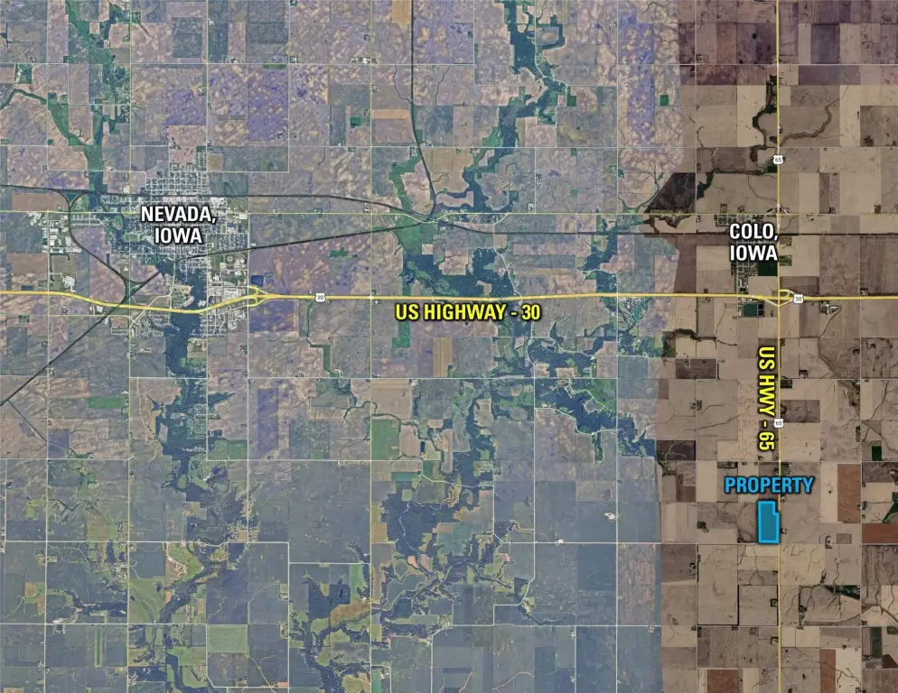
US Highway 65, Colo, IA 50056
Land, Colo, IA
Property SizeContact for details
Lot Size75.29 Acres
Days on Market16
Property Features for US Highway 65
General Information
Property type
Land
Property subtype
Other
Zoning
Ag
Directions
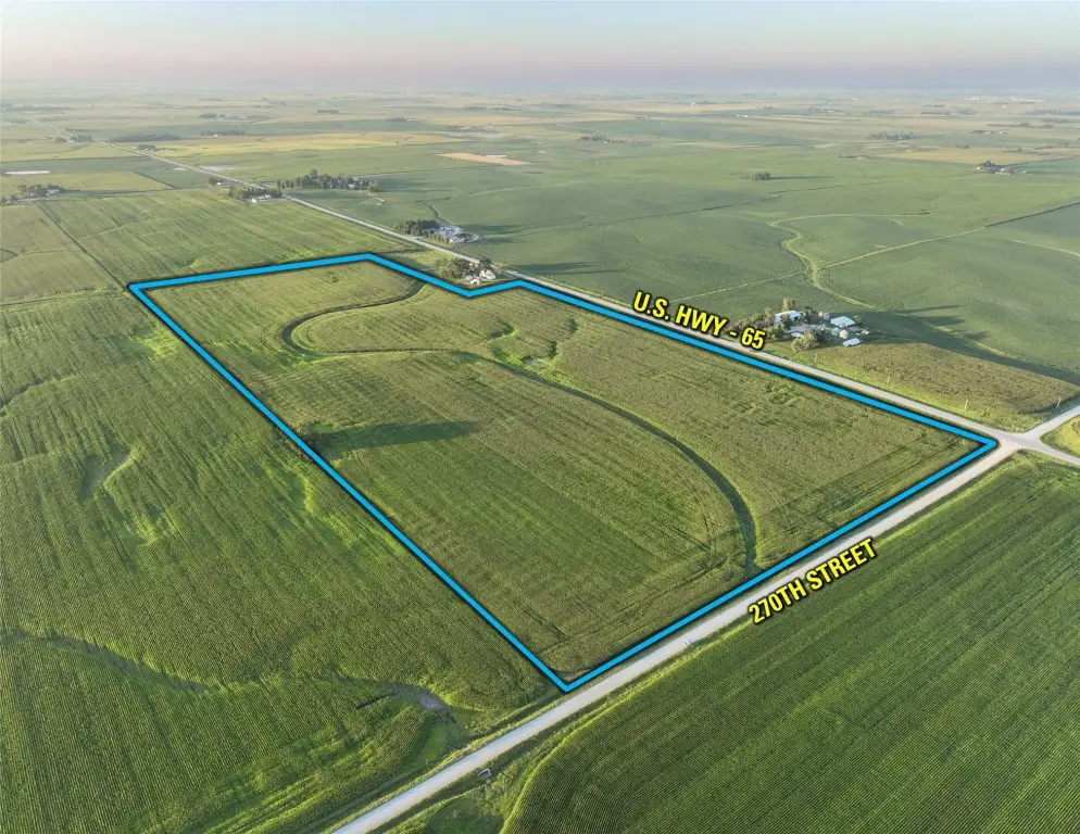
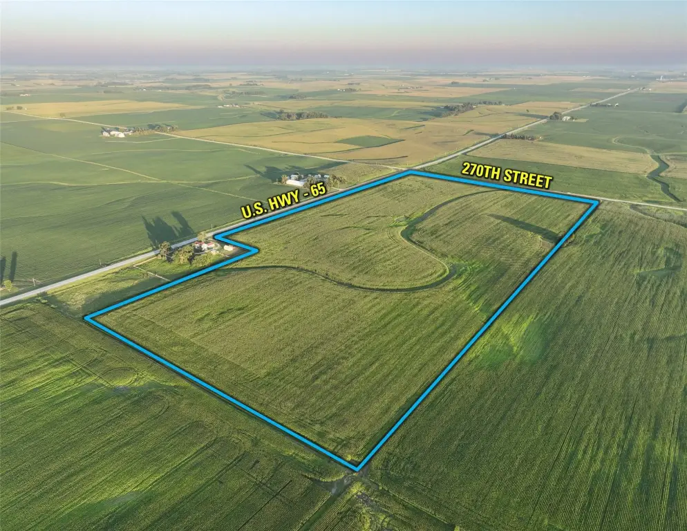
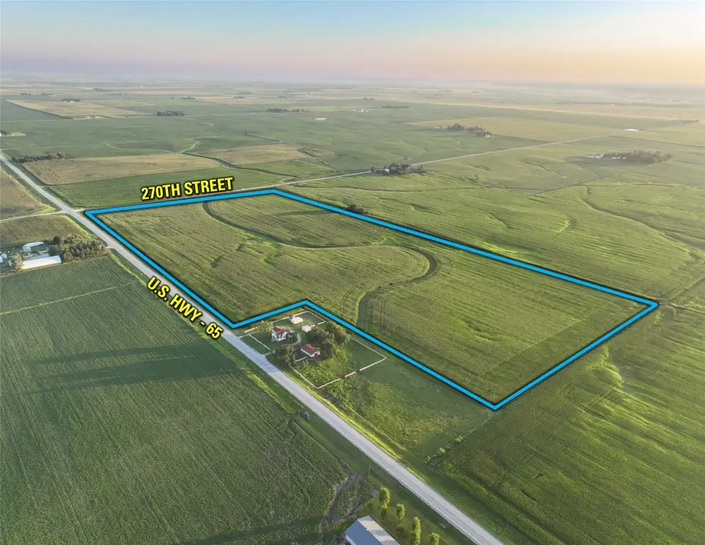
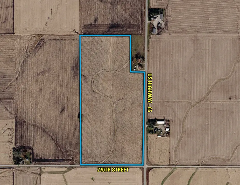
From Colo, Iowa: Travel south on US Highway 65 for approximately 3.5 miles. The farm will be located on the west side of US Highway 65 at the intersection of US Highway 65 & 270th Street. Look for the Company signage.
Subdivision
Colo
Special listing conditions
Auction
Standard status
Active
APN
12-29-400-400, 12-29-400-210
Lot size
75.29 Acres
Taxes and HOA fees
Tax Description
Exact legal description to be taken from Abstract.
Tax Annual Amount
2534
Legal Description
Exact legal description to be taken from Abstract.
Listing Agency:
Peoples Company
(515) 222-1347
Listed By:
Andrew Zellmer · License #S61625000
(712) 898-5913
Added: Aug 13
Changed: Aug 25
Last Checked: Aug 28 at 8:06PM
MLS# 747261
Copyright © 2026 Des Moines Area Association of REALTORS®, Inc. All rights reserved. All information provided by the listing agent/broker is deemed reliable but is not guaranteed and should be independently verified.
Investment Insights
Based on property information with market context.
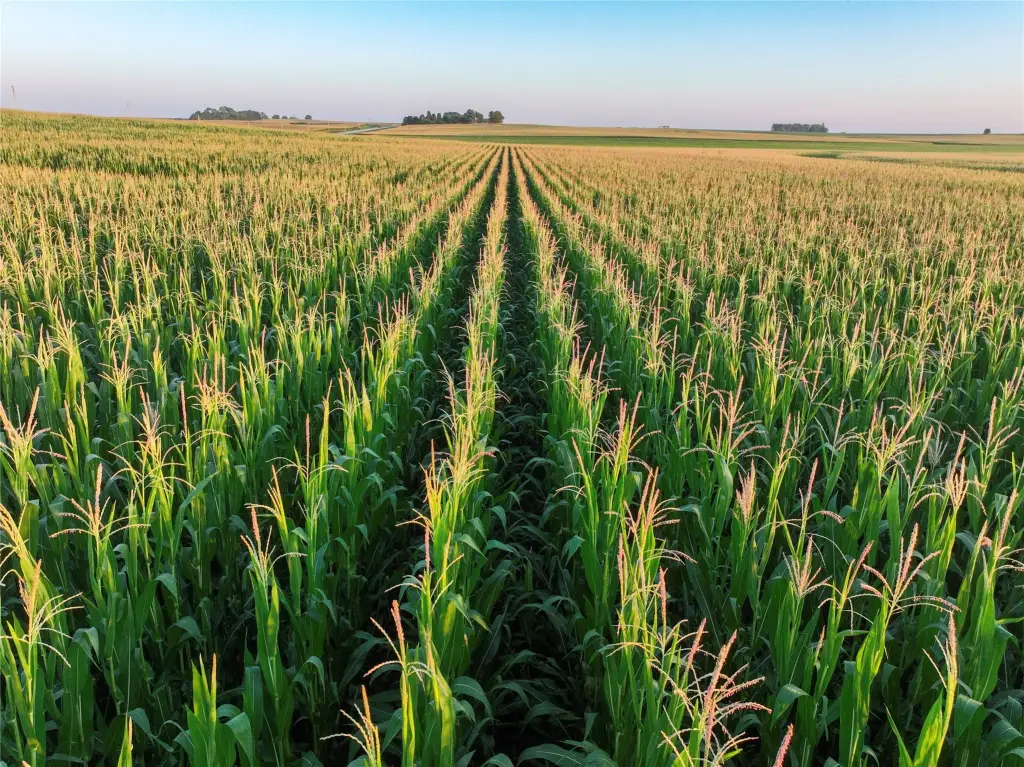
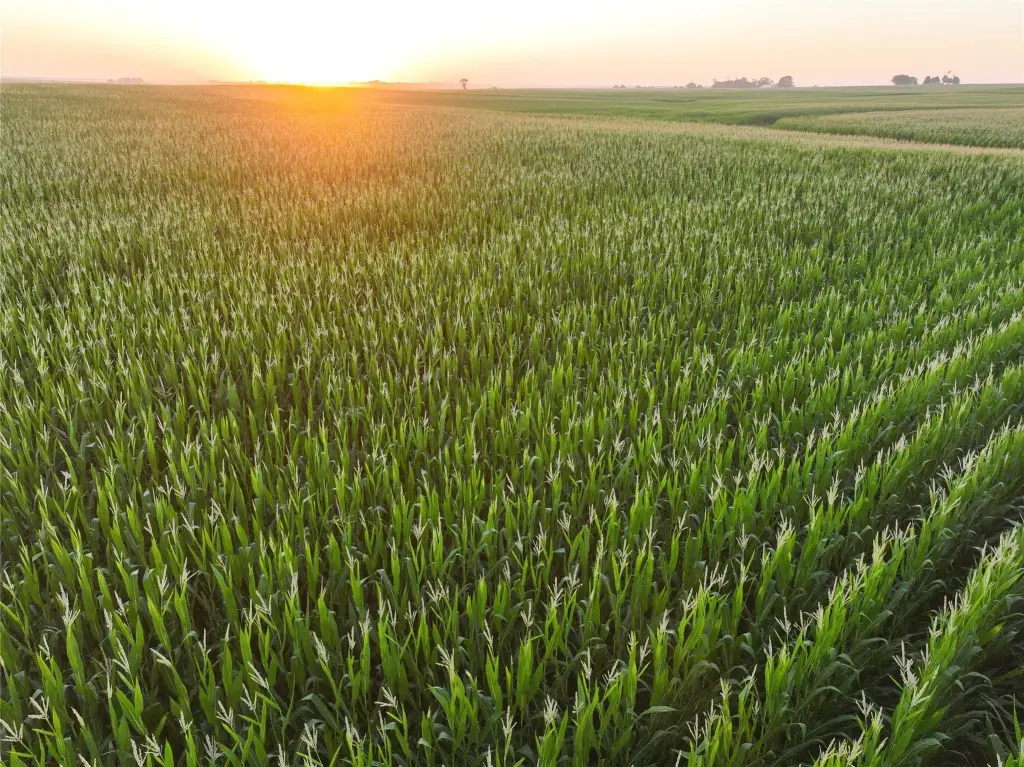
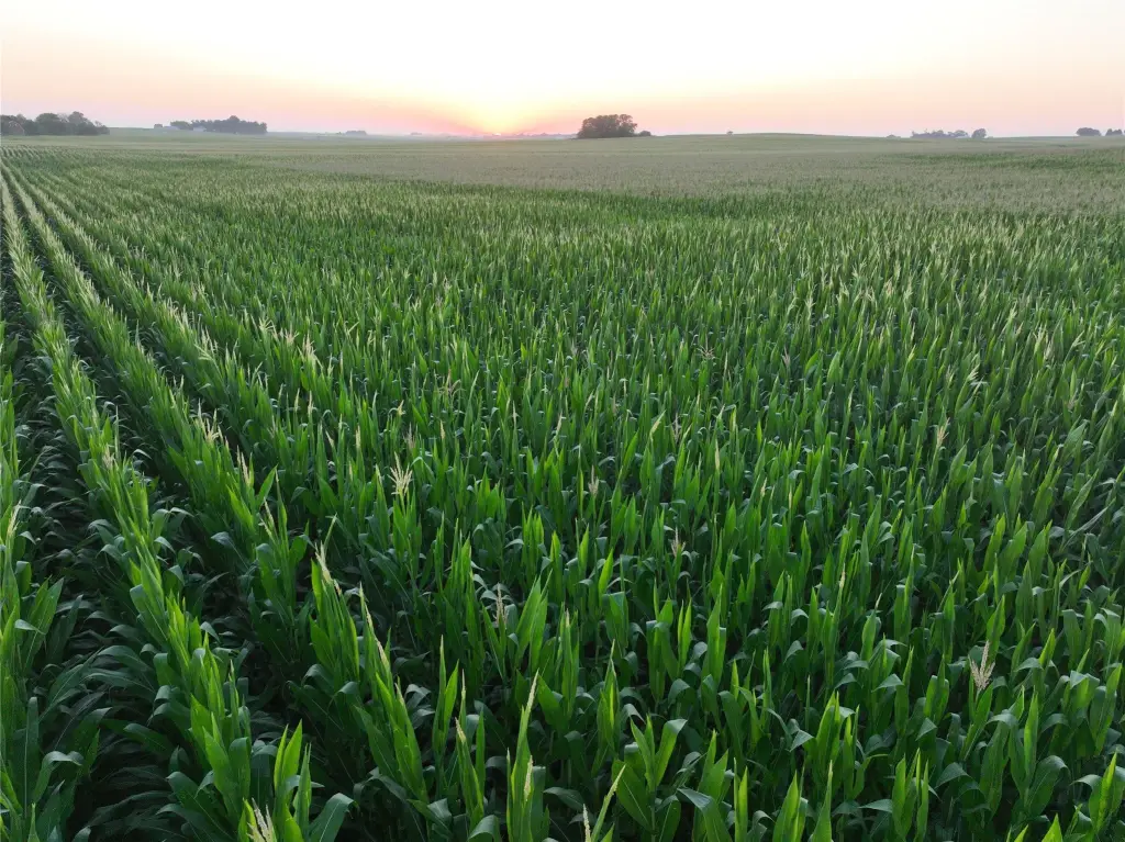
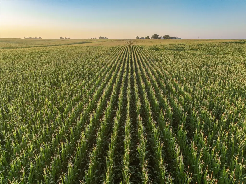
This 75.29-acre farm in Story County includes 72.21 FSA cropland acres classified as NHEL, with a CSR2 rating of 85.4. Primary soil types include Webster clay loam, Clarion loam, and Nicollet loam. The property is part of Drainage District 75 in New Albany Township and includes county tile lines ranging from 16 inches to 12 inches. Water enters from the northeast and drains toward the southwest corner, connecting with a 26-inch county main tile line on the neighboring farm before continuing toward an open ditch and Hickory Grove Lake.
The tract fronts paved US Highway 65, providing direct equipment access. Grain marketing facilities identified near the property include Heartland Co-op in Colo, Lincolnway Energy and Verbio Biorefinery Plants in Nevada, and Landus Co-op in Collins. The property is offered through an online-only farmland auction scheduled to conclude Thursday, October 22nd, 2026, at 1:00 PM CST.
The tract fronts paved US Highway 65, providing direct equipment access. Grain marketing facilities identified near the property include Heartland Co-op in Colo, Lincolnway Energy and Verbio Biorefinery Plants in Nevada, and Landus Co-op in Collins. The property is offered through an online-only farmland auction scheduled to conclude Thursday, October 22nd, 2026, at 1:00 PM CST.
Key Highlights
- 75.29 acres m/l with 72.21 FSA cropland acres
- CSR2 rating of 85.4; primary soils include Webster clay loam, Clarion loam, and Nicollet loam
- NHEL cropland classification
Property Analytics
Current Use
Location Intelligence
Trade Area within ½ mile
2
Businesses Nearby
Explore this area
Business Placement
Demographics for 50056, IA
1,388
Population
522
Households
2.7
Avg Household Size
42
Median Age
25%
College-Educated
97%
High-School Grad
60.9 sq mi
ZIP Area
23
Density / Sq Mi
$79,667
Median Household Income
$50,982
Median Earnings
$1,054
Median Rent
$184,300
Median Home Value

Questions? Ask Rey
Realmo’s AI knows this listing — price, zoning, demand, history. Ask anything.


Frequently Asked Questions
What type of property is this?
Farm - Ag-zoned farmland with paved US Highway 65 access and established drainage infrastructure.
Where is this farm located?
The property is located at US Highway 65 Colo, IA.
What are key features of this property?
This property features: 75.29 acres m/l with 72.21 FSA cropland acres; CSR2 rating of 85.4; primary soils include Webster clay loam, Clarion loam, and Nicollet loam; NHEL cropland classification



