Agricultural Land with Highway
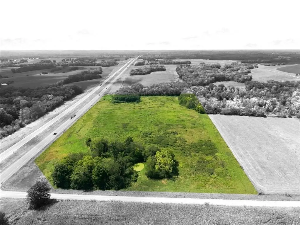
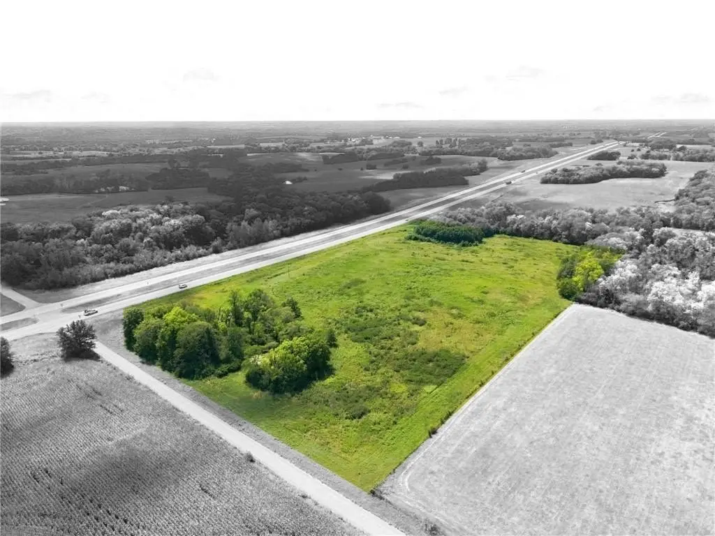
For Sale
$250,000
US 36 Highway, Mooresville, MO 64664
Land, Mooresville, MO
Property SizeContact for details
Lot Size17.50 Acres
Days on Market10
Property Features for US 36 Highway
General Information
Property type
Land
Property subtype
Other
Zoning
Ag
Vegetation
Brush, Natural State
Lot features
Acreage, Many Trees
Elementary school district
Southwest Livingston County R-1
Middle school district
Southwest Livingston County R-1
High school district
Southwest Livingston County R-1
Directions
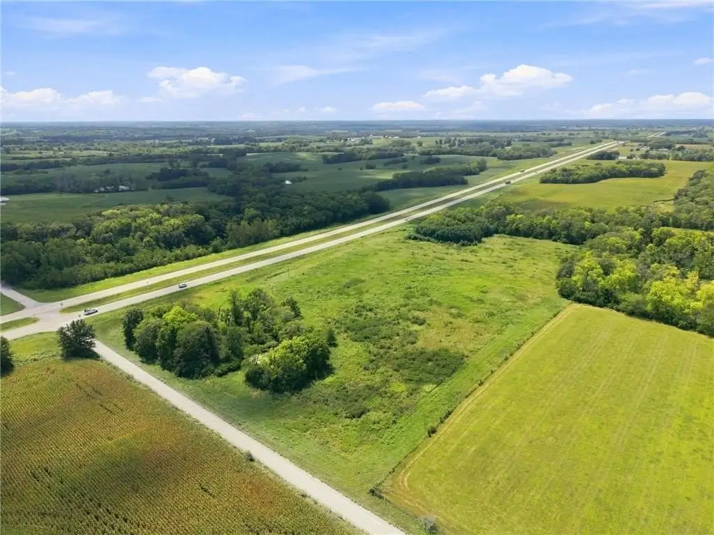
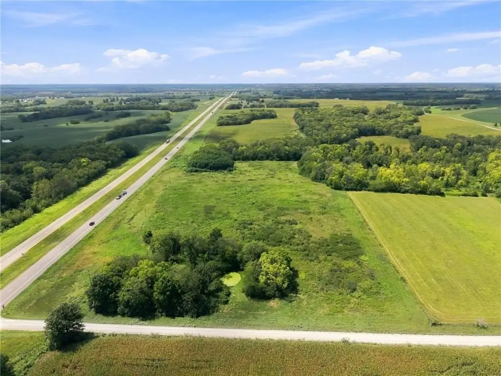
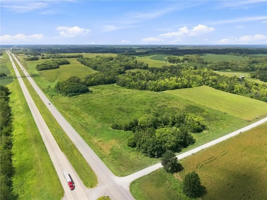
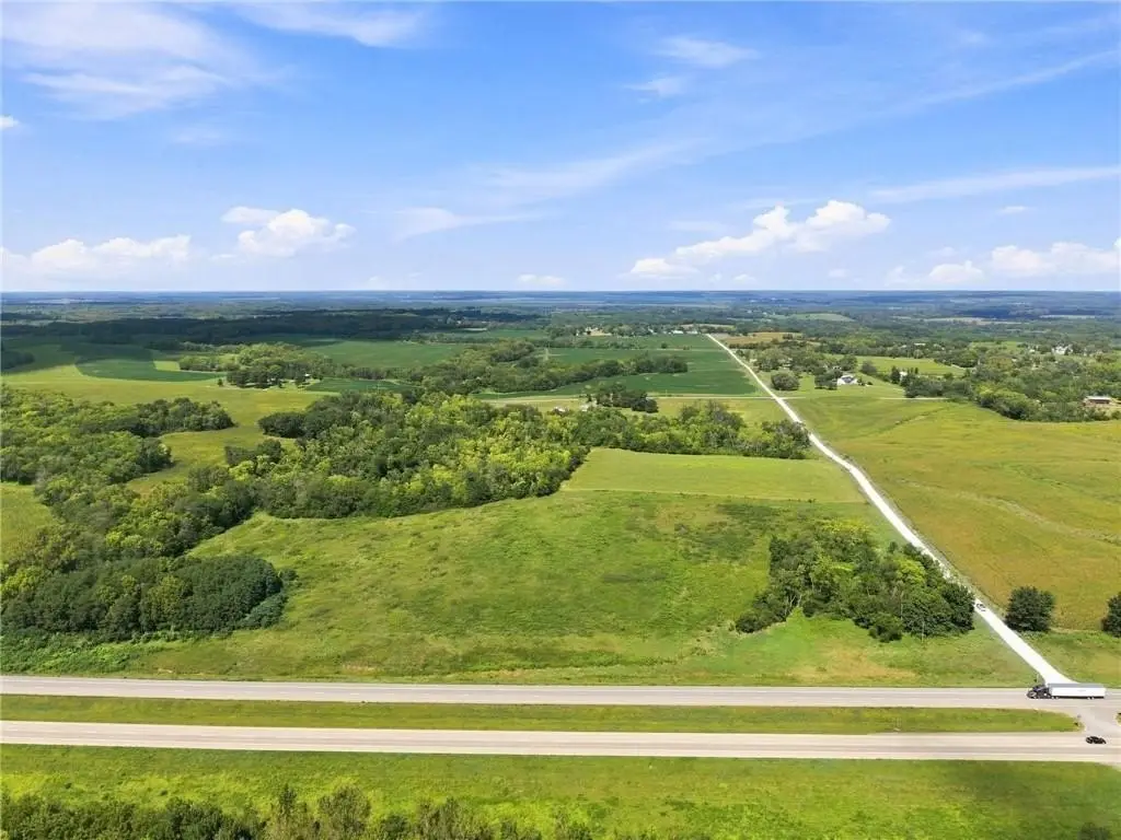
From U.S. 36 at Mooresville (Route D) go west approximately one mile to LIV 405. Parcel is on the west side of intersection of U.S. 36 and LIV 405.
Subdivision
109 - East of I-35 & North of Hwy 92
Standard status
Active
APN
12-04.00-20-0-00-09.00
Lot size
17.50 Acres
Taxes and HOA fees
Tax Description
SECTION: 20 TOWNSHIP: 57 RANGE: 25 LEGAL: SE1/4 NE1/4 AND LESS HWY
Tax Annual Amount
50
Legal Description
SECTION: 20 TOWNSHIP: 57 RANGE: 25 LEGAL: SE1/4 NE1/4 AND LESS HWY
Listing Agency:
Berkshire Hathaway HomeService · Berkshire Hathaway HomeServices
(816) 632-2459
Listed By:
Larry Allen · License #2015028721
(660) 359-7697
Added: Aug 28
Changed: Sep 4
Last Checked: Sep 6 at 4:06AM
MLS# 2638507
Copyright © 2026 Heartland Multiple Listing Service. All rights reserved. All information provided by the listing agent/broker is deemed reliable but is not guaranteed and should be independently verified.
Investment Insights
Based on property information with market context.
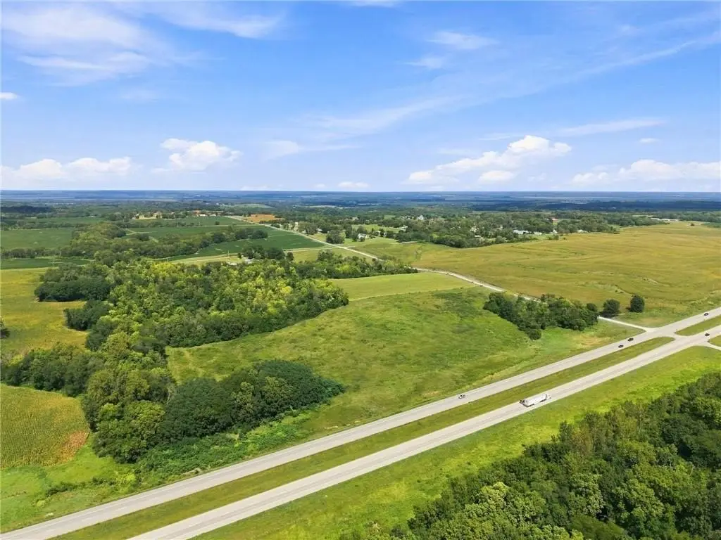
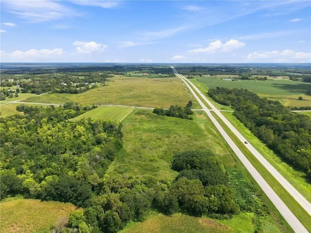
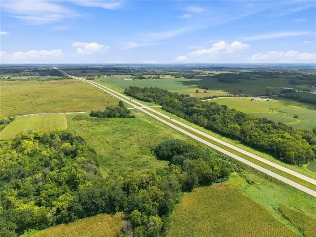
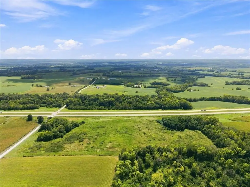
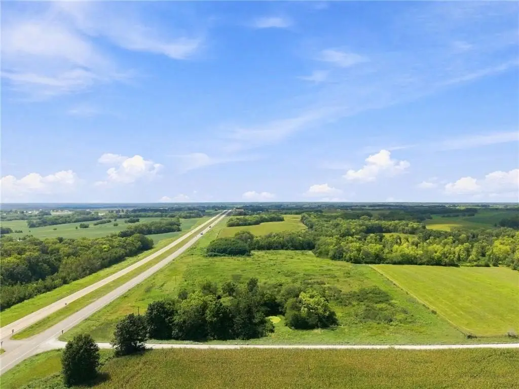
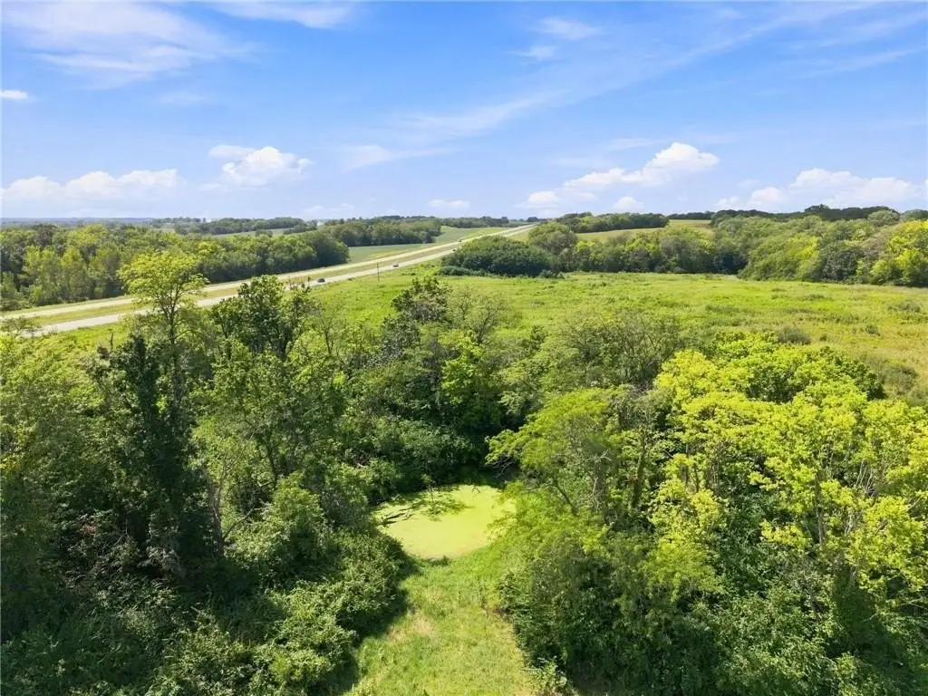
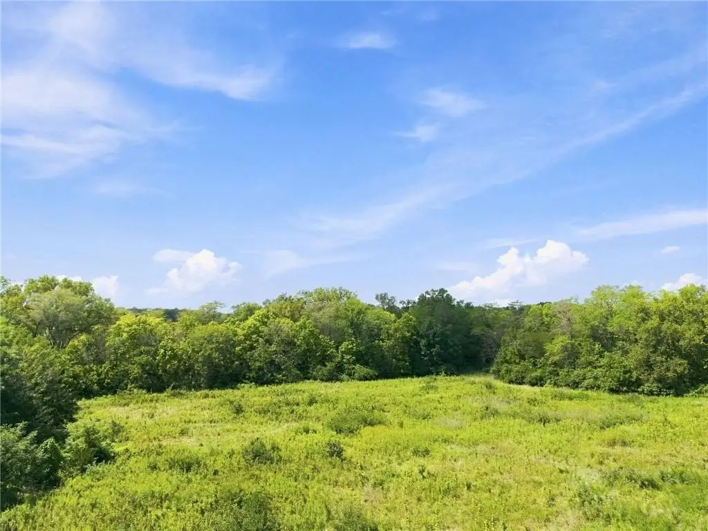
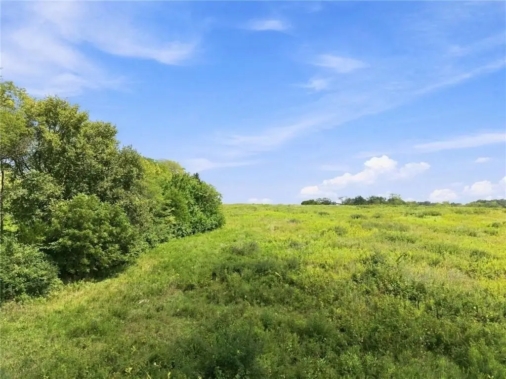
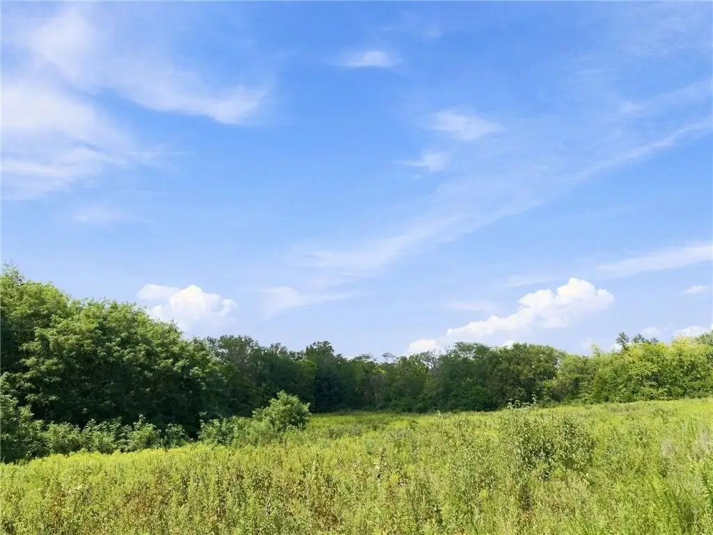
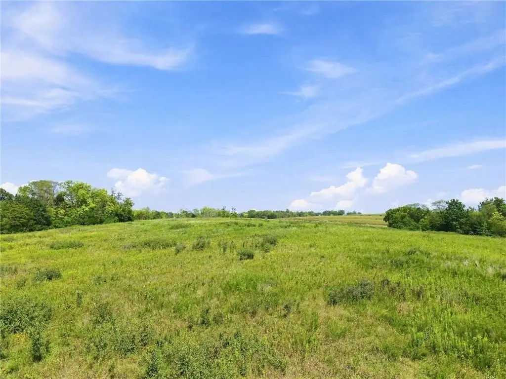
This 17.50-acre m/l agricultural tract combines open ground with a wooded portion and includes 14.7 acres enrolled in the Conservation Reserve Program. The existing CRP contract runs from 2023 through 2033, adding an established program component to the property’s agricultural profile.
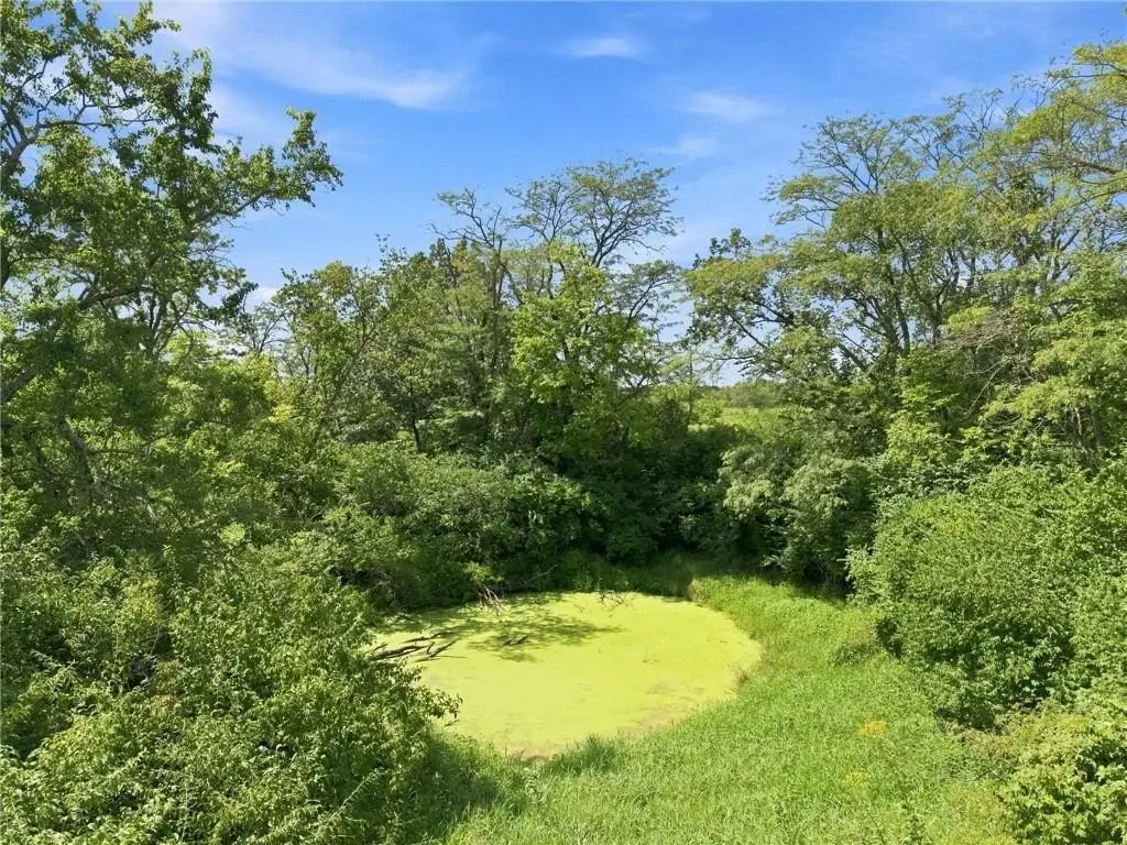
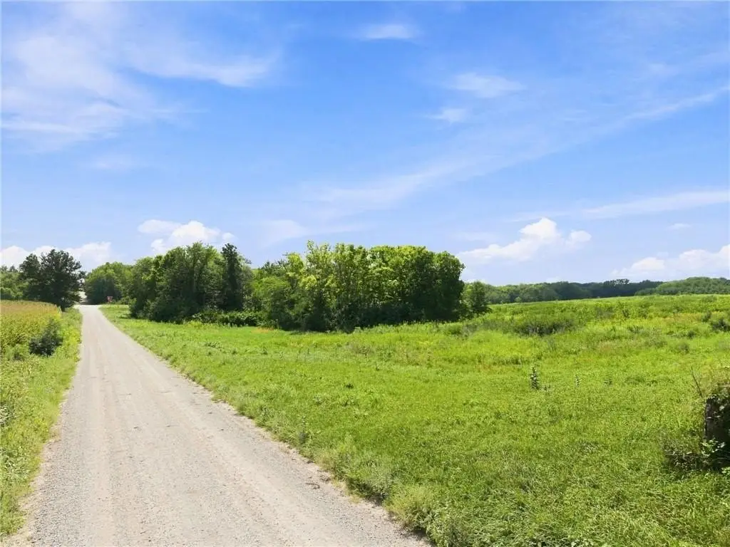
Access is provided along Highway 36, with additional entry from LIV 405. Located near Mooresville in Livingston County, the property offers a mix of managed acreage, trees, and open land that may support agricultural, recreational, and hunting-related use as described in the property information. Zoning is Ag.
Access is provided along Highway 36, with additional entry from LIV 405. Located near Mooresville in Livingston County, the property offers a mix of managed acreage, trees, and open land that may support agricultural, recreational, and hunting-related use as described in the property information. Zoning is Ag.
Key Highlights
- 17.50‑acre m/l agricultural tract
- 14.7 acres enrolled in the Conservation Reserve Program
- CRP contract runs from 2023 through 2033
Property Analytics
Property Profile
Current Use
Location Intelligence
Trade Area within ½ mile
7
Businesses Nearby
Explore this area
Business Placement
Demographics for 64664, MO
305
Population
119
Households
2.6
Avg Household Size
50
Median Age
25%
College-Educated
95%
High-School Grad
48.0 sq mi
ZIP Area
6
Density / Sq Mi
$66,250
Median Household Income
$37,443
Median Earnings
$575
Median Rent
$121,900
Median Home Value

Questions? Ask Rey
Realmo’s AI knows this listing — price, zoning, demand, history. Ask anything.
Frequently Asked Questions
What type of property is this?
Agricultural land / Farmland - Ag-zoned farmland includes CRP enrollment, wooded areas, open ground, and access from Highway 36 and LIV 405.
Where is this agricultural land / farmland located?
The property is located at US 36 Highway Mooresville, MO.
What is the asking price?
The asking price for this property is $250,000.
What are key features of this property?
This property features: 17.50‑acre m/l agricultural tract; 14.7 acres enrolled in the Conservation Reserve Program; CRP contract runs from 2023 through 2033