Upper Branch Way, Palo Pinto, TX 76484
- Added:
- May 27, 2026
- Days on Market:
- 23
- Last Refresh:
- Jun 18 at 6:06 am
Property Features for Upper Branch Way
General Information
- Property type
- Land
- Property subtype
- Other
- Standard status
- Active
- APN
- 566605
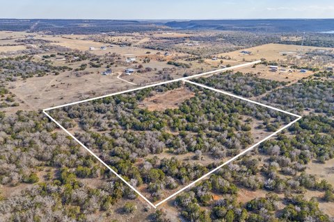
- Lot size
- 5.89 Acres
Taxes and HOA fees
- Tax Description
- ACRES: 5.887 RIVER CANYON RANCH LOT 94 G#RO72
- Tax Annual Amount
- 7
Listing agent Christina Danner License #0616362 (972) 505-3035
Listing office Storybook Realty LLC Grand Prairie, TX (972) 505-3035
Listing date May 27, 2026
Copyright © 2026 North Texas Real Estate Information Systems, Inc. All rights reserved. All information provided by the listing agent/broker is deemed reliable but is not guaranteed and should be independently verified.
HighLights
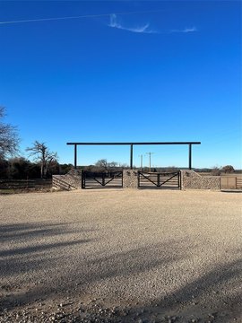
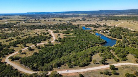
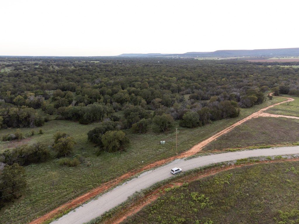
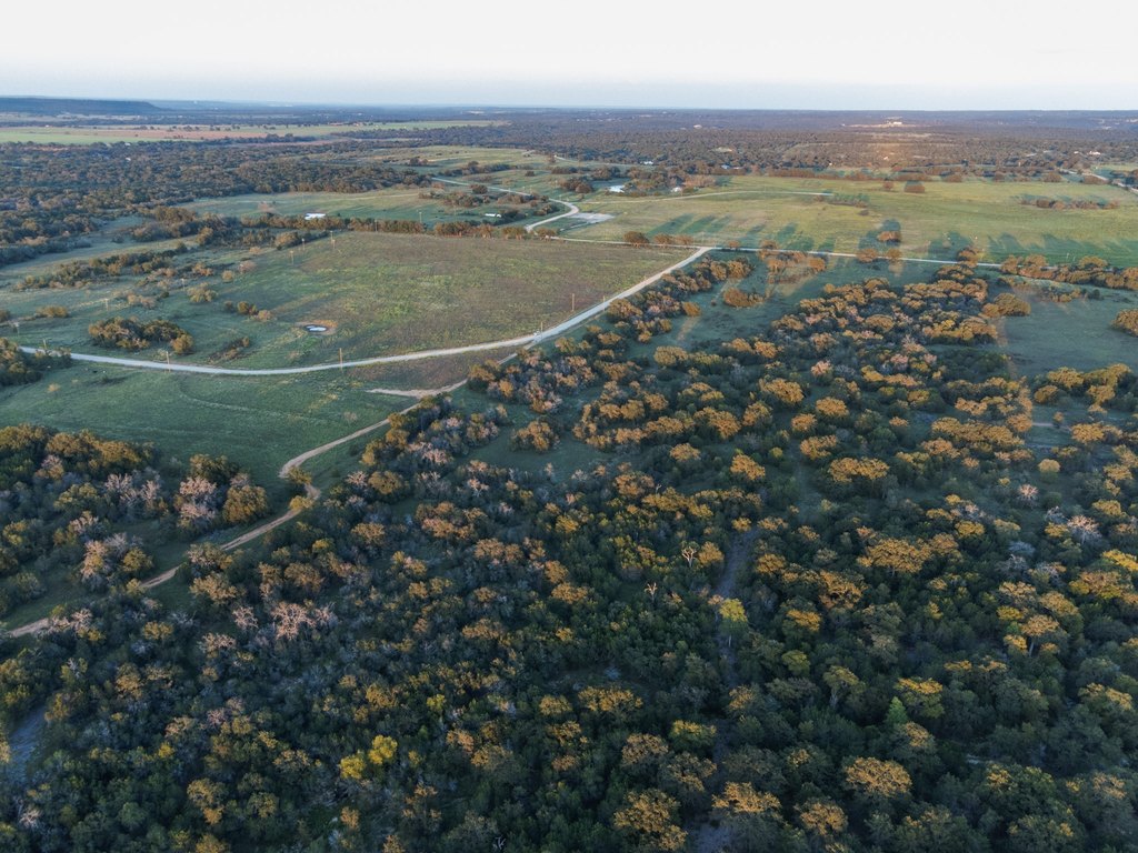
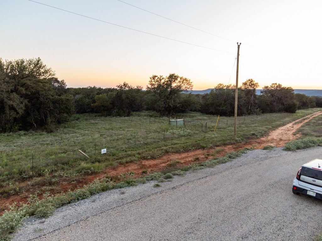
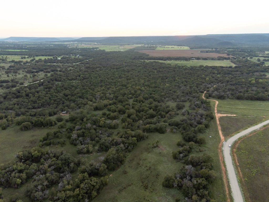
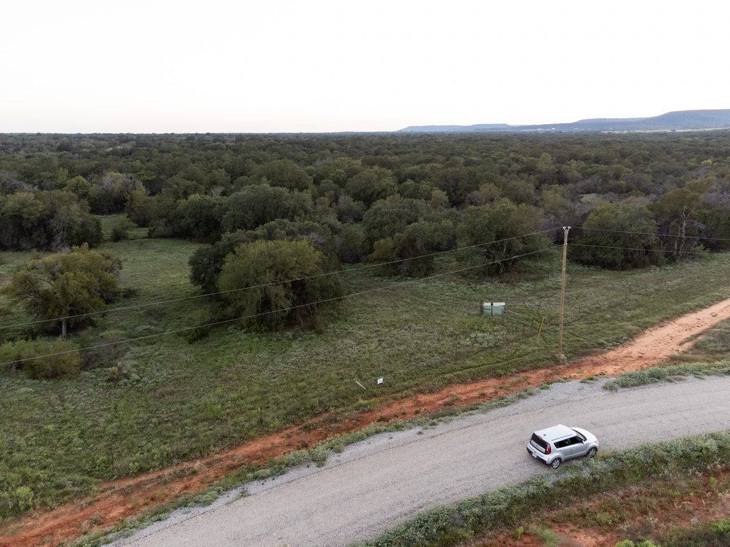
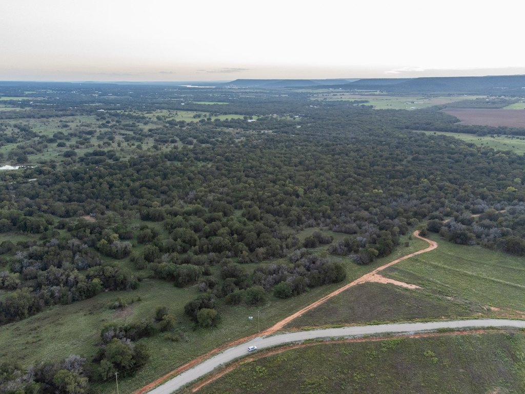
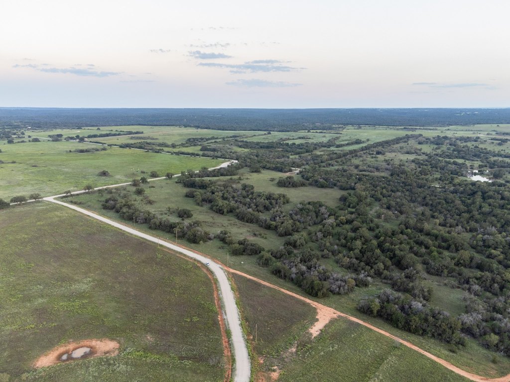
- Located in the gated community of River Canyon Ranch.
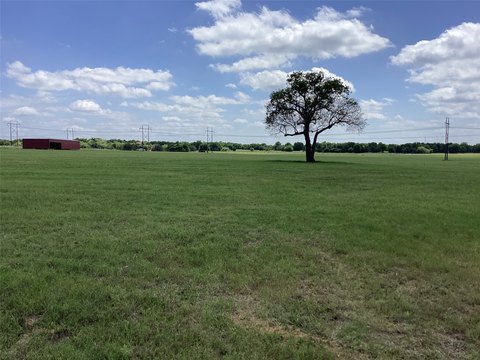
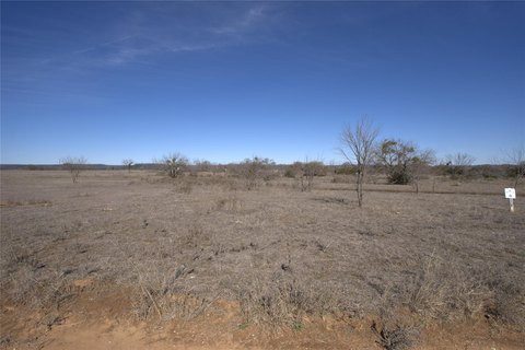
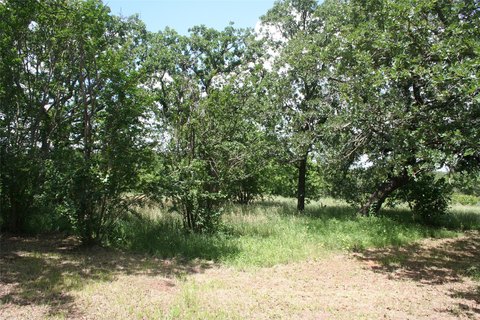
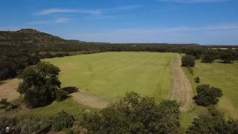
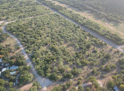
- Ag exempt property with mature trees and ample wildlife.
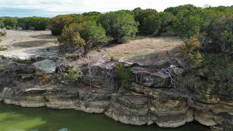
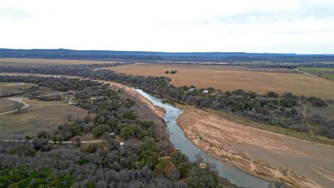
- Community River Access with a new dock.
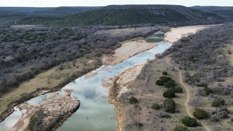
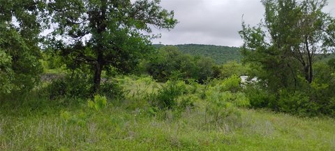
- Ideal location for building a dream house surrounded by the Palo Pinto Mountains.
- Conveniently located near Lake Palo Pinto, Mineral Wells Lake, and the Brazos River.
- Situated in the sought‑after Santo ISD.
Overview
The community setting includes access to the Brazos River nearby, with a new dock referenced in the remarks. The parcel is positioned for buyers seeking a mountain-and-river backdrop, with the Palo Pinto Mountains described as surrounding the area. Local destinations called out include Lake Palo Pinto, Santo, Mineral Wells Lake, and the Bakers Hotel, along with a stated distance to Fort Worth.
For buyers looking for residential development outside of a typical subdivision grid, this parcel offers the space to design around the existing tree cover and surrounding landscape. With river access nearby and its gated community context, it may appeal to owner-occupants and second-home buyers who want a more nature-oriented setting within reach of central Texas amenities. Buyers are encouraged to verify all information independently, including details related to exemptions and access.
Current Use by Public Records
Map
- City
- Palo Pinto
- County
- Palo Pinto
- State
- Texas
- Longitude
- -98.2832
- Latitude
- 32.7511