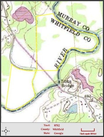
Tibbs Bridge Road, Dalton, GA 30721
LAND - DALTON, GA
- Added:
- Mar 9, 2016
- Days on Market:
- 3746
- Last Refresh:
- Jun 11 at 9:06 am
Property Features for Tibbs Bridge Road
General Information
- Property type
- Land
- Property subtype
- Other
- Zoning
- GENERAL AG
- Standard status
- Pending
- APN
- 09-285-01-000
- Lot size
- 140.86 Acres
Taxes and HOA fees
- Tax Year
- 2015
- Tax Description
- OWNER HAS PROVIDED INFO ABOUT THE PROPERTY FOR THE CONVENIENCE OF THE PROSPECTIVE BUYER & DOESN'T GUARANTEE OR WARRANT MAP SCALE OR ACCURACY, TIMBER STAND INFO, ACREAGE ESTIMATES, OR ANY OTHER INFORMATION. SALE OFFERING IS SUBJECT, WITHOUT NOTICE, AT ANY TIME INCLUDING BUT NOT LIMITED TO: WITHDRAWAL FROM MARKET, PRICE CHANGE OR PRIOR SALE. ALL PURCHASE OFFERS AND SALES SUBJECT TO OWNER'S APPROVAL.
Utilities
- Sewer type
- Septic Needed
- Water source
- Public
Listing agent Patrick Jones (706) 280-2098
Listing office Coldwell Banker Kinard Realty - Dalton 704 S Thornton Avenue, Dalton, GA (706) 226-5182
Listing date Mar 9, 2016
Copyright © 2026 Carpet Capital Association of REALTORS®. All rights reserved. All information provided by the listing agent/broker is deemed reliable but is not guaranteed and should be independently verified.
HighLights
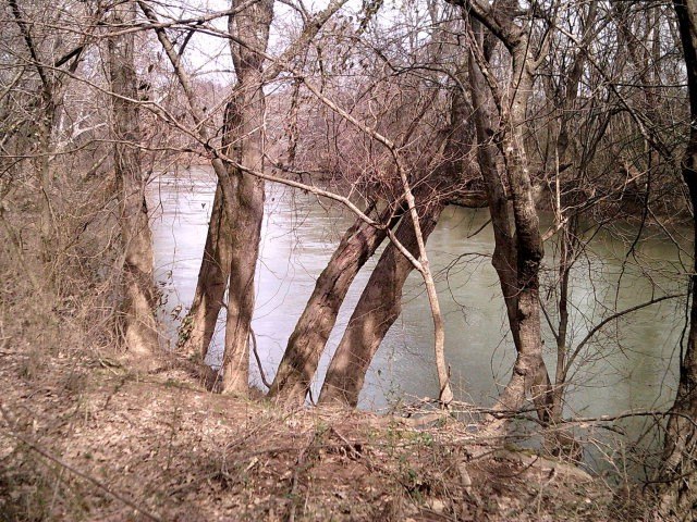
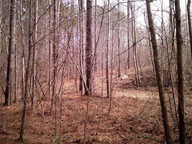
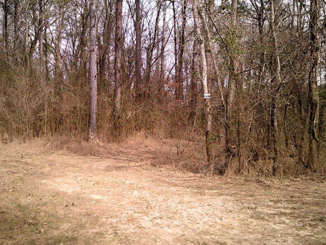
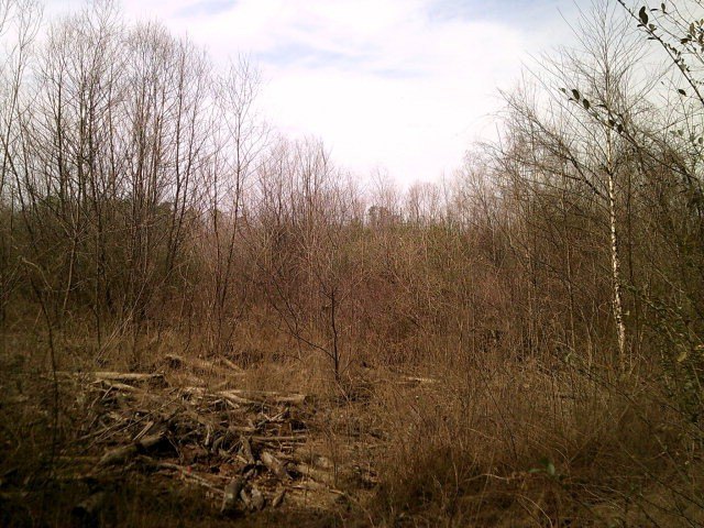
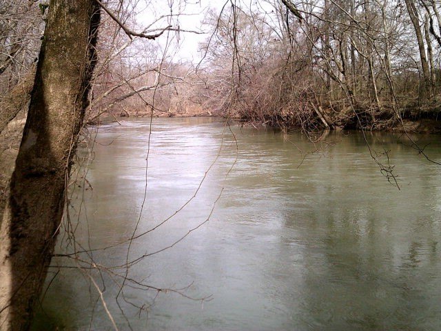
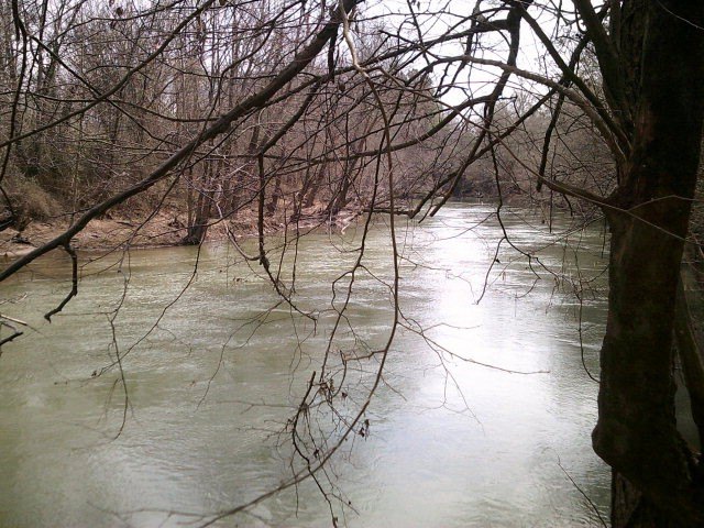
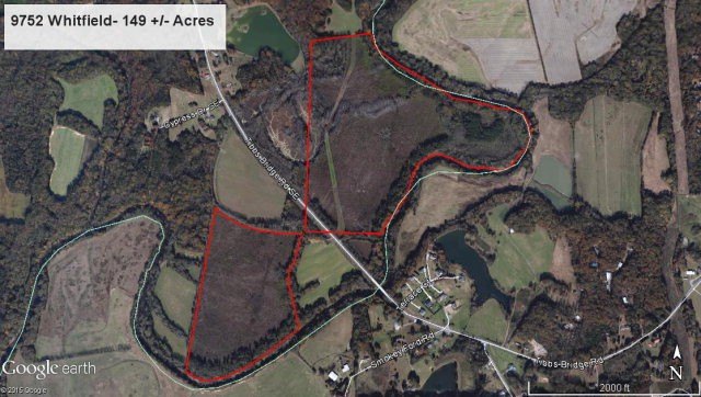
- 140.86‑acre tract in South Whitfield with 6,800+ ft of Conasauga River frontage
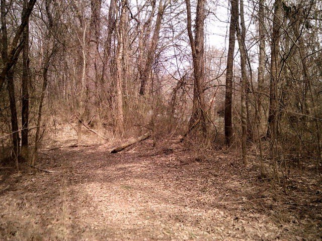
- Mostly clear‑cut bottomland suited for pasture and agricultural use
- Includes two portions: main area north of Tibbs Bridge and smaller portion to the south
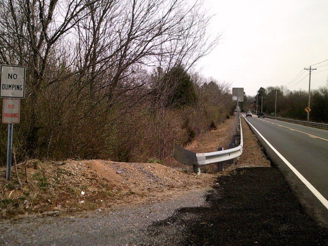
- Can be sold separately; easement access on the south
- Water source: public water; sewer: septic needed
- Mostly all located in the flood zone
Overview
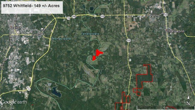
The property is located along Tibbs Bridge Road in Dalton, Georgia, in Whitfield County. Part of the acreage lies north of Tibbs Bridge with a smaller portion to the south, creating a mixed alignment relative to that crossing. Public remarks indicate easement access on the south.
For tenants, buyers, or operators seeking agricultural land, the combination of extensive river frontage and mostly clear-cut bottomland may align well with pasture or farm use plans. Prospective parties should plan for flood-zone considerations and confirm access conditions tied to the stated south easement before finalizing any use or development intentions.
Current Use by Public Records
Map
- City
- Dalton
- County
- Whitfield
- State
- Georgia
- Longitude
- -84.89655
- Latitude
- 34.758511