Corner Residential Development
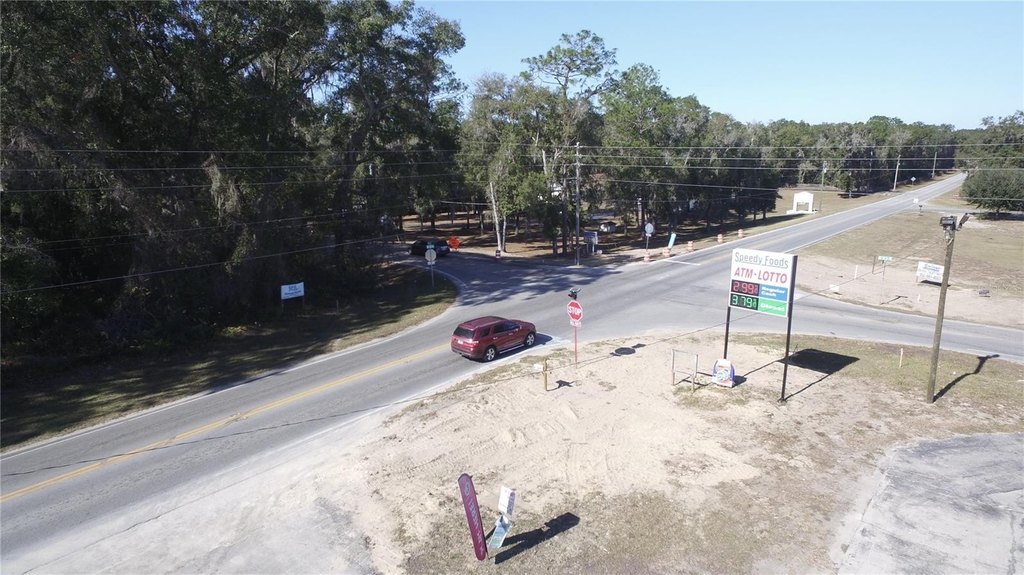
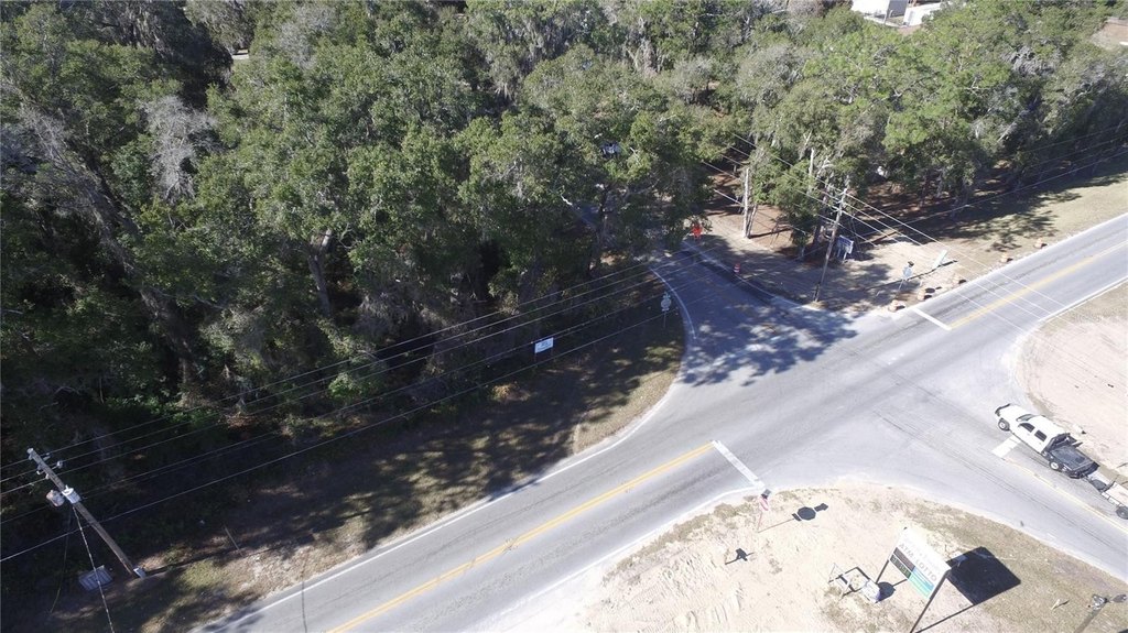
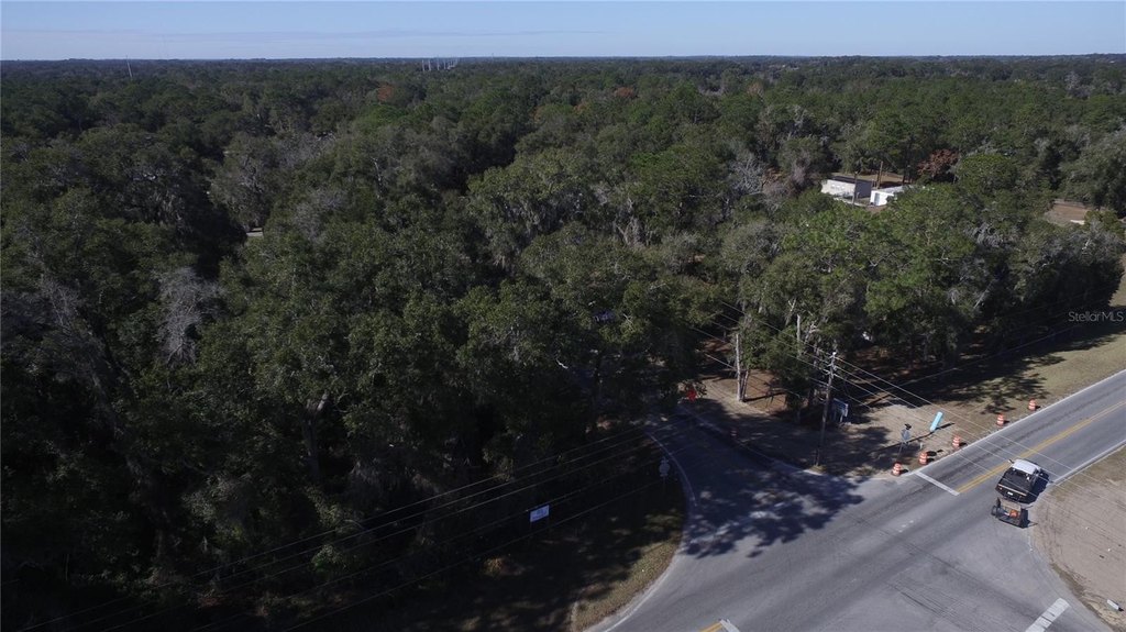
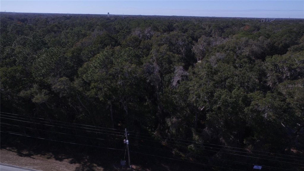
For Sale
$175,000
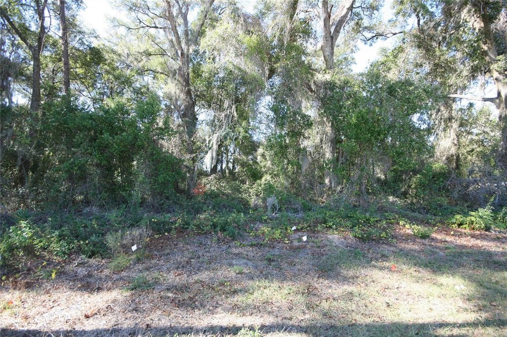
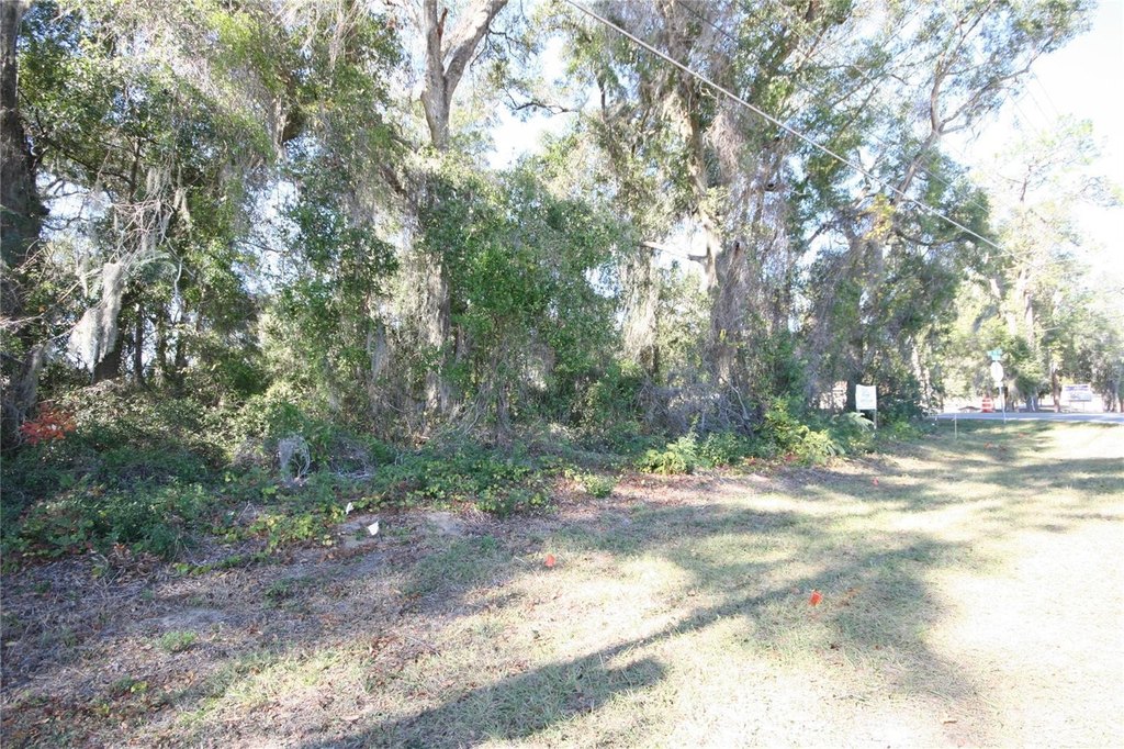
NE 36 AVE TBD, Ocala, FL 34474
Land, OCALA, FL
Property SizeContact for details
Lot Size1.50 Acres
Days on Market530
Property Features for NE 36 AVE TBD
General Information
Property type
Land
Property subtype
Other
Zoning
B2 EXPIRED
Subdivision
PINE ACRES
Lot features
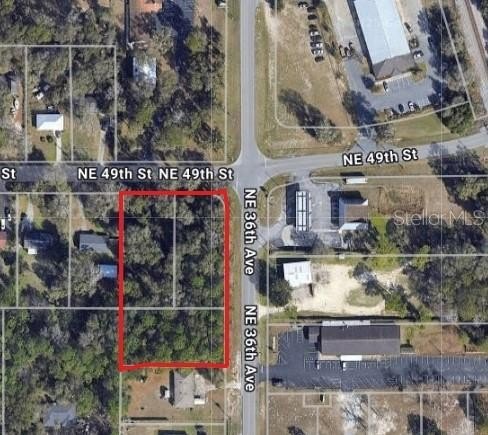
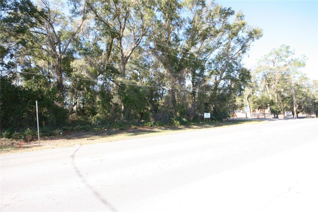
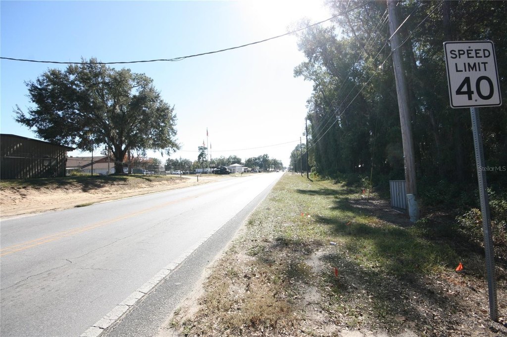
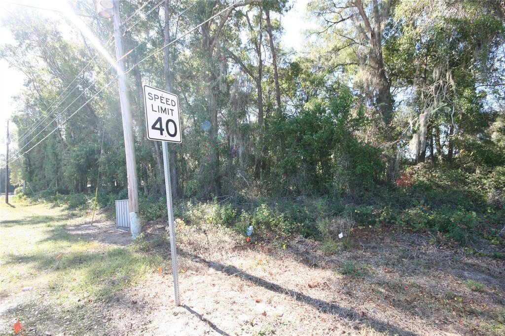
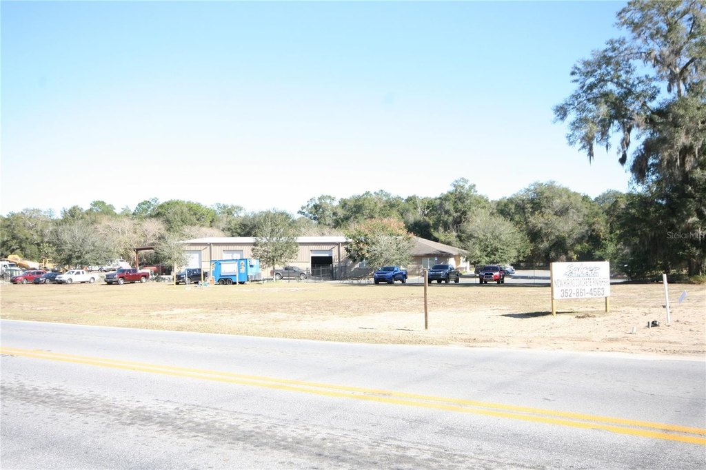
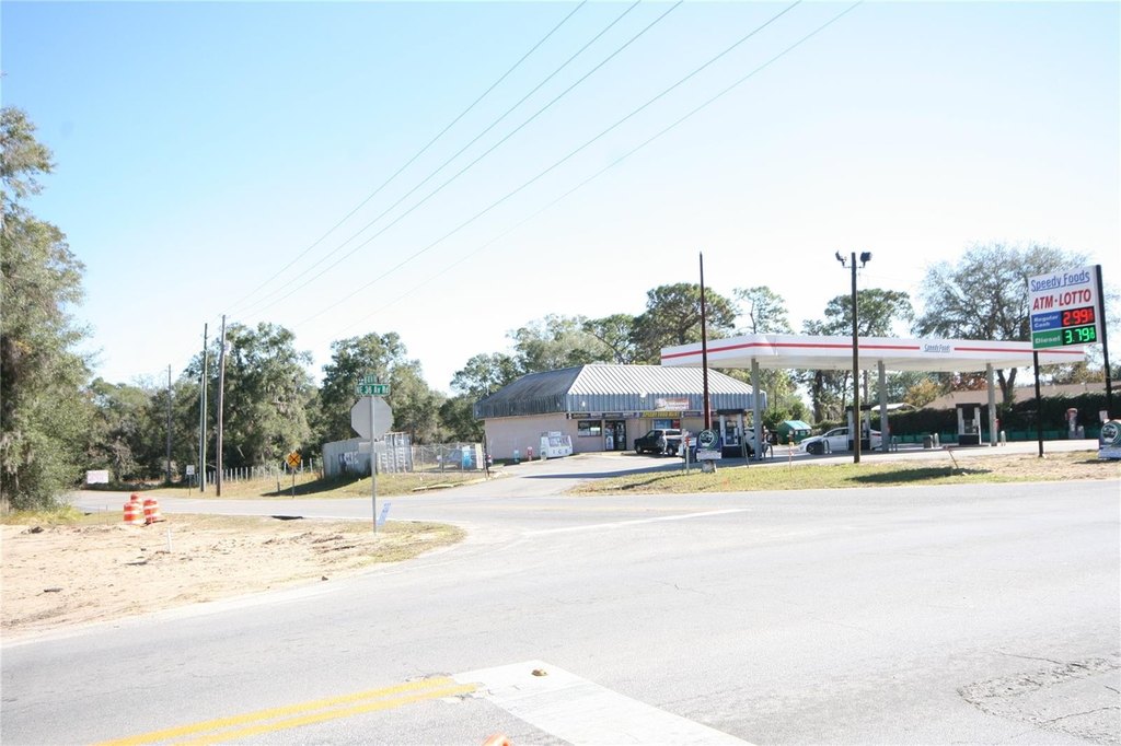
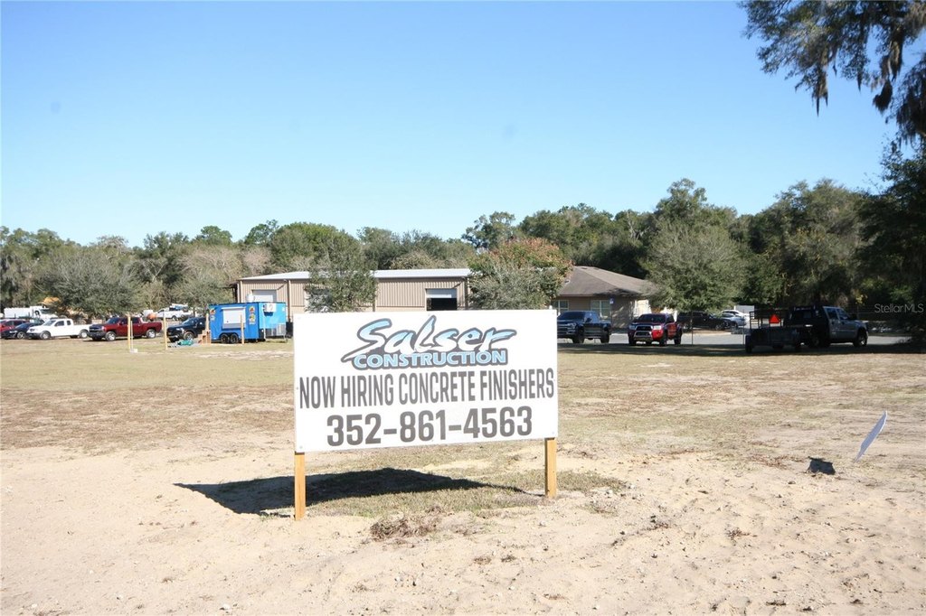
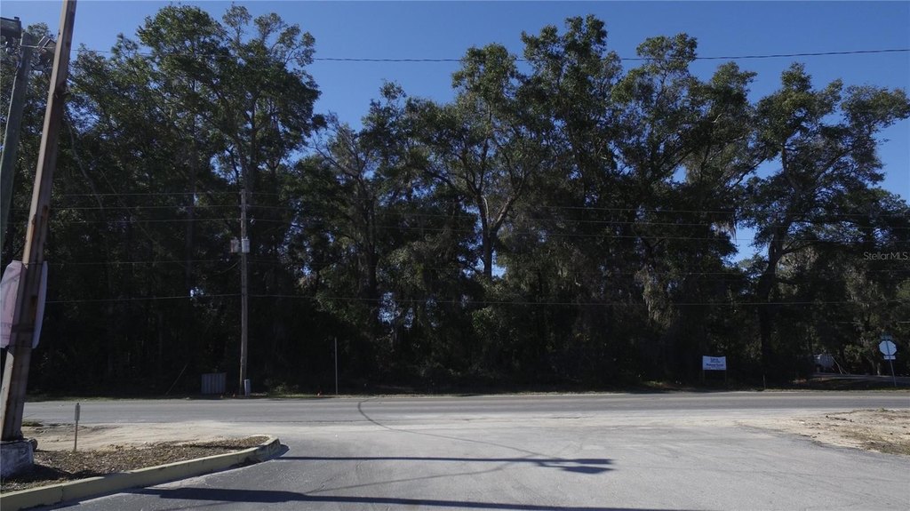
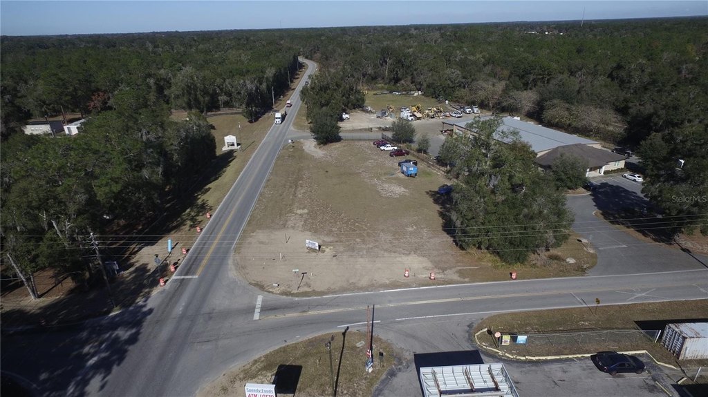
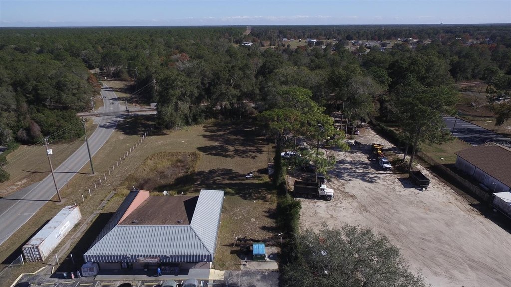
Buildable, Corner Lot, In County
Directions
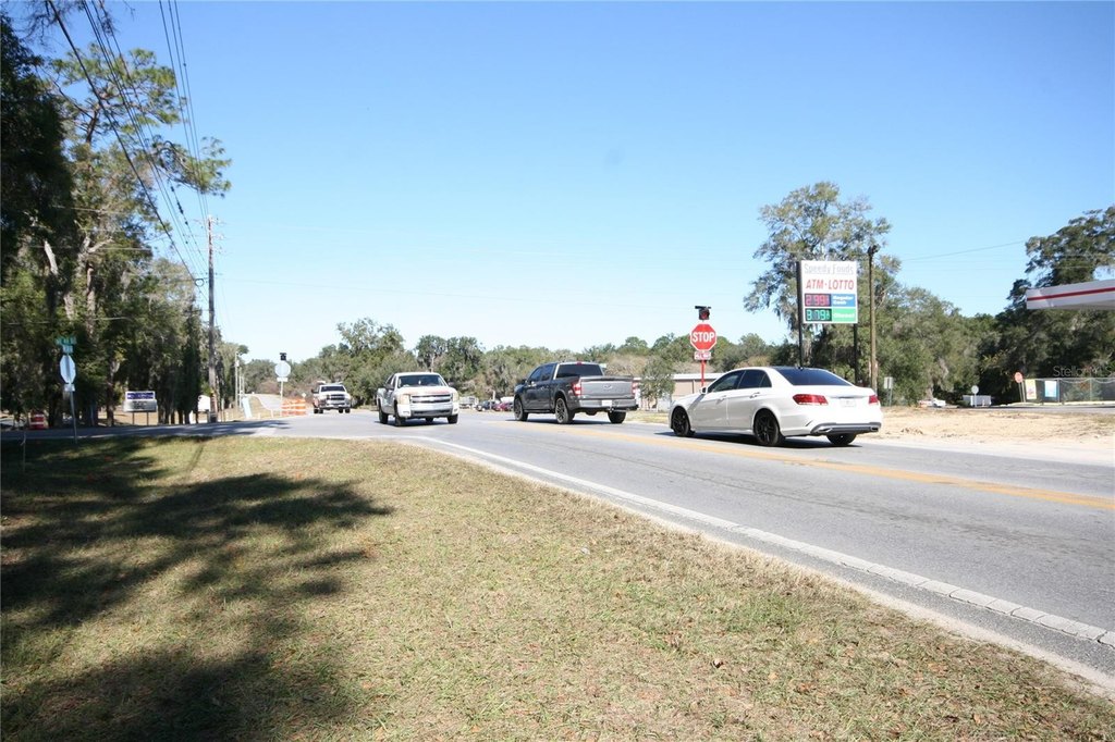
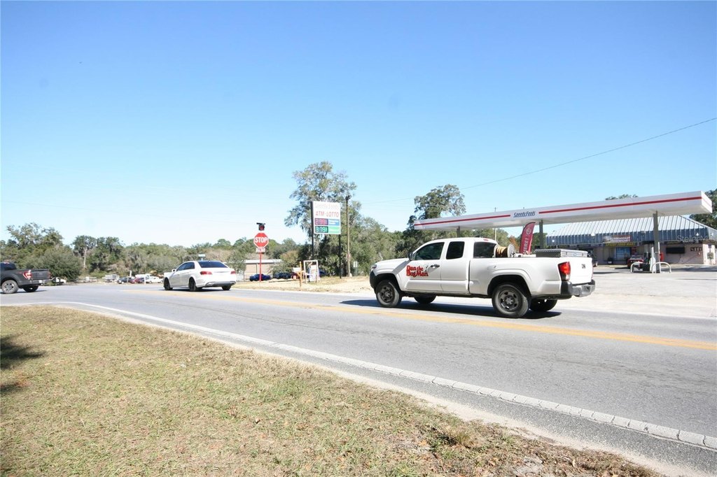
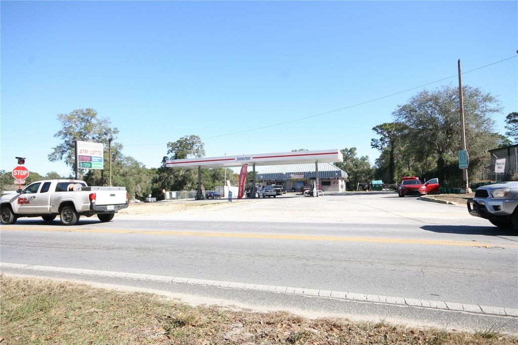
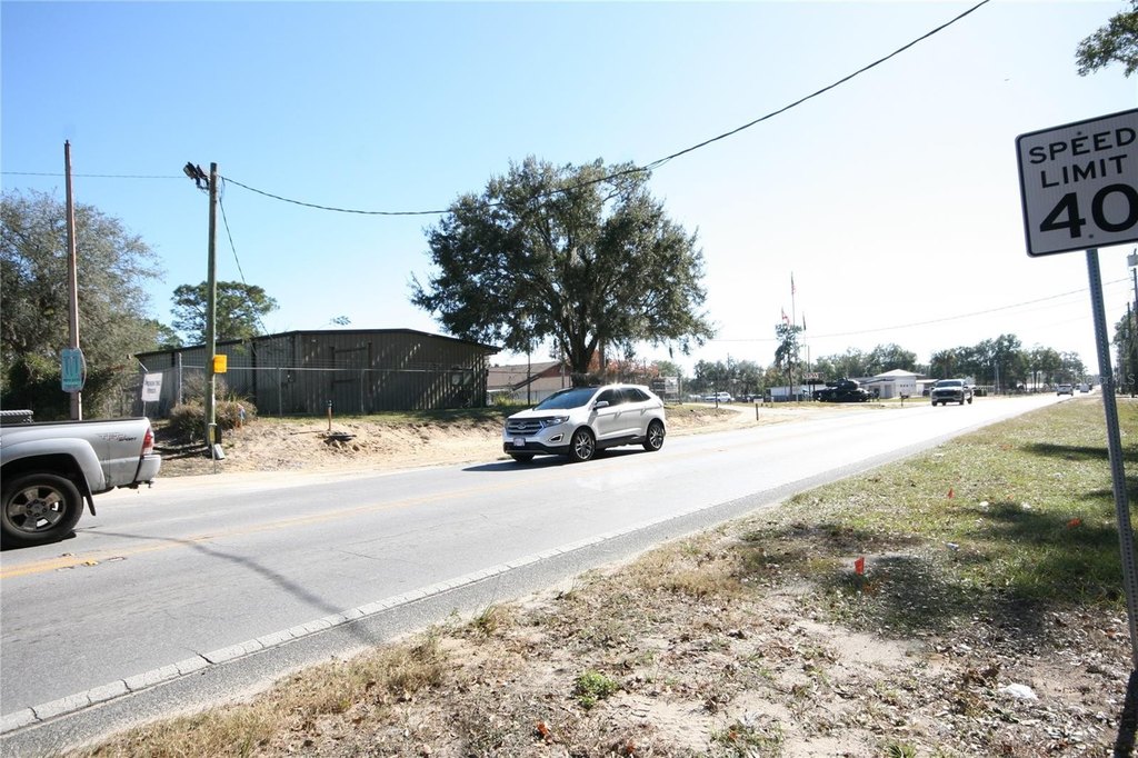
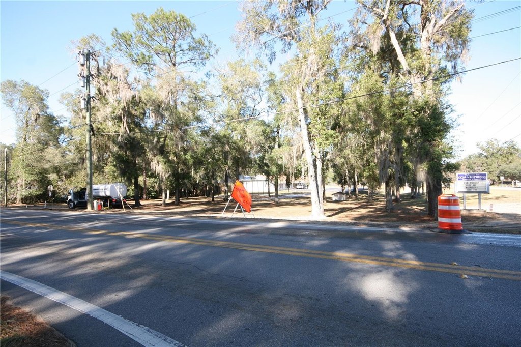
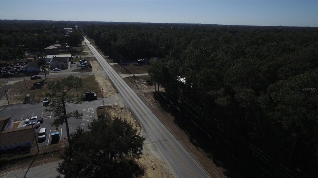
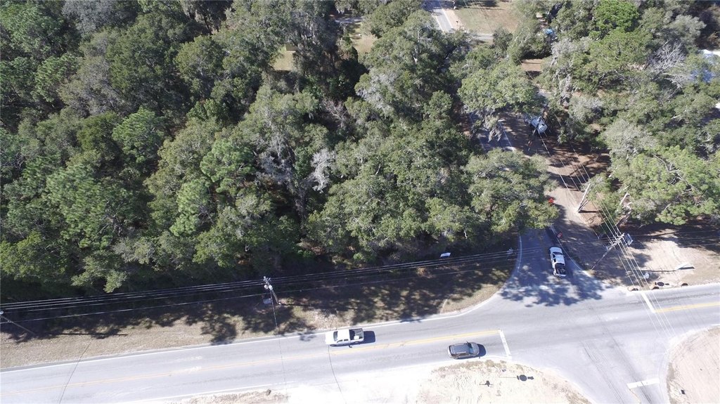
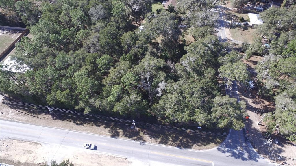
Property is located in NE Marion County, go to SW corner of NE 49th St NE 36th Ave road.
Standard status
Active
APN
1492-010-004
Lot size
1.50 Acres
Taxes and HOA fees
Tax Year
2024
Tax Description
SEC 34 TWP 14 RGE 22 PLAT BOOK S PAGE 006 PINE ACRES BLK 10 LOT 4, Lot 5, Lot 6
Tax Annual Amount
2408
Legal Description
SEC 34 TWP 14 RGE 22 PLAT BOOK S PAGE 006 PINE ACRES BLK 10 LOT 4, Lot 5, Lot 6
Utilities
Sewer type
Septic Needed
Listing Agency:
EXIT ELITE REALTY · EXIT Realty
(813) 835-0000
Listed By:
Rahmat Barkat · License #3612064
(813) 240-7386
Added: Mar 26, 2025
Changed: Aug 20
Last Checked: Sep 6 at 12:06AM
MLS# TB8366518
Copyright © 2026 Stellar MLS. All rights reserved. All information provided by the listing agent/broker is deemed reliable but is not guaranteed and should be independently verified.
Investment Insights
Based on property information with market context.
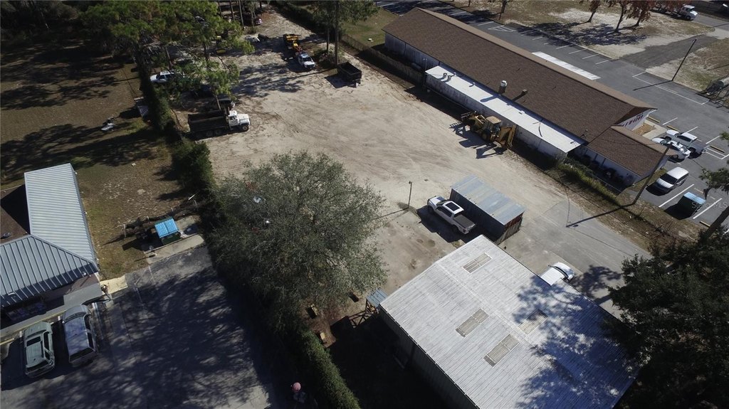
This 1.5-acre corner parcel is comprised of three lots, parcel ID numbers 1492-010-004, 1492-010-005, and 1492-010-006. The listing notes there is no flood zone and no HOA.
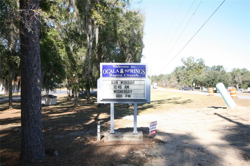
Land use for the property was updated in April 2026, with the Residential boundary lines changed from commercial to residential based on confirmation from the Marion County Zoning Department. While tax records still show a previous zoning code of B2 commercial, the stated current and future land use is residential. A church may be built with a special use permit.
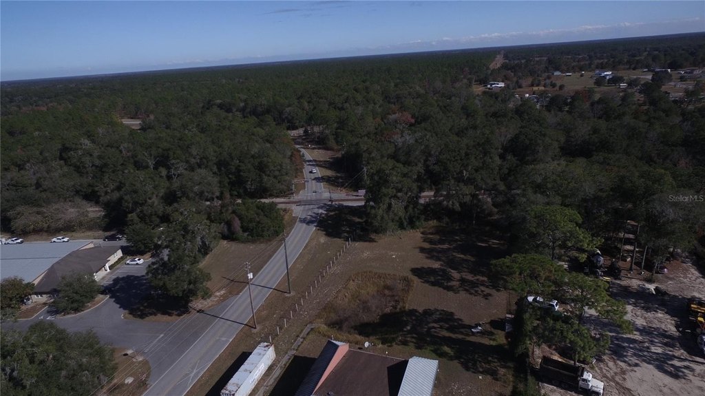
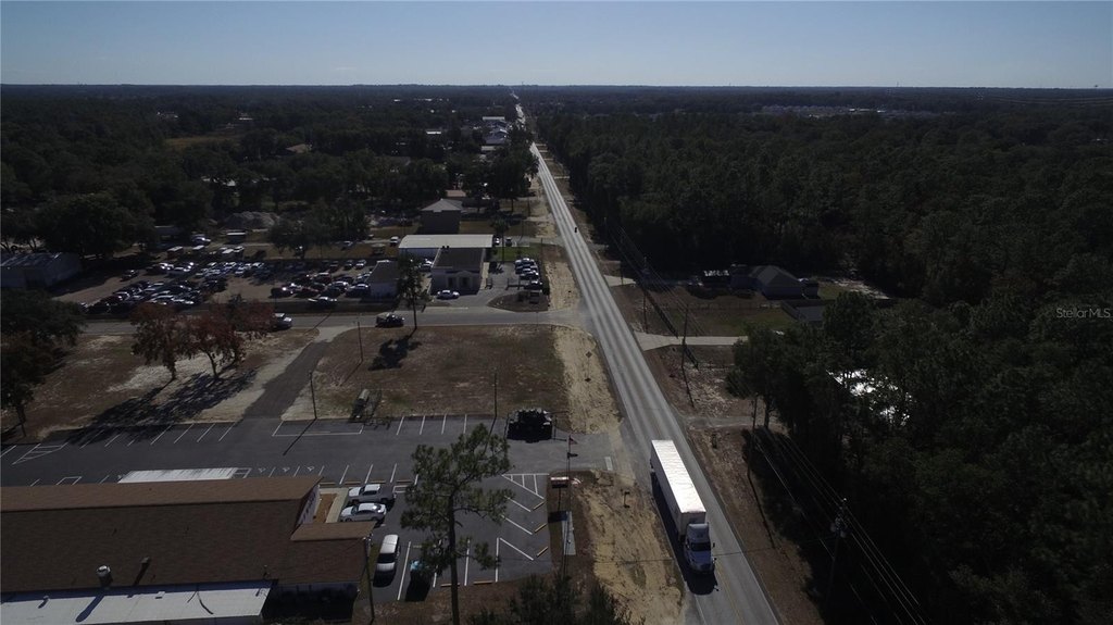
The property is located in the northeast quadrant of Ocala, Florida, with proximity described to Silver Springs State Park and the Ocala National Forest.
Land use for the property was updated in April 2026, with the Residential boundary lines changed from commercial to residential based on confirmation from the Marion County Zoning Department. While tax records still show a previous zoning code of B2 commercial, the stated current and future land use is residential. A church may be built with a special use permit.
The property is located in the northeast quadrant of Ocala, Florida, with proximity described to Silver Springs State Park and the Ocala National Forest.
Key Highlights
- 1.5‑acre corner parcel made up of 3 lots (parcel IDs 1492‑010‑004, 1492‑010‑005, 1492‑010‑006)
- No flood zone reported and no HOA
- Land use updated in April 2026 from Commercial to Residential based on Marion County Zoning Dept confirmation
Property Analytics
Property Profile
Current Use
Location Intelligence
Trade Area within ½ mile
111
Businesses Nearby
Explore this area
Business Placement
Demographics for 34474, FL
17,781
Population
9,207
Households
1.9
Avg Household Size
41
Median Age
31%
College-Educated
93%
High-School Grad
21.0 sq mi
ZIP Area
847
Density / Sq Mi
$62,150
Median Household Income
$36,422
Median Earnings
$1,605
Median Rent
$177,800
Median Home Value

Questions? Ask Rey
Realmo’s AI knows this listing — price, zoning, demand, history. Ask anything.



Frequently Asked Questions
What type of property is this?
Residential land & home lot - 1.5-acre corner parcel made up of three lots with confirmed residential boundary and no flood zone.
Where is this residential land & home lot located?
The property is located at NE 36 AVE TBD Ocala, FL.
What is the asking price?
The asking price for this property is $175,000.
What are key features of this property?
This property features: 1.5‑acre corner parcel made up of 3 lots (parcel IDs 1492‑010‑004, 1492‑010‑005, 1492‑010‑006); No flood zone reported and no HOA; Land use updated in April 2026 from Commercial to Residential based on Marion County Zoning Dept confirmation


